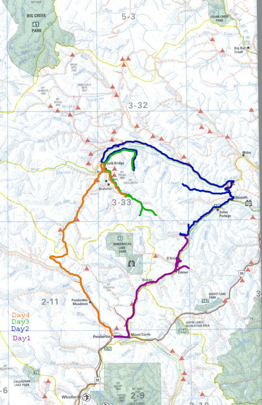
Going McGillvray
Day 1 Sea to Sky & Beyond
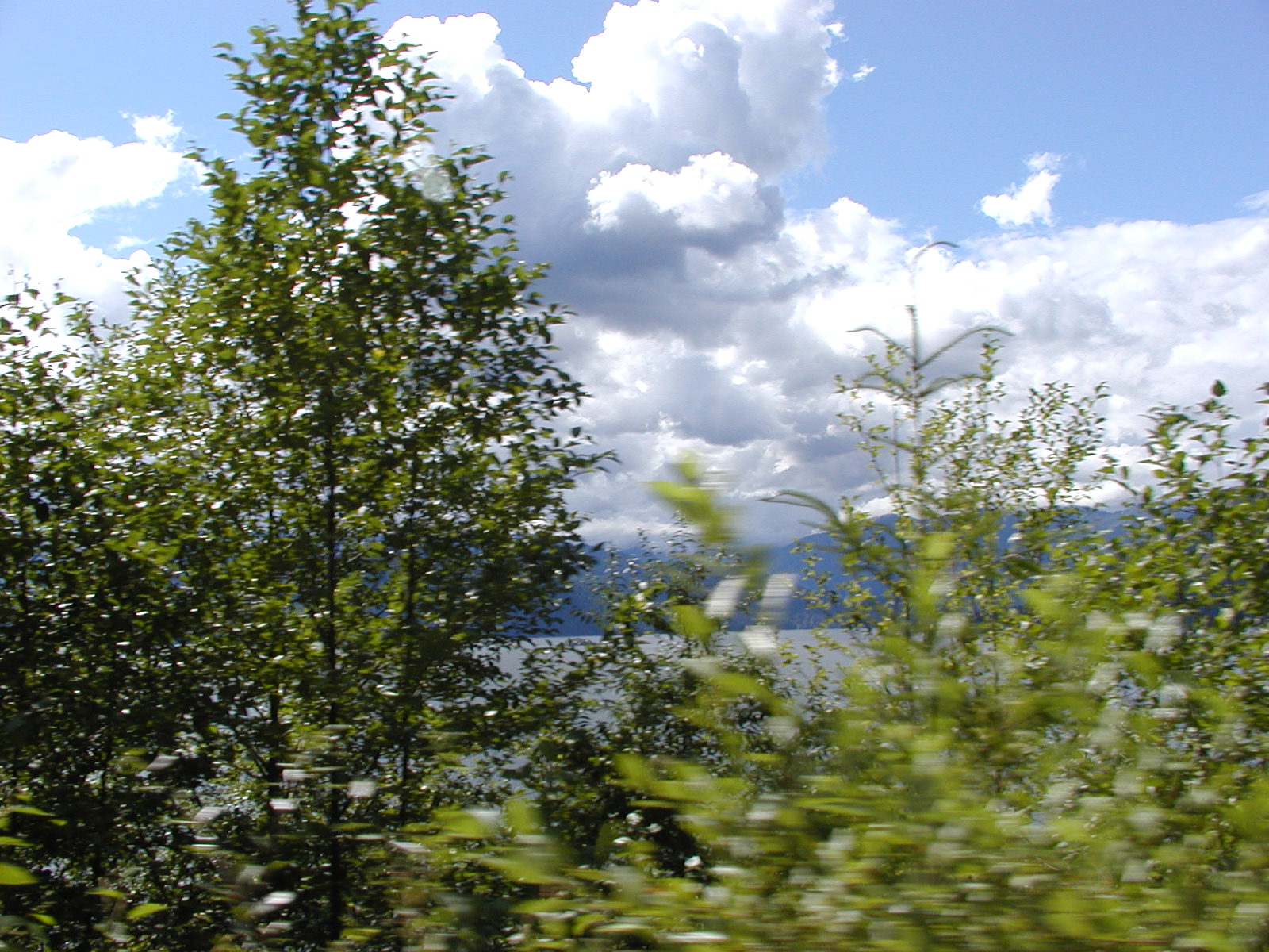
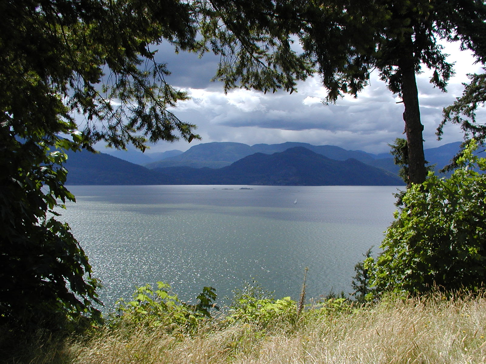
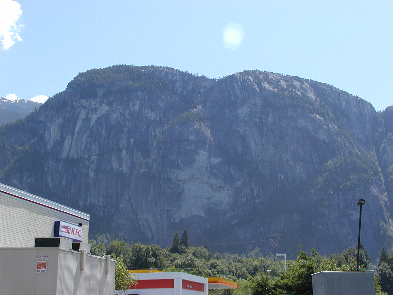
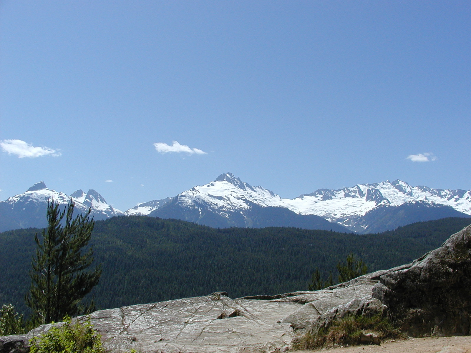
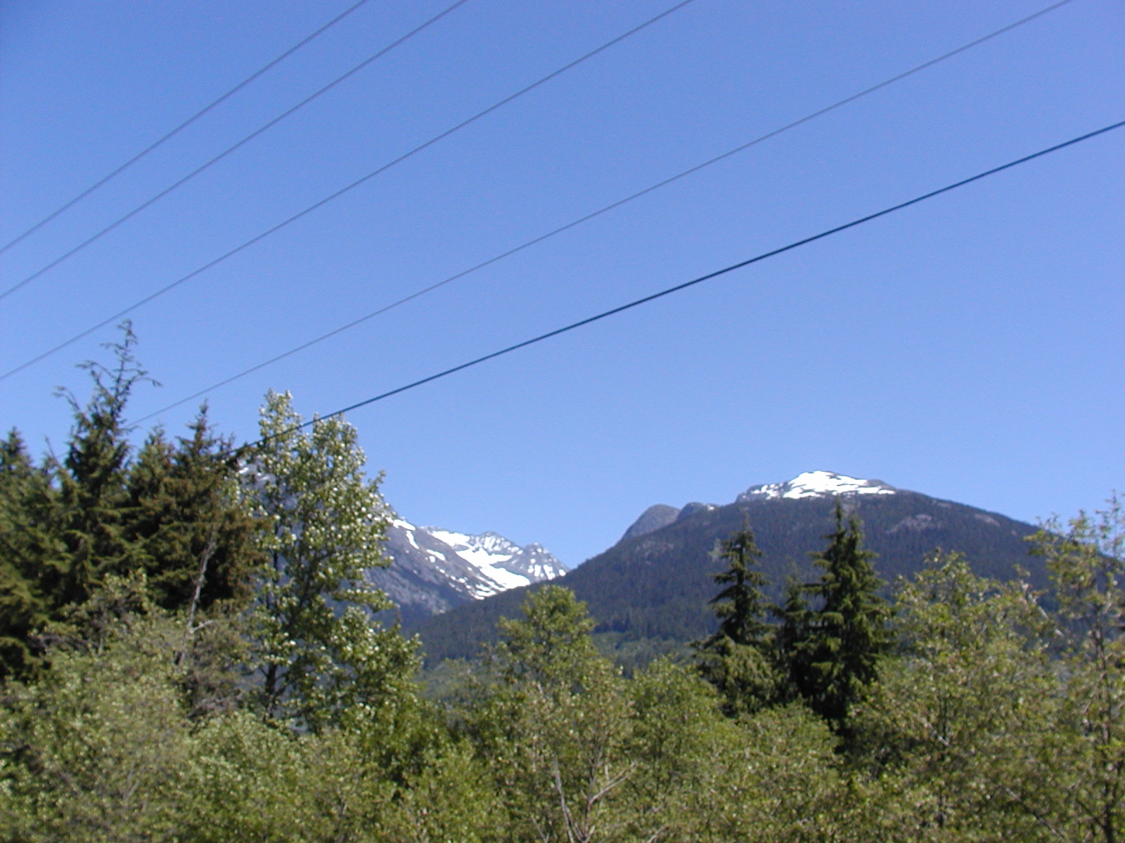
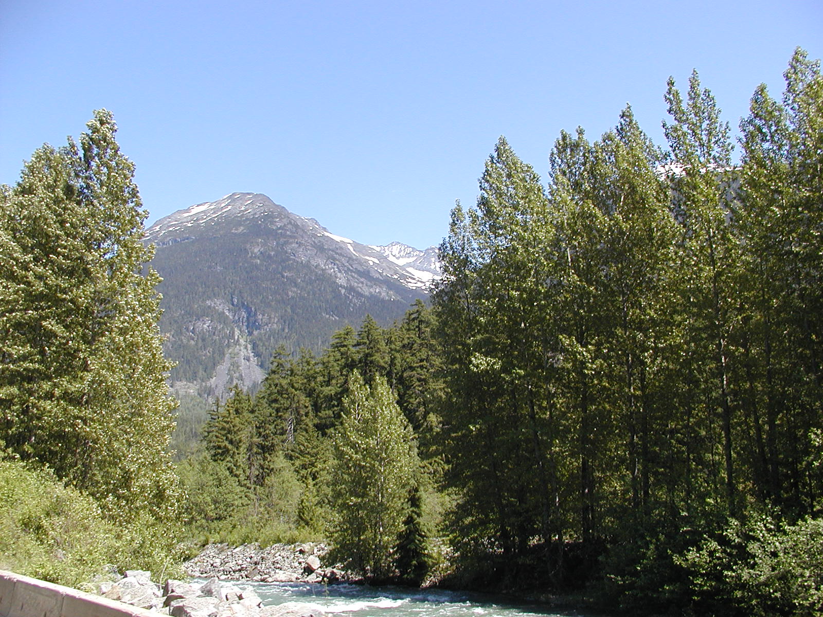
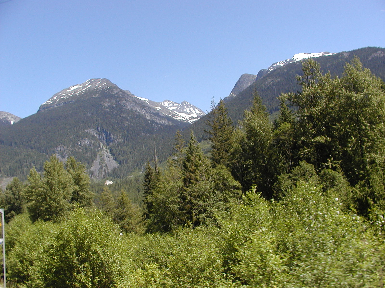
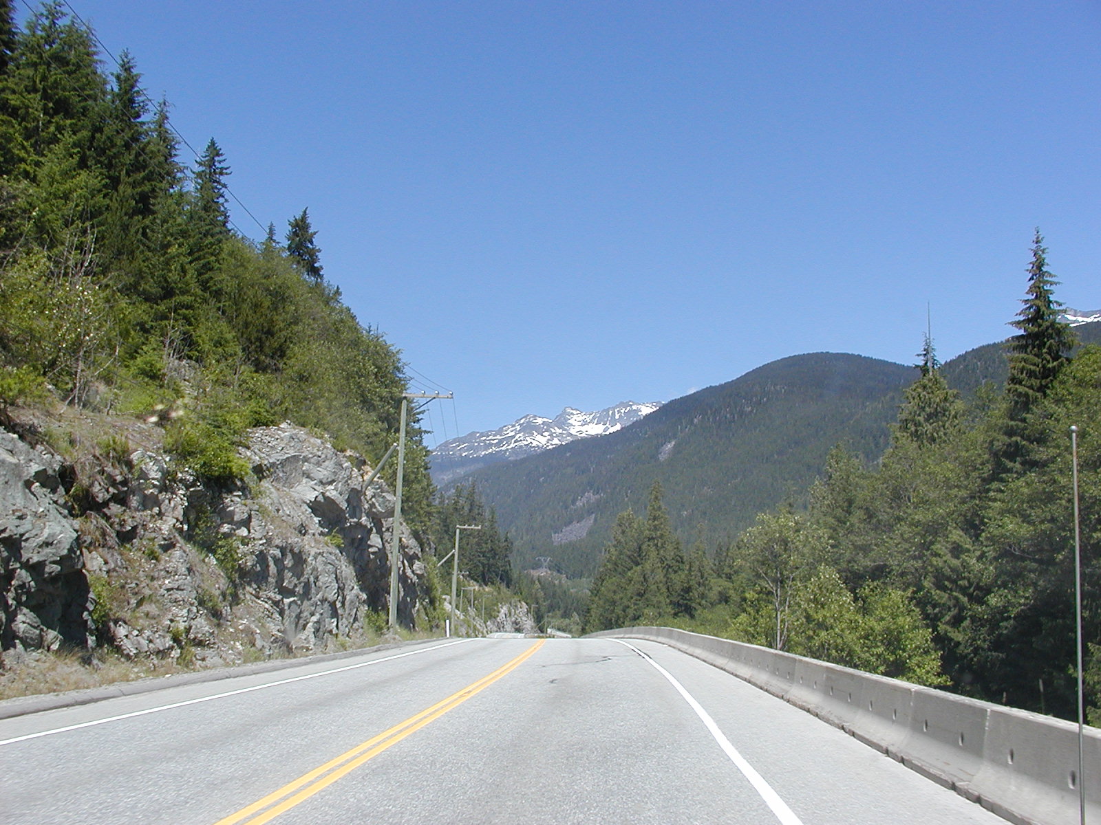
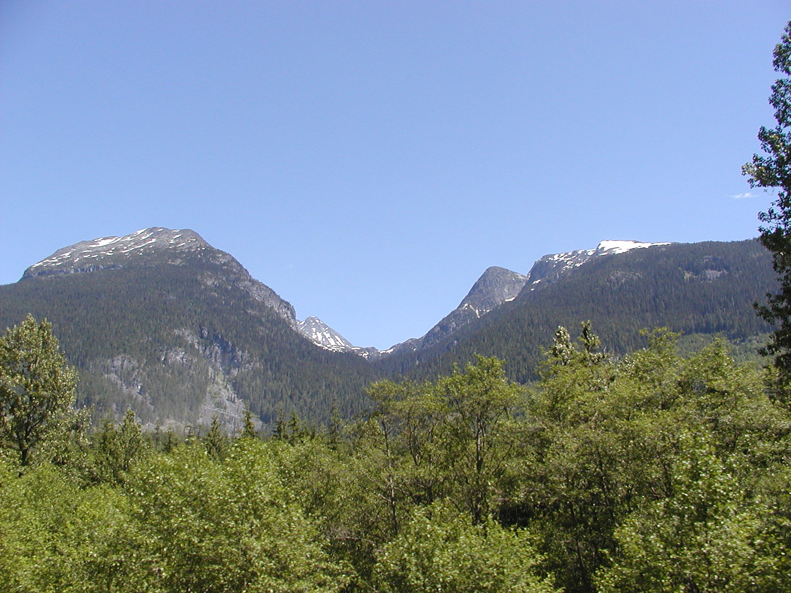
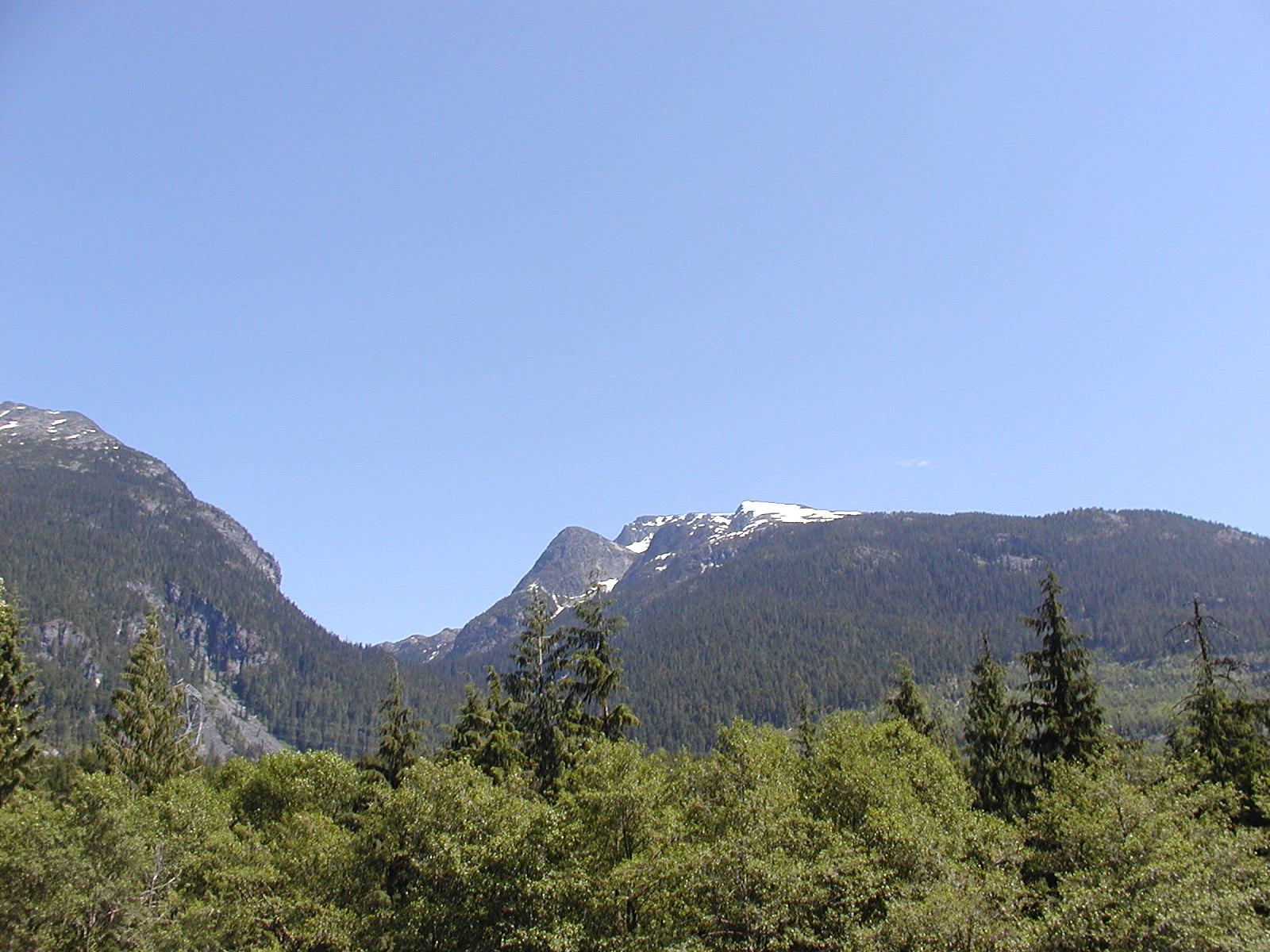
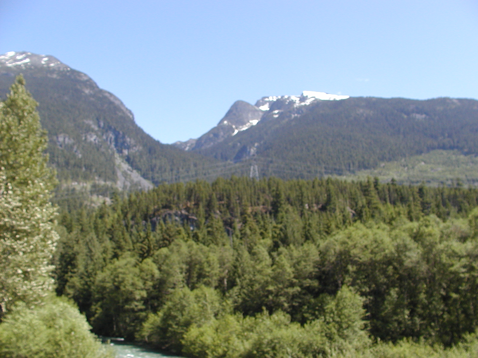
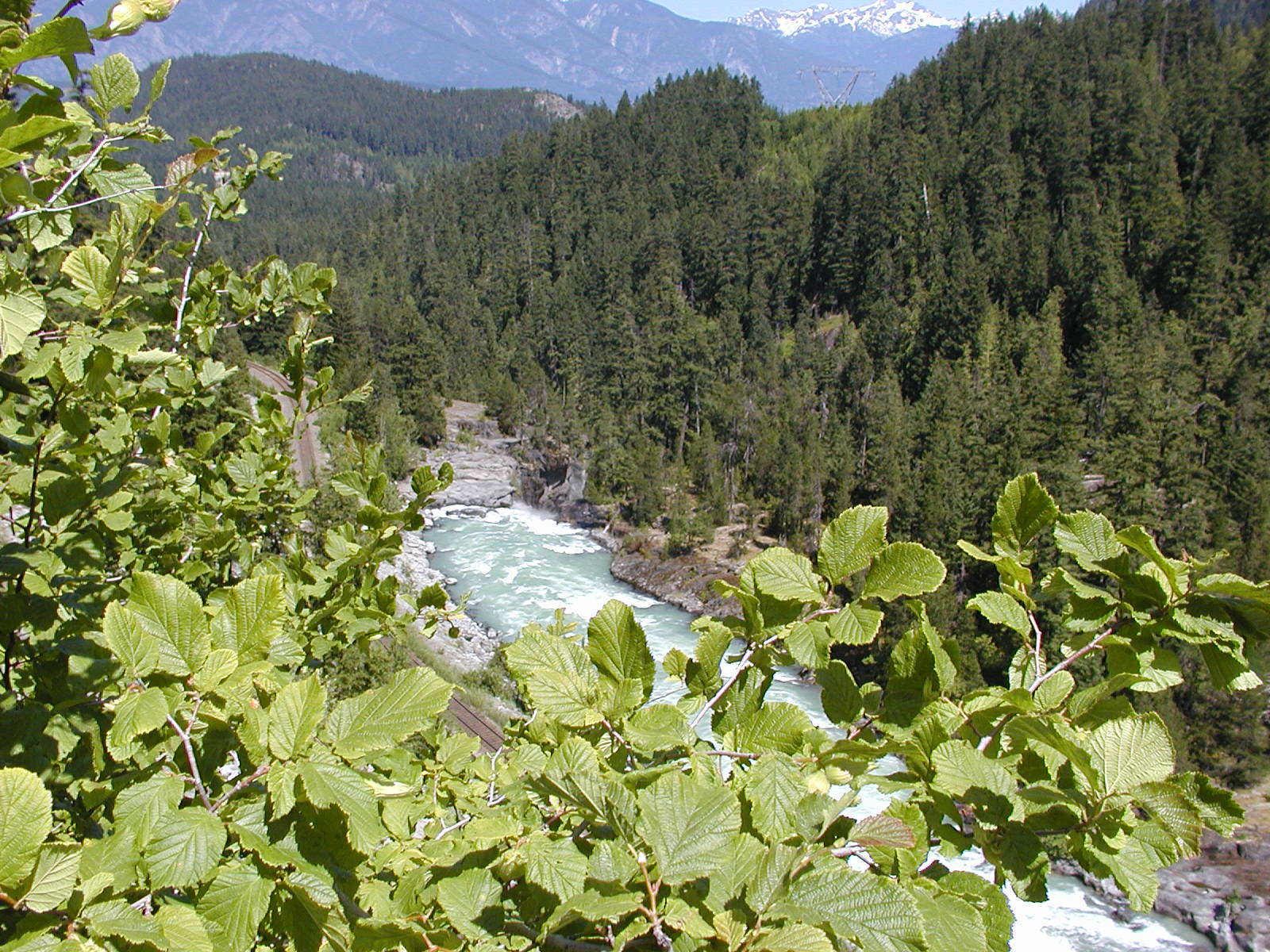
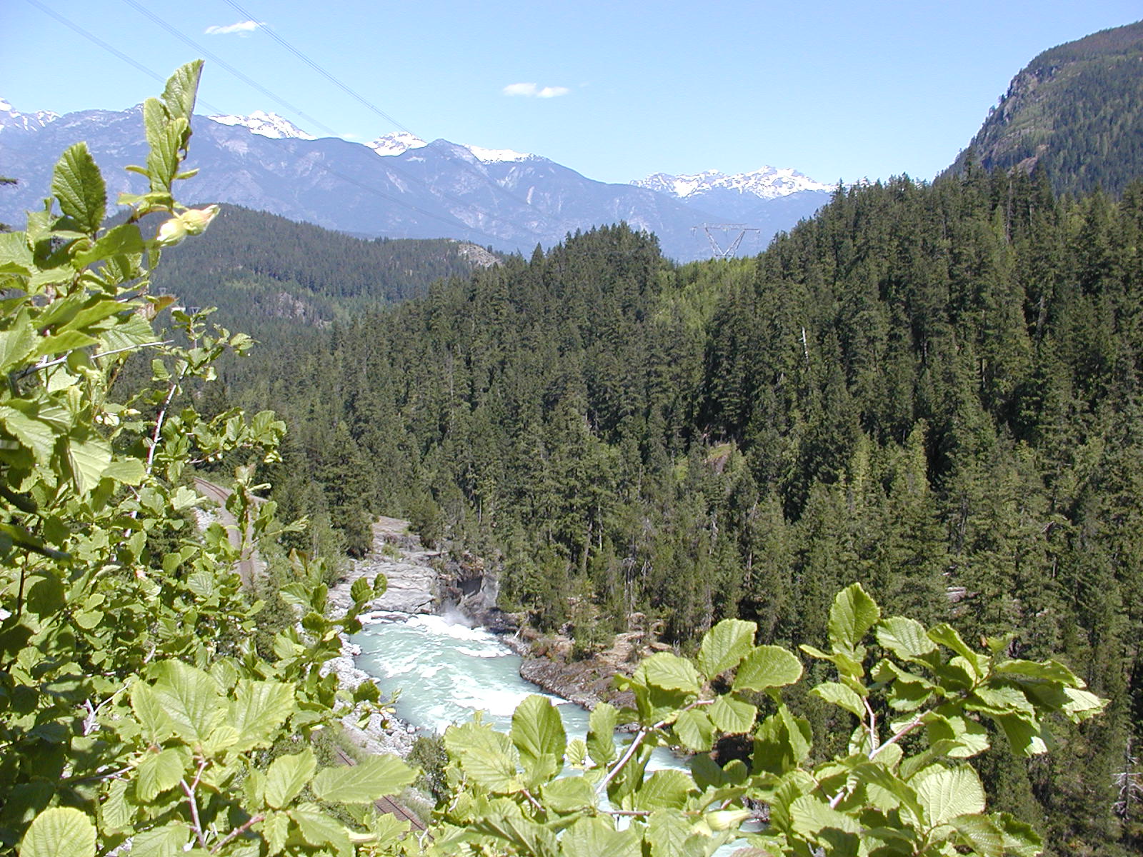
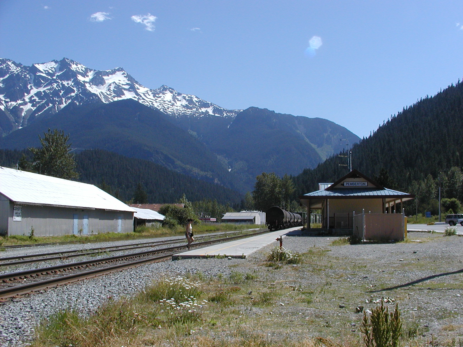
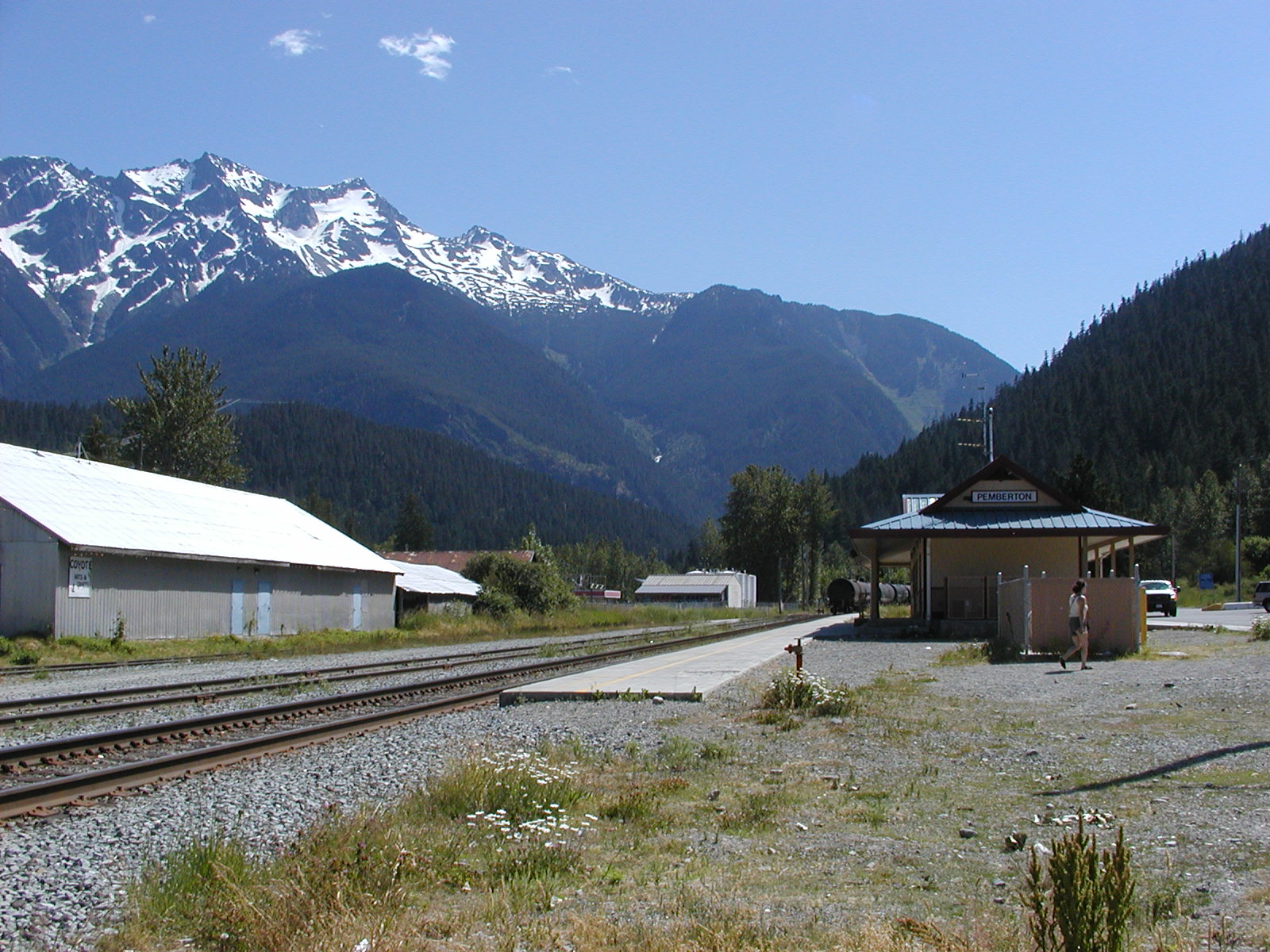
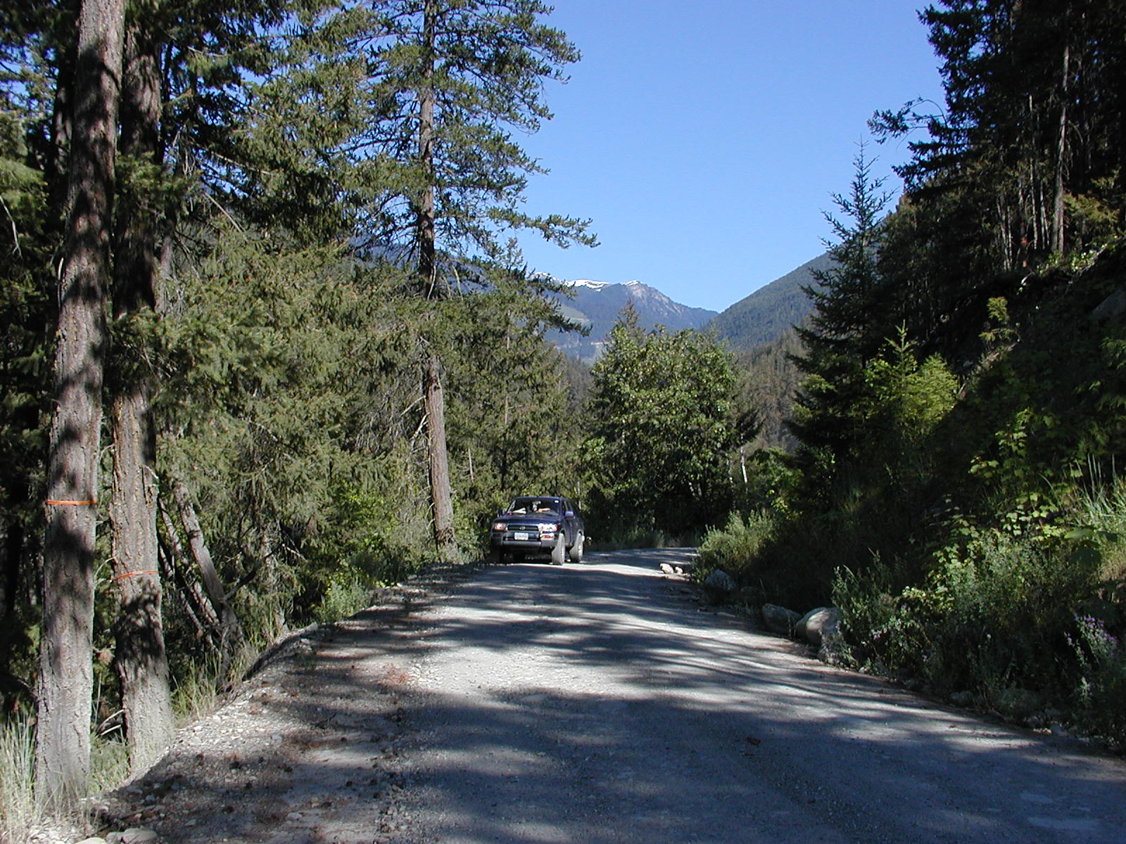
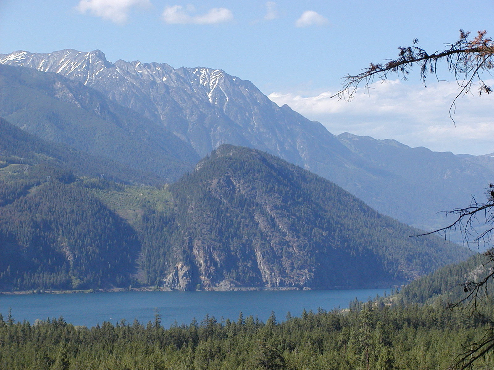
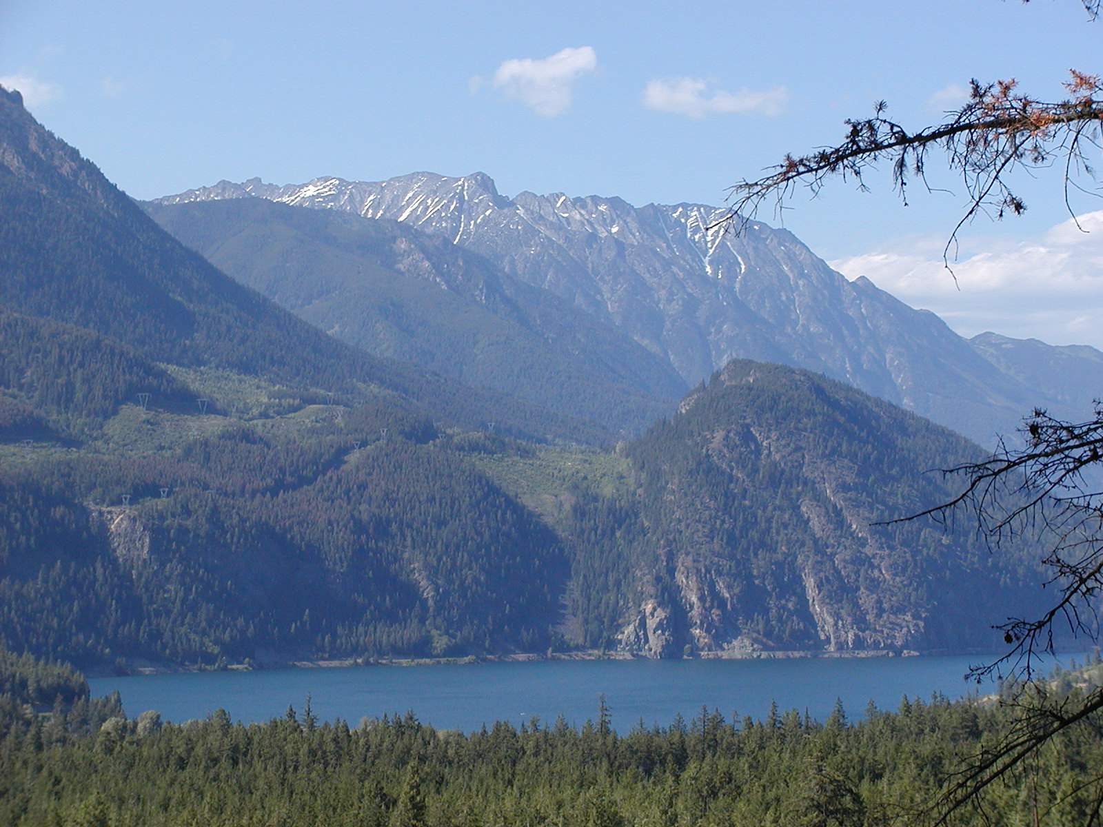
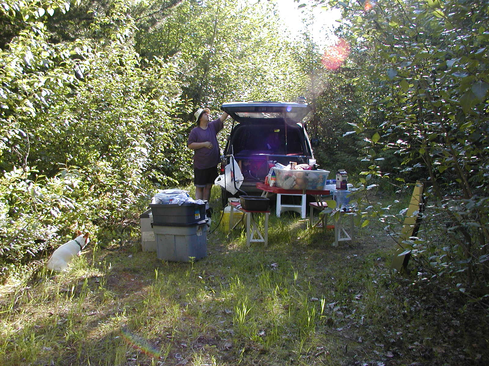
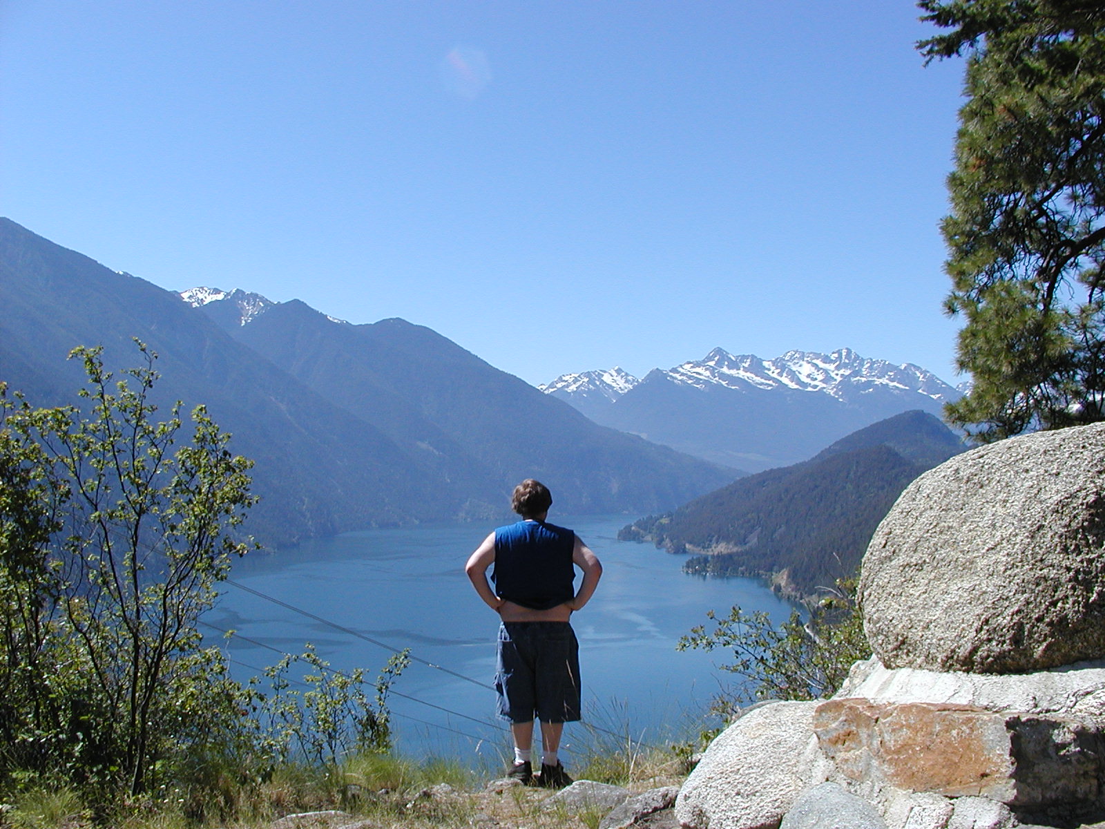
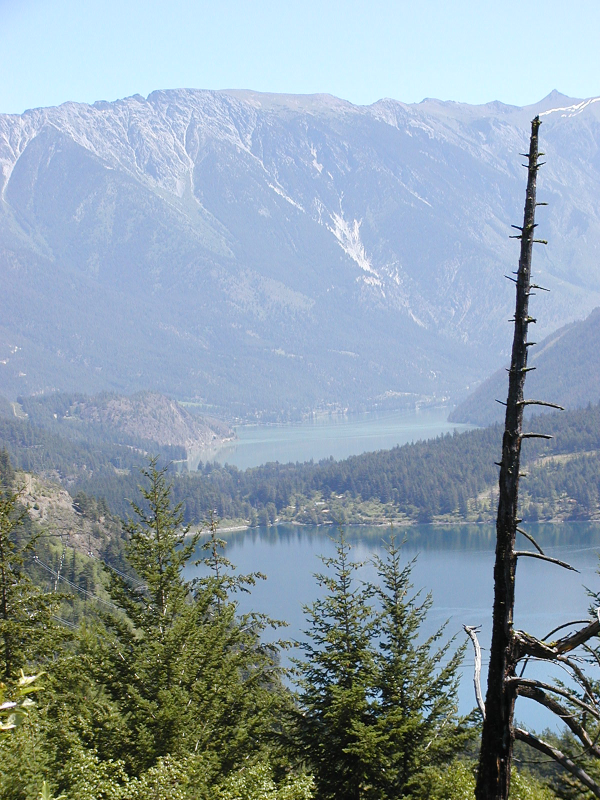
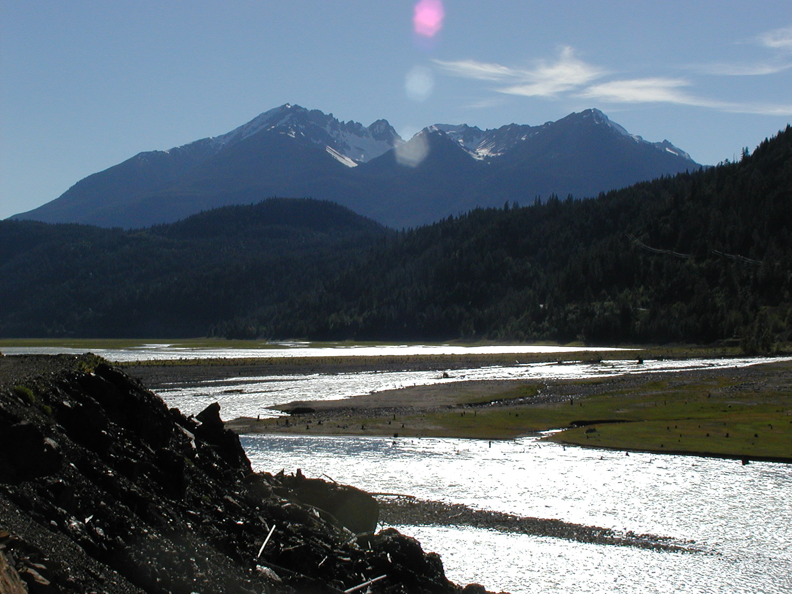
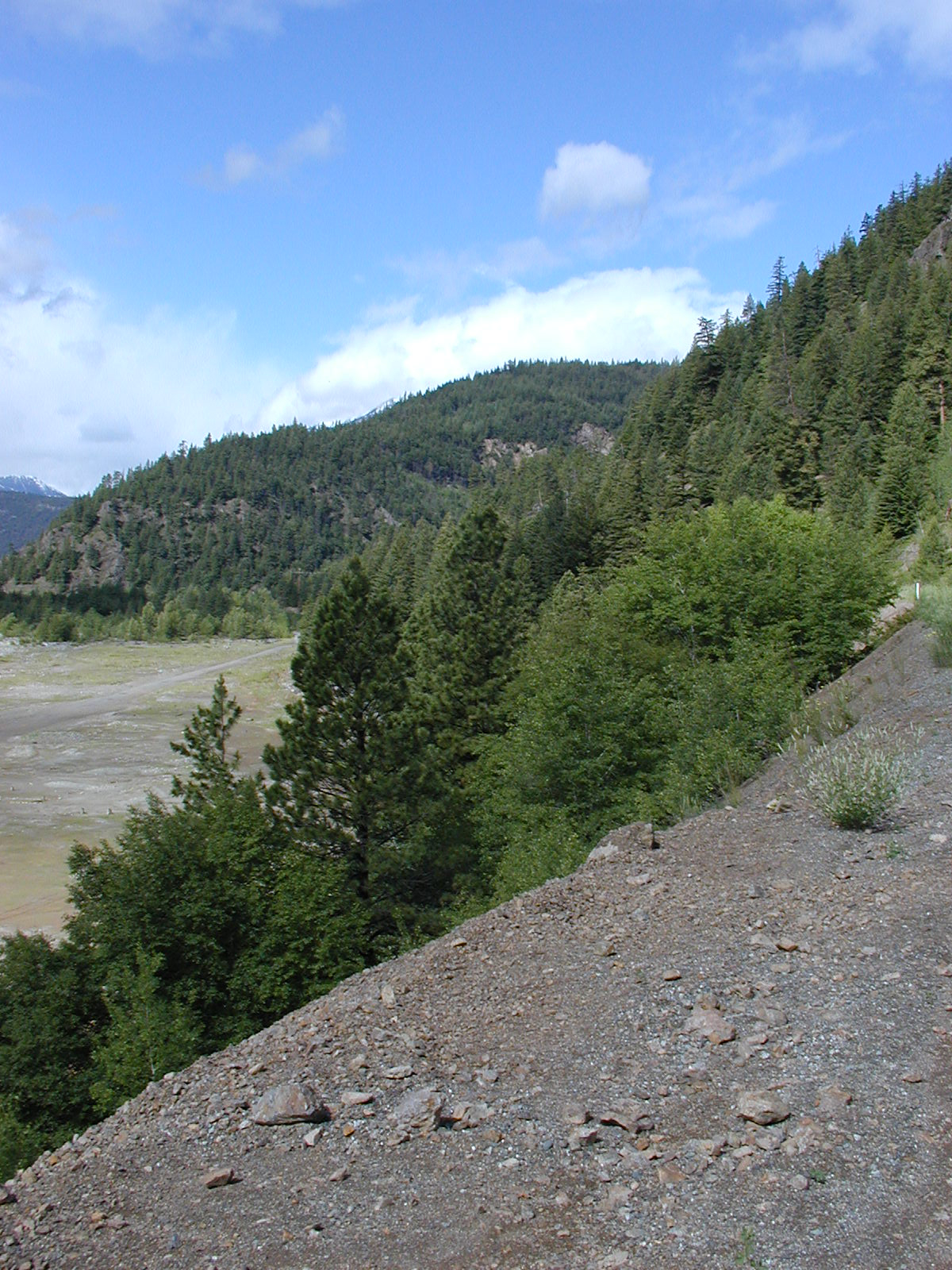
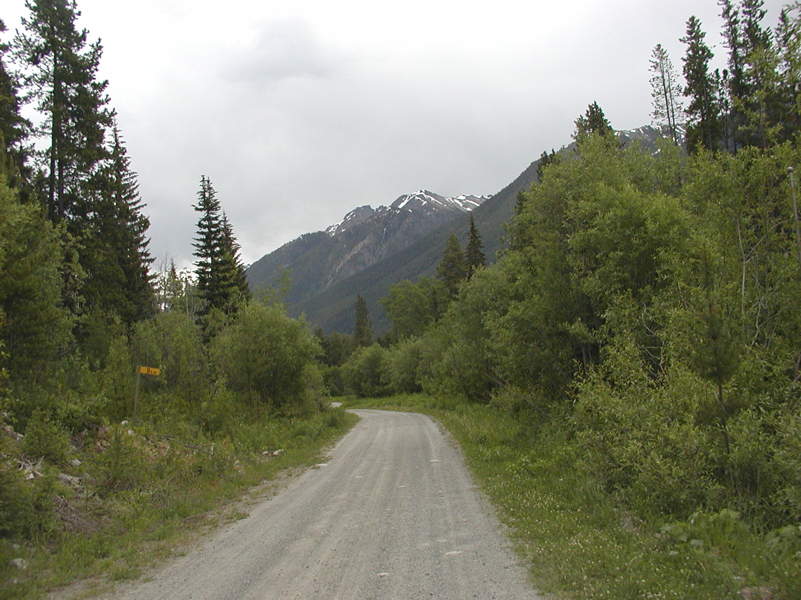
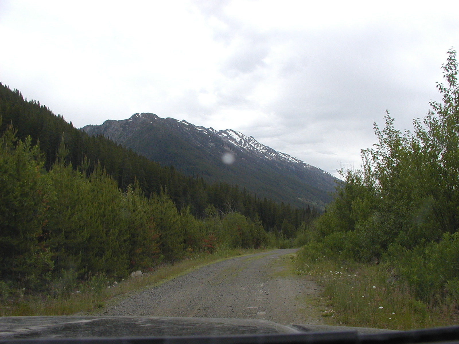
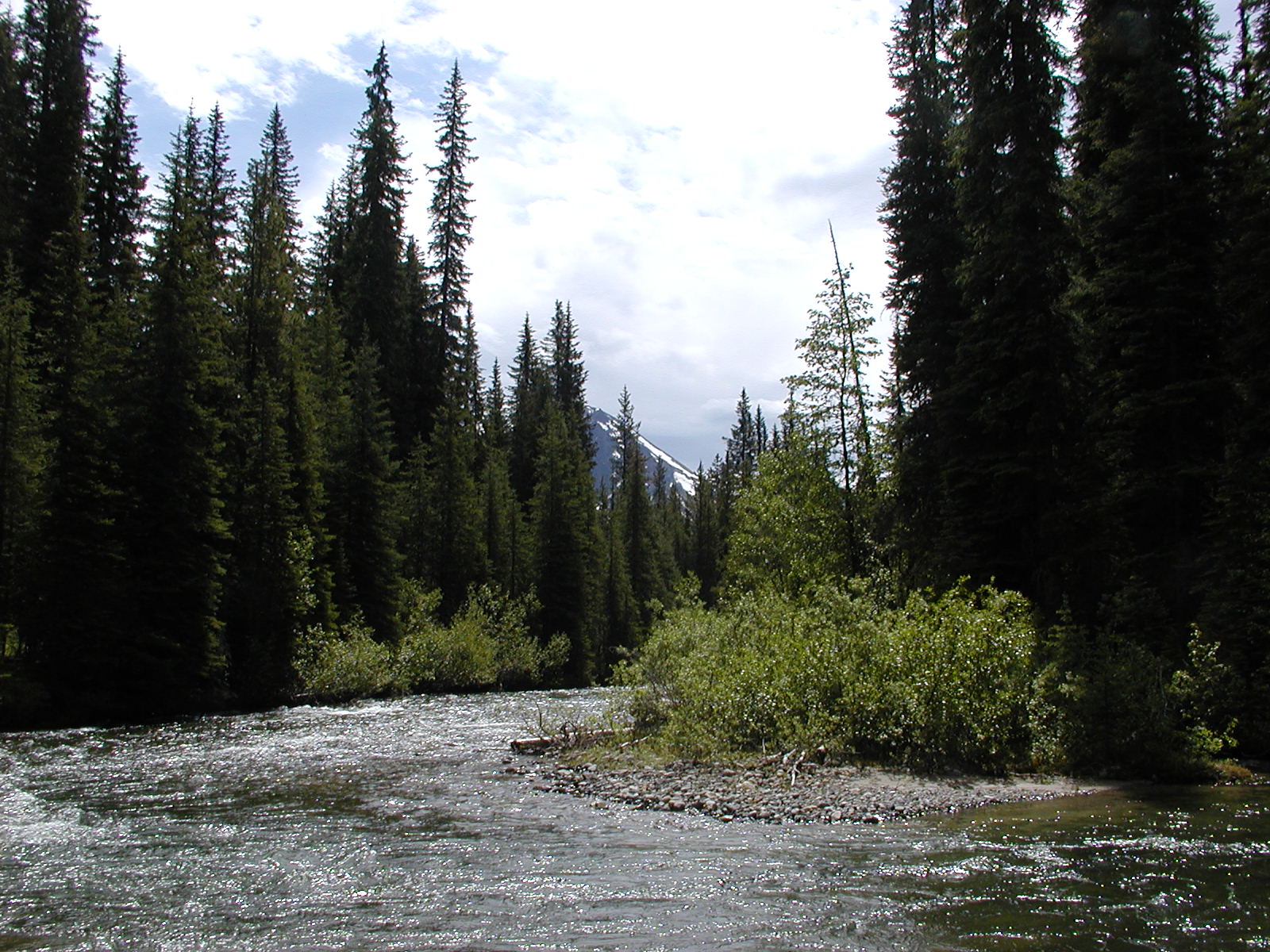
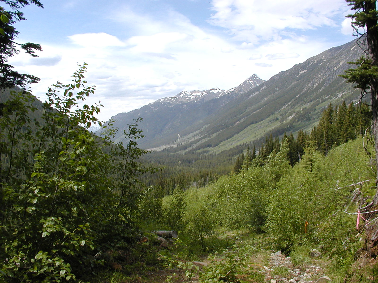
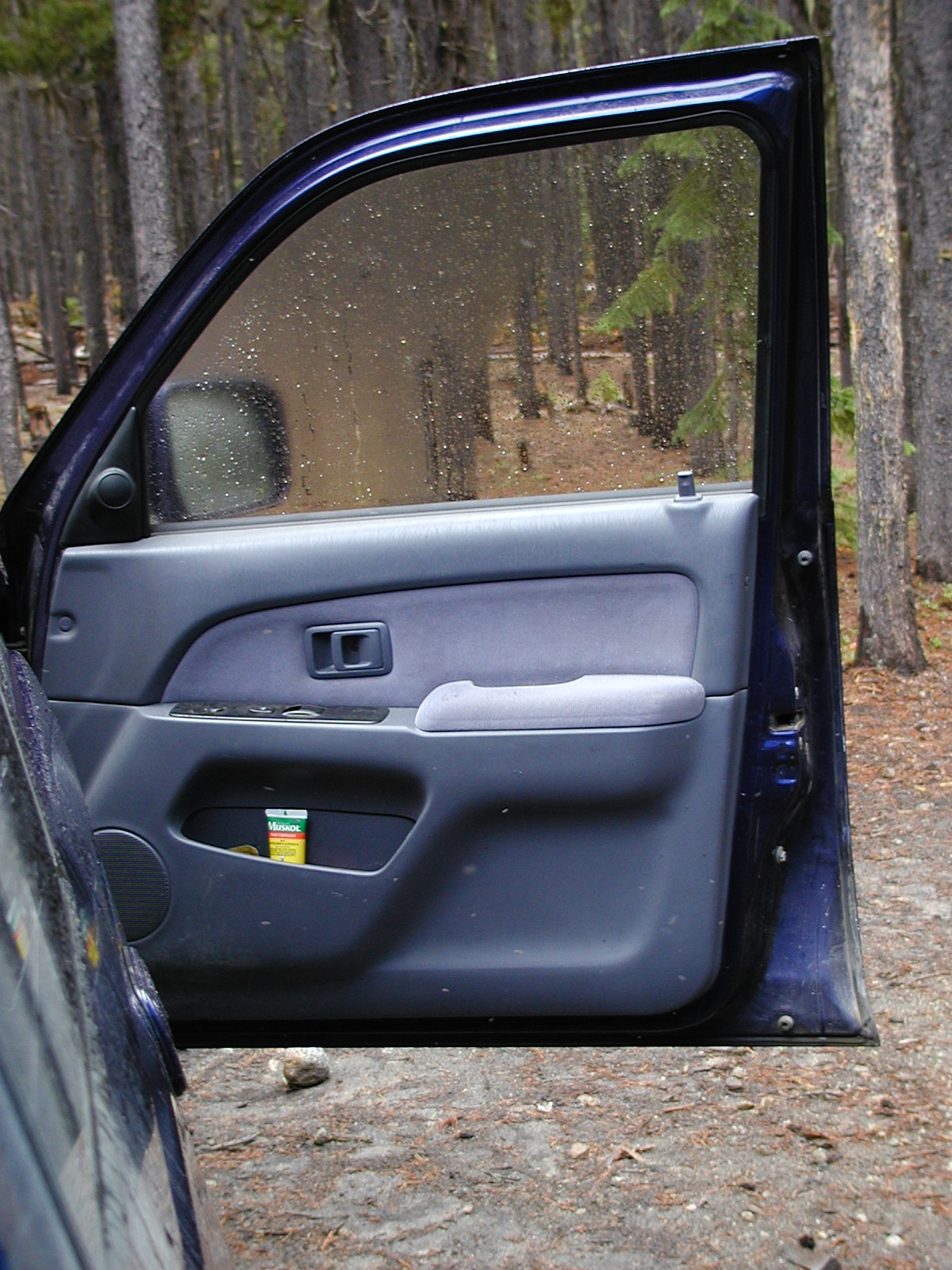
Traveled leisurely out the Sea to Sky Hwy 99 en route to McGillvray Creek outside D'Arcy. Lots of blasting being done thru the Cheakamus canyon winding roadway. Pemberton now boasts 2 gas stations across from each other and a mini McDonald's! Thru Mt. Currie past the turnoff to Duffy Lake and onwards to Owl Creek FSR Site. We marked the entrance to the alternate Owl Creek camp that we use with orange tape with black polka dots. Down the Pemberton Valley eventually into D'Arcy to find the Haylmore Creek FSR rd. We spotted another good Rec Site camp called Spetch Creek (along the stretch of road by the river). D'Arcy now has a general store and gas station in the downtown core.
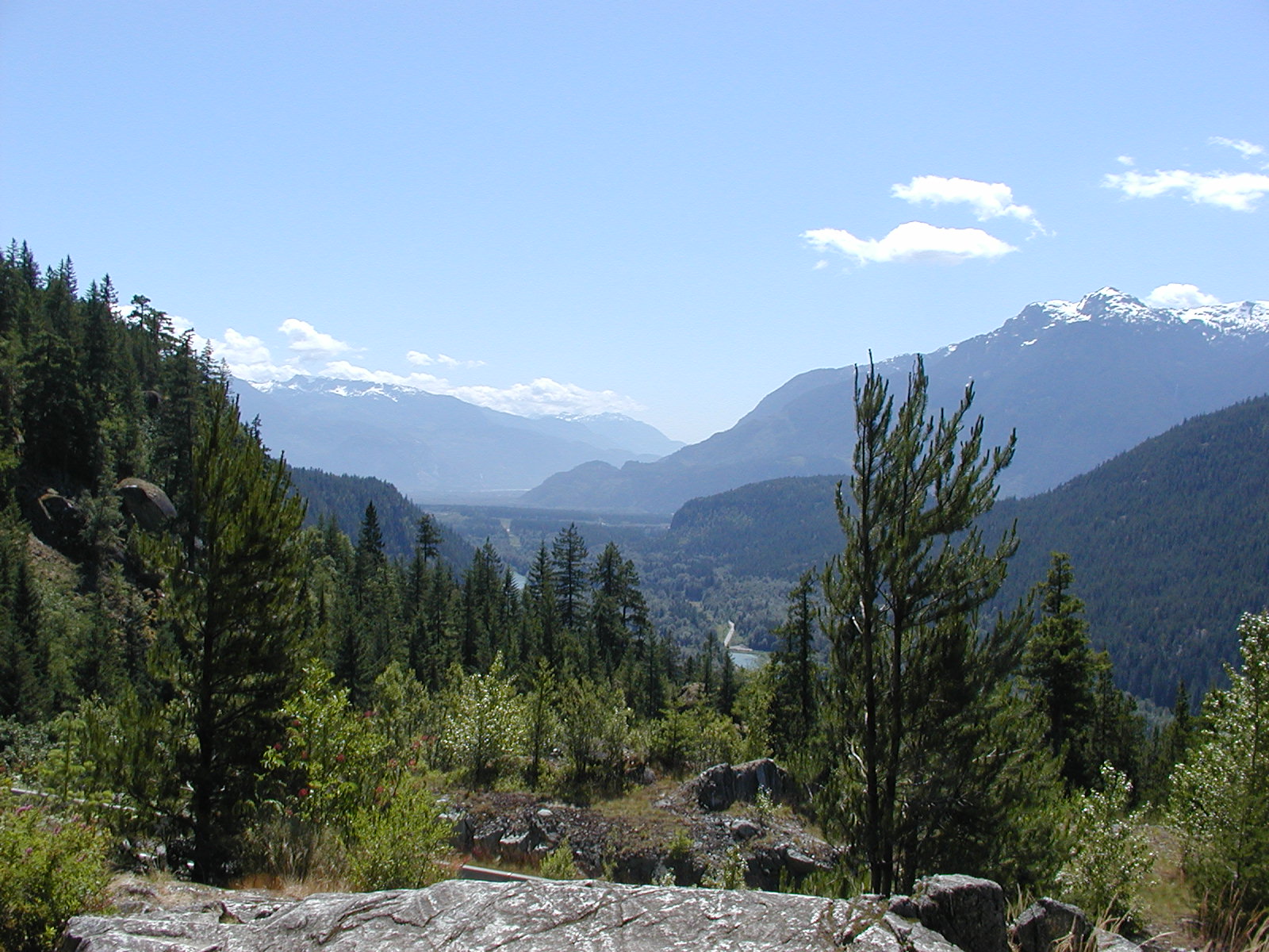

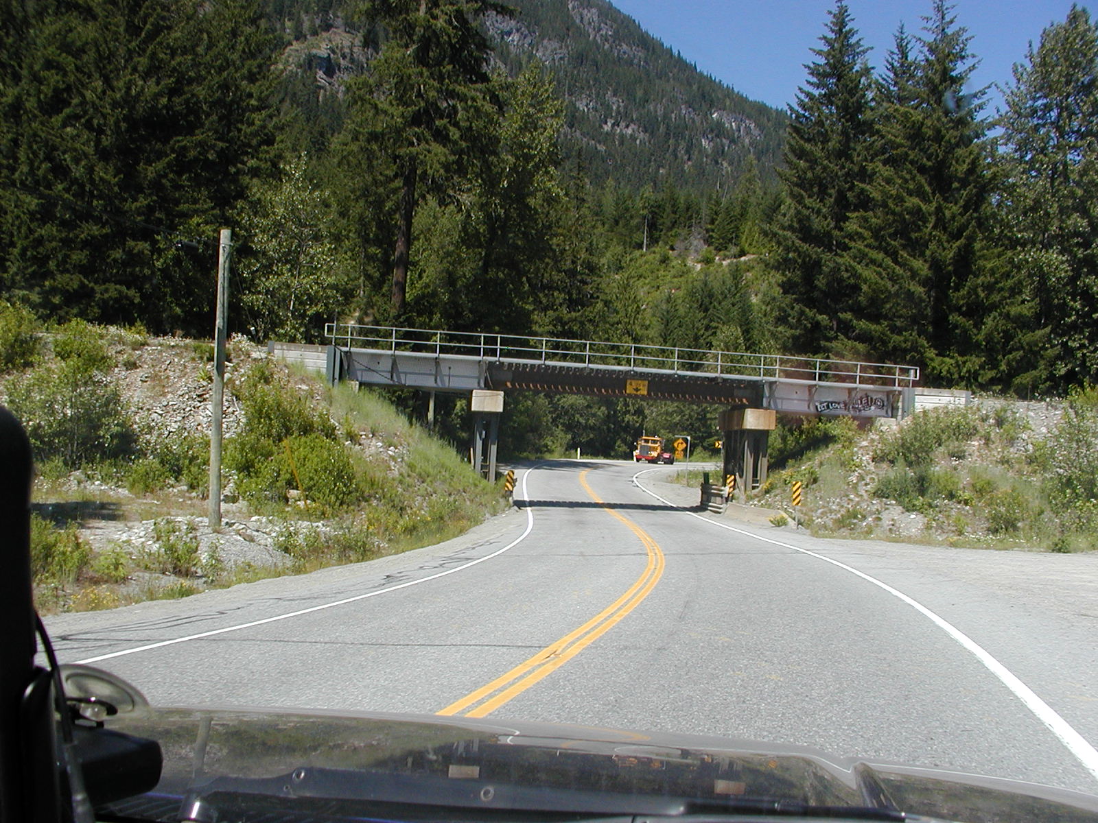
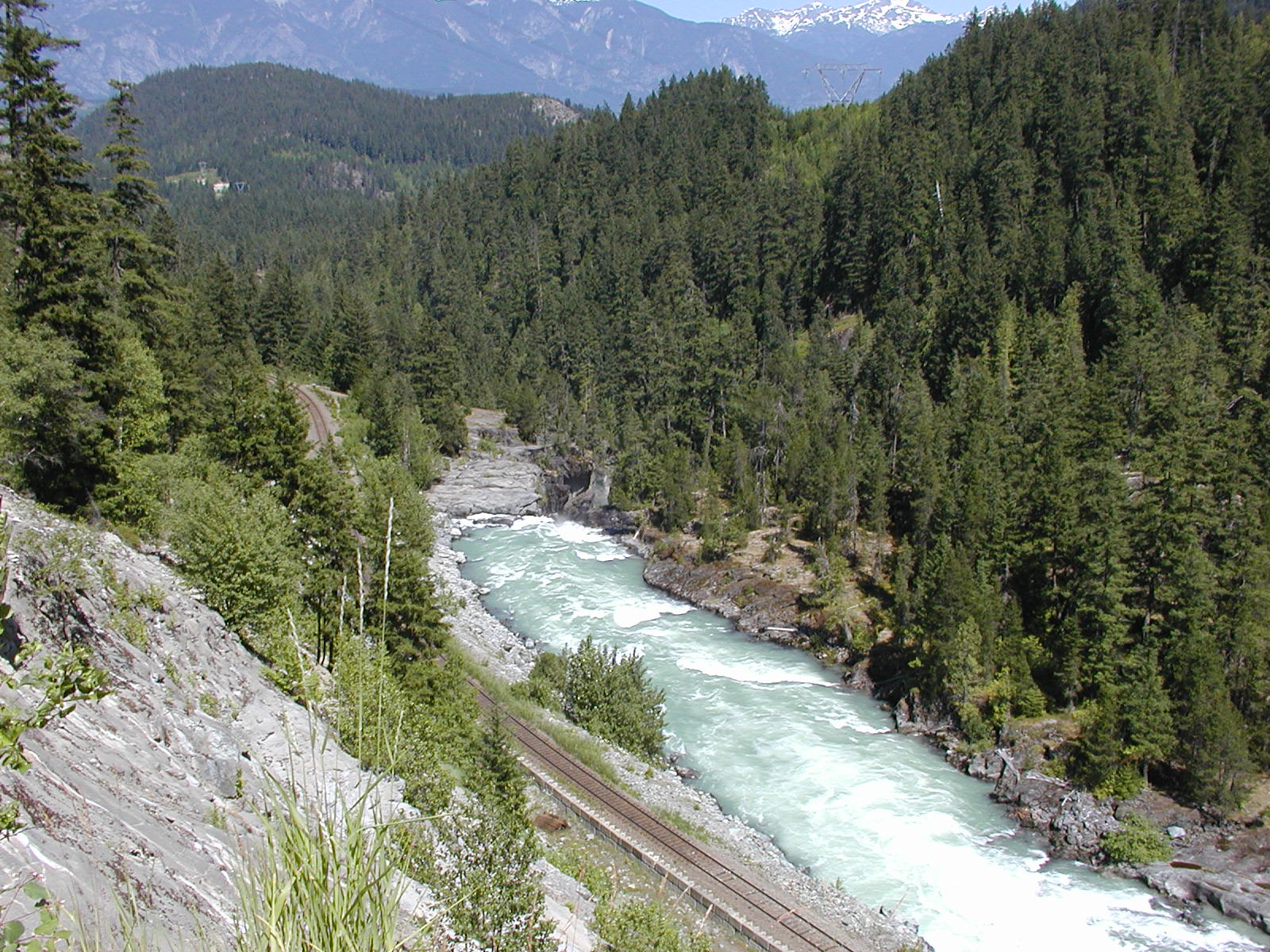
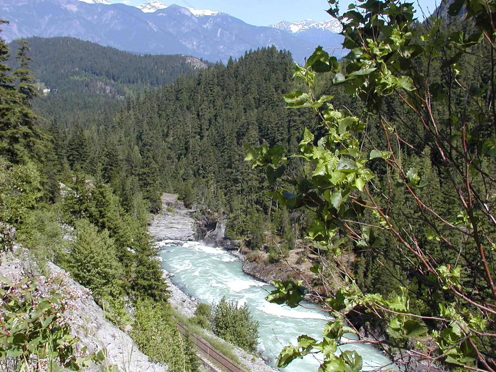
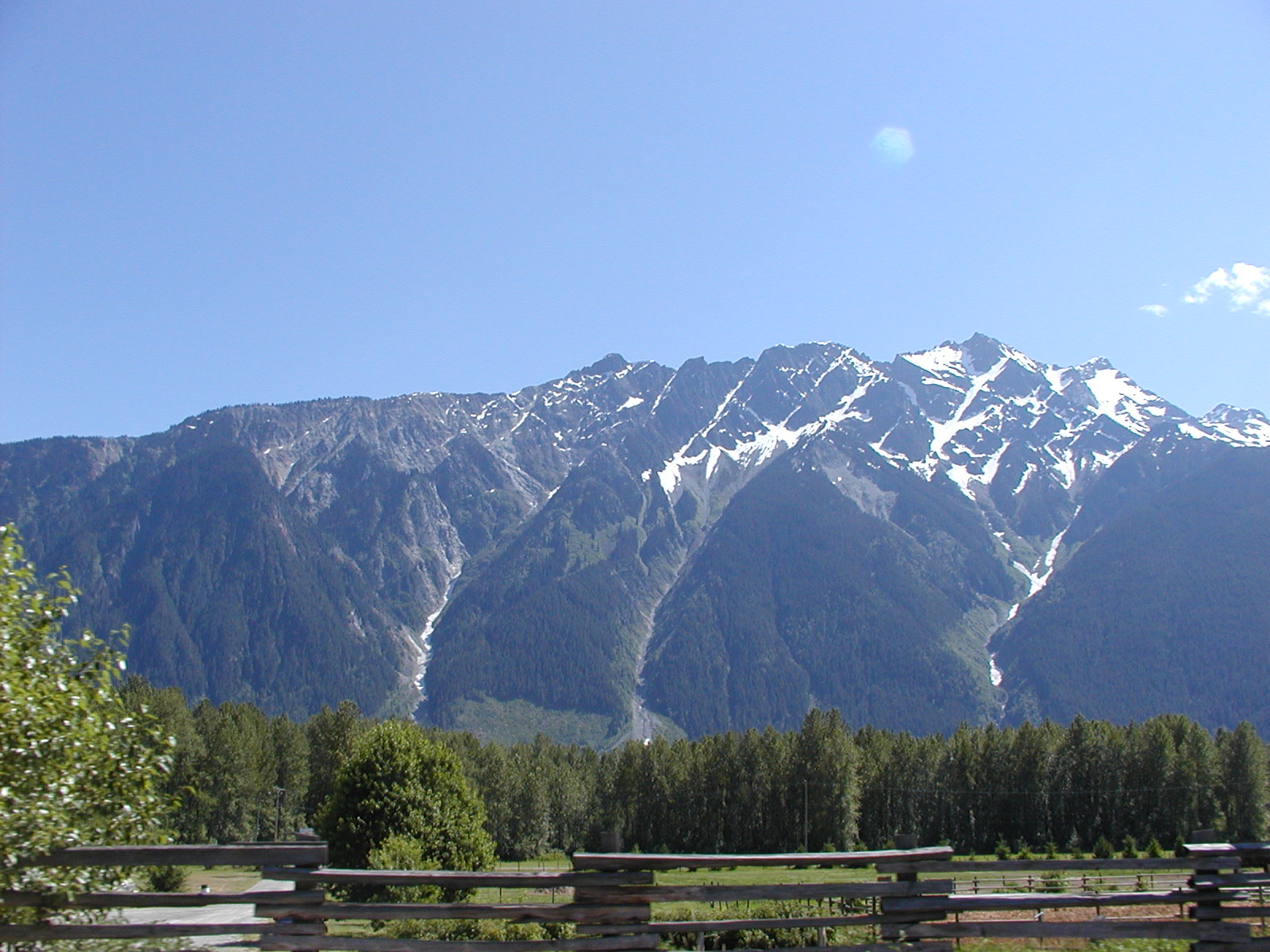
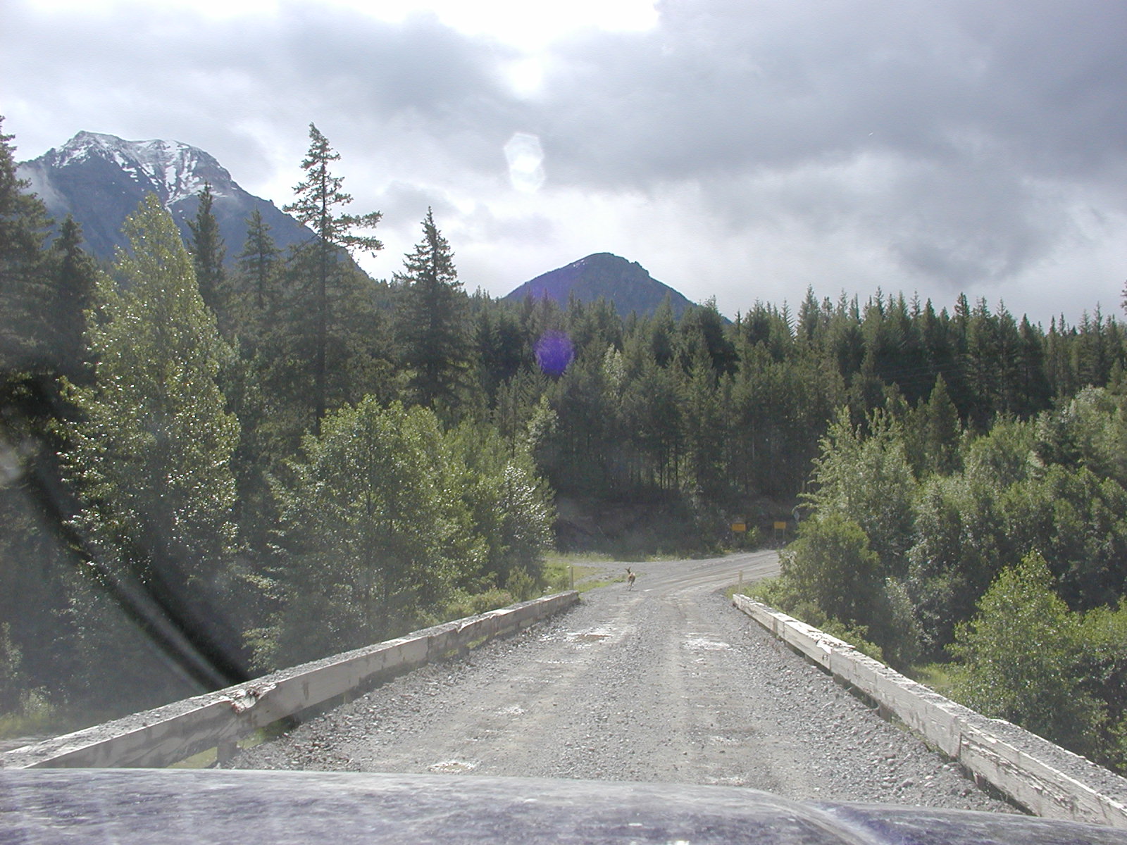
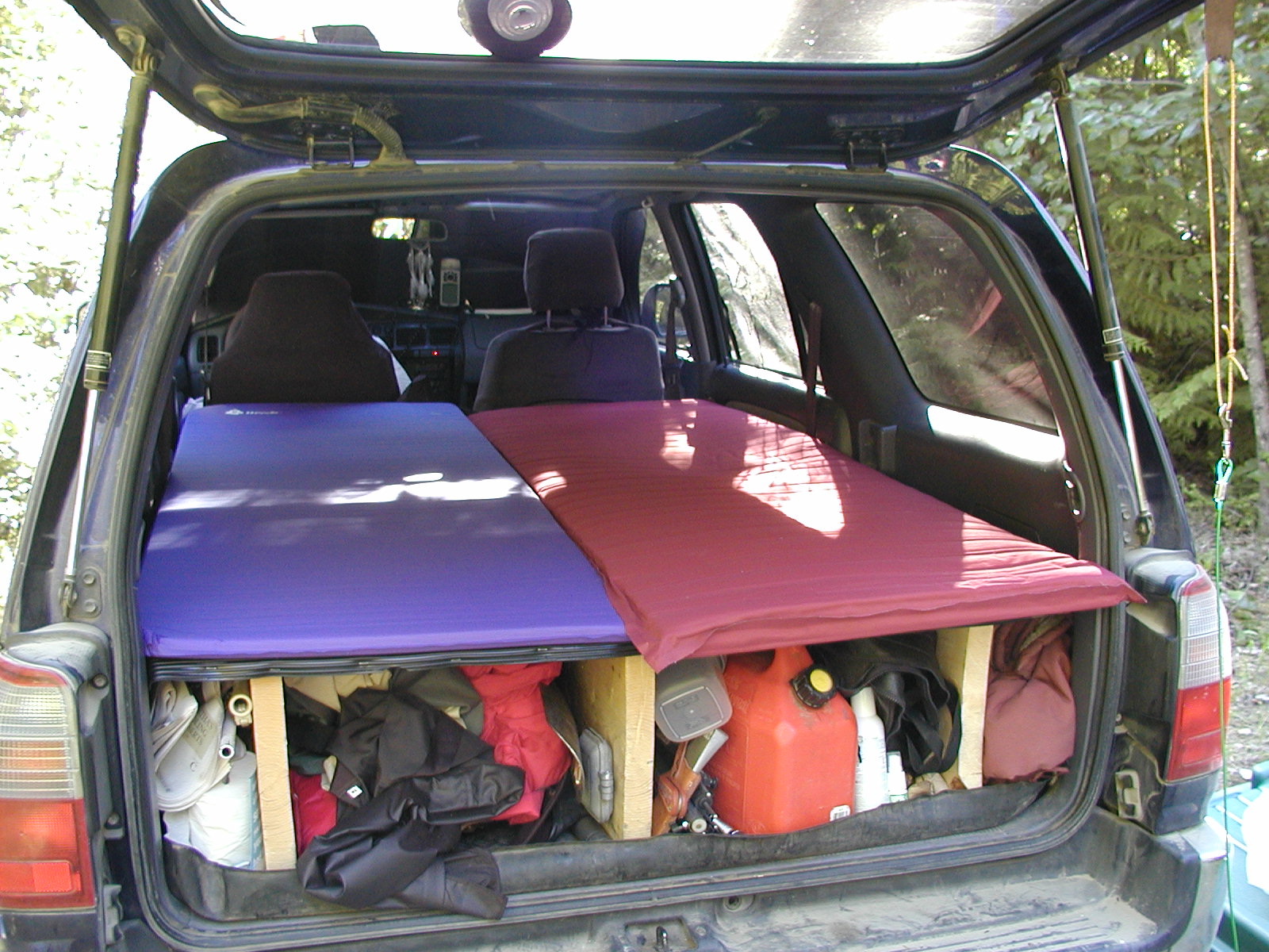
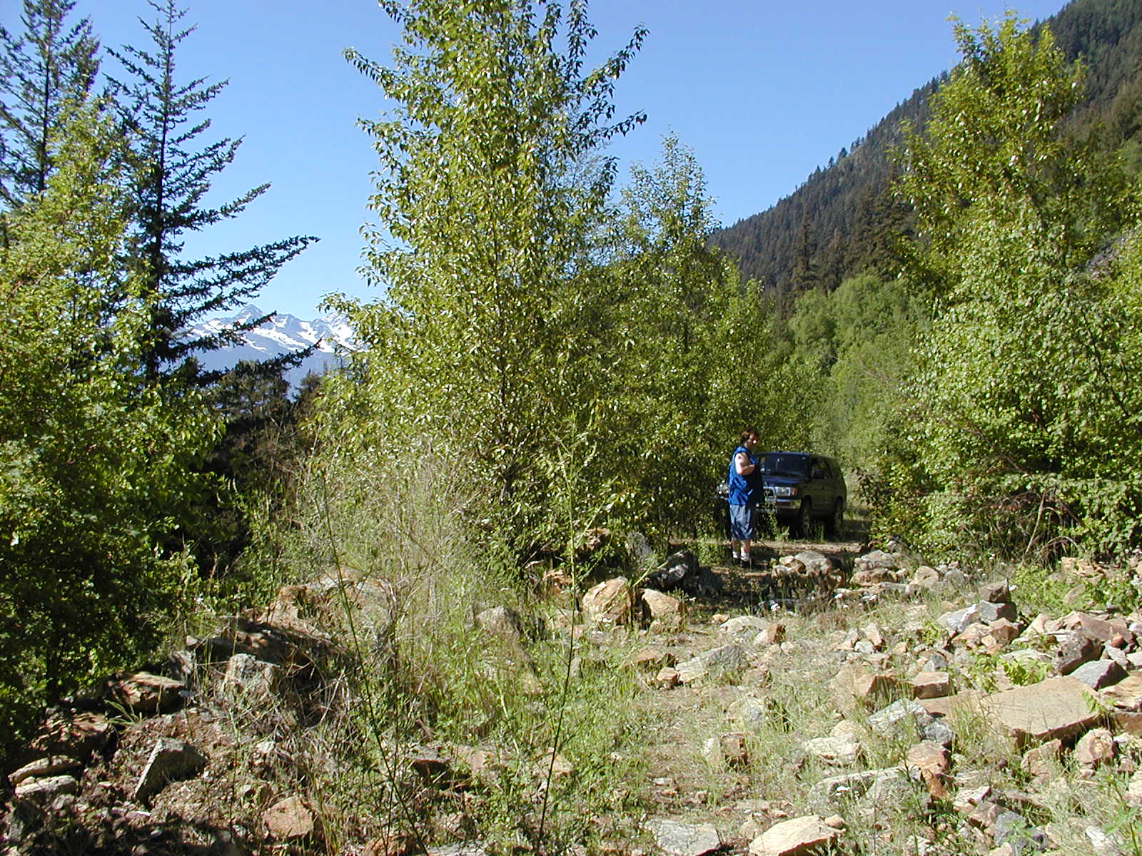
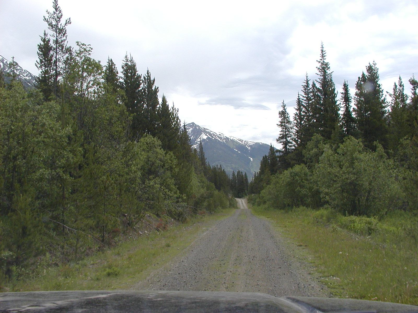
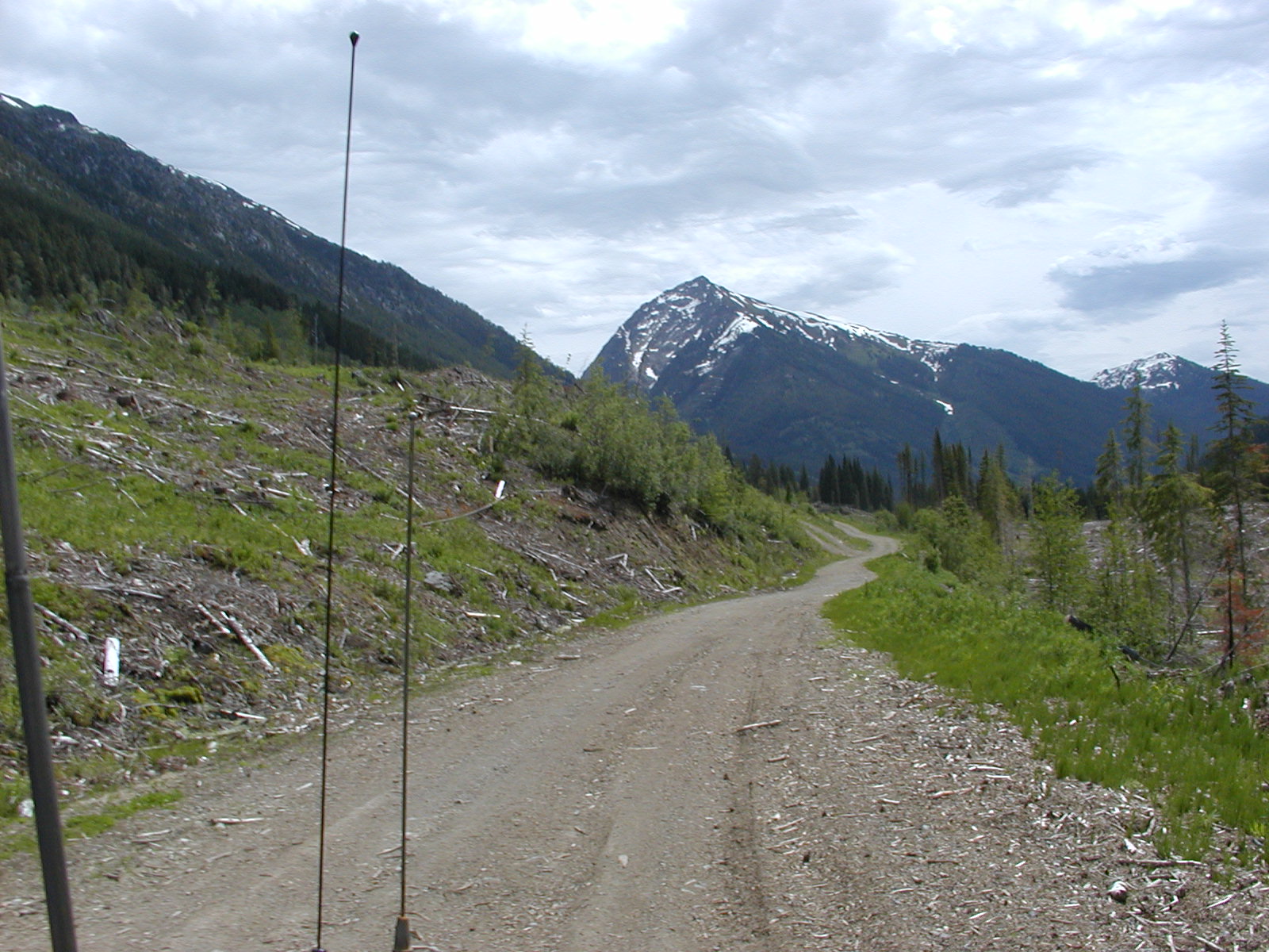
The entrance to Birkenhead River FSR (aka Old Portage Road) is at 50.27.00 // 122.41.13 - no frequency listed for the logging operations. This road does not allow vehicle access to Birkenhead Lake. The Birkenhead Lake Park turnoff is at 50.30 // 122.31 (17 kms to the lake camp). The Haylmore Creek FSR access road is immediately past the Birkenhead Lake park road at 50.31.18 // 122.30.01 - taking that road and the left following you enter Haylmore Creek FSR freq. 158.550 We didn't travel far up Haylmore before turning around and heading back into D'Arcy to take the highline Old Douglas Road. Bradley aired down the tires of the truck to 20 psi for a softer and more responsive ride.
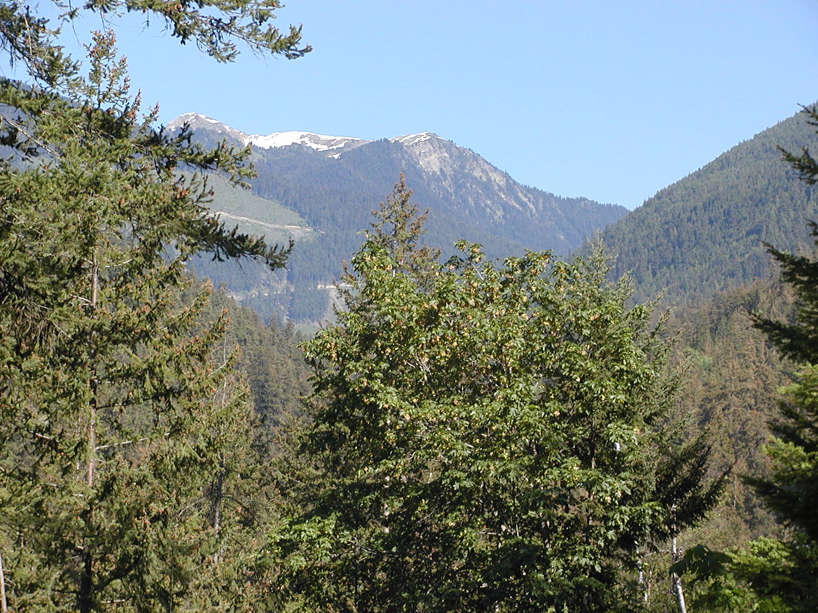

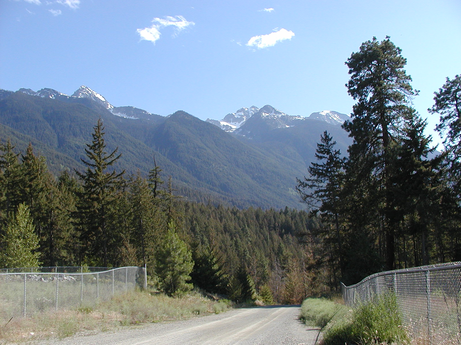
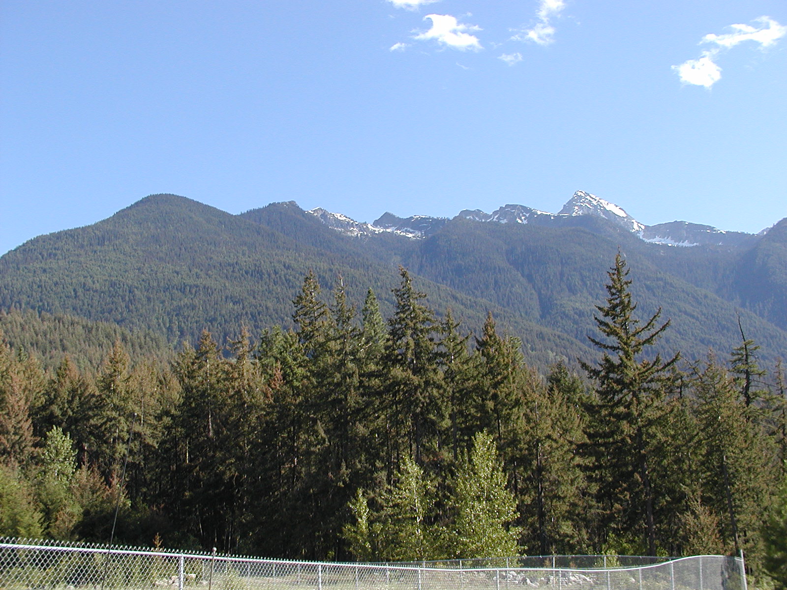
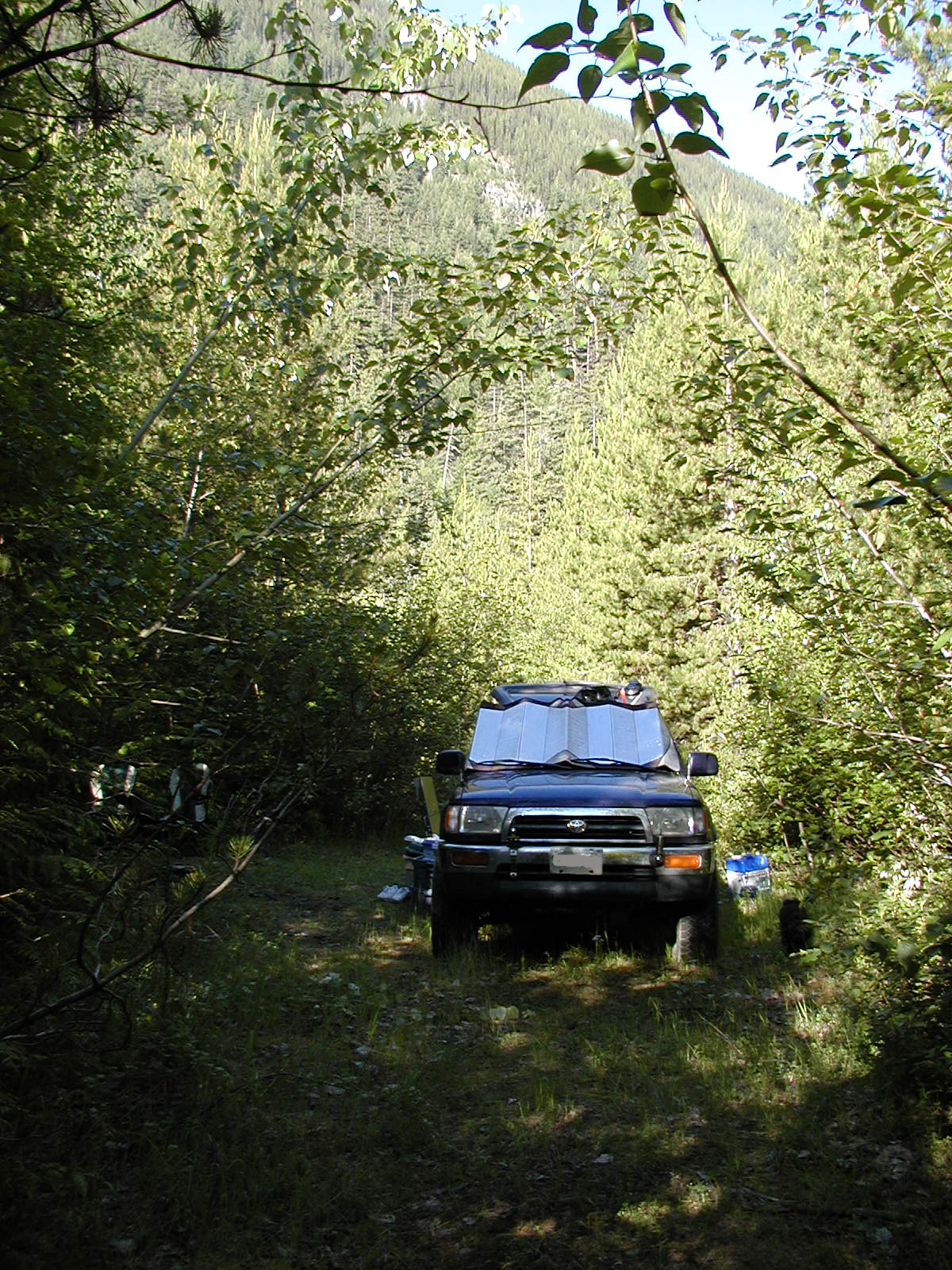
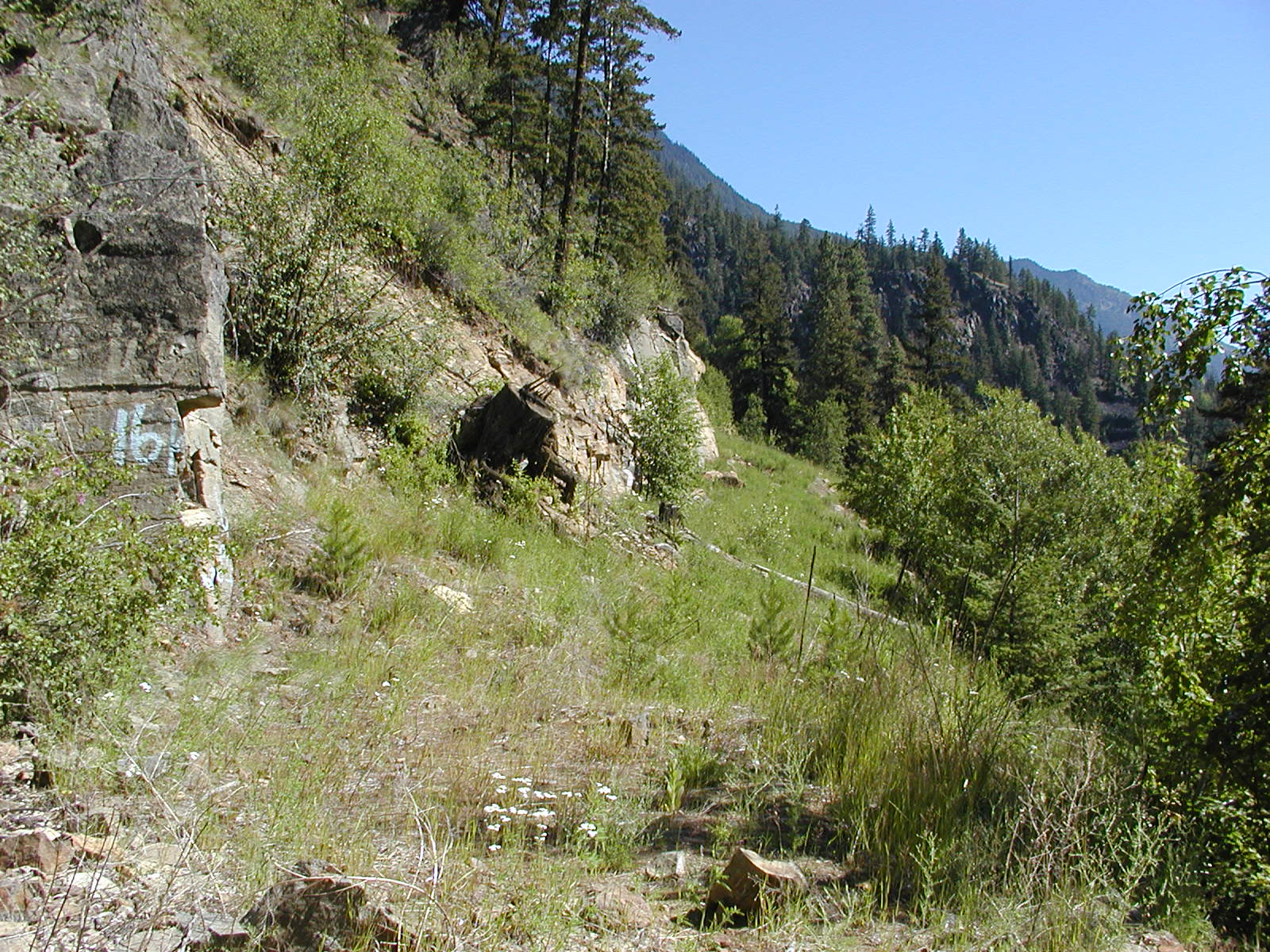
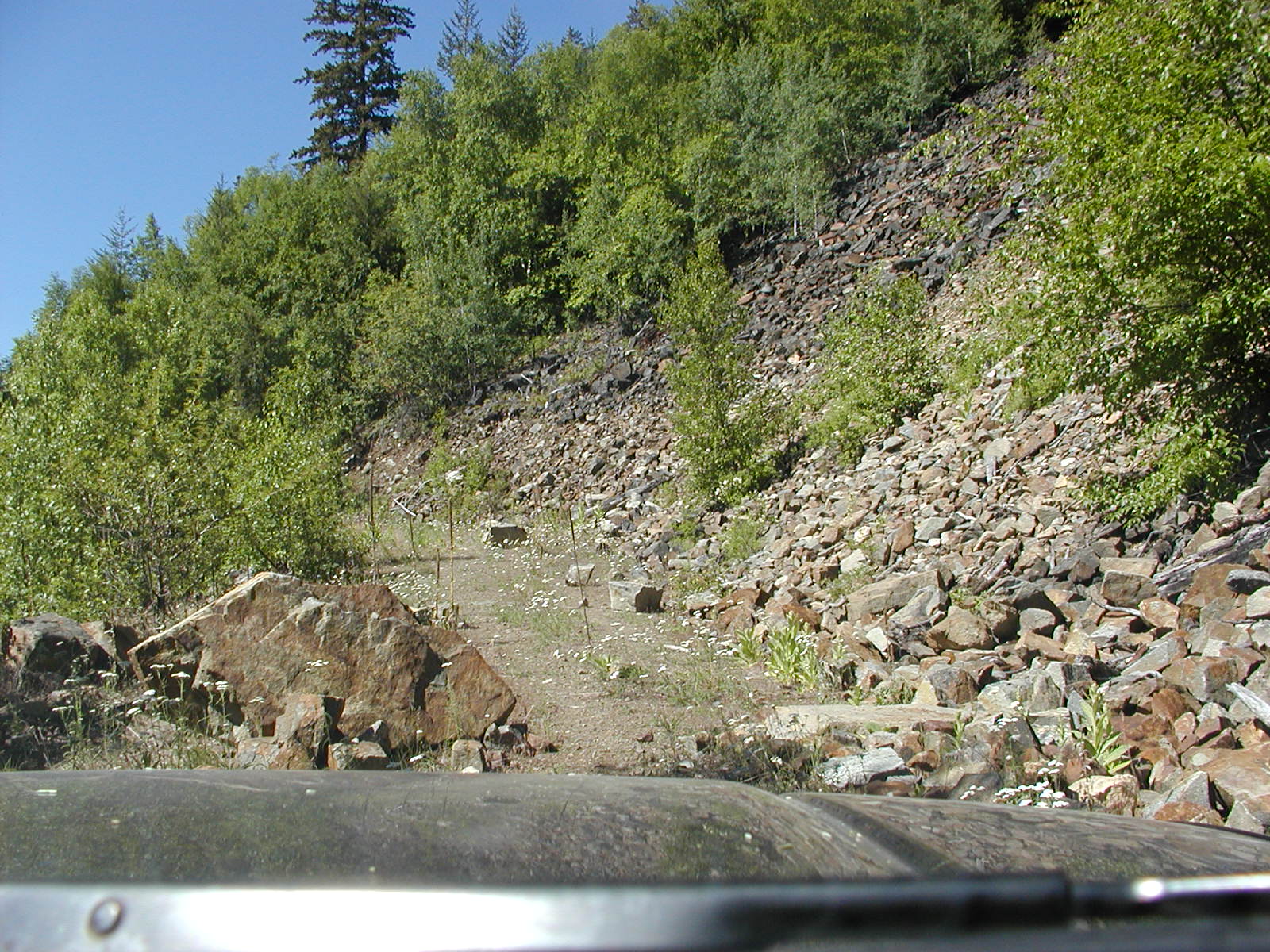
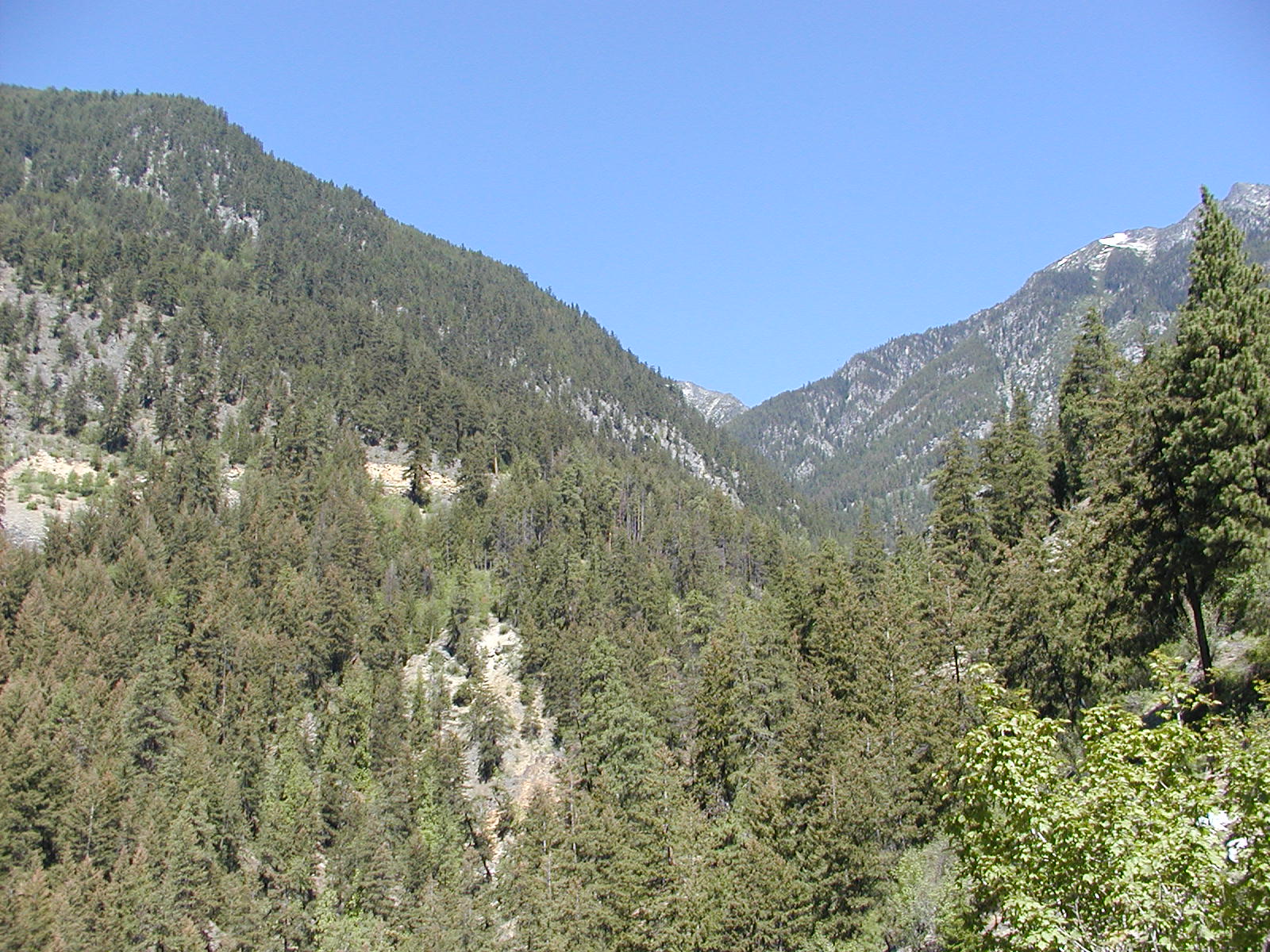
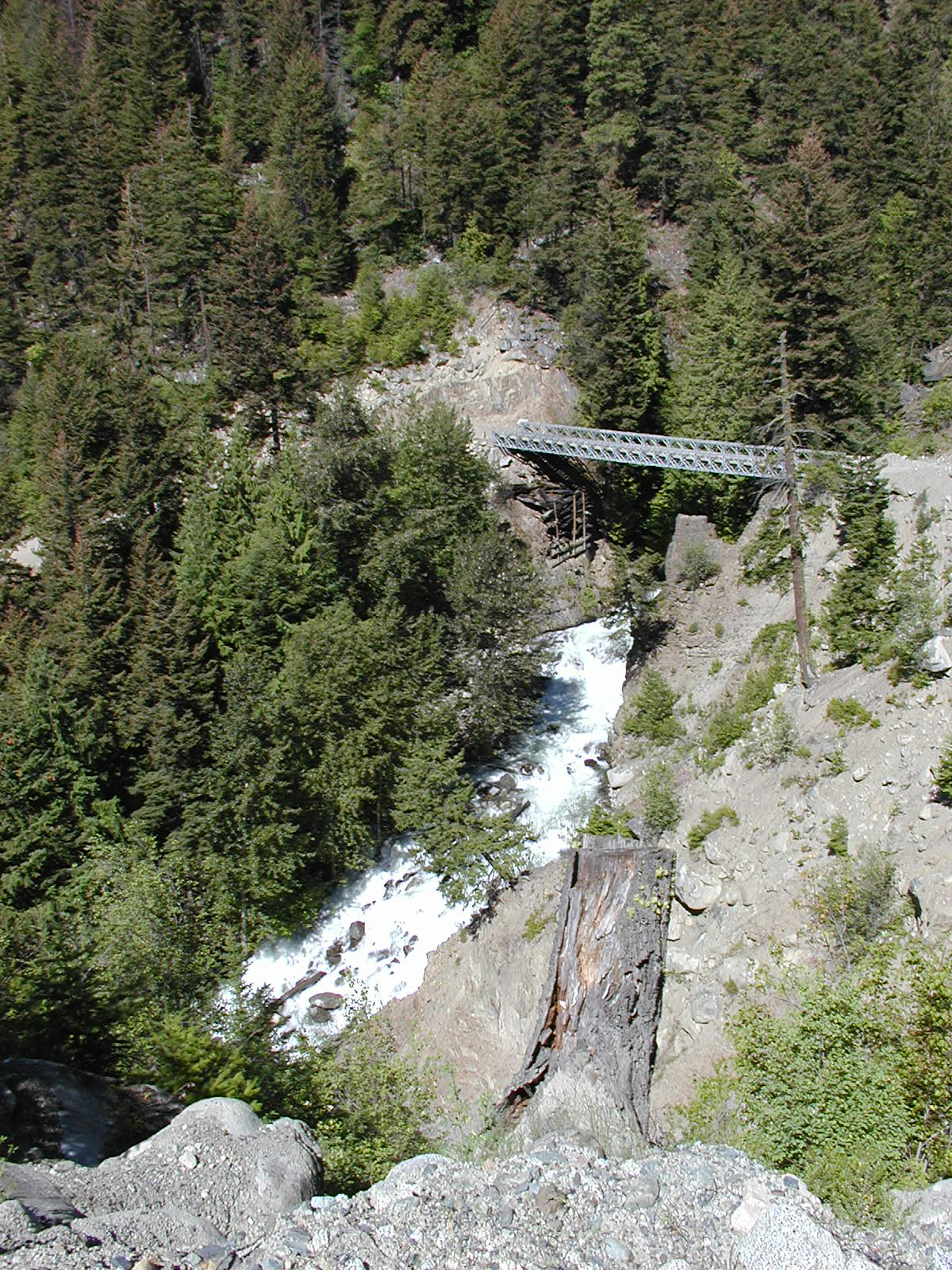
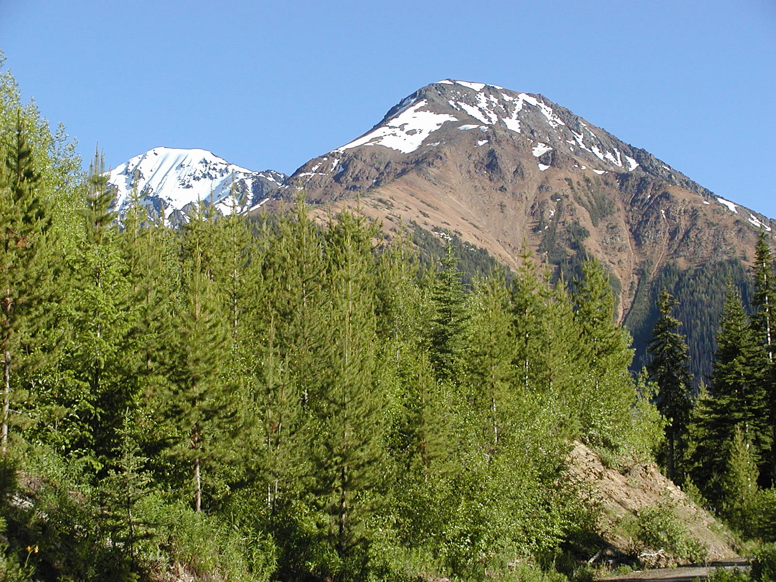
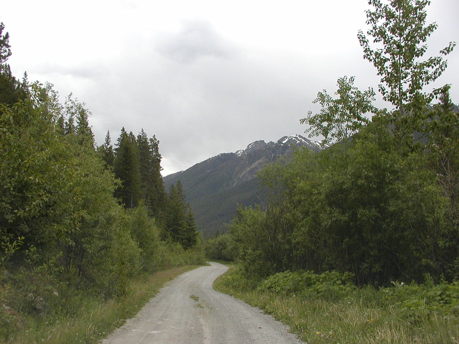
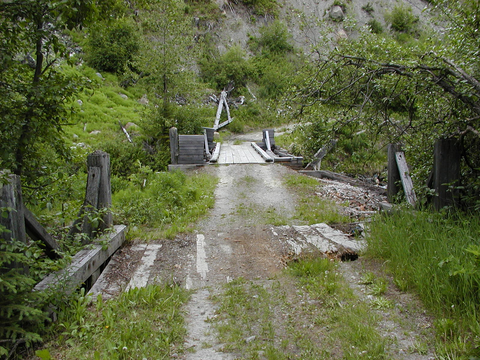
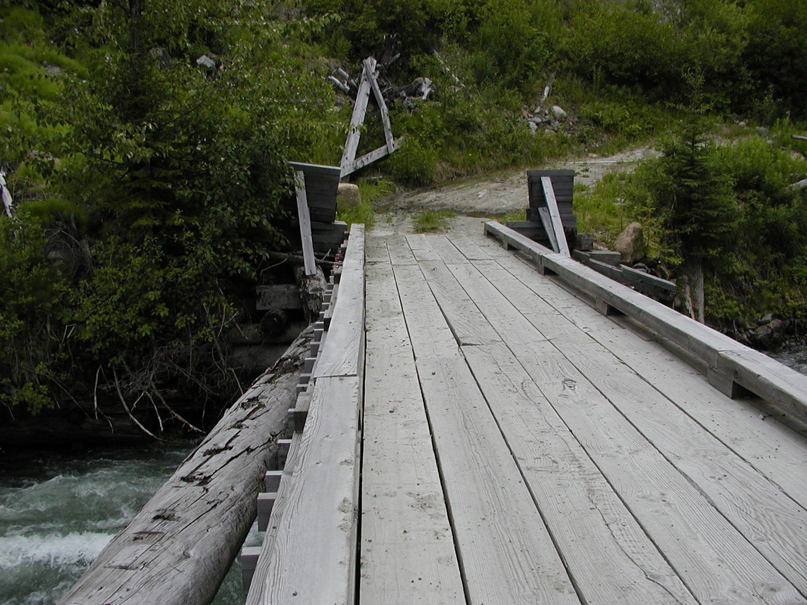
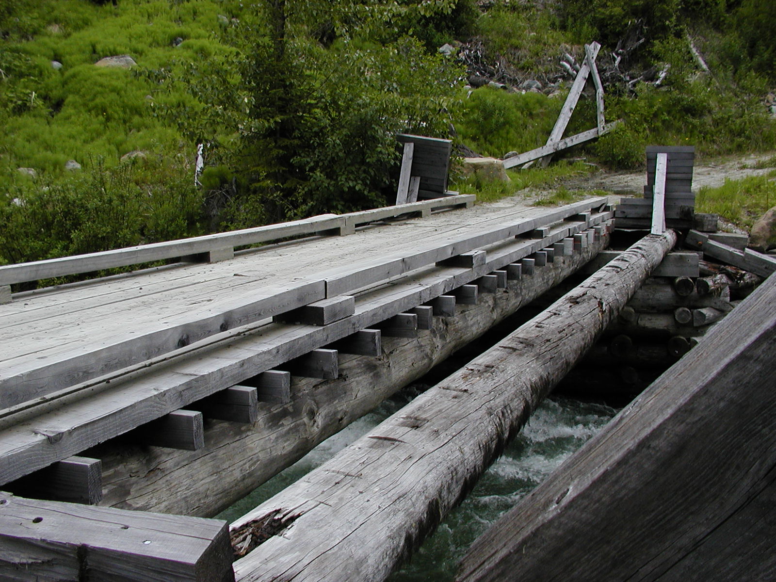
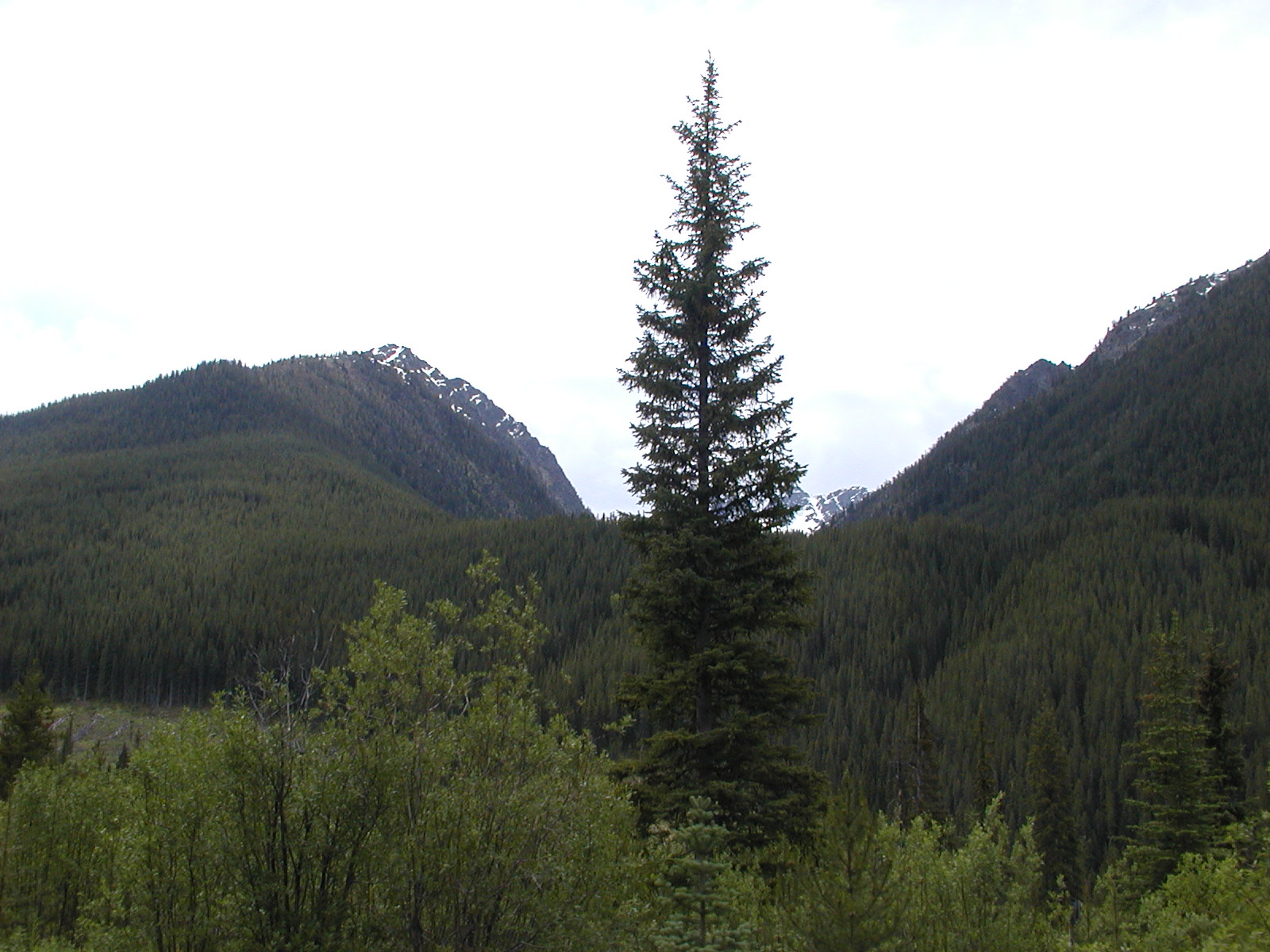
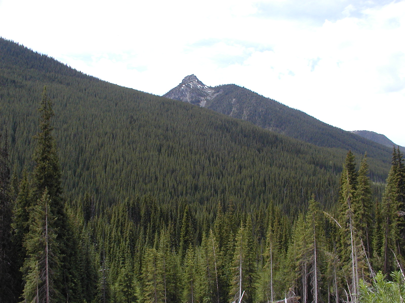
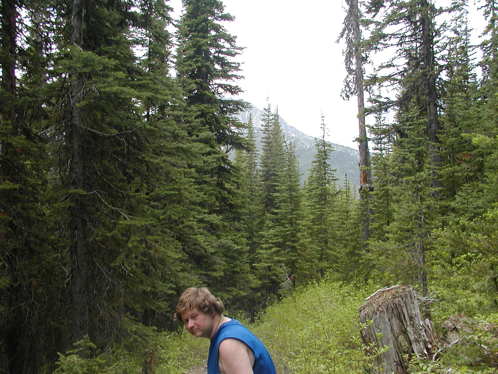
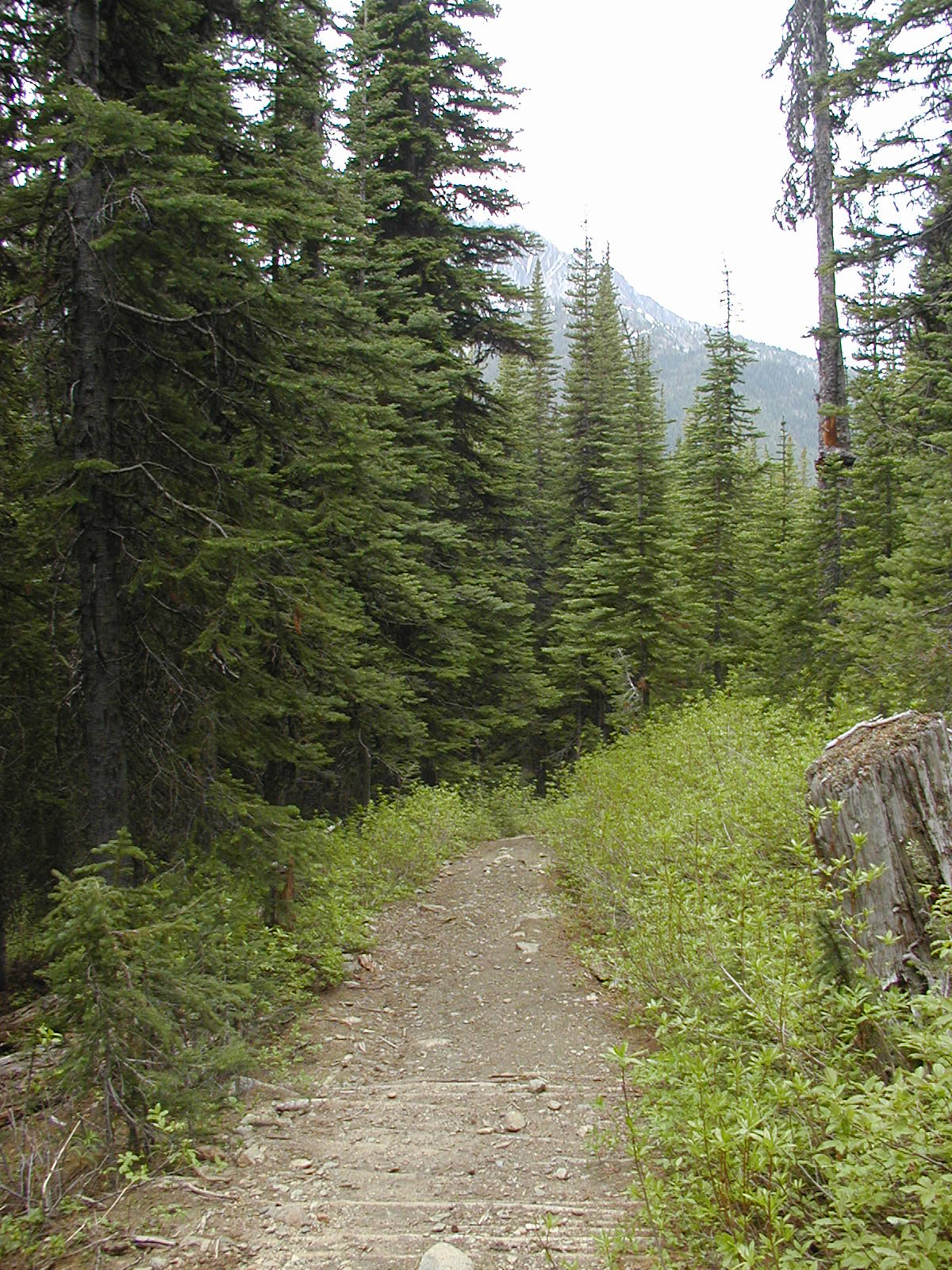
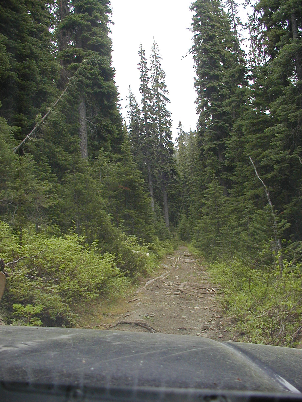
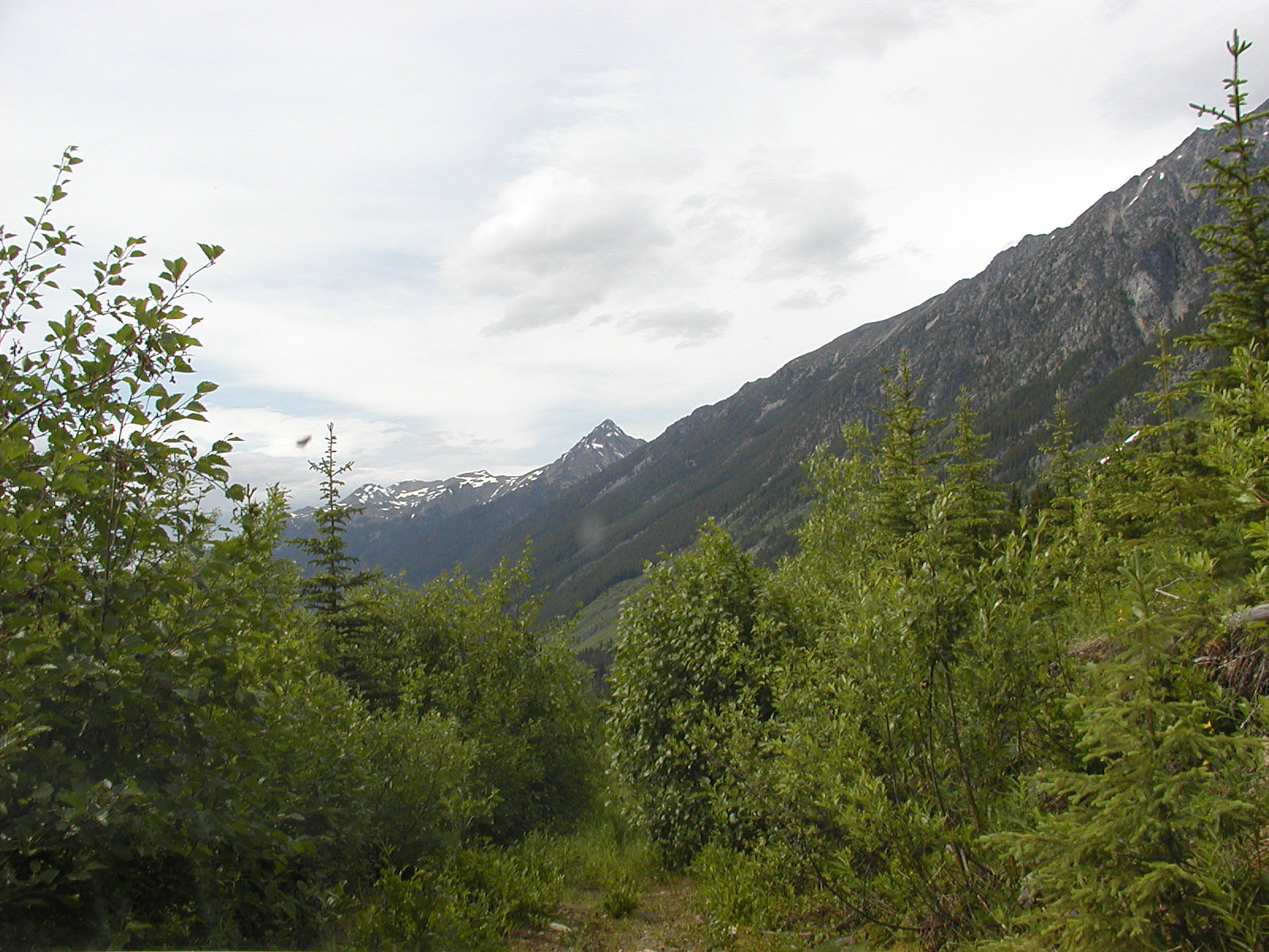
The Douglas Rd/Trail starts at 238m and climbs to 585m in less than a km. The road cuts thru a jade skarn at 50.33.43 // 122.29.17. The newly replaced McGillvray Creek bridge and FSR entrance are at 50.37.36 // 122.27.33 We passed the old cabin site (possibly the old Brett mine/settlement) and camped further up the roadway for the night.


Day 2 Hide & Seek in the Hills
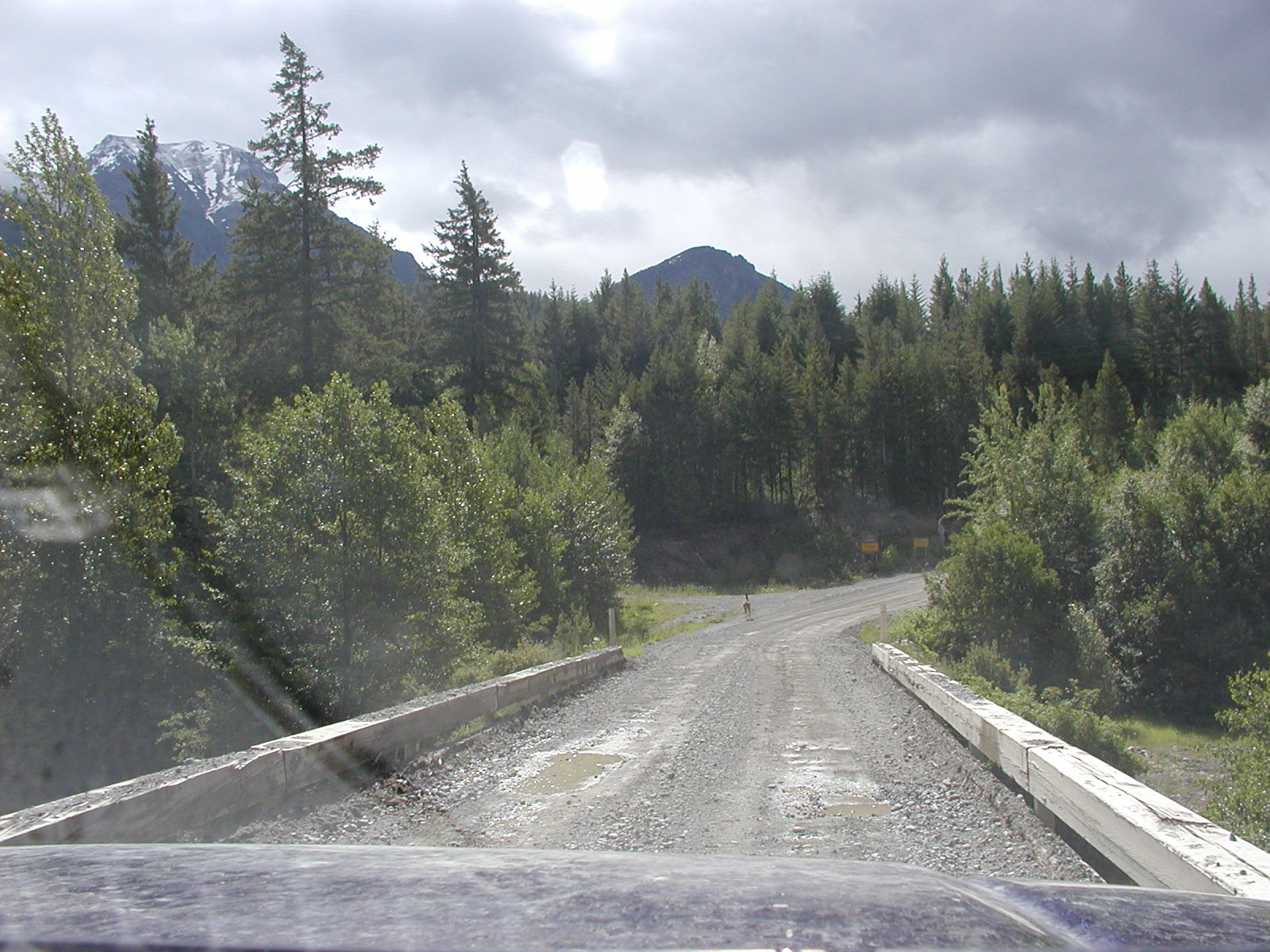
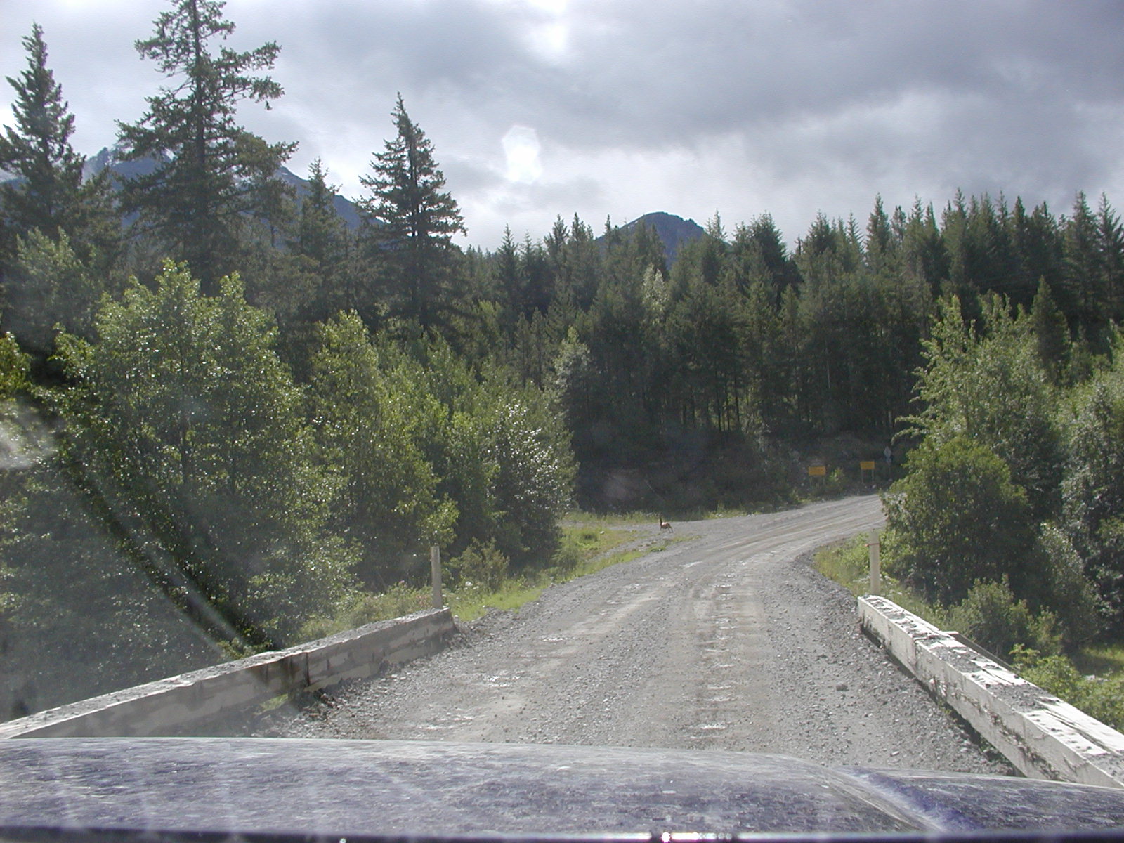
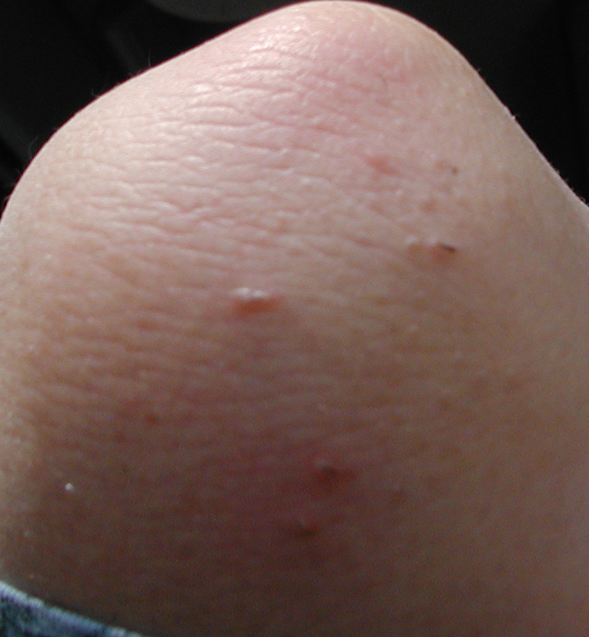
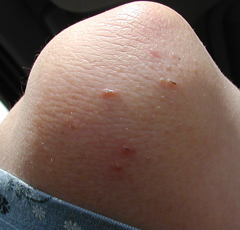
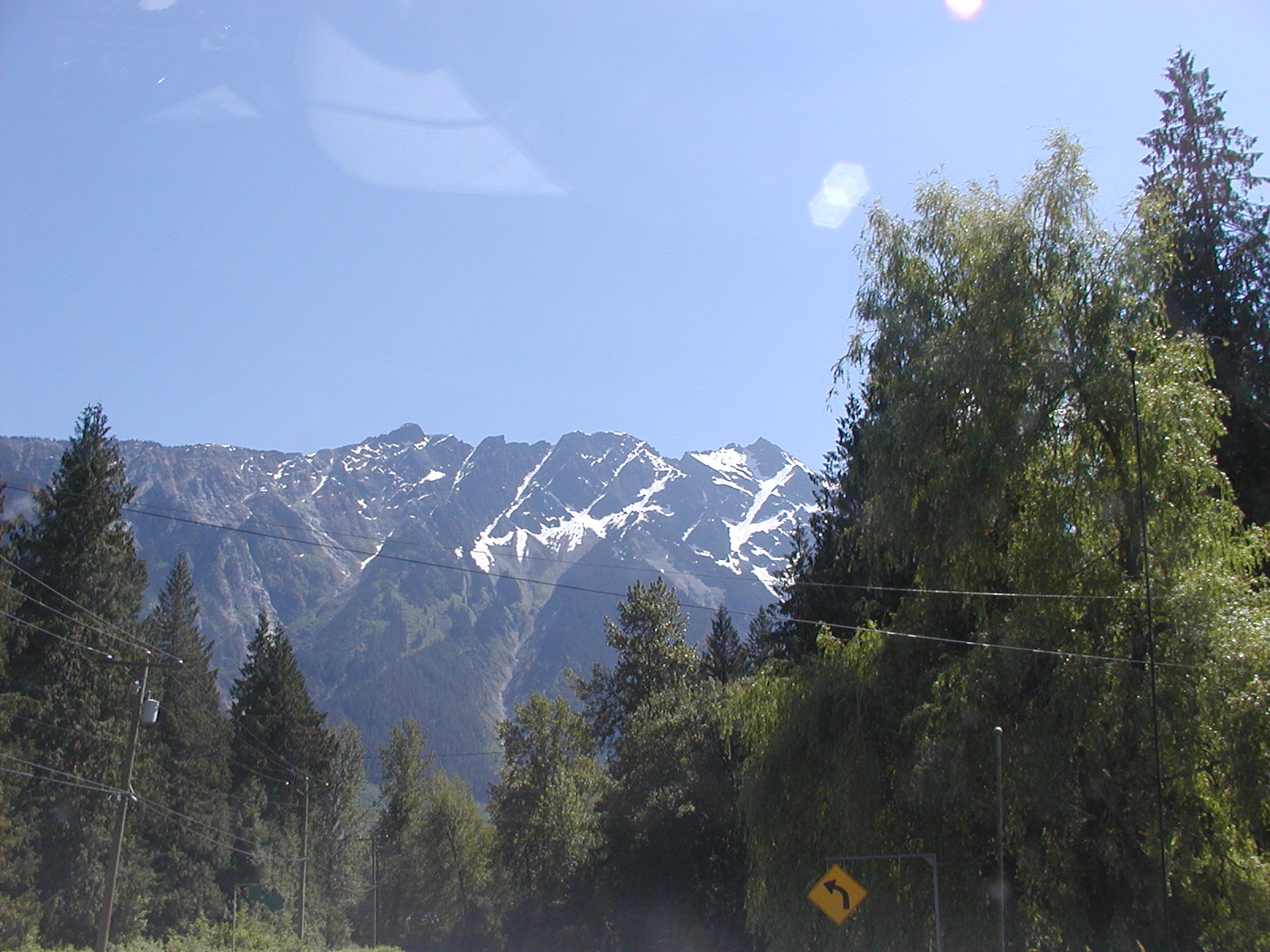
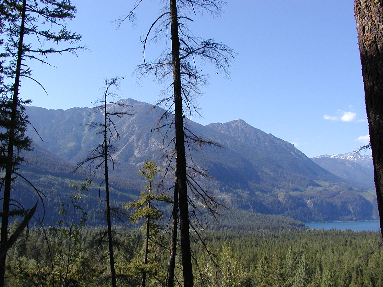
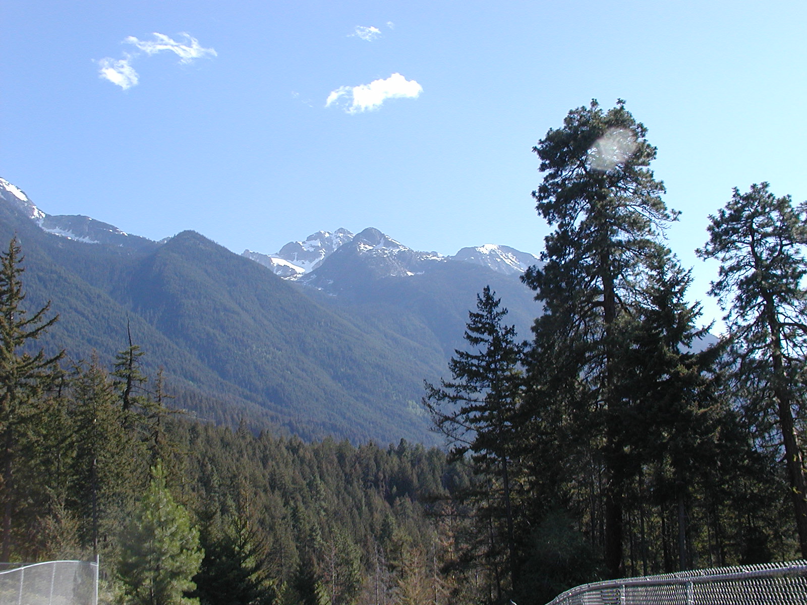
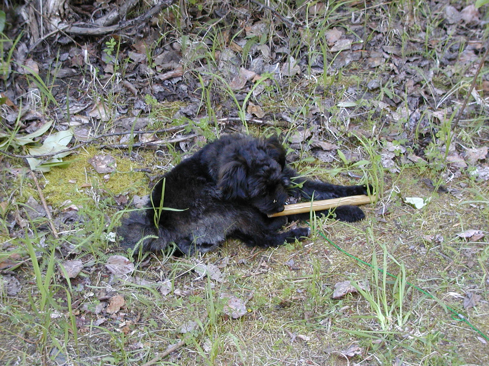
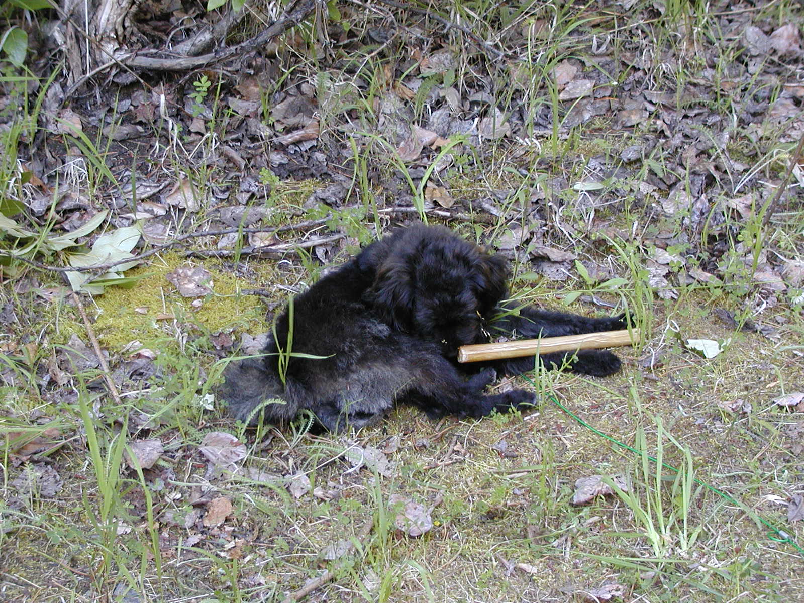
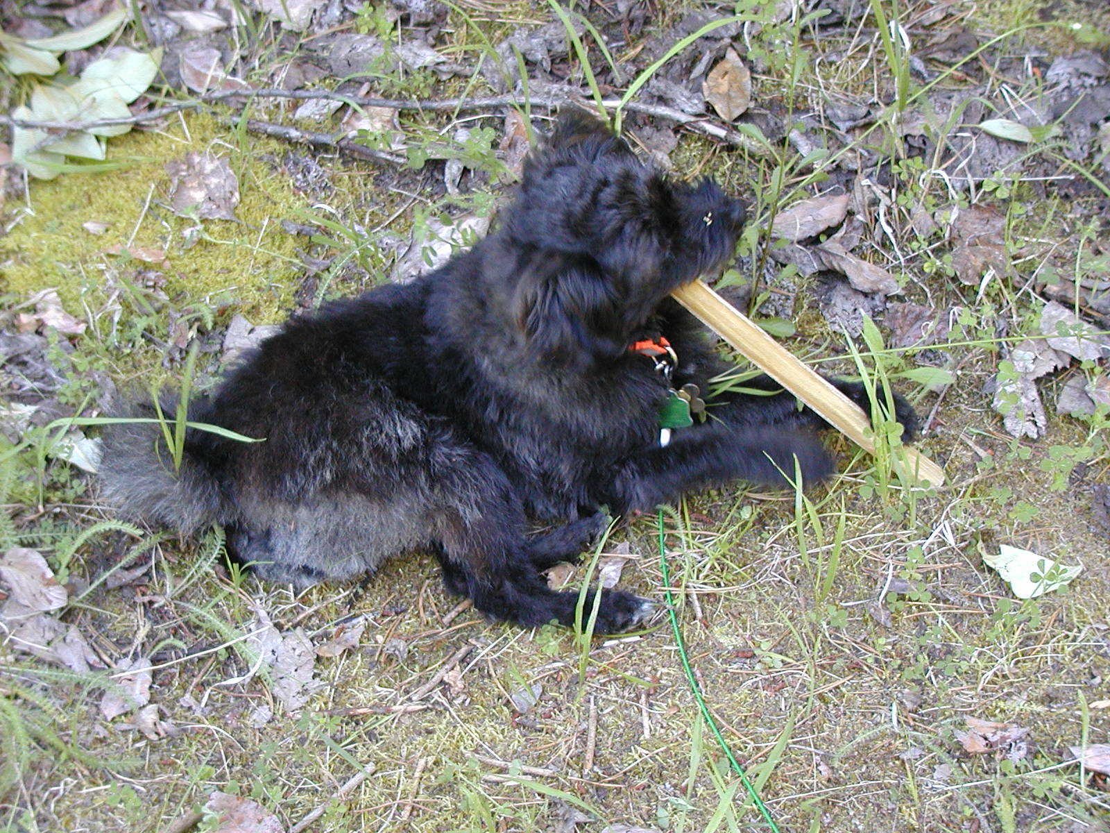
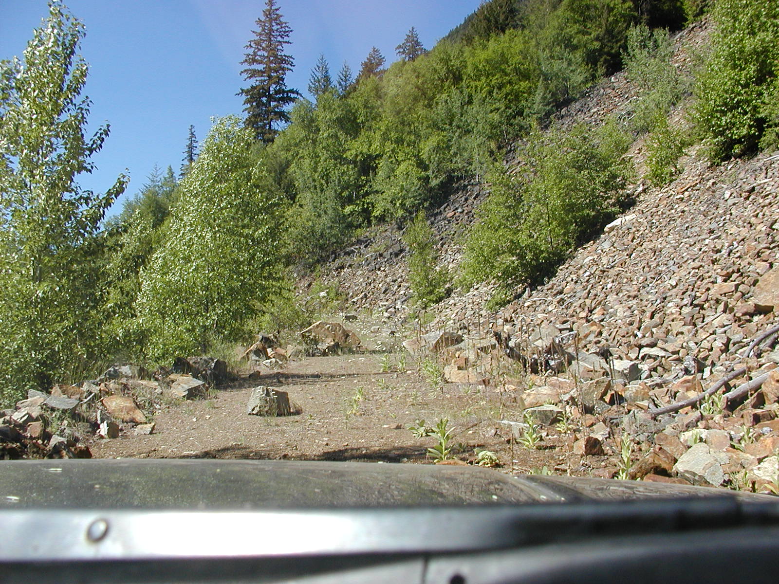
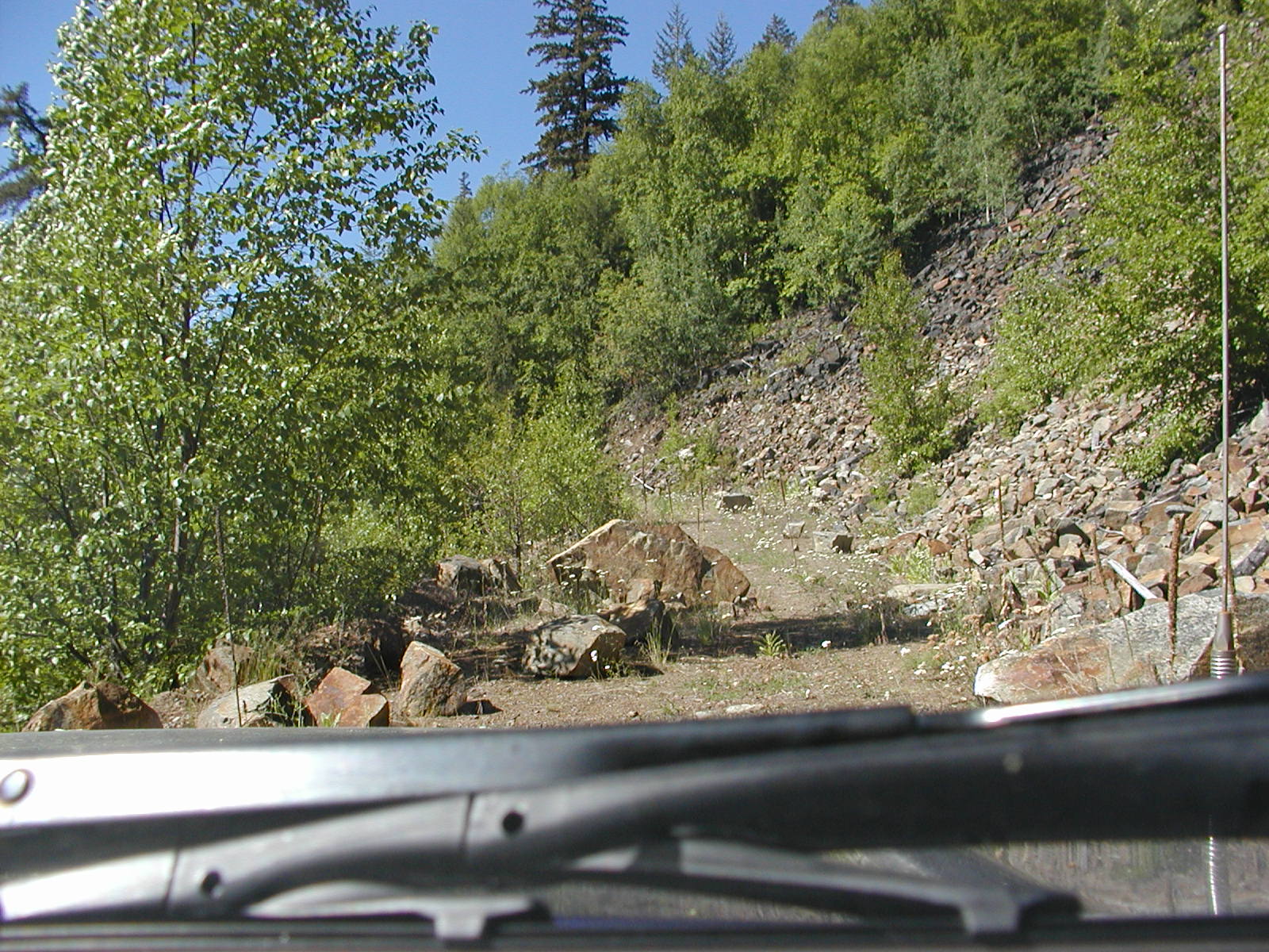
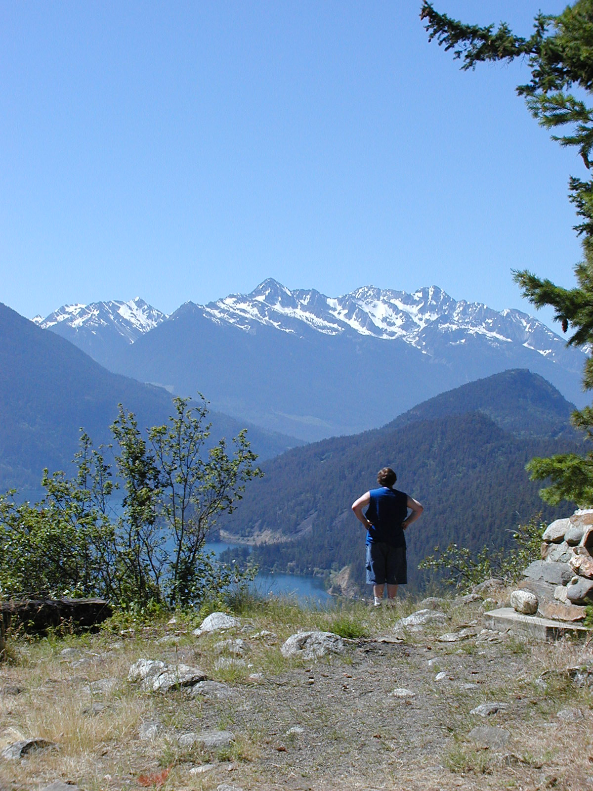
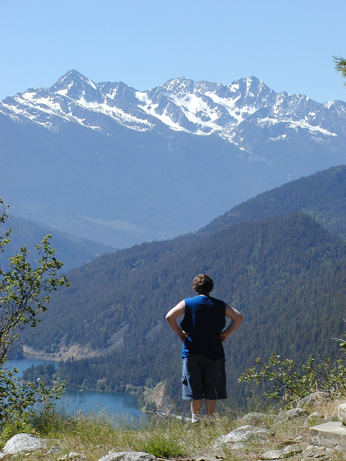
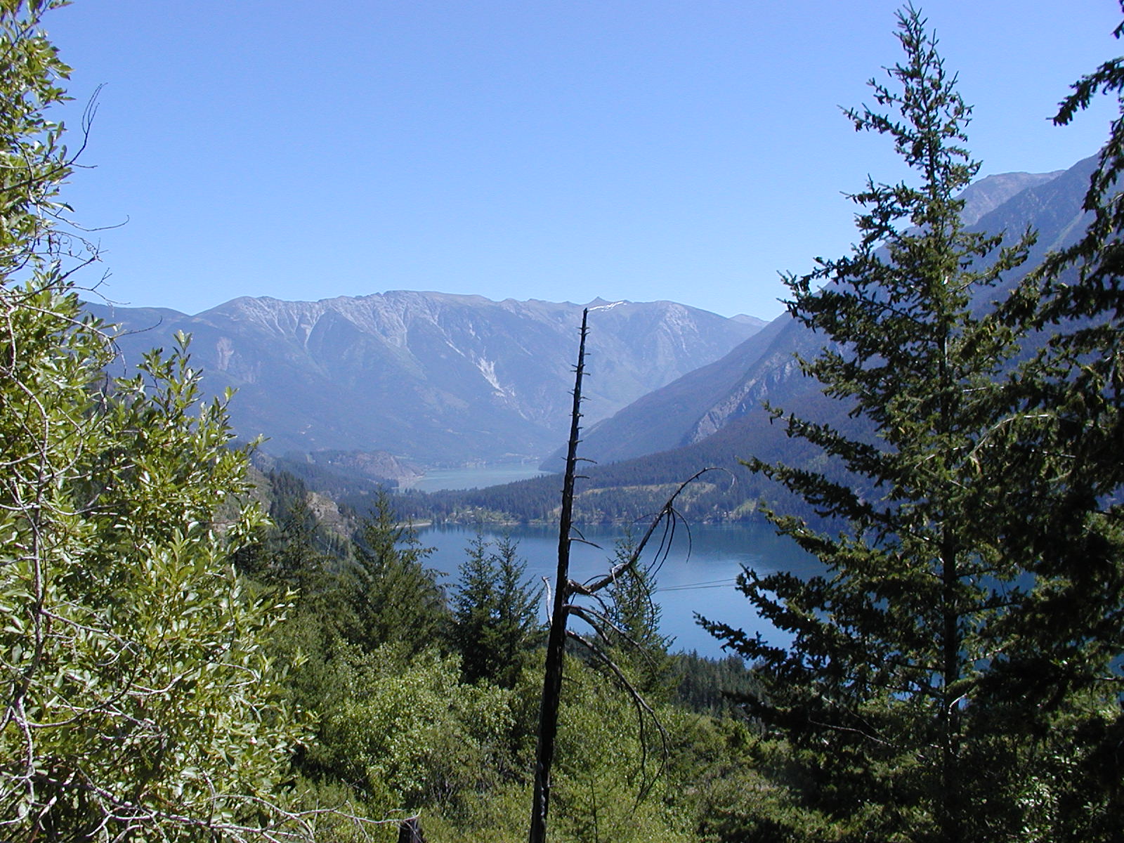
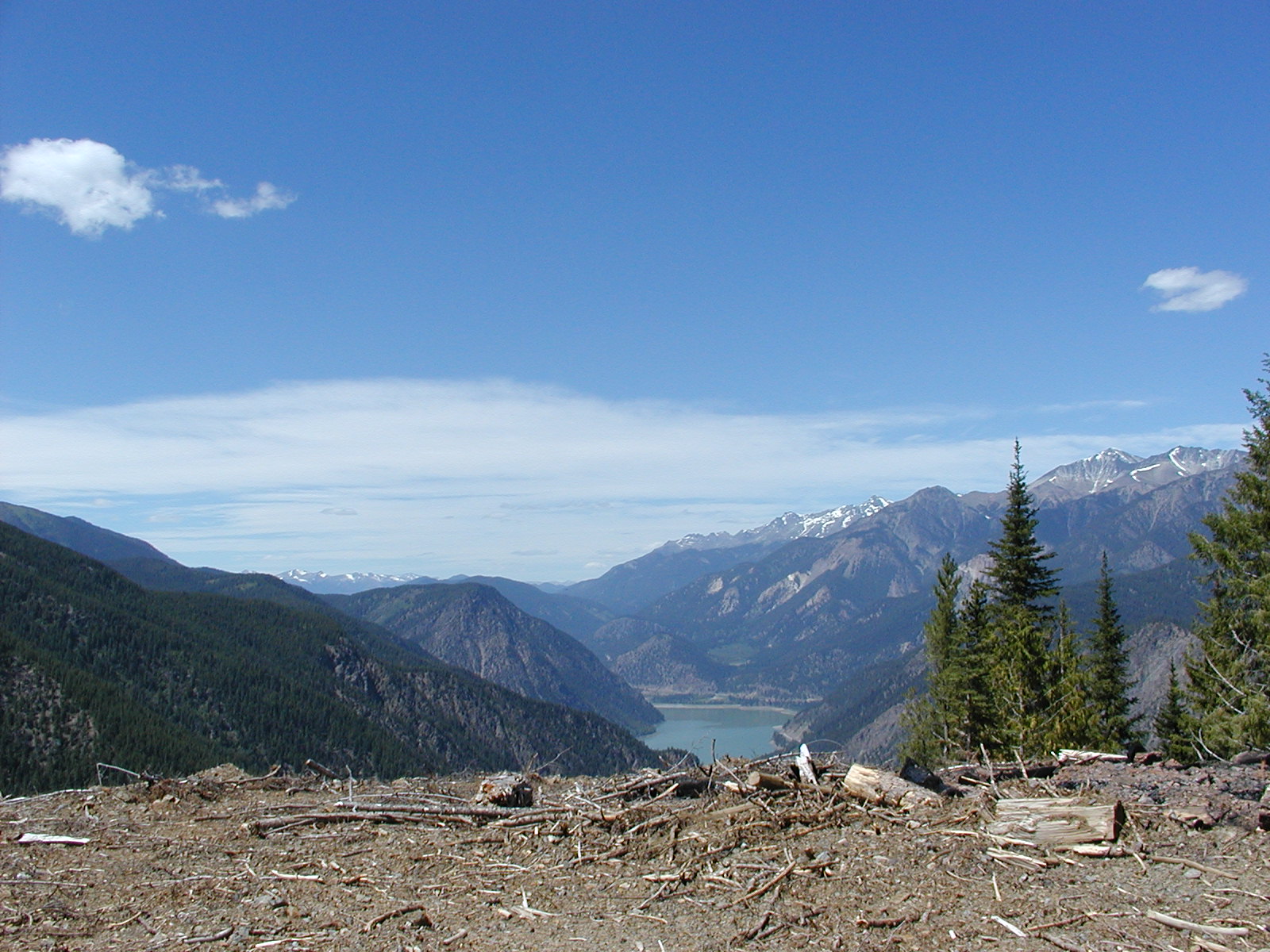
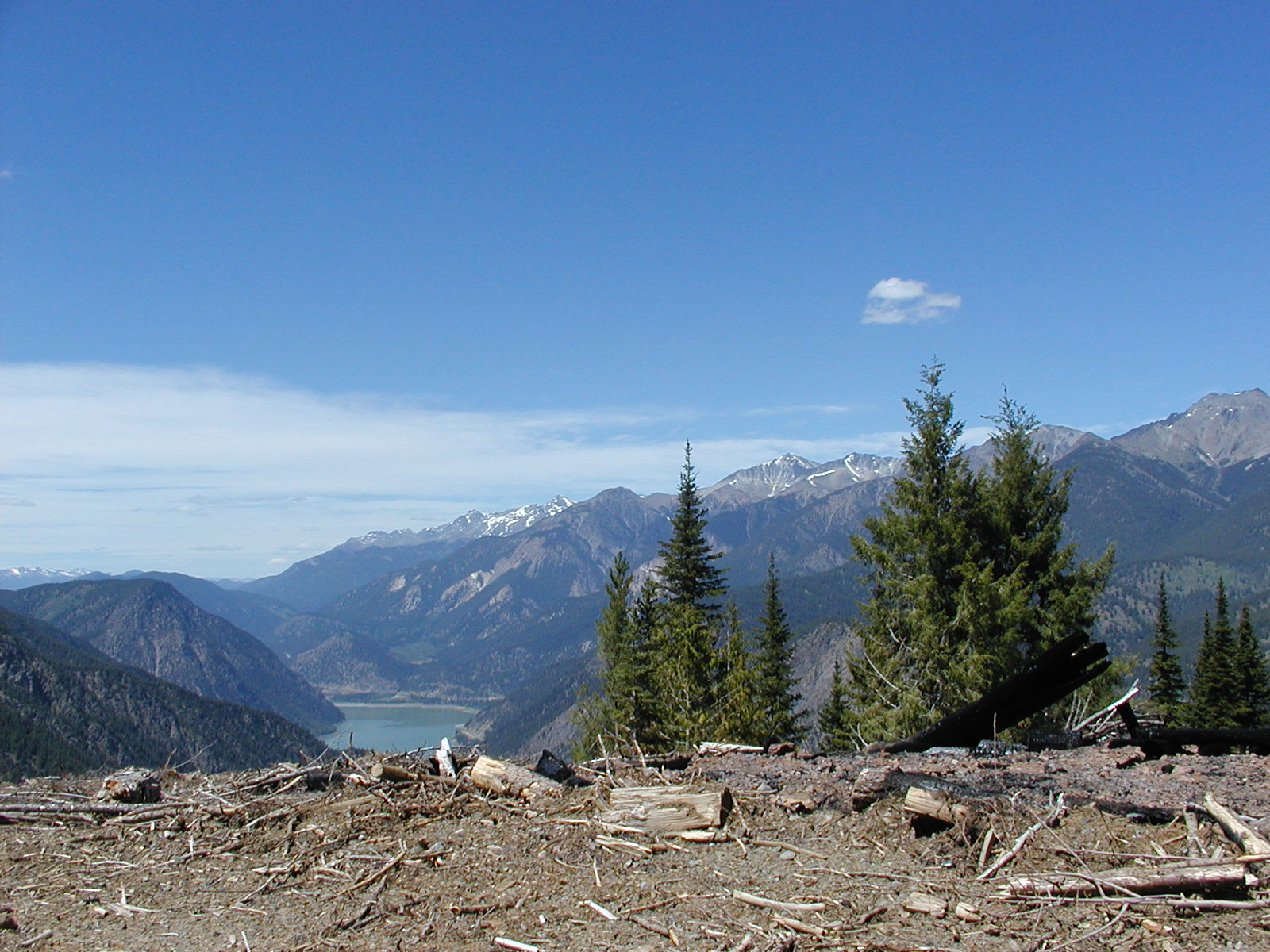
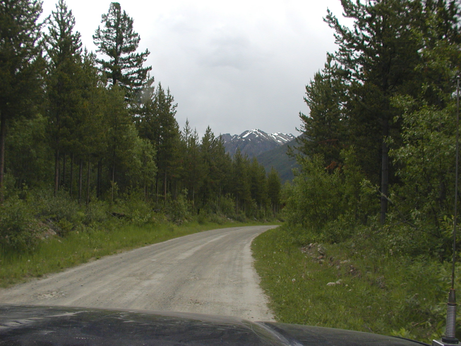
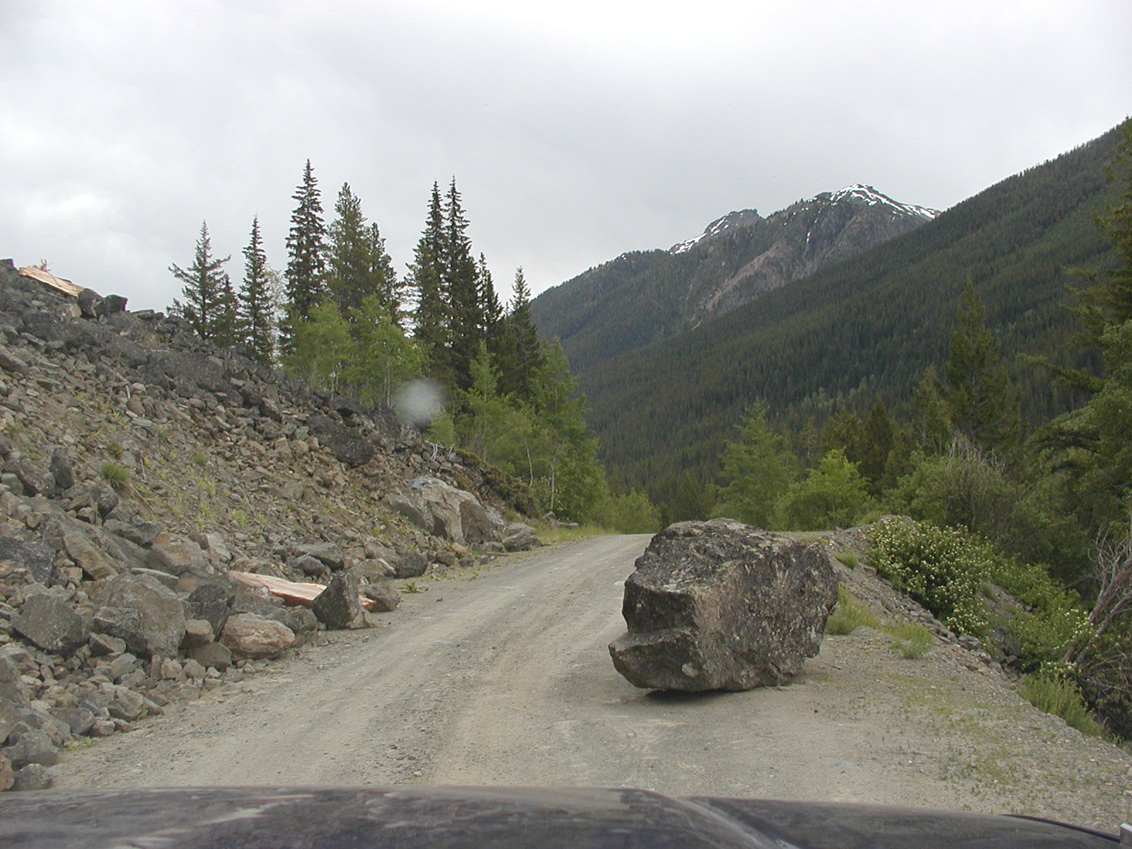
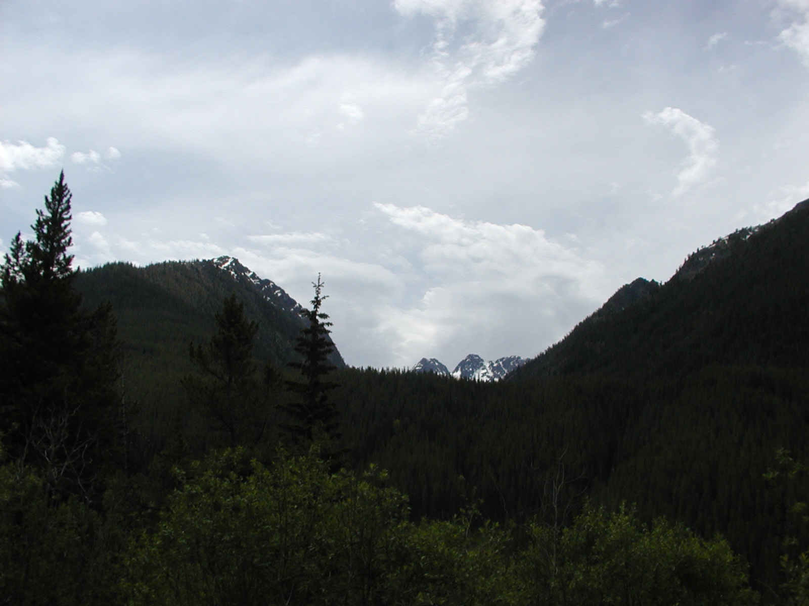
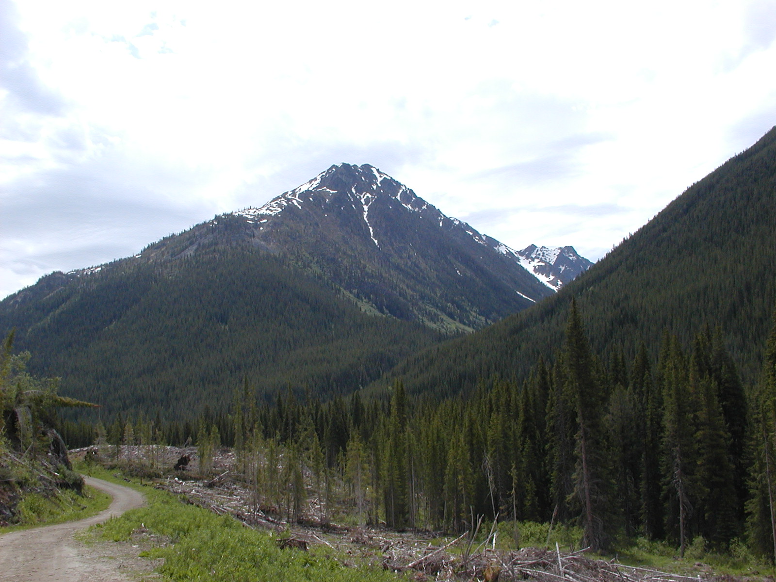
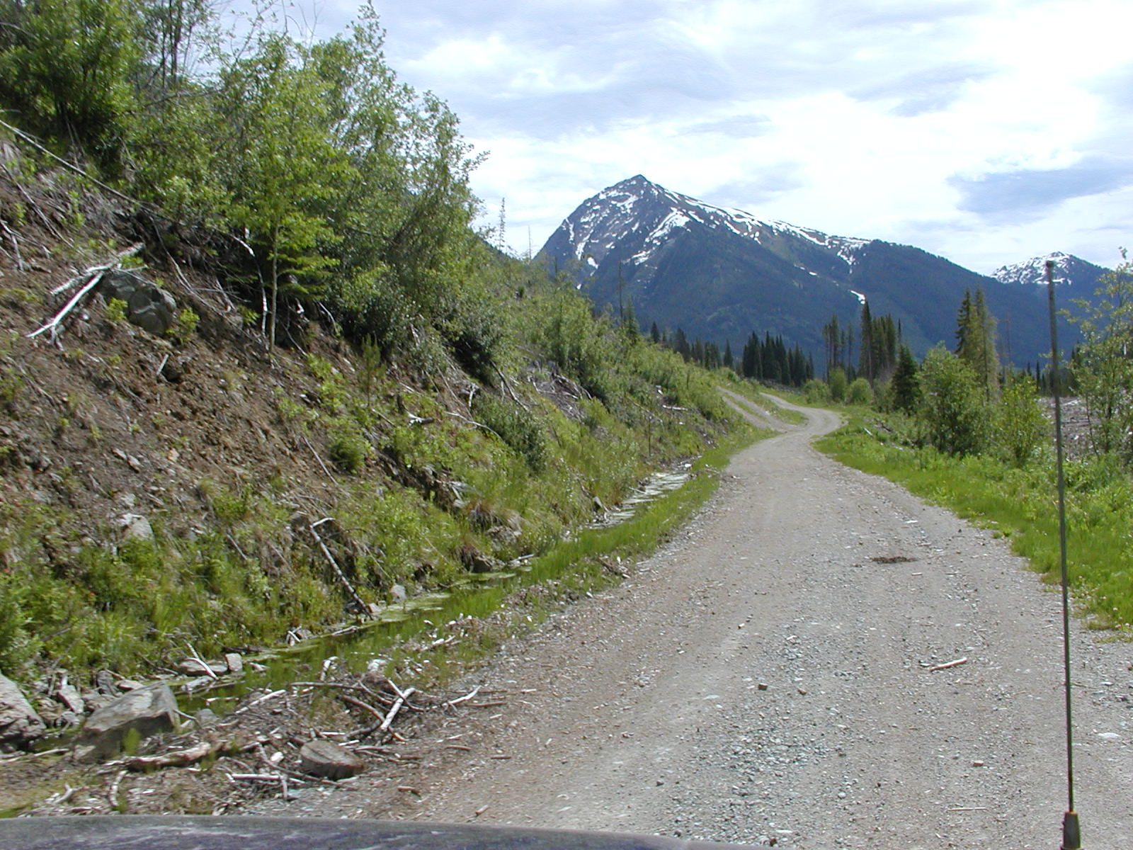
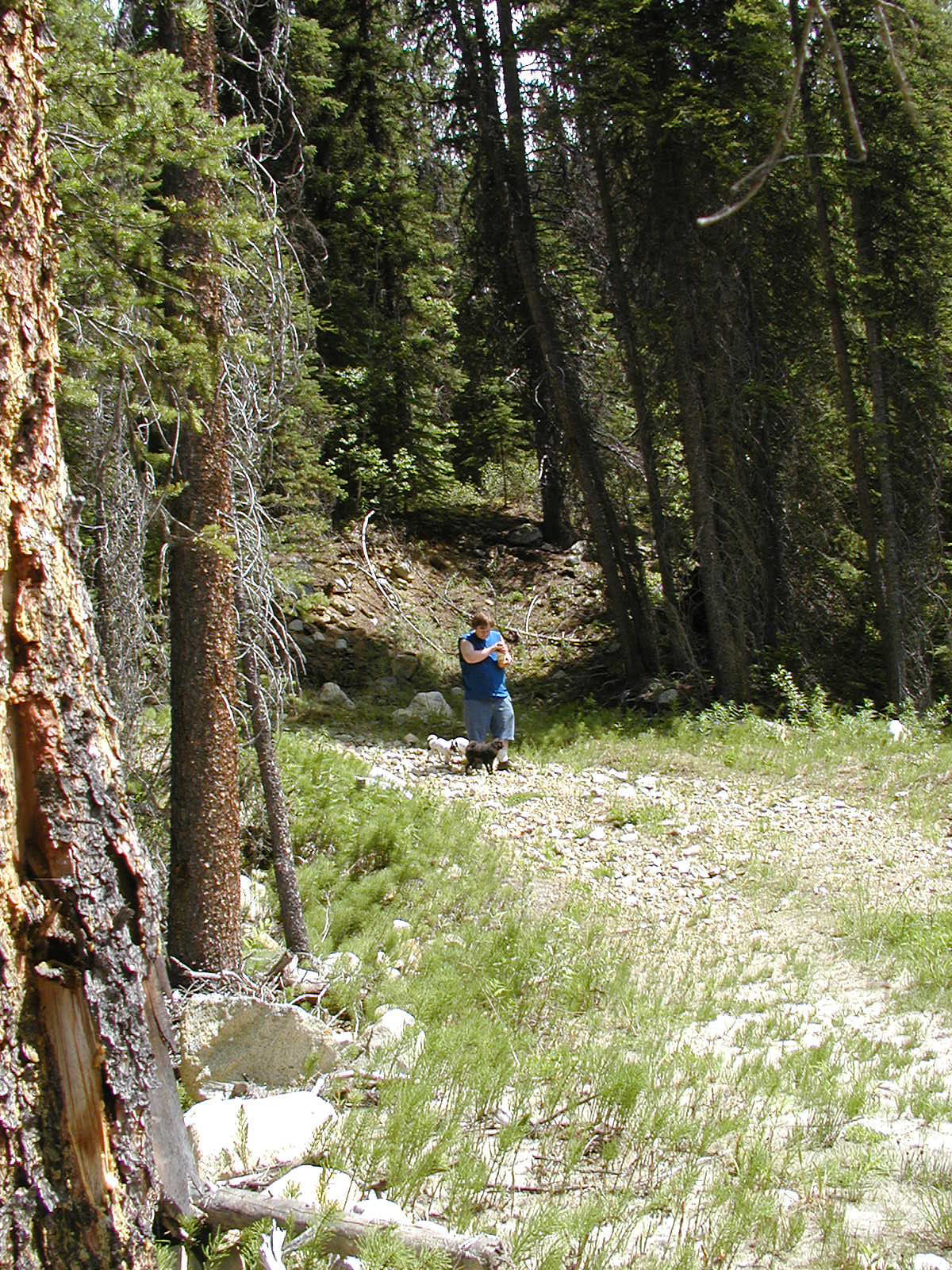
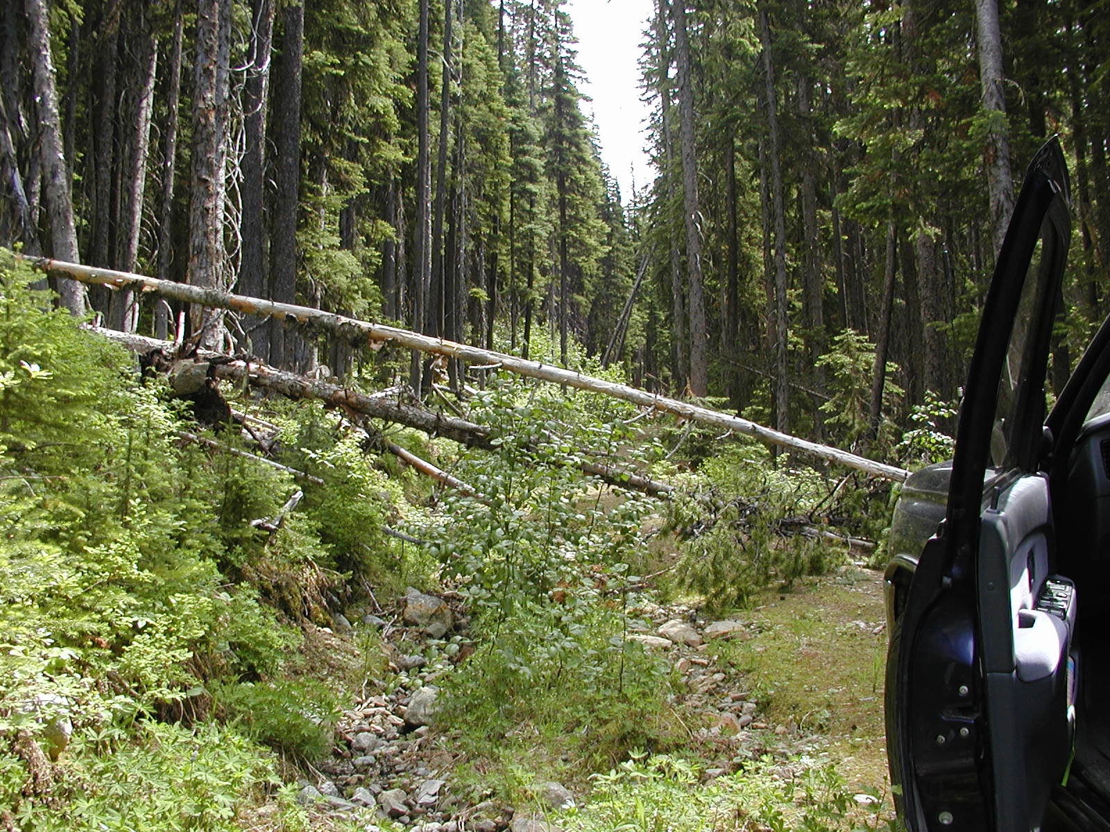
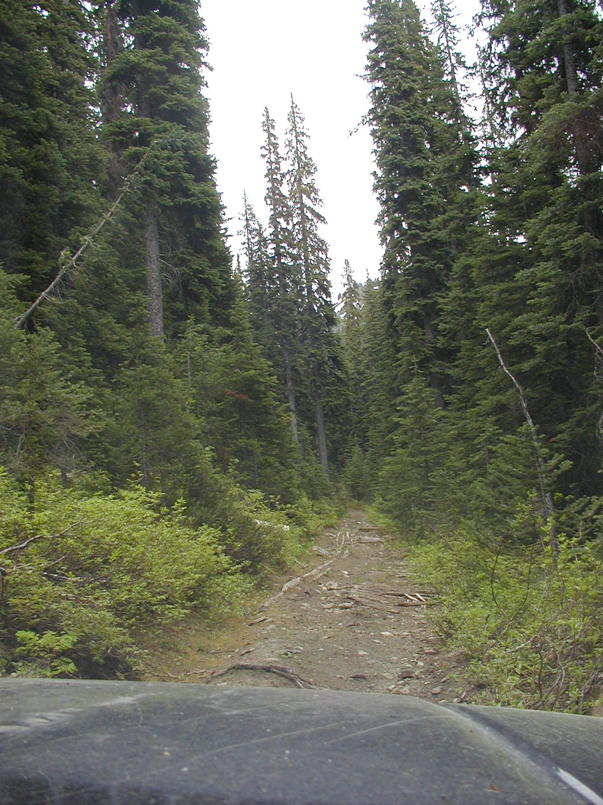
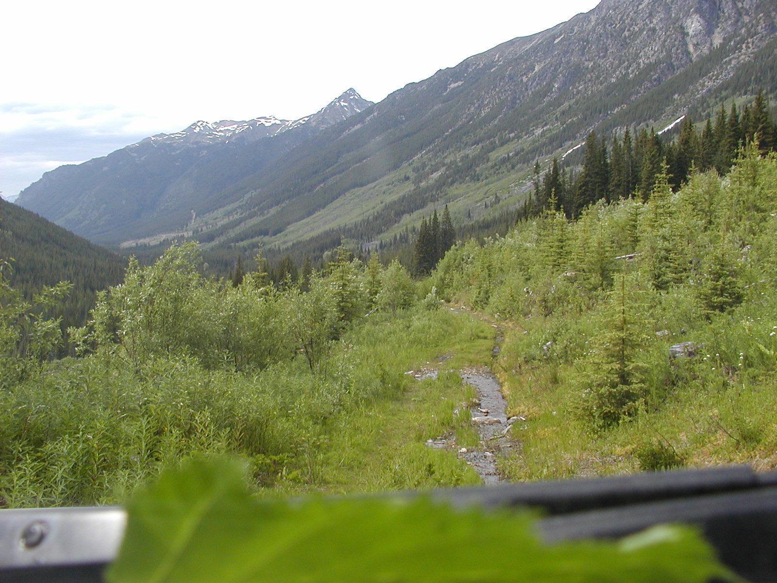
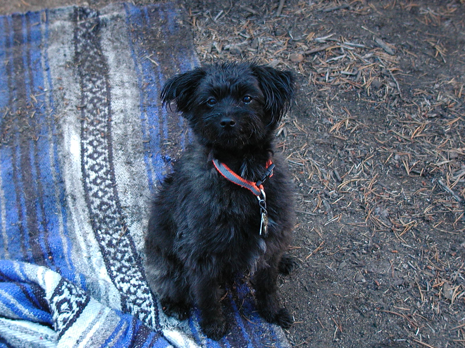
We got up early and wholeheartedly intended on going down McGillvray Creek FSR to the Brett Mining Cabins to do some metal detecting but after getting all saddled up a little whimper came from behind the passenger seat where the dogs were bedding down for the journey. Turning around little Merlin with his rear leg straight out whimpering and bitting at the knuckle of it. It seems our little darling got his first bug bite. Awww it was so cute but so sad. We took him out of the truck and put him on the ground where he continued to whimper and waddle as best he could with sticking his rear leg out straight. We put some Benadryl lotion on the area he was biting and he seemed to settle a bit. We forego the metal detecting while his highness rode on my lap on a pillow. We travelled along the Douglas Trail/Rd again and decided to try out a few side roads. Many went no where but one where the Douglas Rd/Trail Forks off to the lower Y. We decided to take the upper road for a while to see where it went. It was as good road but ended at a major rock slide 50.37.027 // 122.26.412 The road is suitable for hiking further but not for vehicular traffic.

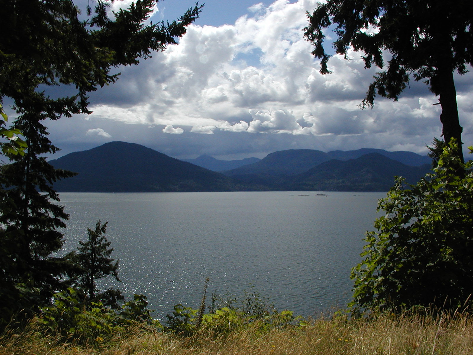
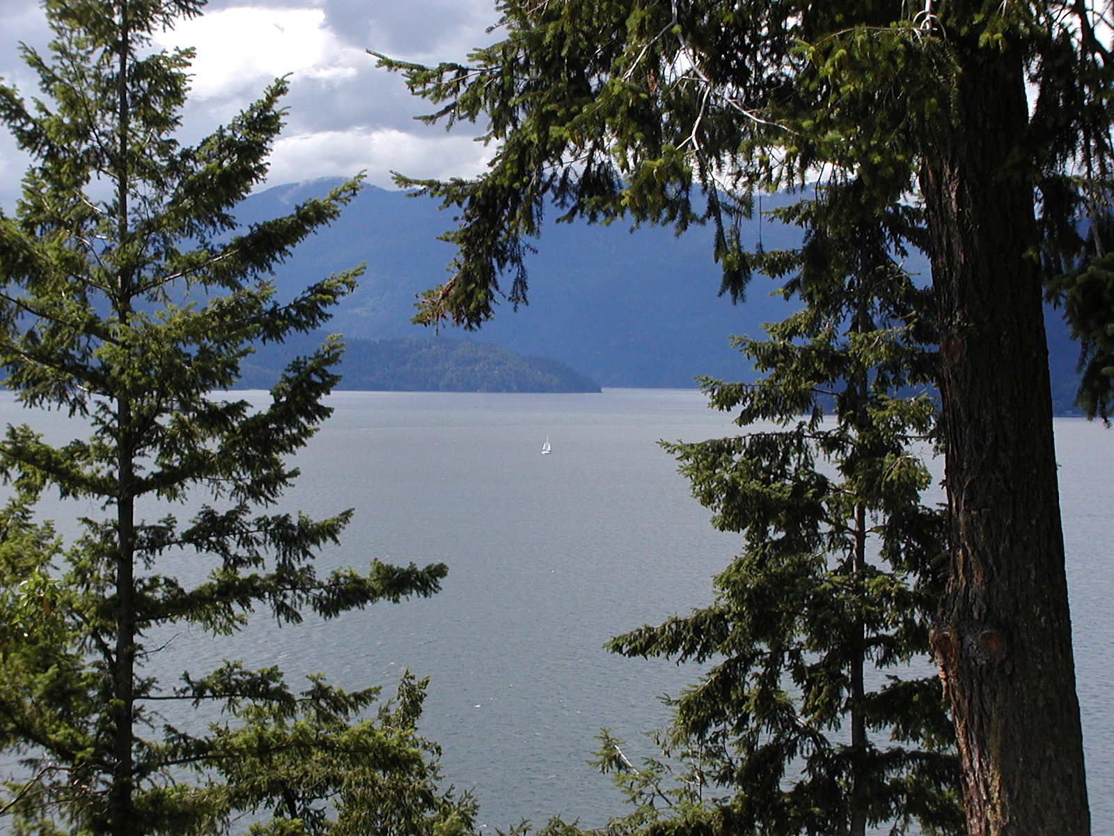
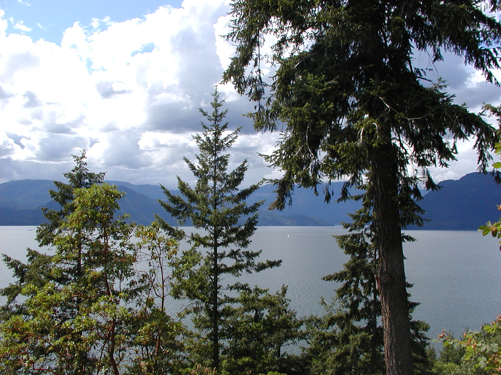
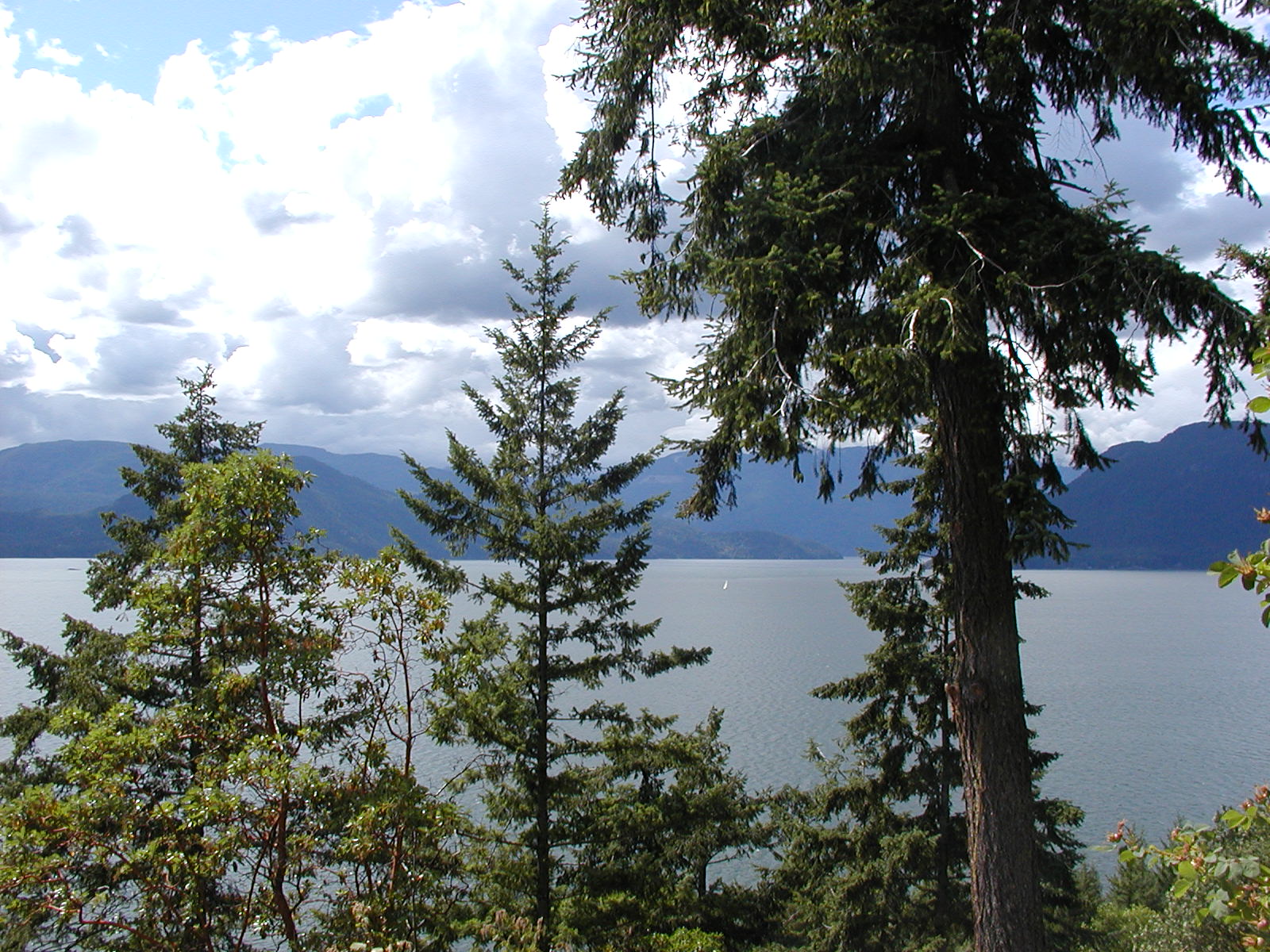
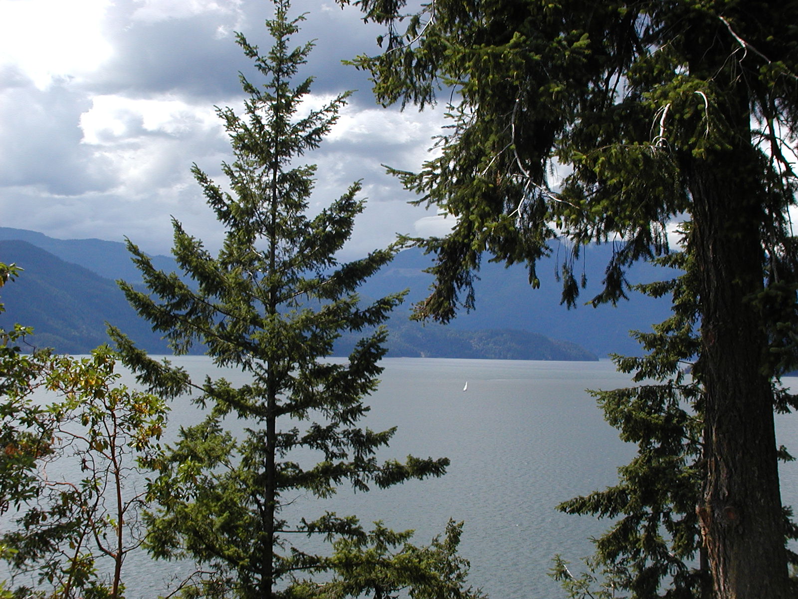
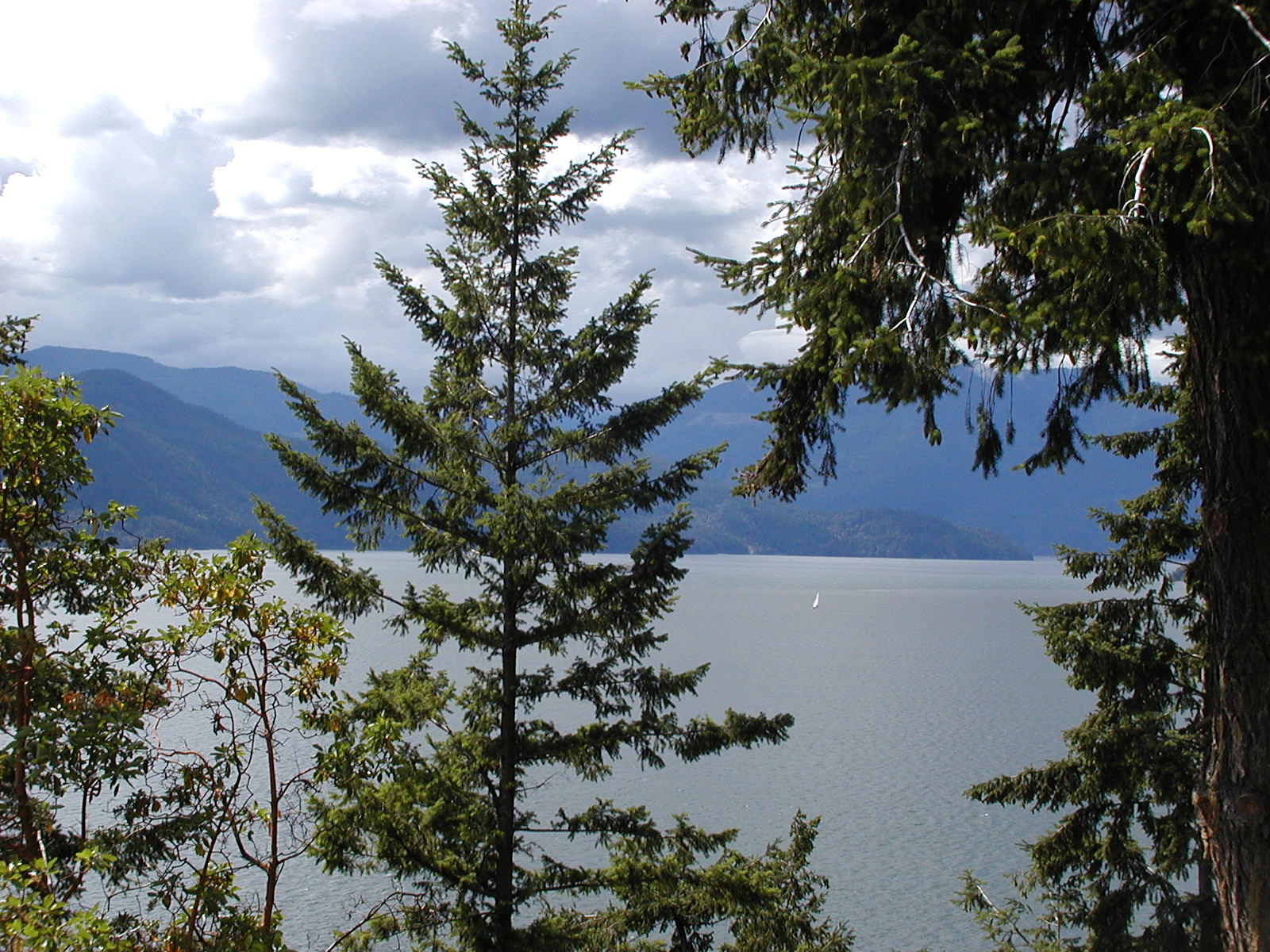
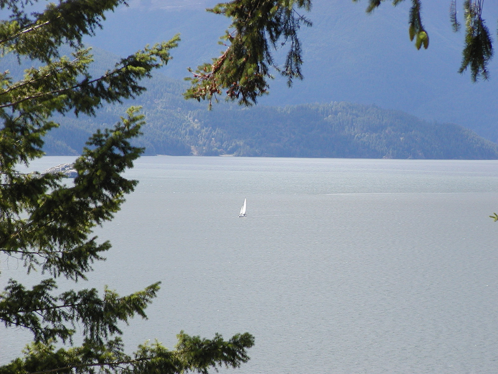
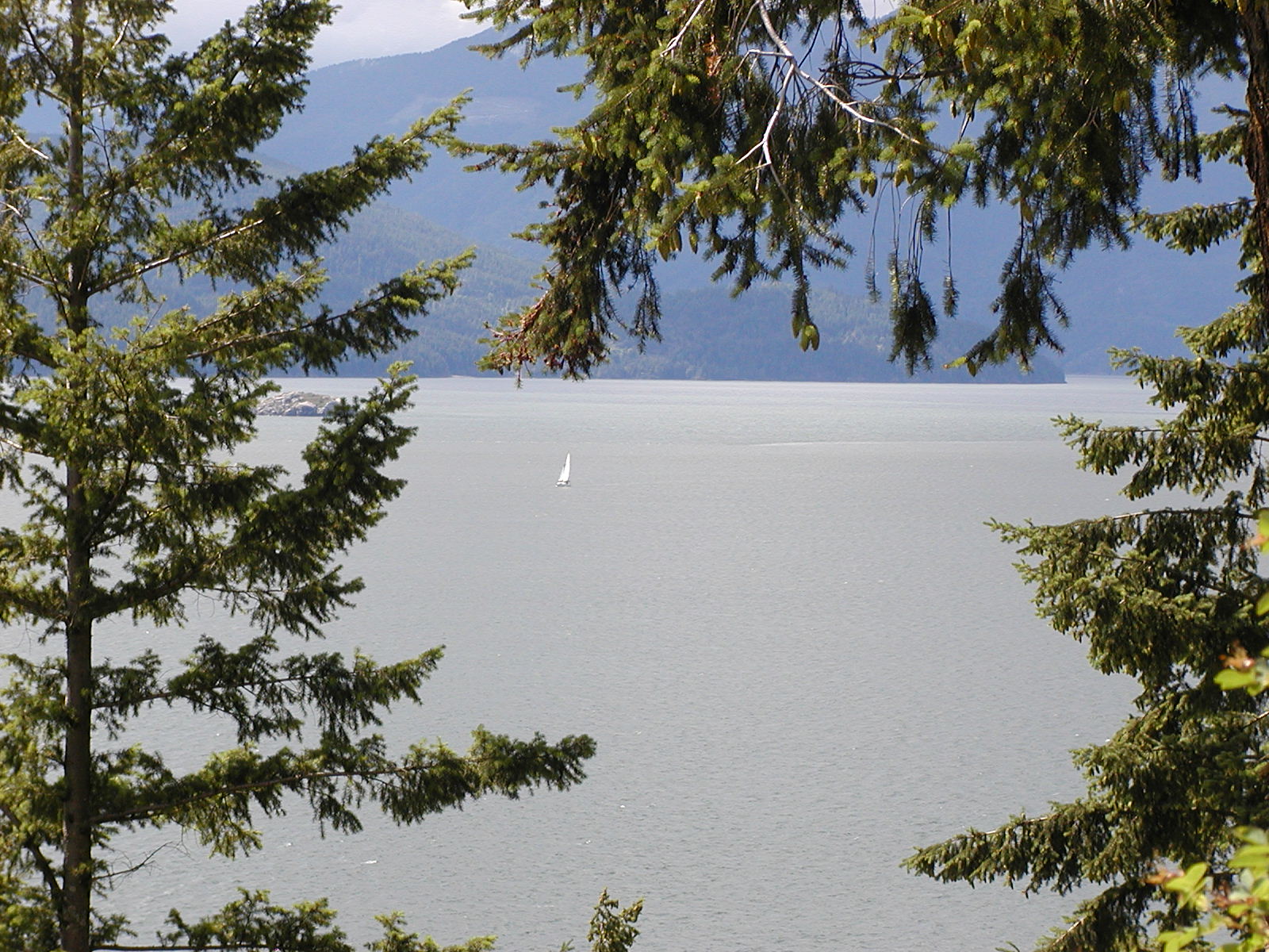
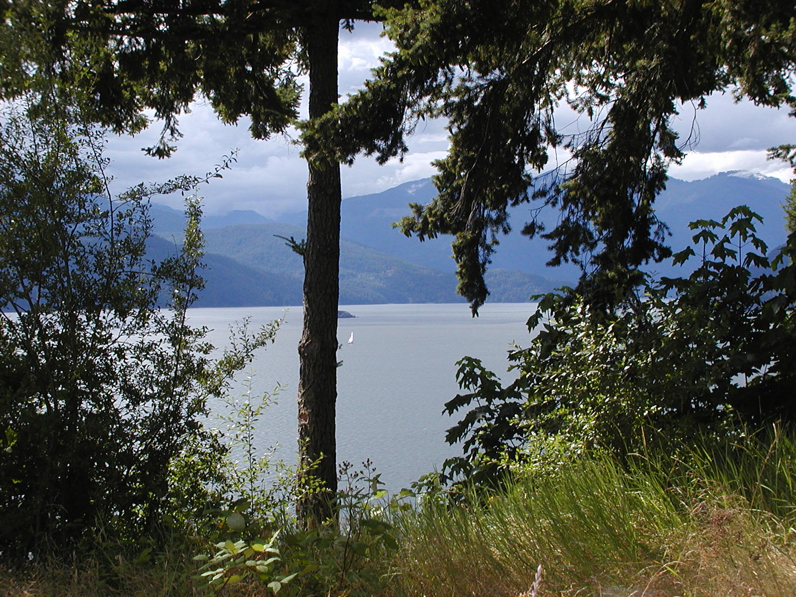
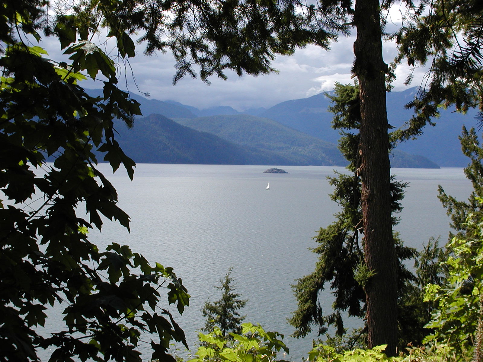
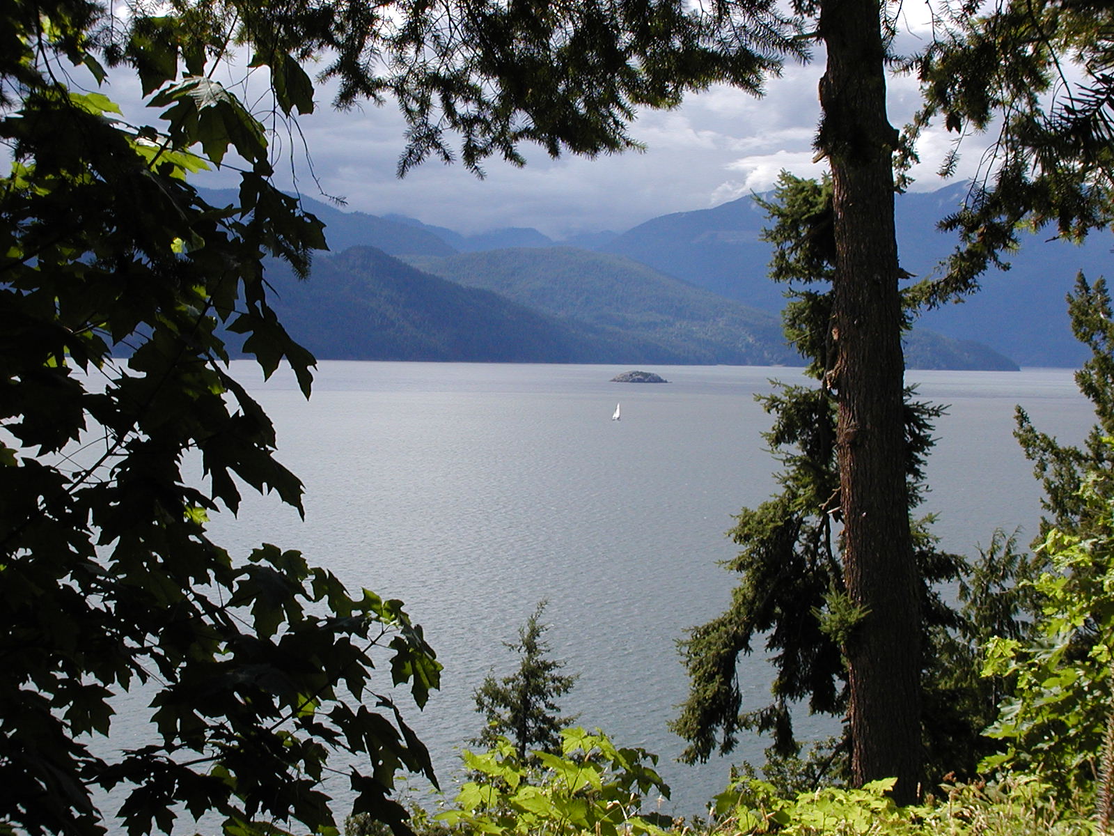
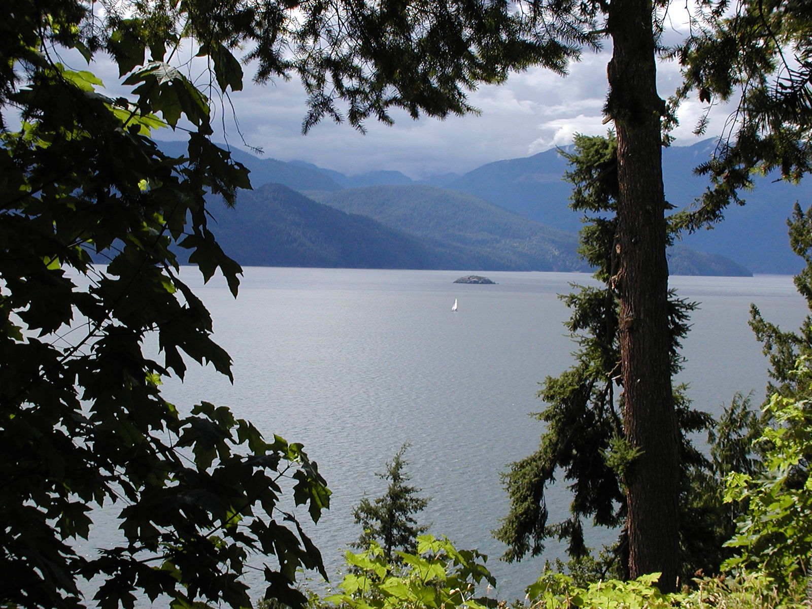
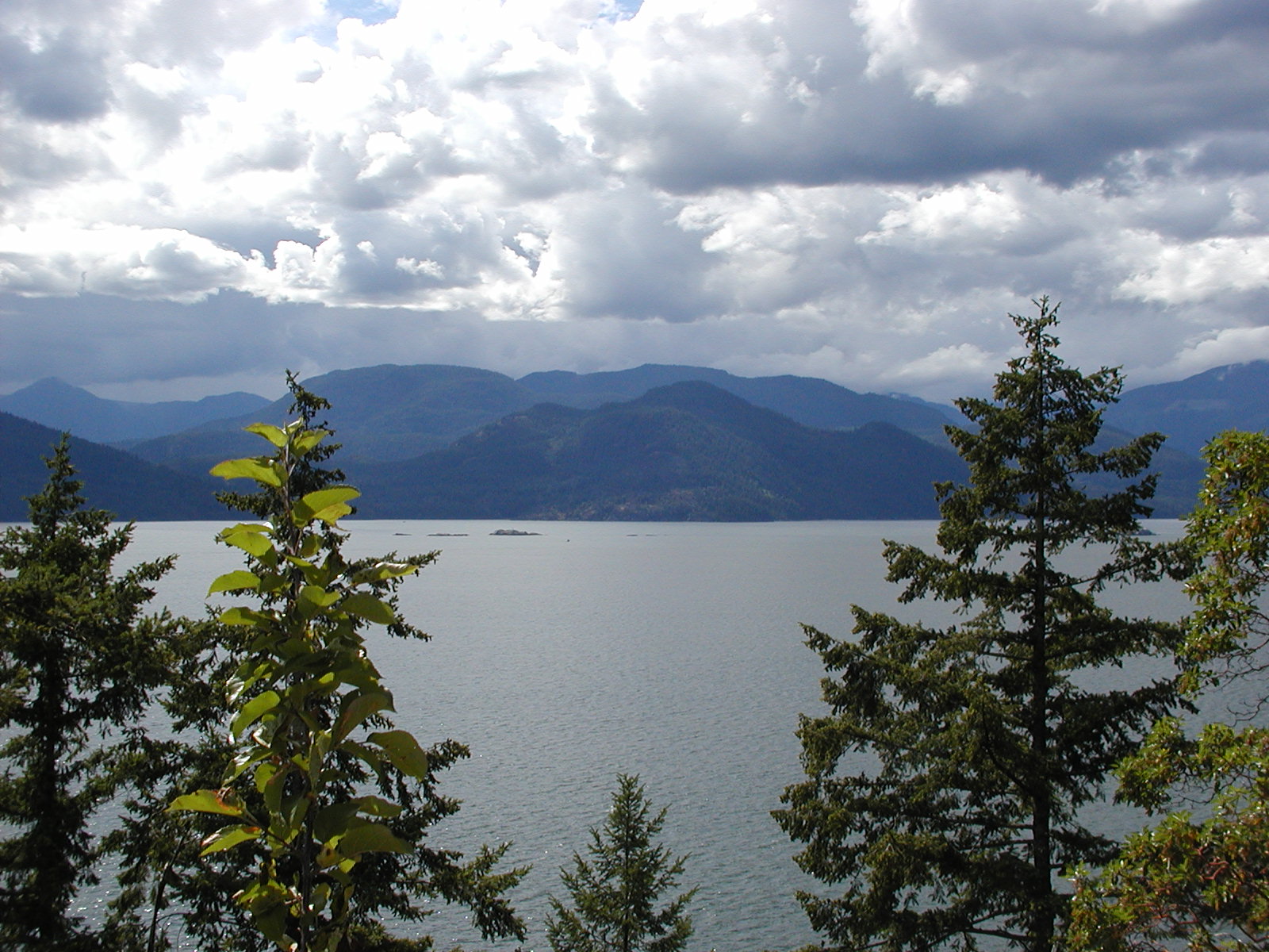
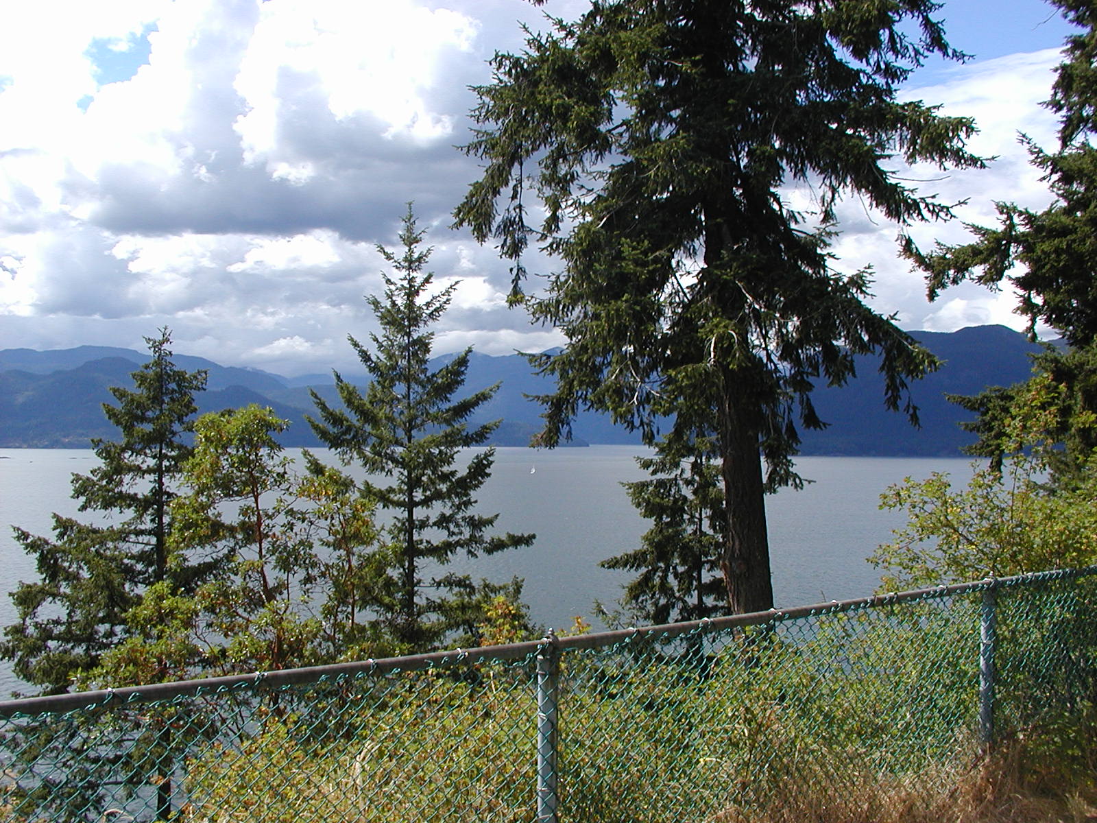
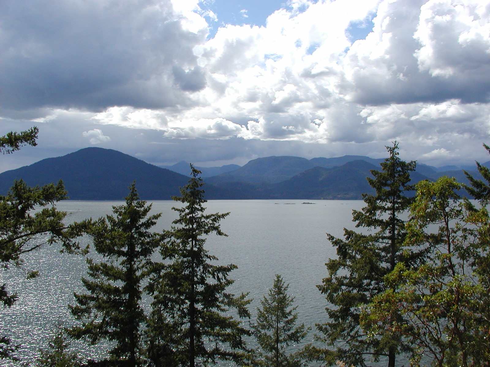
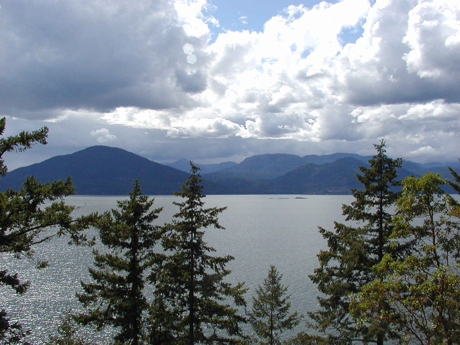
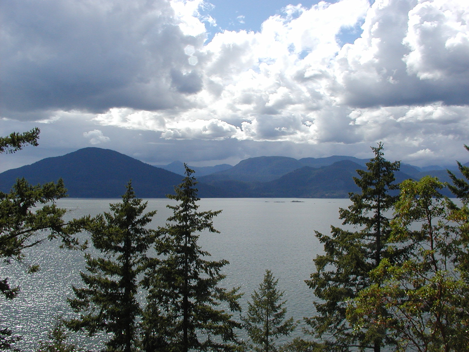
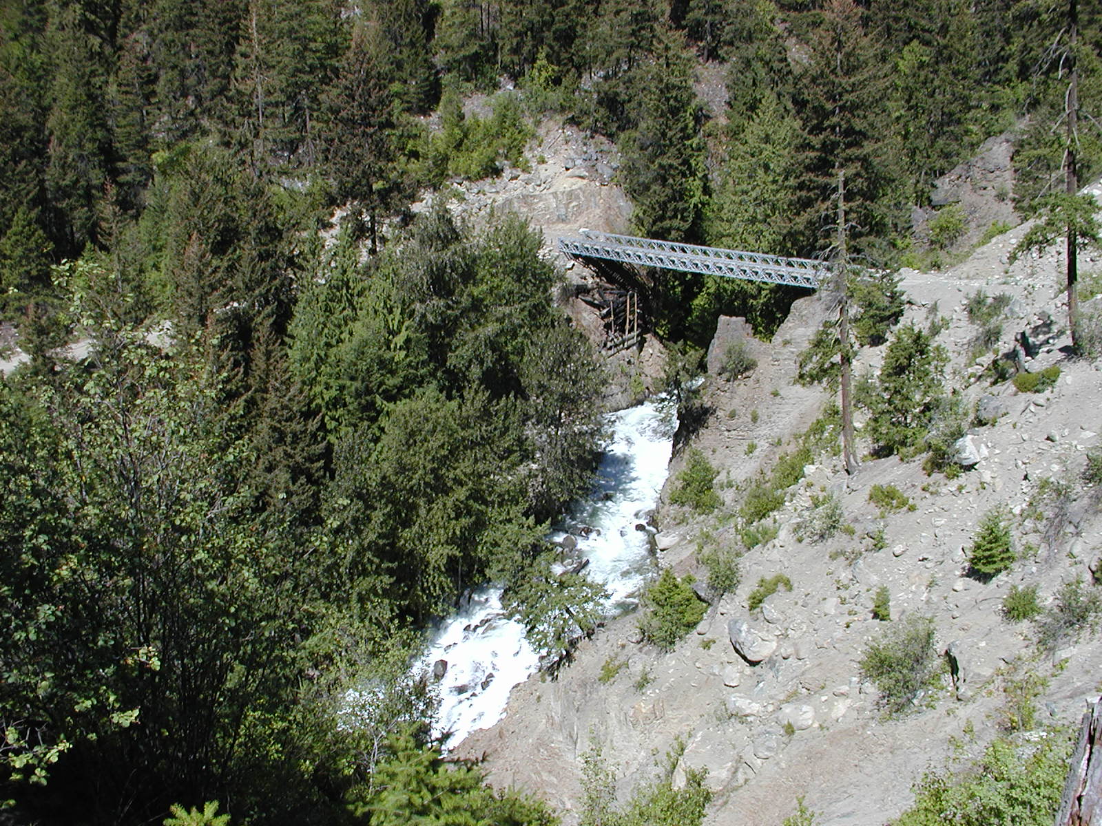
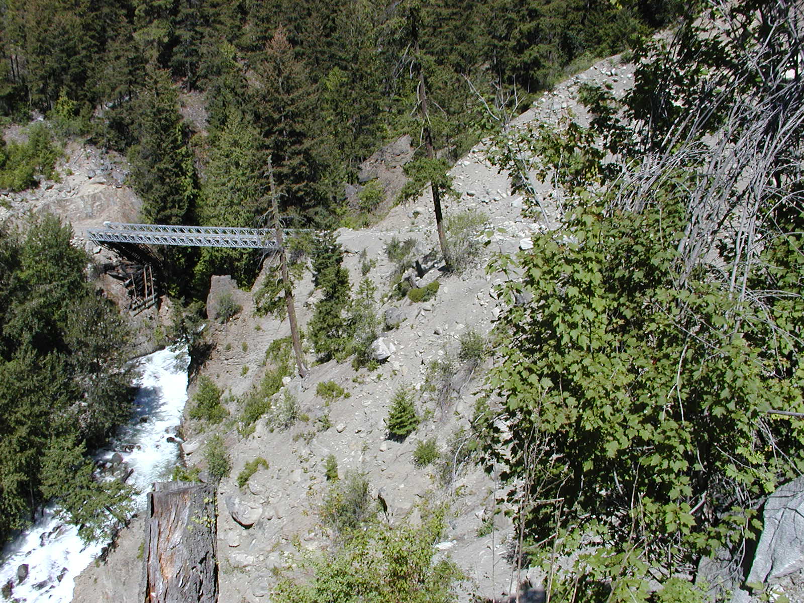
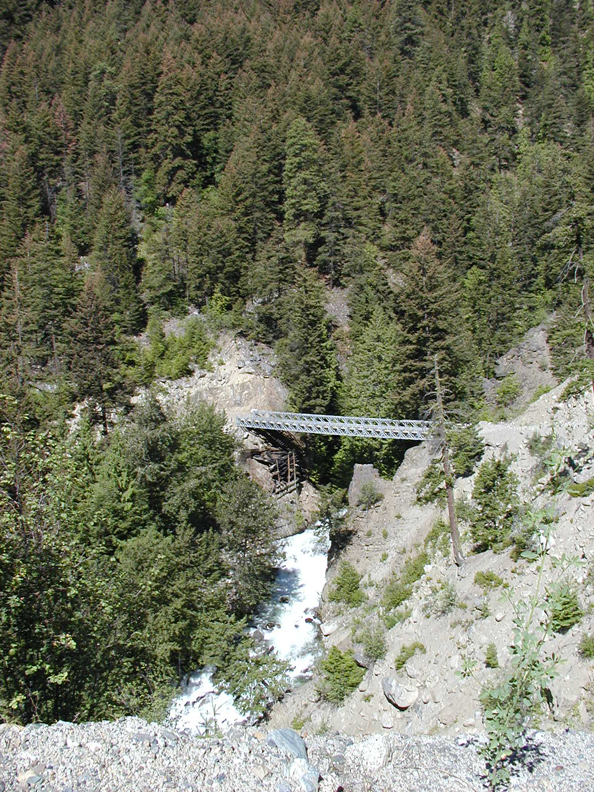
Back to the main and into Seton-Portage. There is another creek bridge spot that looks like it has been reworked somewhat, however, the road going into the bridge and north out the other side is treacherous to say the least! Seton-Portage now boasts a gas station along with their new general store. Seton Portage is divided by a small river between Anderson Lake (towards D'Arcy) and Seton Lake (towards Harrison Lake).


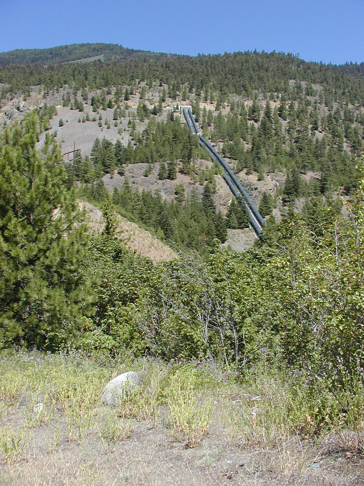
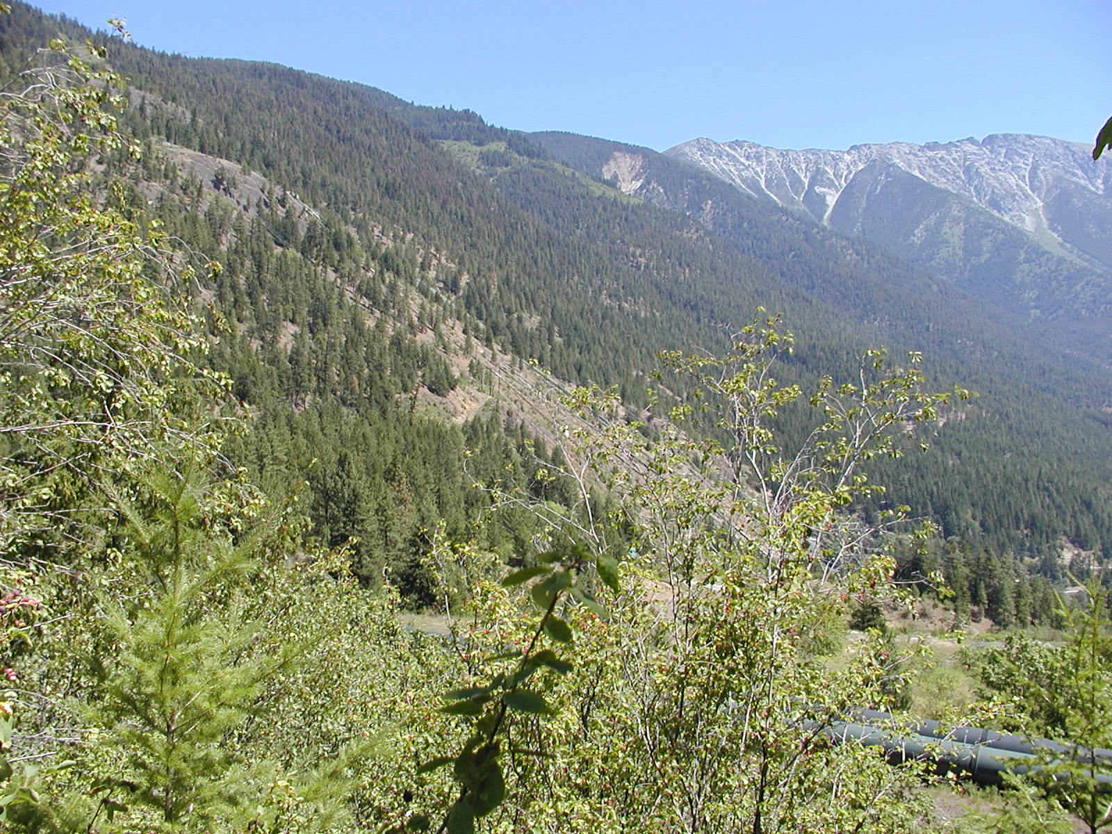
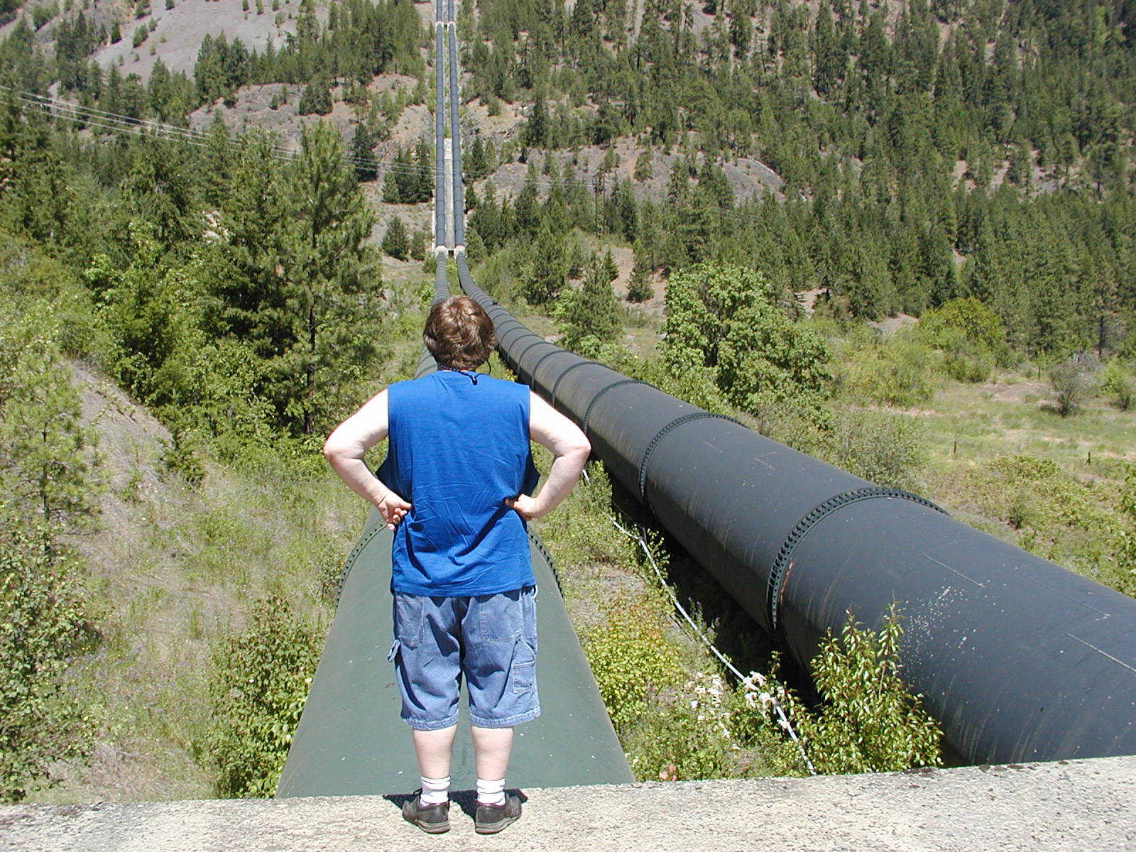
 Through Seton-Portage and out the Shalath exit at the
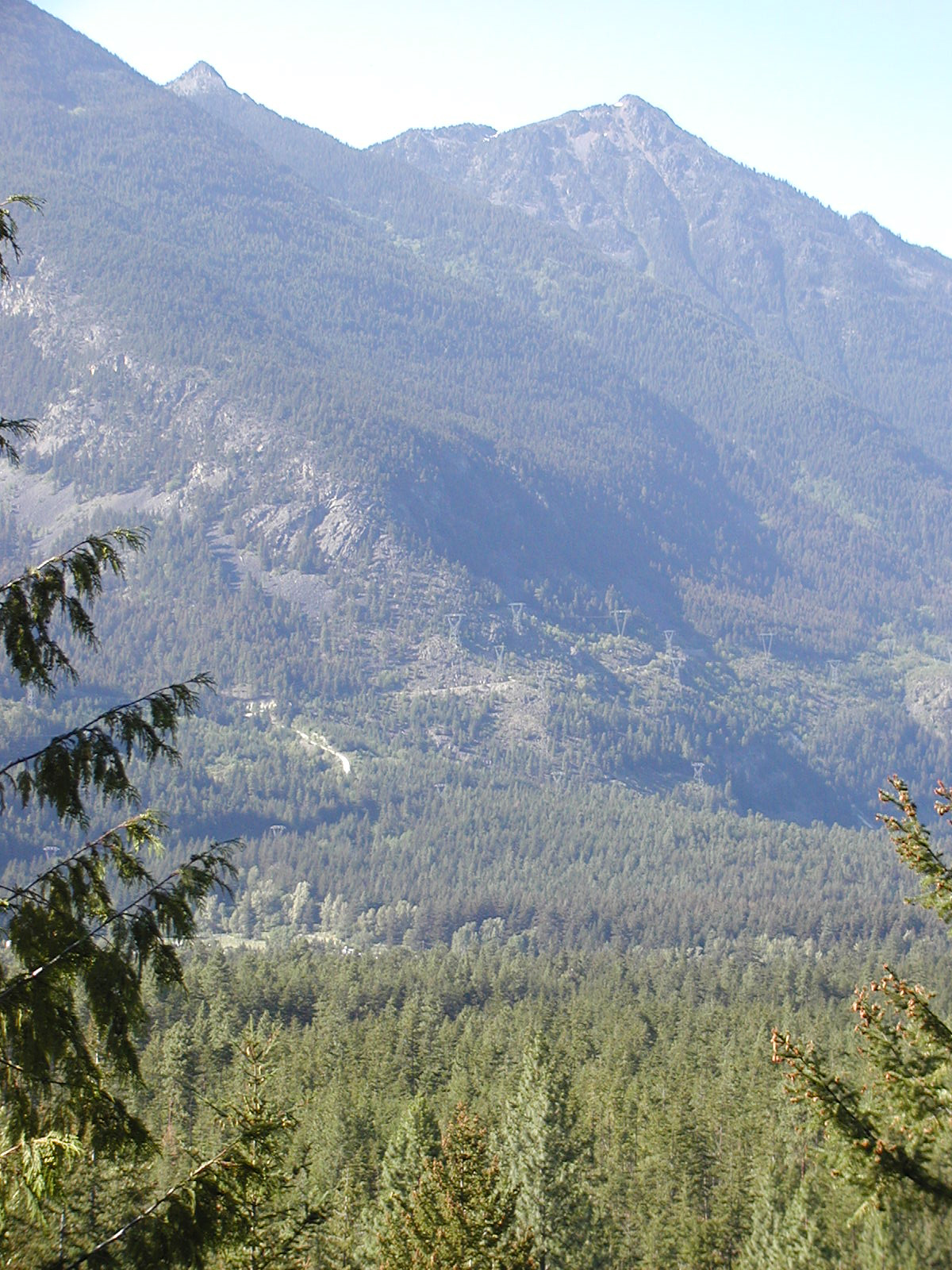
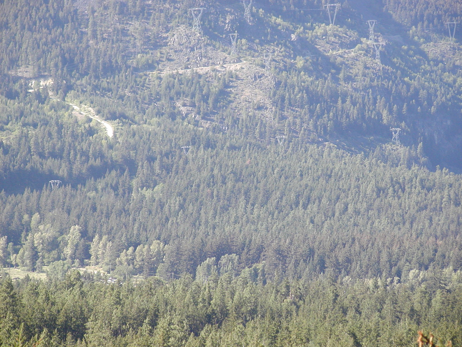
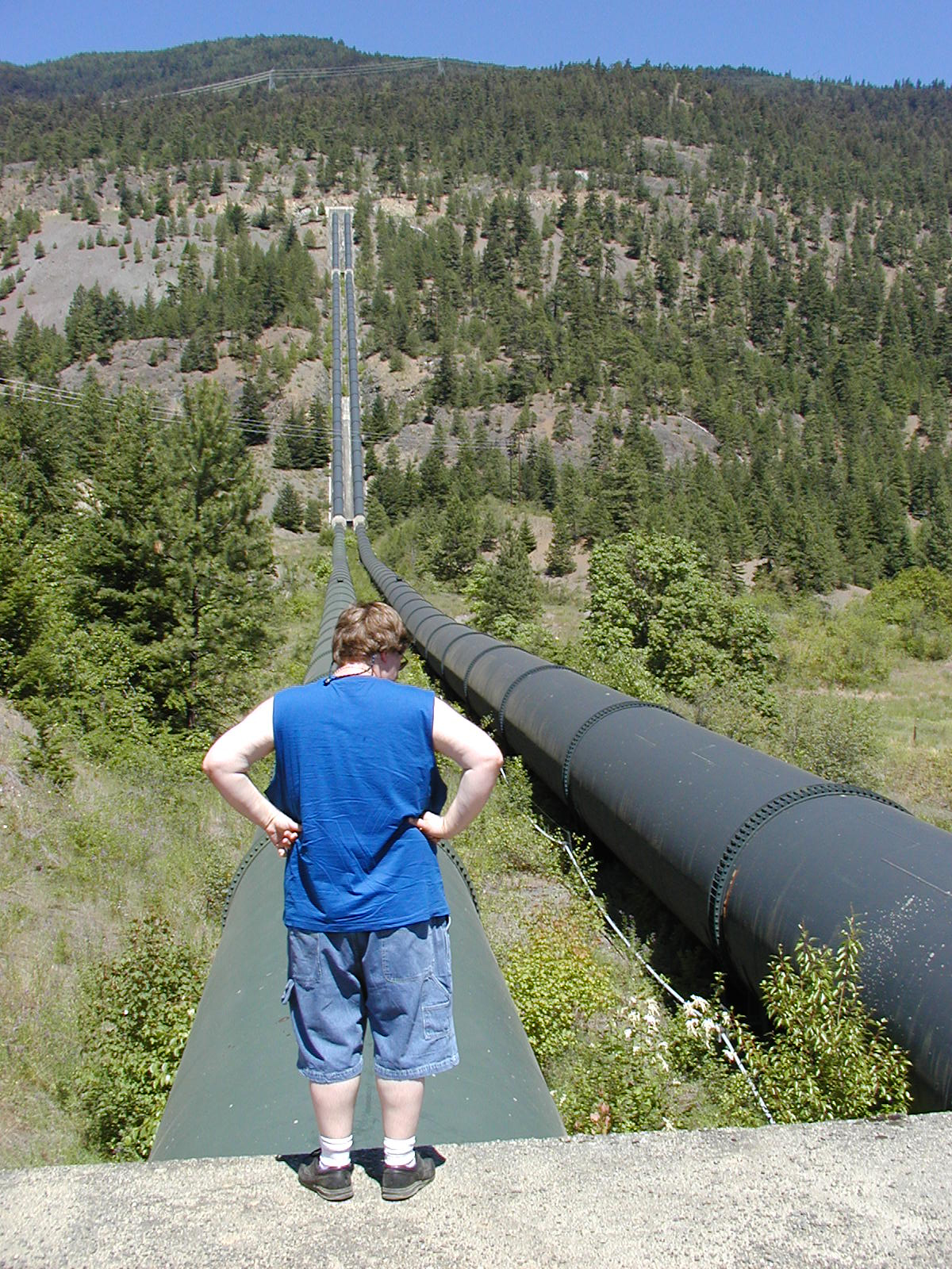
entrance also to Mission Ridge you drive thru and under the main power station.
Very eerie indeed driving under these high voltage wires buzzing about you. The
tubes come down the Mission Ridge hill from the manmade Carpenter Lake on the
other side of the Ridge producing ample hydro power. The largest of the water
tubes are about 10 feet in diameter. Hate to see it if one of them bursts!
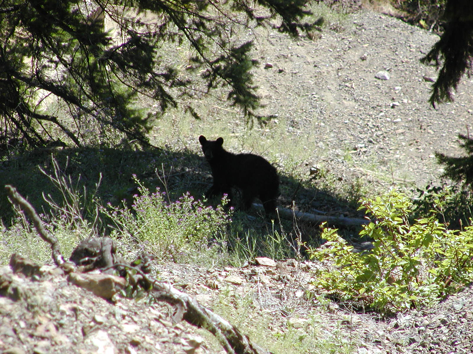
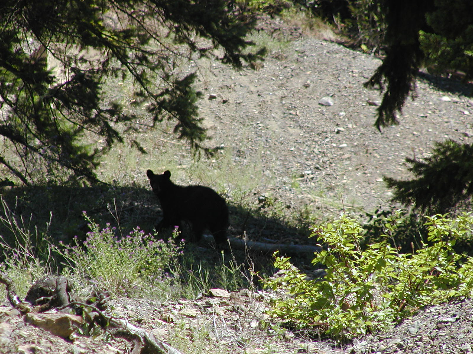
Heading up Mission Ridge a small yearling cub was in the bush. Poor little thing
it looked like it was its first year out on its own and it was getting
dangerously close to the townsite.
Through Seton-Portage and out the Shalath exit at the
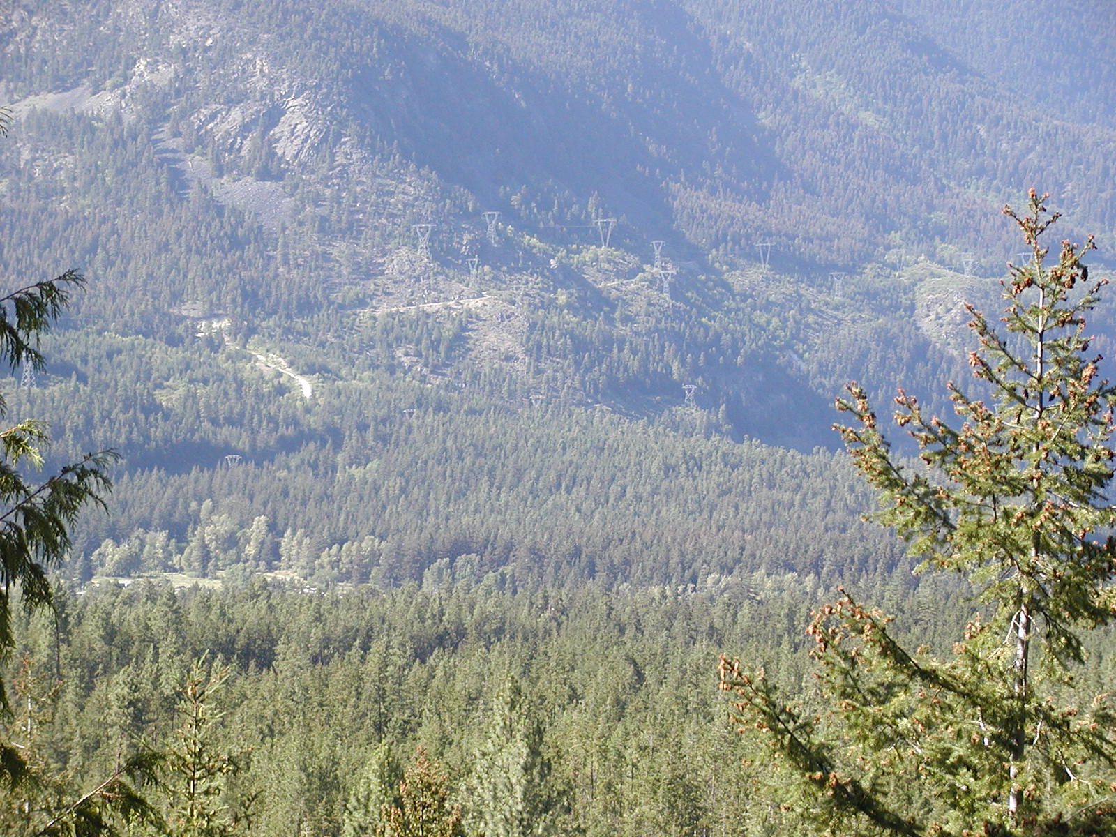
entrance also to Mission Ridge you drive thru and under the main power station.
Very eerie indeed driving under these high voltage wires buzzing about you. The
tubes come down the Mission Ridge hill from the manmade Carpenter Lake on the
other side of the Ridge producing ample hydro power. The largest of the water
tubes are about 10 feet in diameter. Hate to see it if one of them bursts!
Heading up Mission Ridge a small yearling cub was in the bush. Poor little thing
it looked like it was its first year out on its own and it was getting
dangerously close to the townsite.
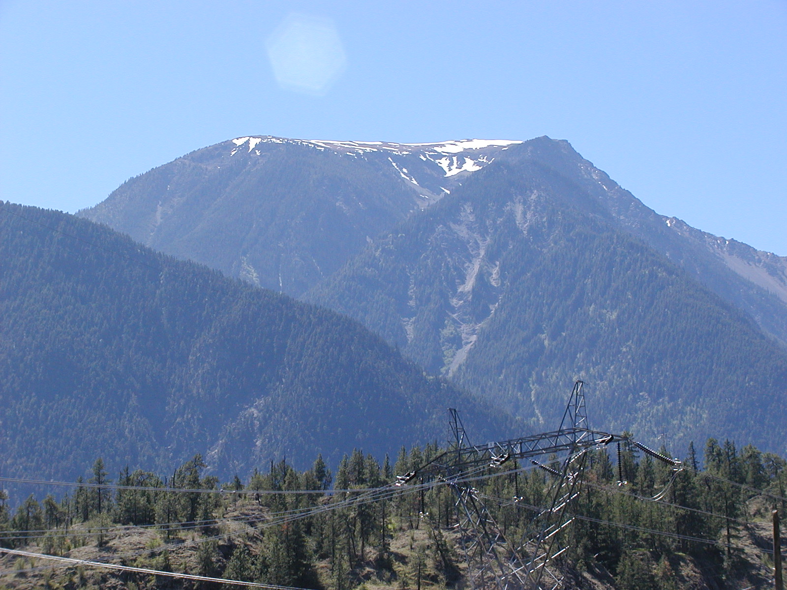
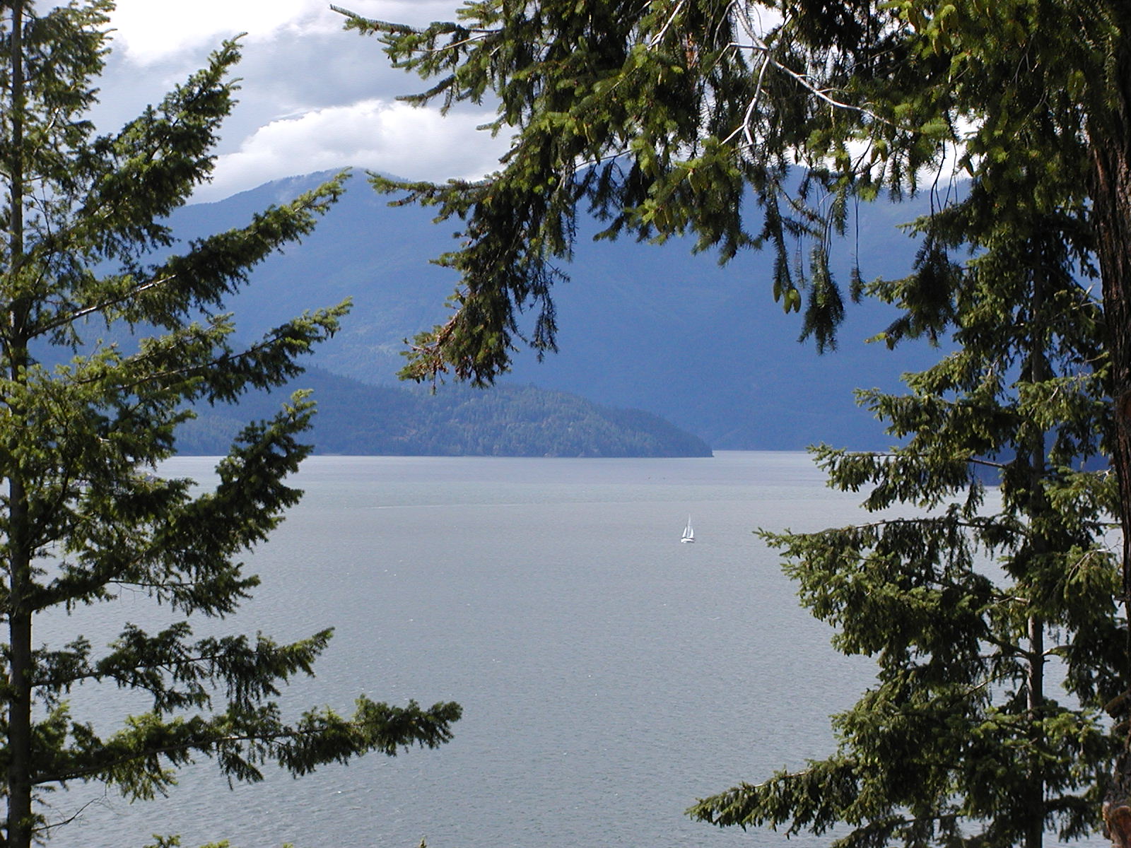
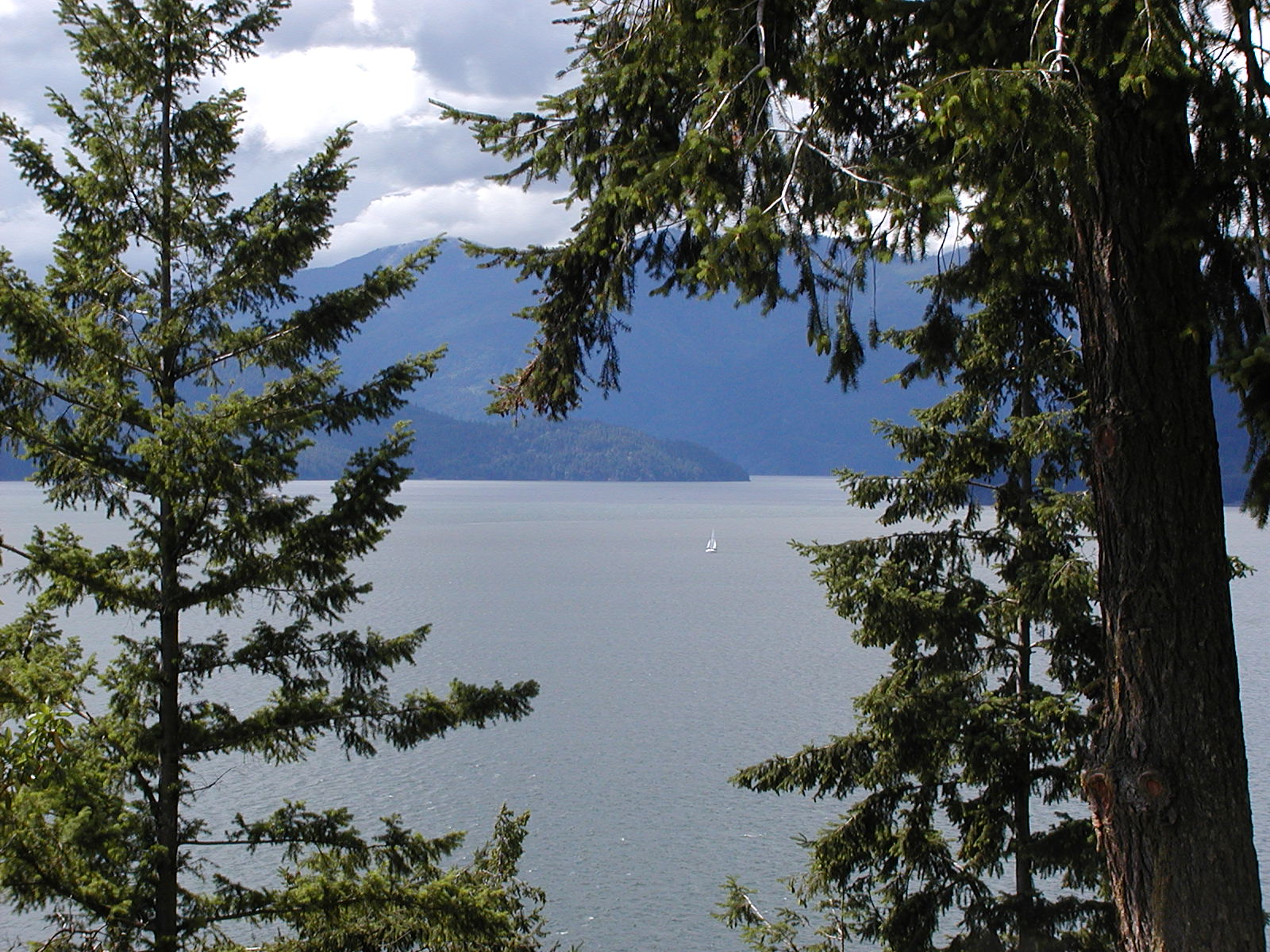
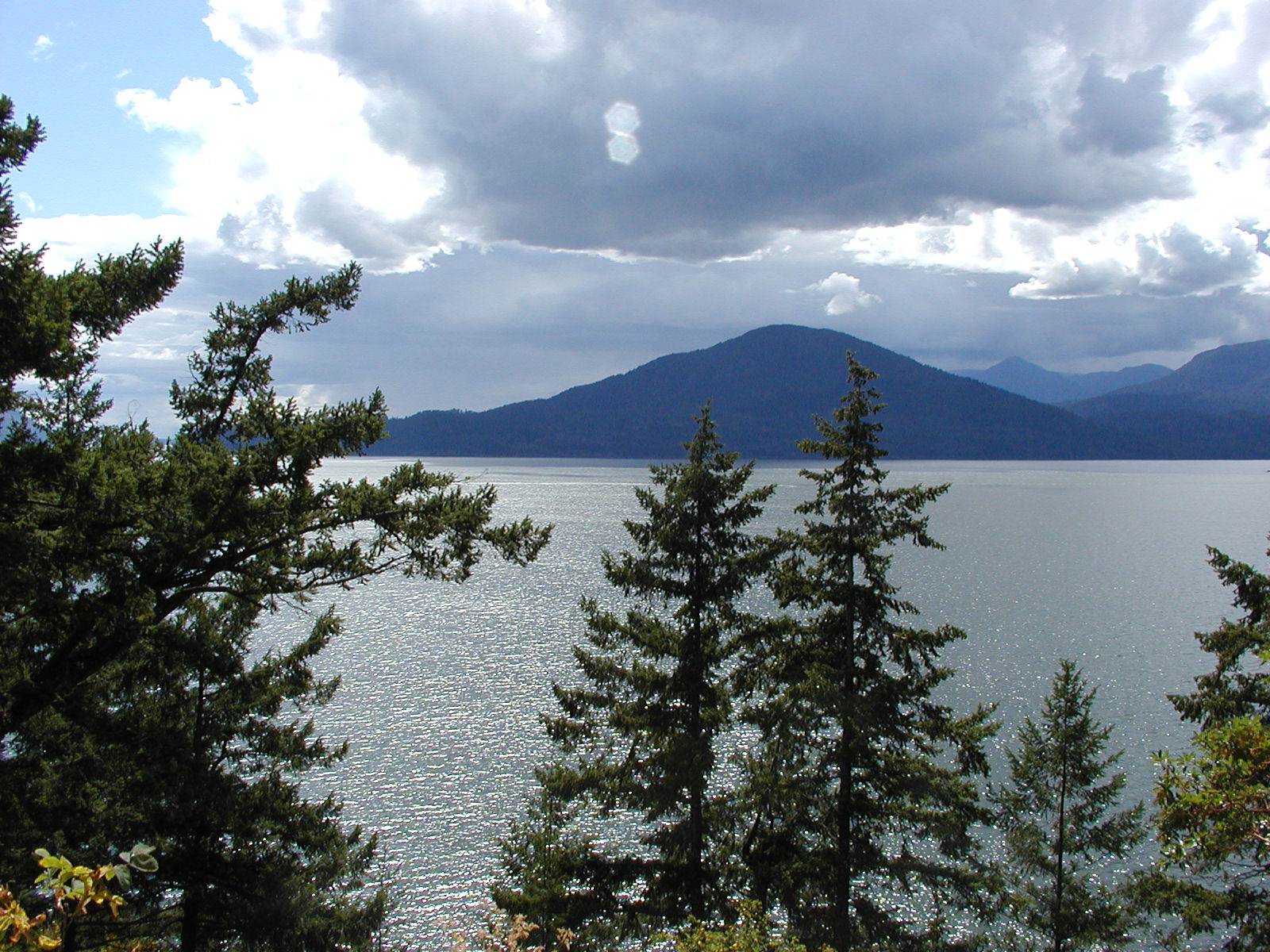
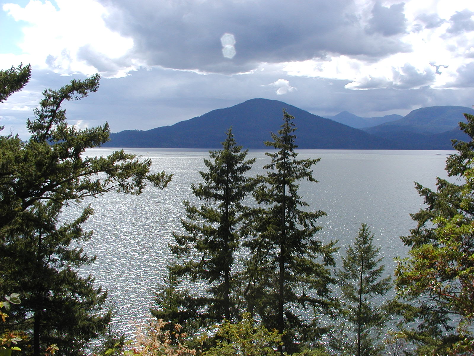
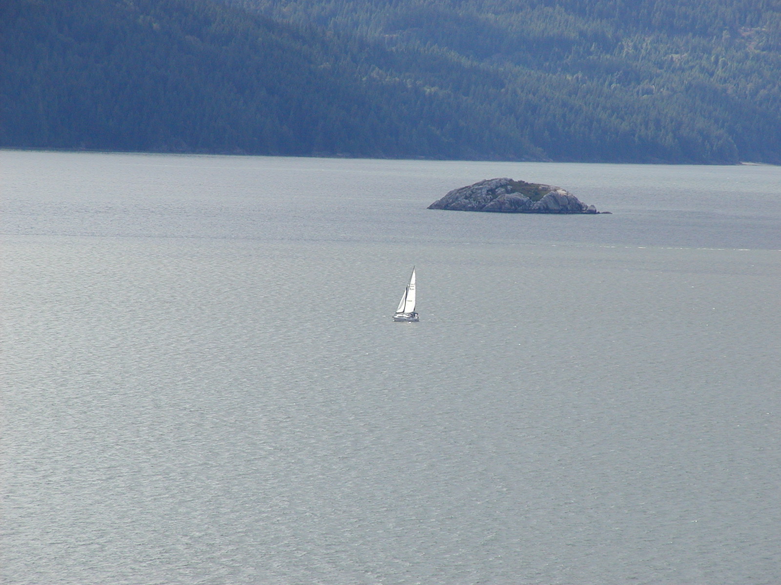
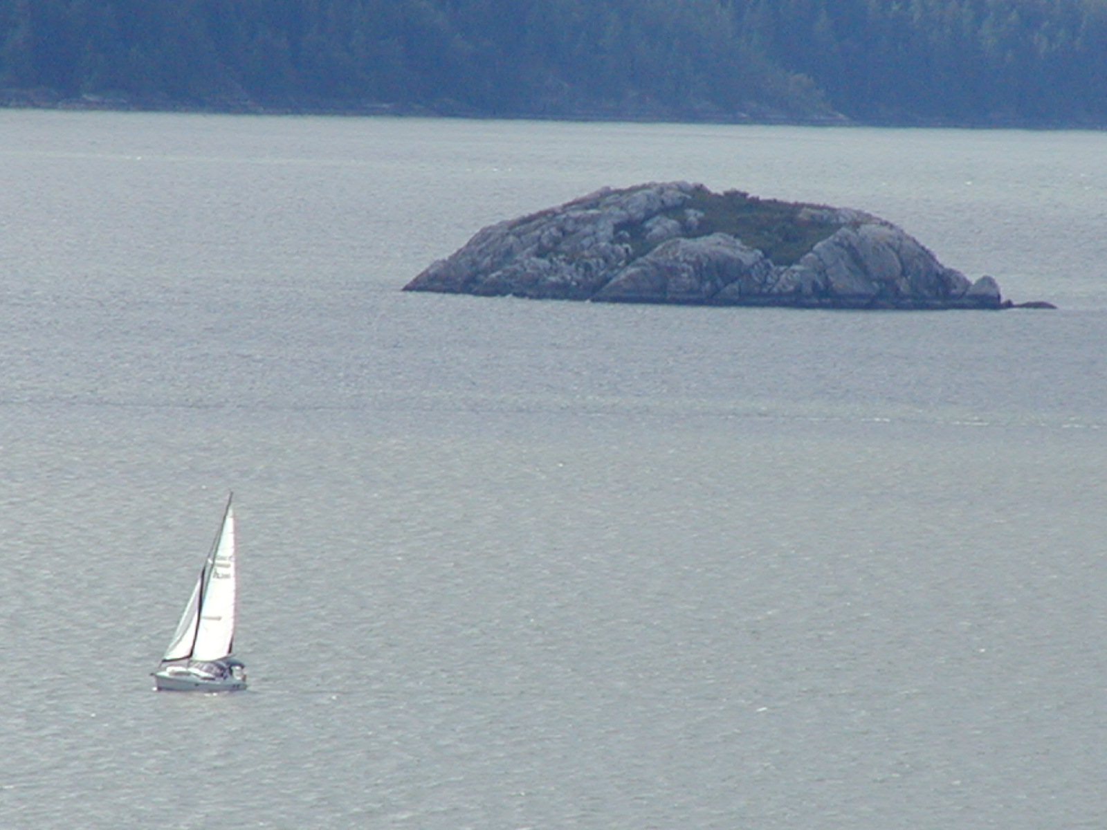
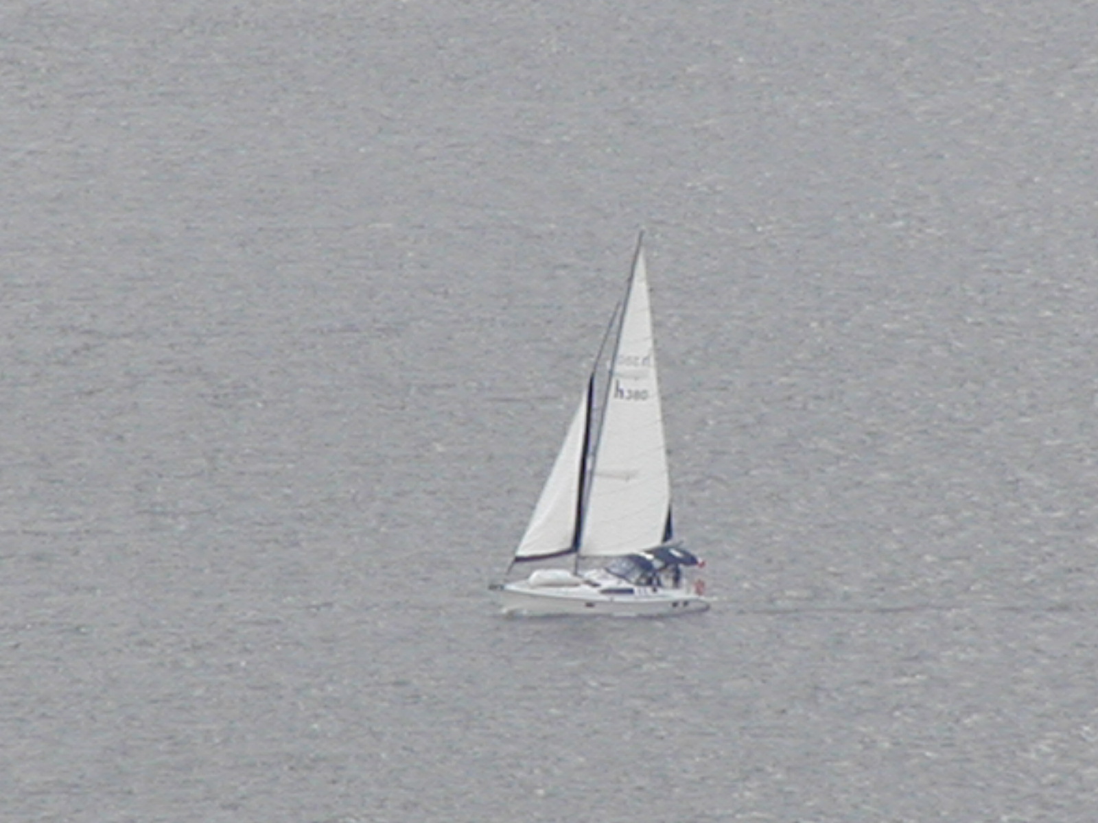
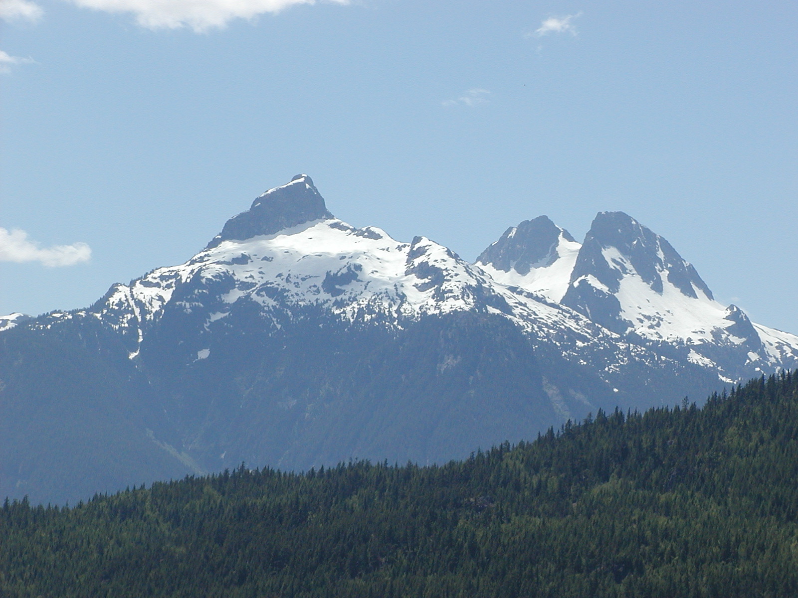
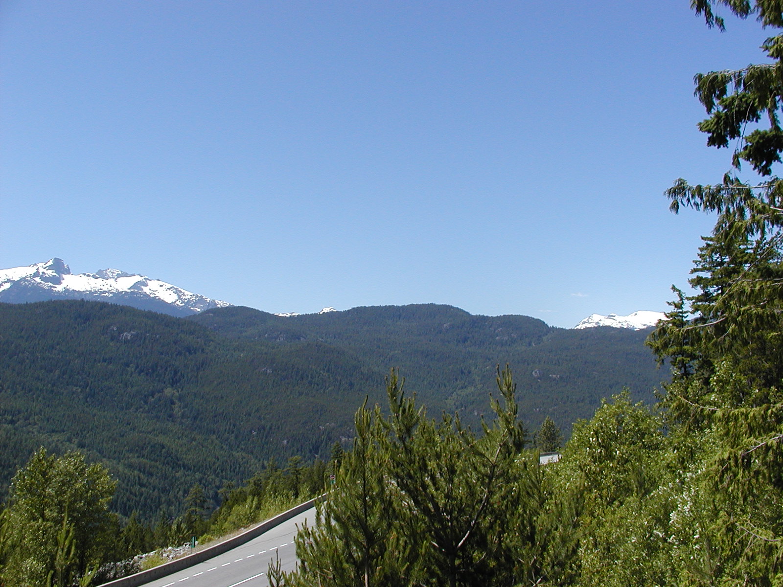
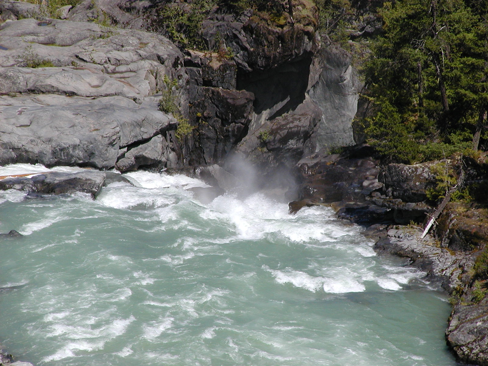
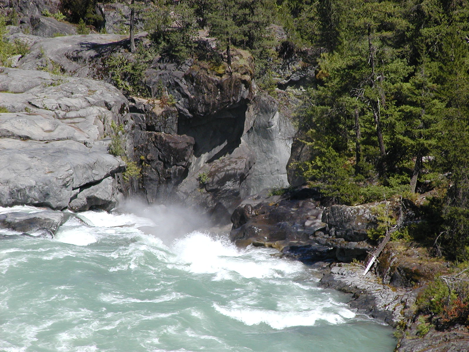
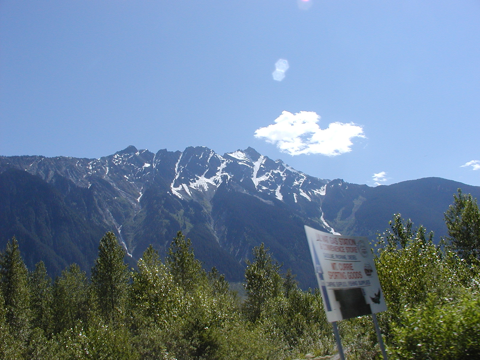
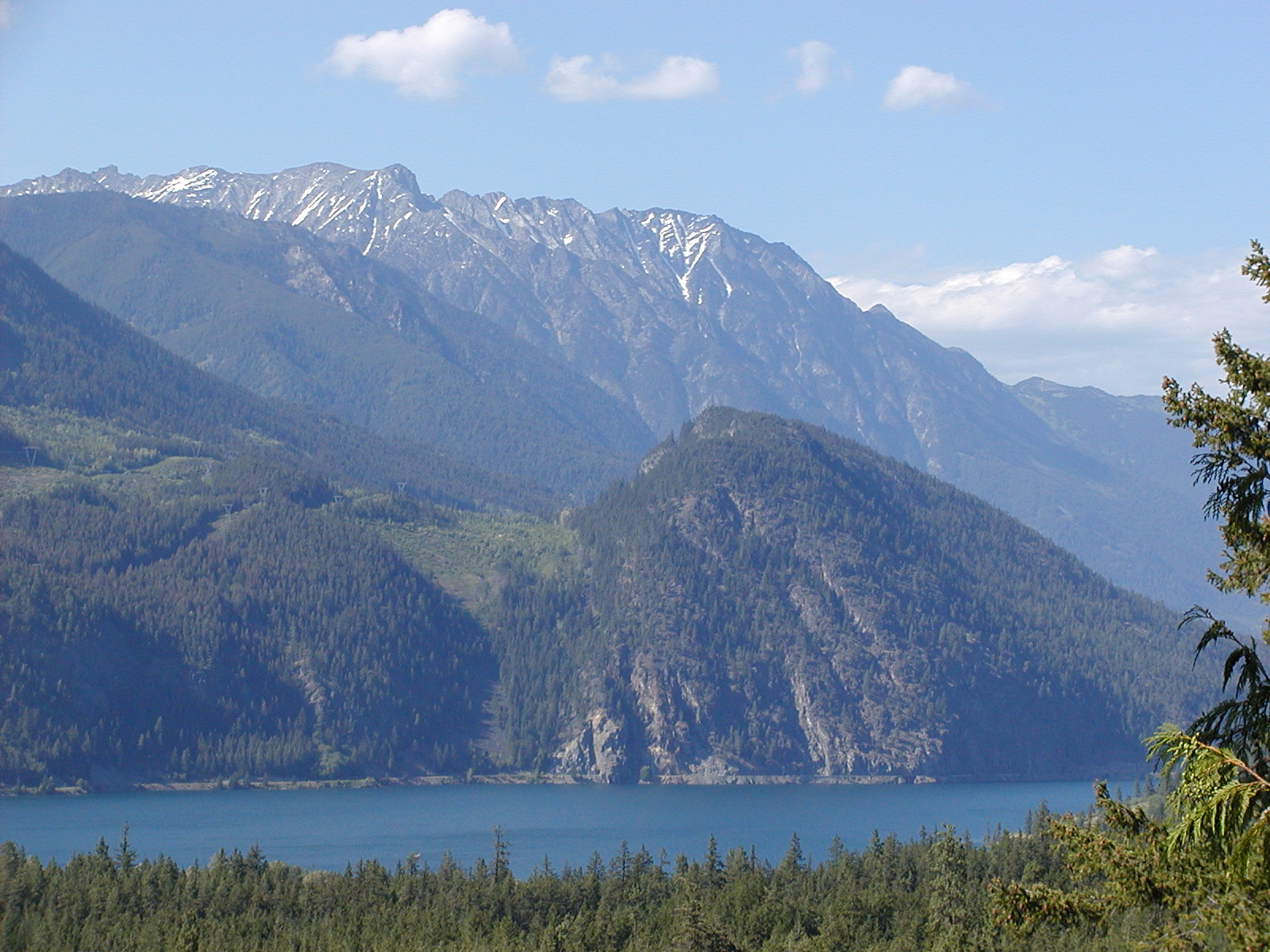
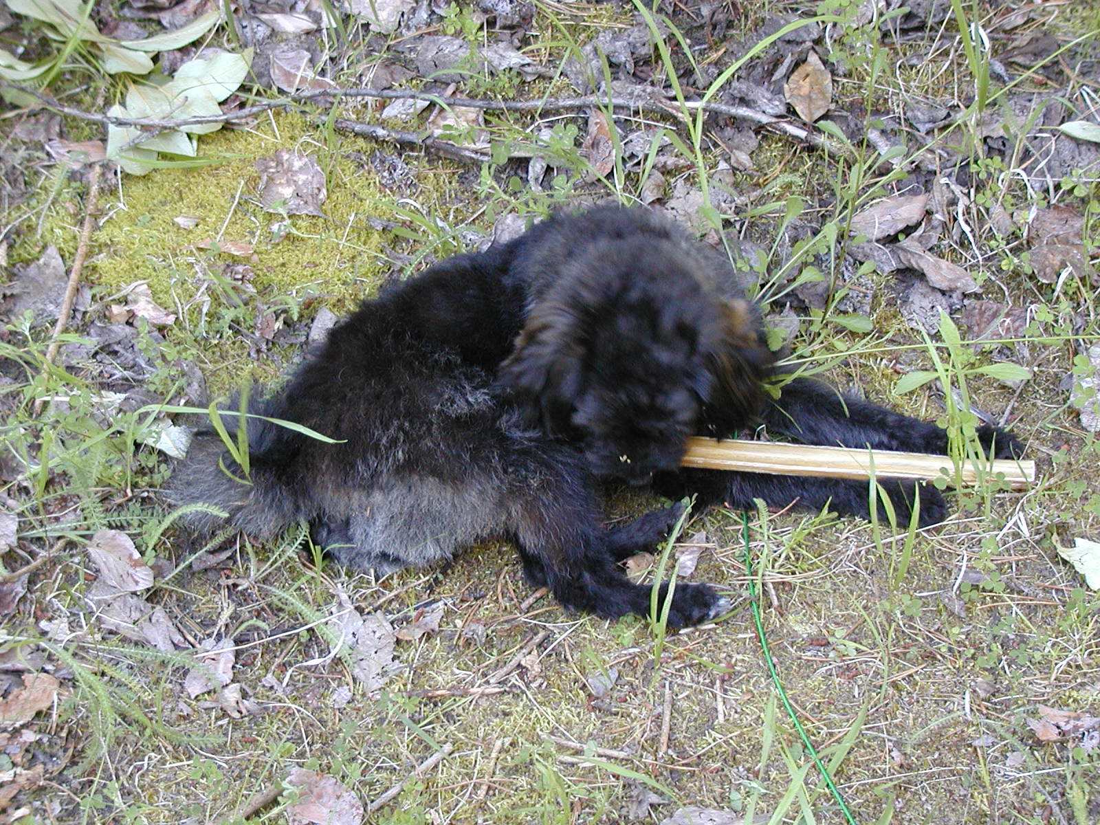
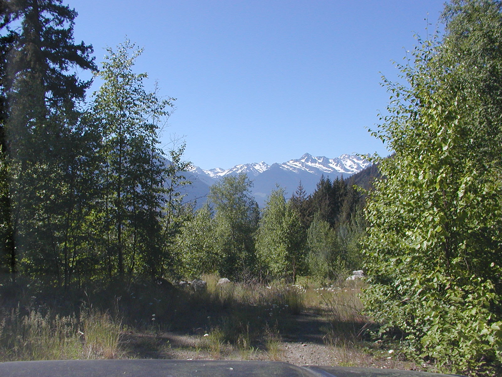
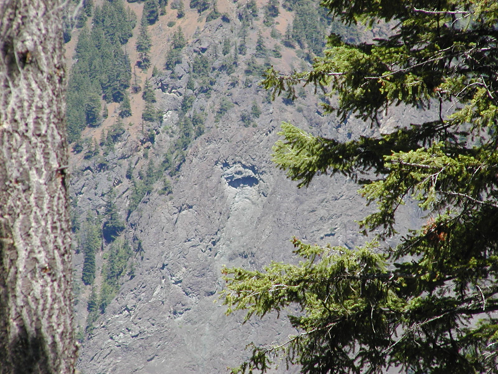
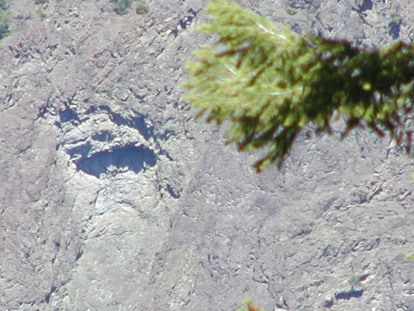
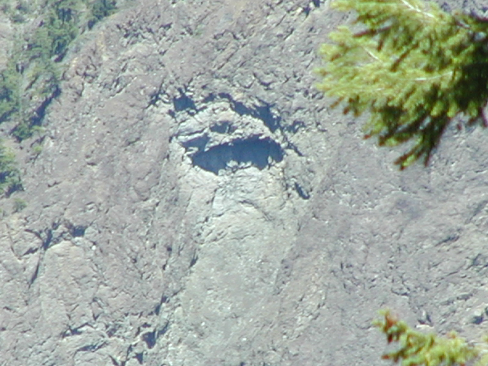
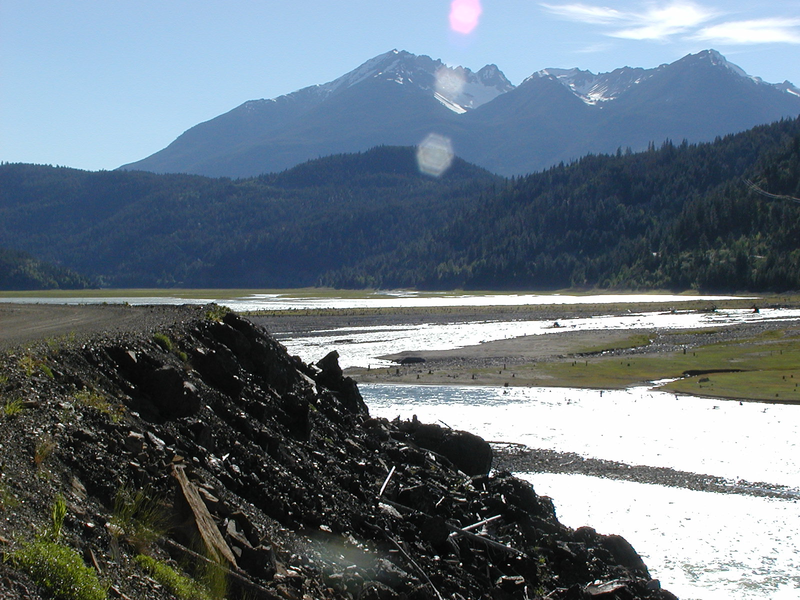
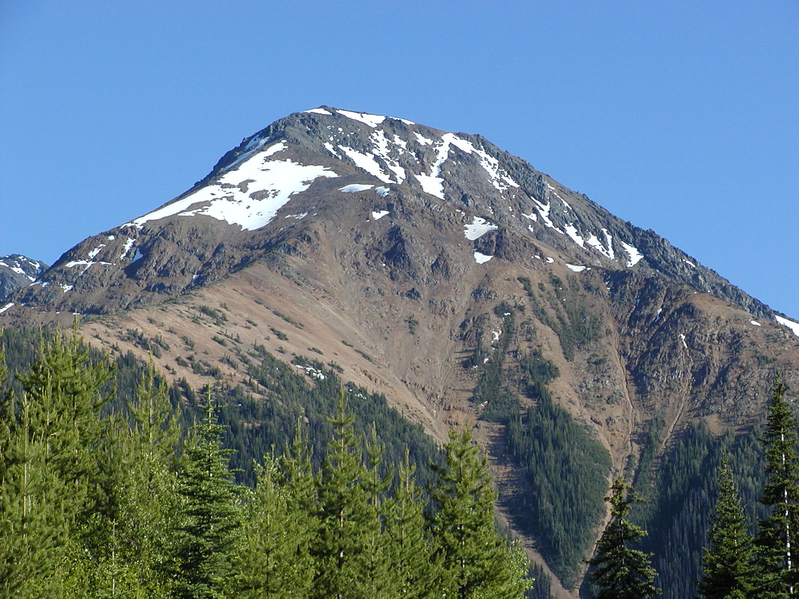
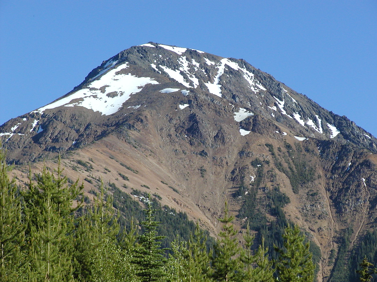
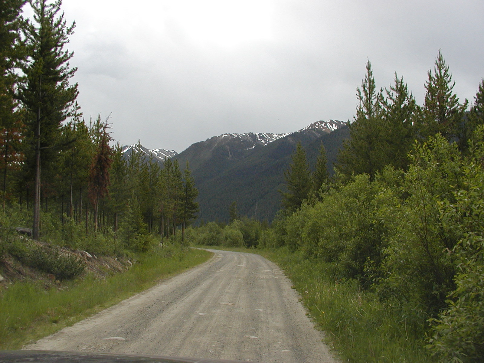
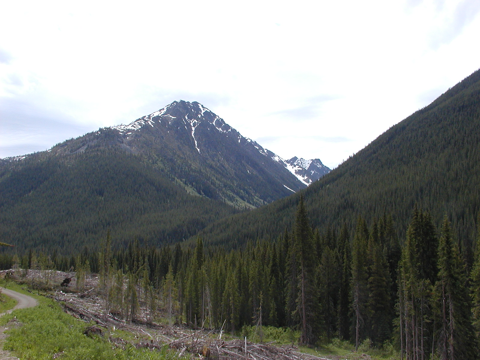
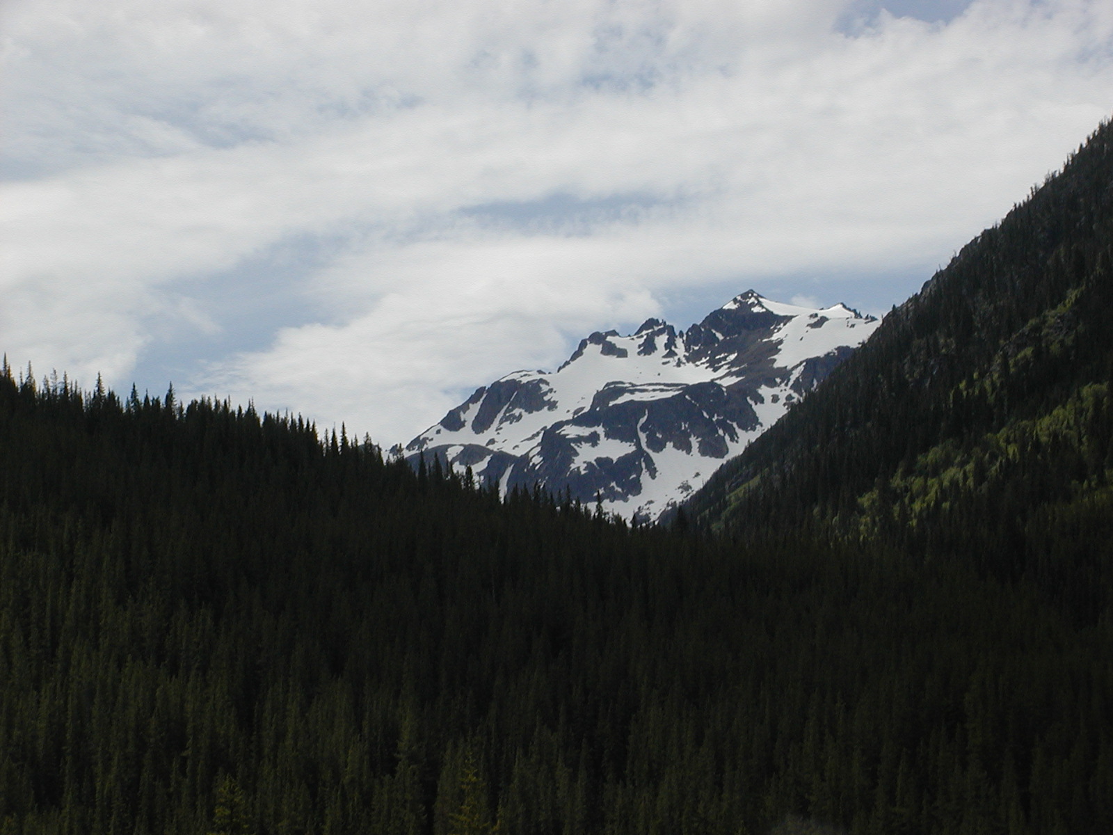
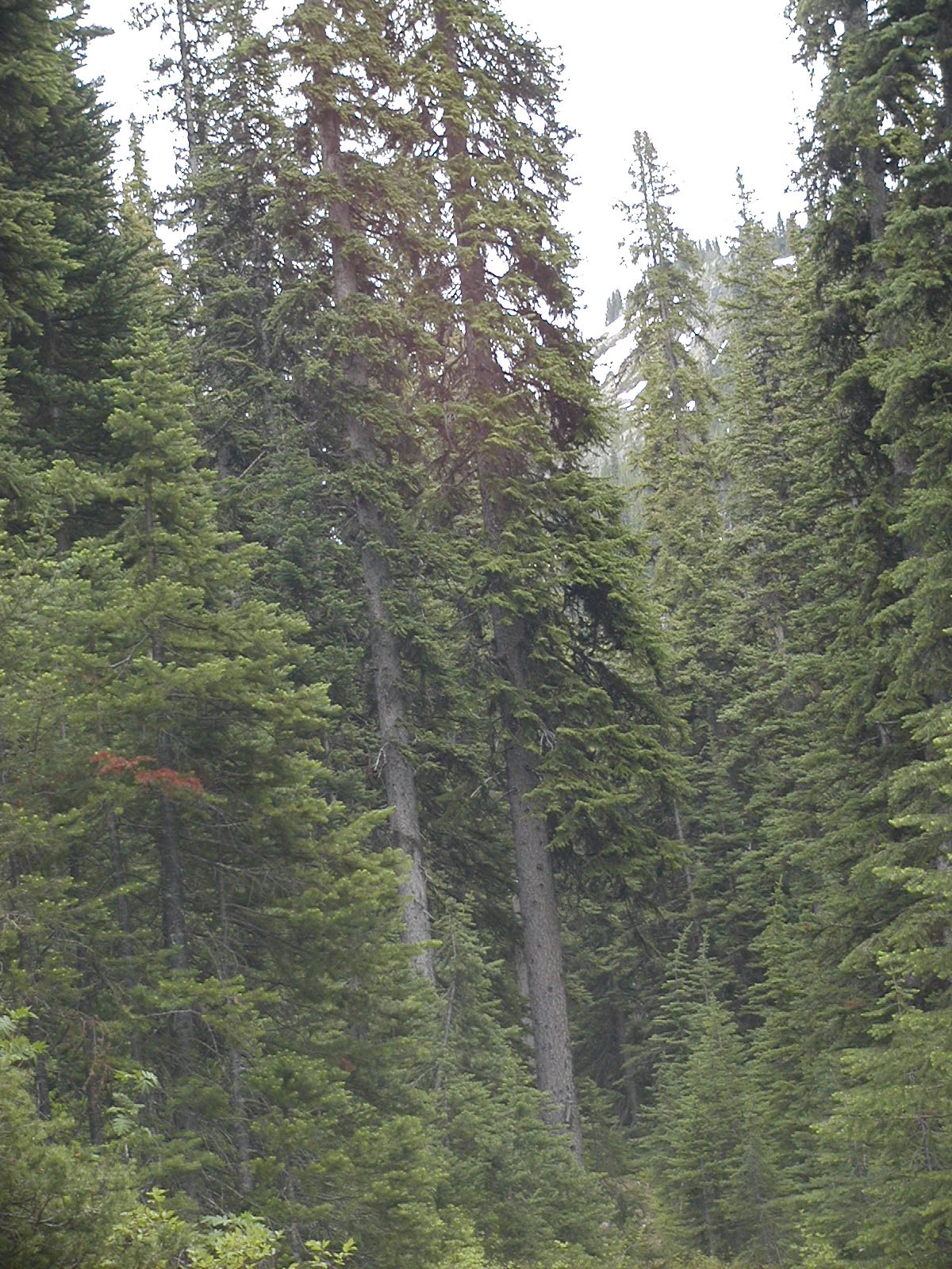
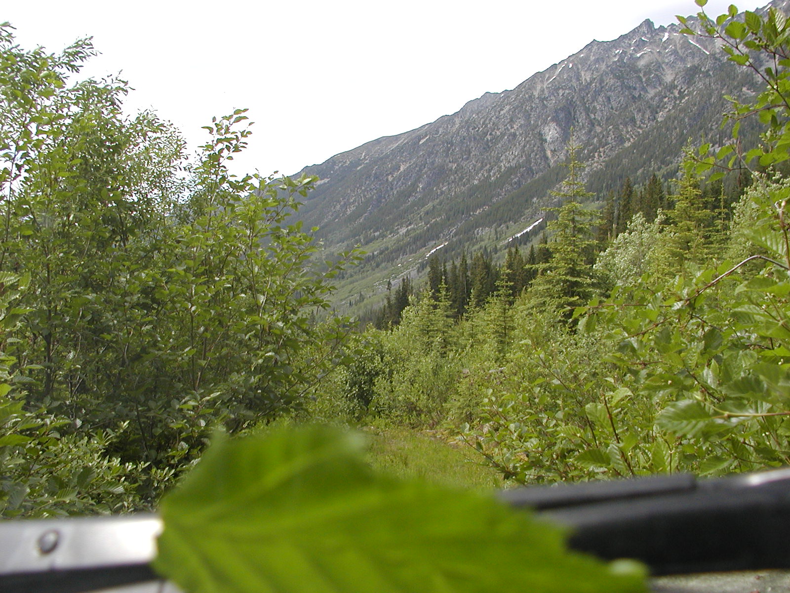
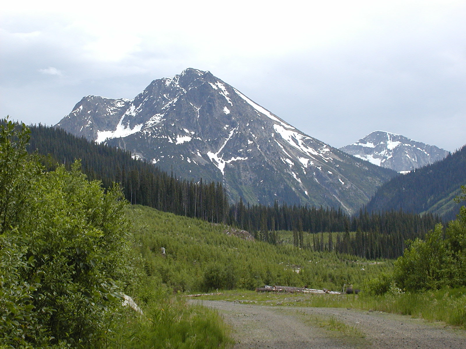
We realized later than sooner we must have missed our target on the top of Mission Ridge for the Nosebag Mtn FSR. The top of Mission Ridge by the Maintenance shed was at 1138m. We took the Carpenter South FSR just on the north side of the ridge to the west. Carpenter South FSR (Lillooet Ainsworth Division) freq: 152.960 Active Logging it says; entrance is at 50.45.024 // 122.14.268. We travelled along for a while seeing yet another bear, this time a black one full grown. Lots of bear poop on the roads too. We stopped at a very small creek at about 4 kms and had lunch, but not before setting off a bear banger JUST in case. The road got progressively worse as we travelled and it seemed clear that not much recent logging had been done along it as we had difficulty in some places getting by rocks and such. The road terminated at about 14 kms so we turned tail and headed back. We spotted a couple of interesting rock formation across the lake and tried to zoom in on them.
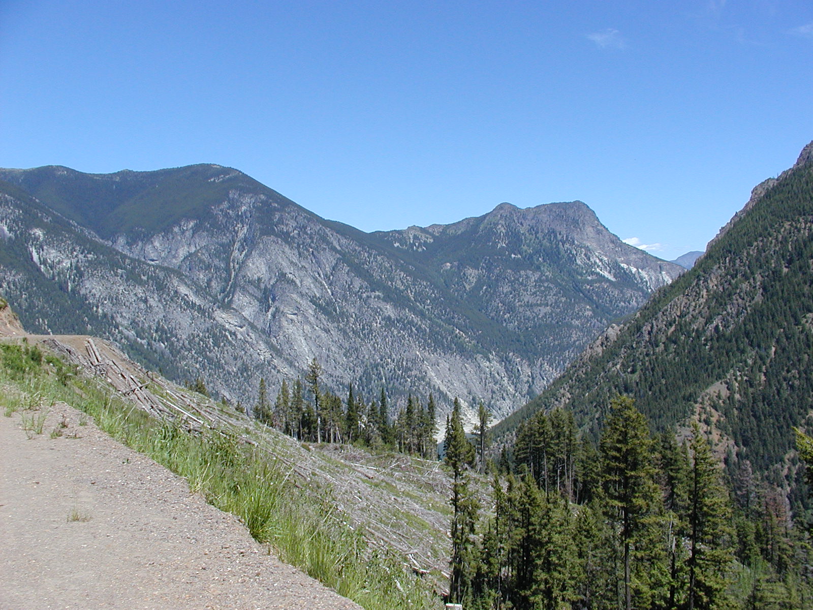

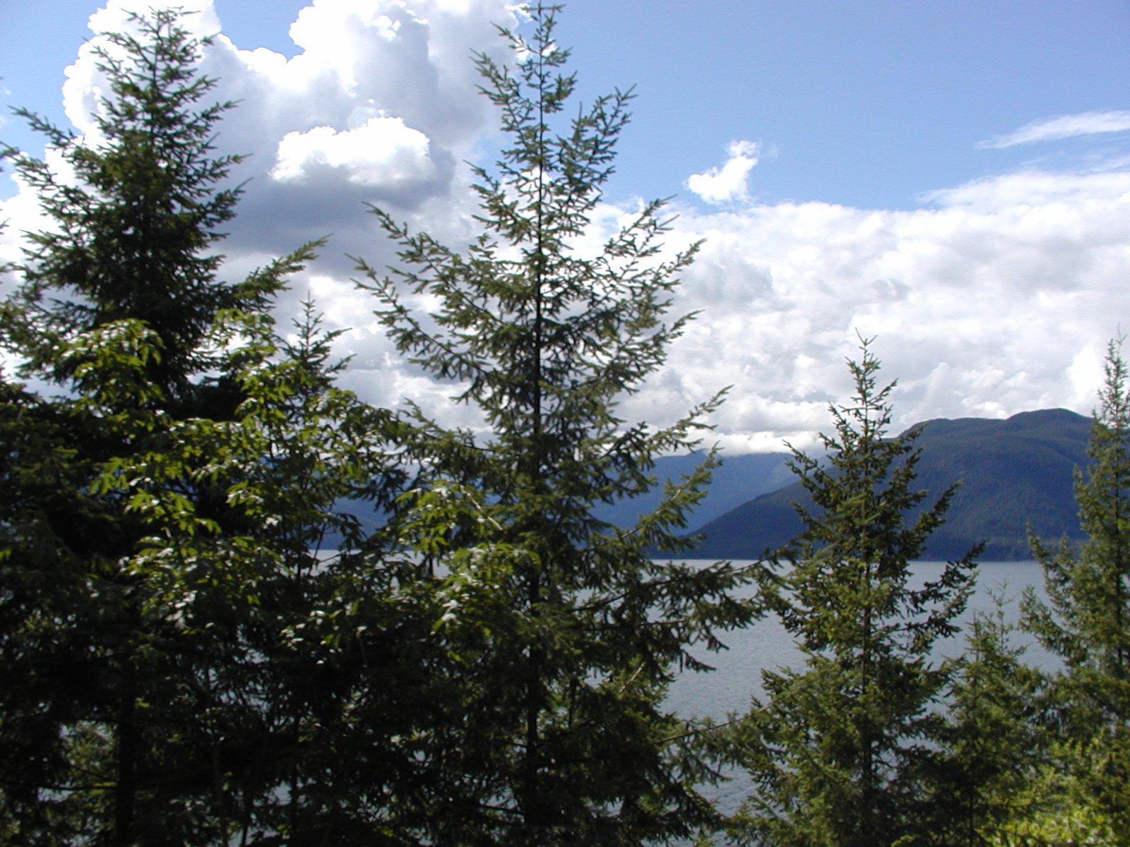
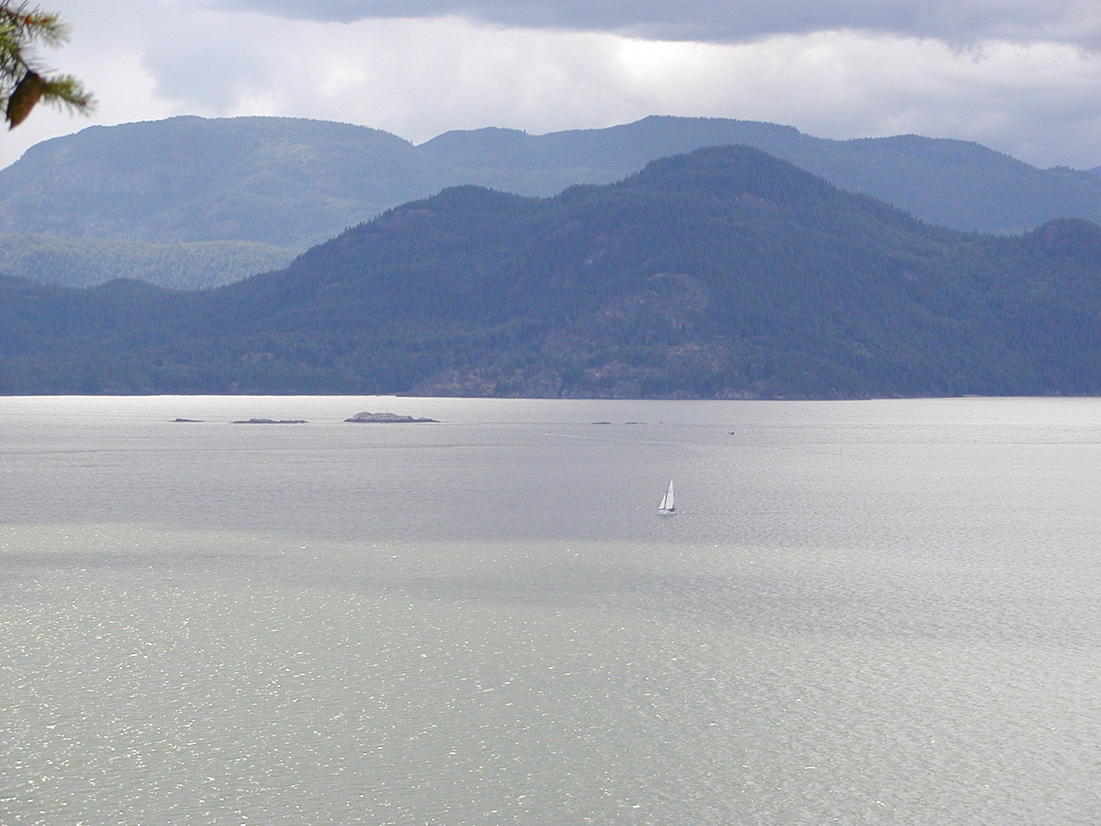
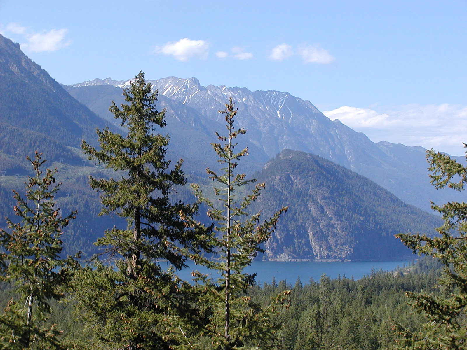
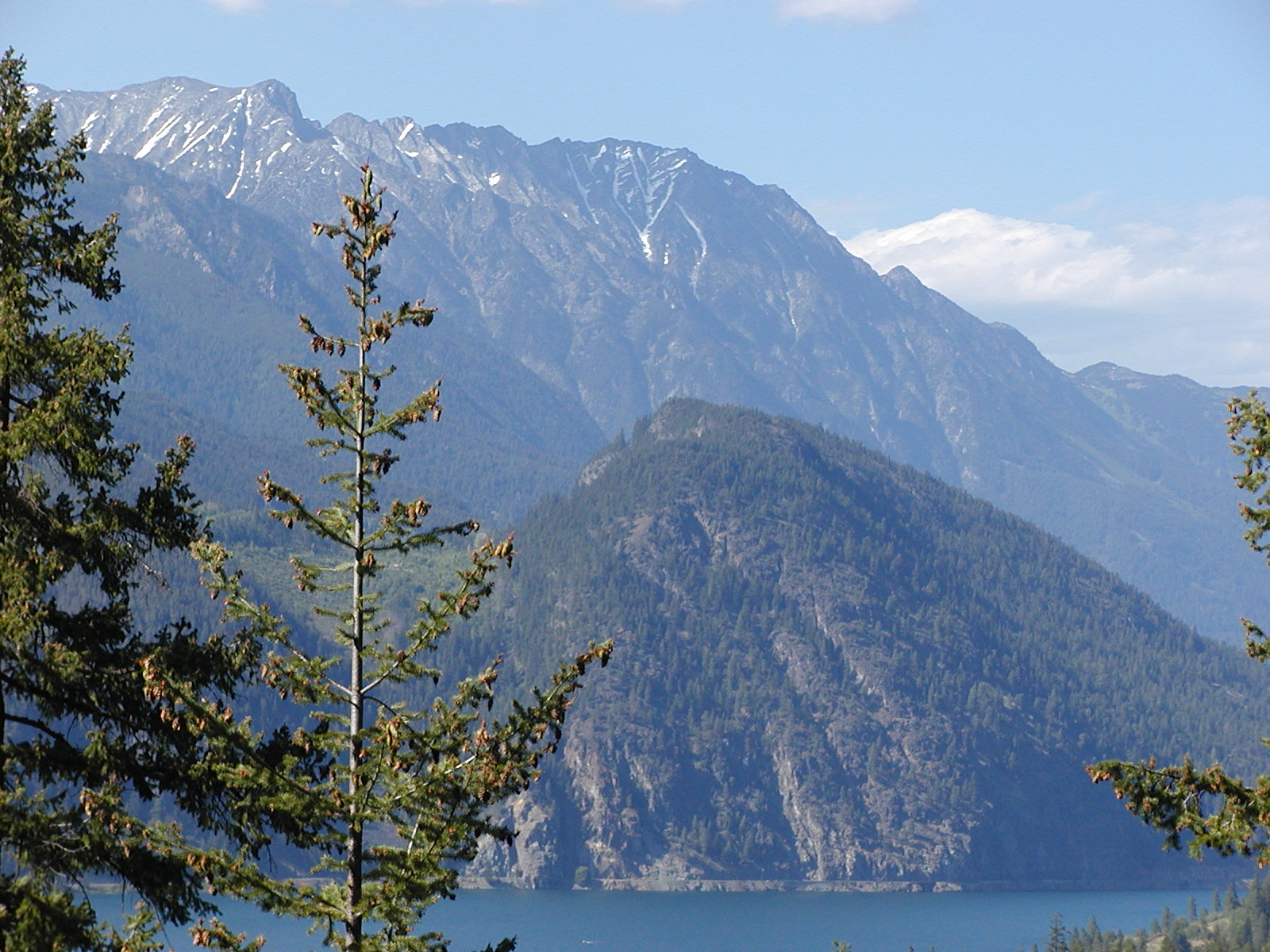
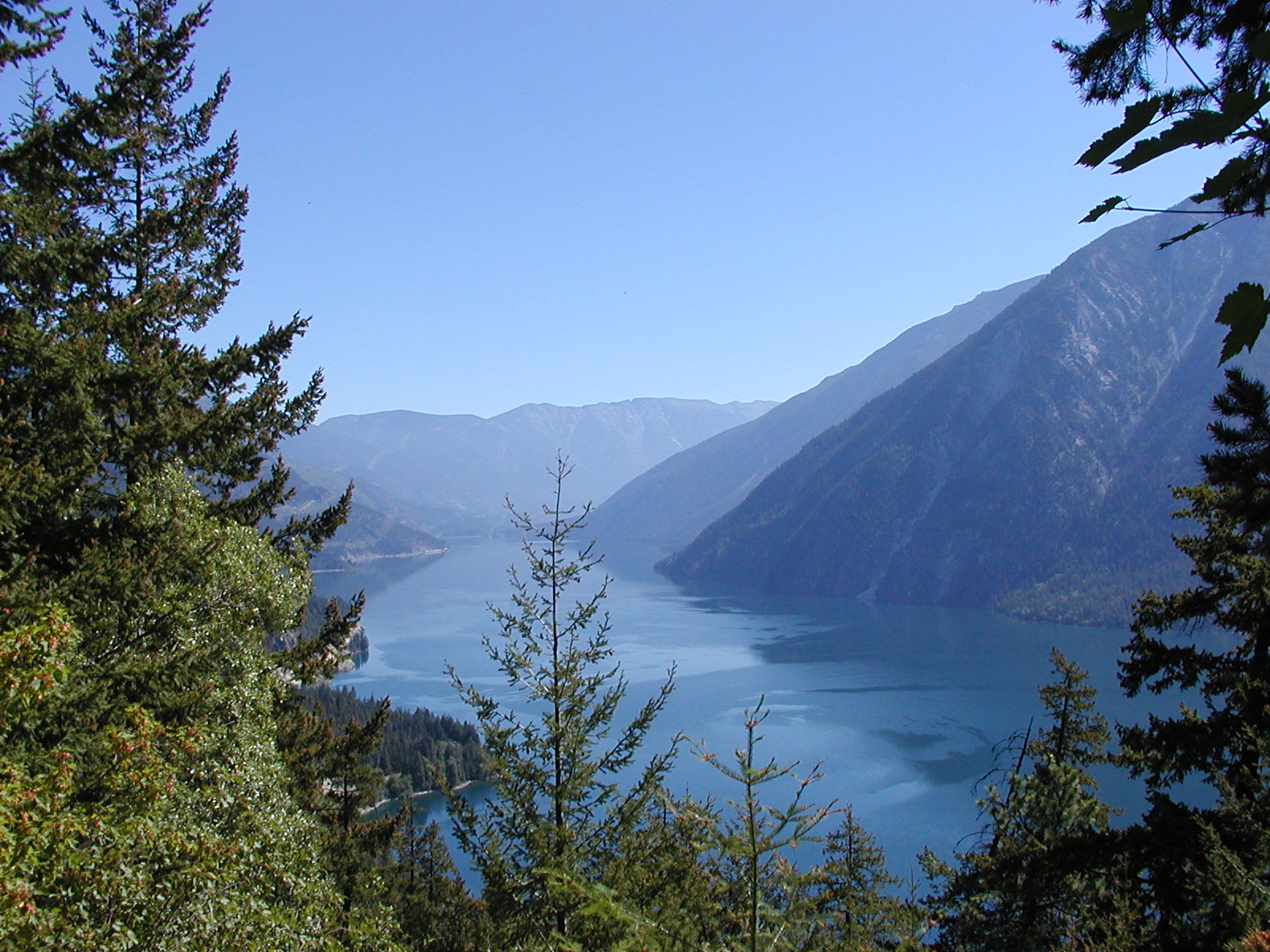
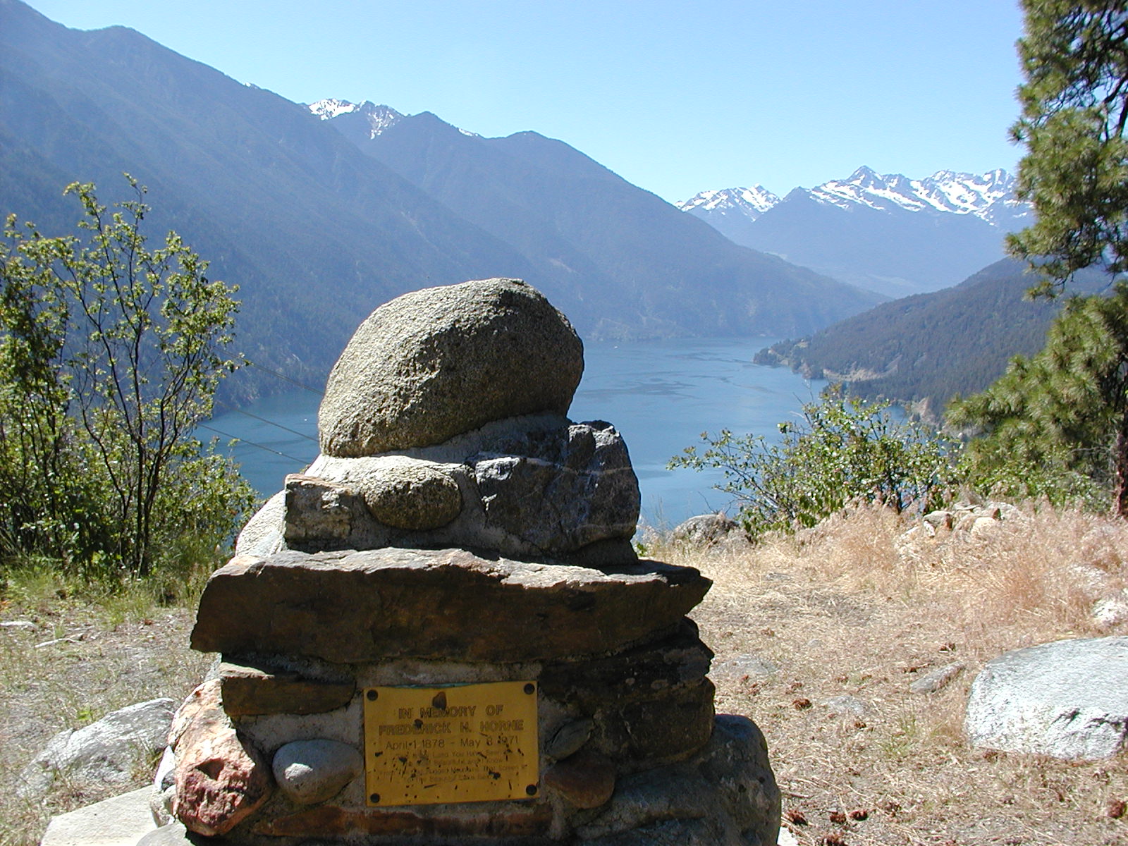
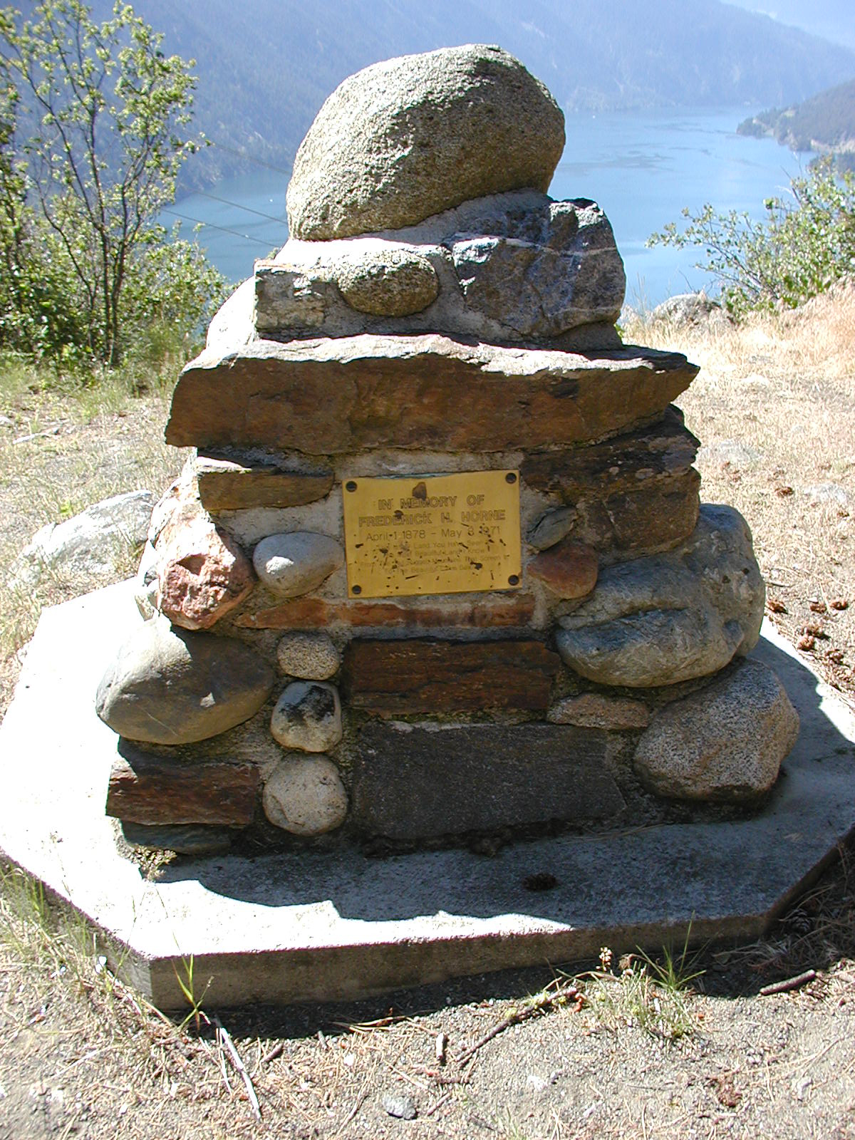
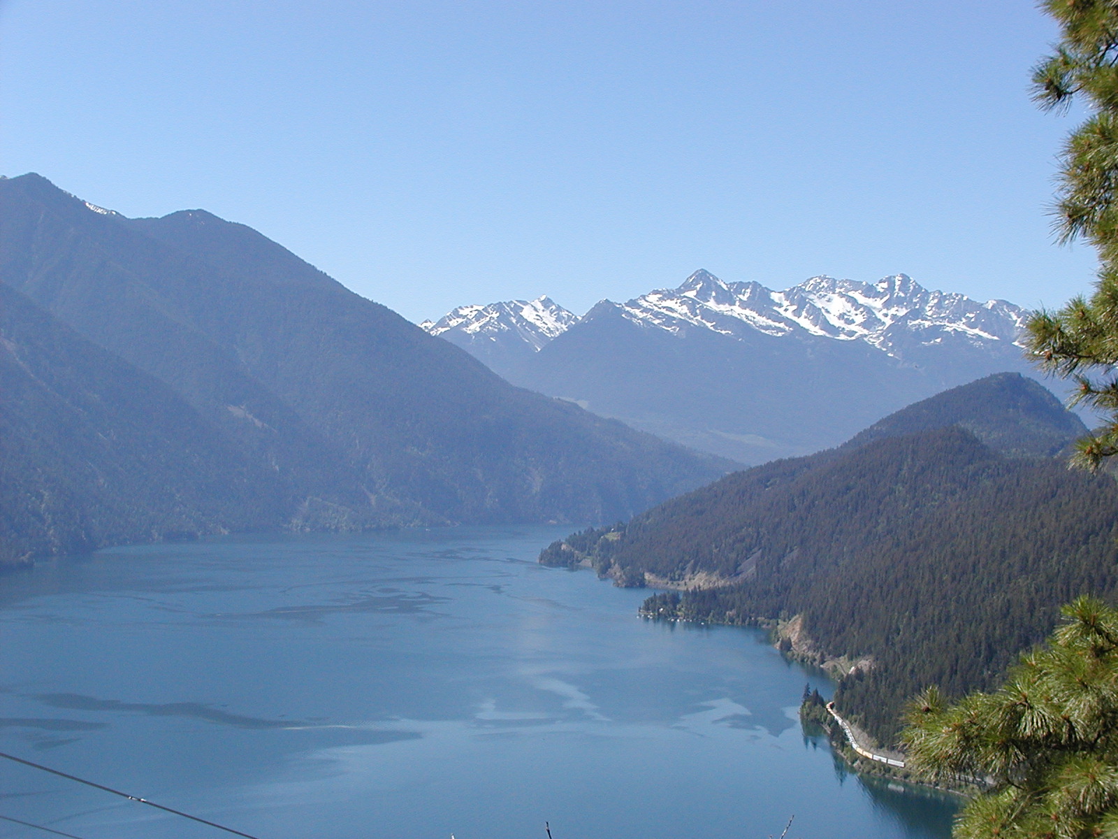
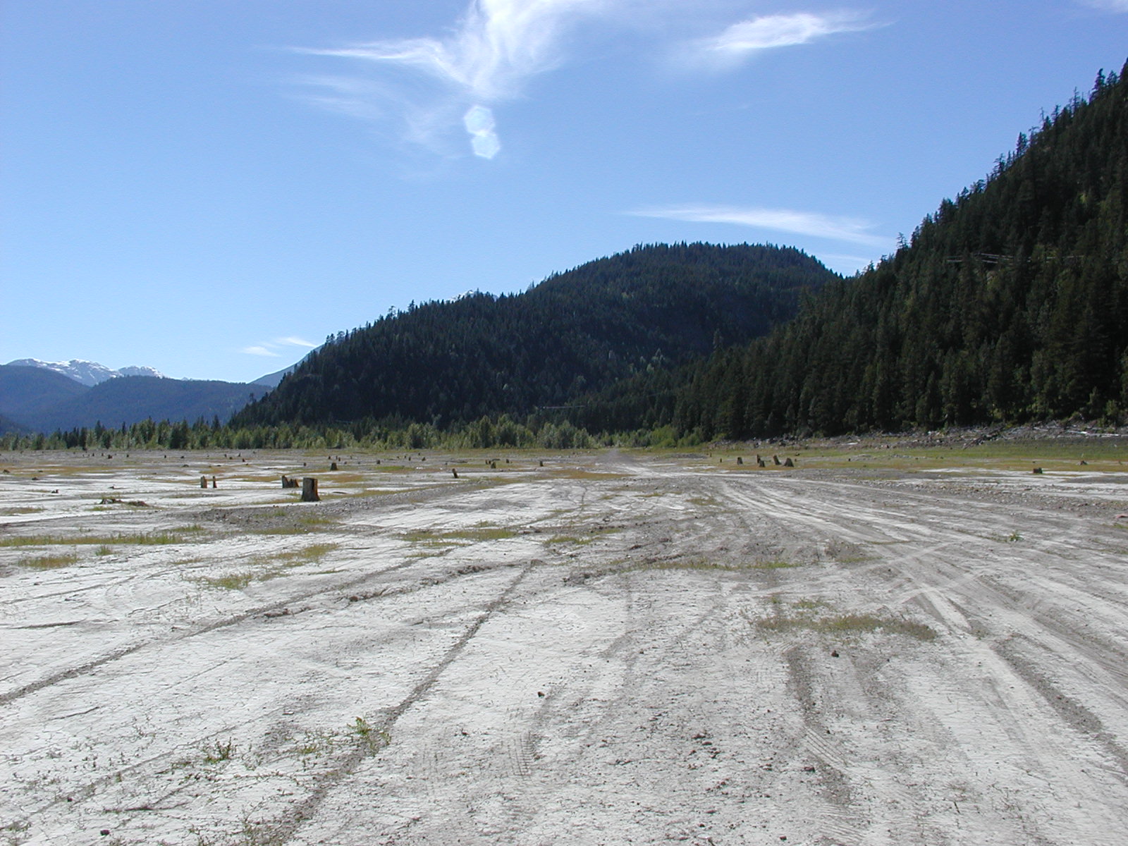
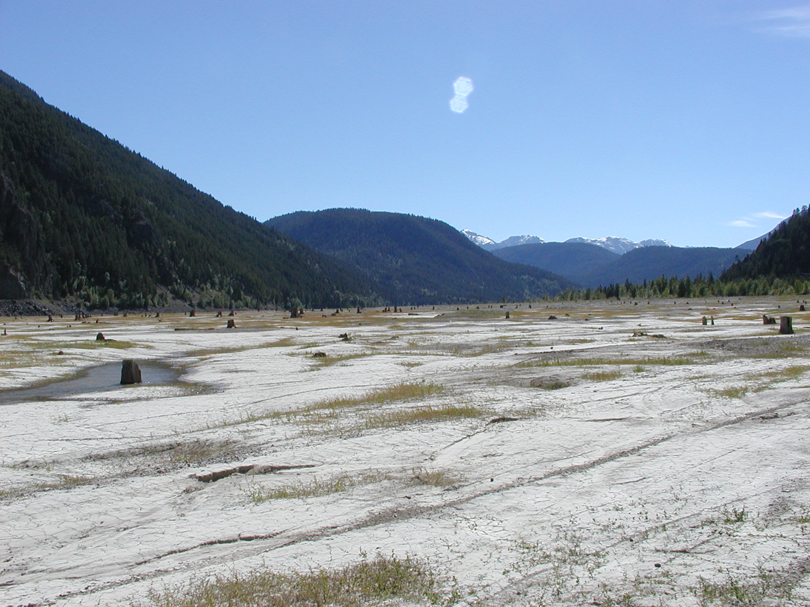
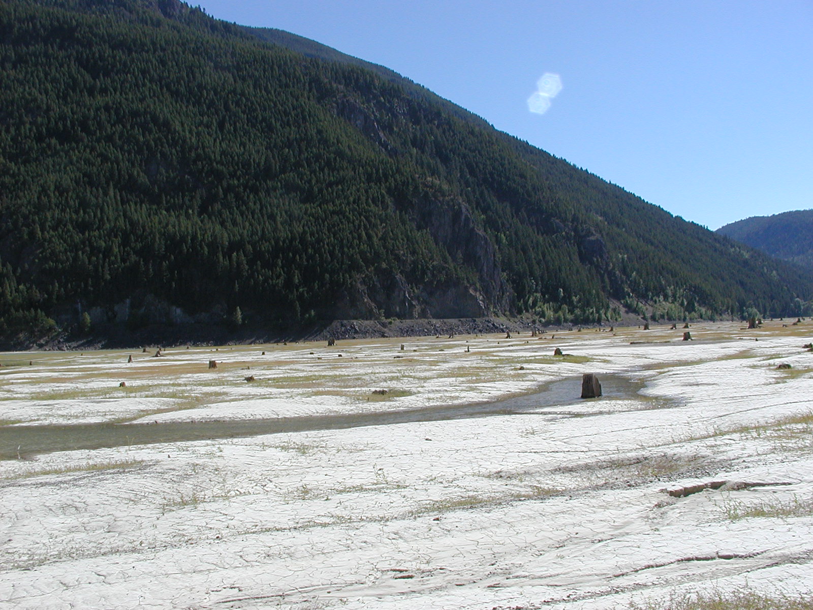
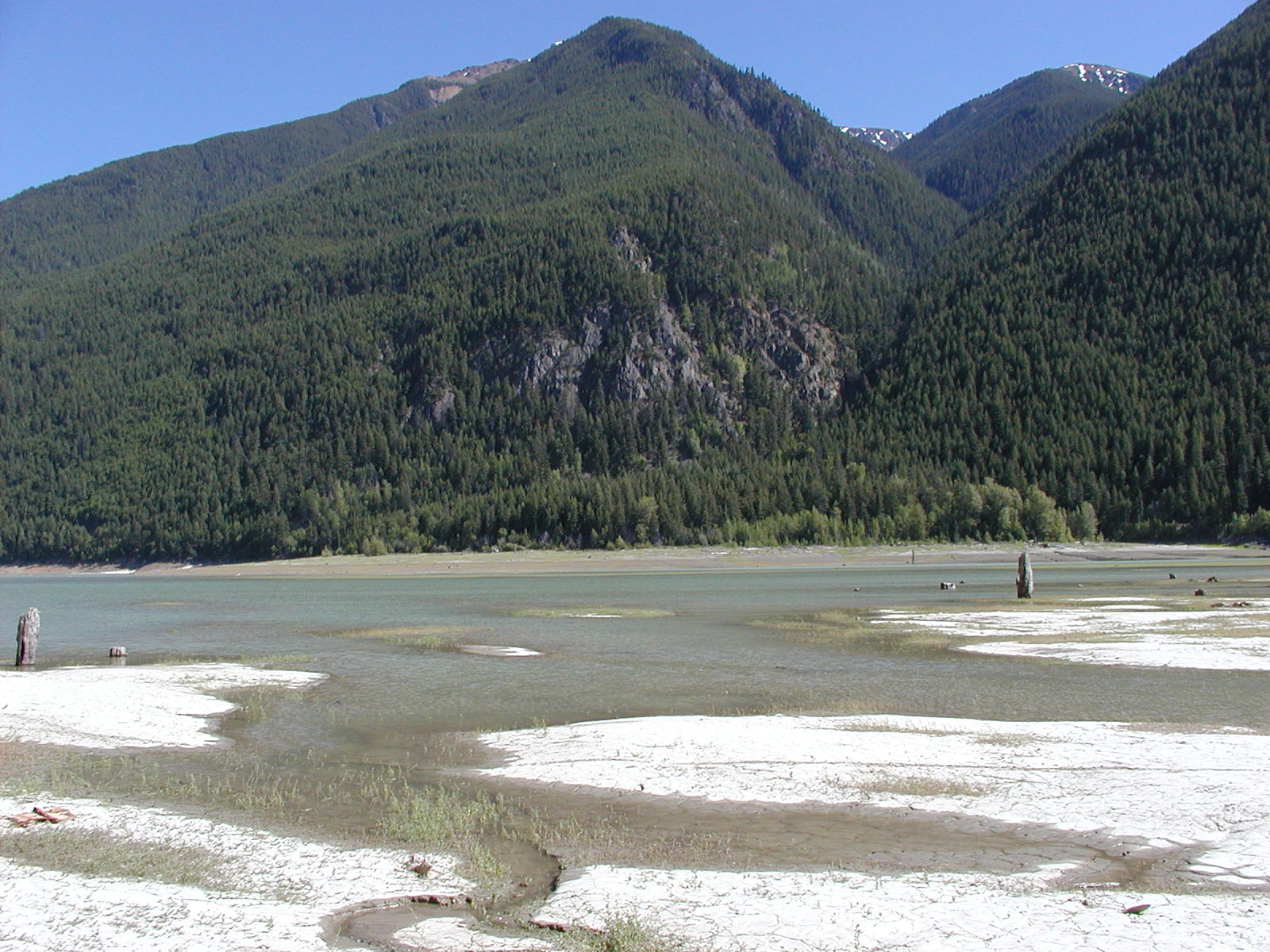
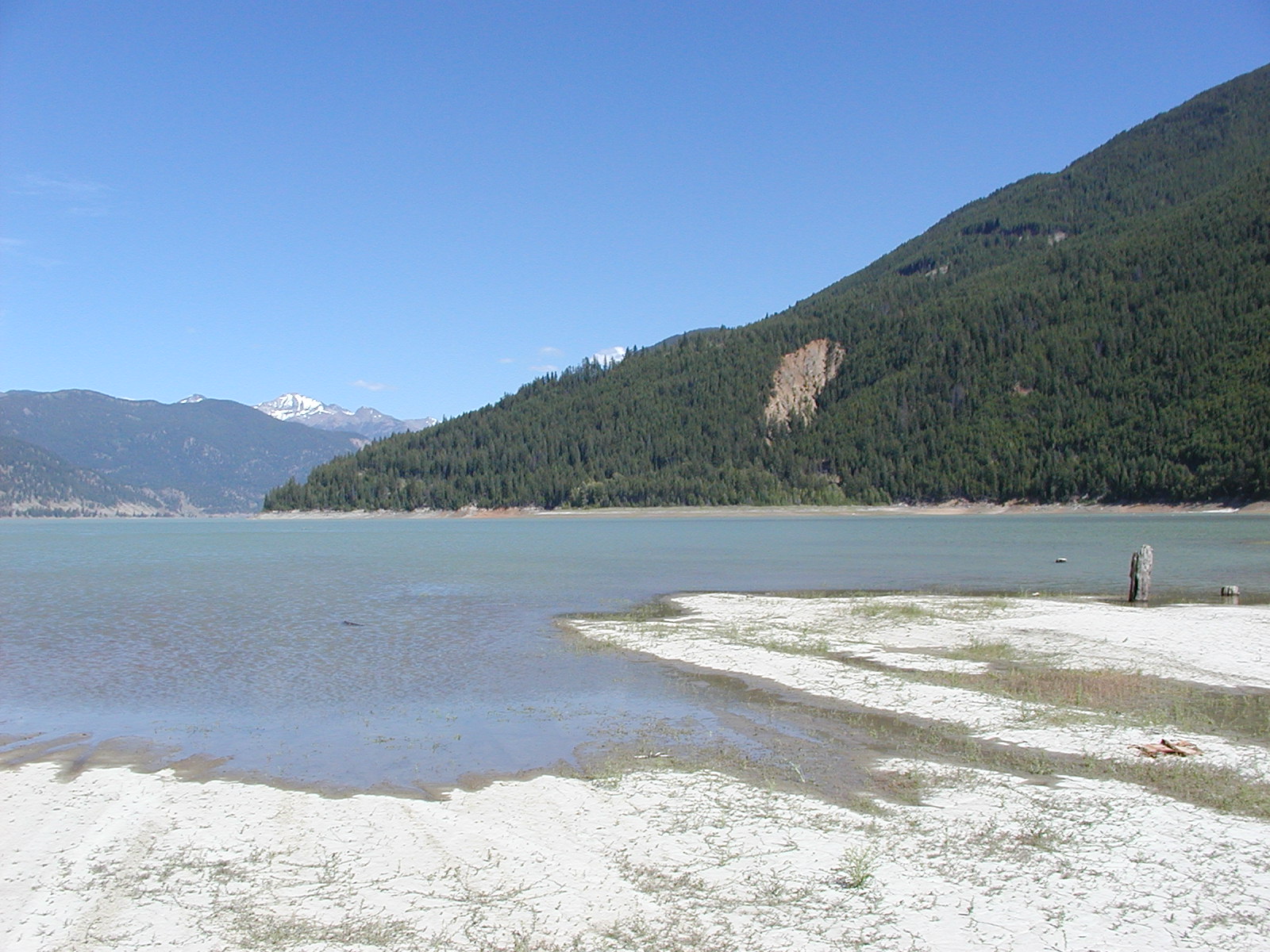
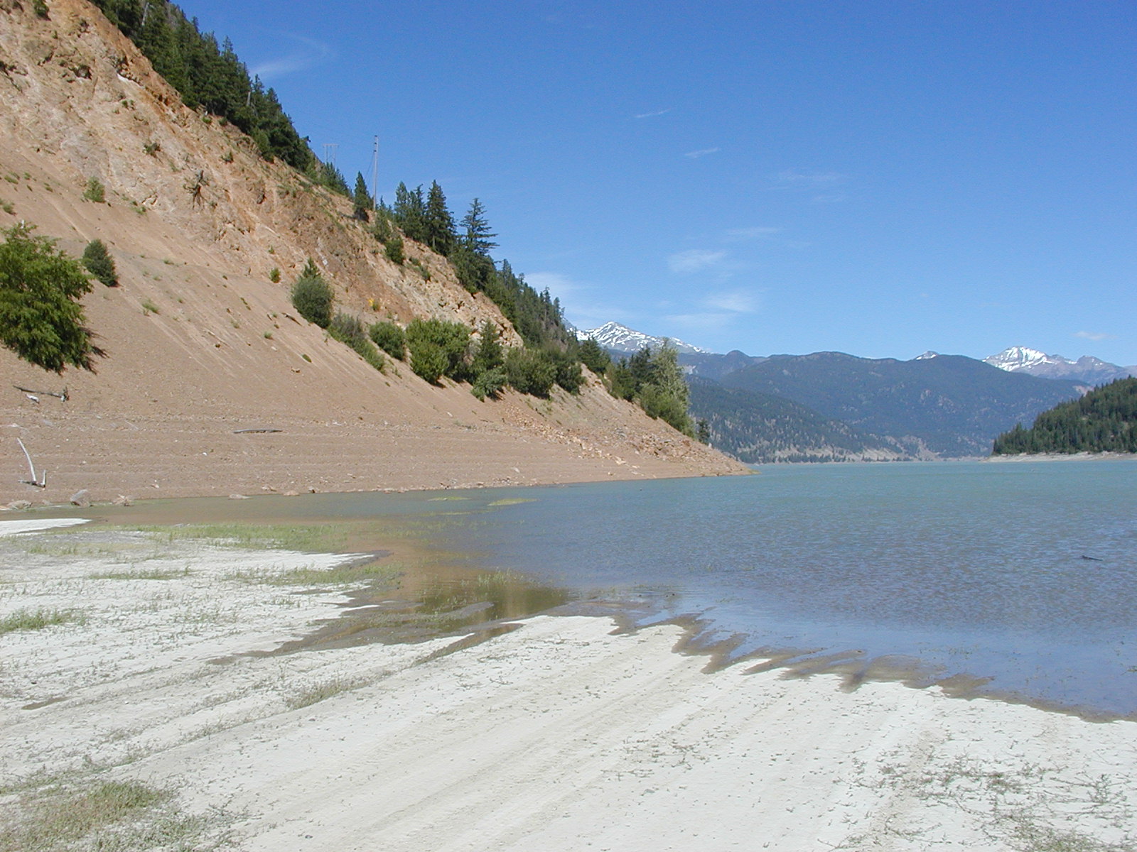
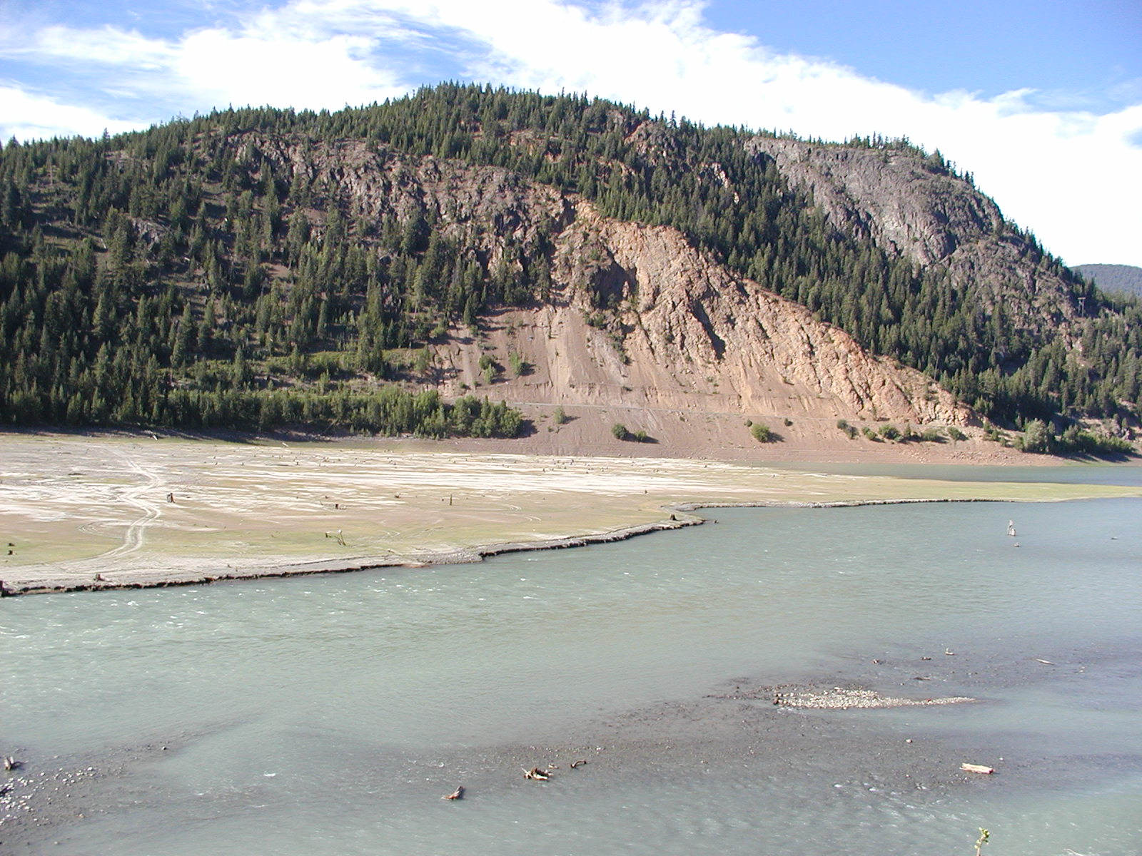
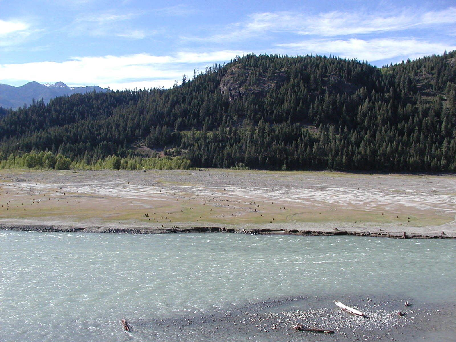
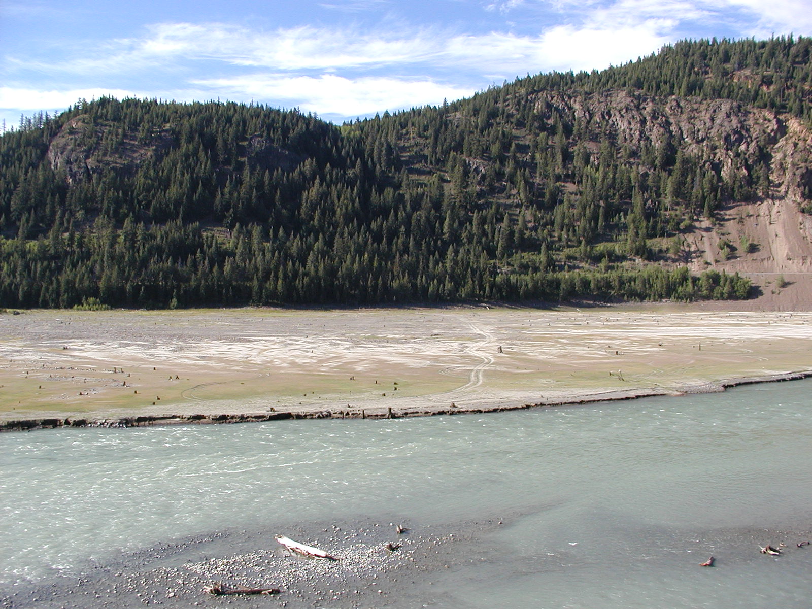
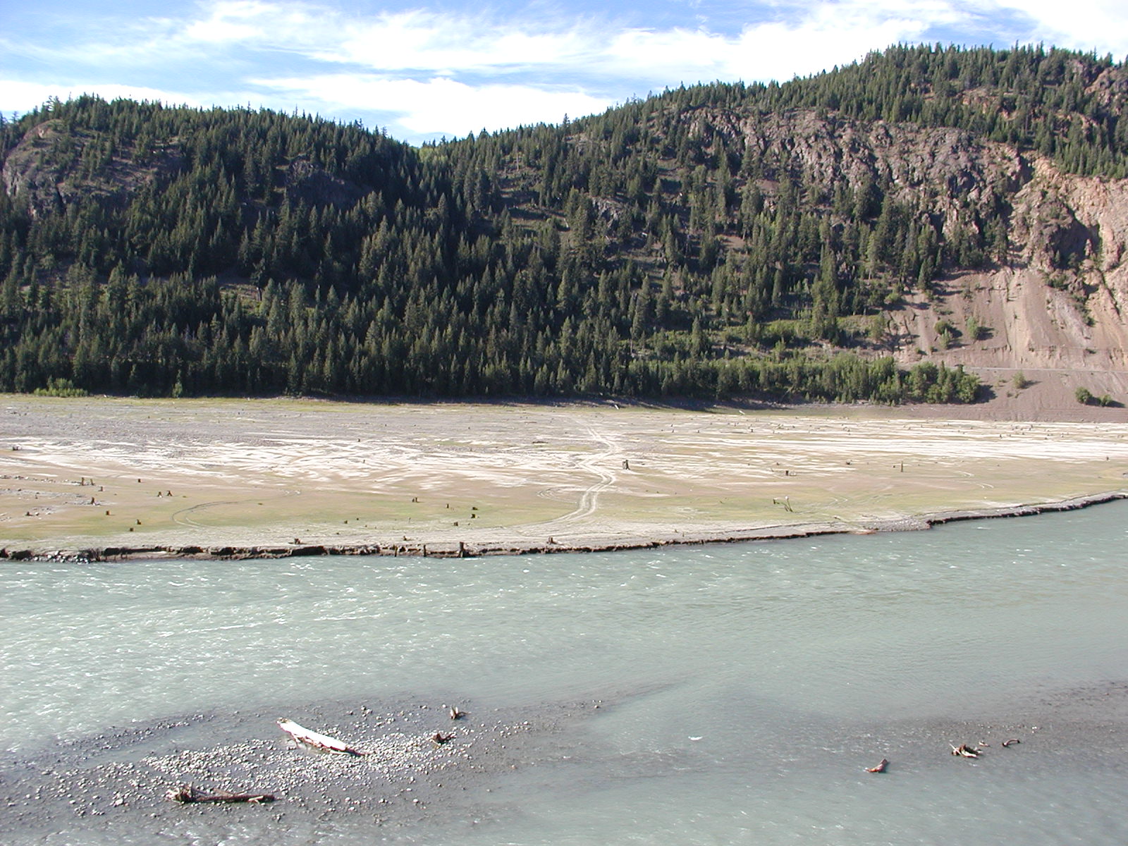
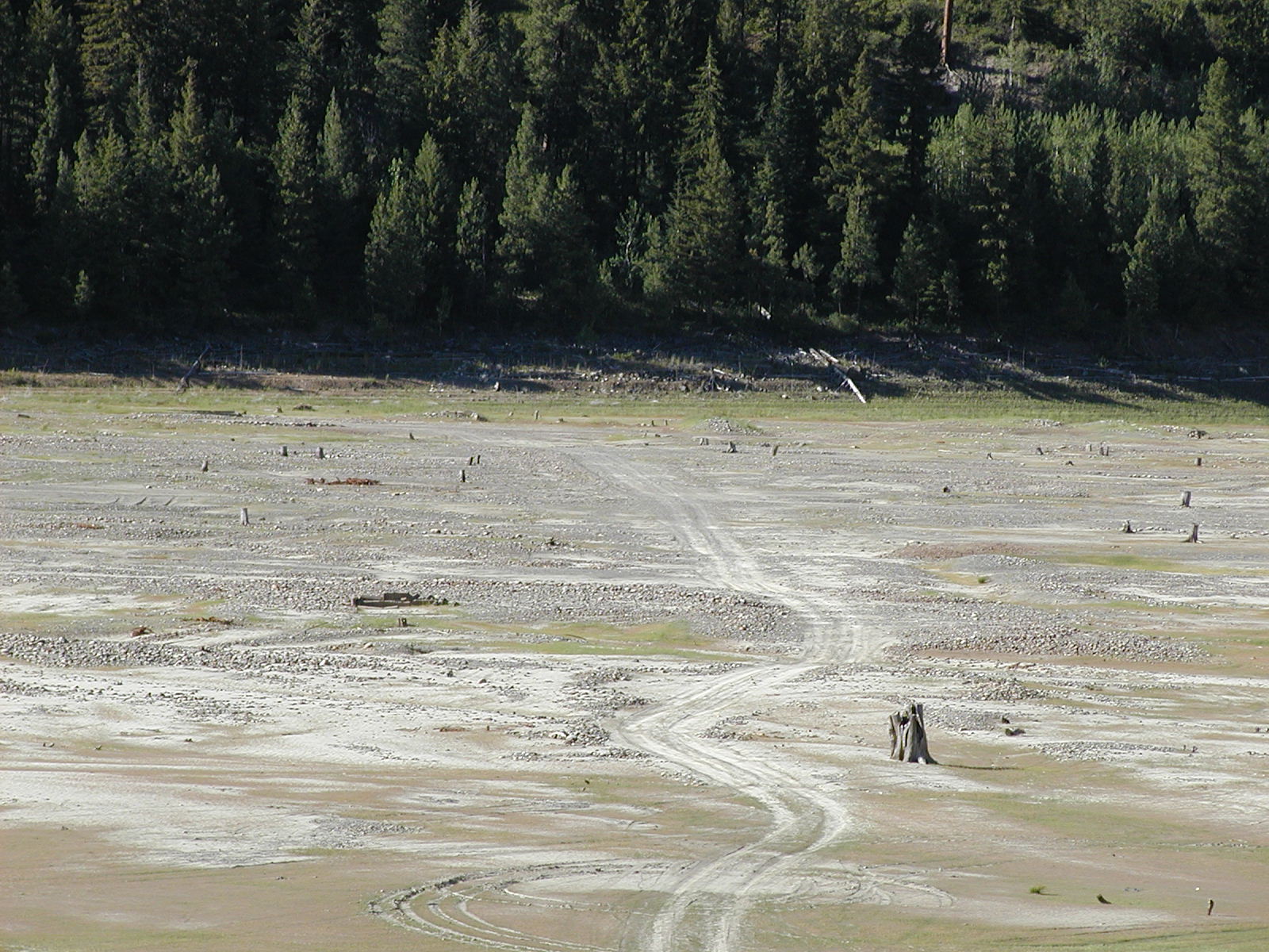
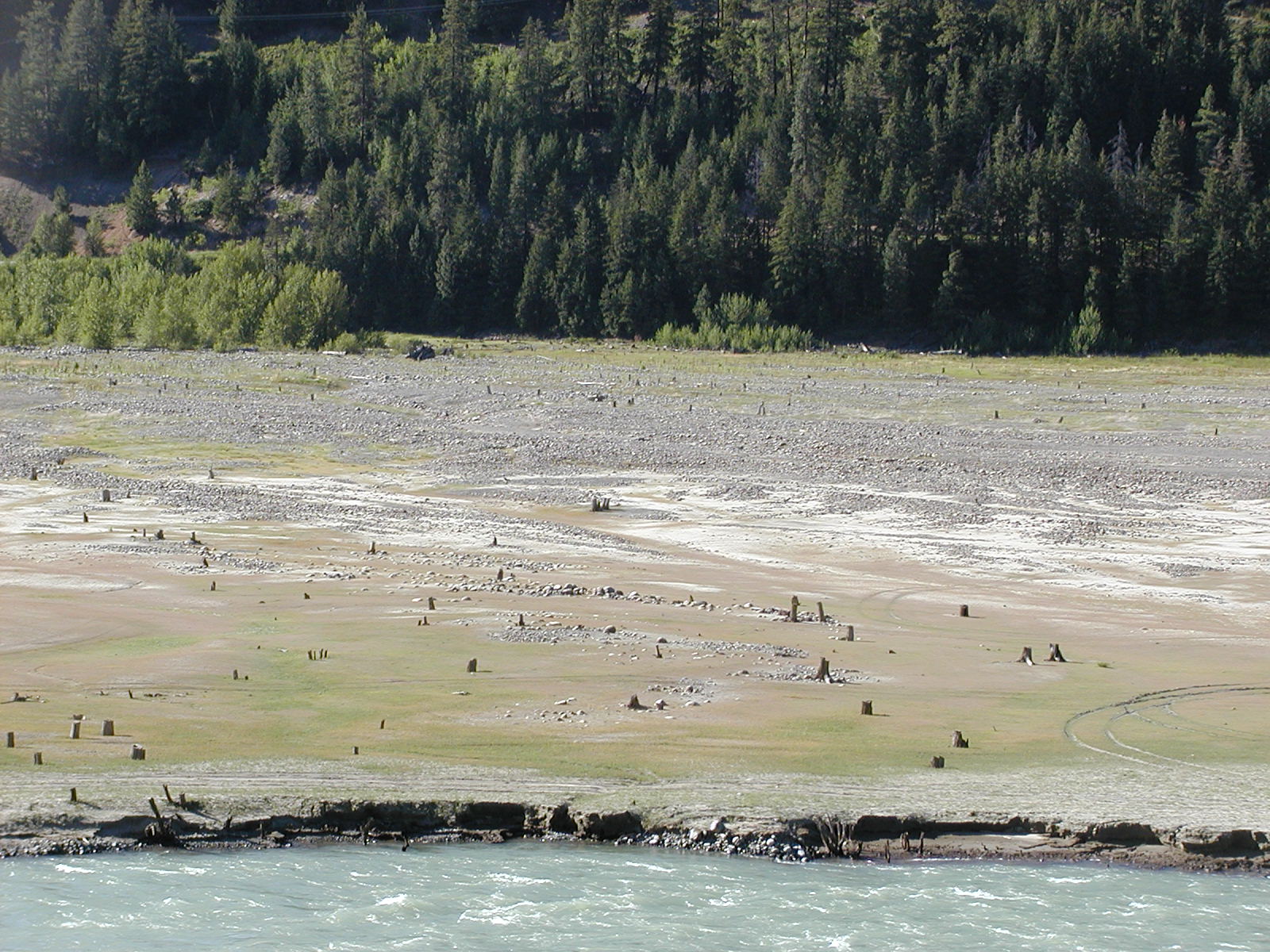
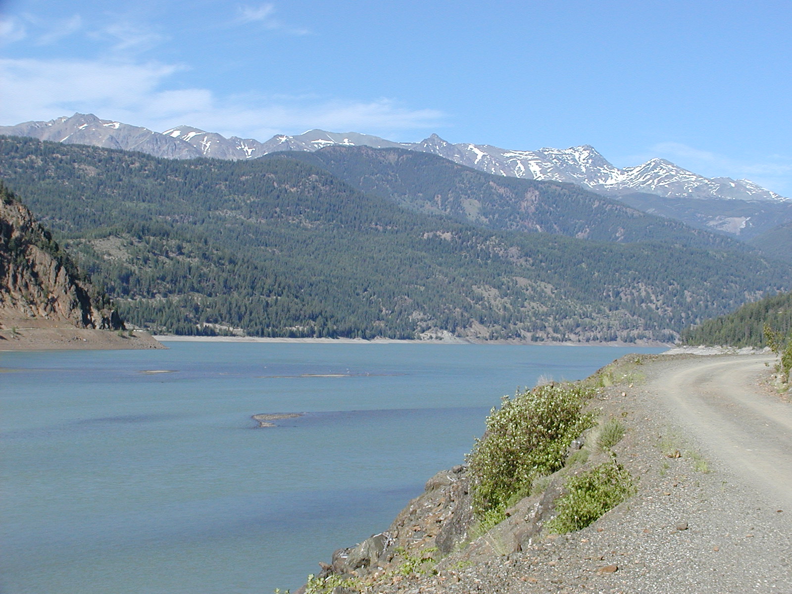
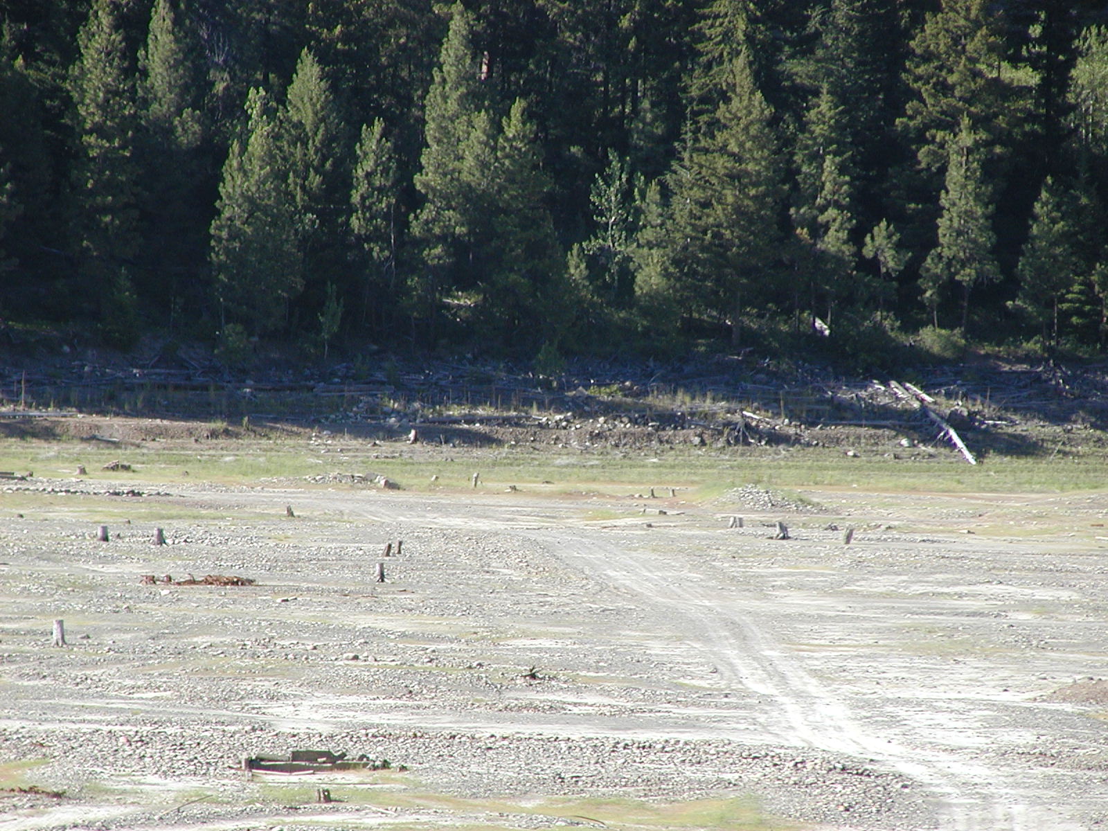
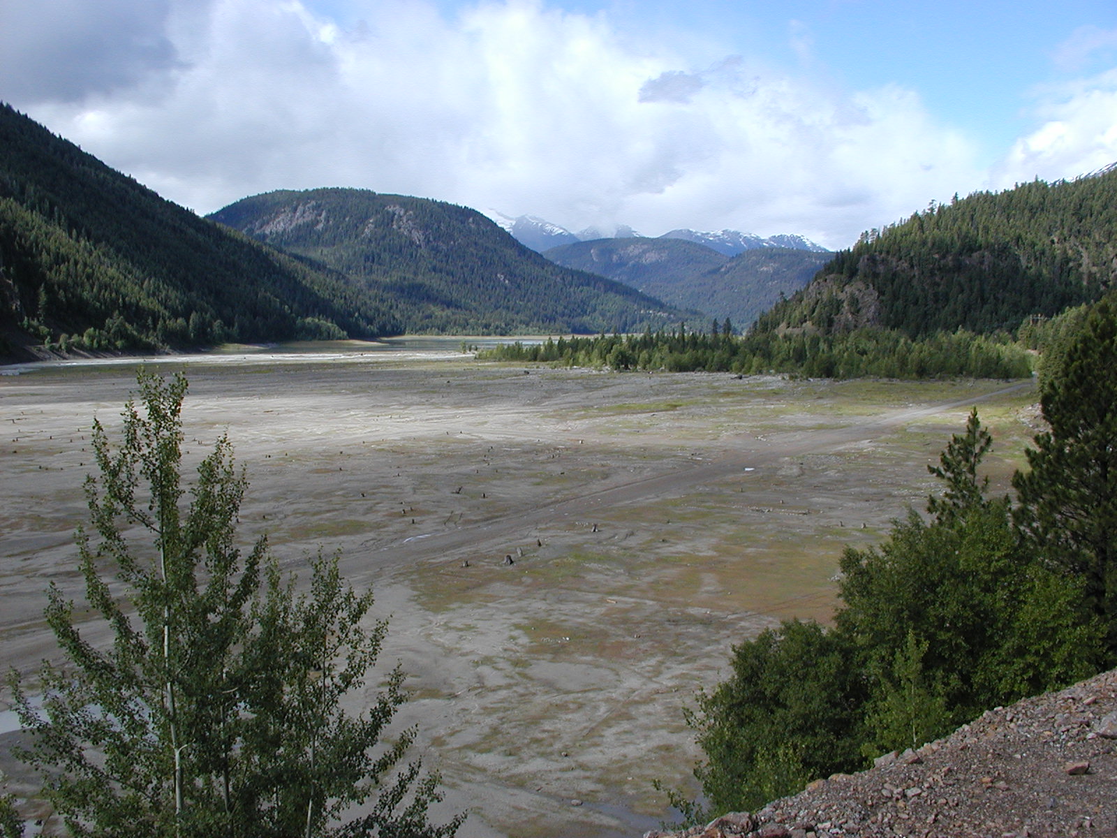
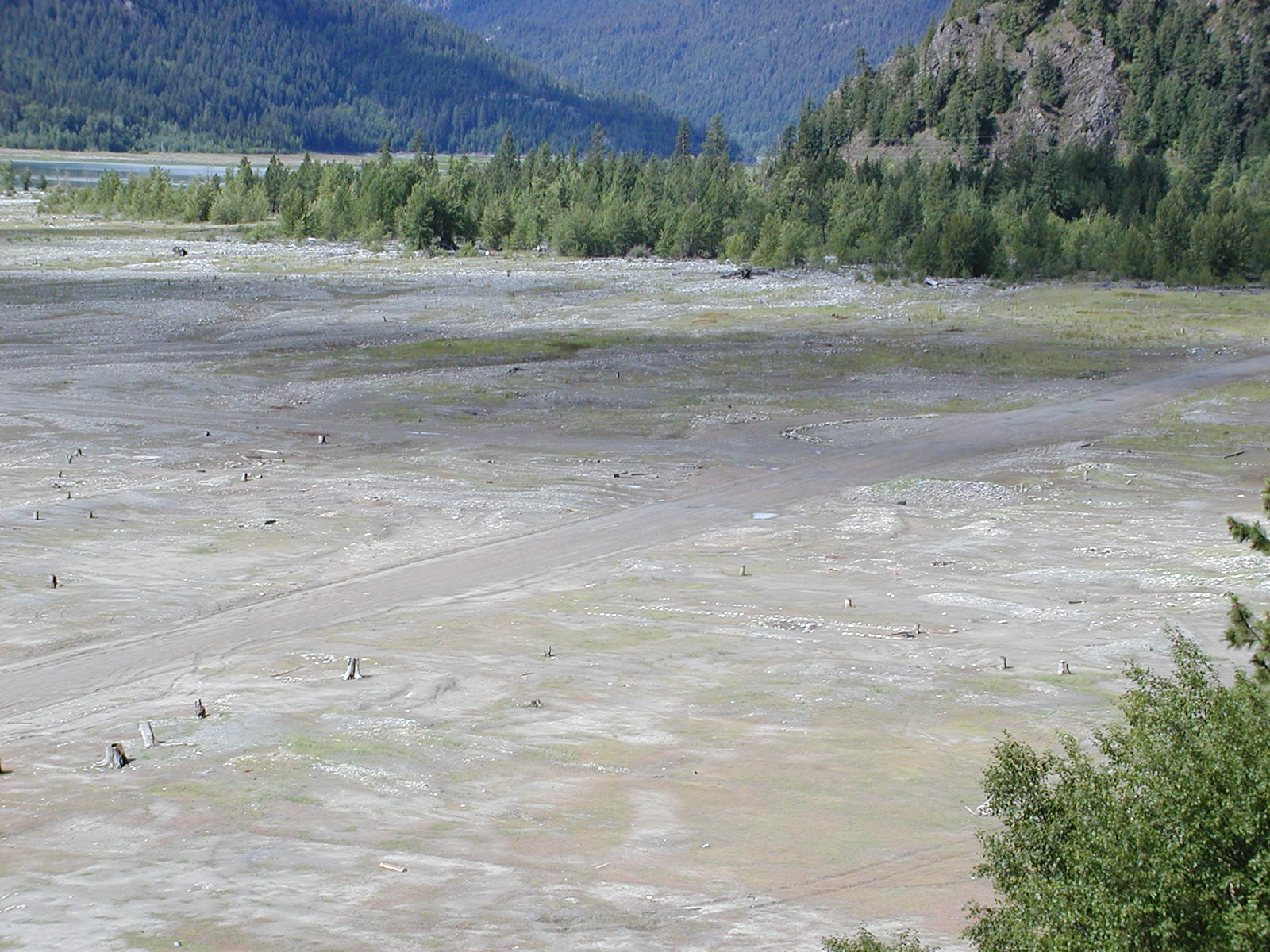
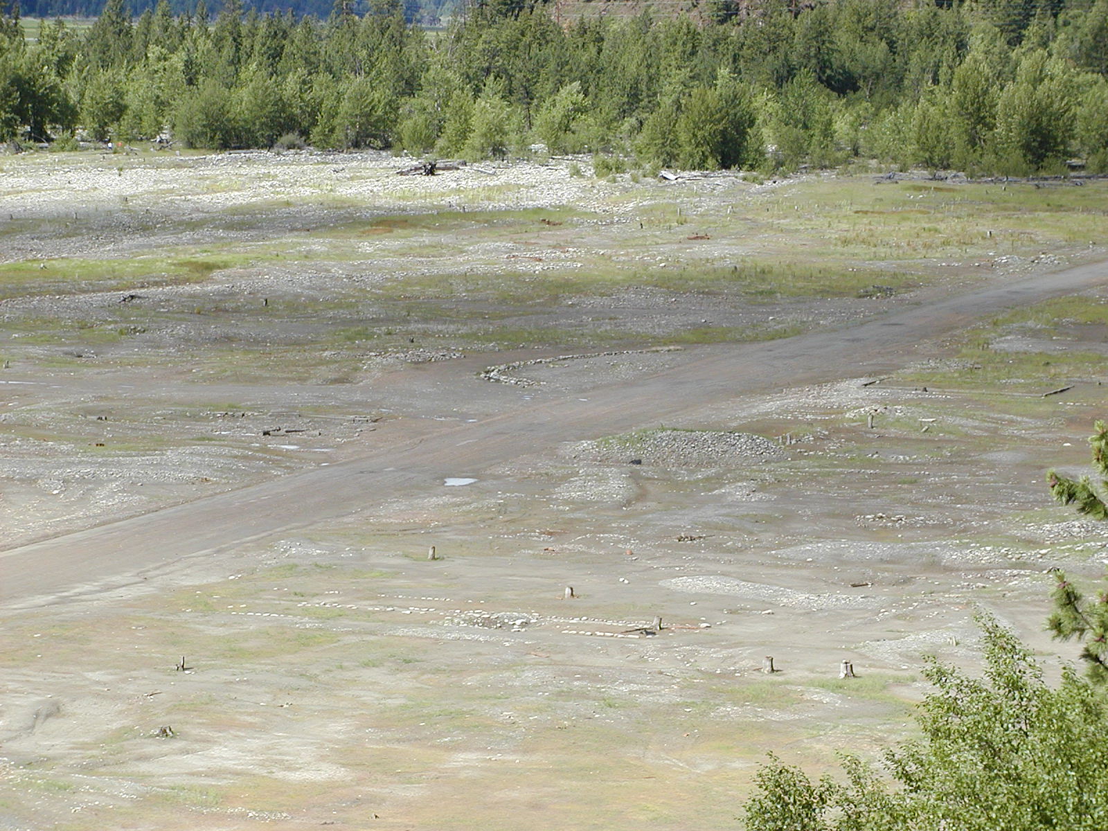
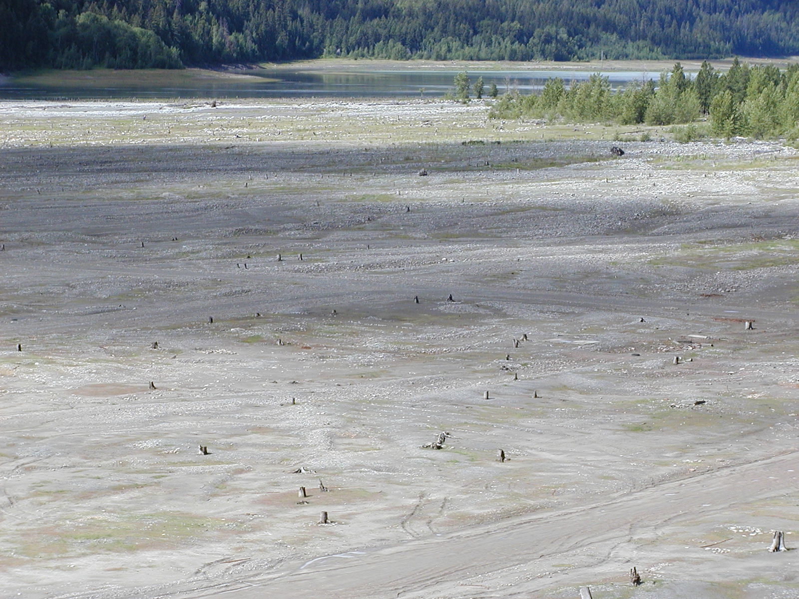
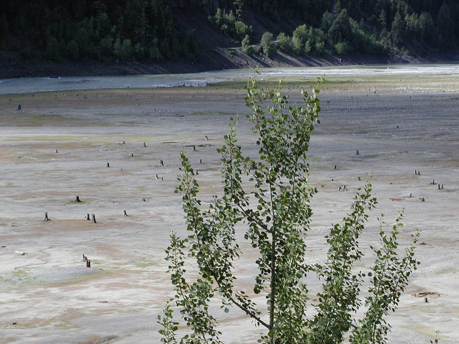
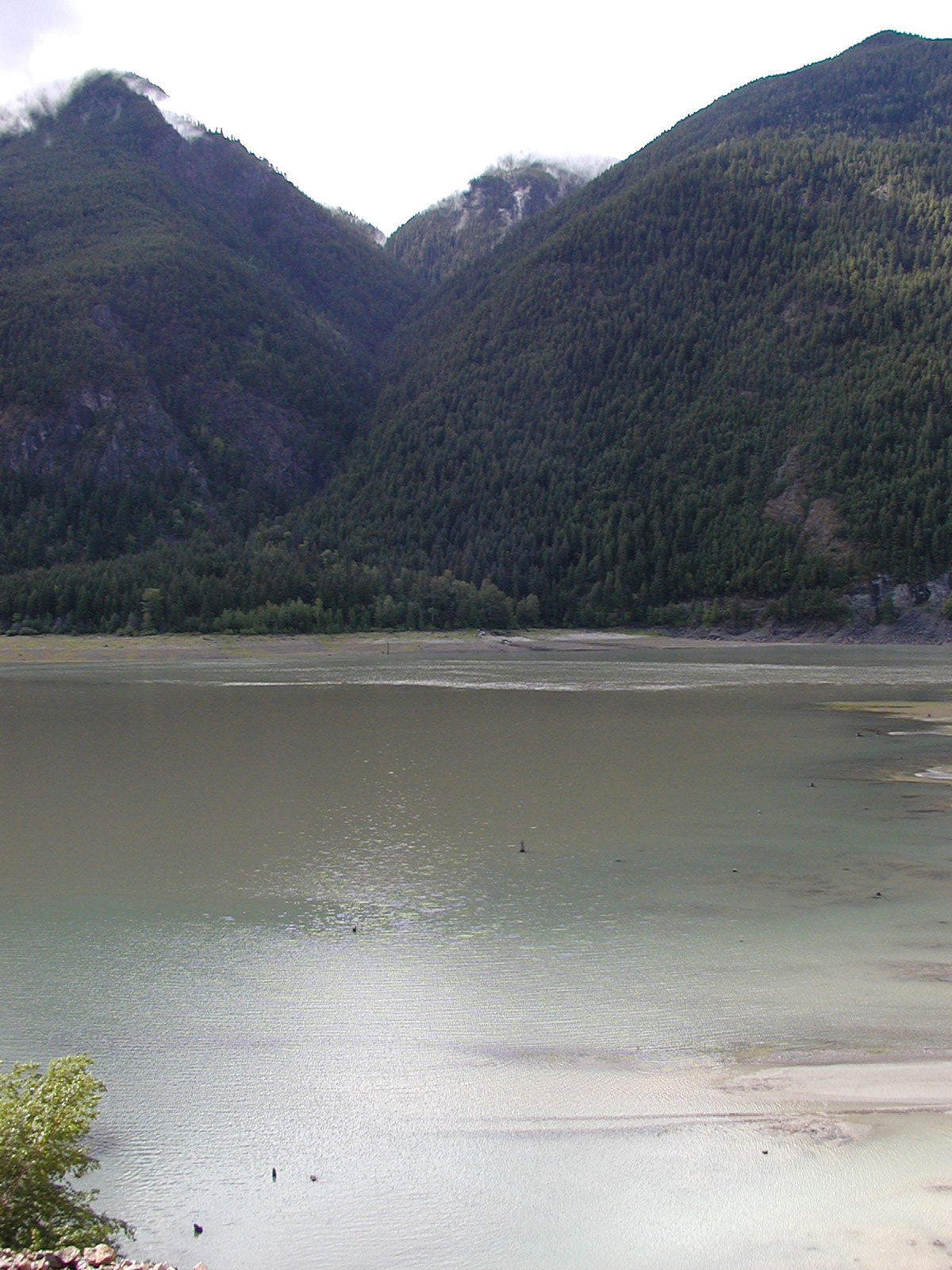
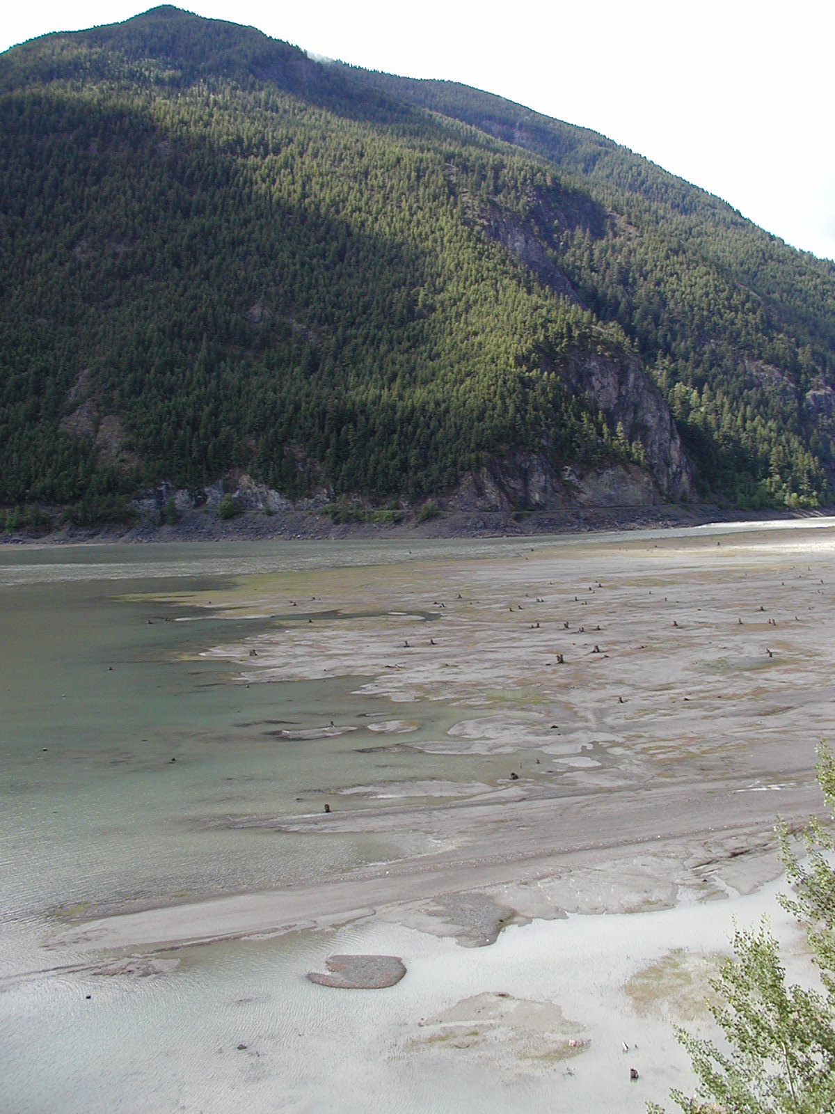
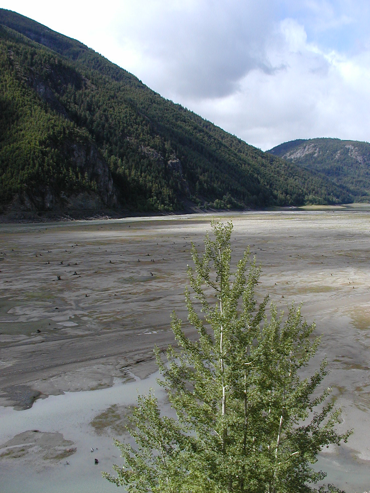
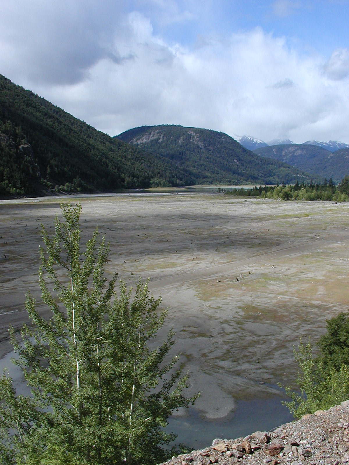
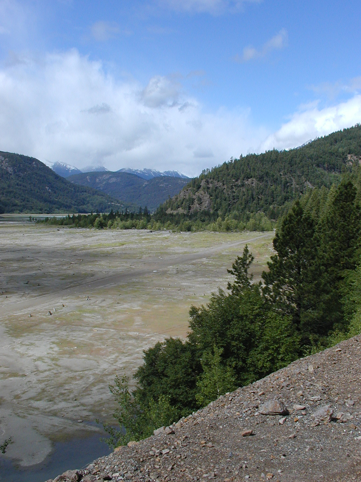
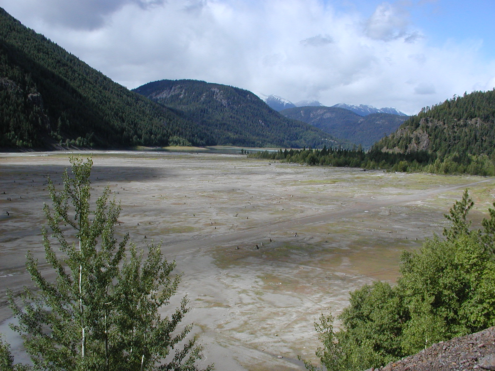
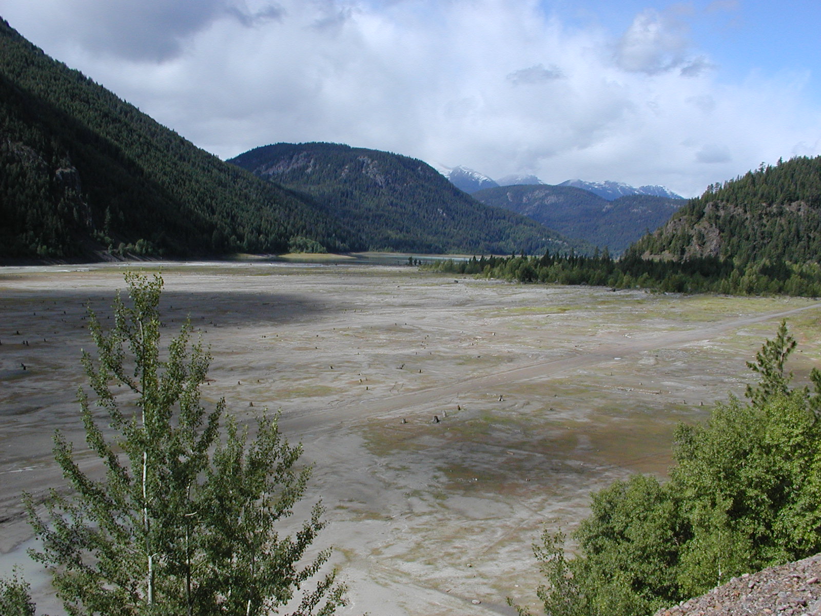
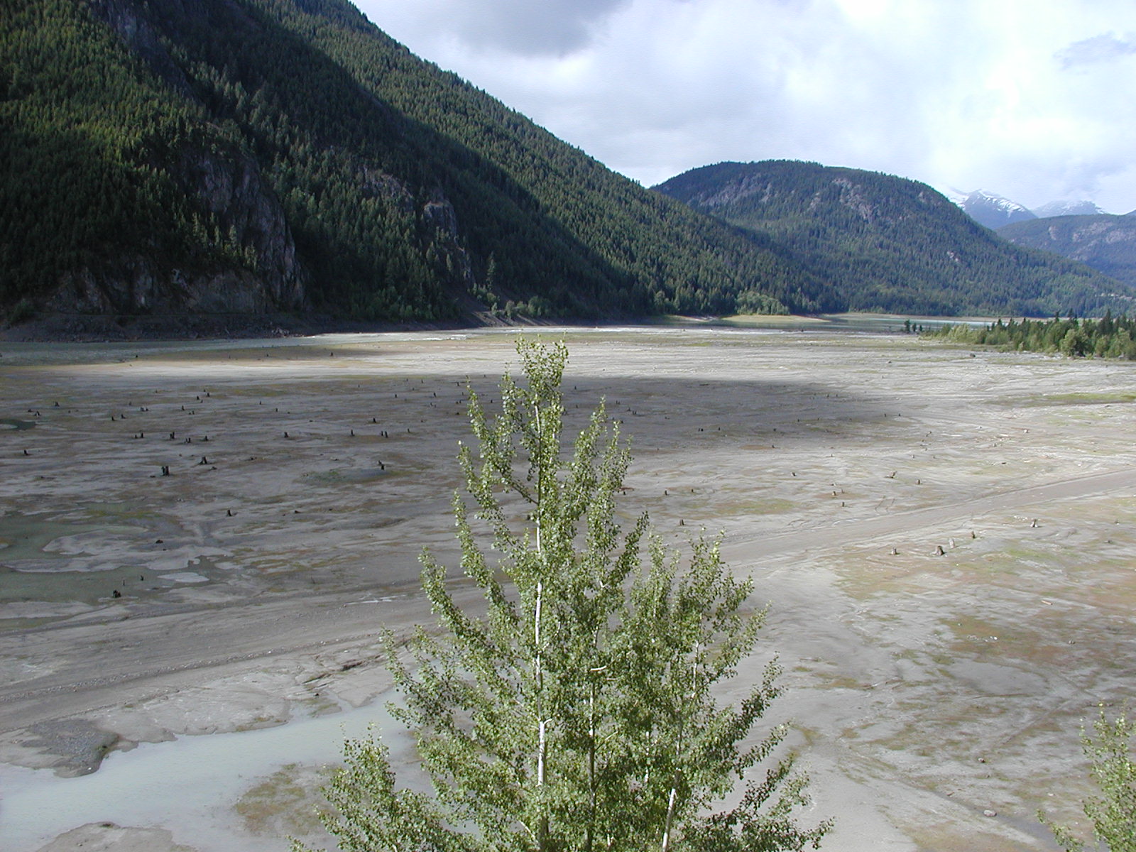
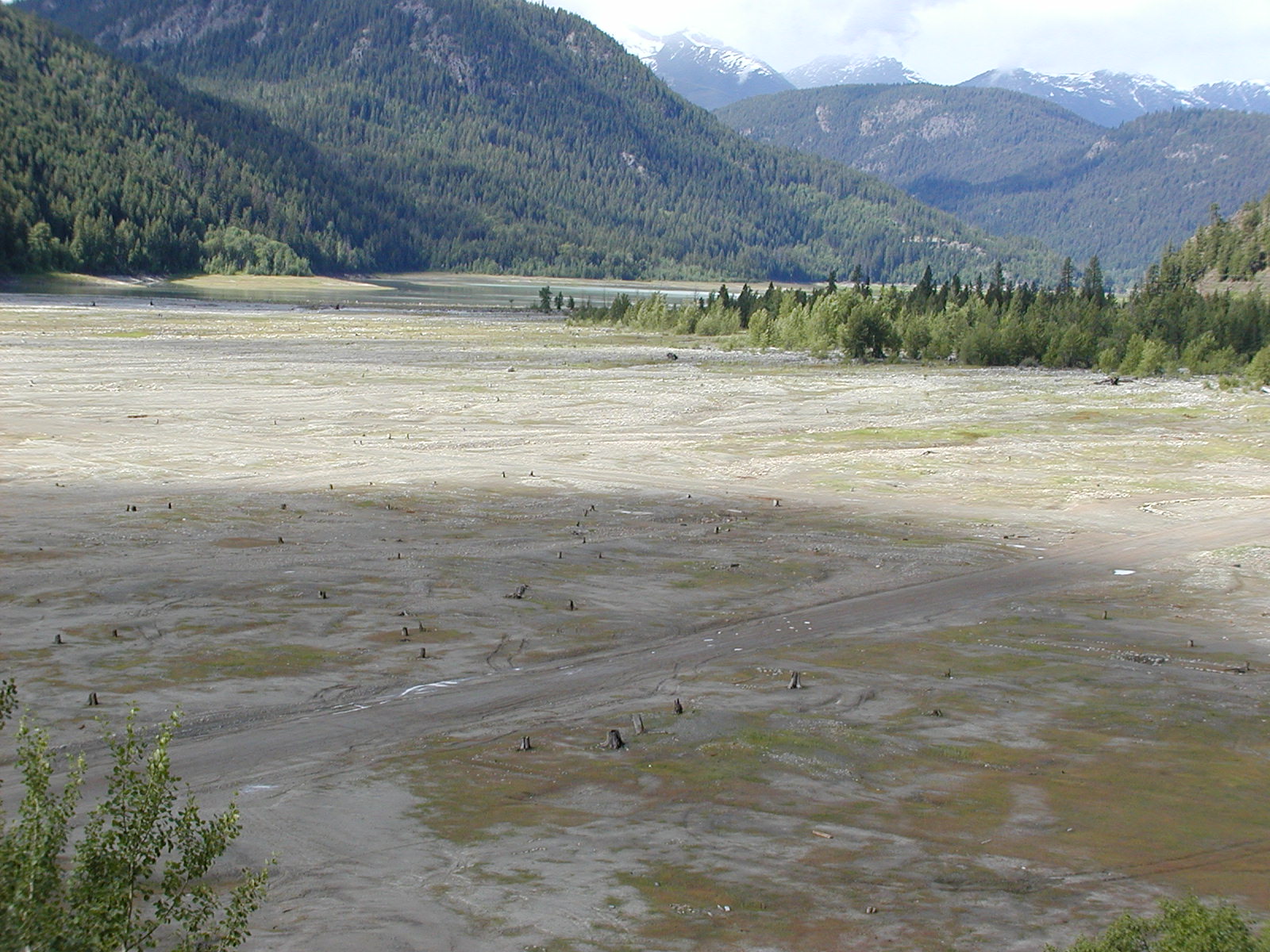
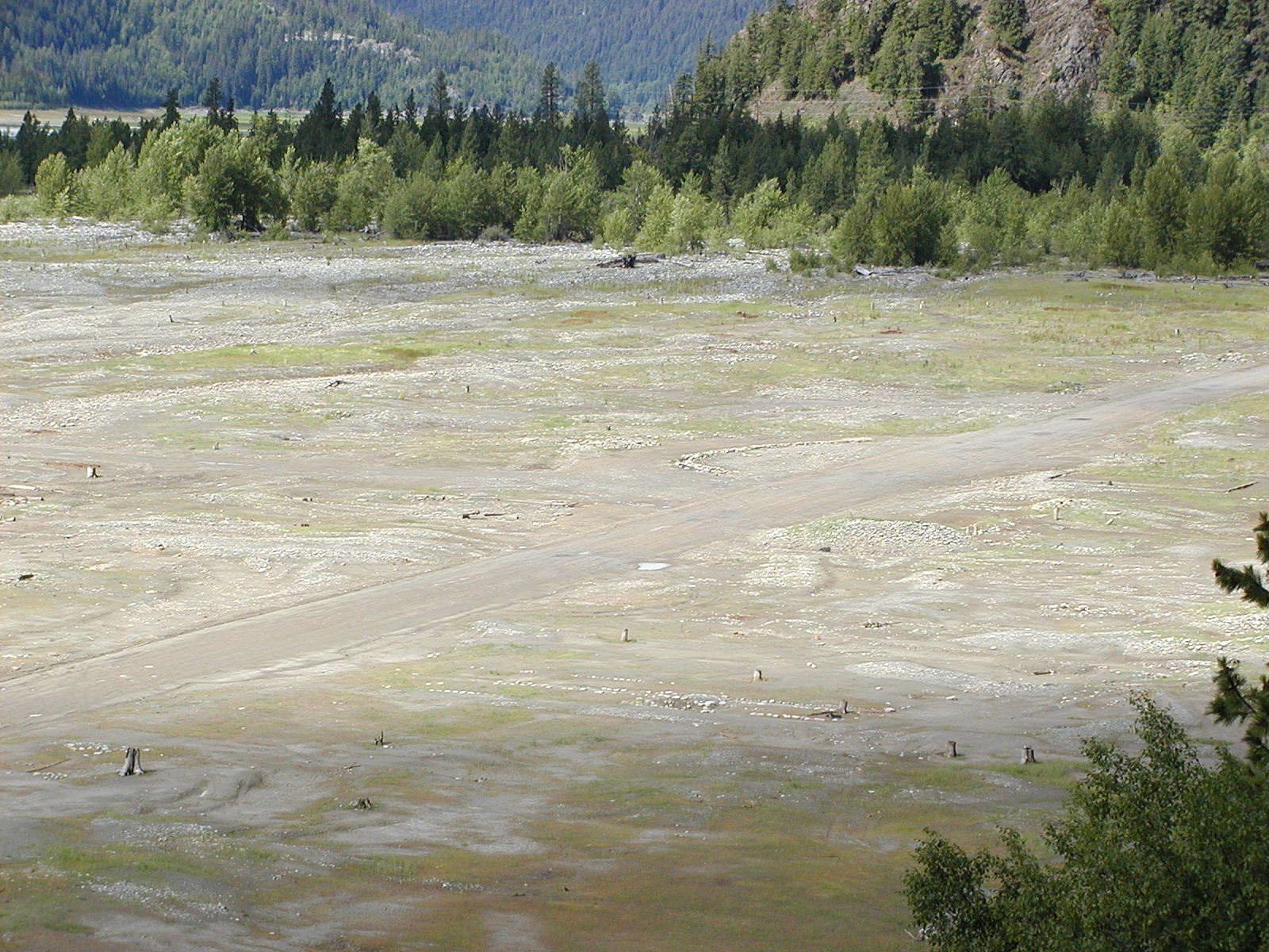
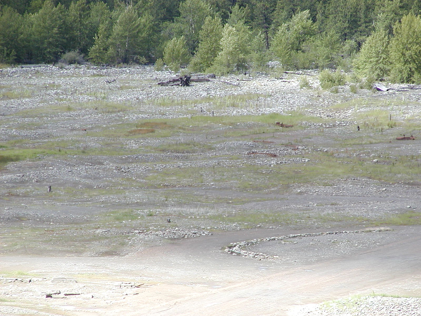
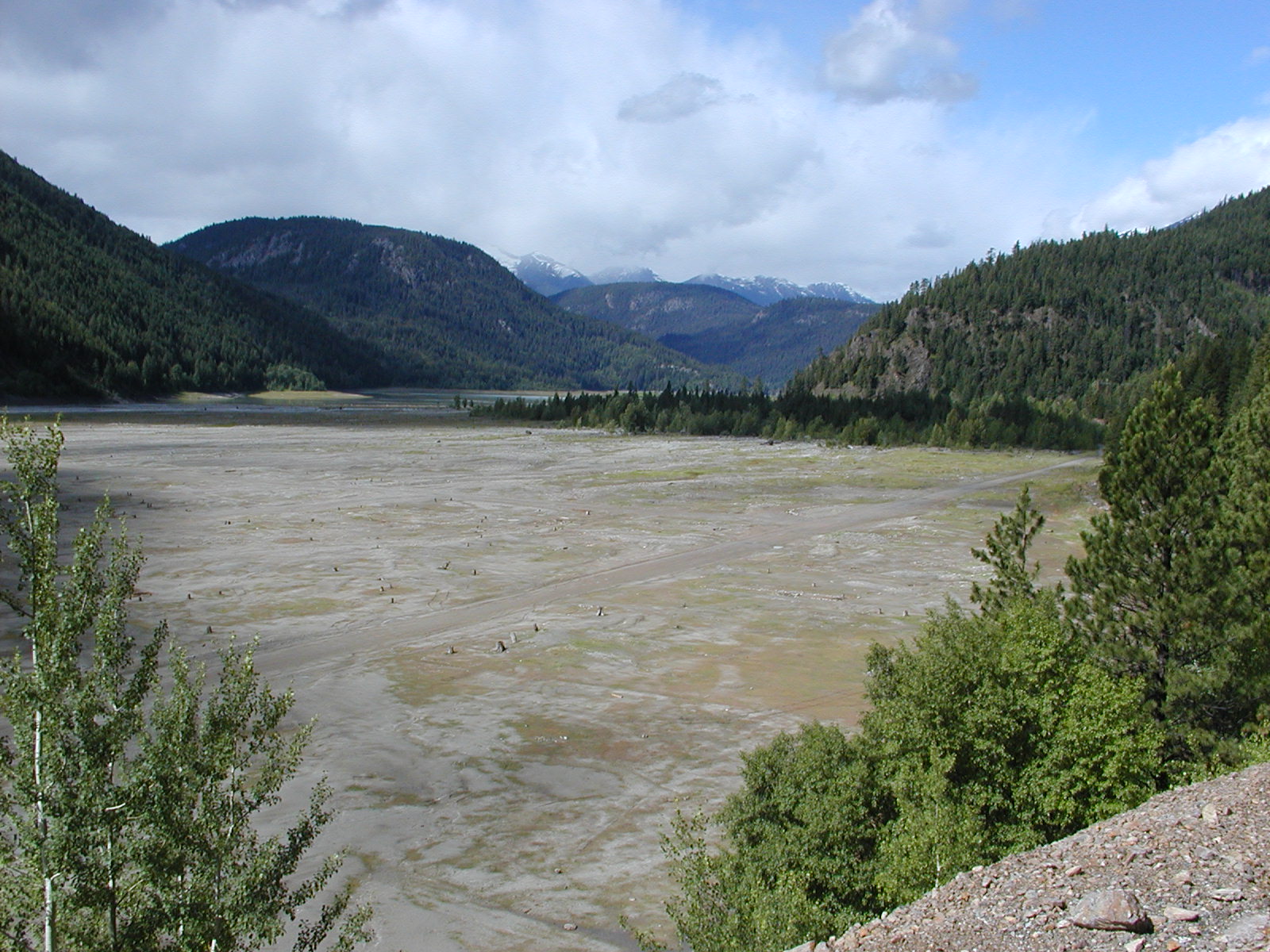
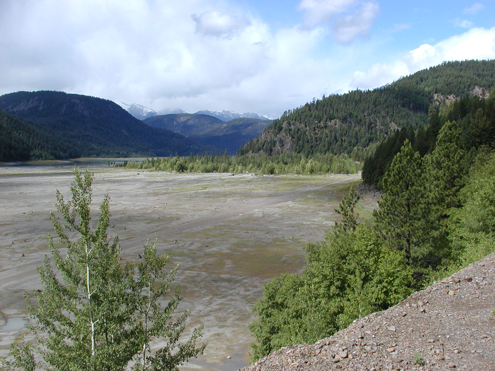
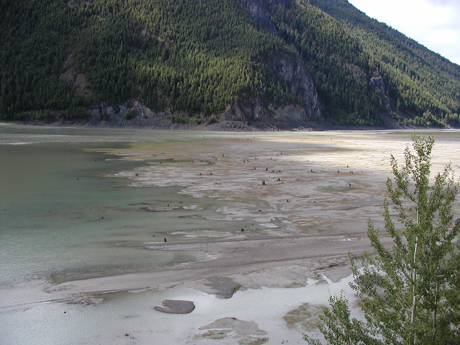
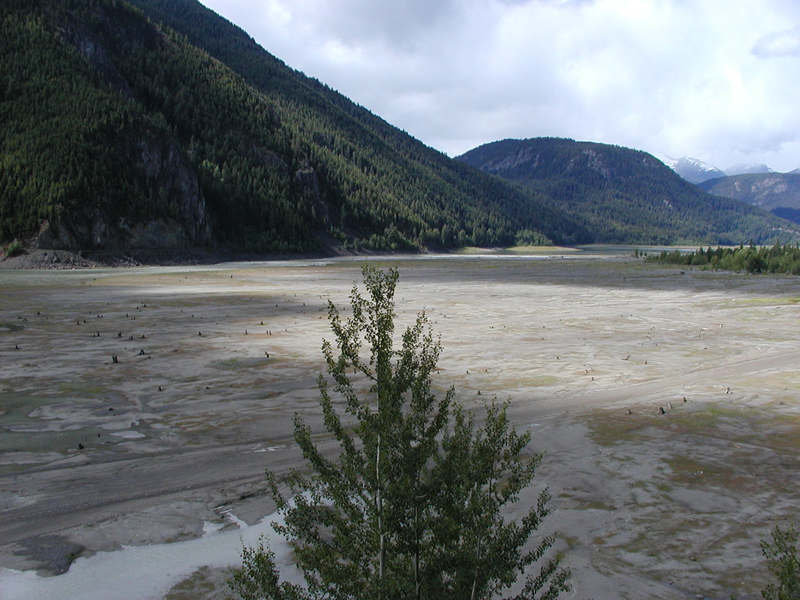
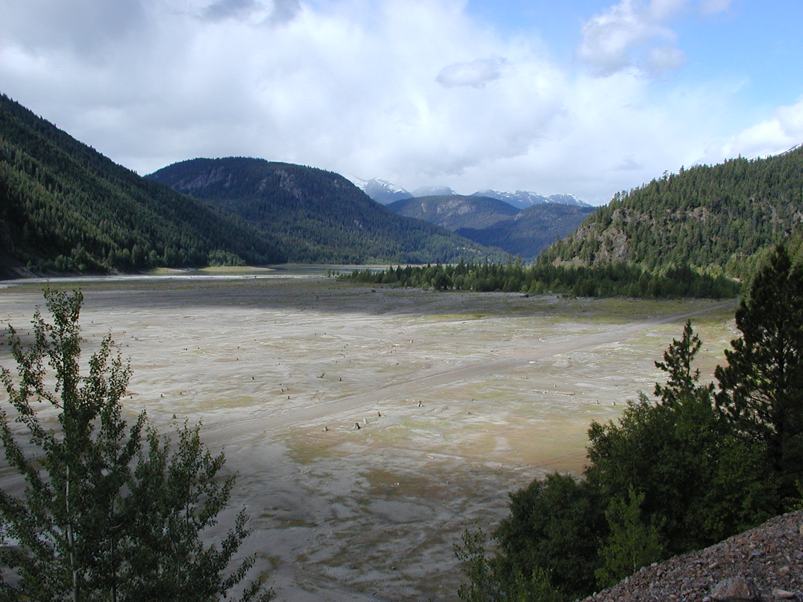
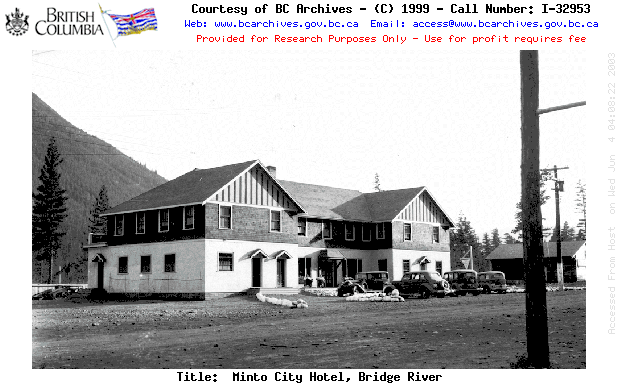
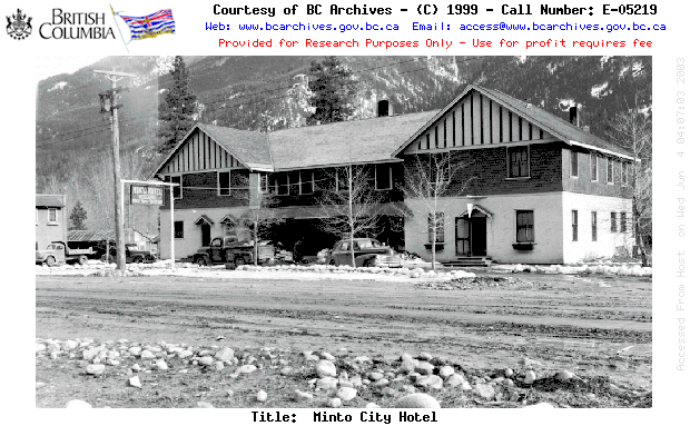
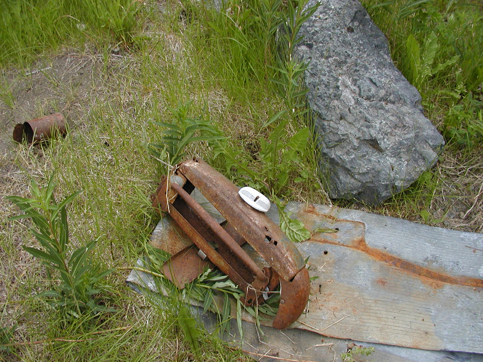
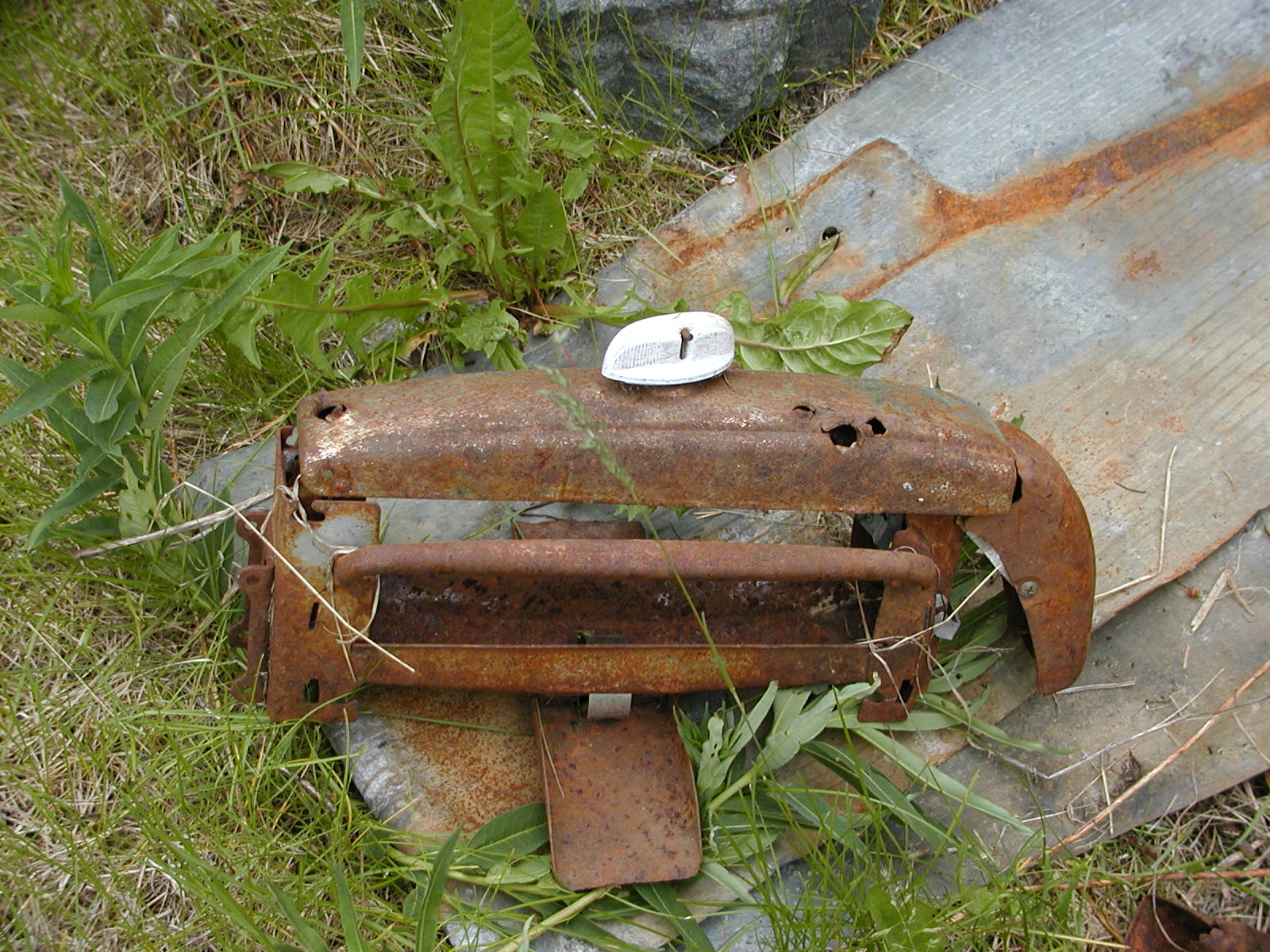
Down Mission Ridge Hill and into Carpenter Lake. Boy the lake is sure low! We started getting anxious thinking we might be able to actually see the remains of Minto that may be out from under the waters near Gold Bridge. Minto townsite was drowned in the 1950's when the Bridge River was flooded to make a resevoir for the power station on the other side of Mission Ridge. Thru the tunnel from the Dam at the head of the manmade Carpenter lake the sign read 51 kms to Gold Bridge // 68 kms to Bralorne to the west and 42 kms to Lillooet to the east. Low and behold as we traveled along, Minto showed itself!!! We passed by in order to head to Gold Bridge for fuel since it was now 3:30. We came back out of town and headed to Minto. We drove down the old roadbeds, saw the old foundations and got excited! We picked a spot, although it was soooooo hot already, and started metal detecting. What a neat place to play in! We found lots of junk of course, pipes, iron pieces, but also an old copper tap presumably from a kitchen or bathroom, old clock metal workings, and an old 1946 Can penny that must have been under water since back in the 50's! With the heat and the dogs not staying in the shade we made for them, we decided to give up after an hour and head out the south side Carpenter Lake rd from Gold Bridge.


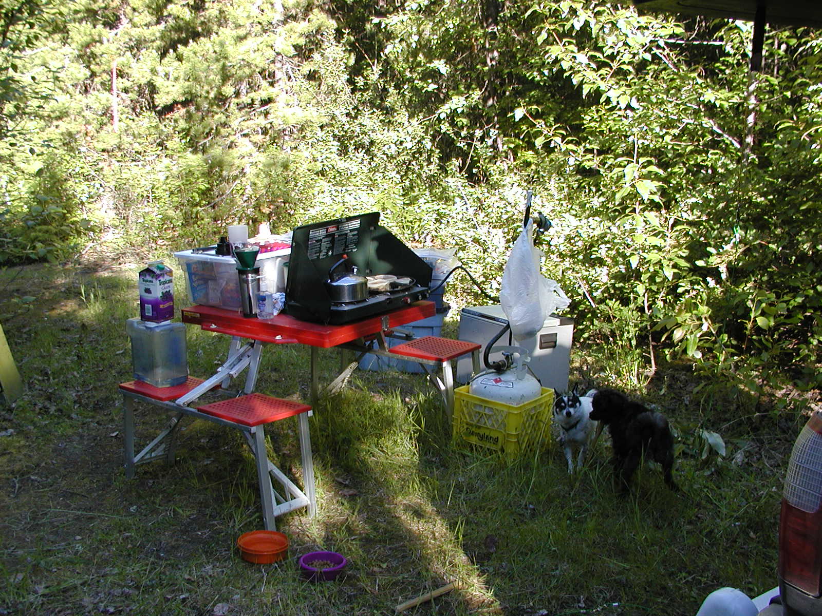
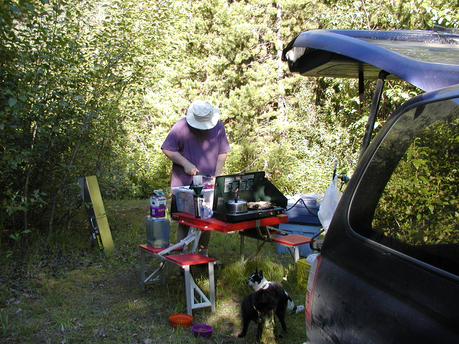
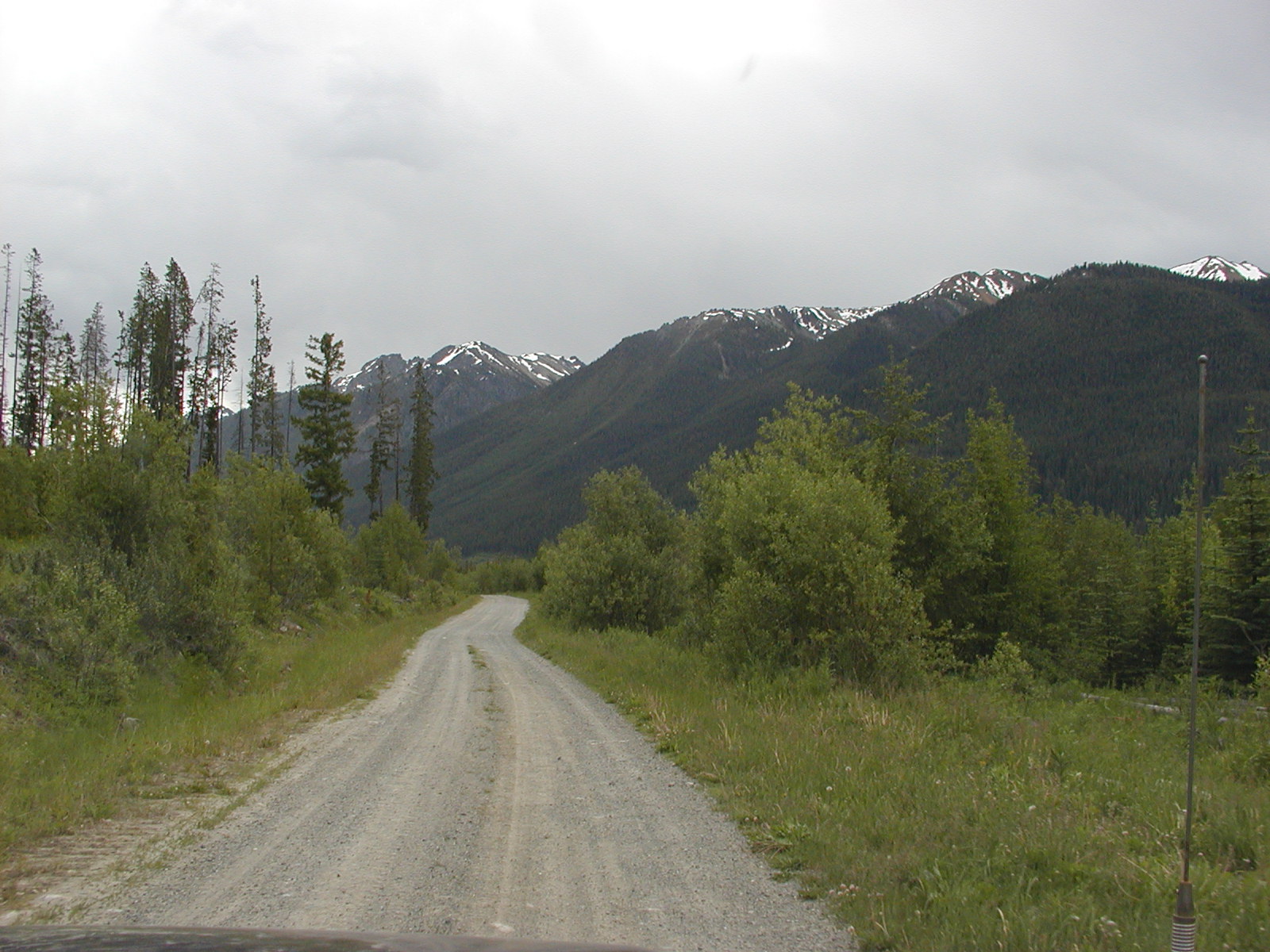
Out Bralorne Ave by the Hotel and we were off. About 11 kms down the road along the banks of the river/lake we hit the Truax FSR @! 50.53.439 // 122.42.427 freq: 152.960 But the road was marked as deactivated and deactivated it was!! Lots of cross ditches and some even hidden by the waning light. By the 2 km marker on Truax FSR we were up at 1000m !! By 6 kms we were @ 1386m. We hit an intersection of roads @ 50.51.910 // 122.41.310 and took the lower road onwards. We came up to another Y intersection at a branch of two rivers @ 50.51.249 // 122.41.403 and made camp for the night. There are two bridges; one we passed over and another to the other mountain to the east that has been deactivated and rated at a maximum load of 0 kgs. The road over to the eastern mountain looked good and actually so did the bridge but they made a big tank trap in front of it, but people may be able to hike up that way still if brave. We were @ 1482m and the sun stayed up till late around 11pm but the cold came quick with the winds and we made a nice fire to stay warm by. Just after 11pm (what a difference a degree of latitude makes) the stars started coming out and we headed to bed.
DAY 3 McGillvray Pass or BUST!!!
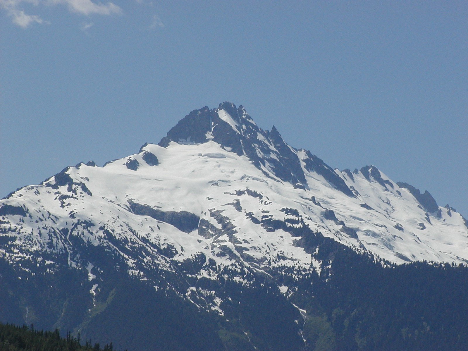
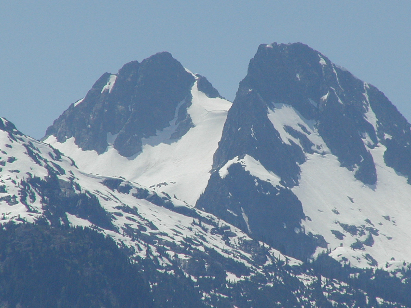
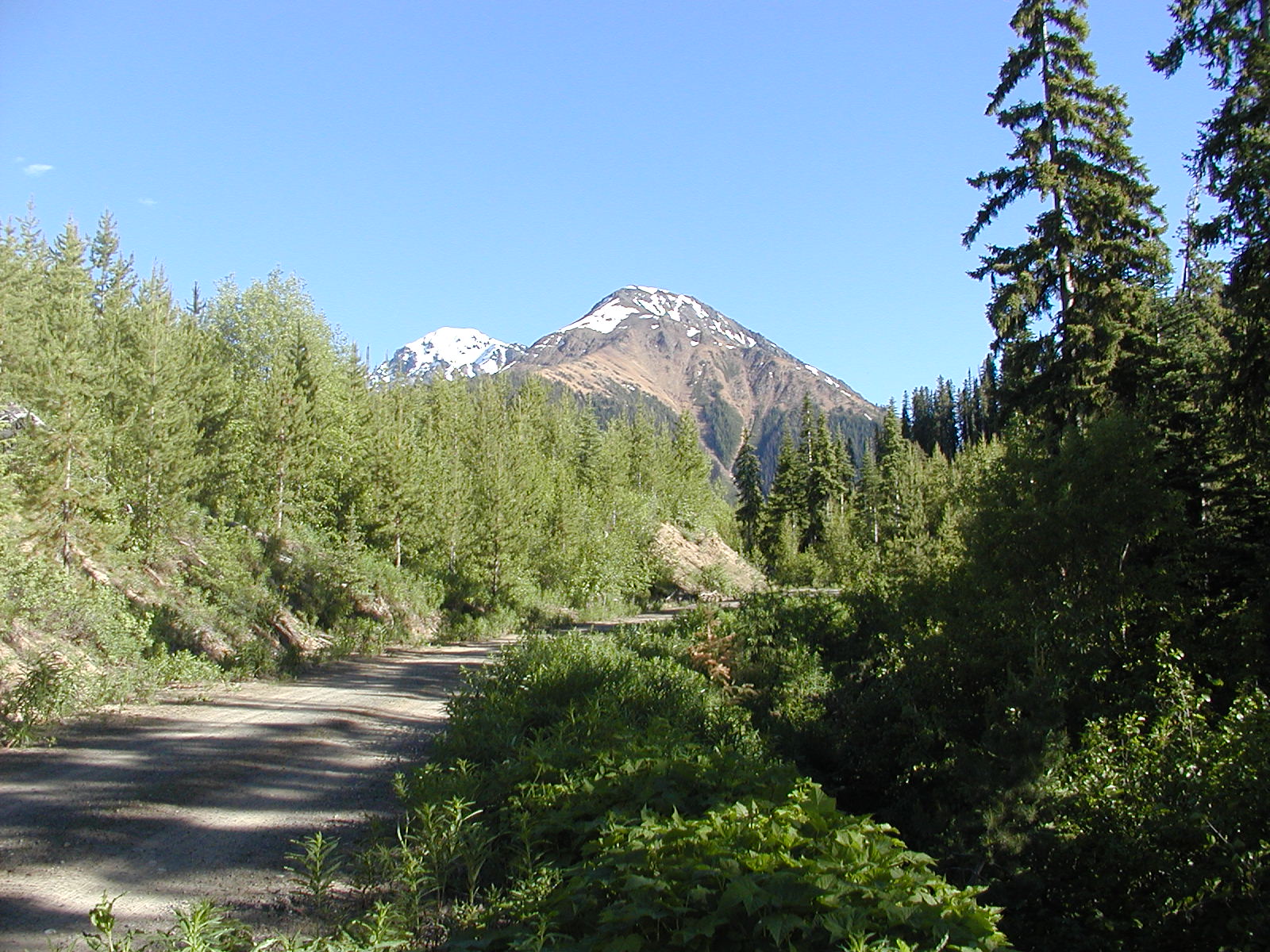
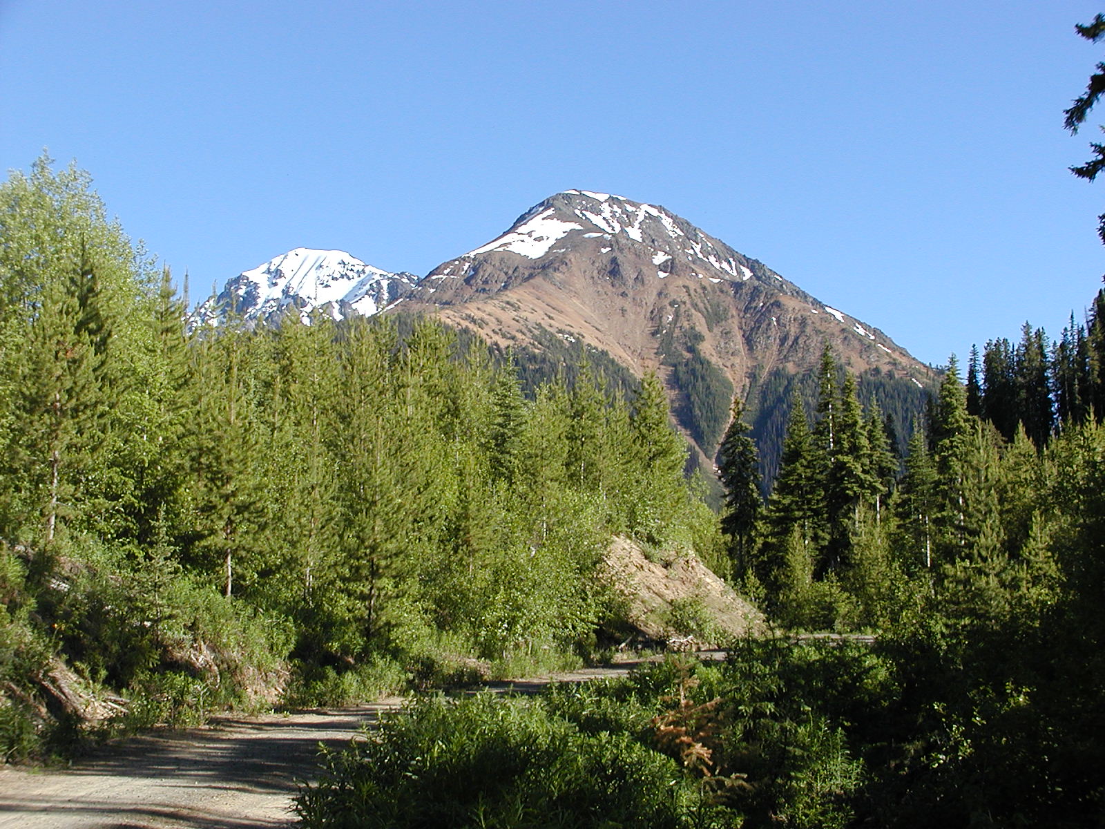
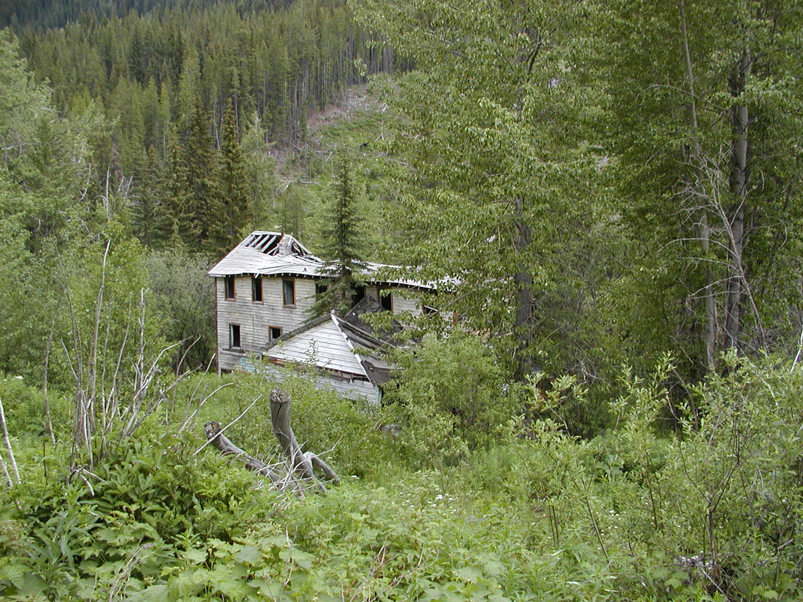
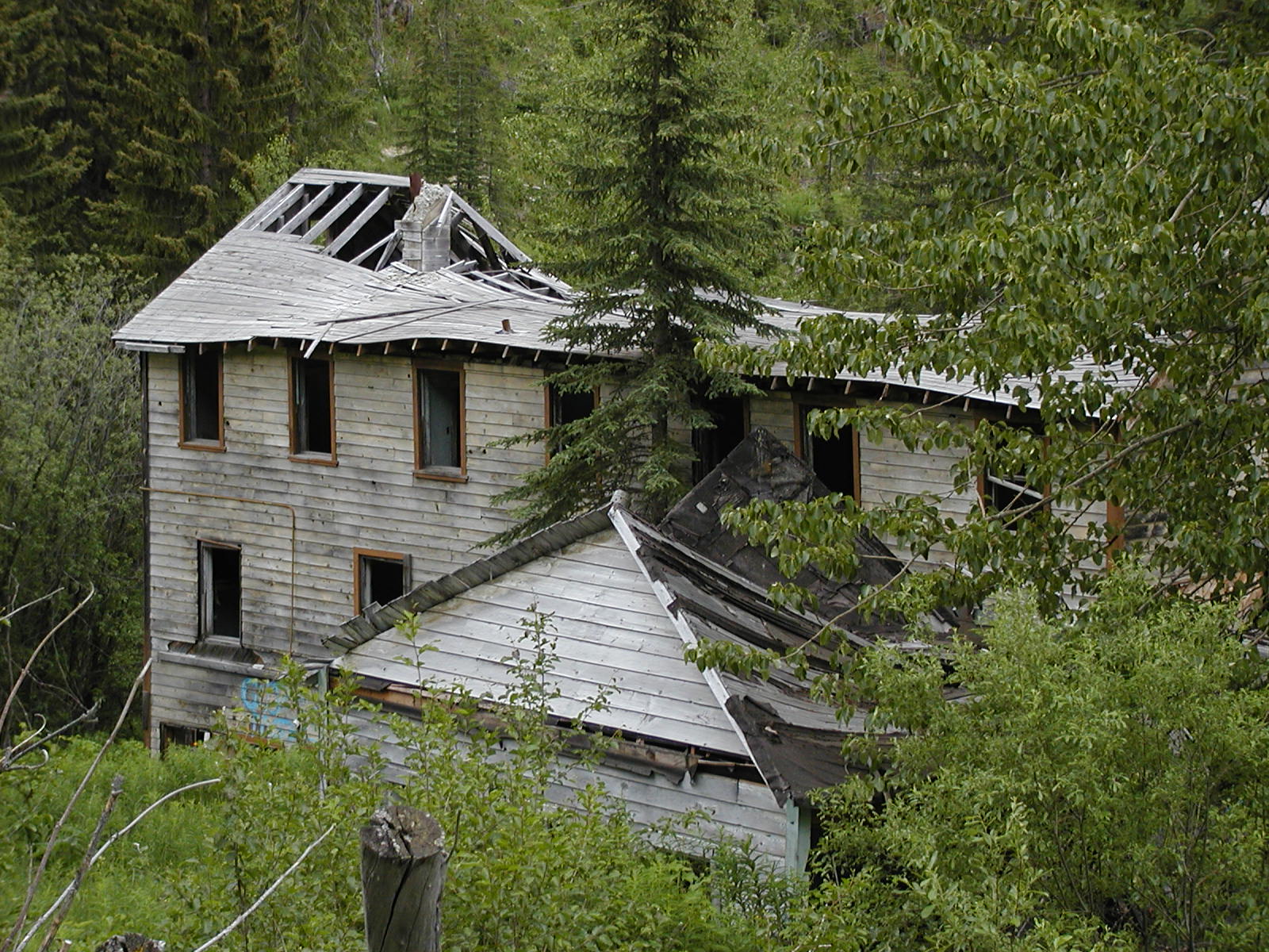
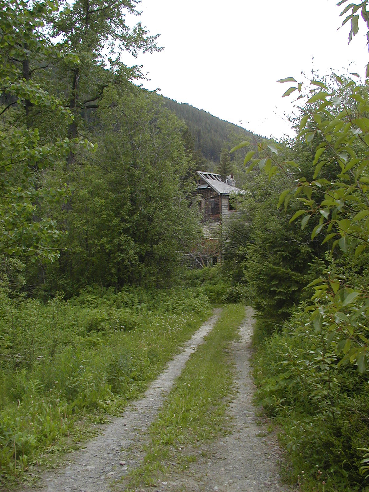
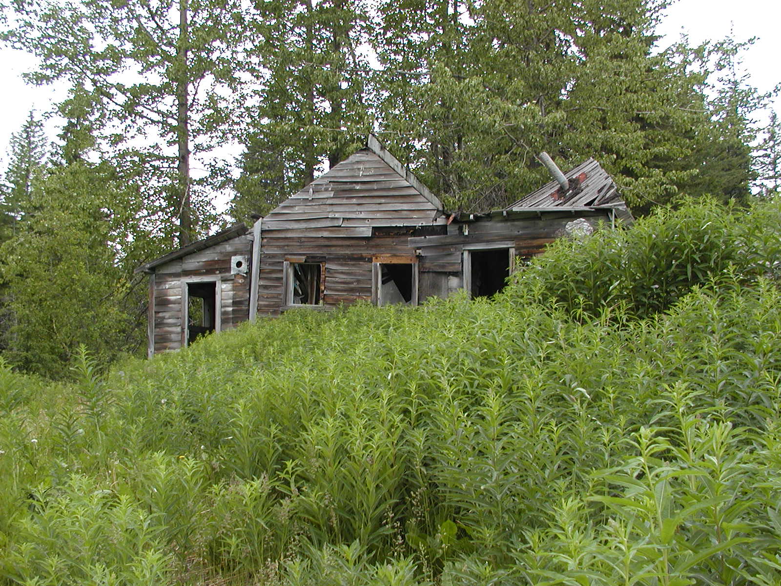
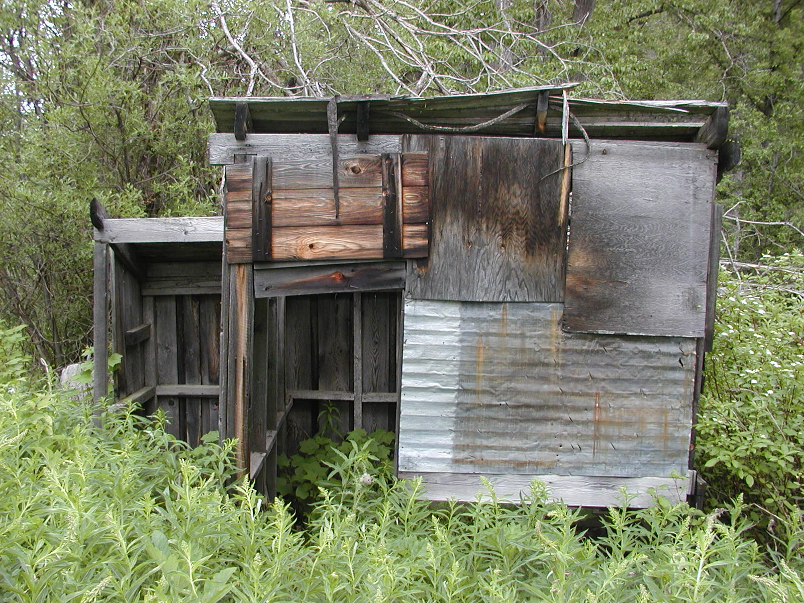
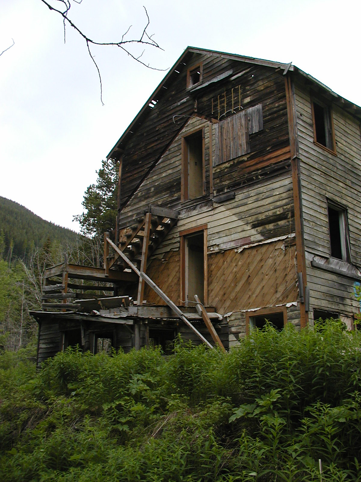
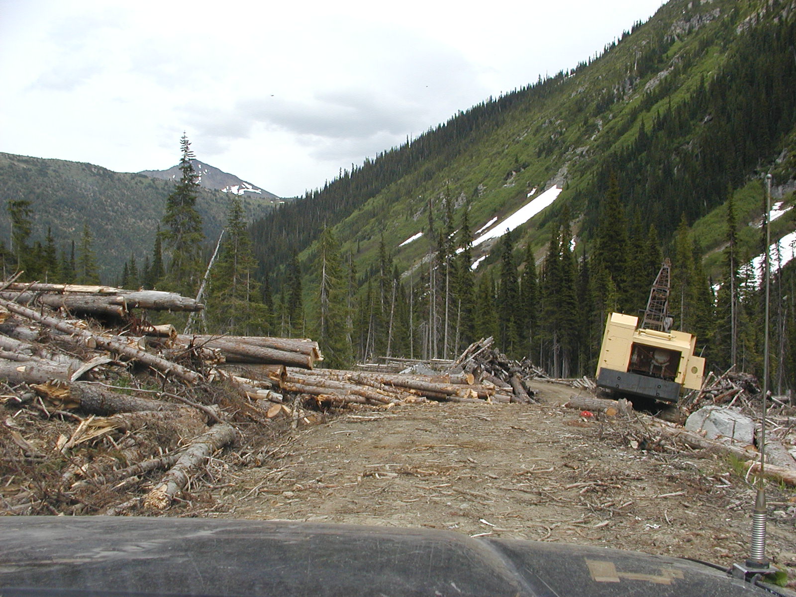
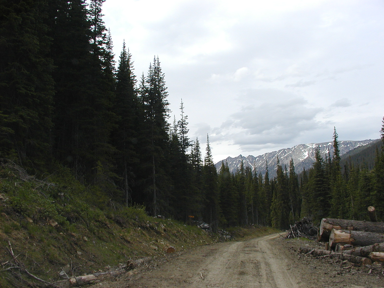
Back into Gold Bridge and out the road to Bralorne. Took Kingdom Lake FSR just before Brexton 50.49.354 // 122.49.507 Freq: 152.960. This road passes above the Pioneer mine site that has a couple of bridges out at down below and passes by Lost Lake, Noel Lake, Kingdom Lake (which has a very VERY nice Rec Camp site at about 4.5 kms along Kingdom FSR) and finally Mead Lake. All bordering at the bottom of the west side of Mt Truax (2880m) and Mt Fergusson (2588m). At about the 11 km mark 50.45.202 // 122.45.455 we came across what looked to be an old hotel/boarding house of some kind. Taking the road down beside the old structure there were numerous outbuildings and a couple of bridges. The one main bridge seemed to cross back over Cadwallader Creek but was extremely narrow. A few feet away back up the main road were old mine workings too.


Hawthorne Creek Trail located @ 50.44.509 // 122.42.735 to the north @ 1299m entrance elevation around the 14.5 km mark on the main line. Piebiter Mt Trail was at about the 19 km marker.
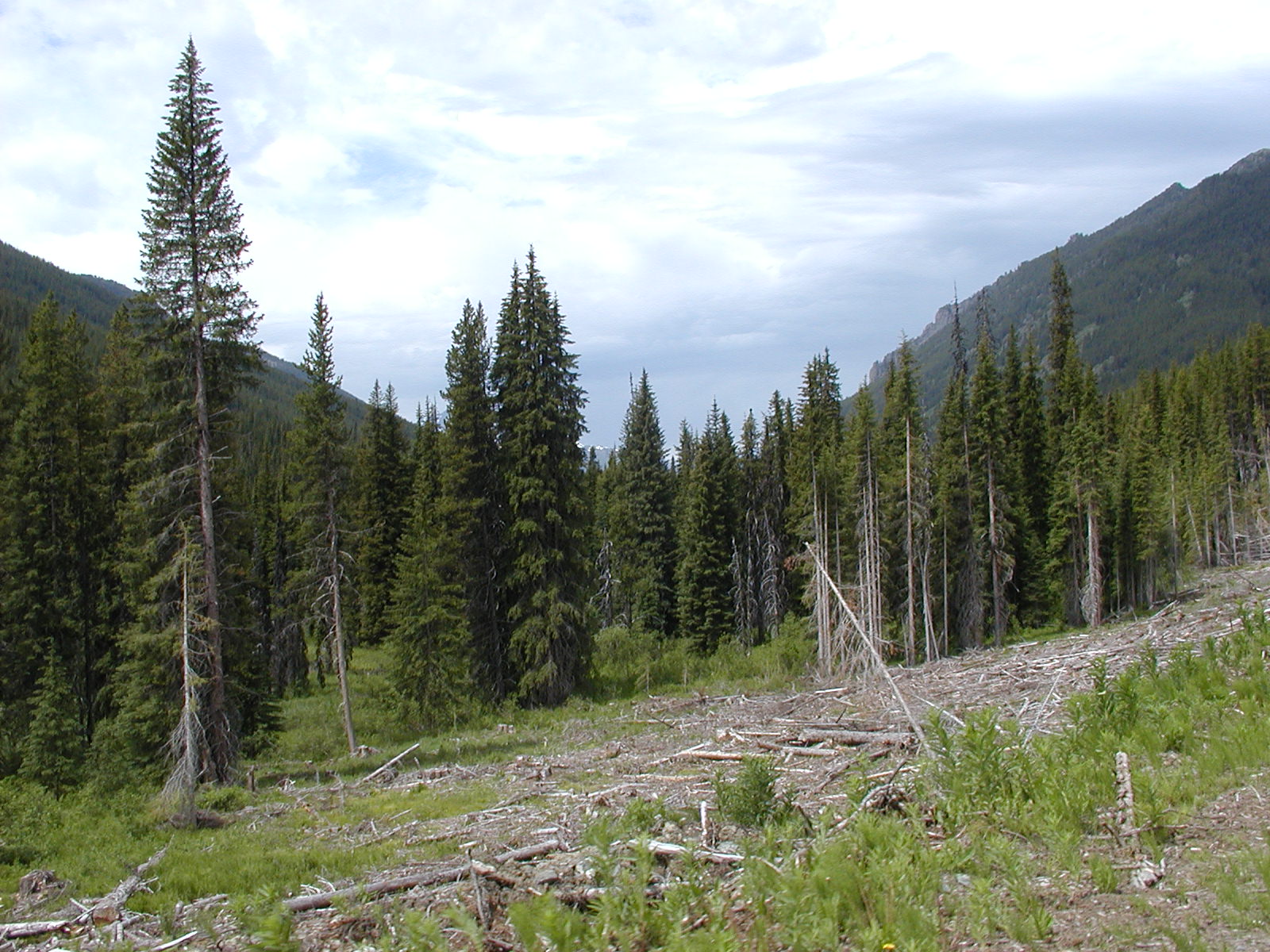
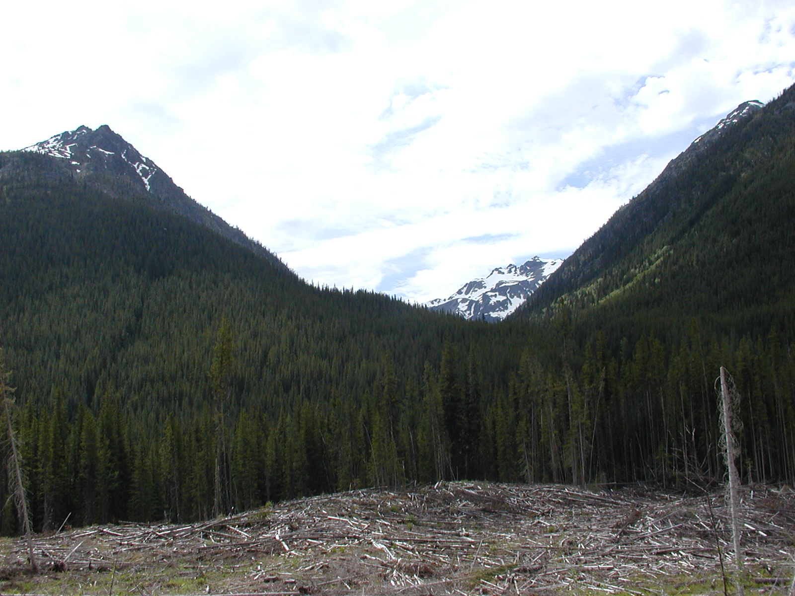
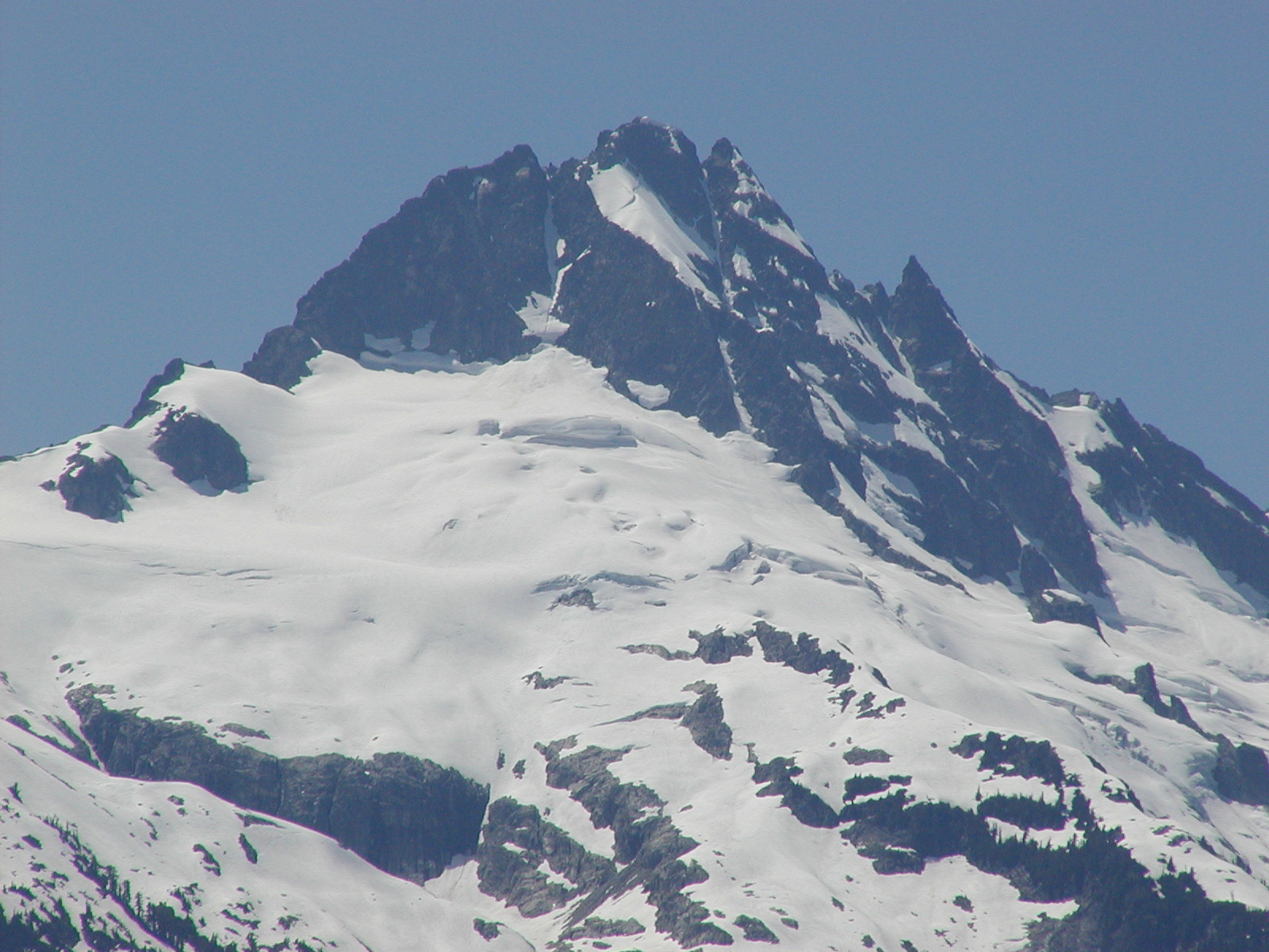
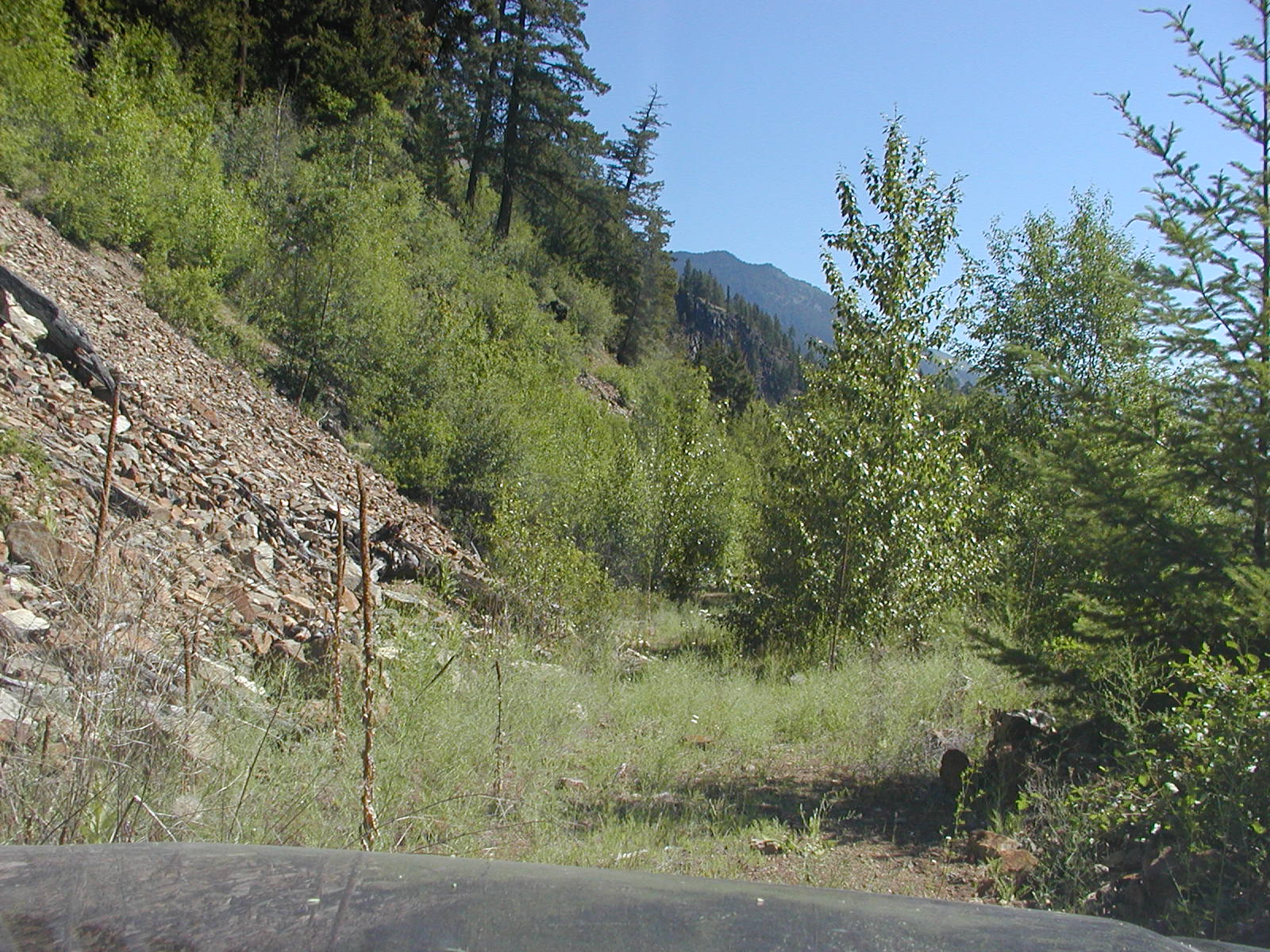
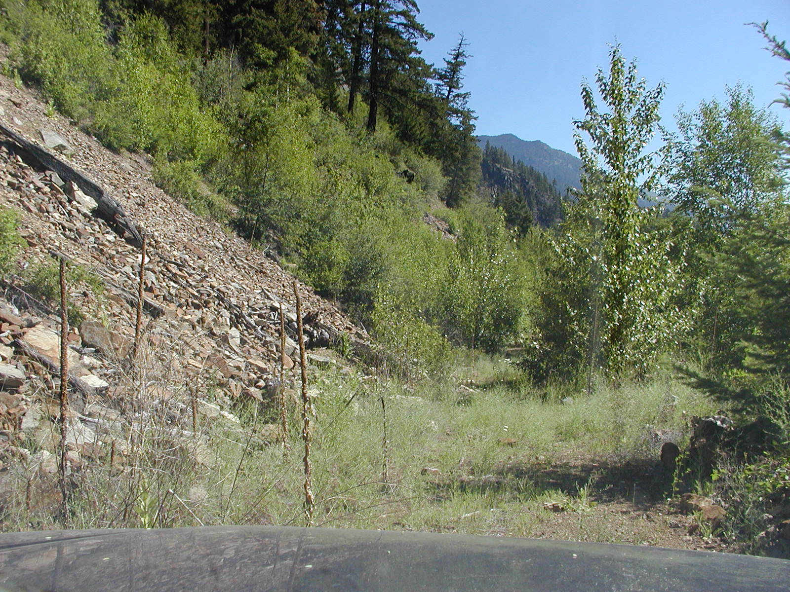
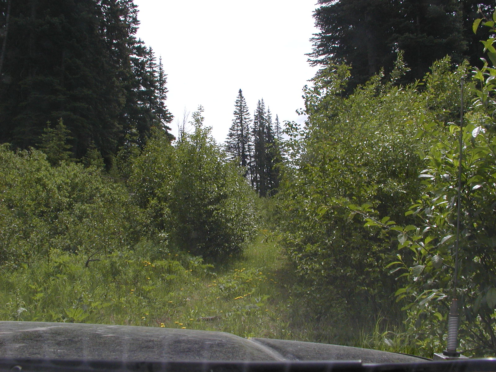
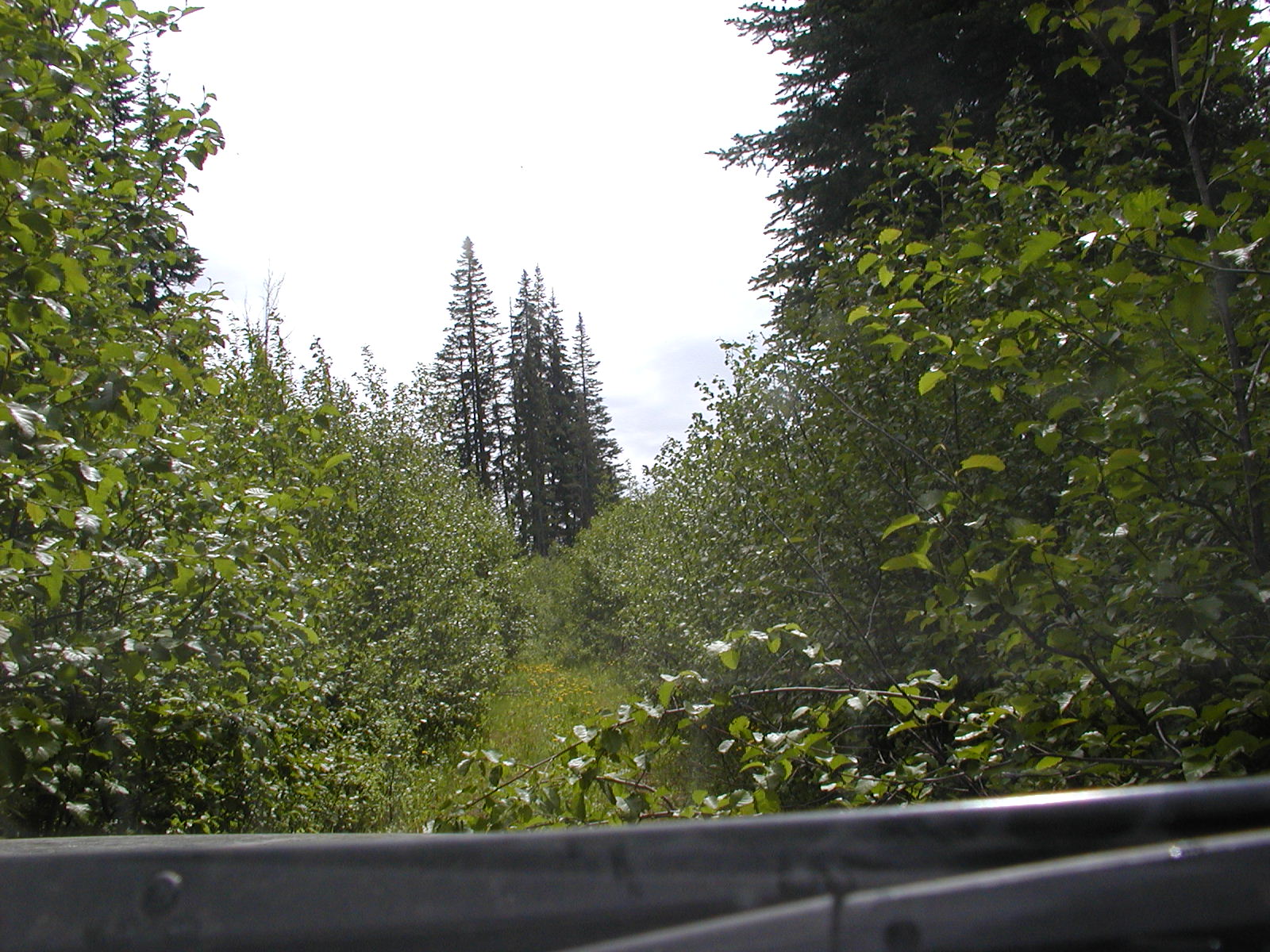
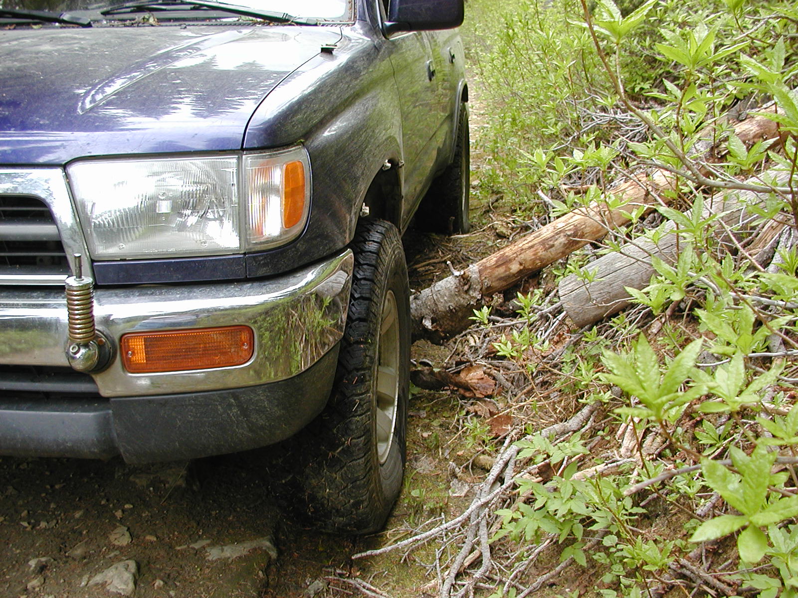
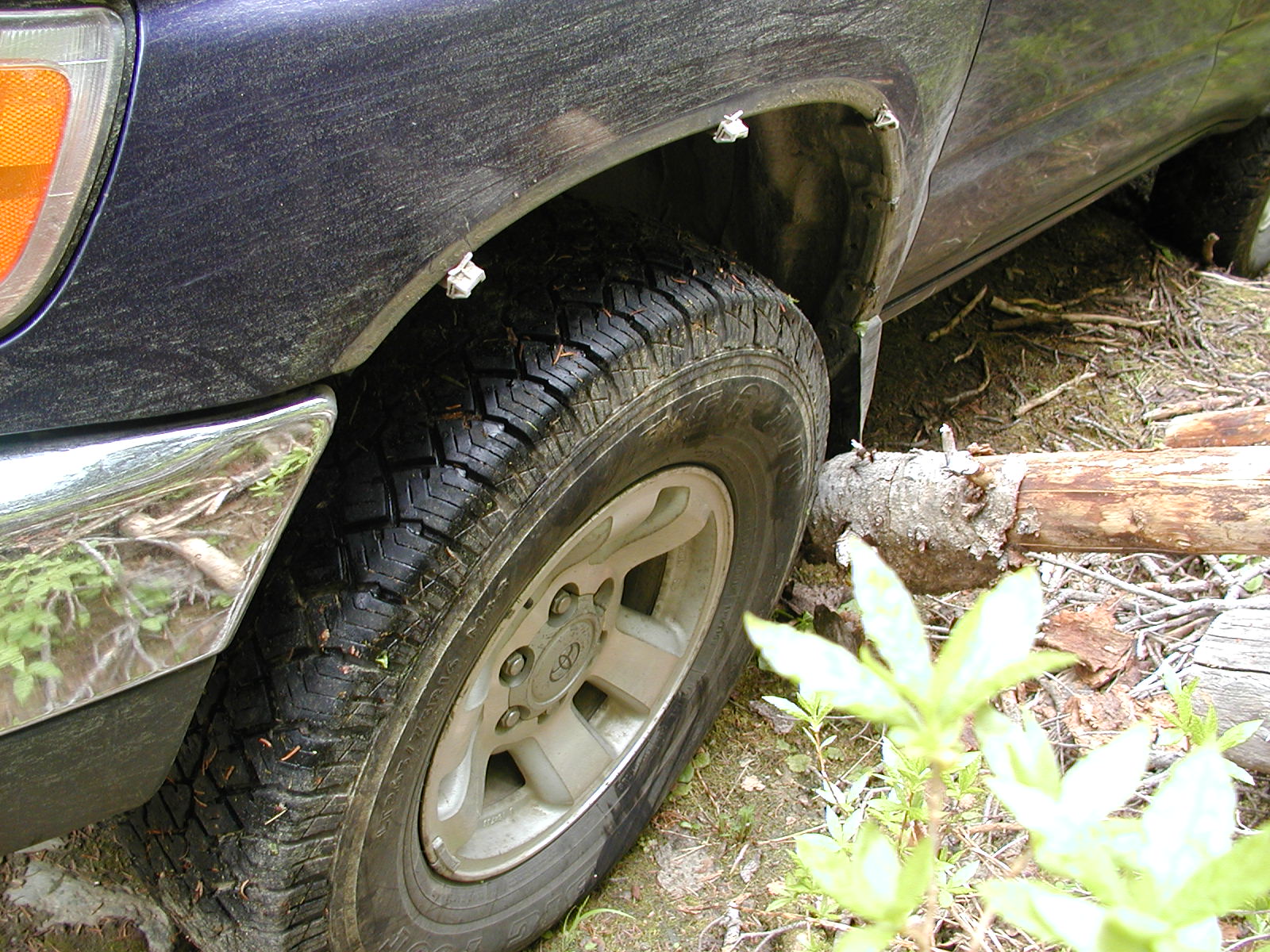
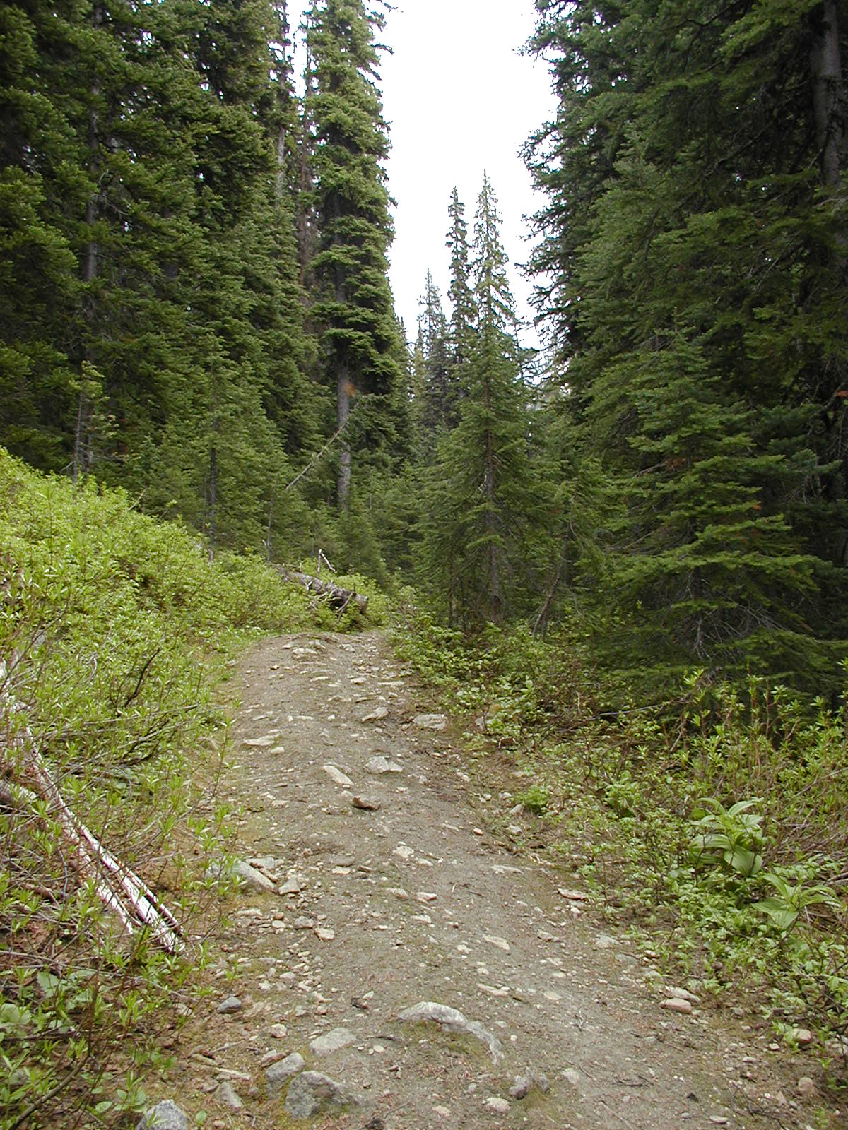
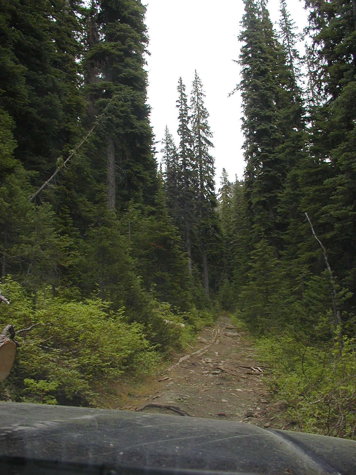
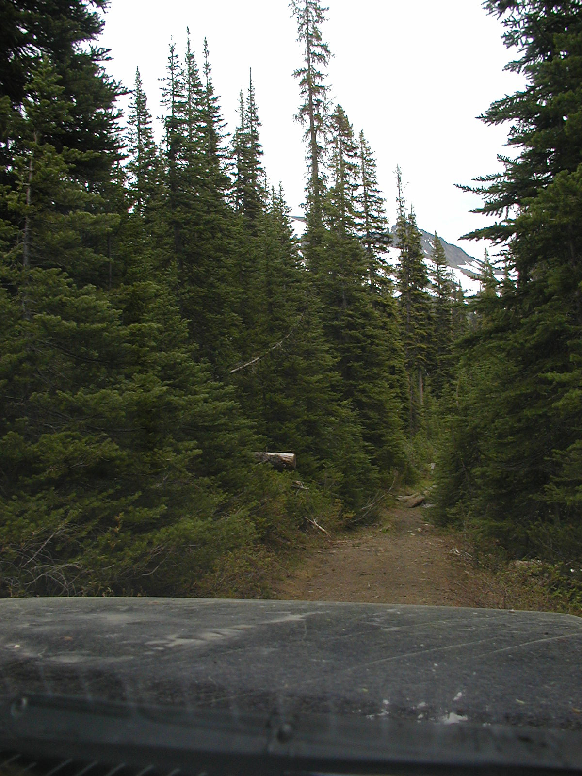
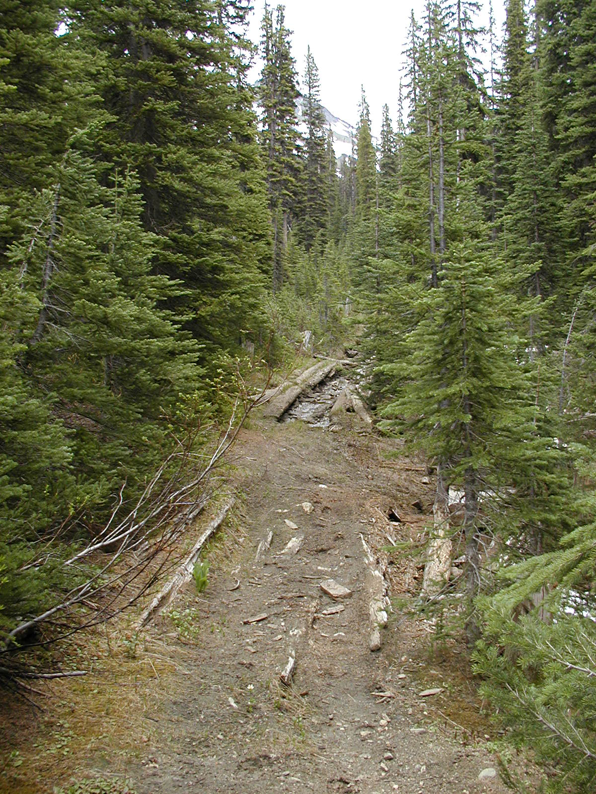
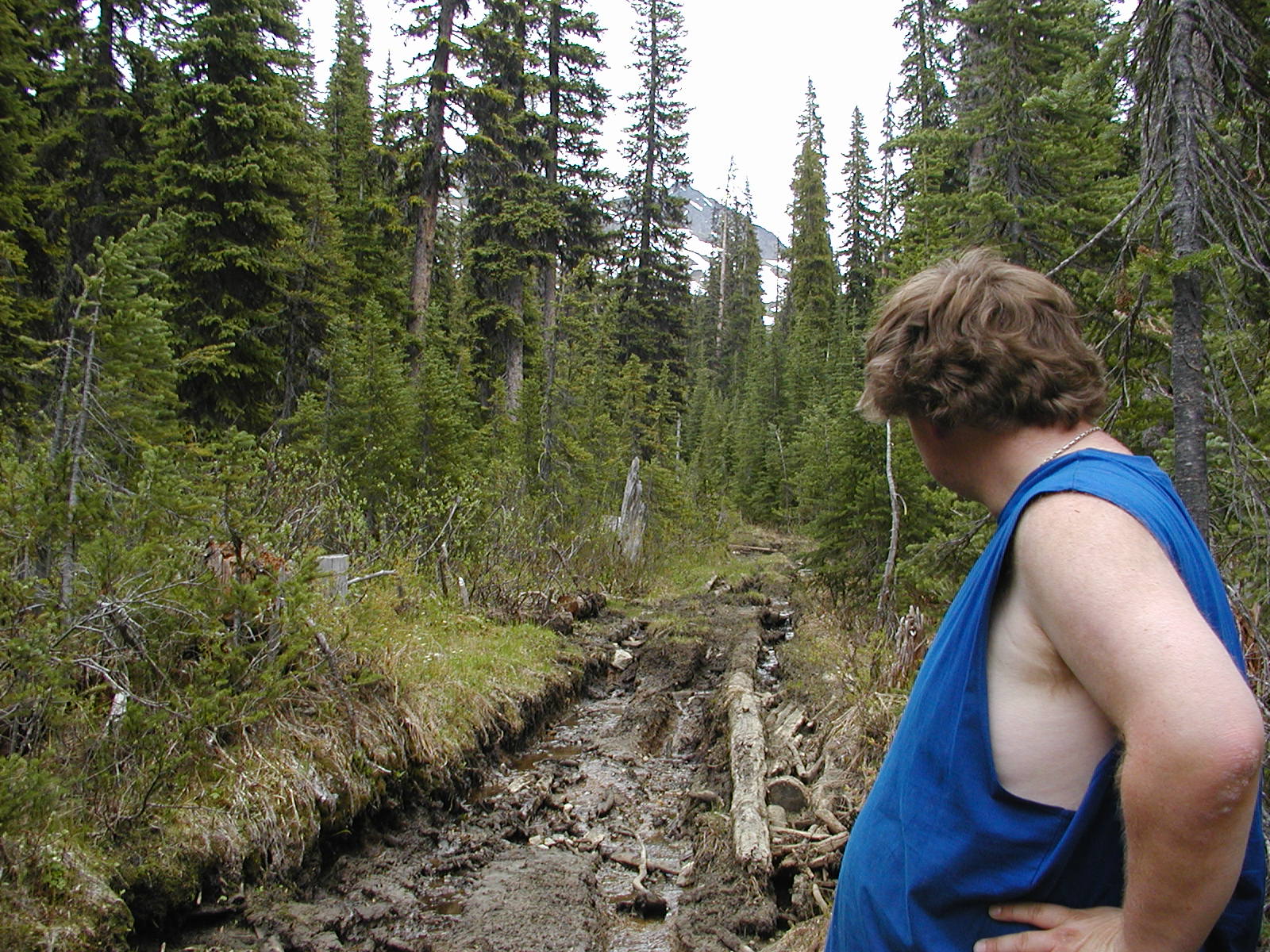
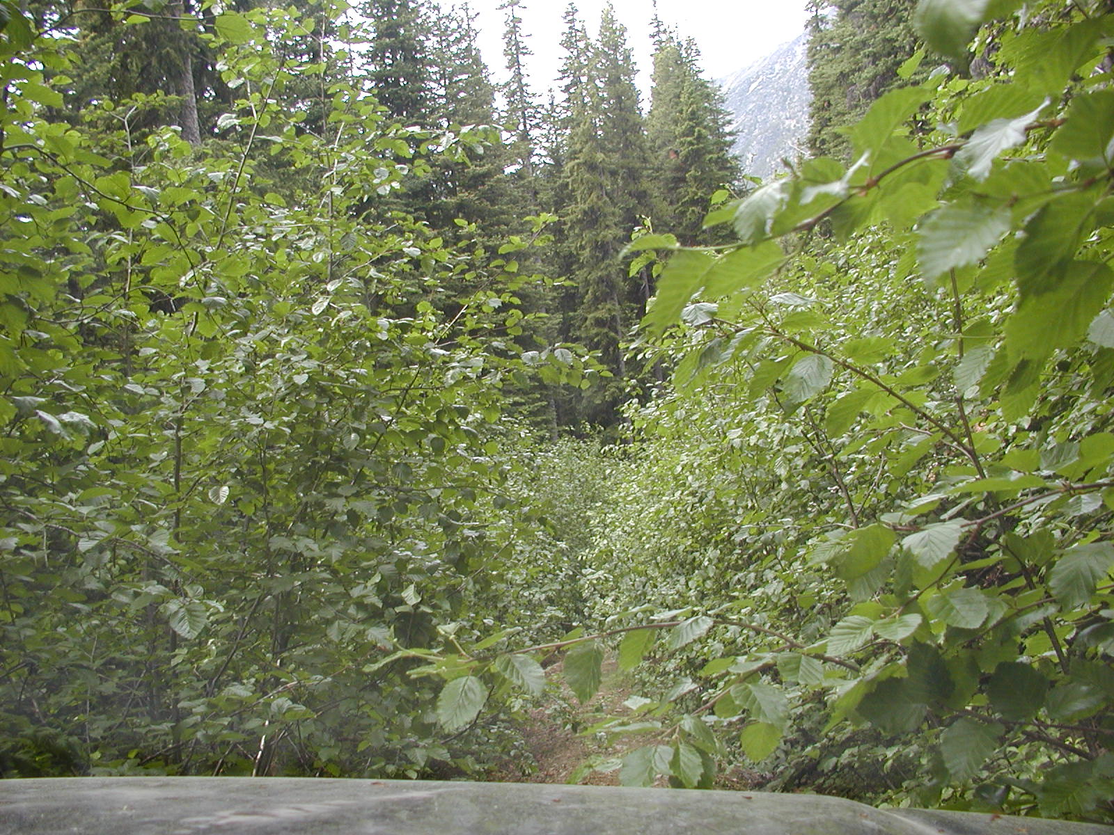
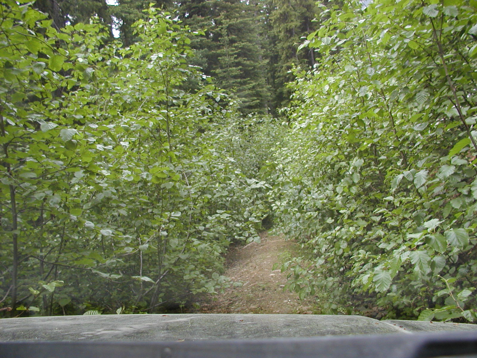
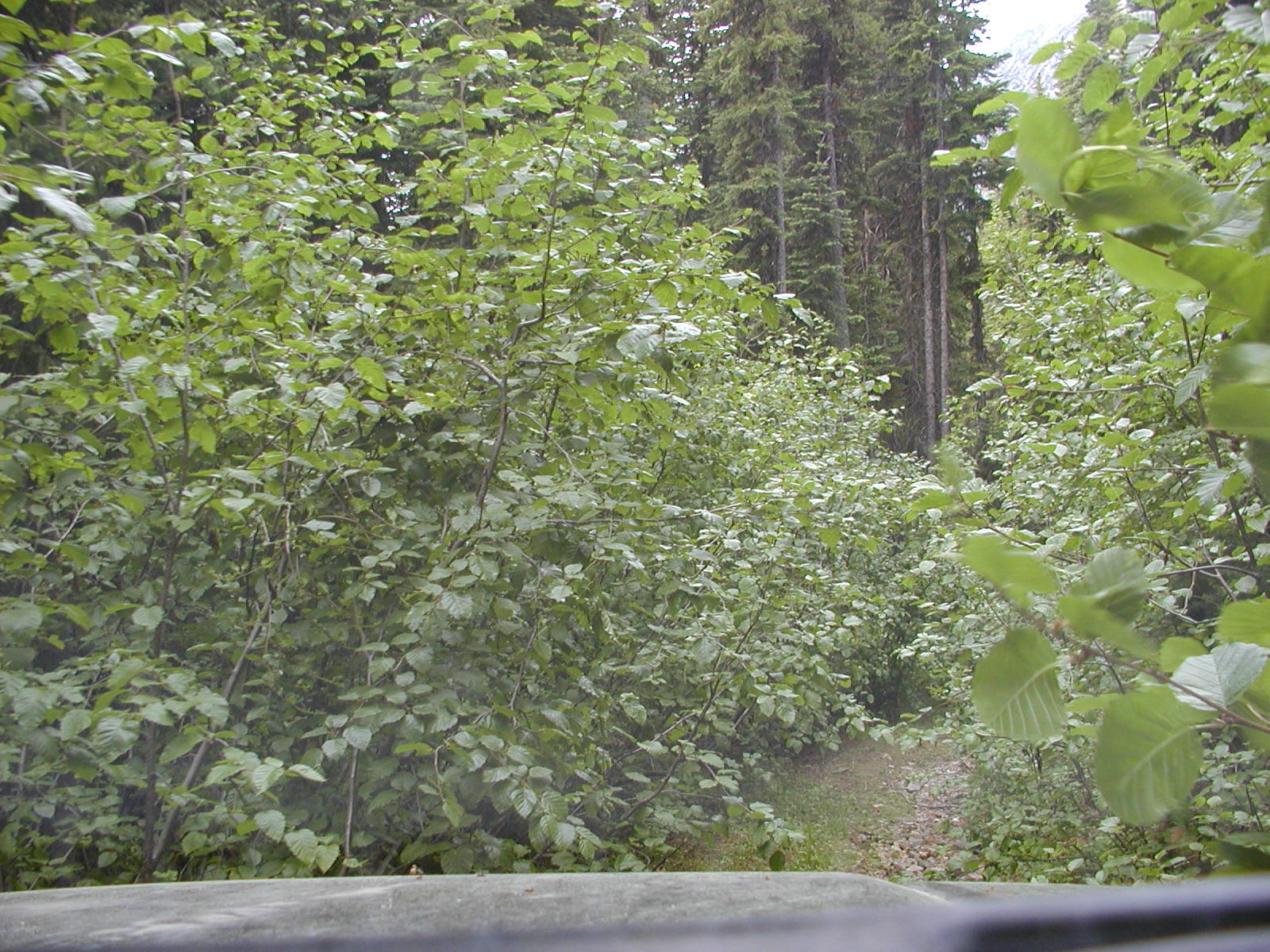
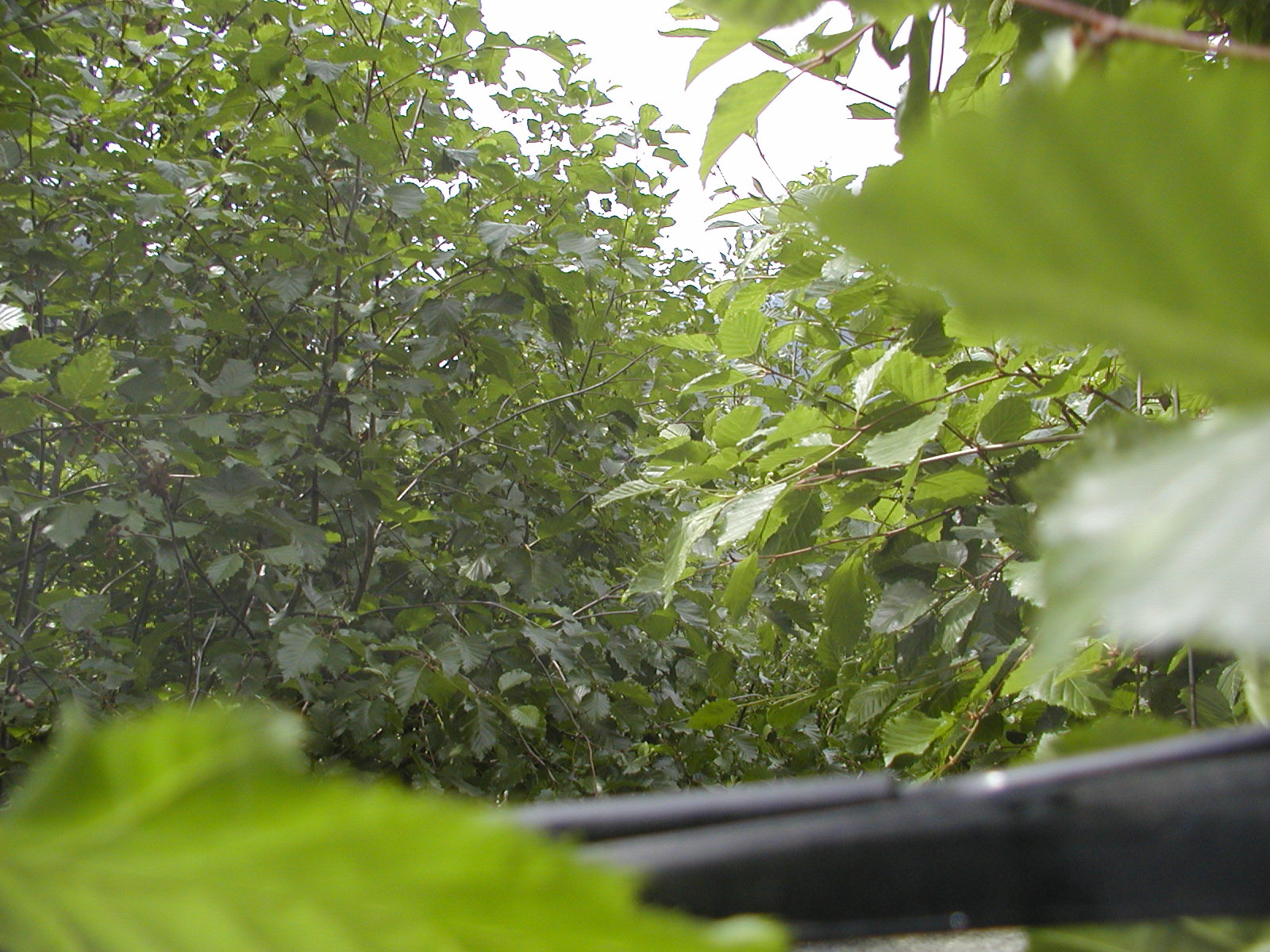
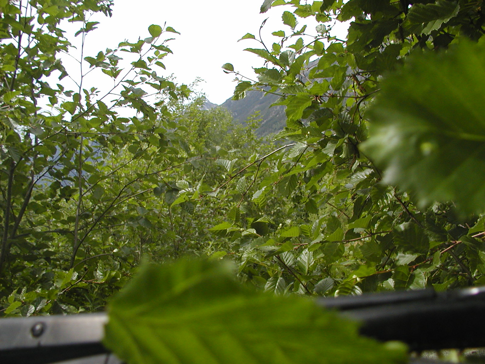
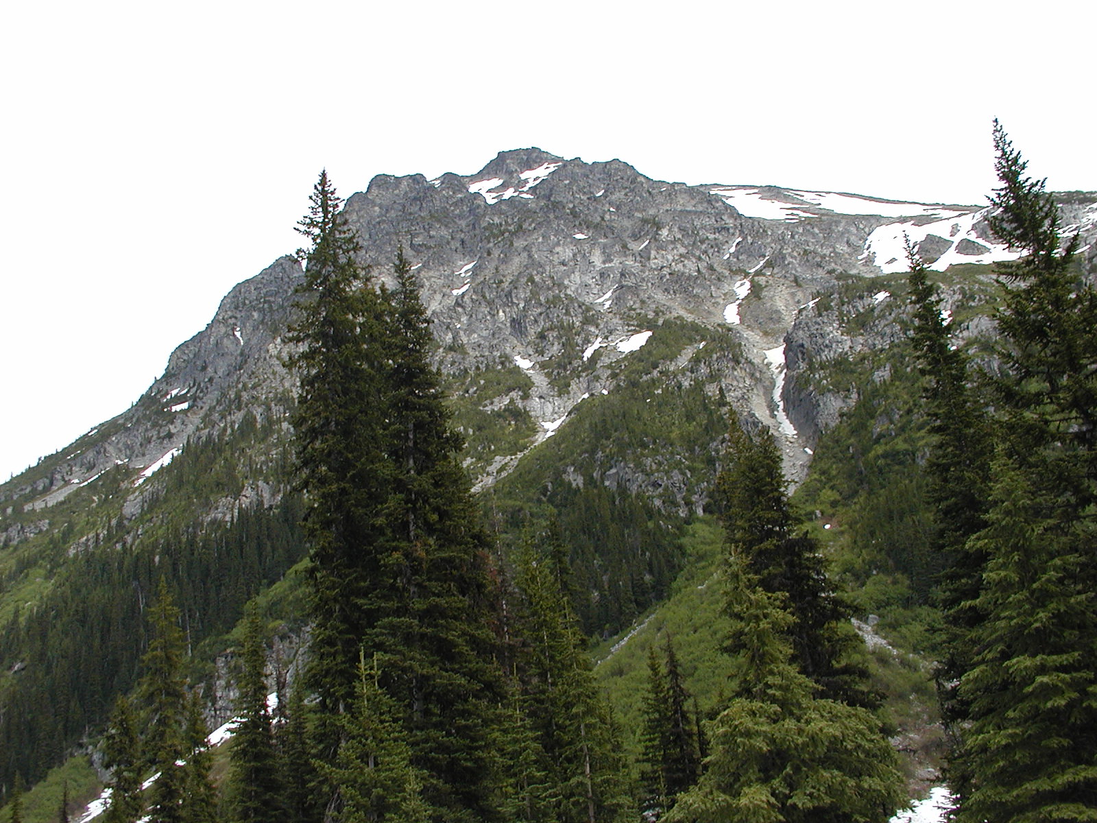
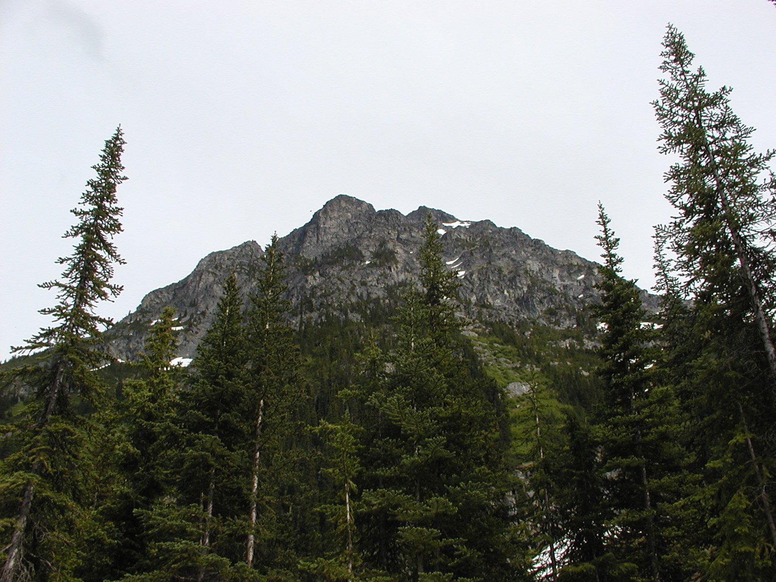
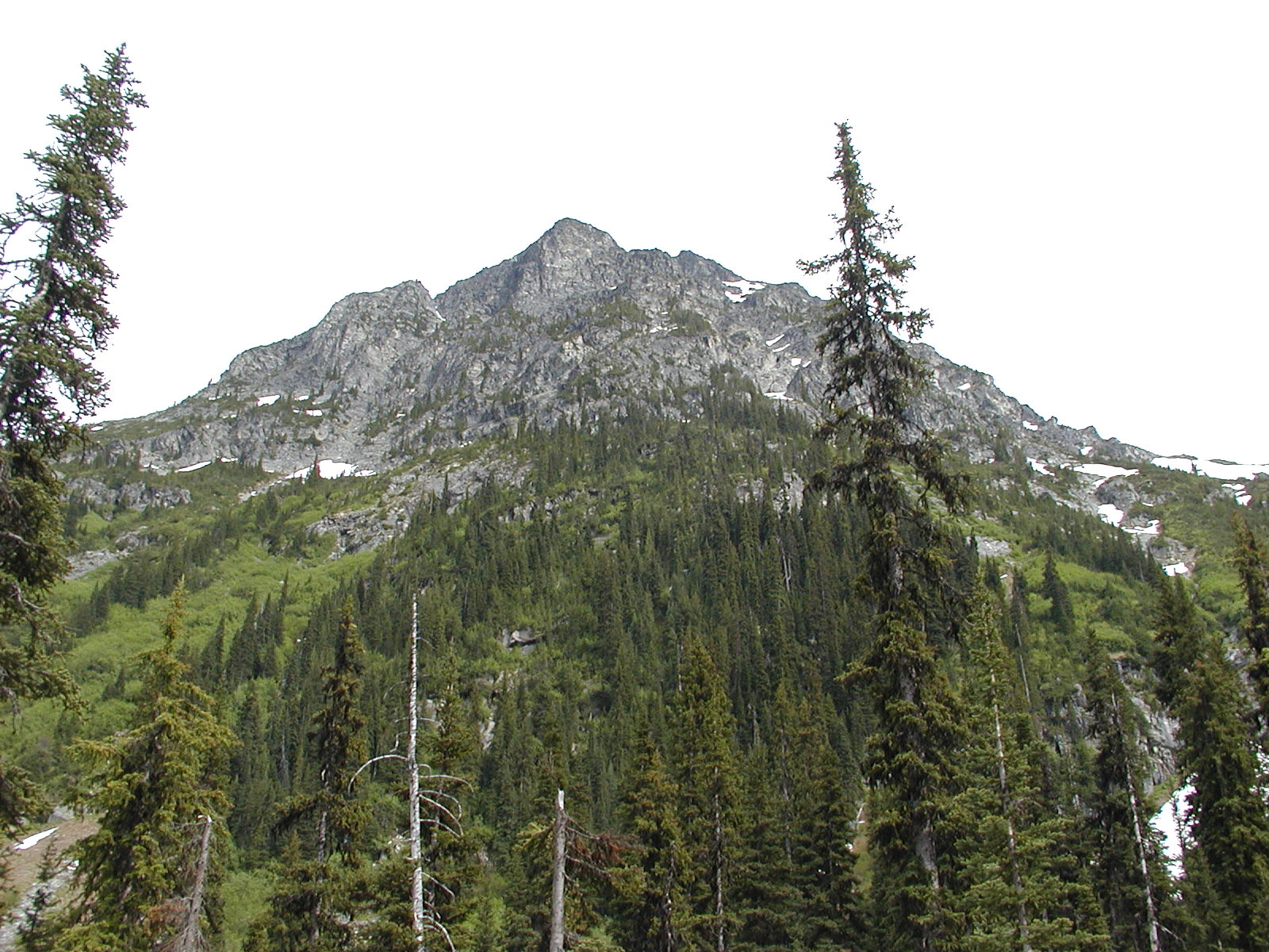
Over the bridge about 19 km mark and up a side trail to McGillvray Creek Trail & Pass 50.42//122.39 Very overgrown cross ditched area. We kept on the lower road to try and mimic the creek passage. We reached a T intersection for snowmobiles at 50.42.266 // 122.30.776 at 1503m and took the lower road. Lots of deadfall to clear by chain saw and extreme off camber sections that would bed a nightmare in wet weather. At one point Bradley thought he could clear a tree hanging over the cliff side and ended up wedged with a piece of the wheel well off. Looks like the trail had not been traveled by a real truck for eons. Would be a good ATV trail though.
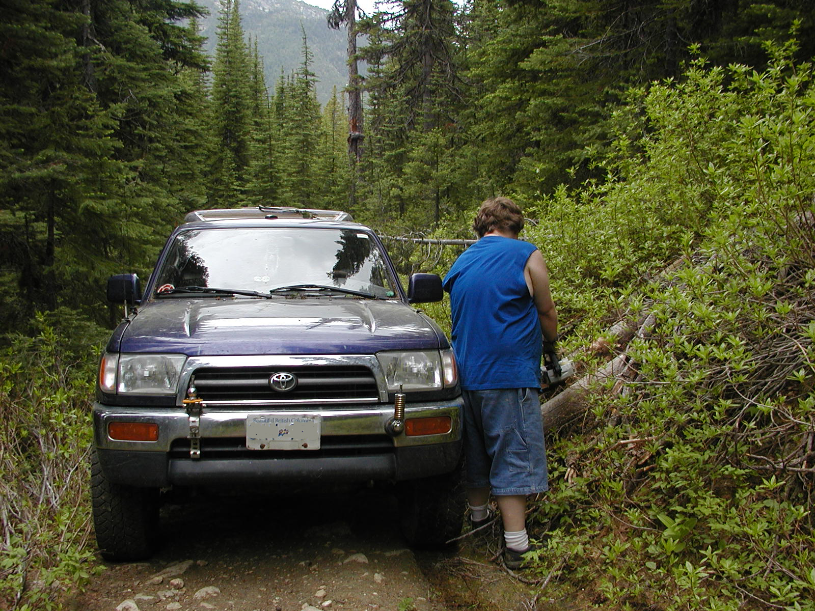
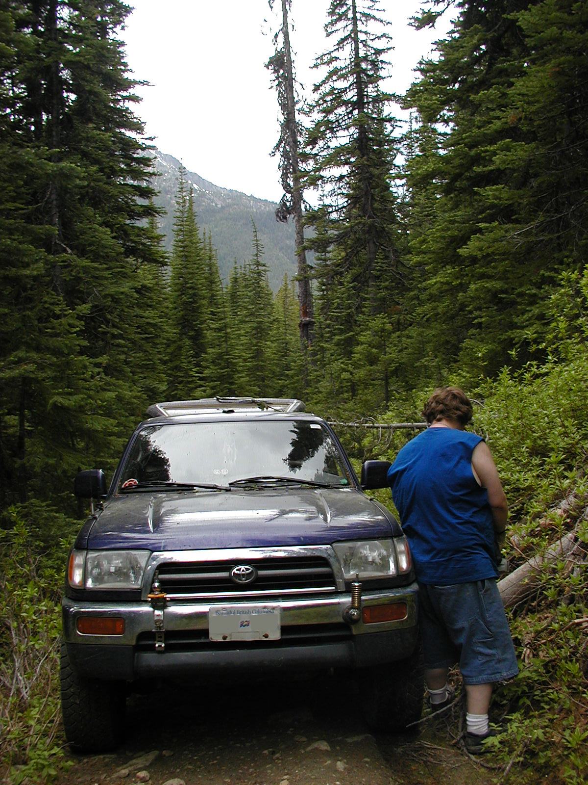
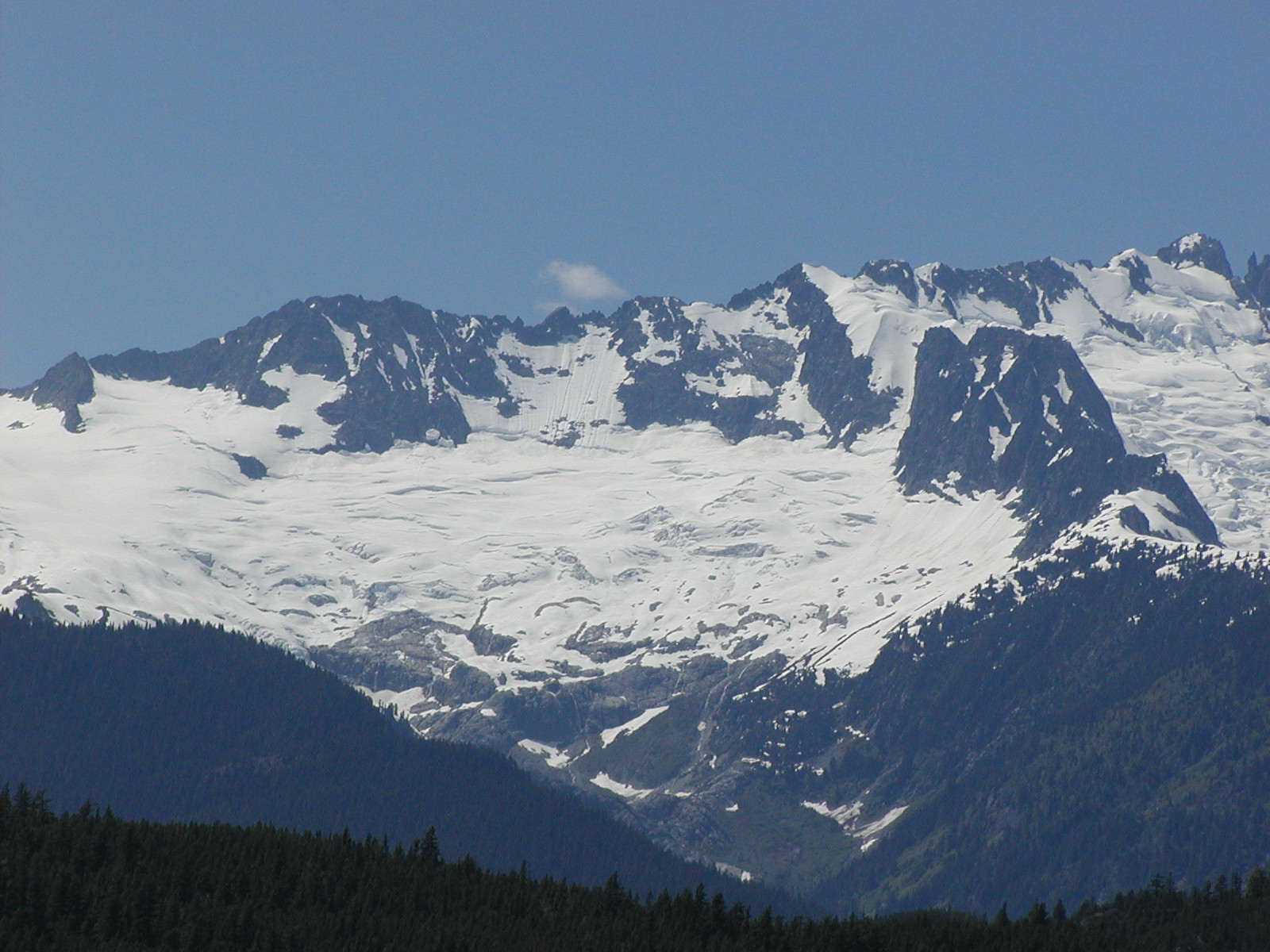
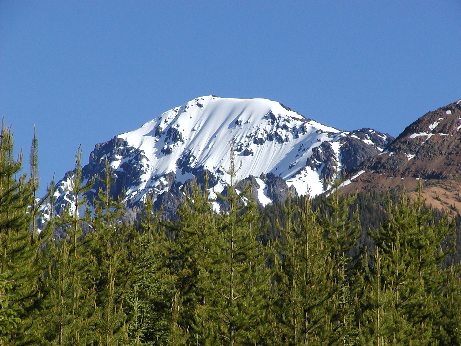
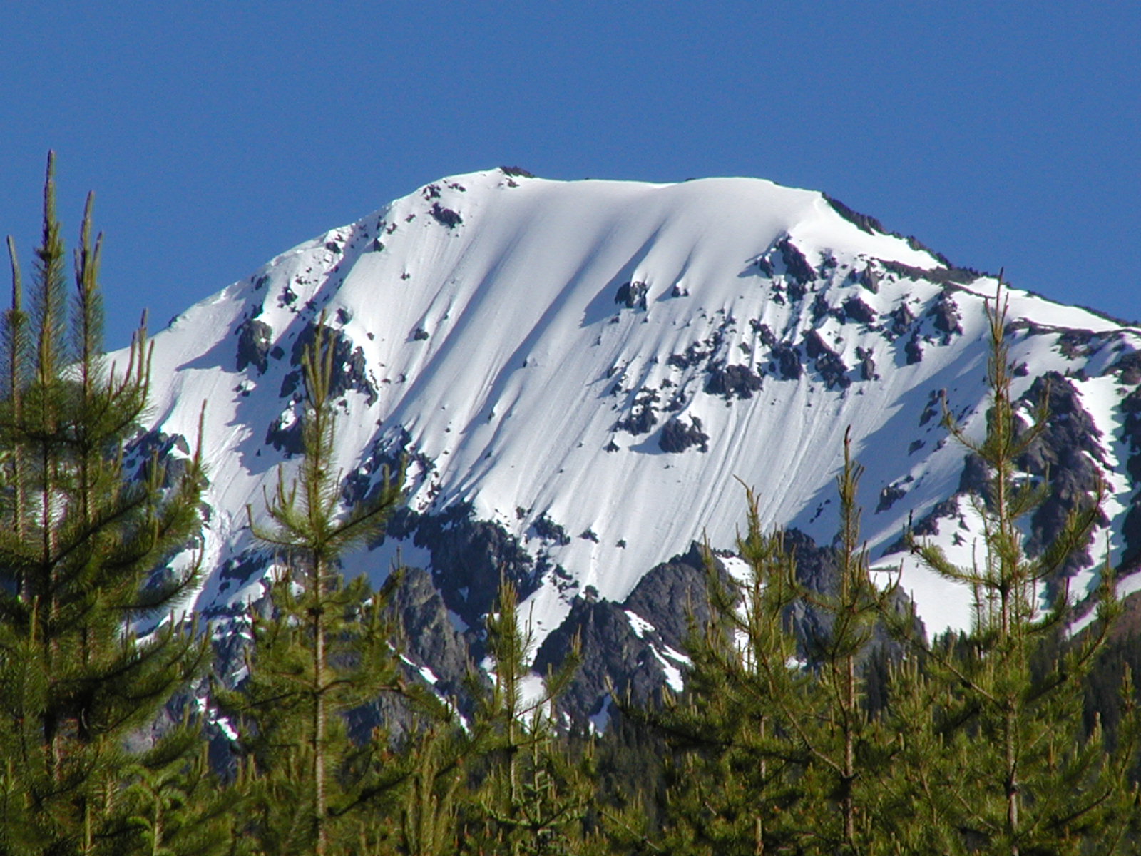
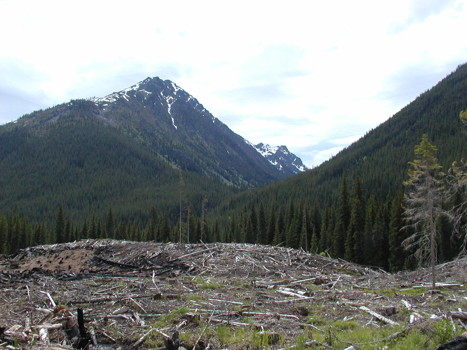
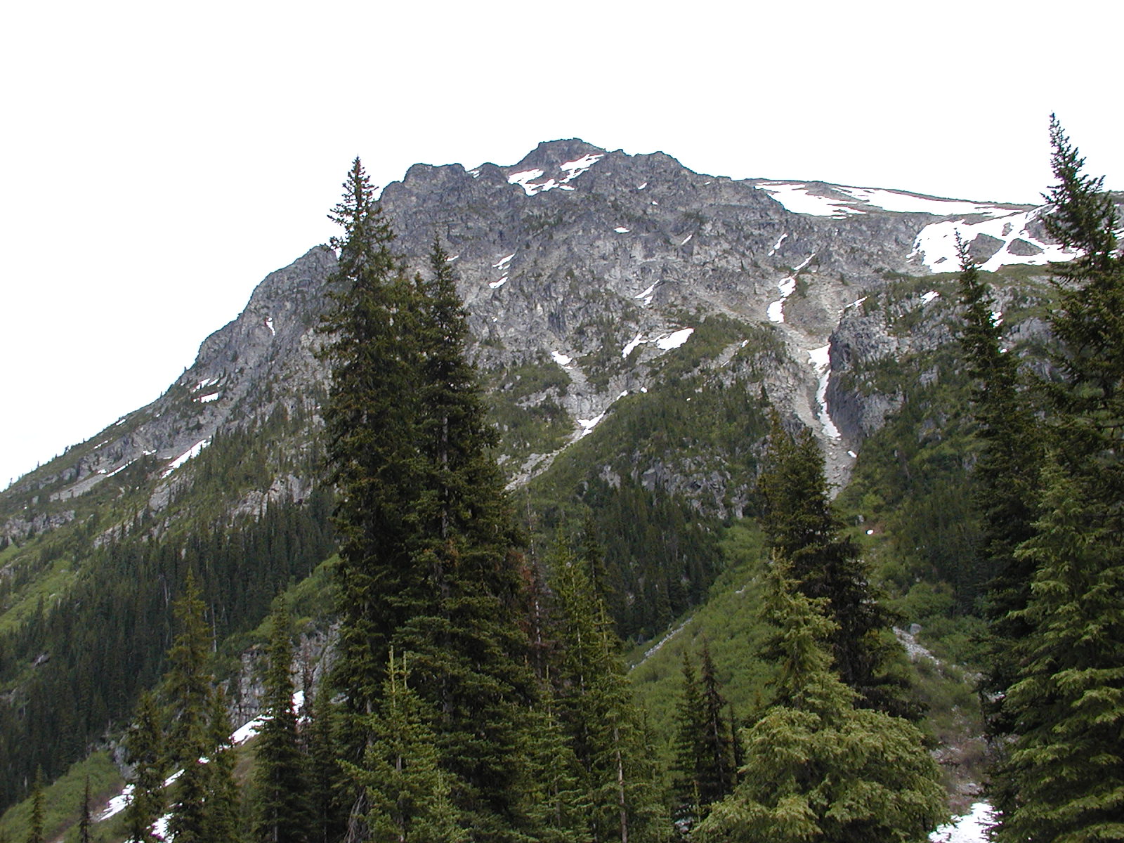
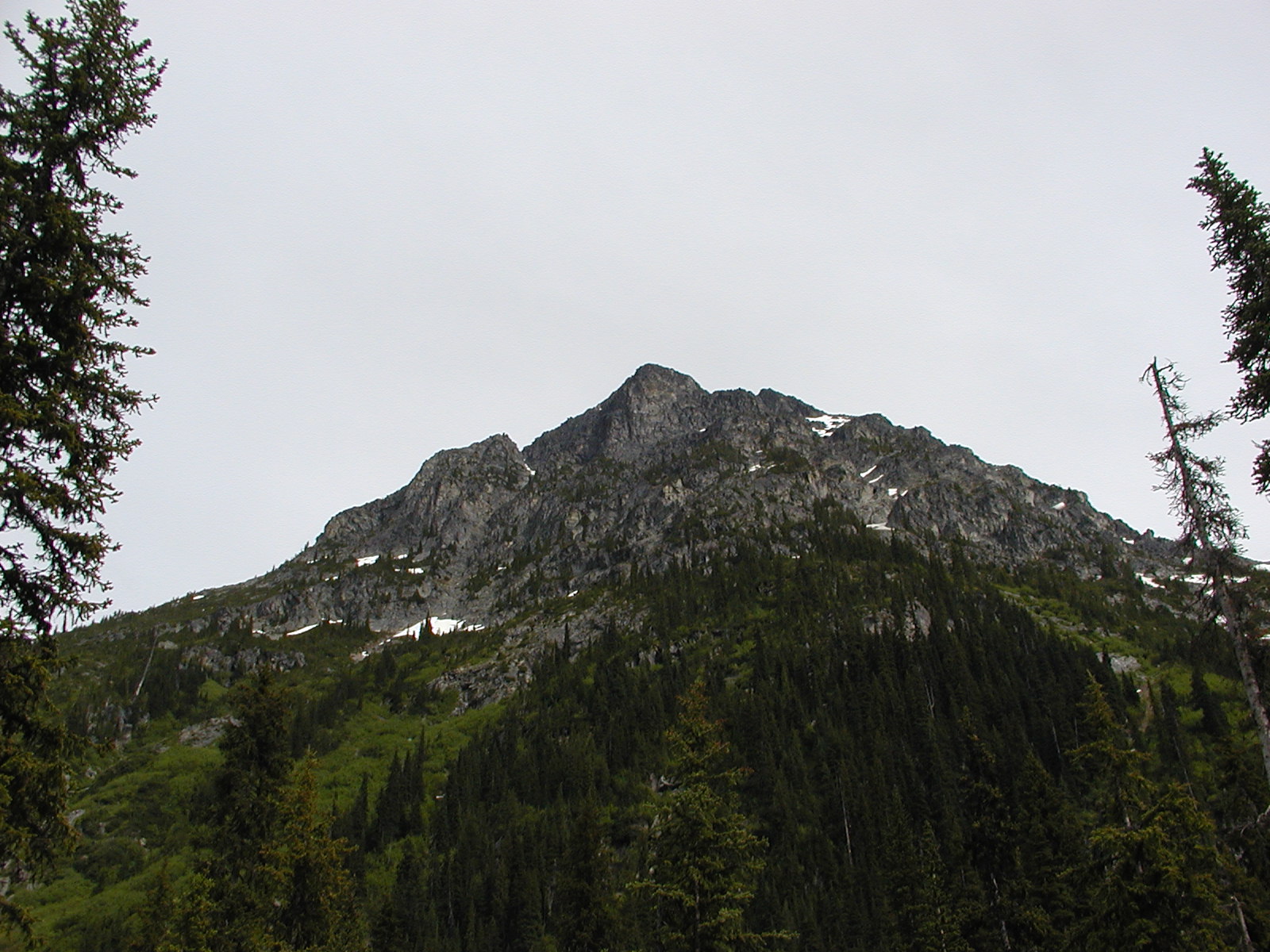
Near the top of the pass with the McGillvray Mt snowline right where we were we came to the head of the creek 1670m. The road was unpassable by vehicle - no way no how! Damn! so close and yet so far! It looked like the washed out section with snow patches around us had been built up a couple of times but good ole' mother nature decided to make her own way for the stream.
So back we turned and headed down the off camber tree'd in sections to the mainline, but at least this time we didn't have to stop every few feet and chainsaw tree's!
When we hit the mainline again we decided to follow it onwards to the dead end and possibly find a camp for the night. We were still up around the 1500m level though. We followed the mainline to the what the forestry company said was active logging but they had blocked the road with the downfall and looked like they hadn't been working there in a VERY long time.
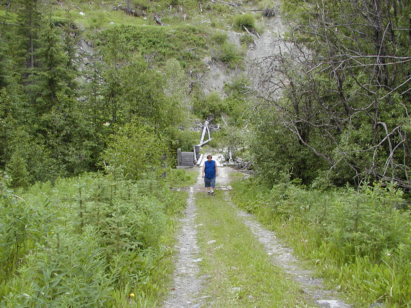
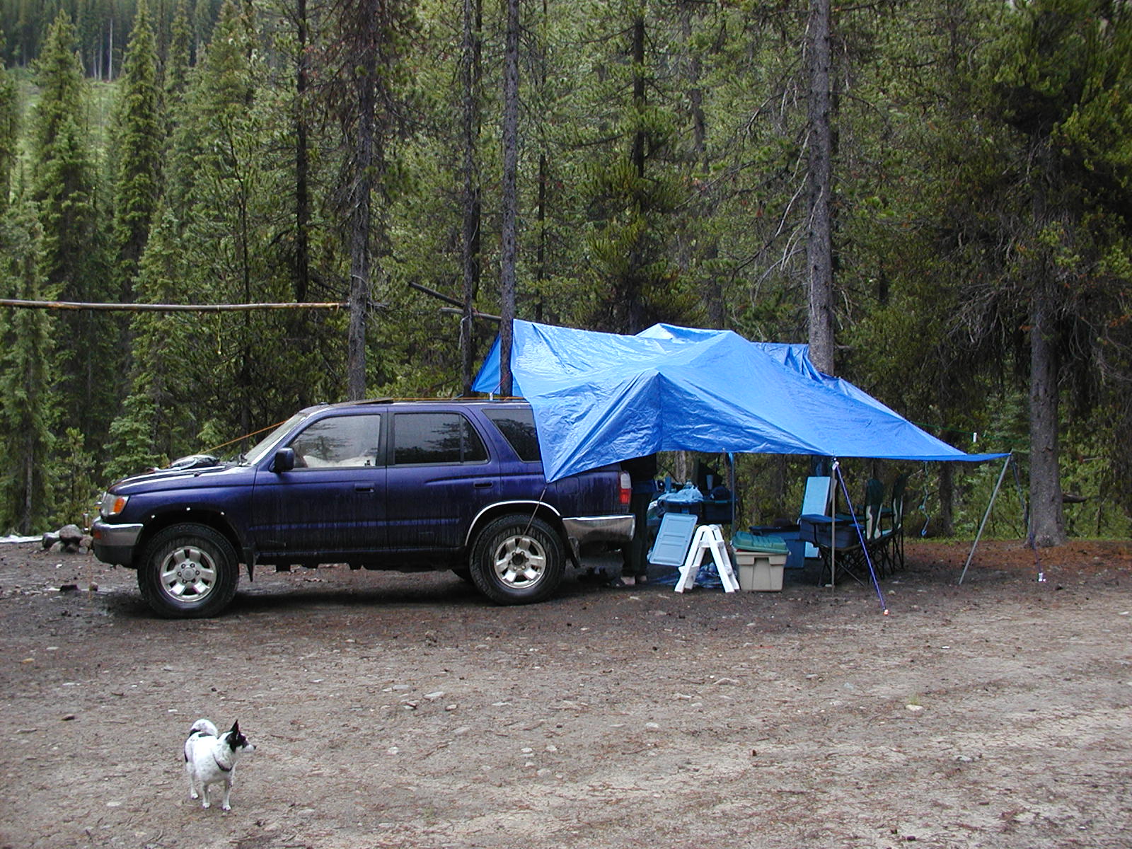
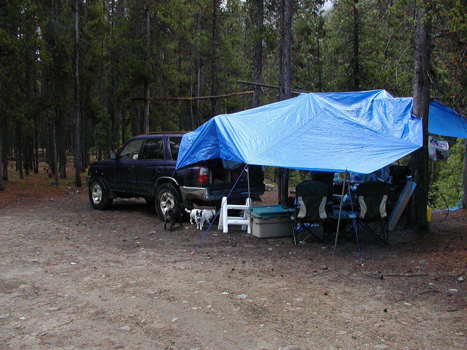
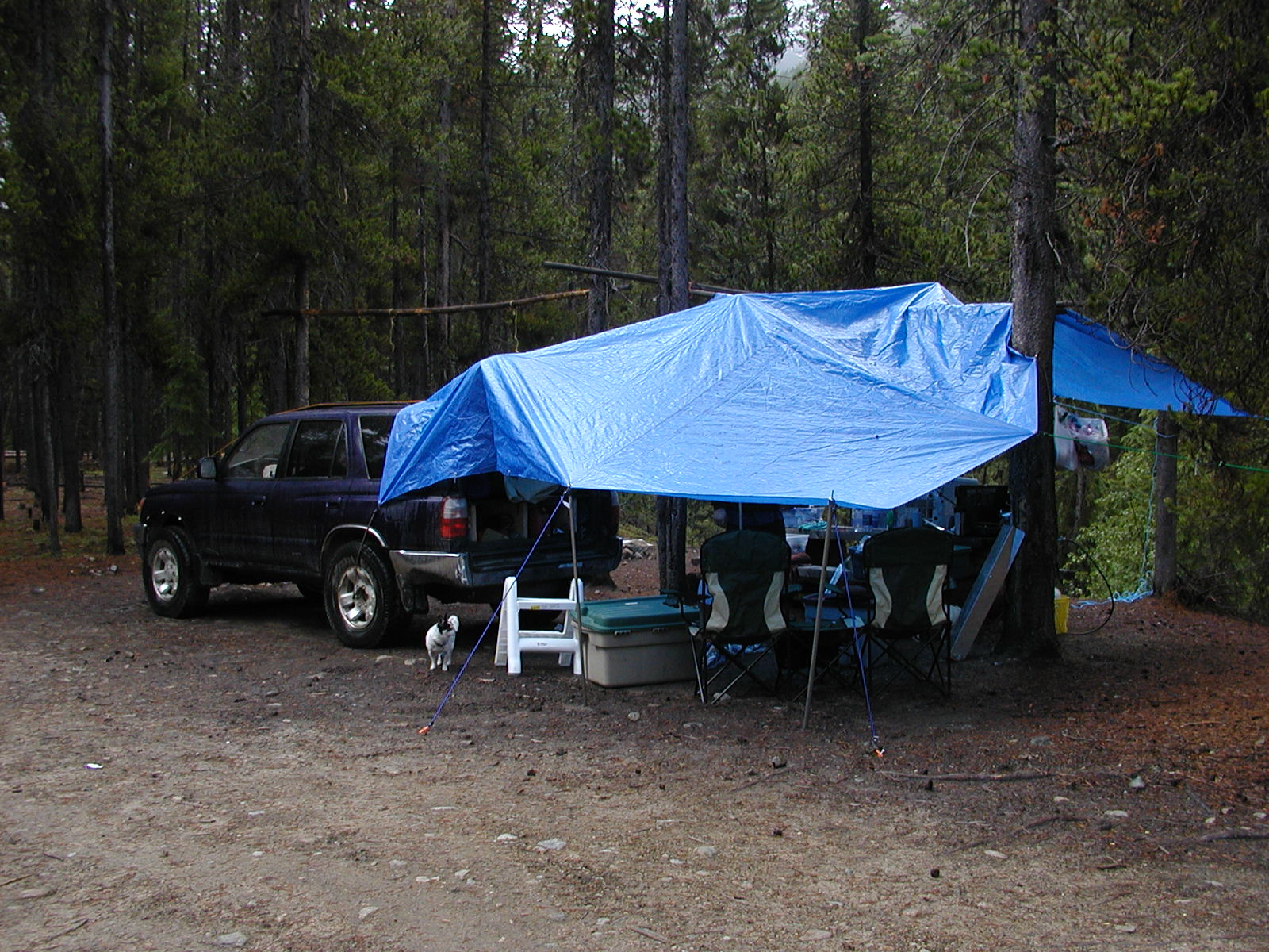
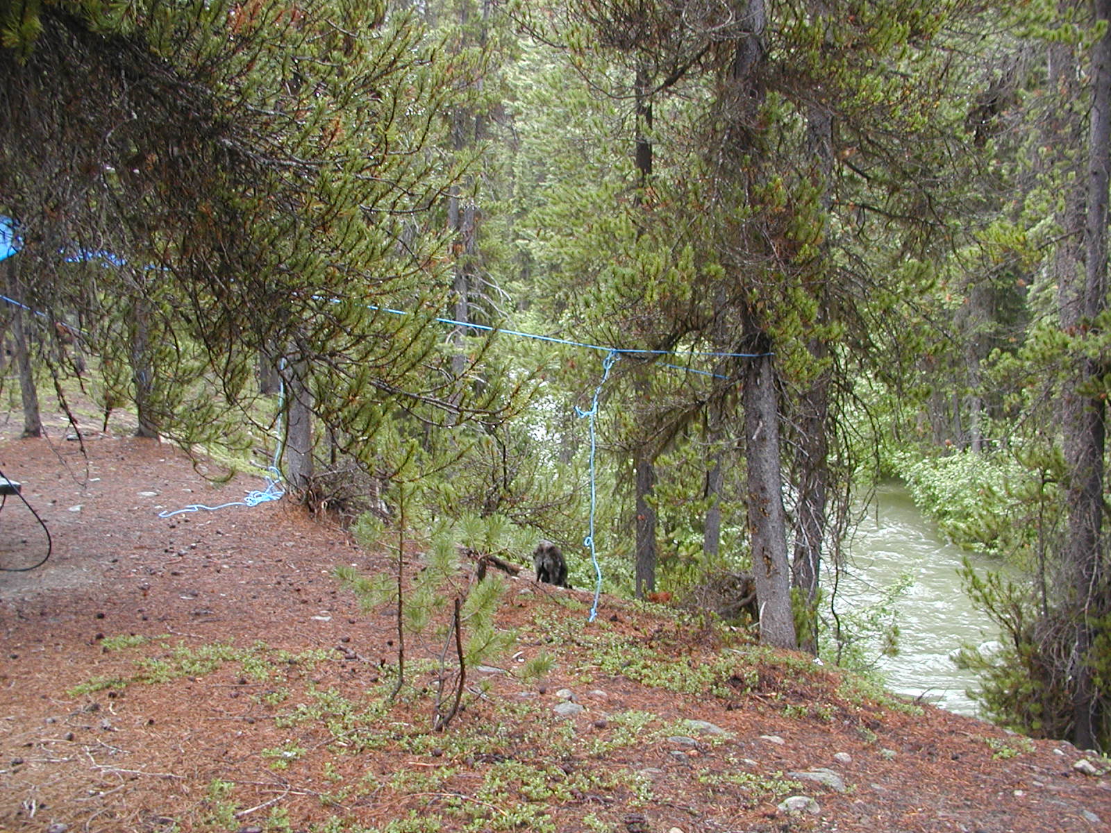
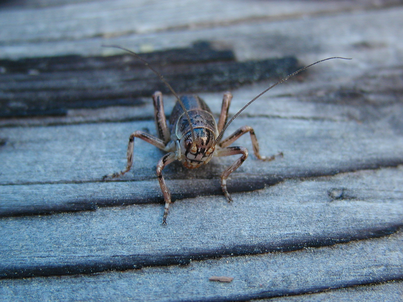
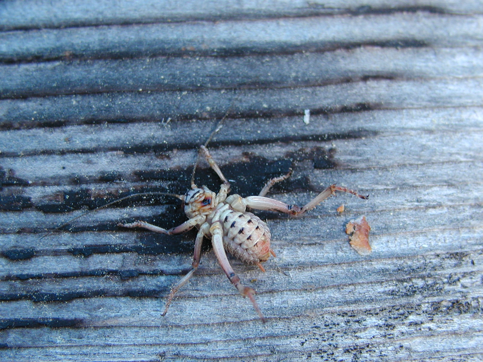
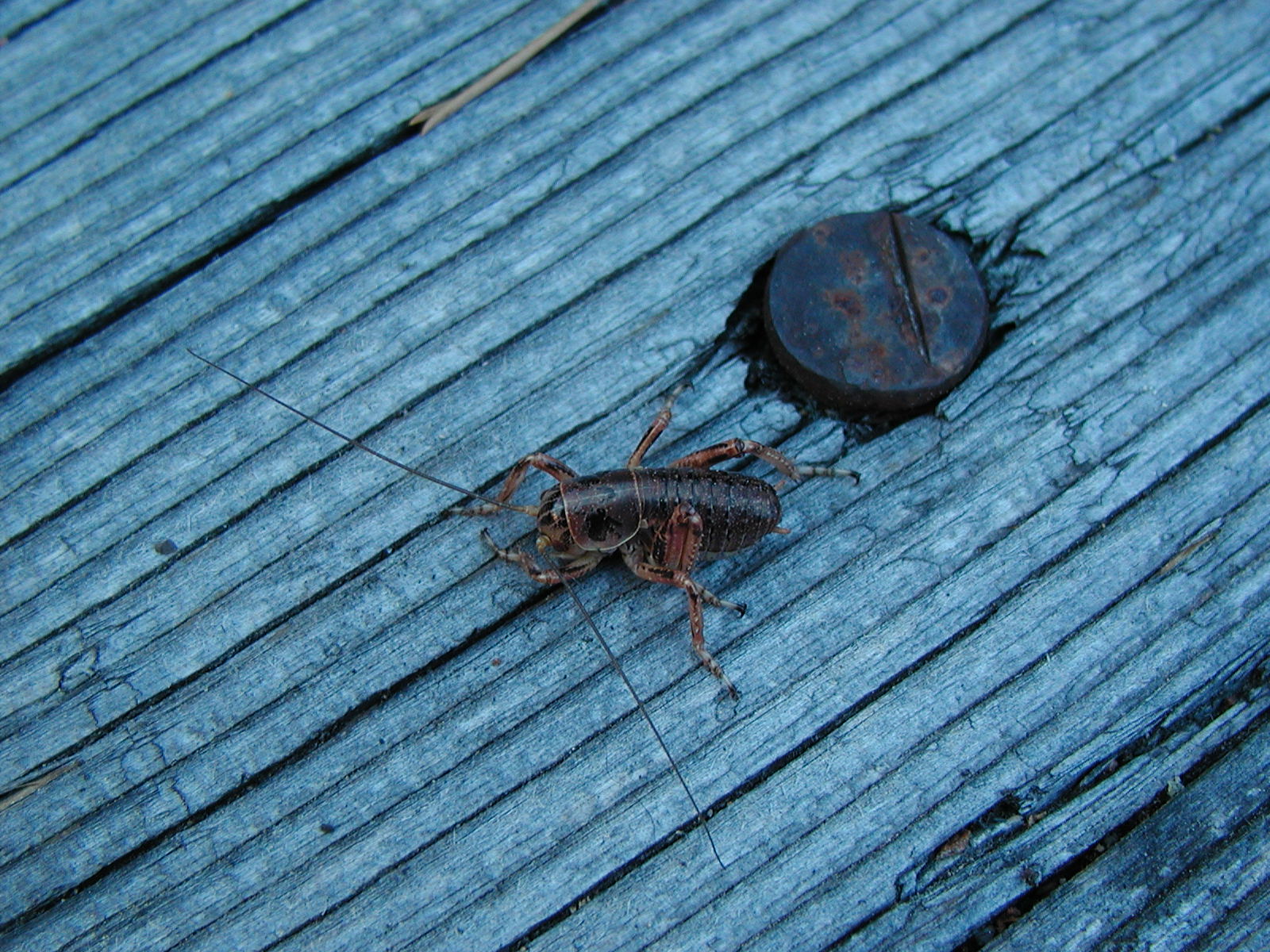
We headed back and camped at the Chism Creek Trail Rec Site at about the 14.5 km marker. There was a vehicle and foot bridge there to go up to the Dan Tucker Mine about 2.7 kms up the road. However the road was extremely cross ditched again so it would be a trip for another time. The bugs were bad that night - not the mosquito's but the no seeum's! The rain finally came down and even so the bugs never relented. Lorilei managed to concuss herself with a tarp pole under tension right smack in the forehead so the night ended very early.


DAY 4 So many roads so little time ...
Back into Gold Bridge and out the Hurley FSR to Pemberton and home. So many roads found and so little time. This is a place to be further explored for sure!