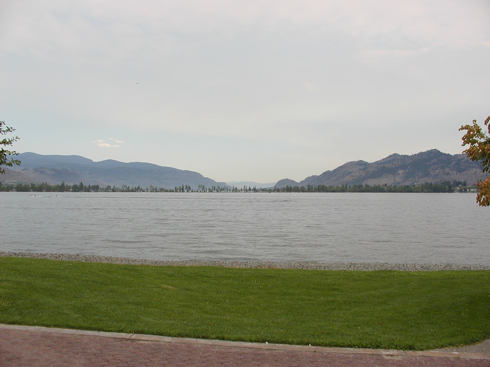
Arrow Lakes (Page 1)
July 30 - Aug 3
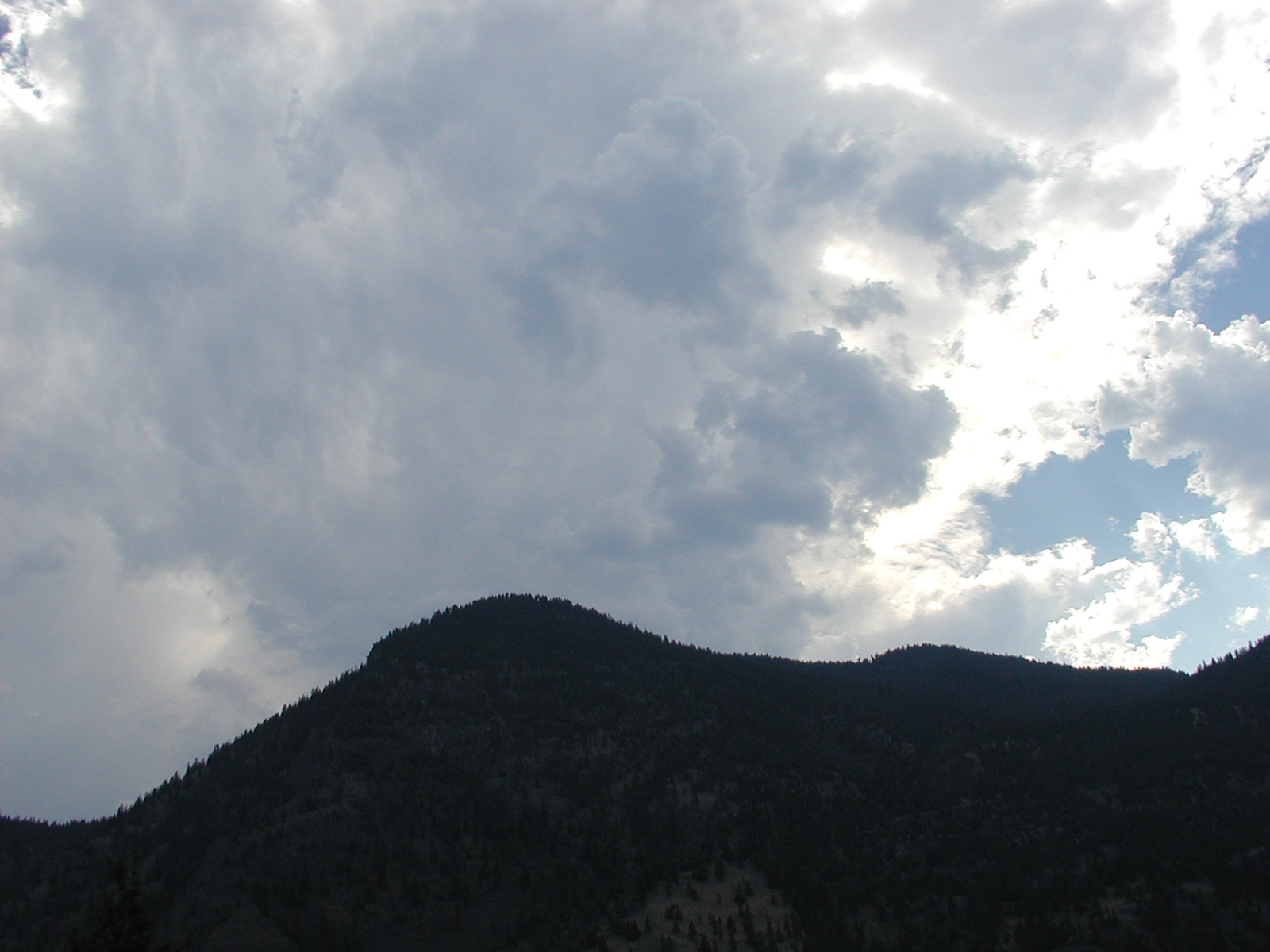
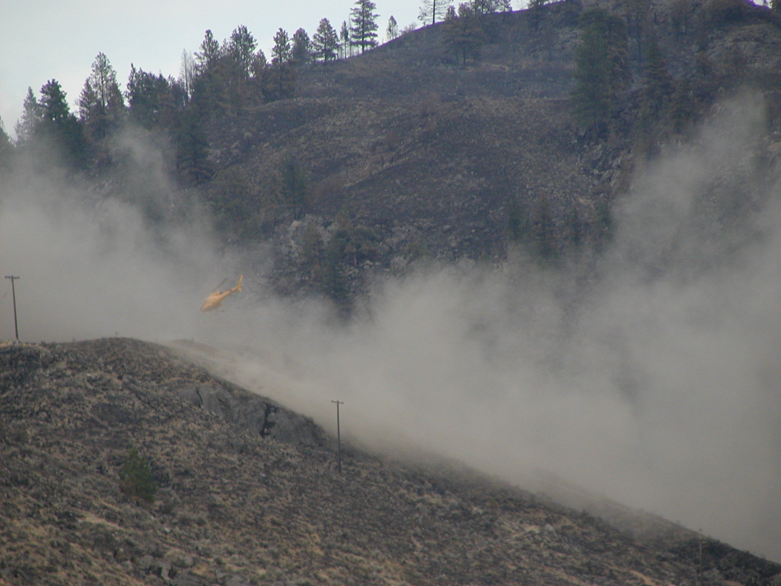
Cathedral Park Fire as seen from Hwy 3 south. The fire was still in the USA but burning very close to the border of Canada & the USA, Washington State.
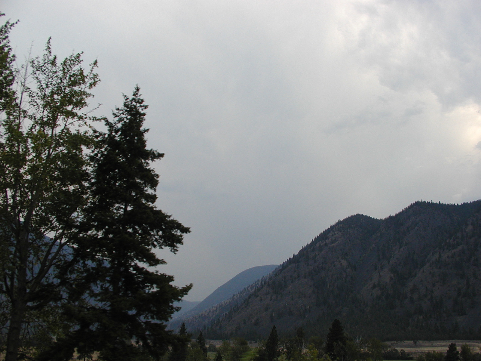
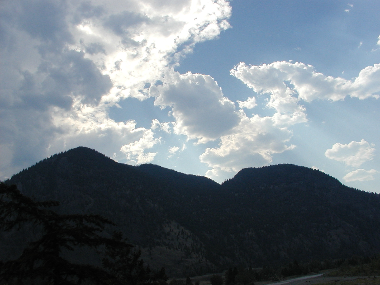
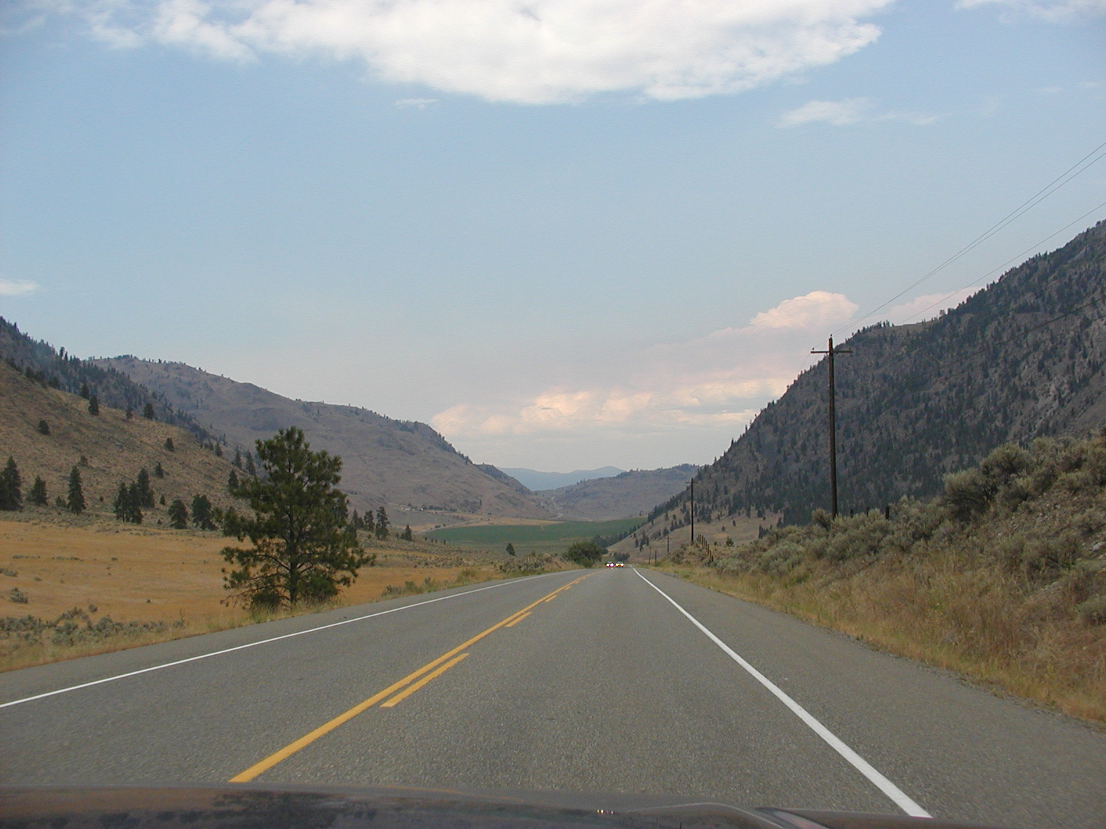
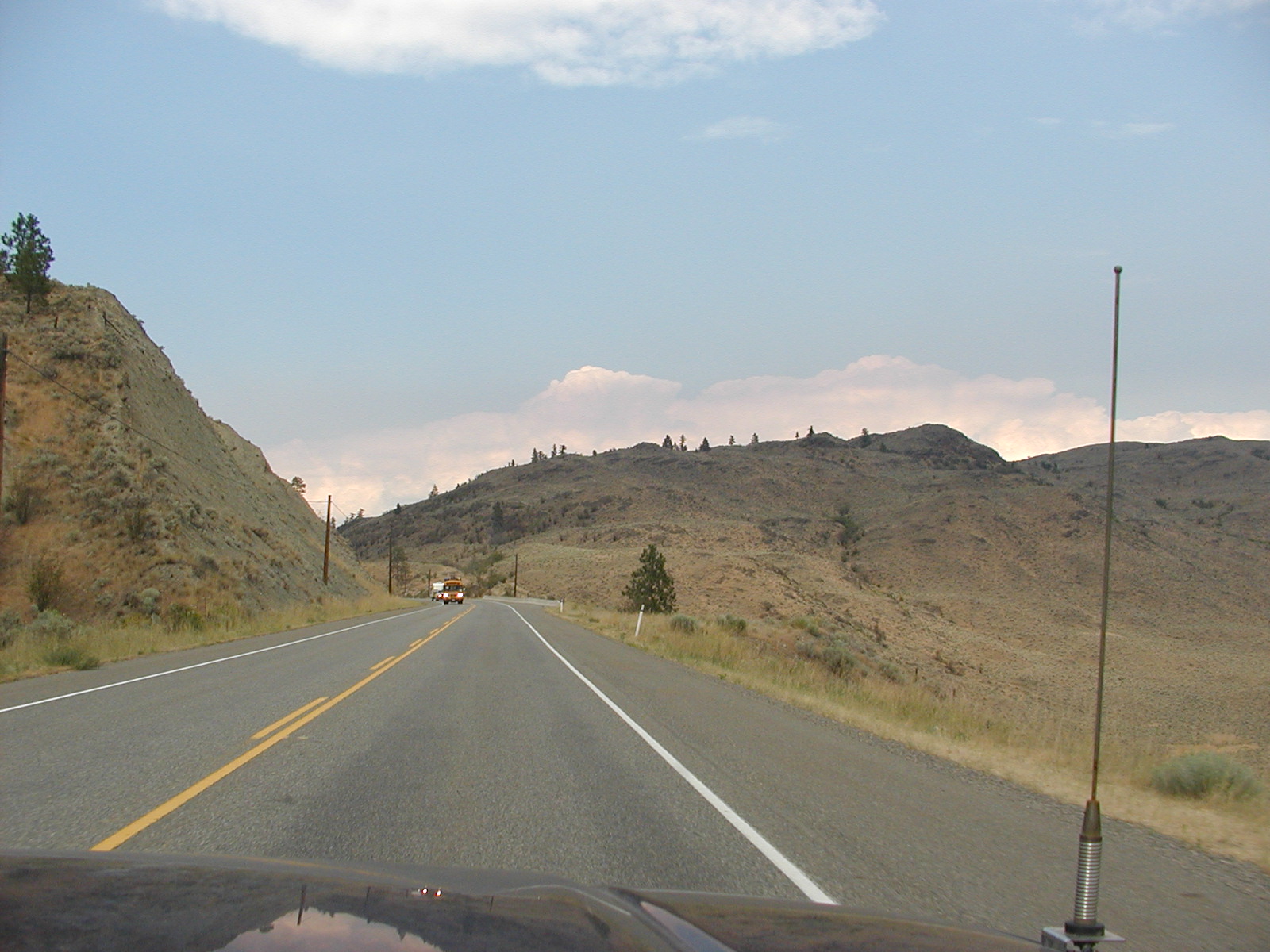
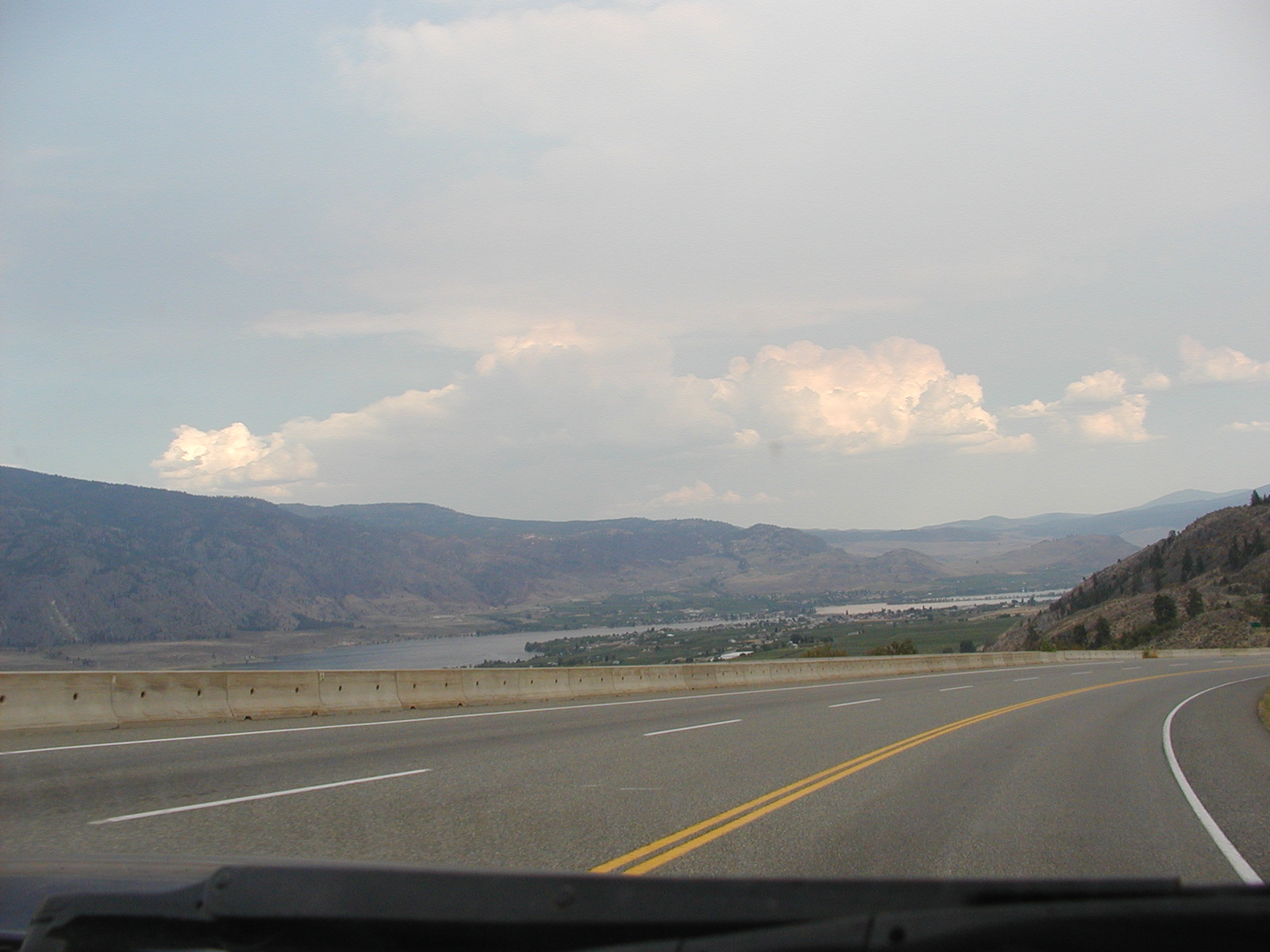
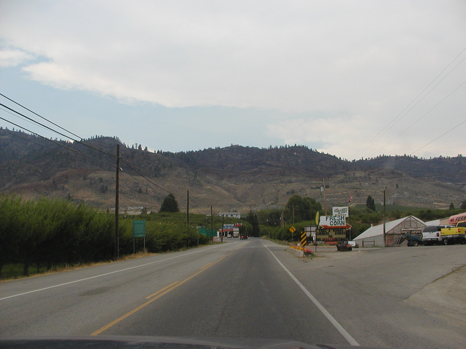
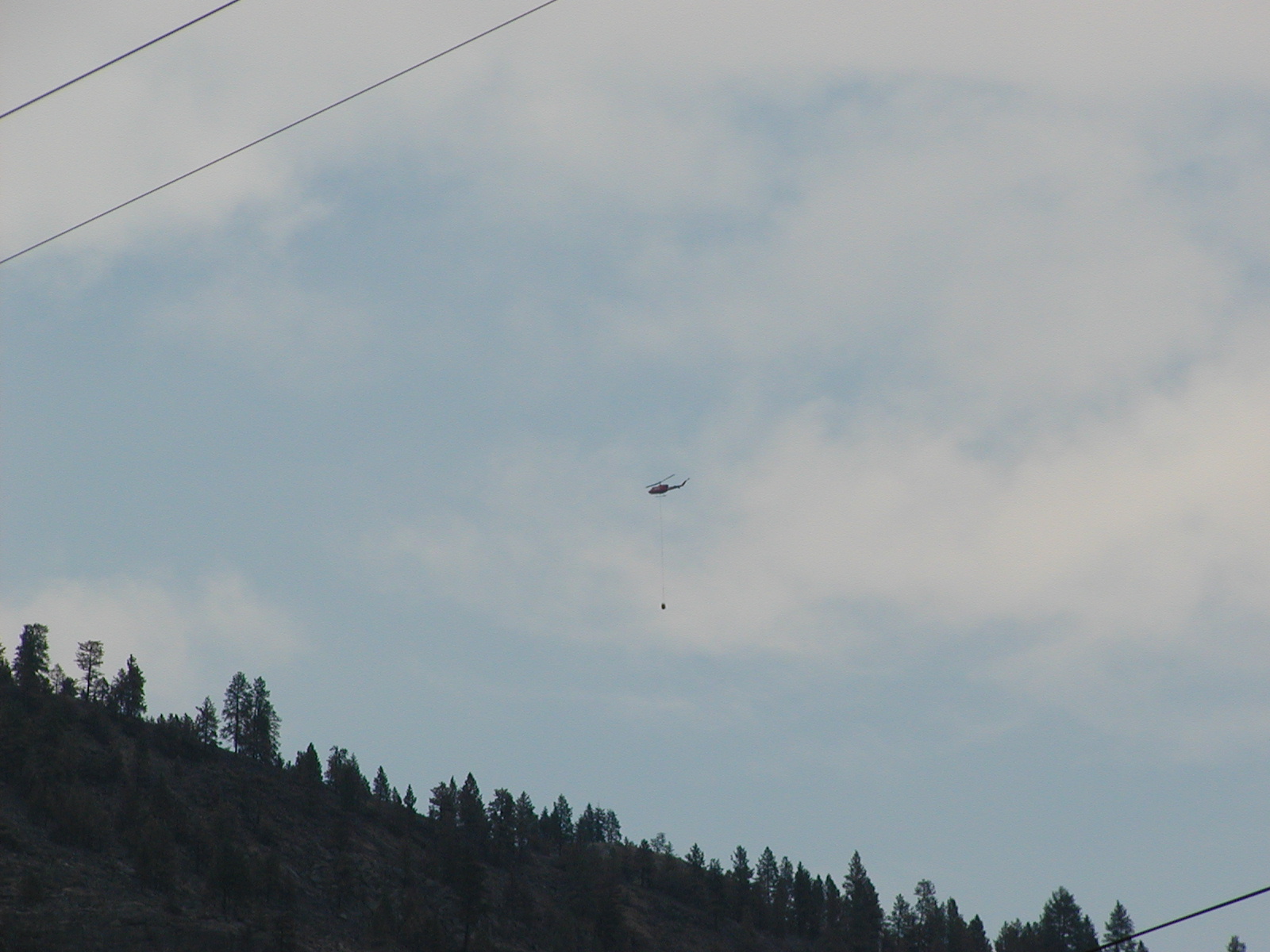
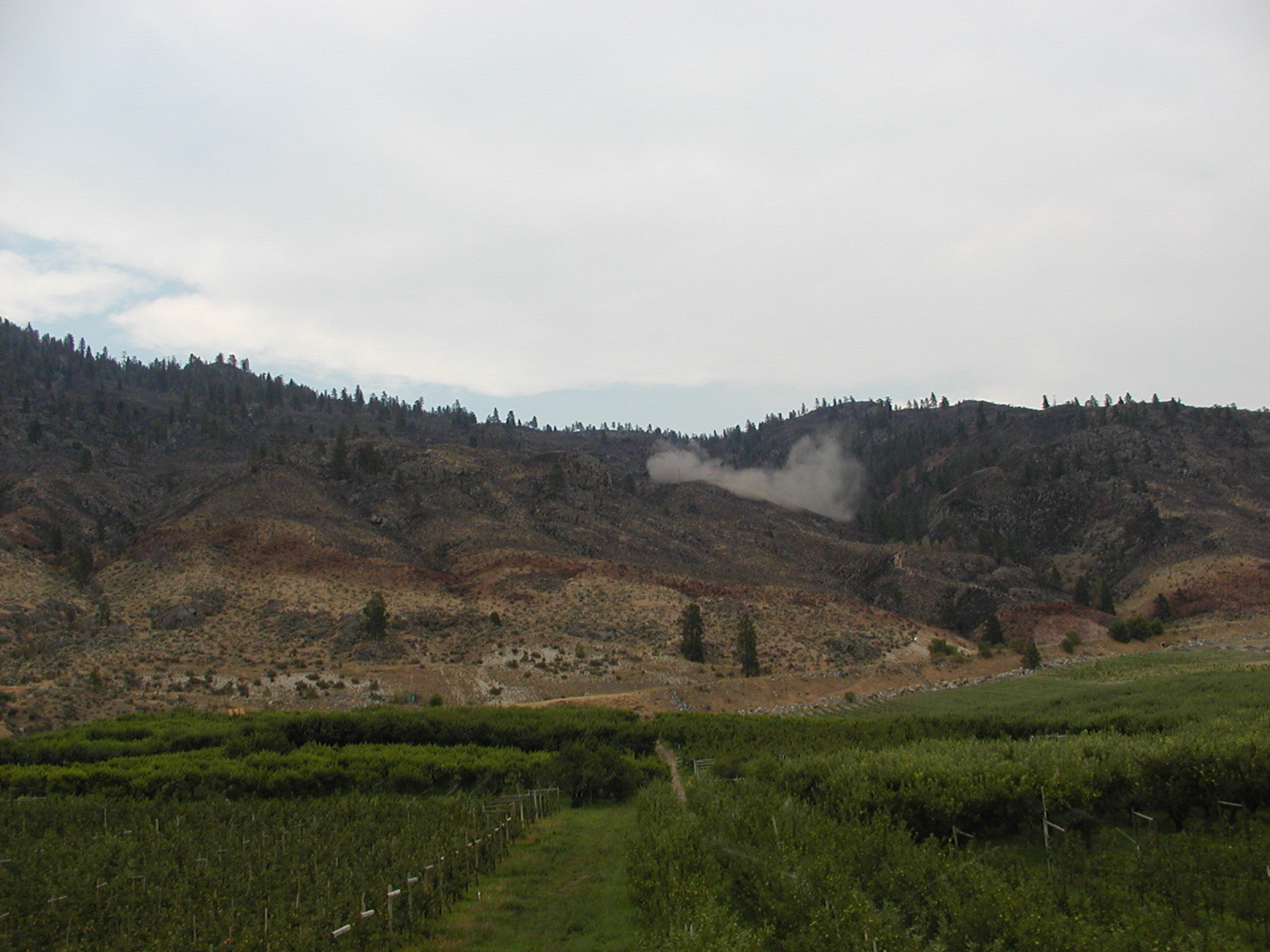
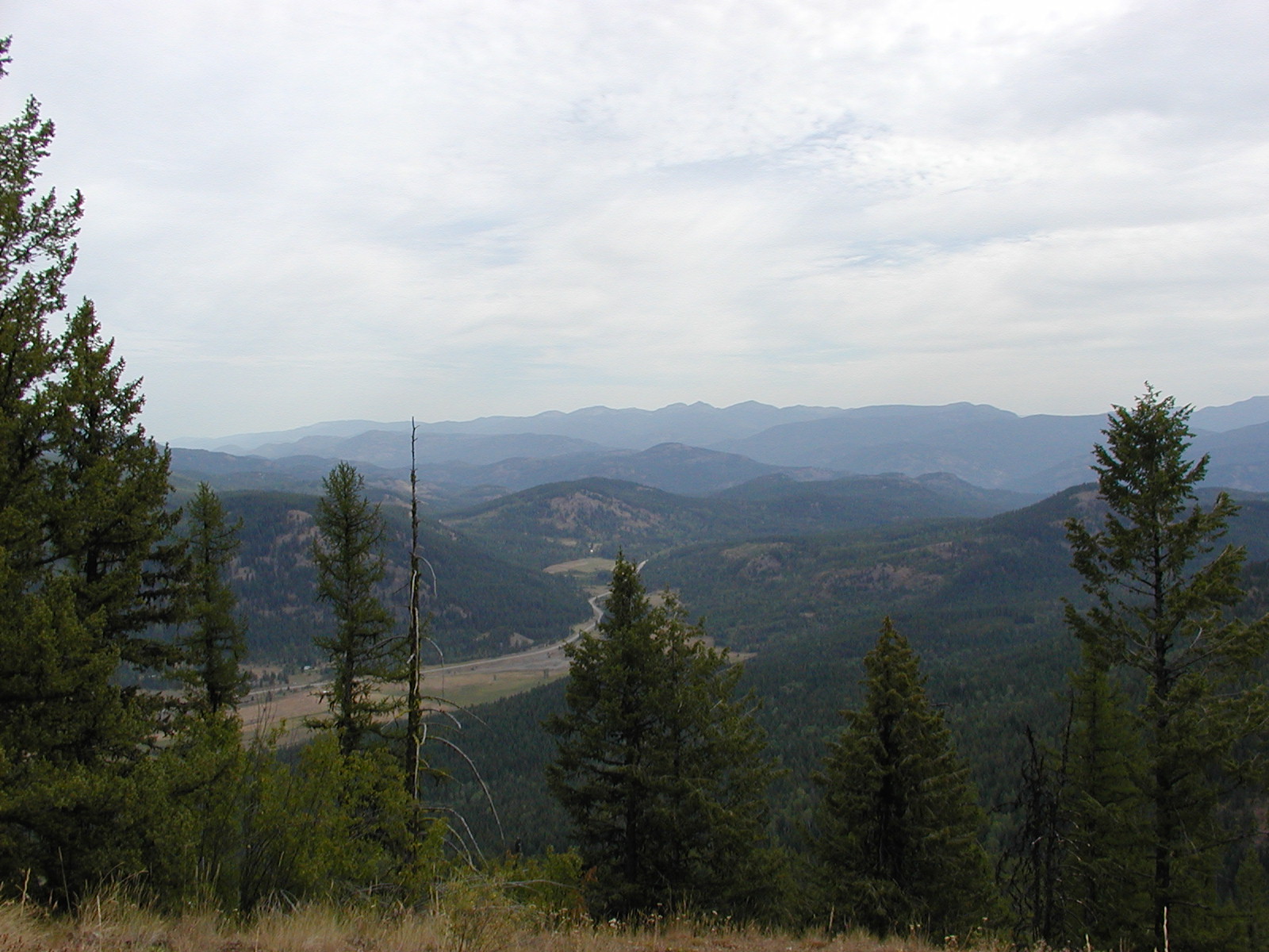
Heading east towards Osoyoos with the Mountain fire on the East side of Osoyoos still raging.
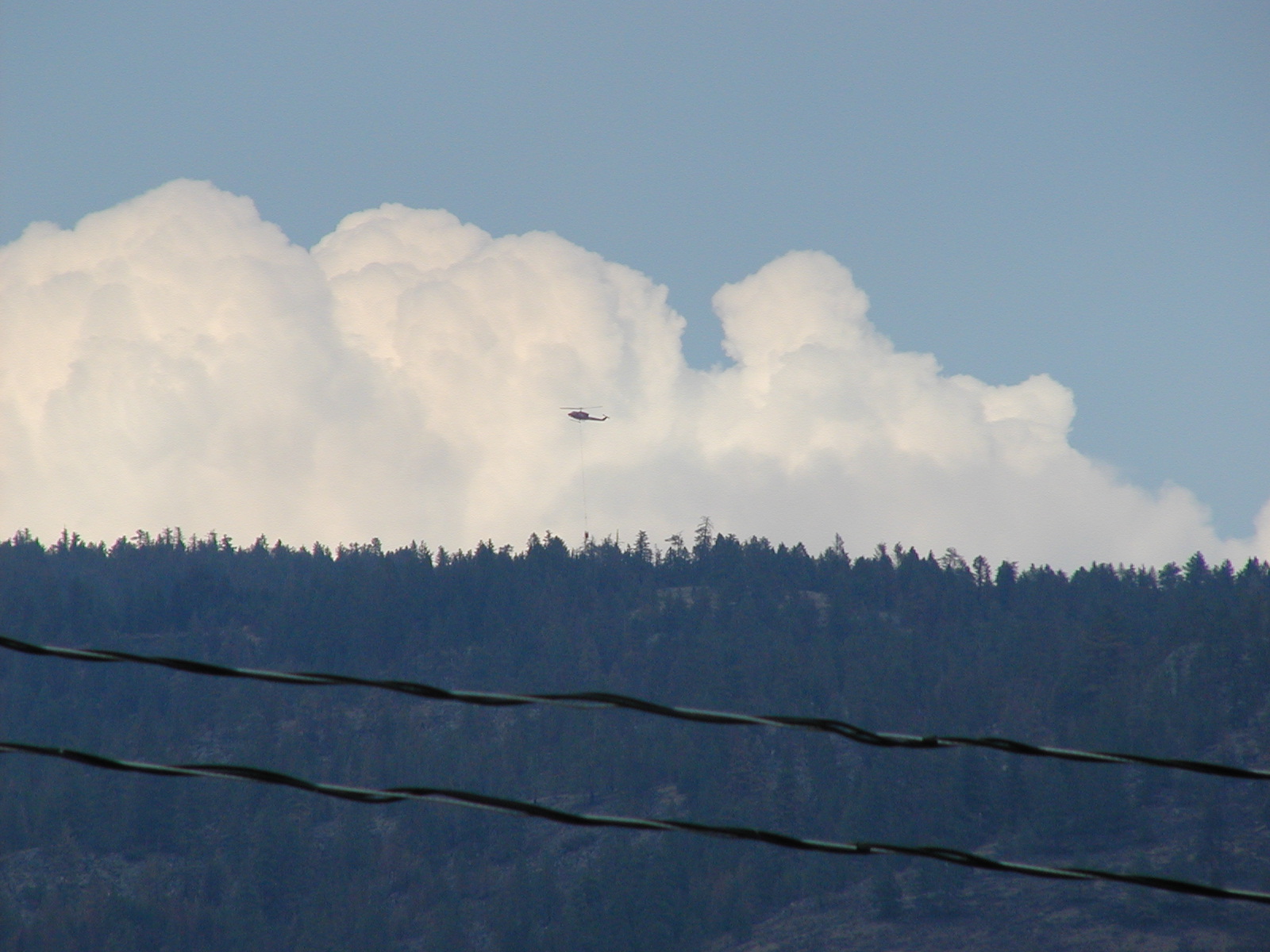
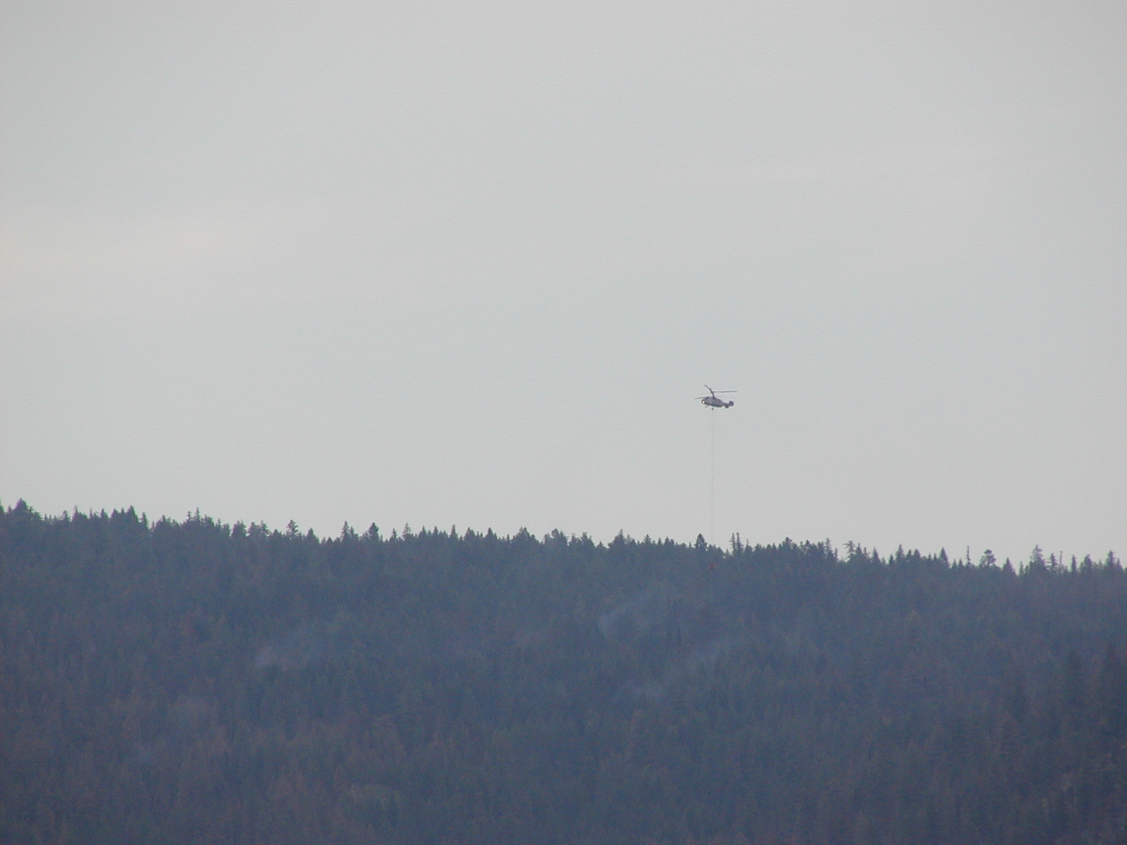
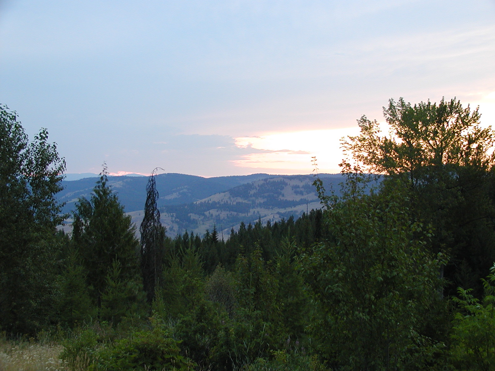
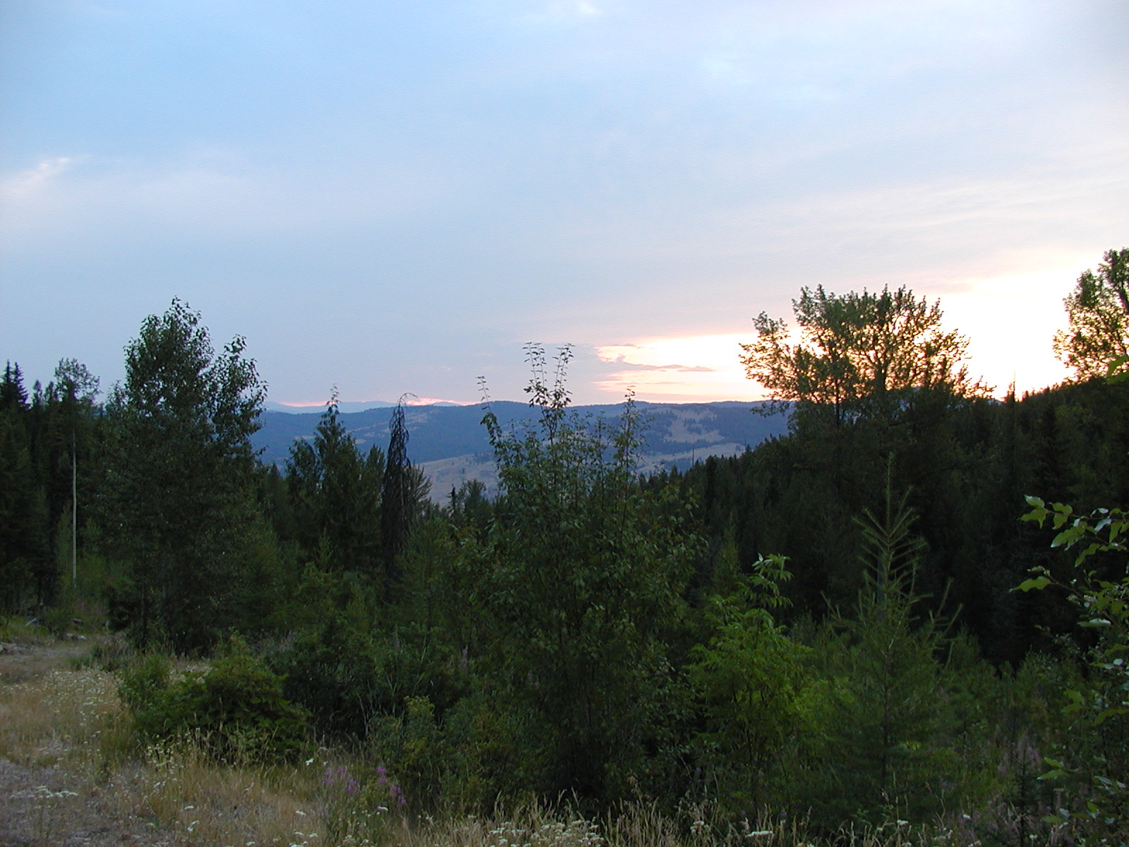
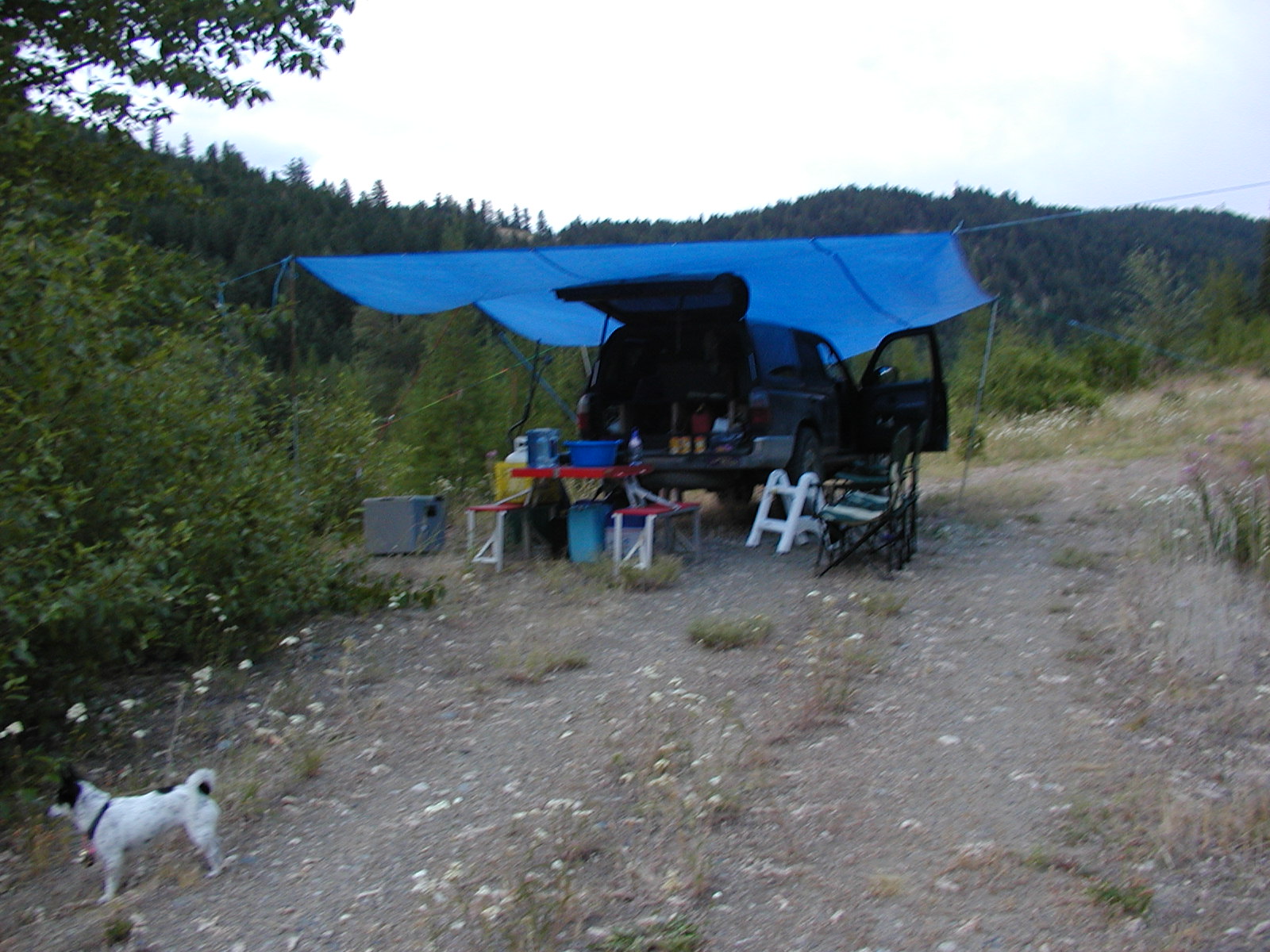
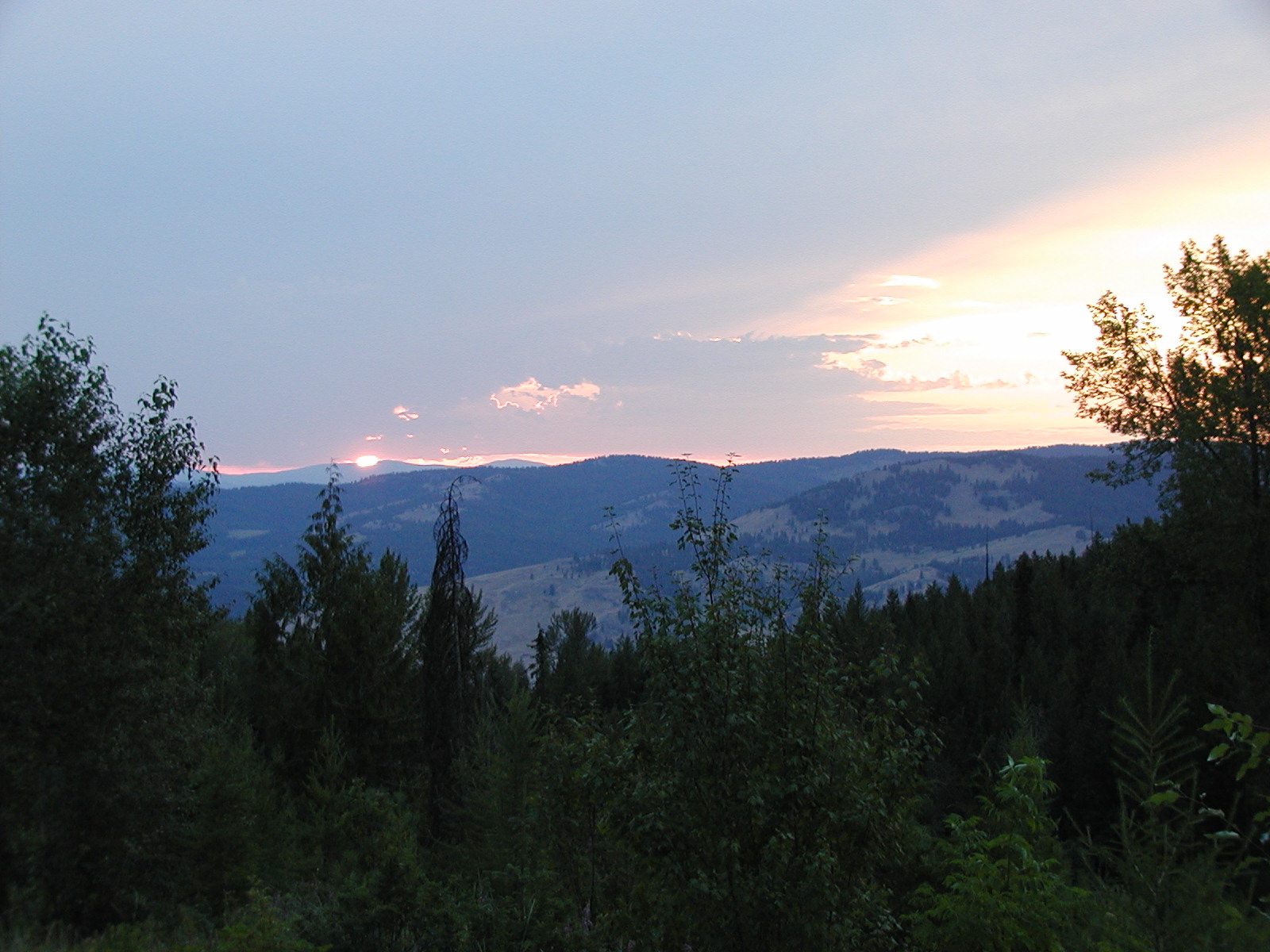
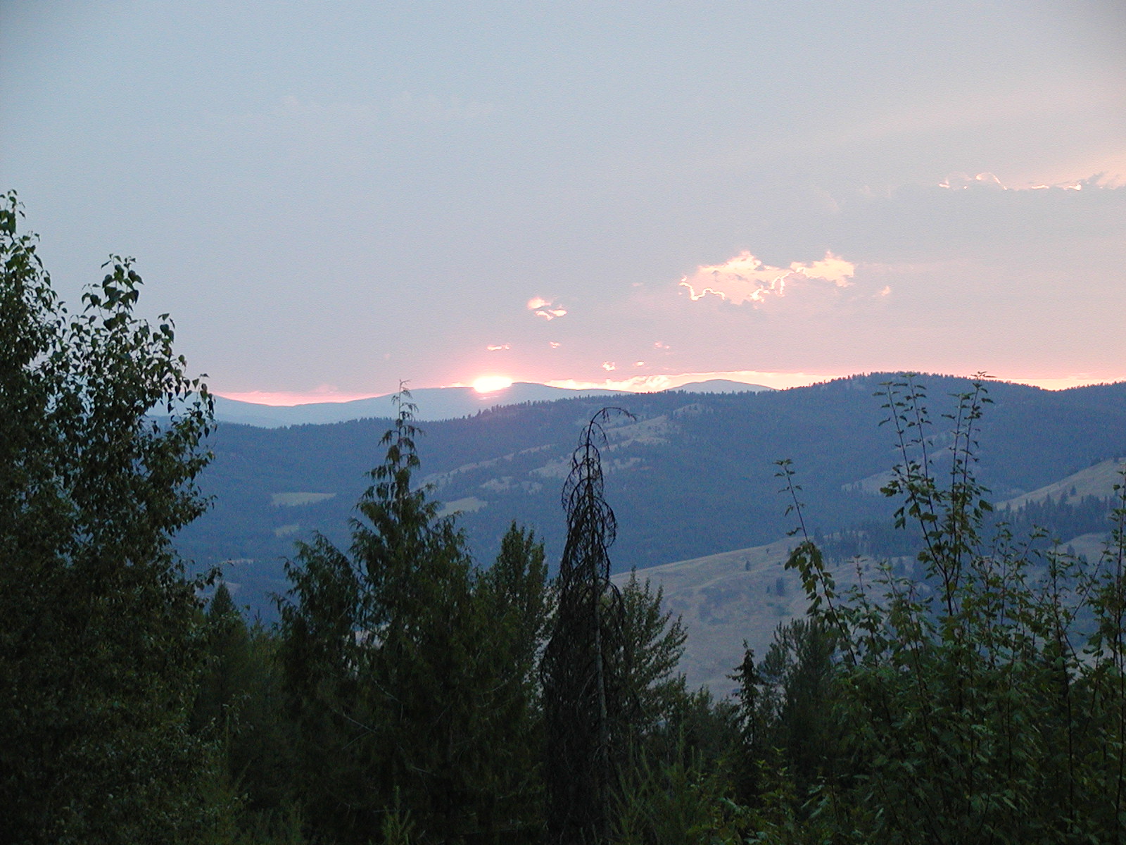
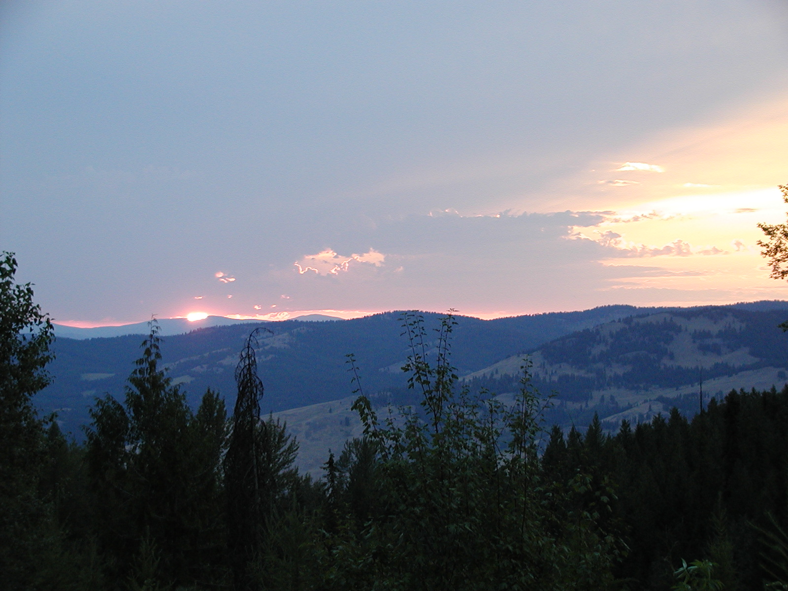
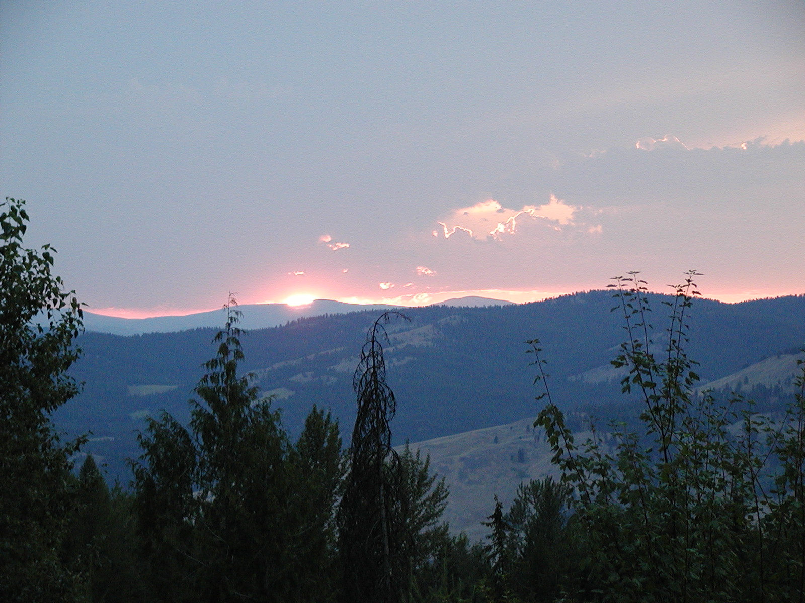
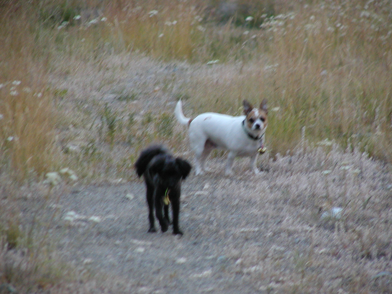
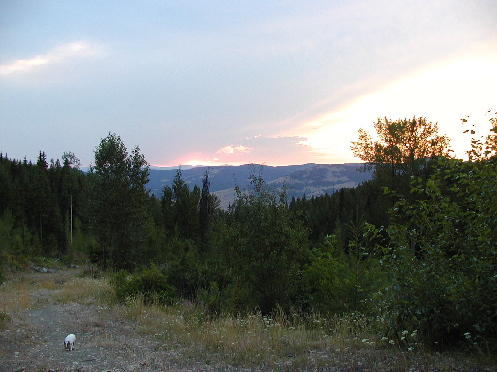
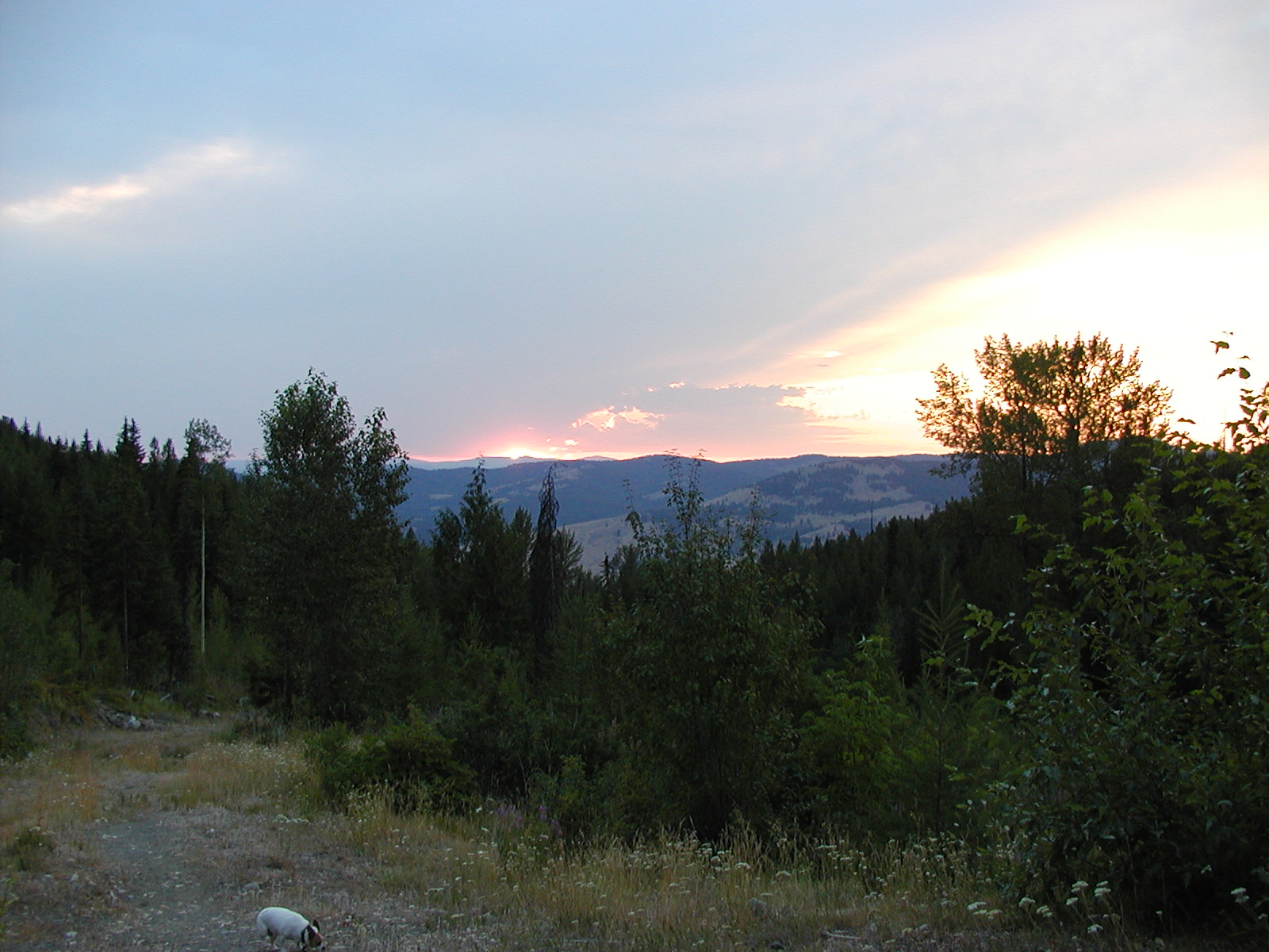
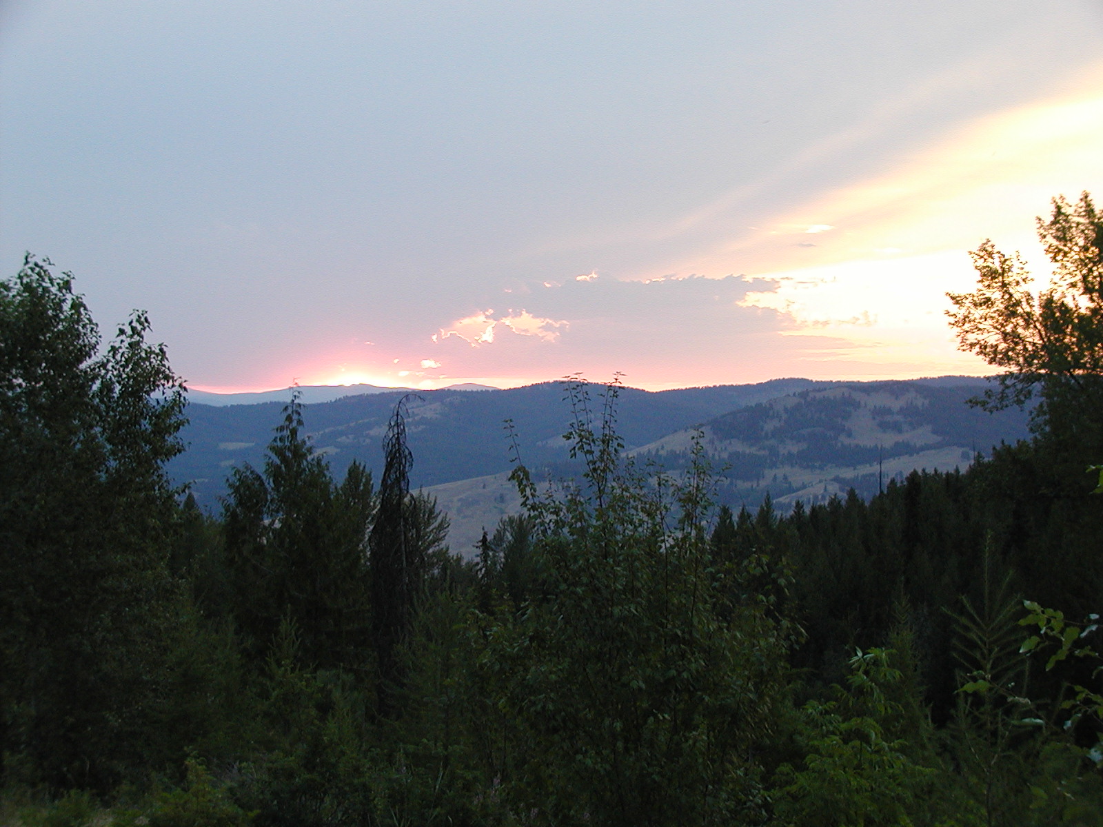
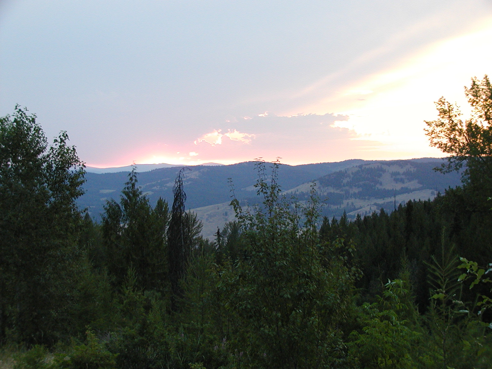
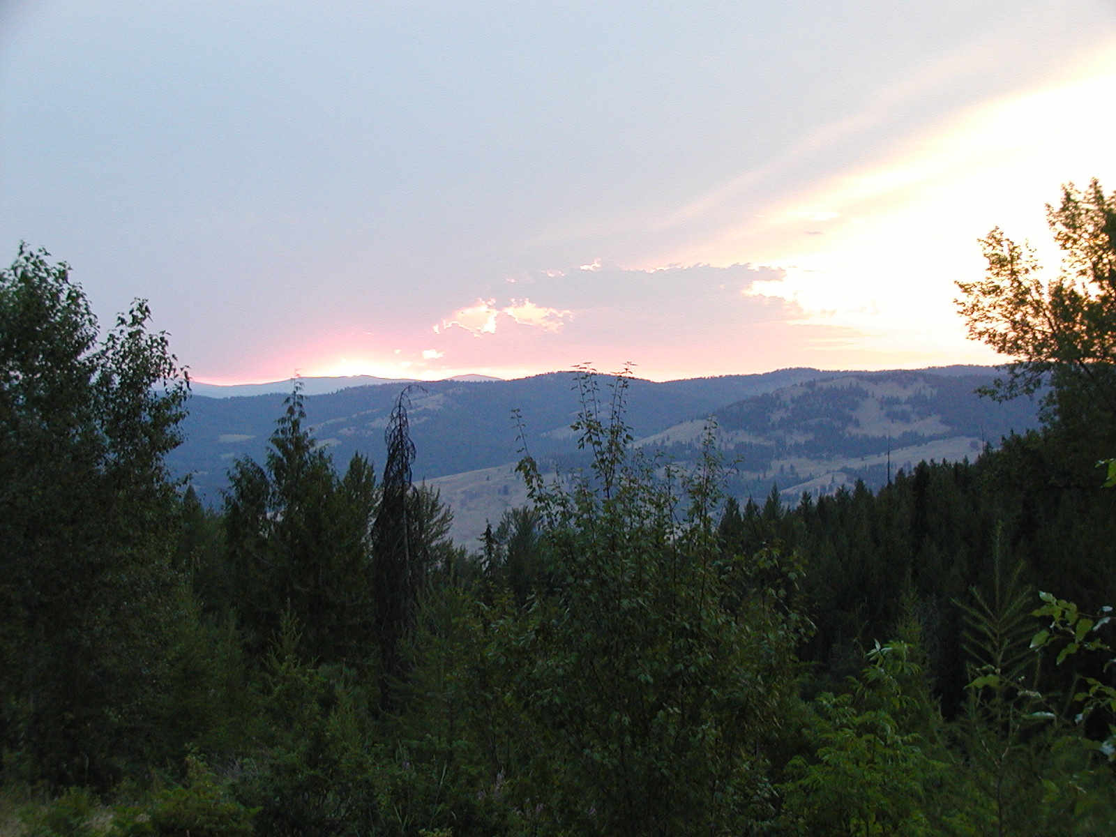
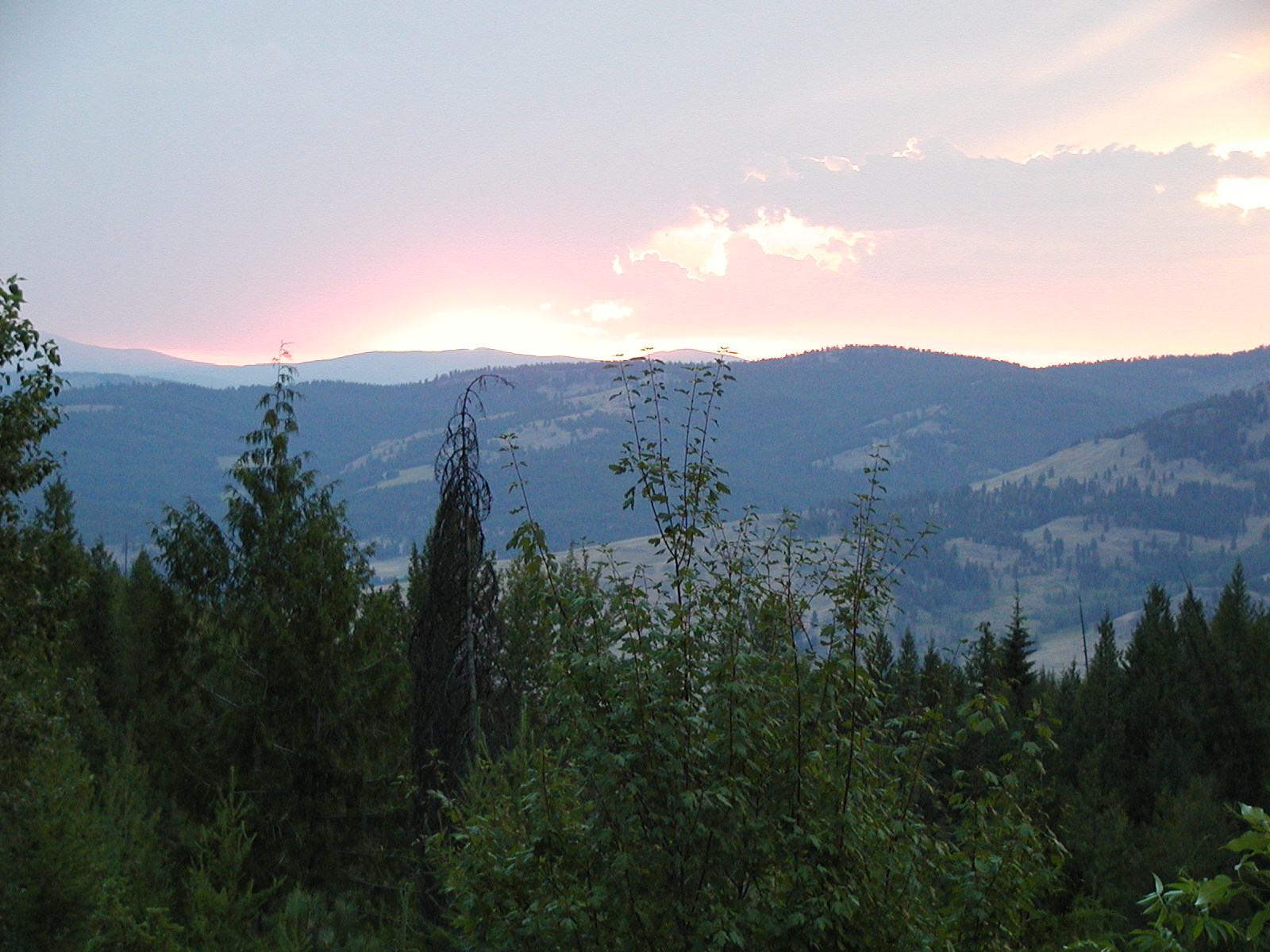
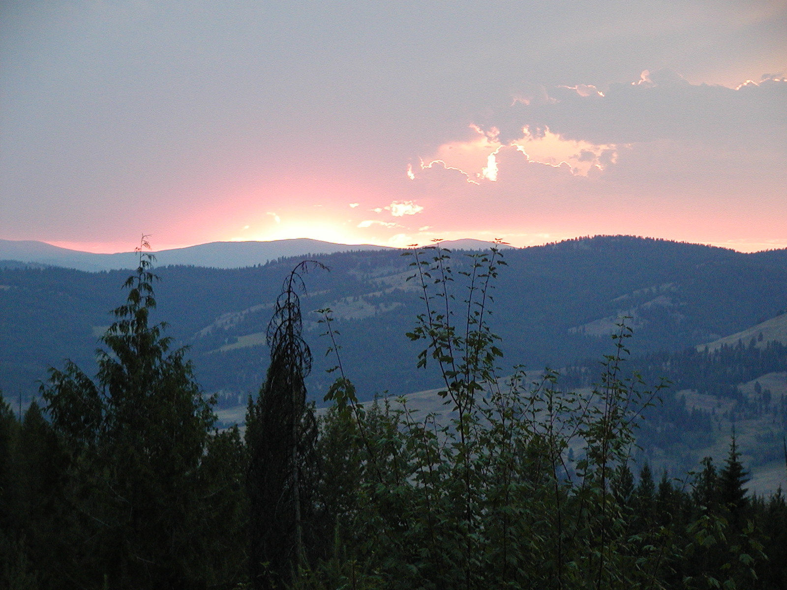
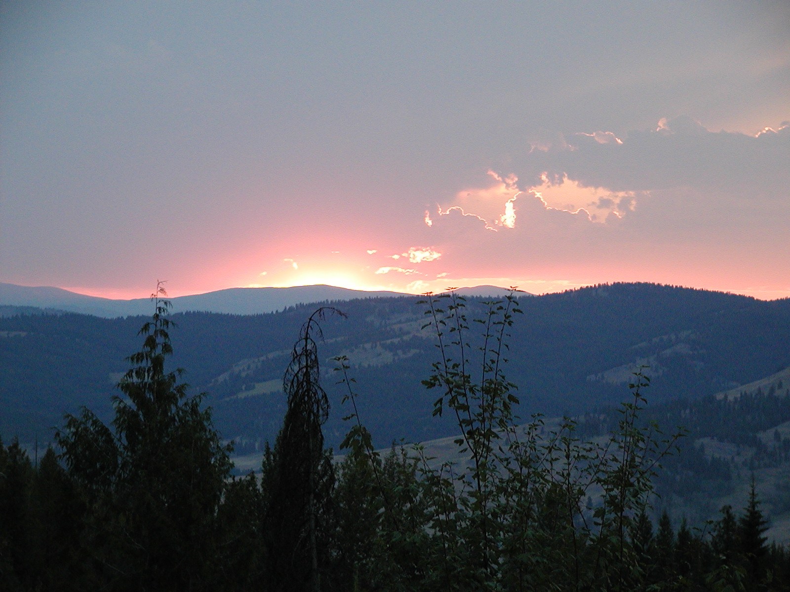
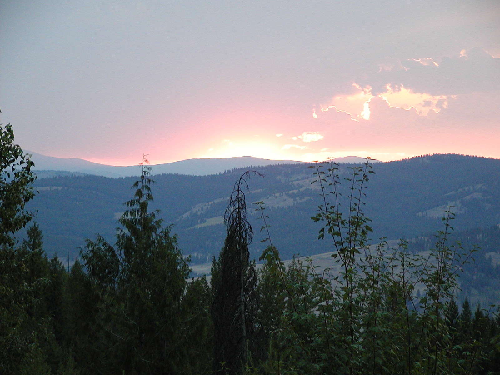
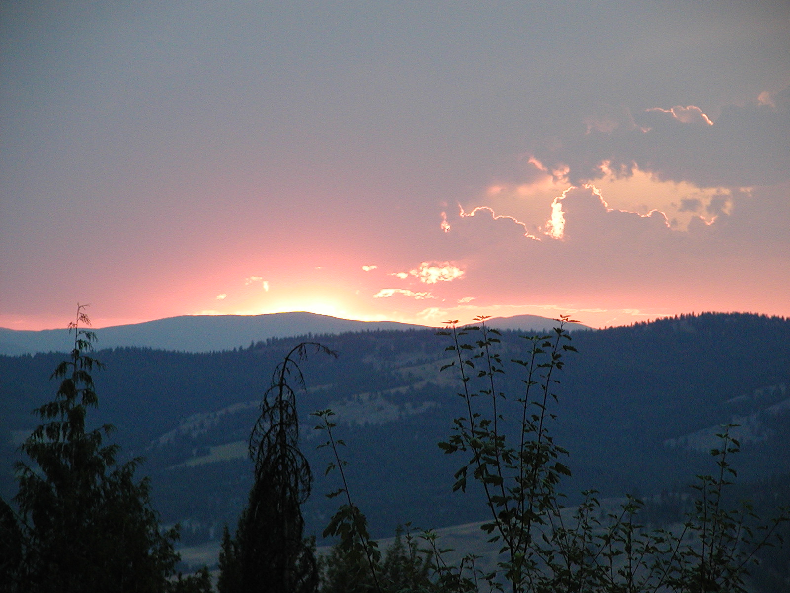
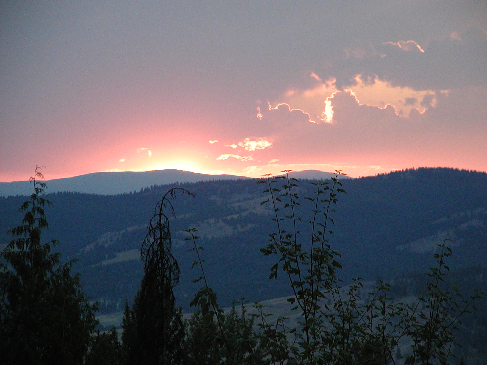
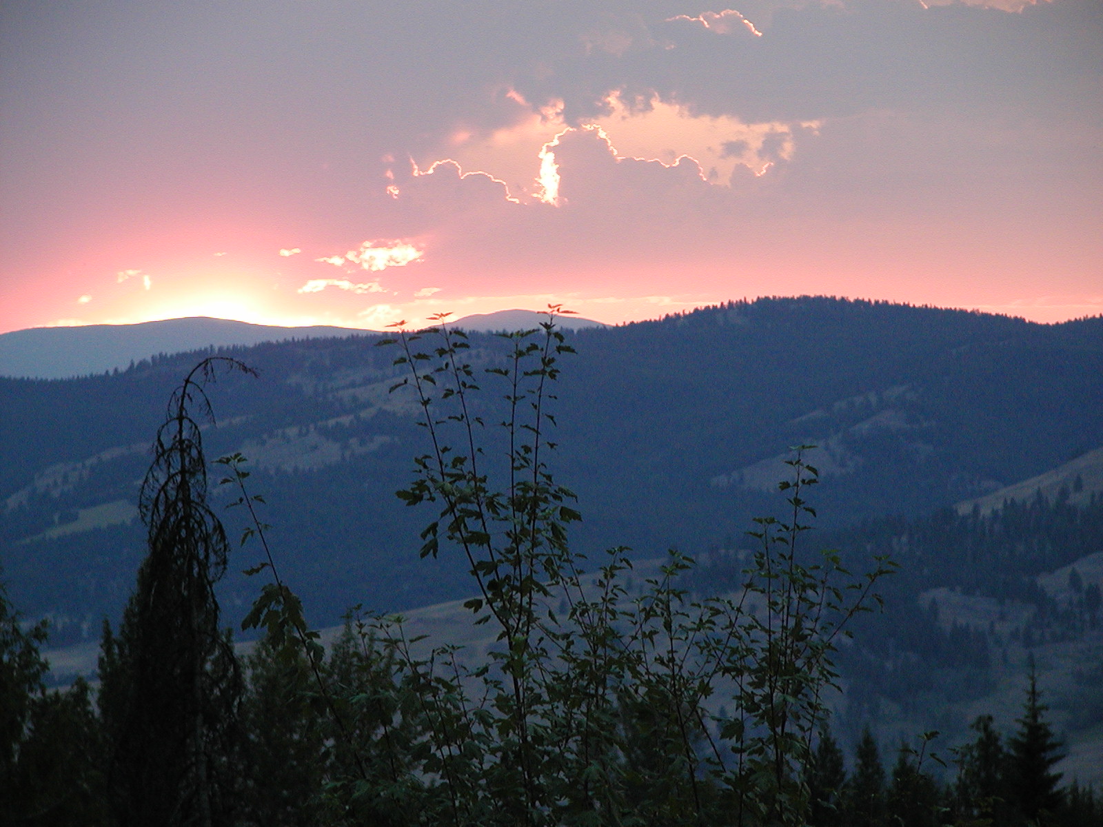
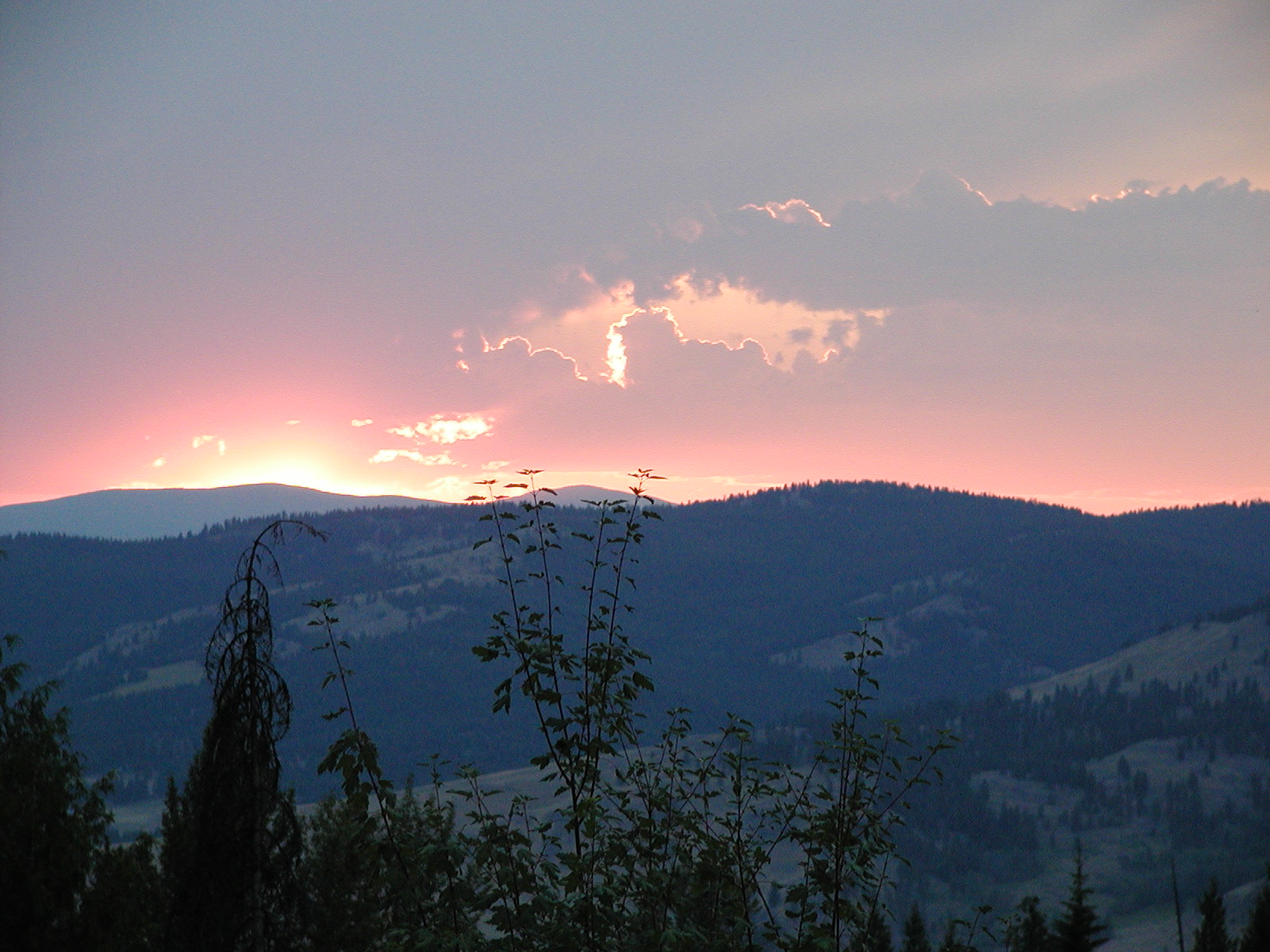
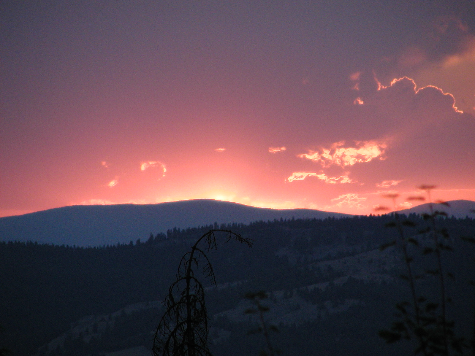
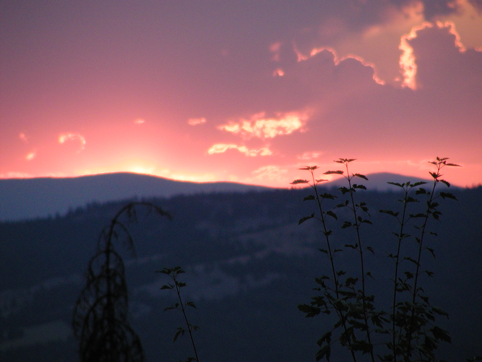
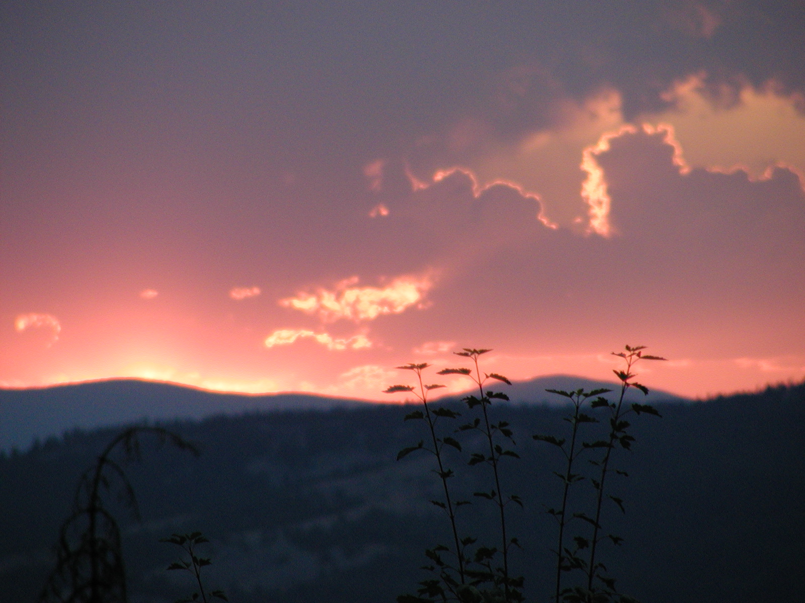
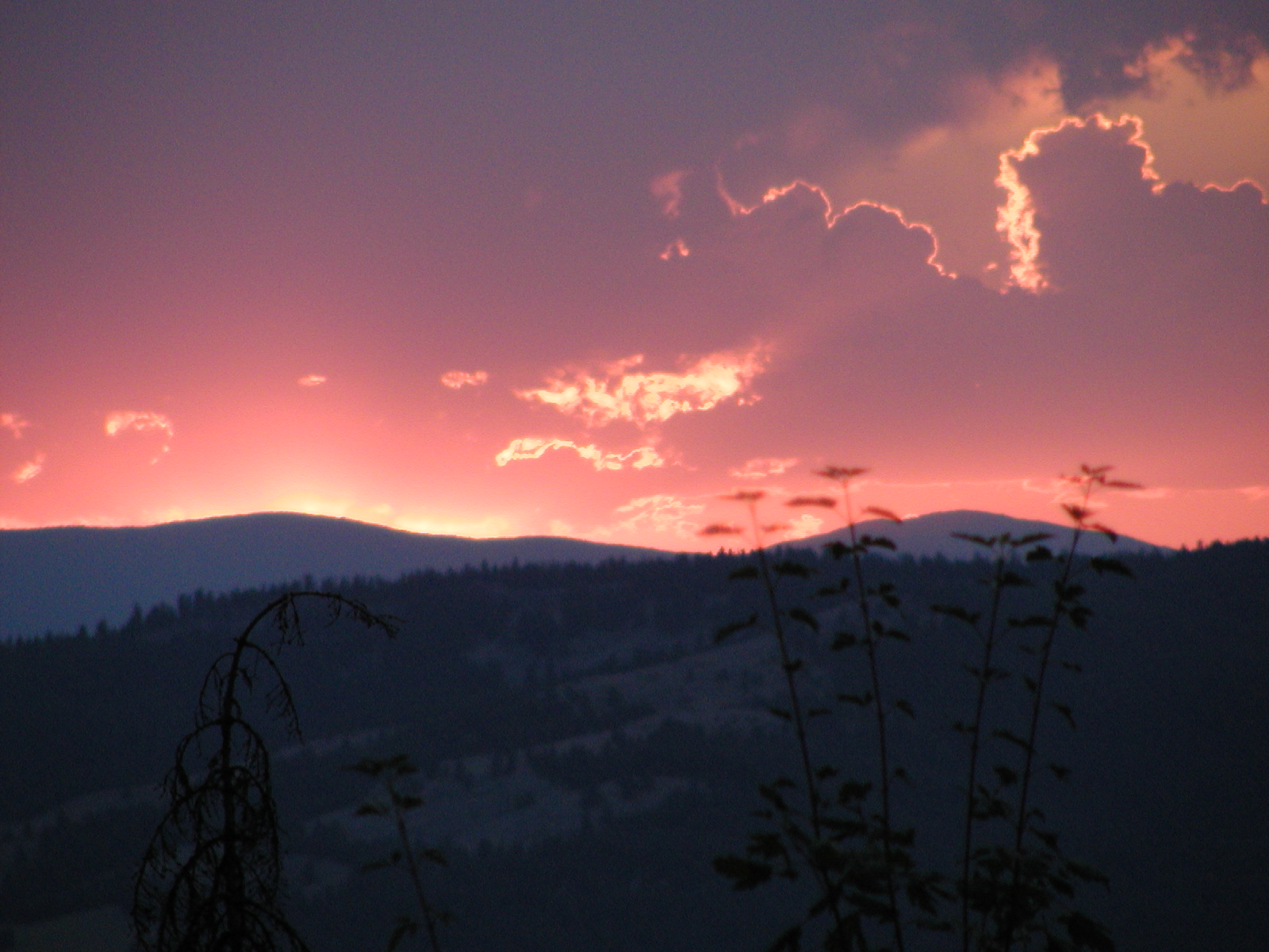
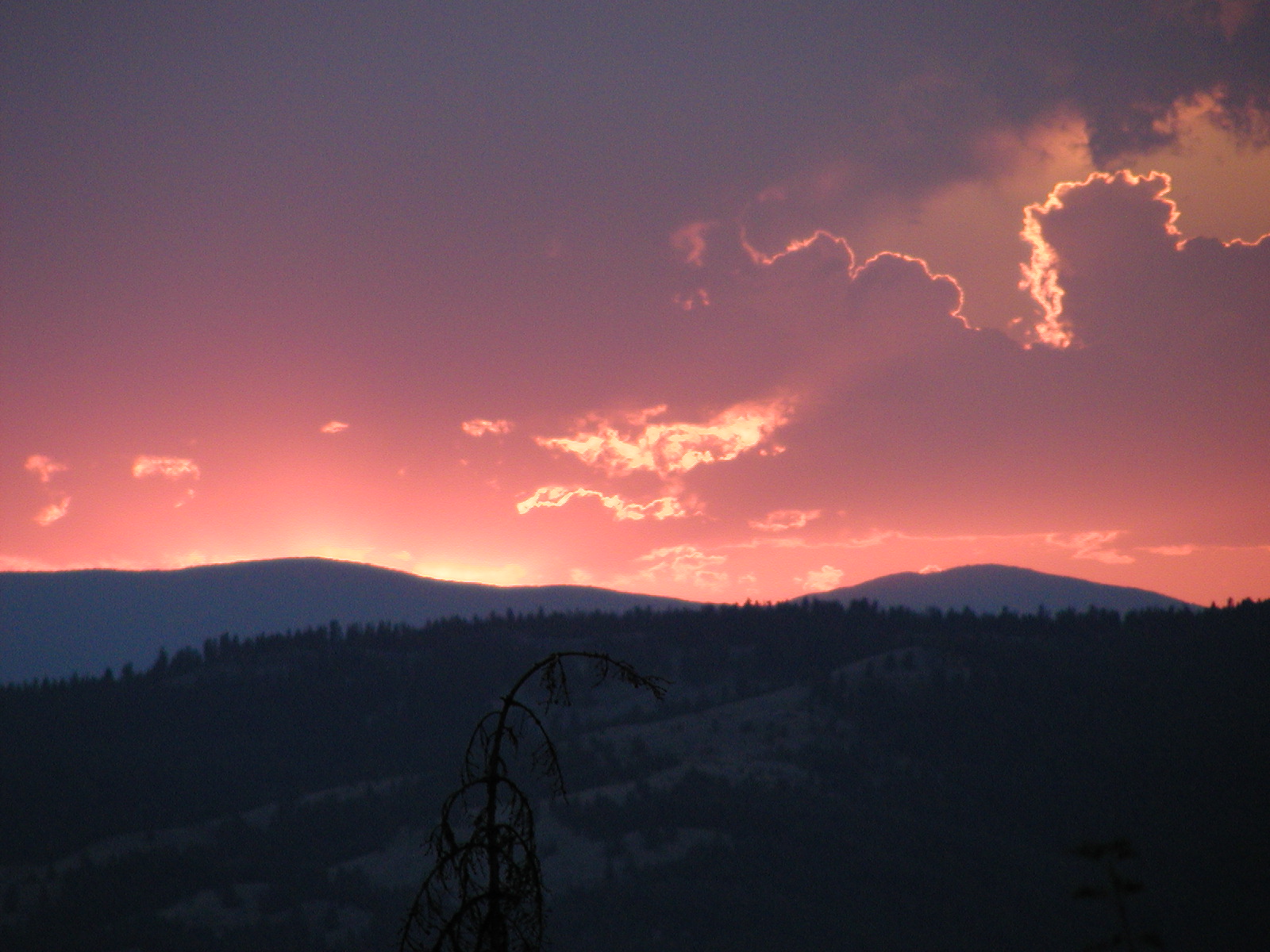
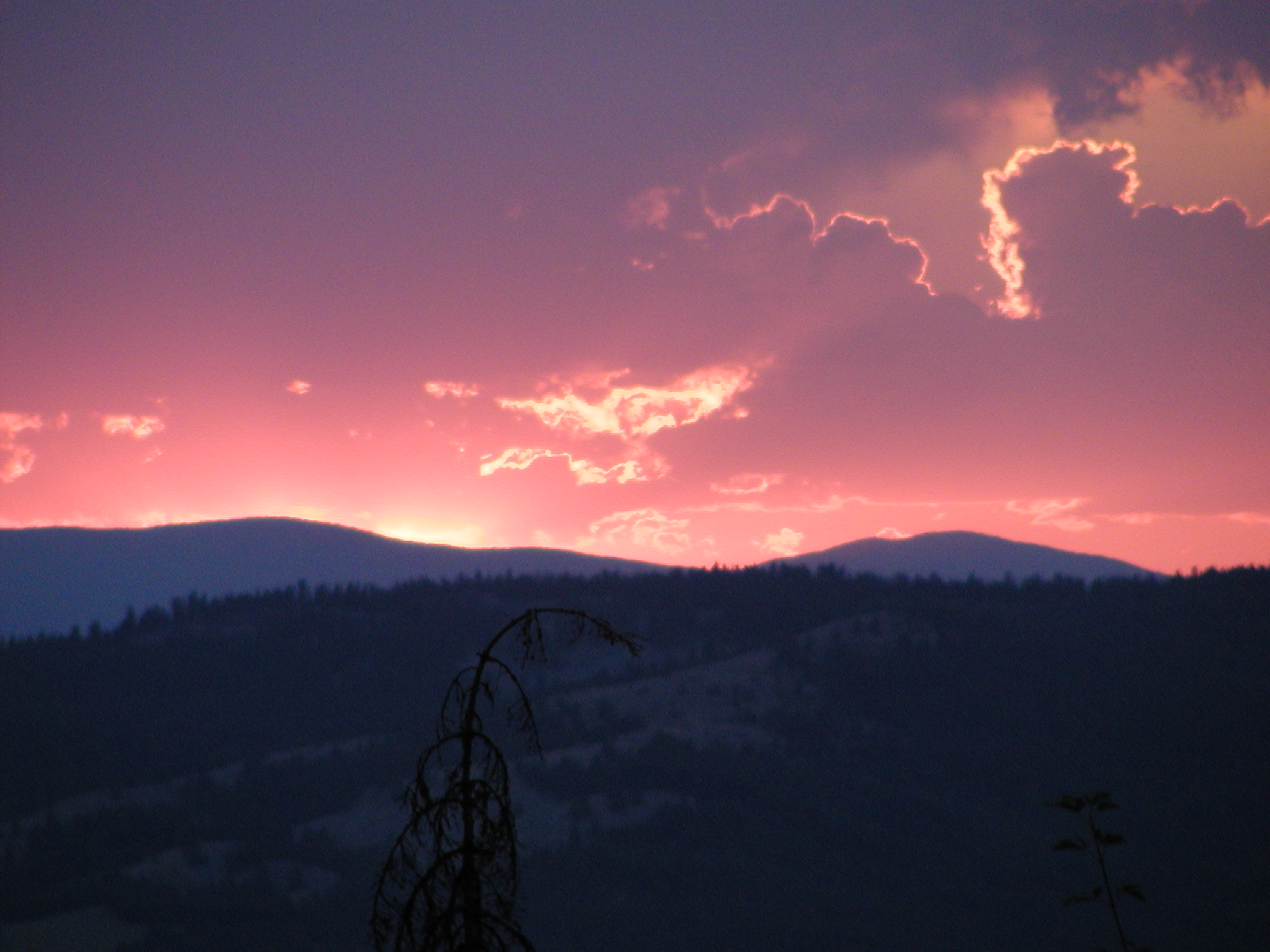
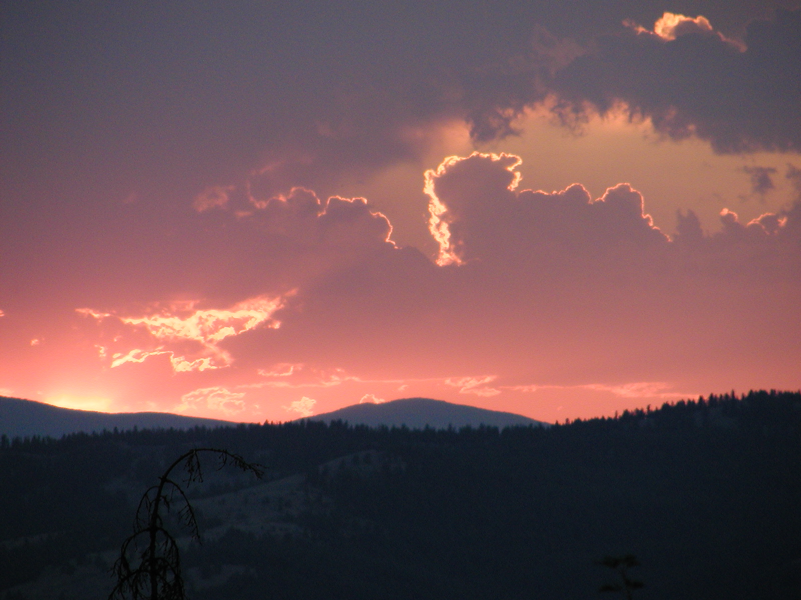
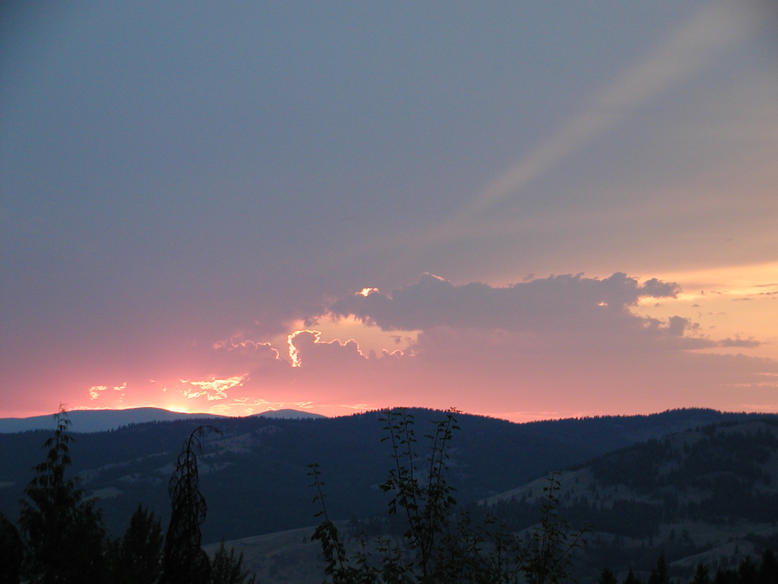
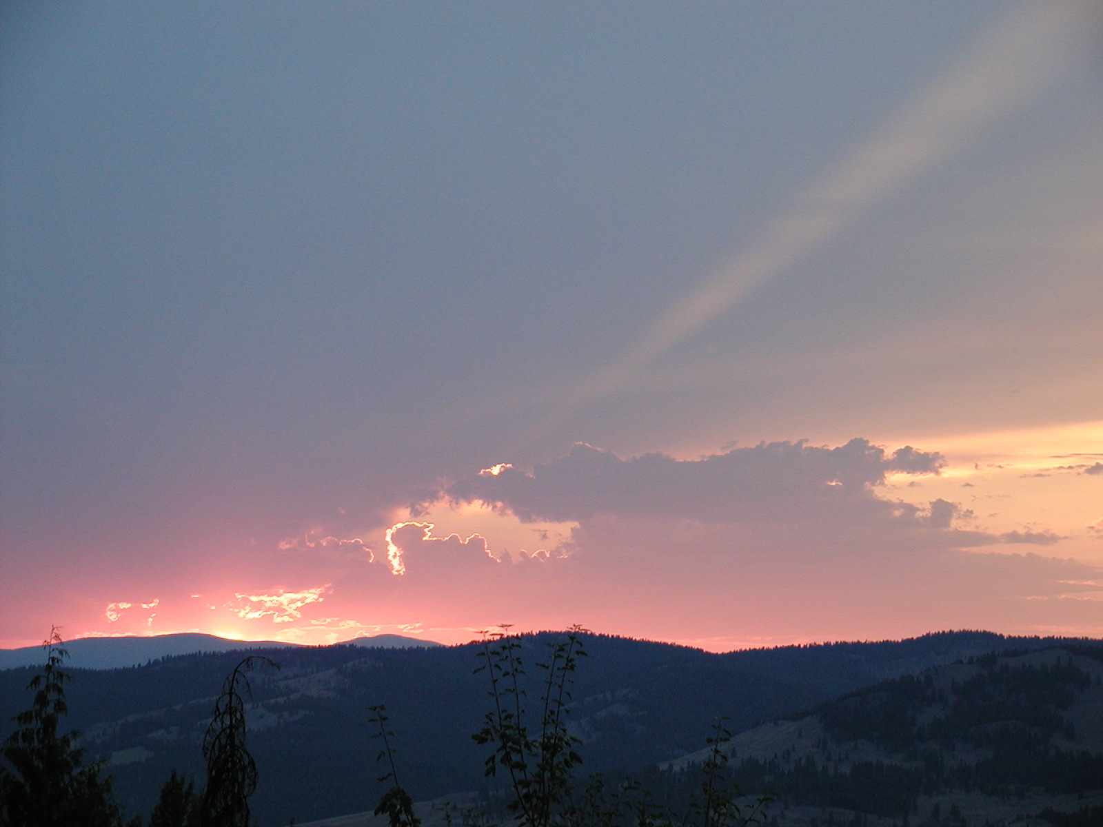
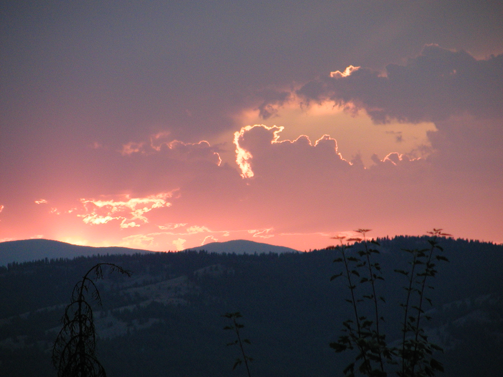
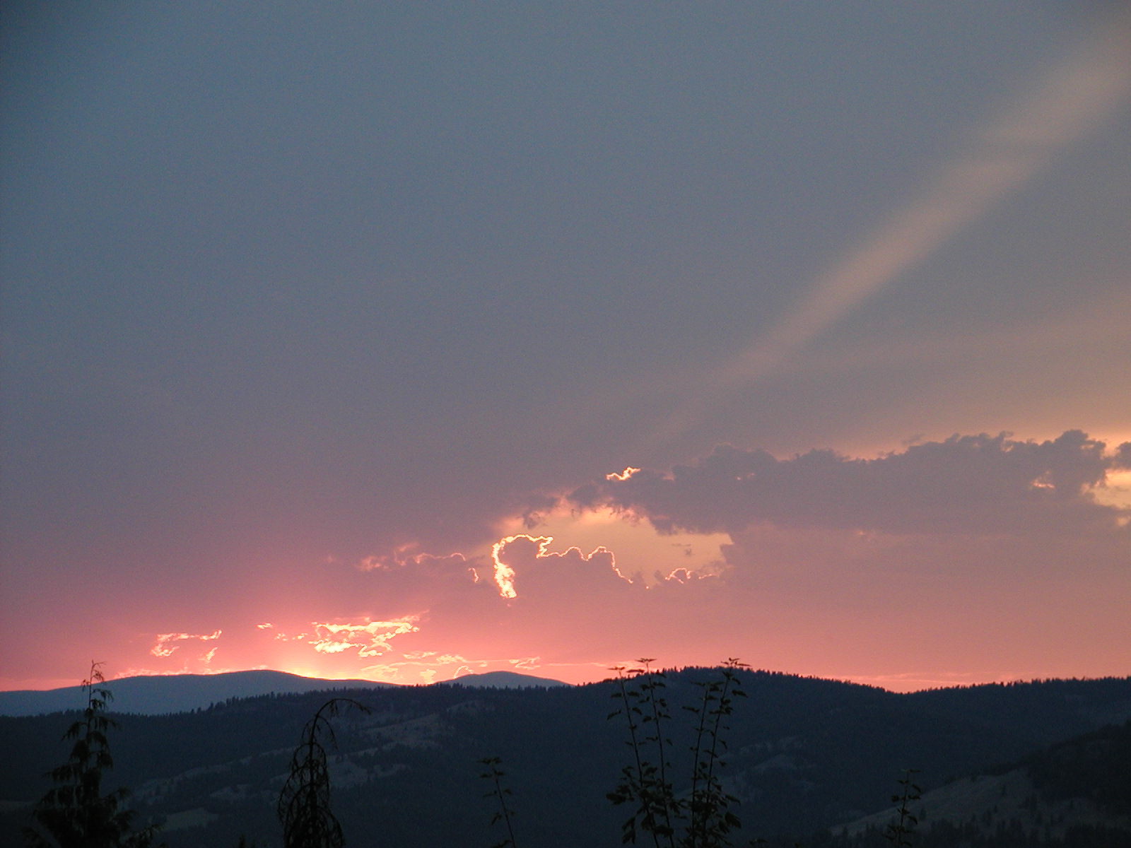
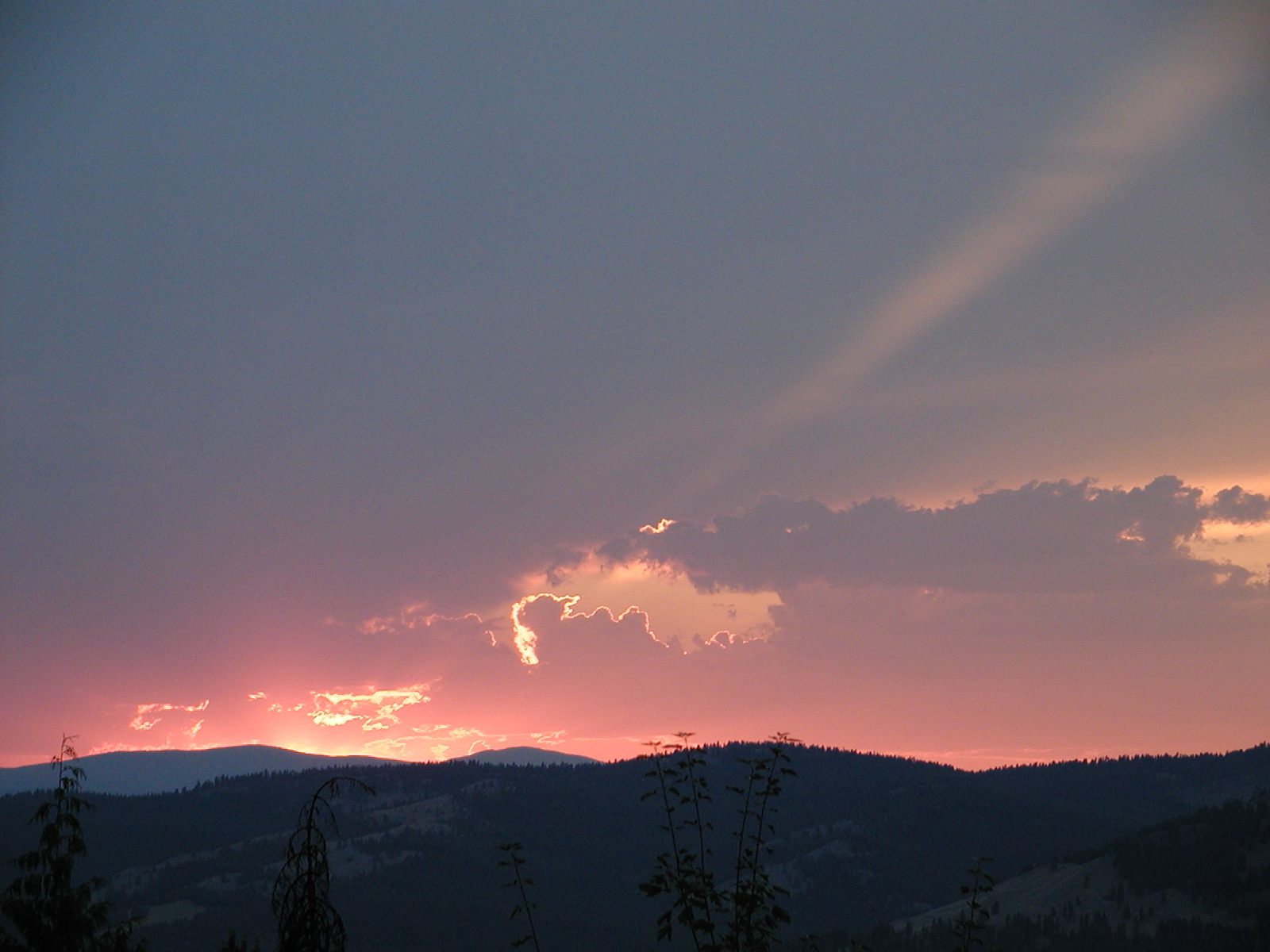
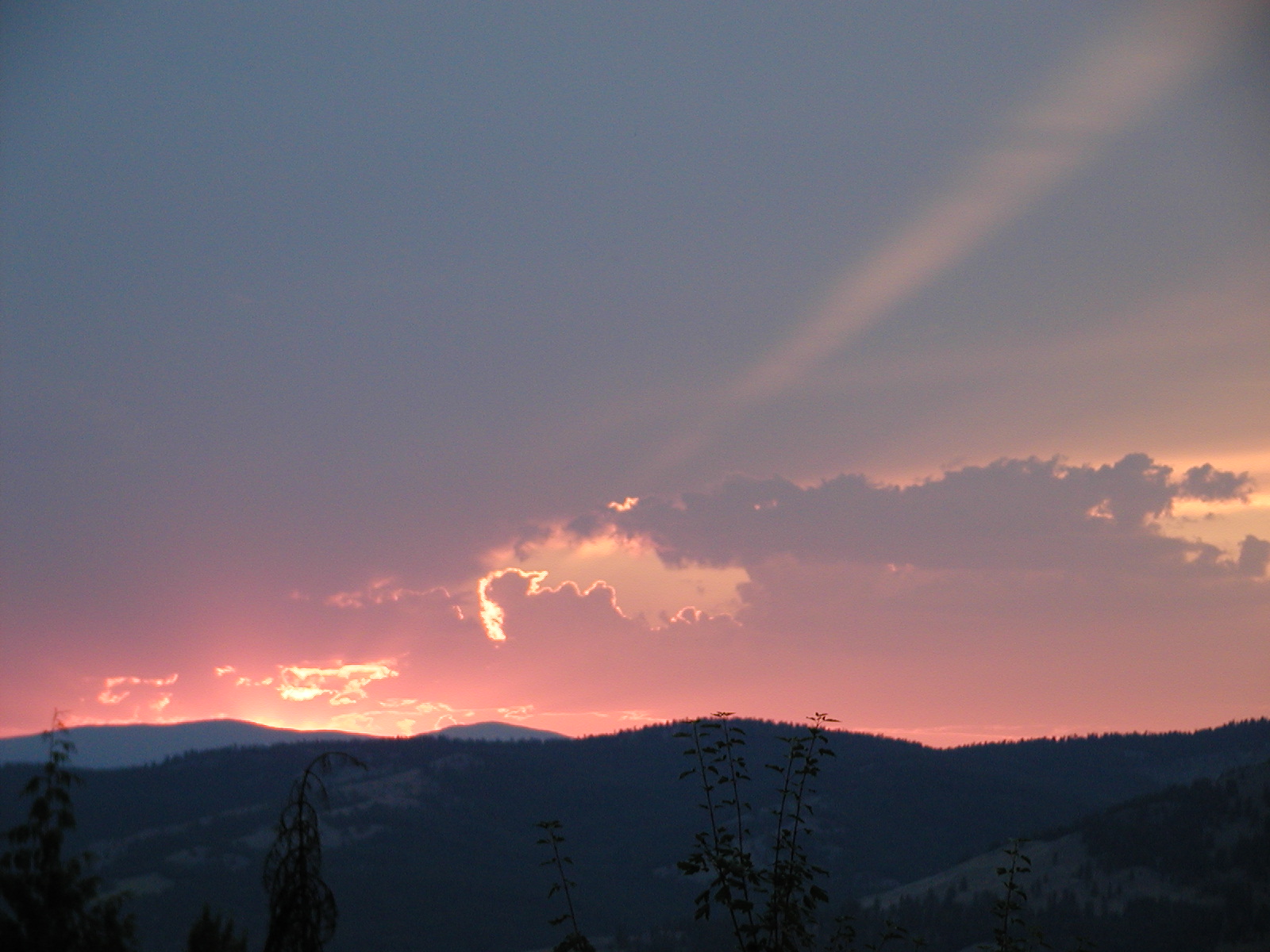
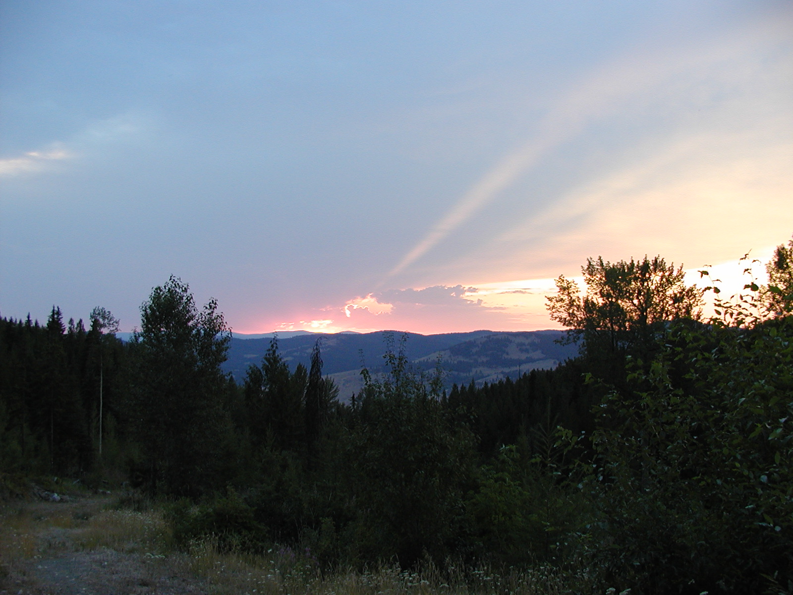
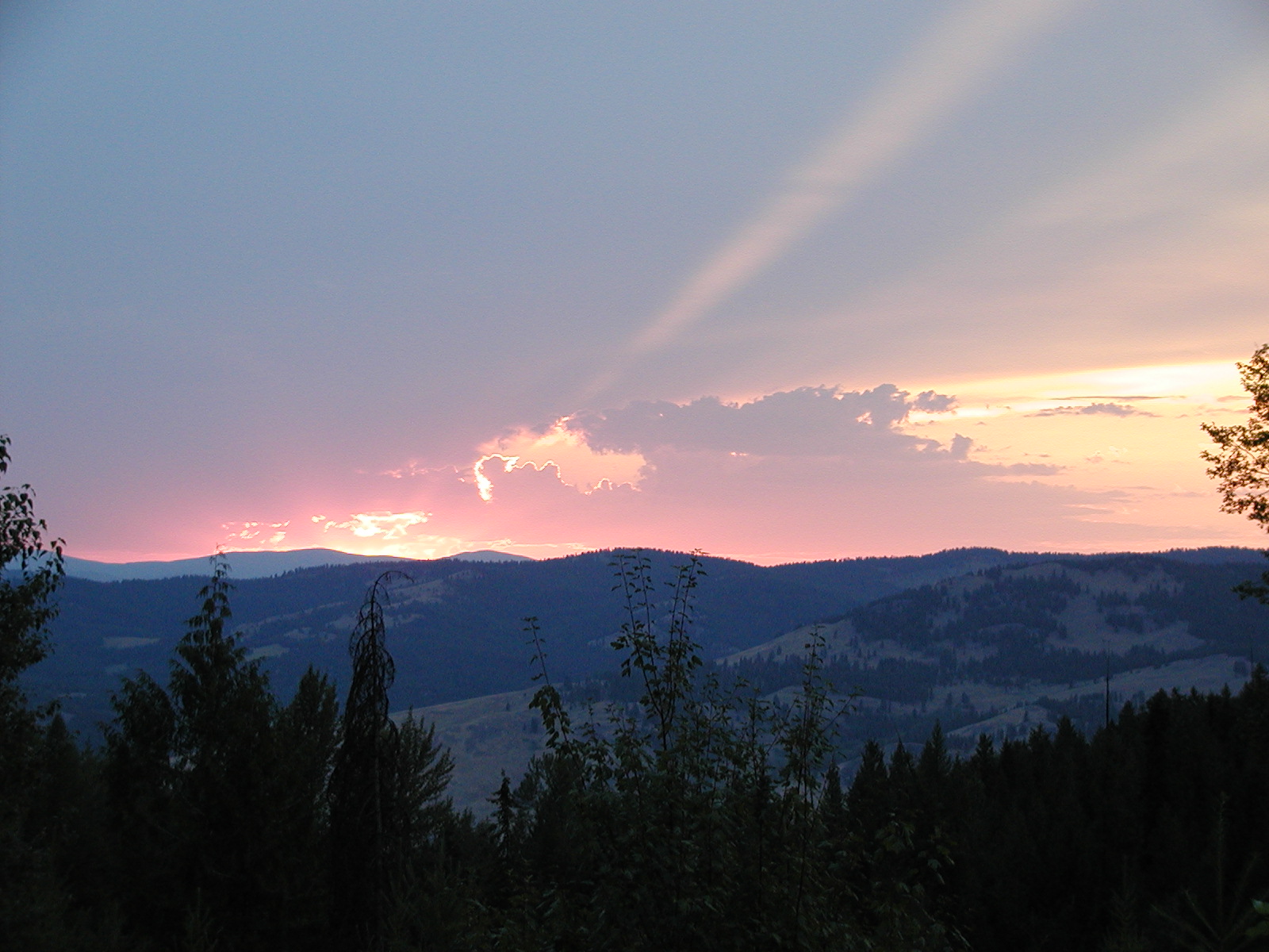
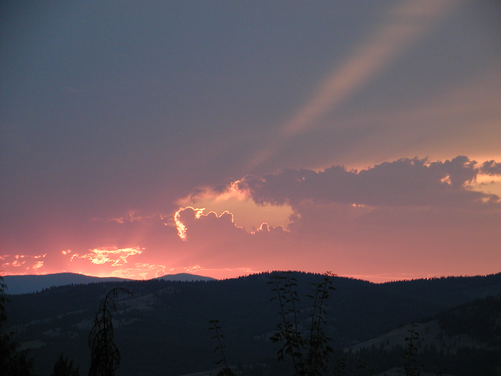
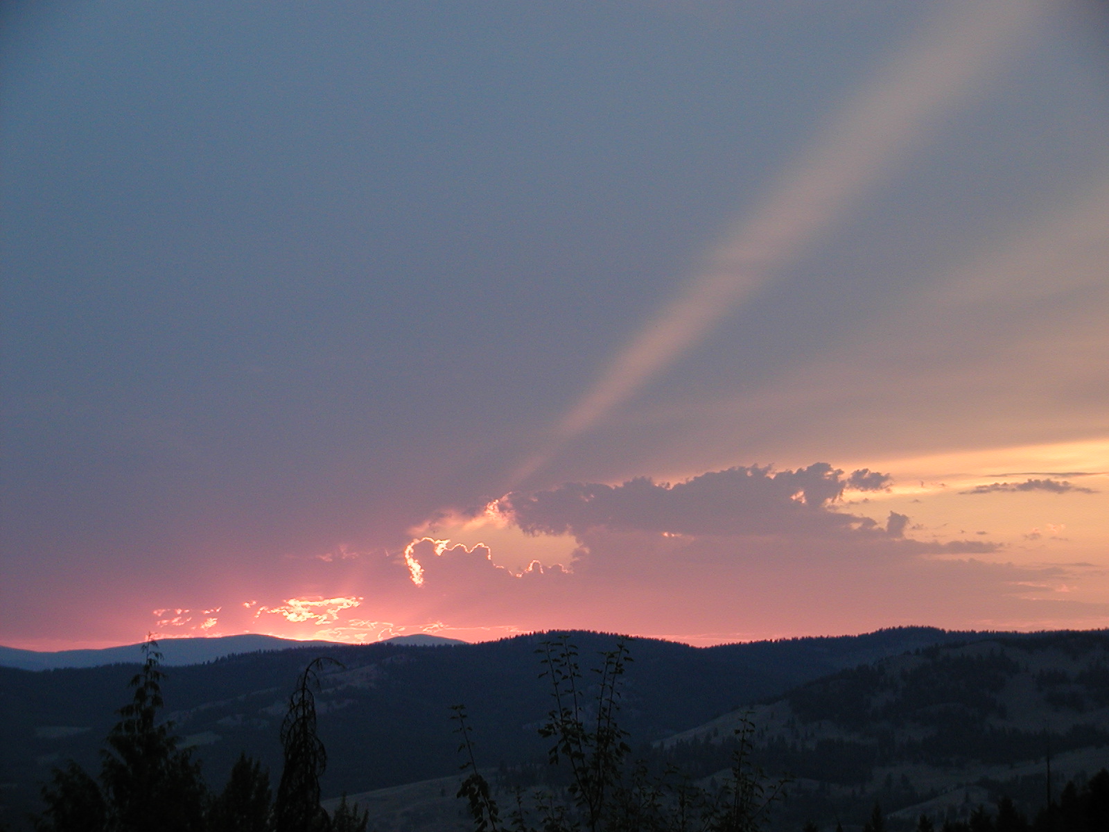
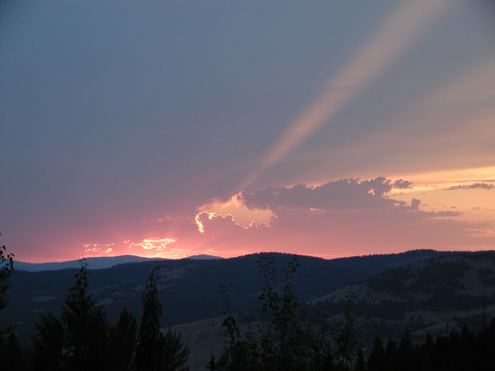
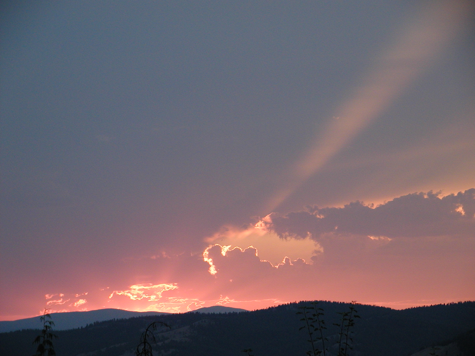
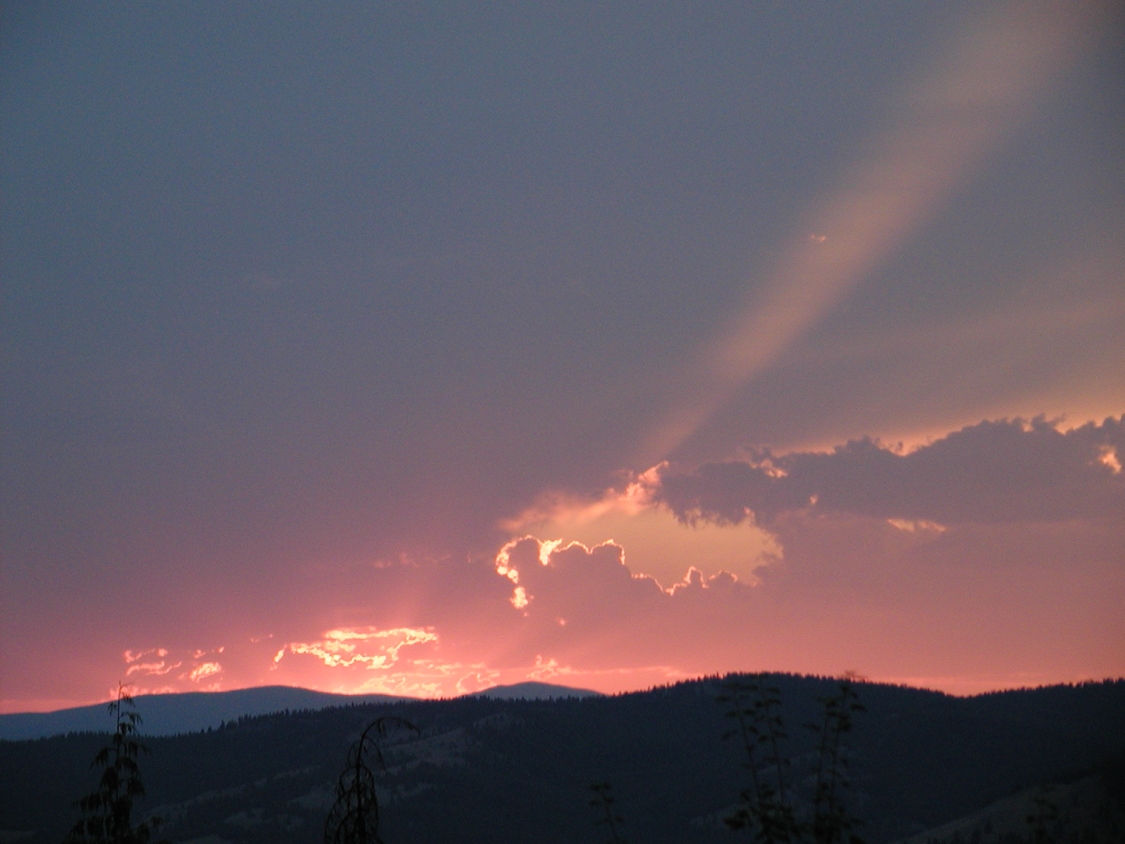
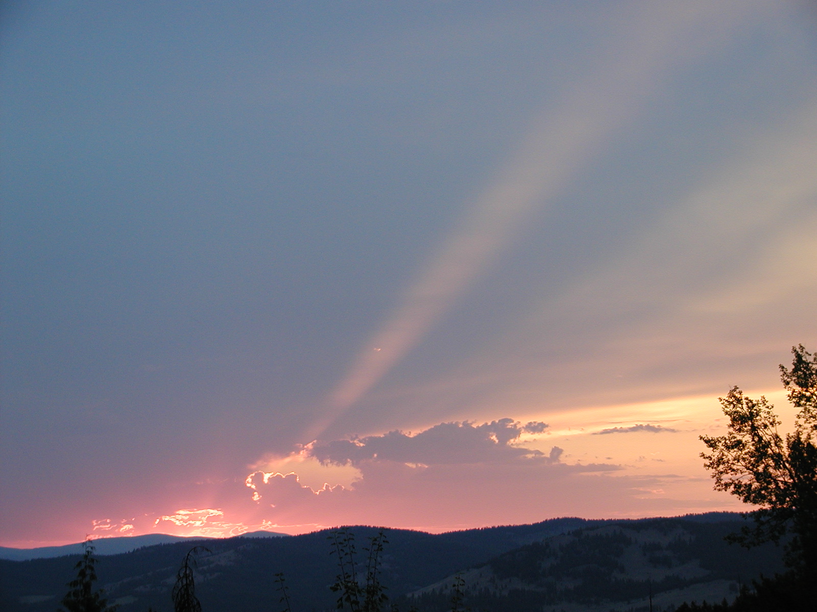
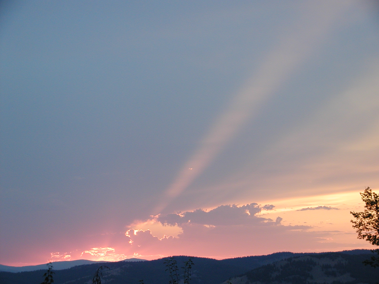
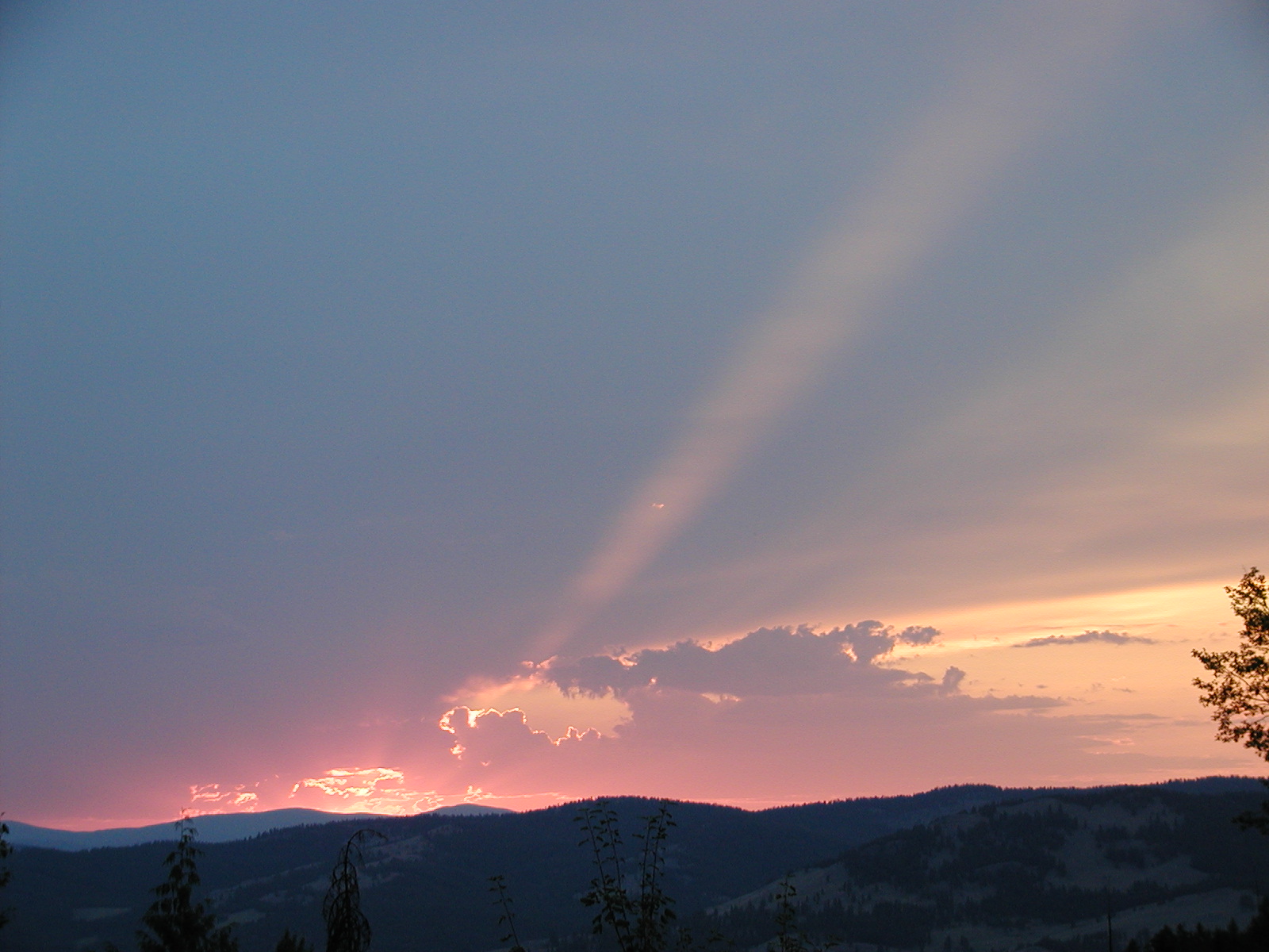
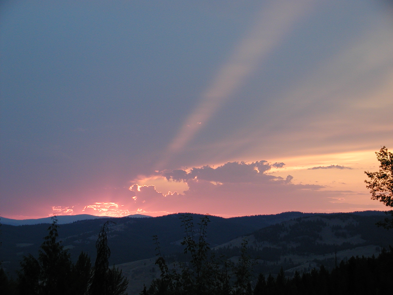
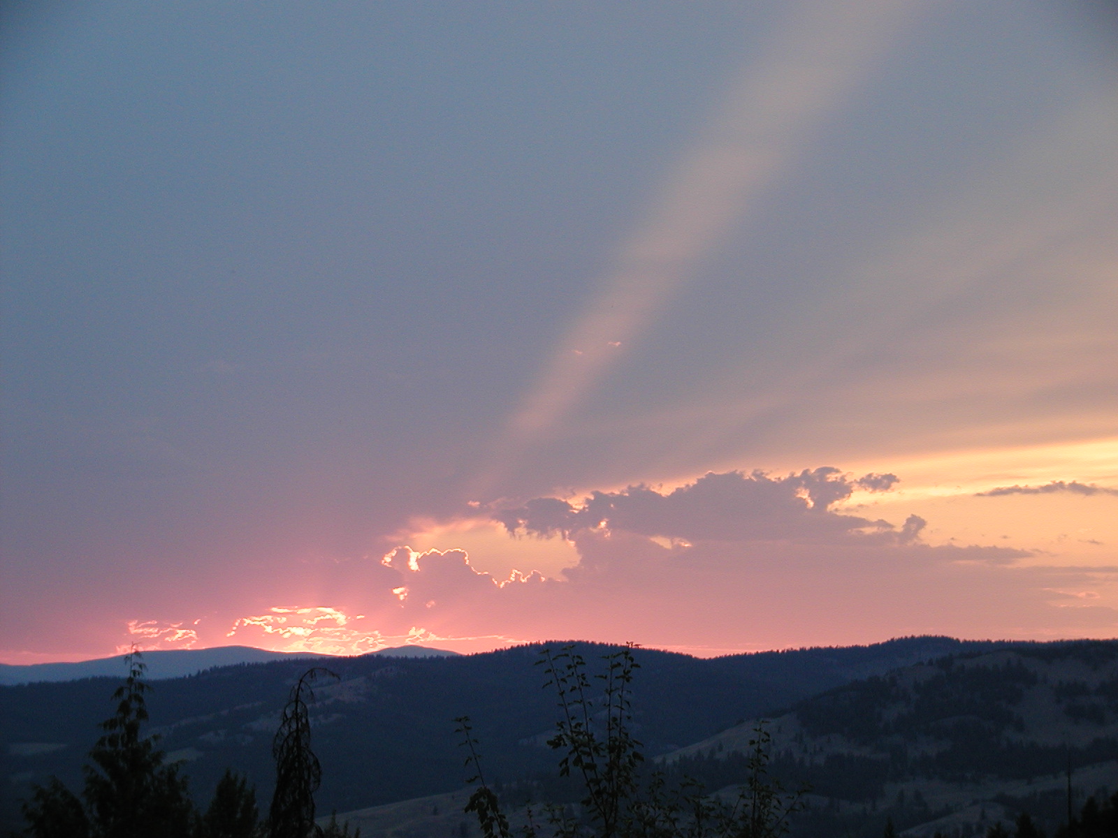
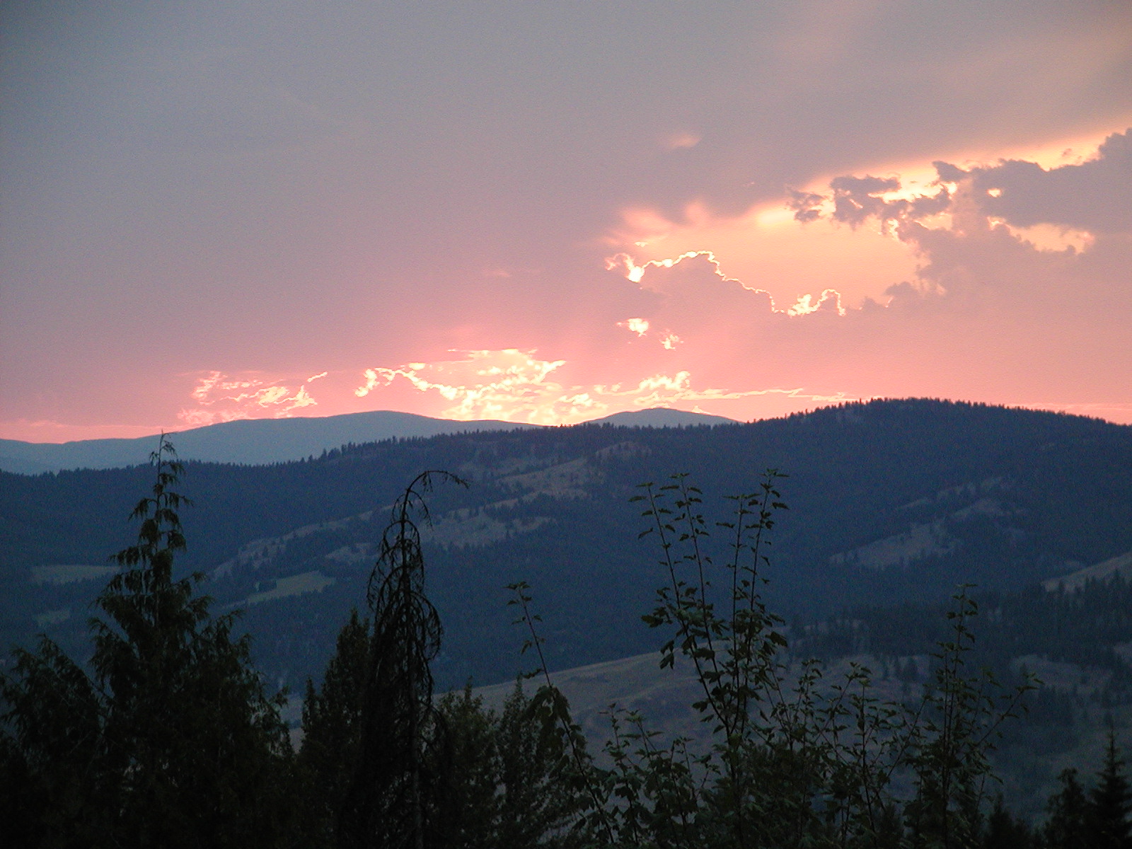
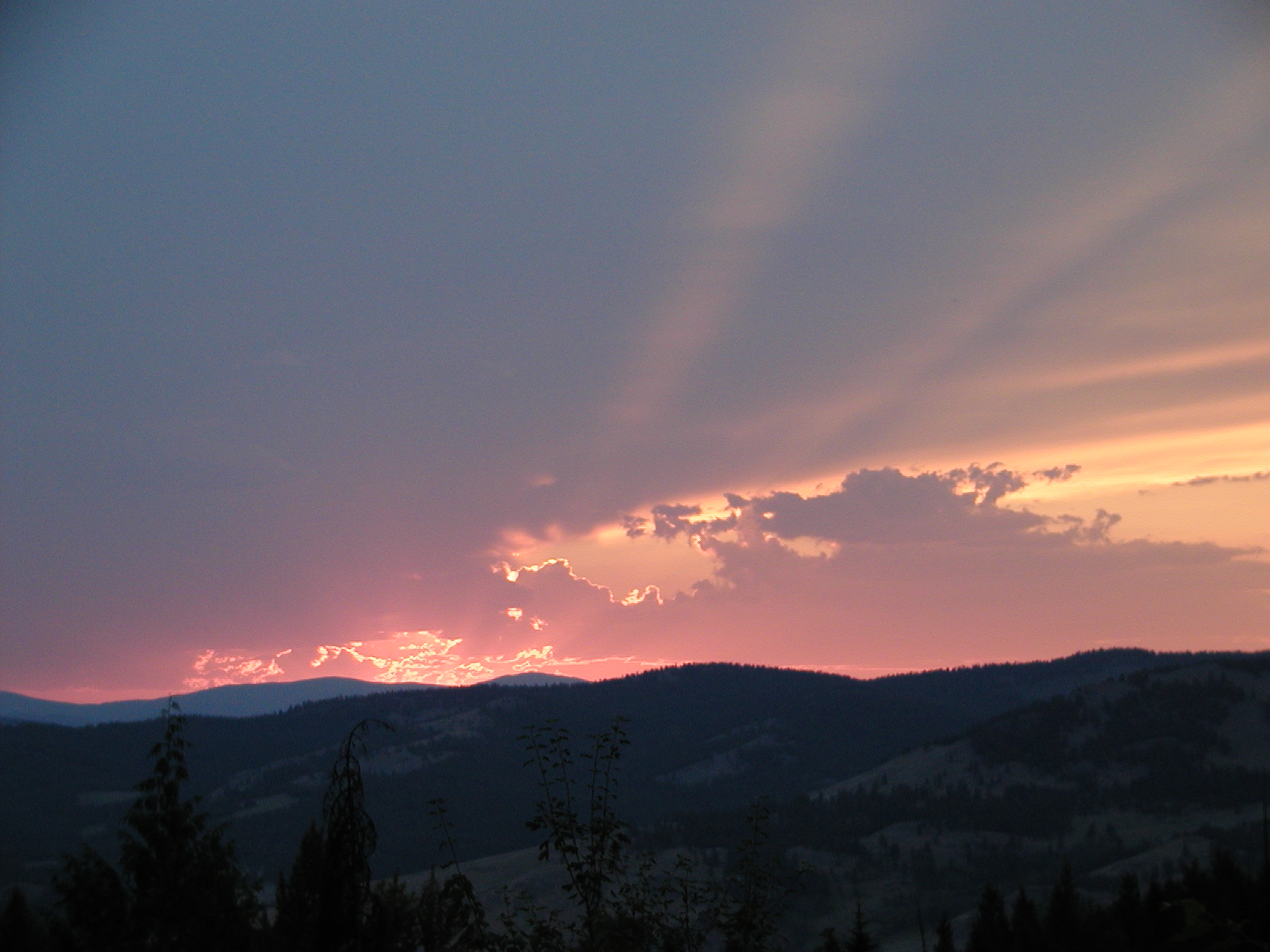
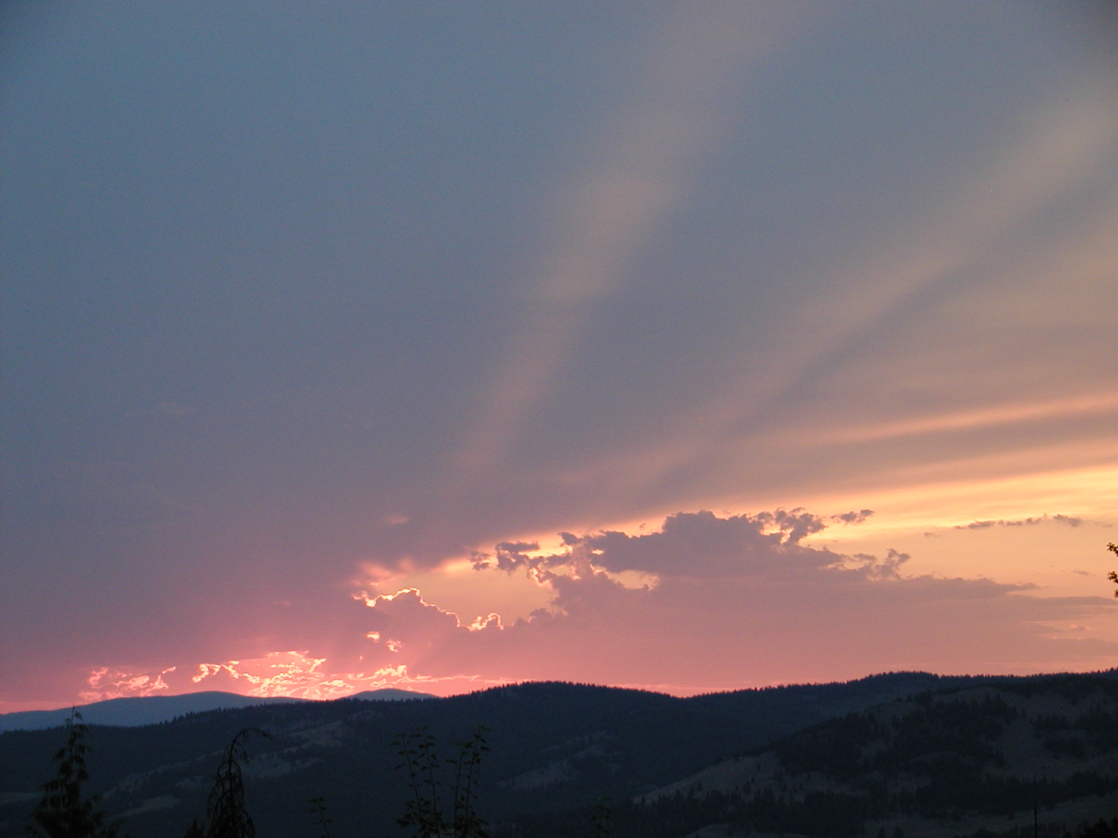
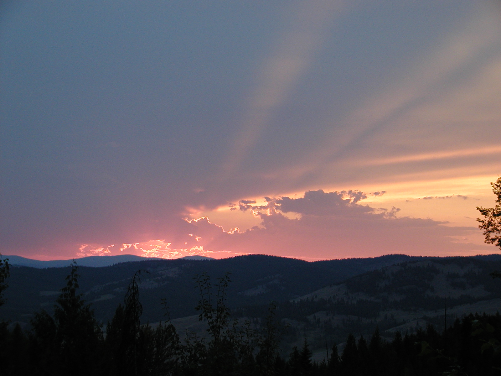
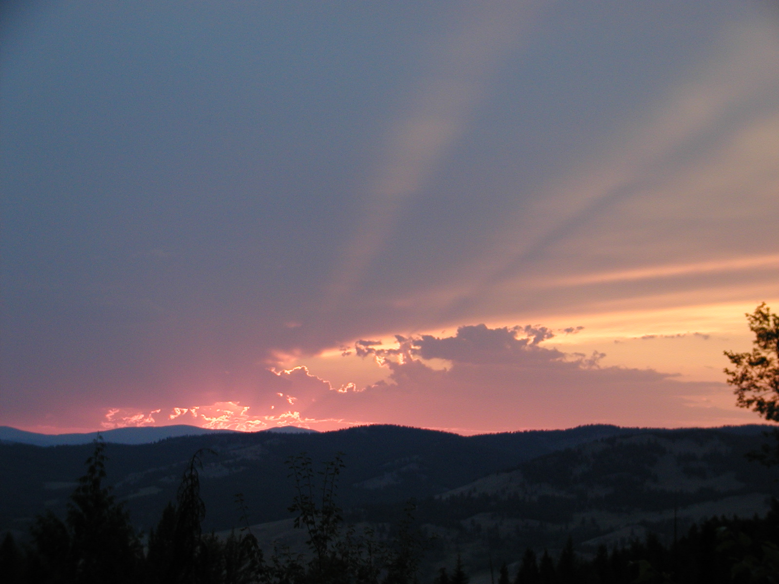
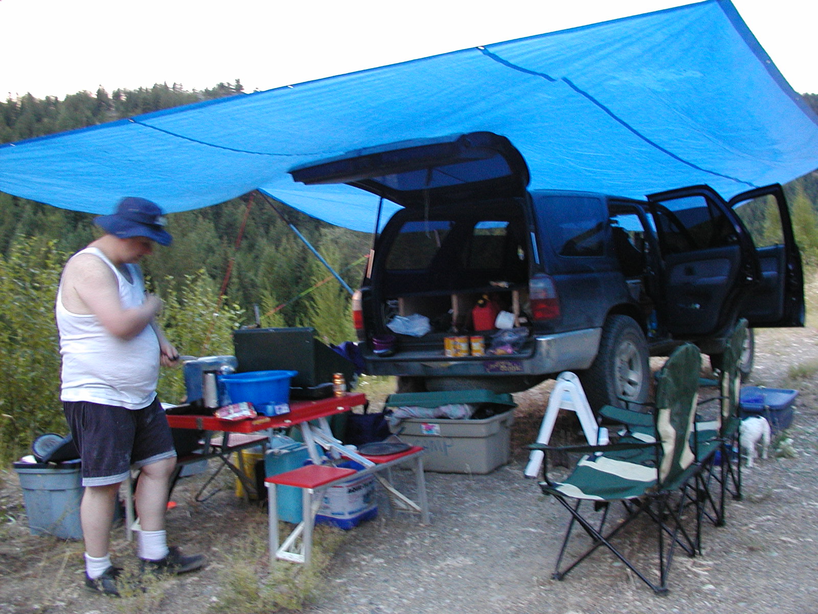
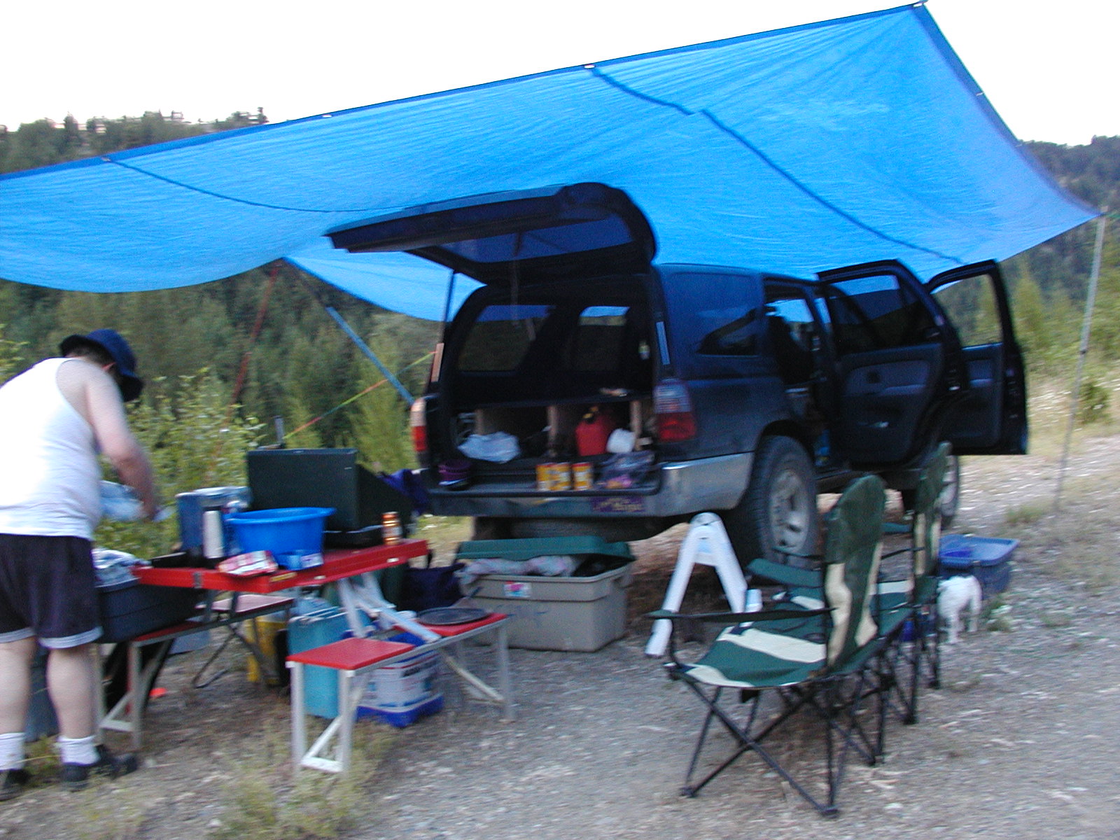
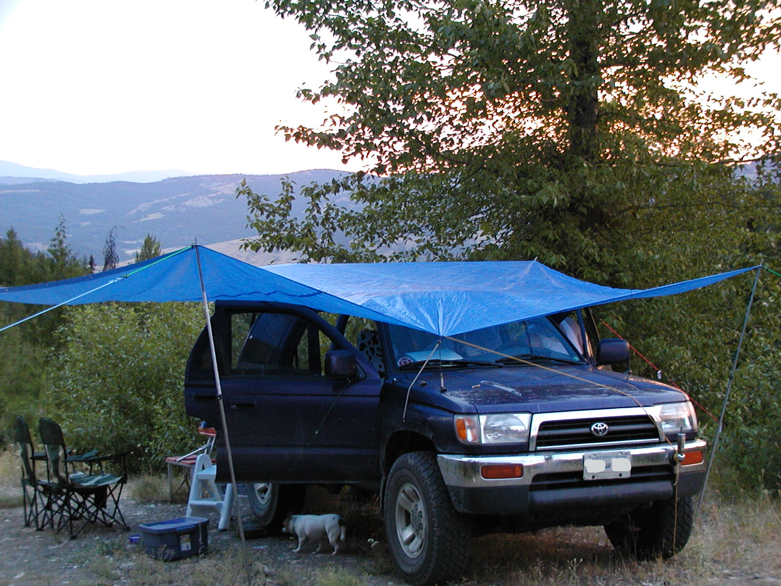
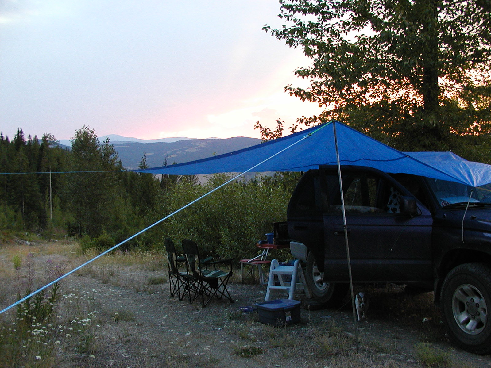
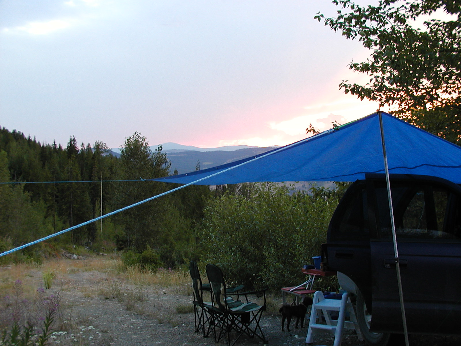
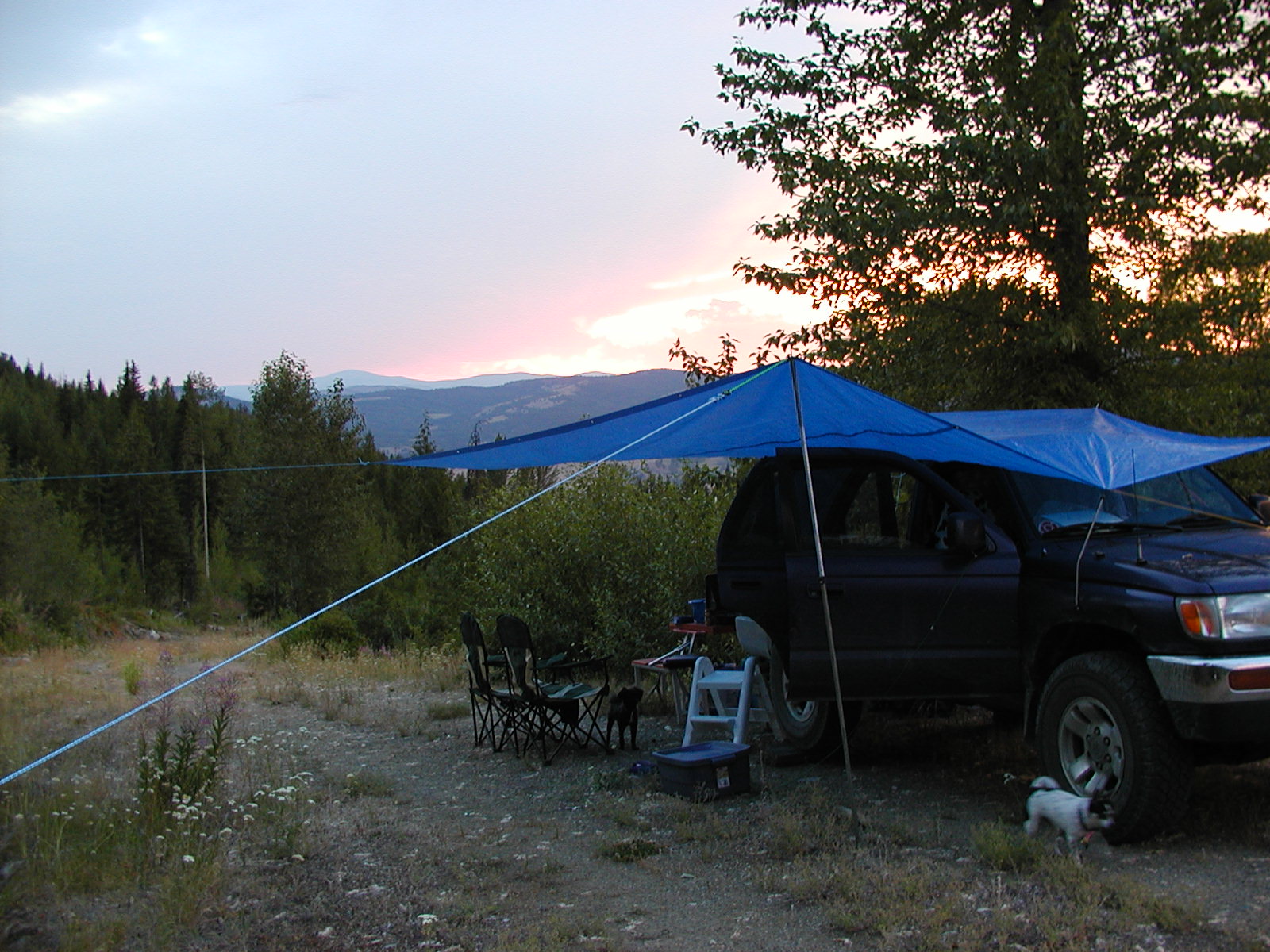
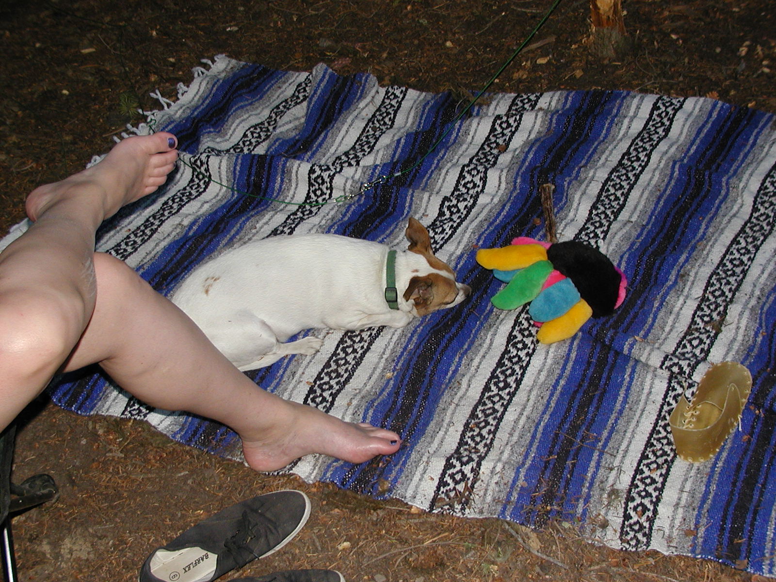
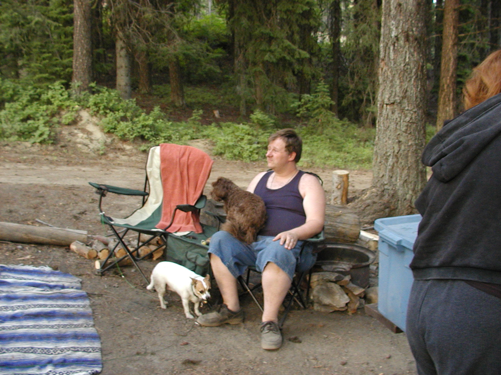
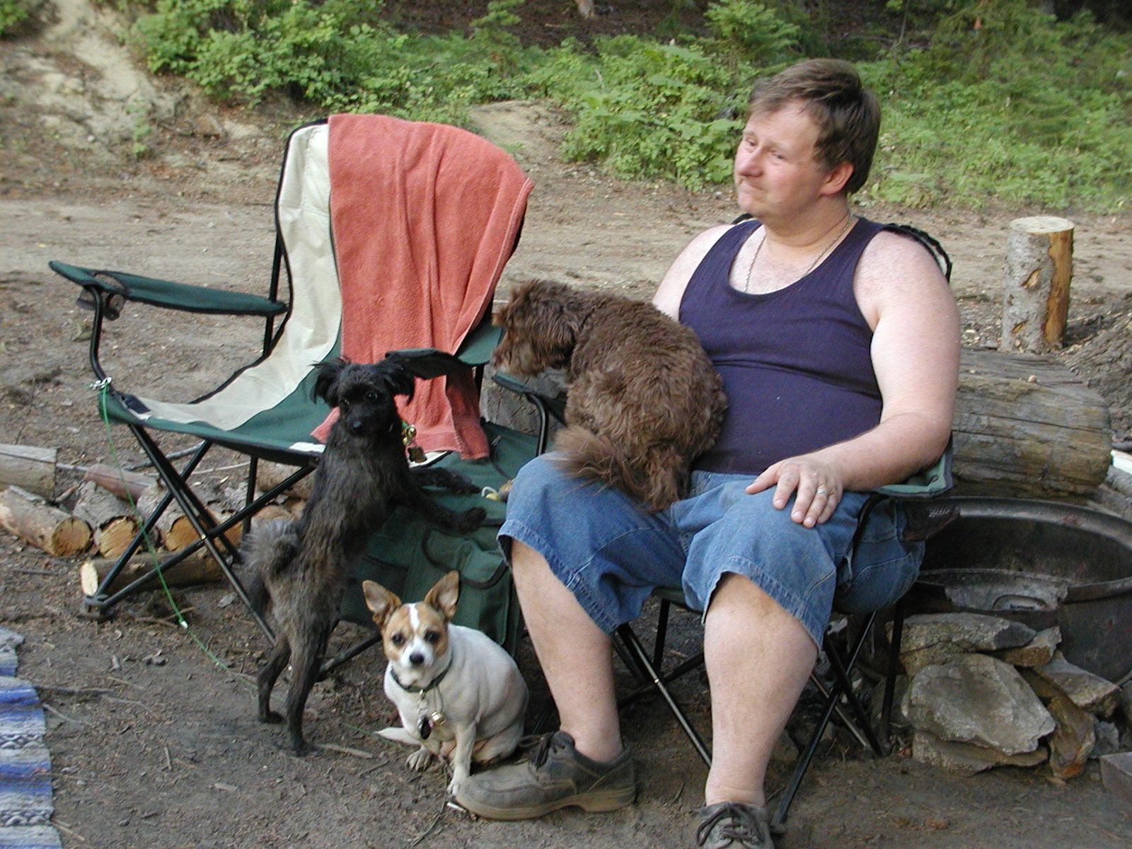
Camping on a side road on the western side of Greenwood, BC watching the sunset while listening to the forestry radio stating the hazard rating was now at a catastrophic rating for the whole area. We tarped that night because there was actually lightening that night with the sunset.


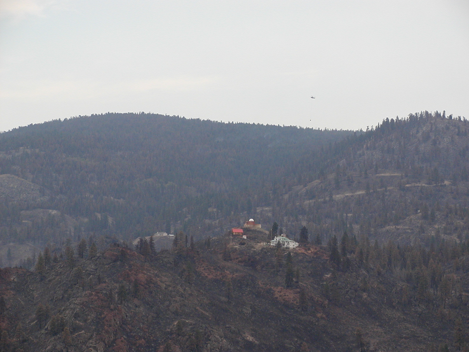
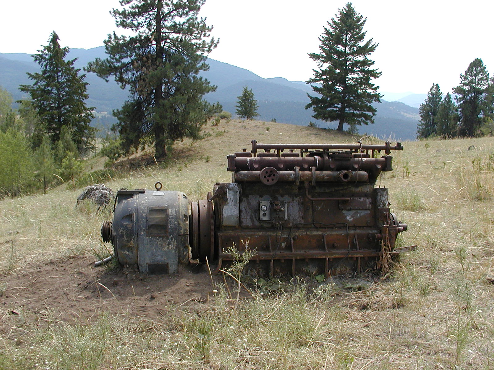
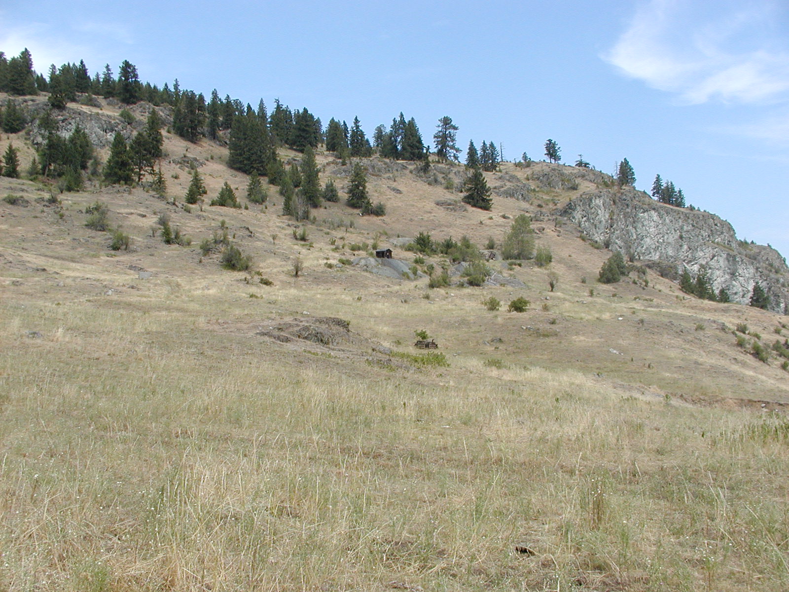
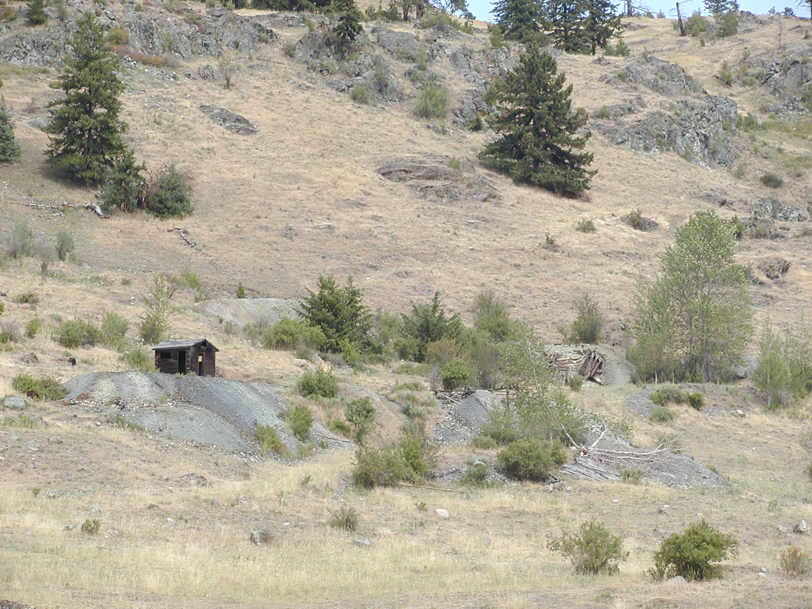
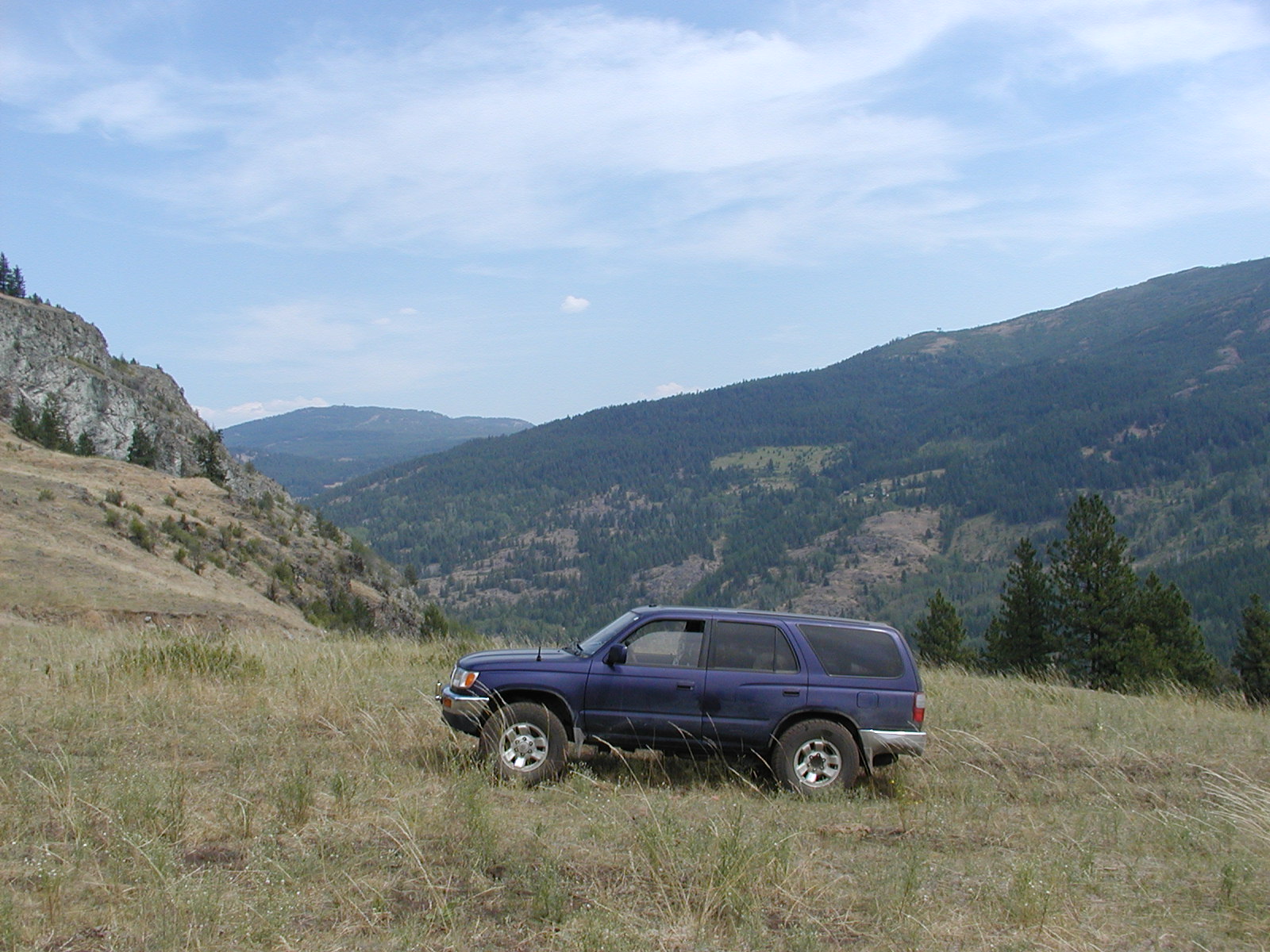
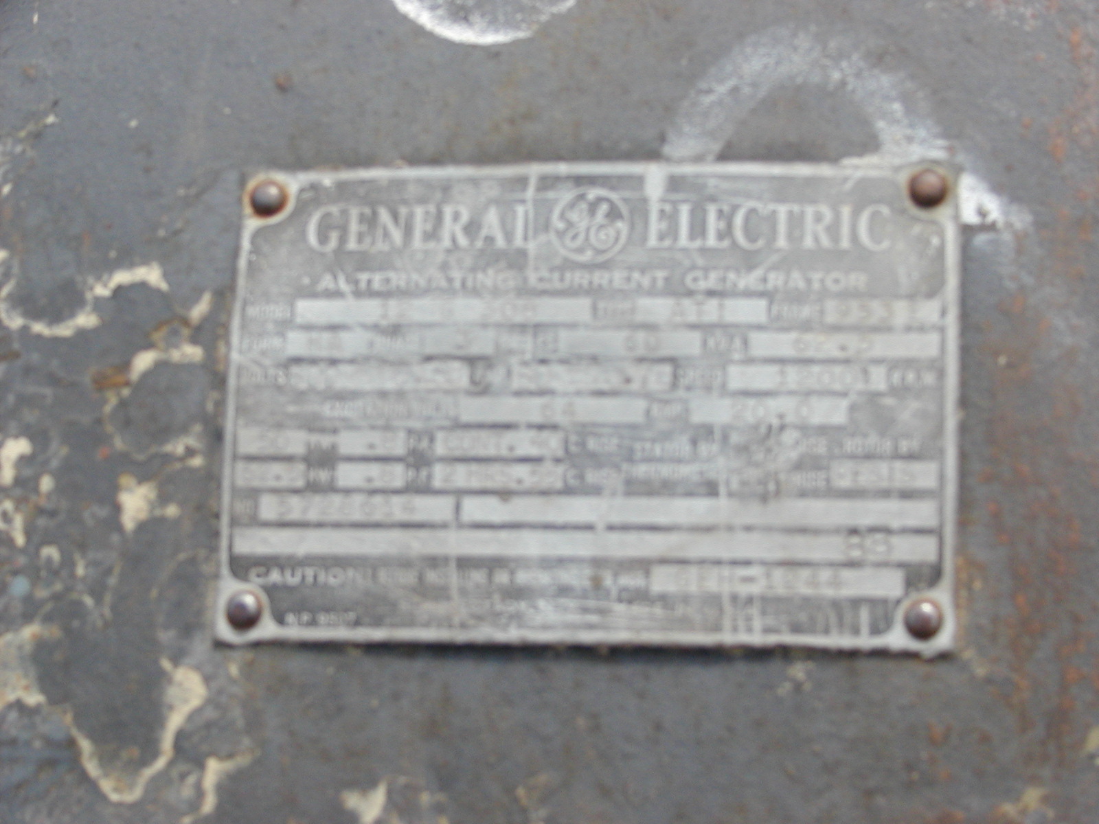
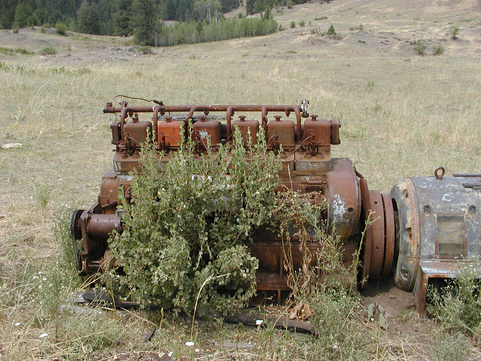
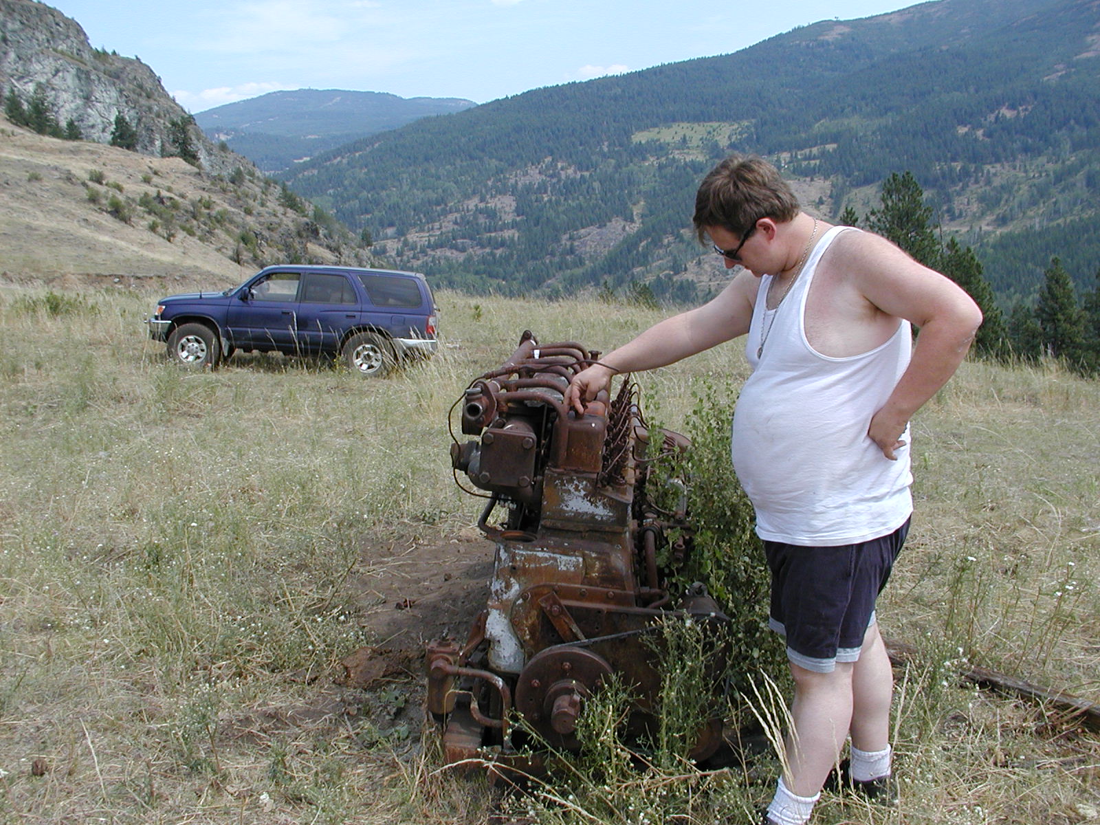
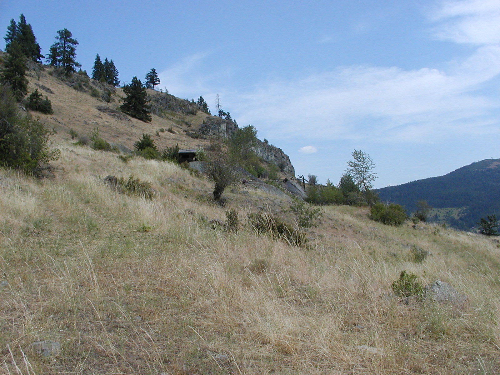
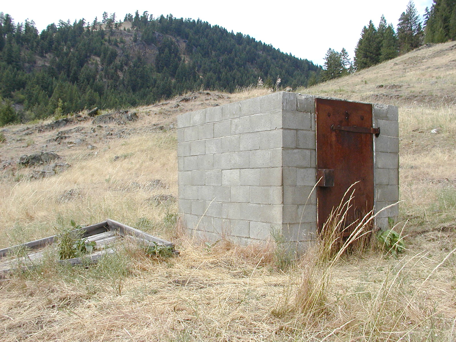
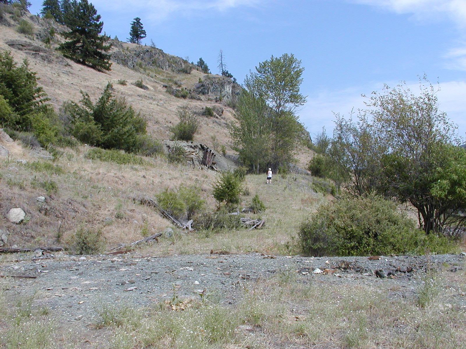
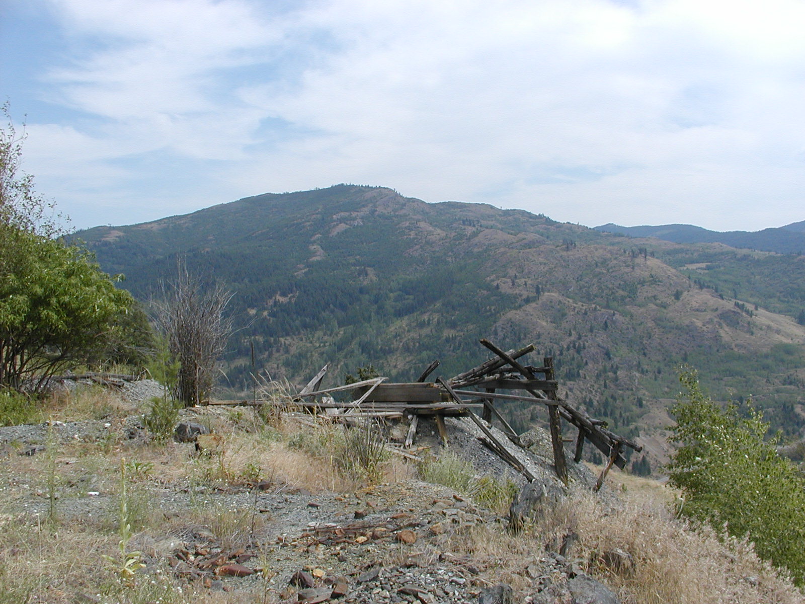
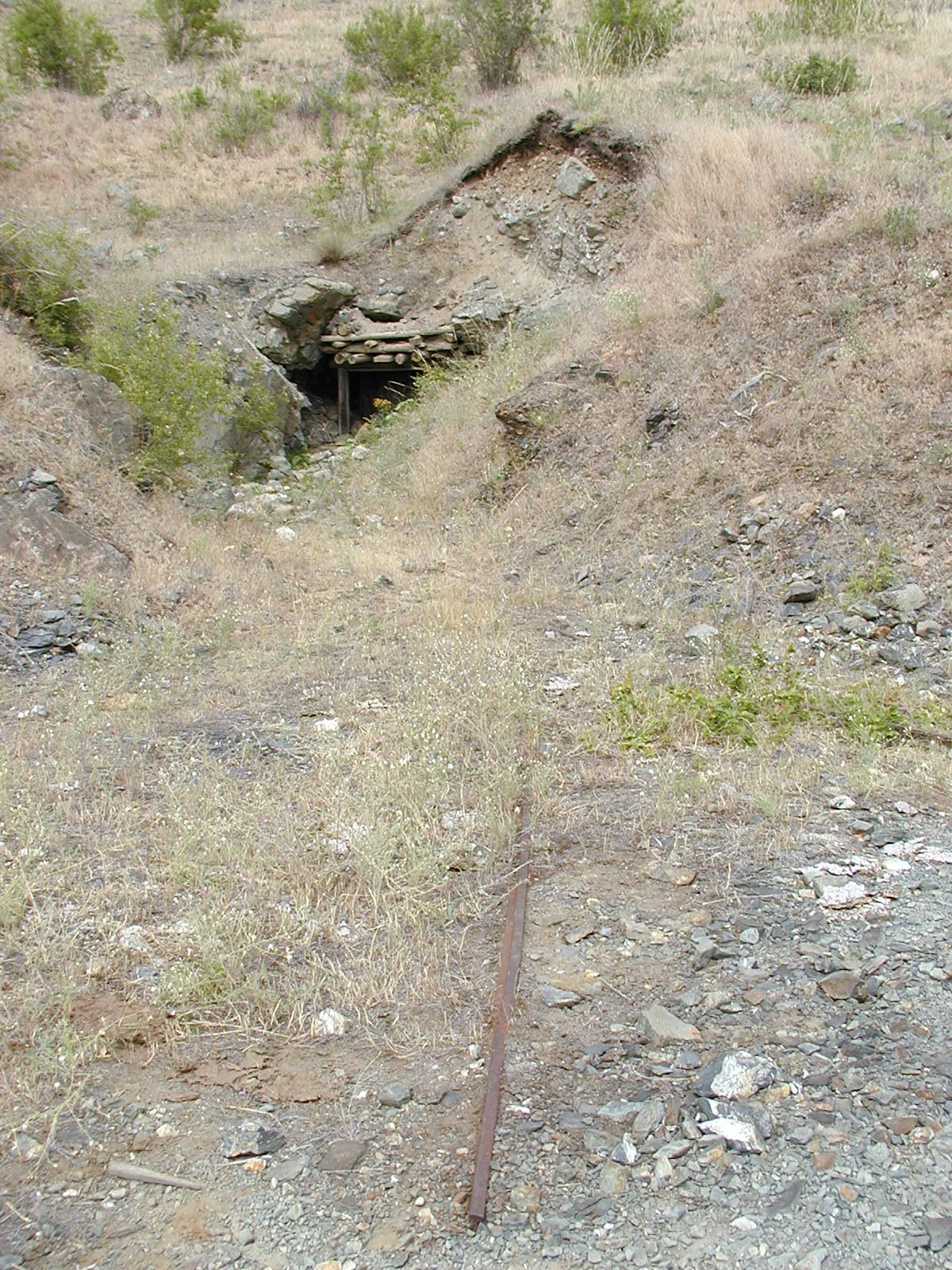
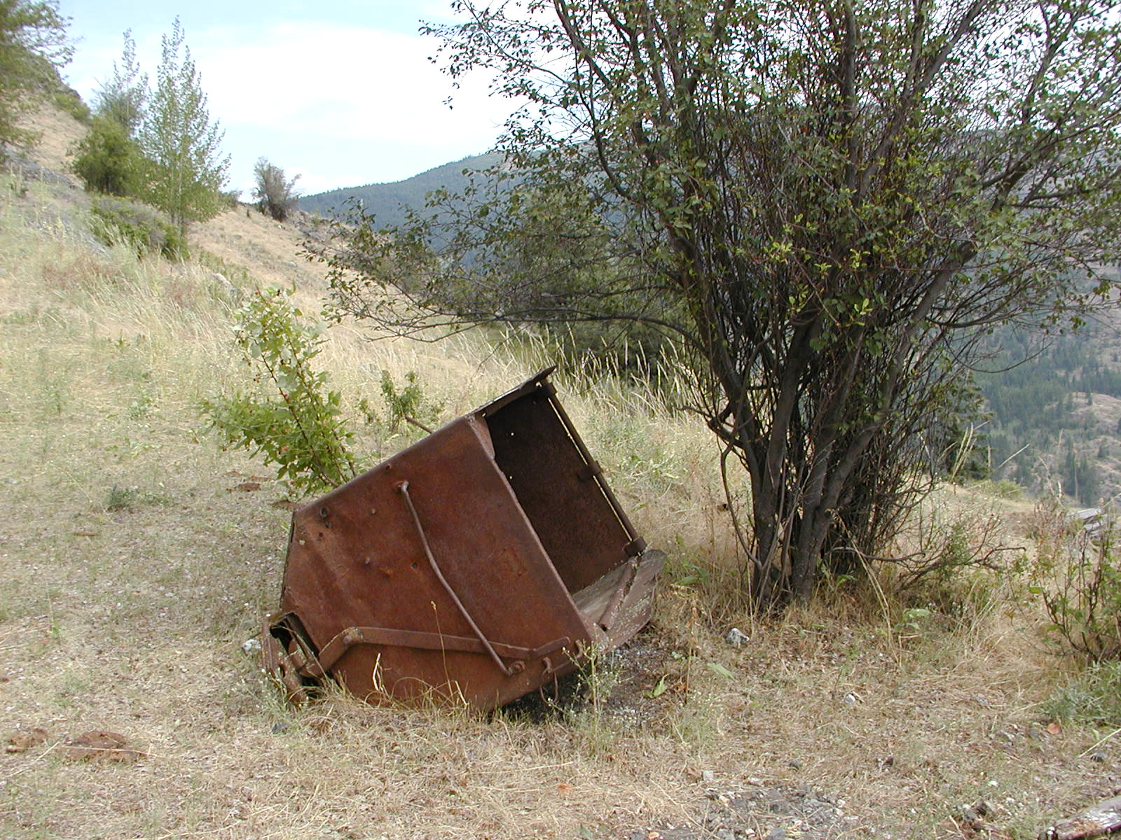
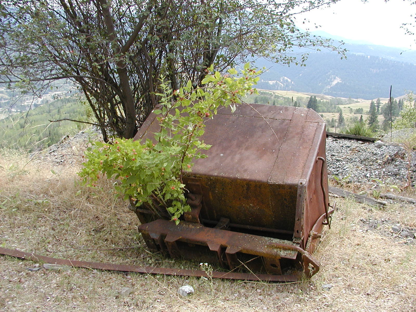
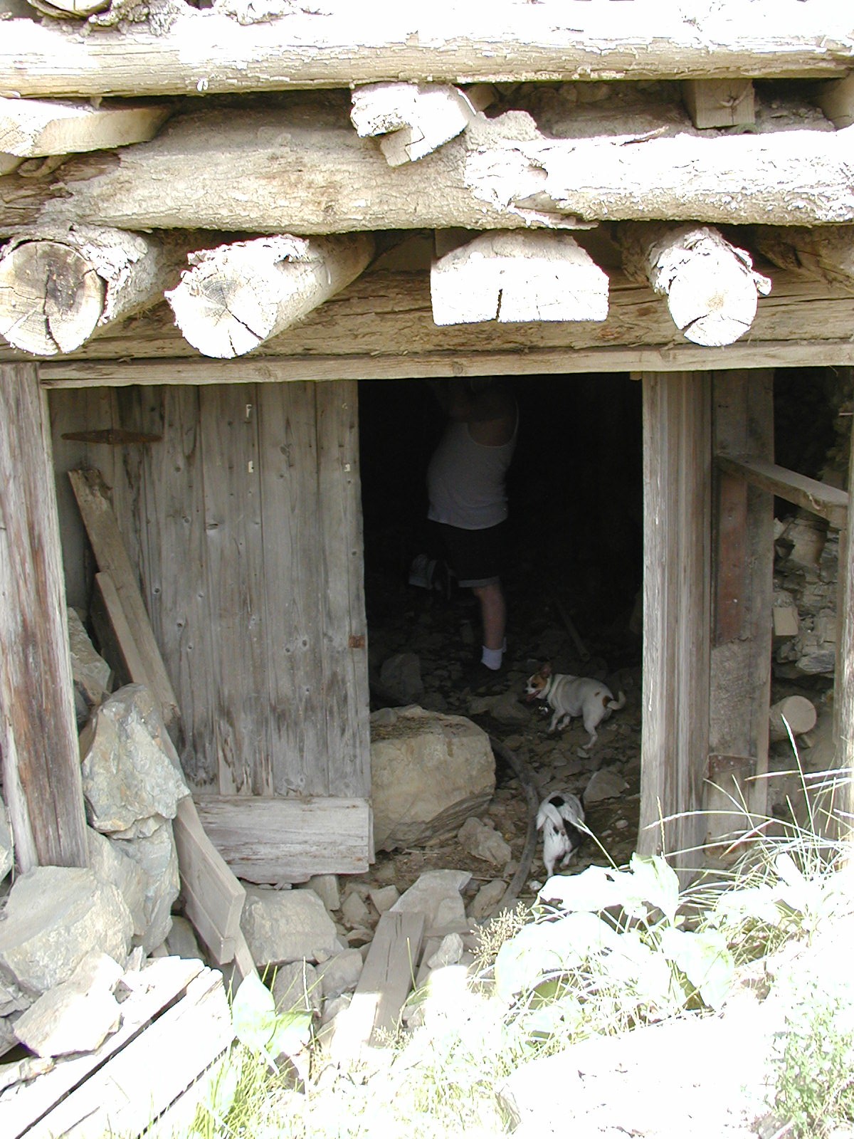
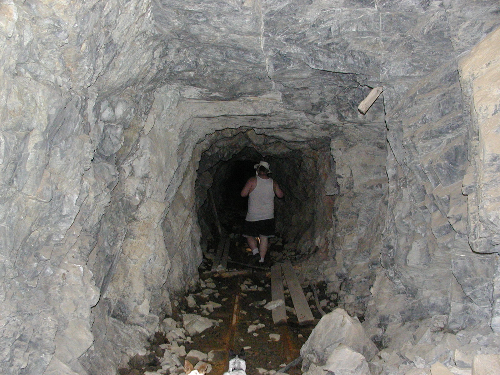
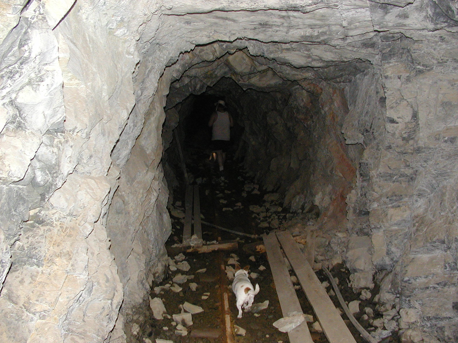
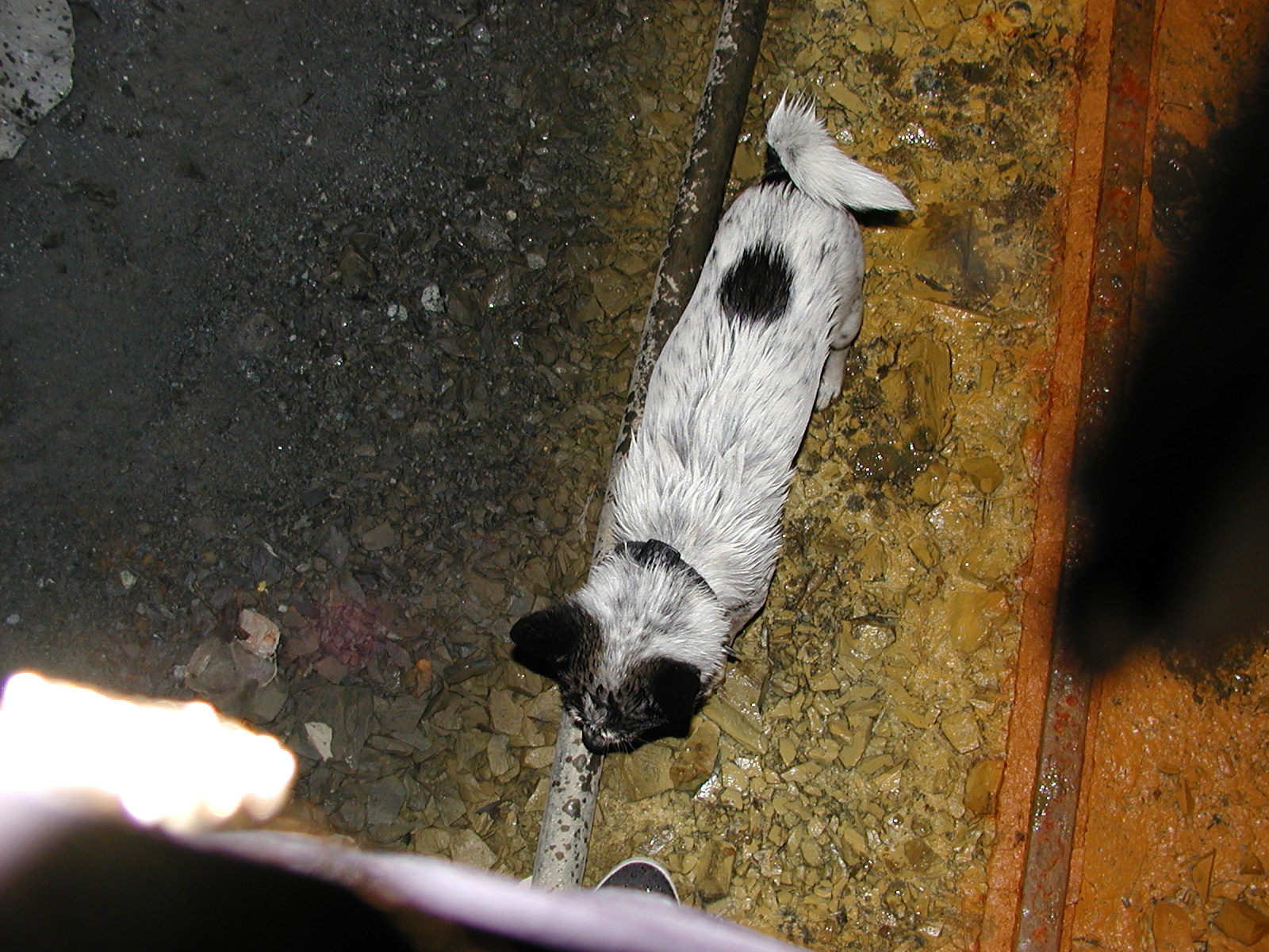
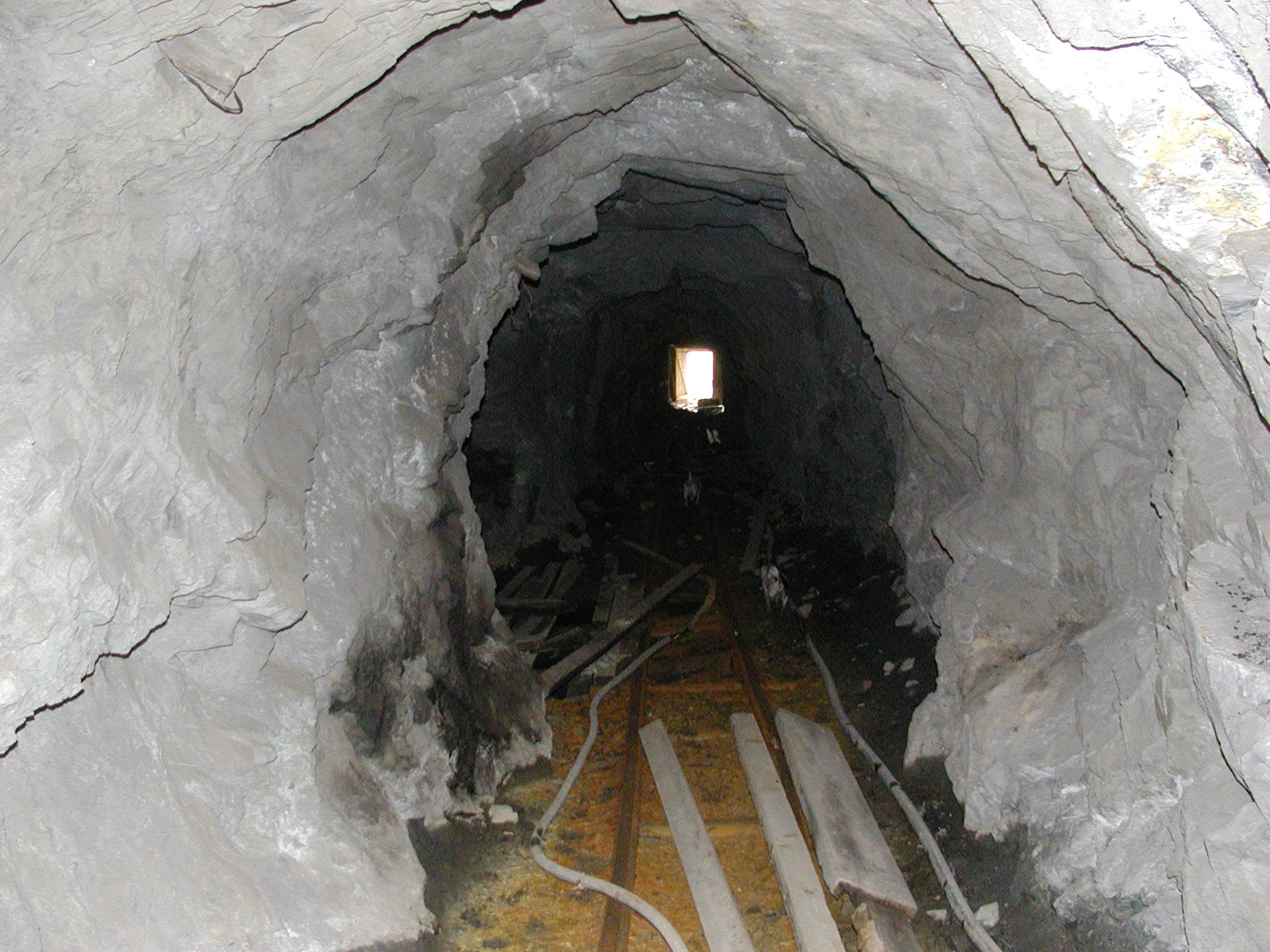
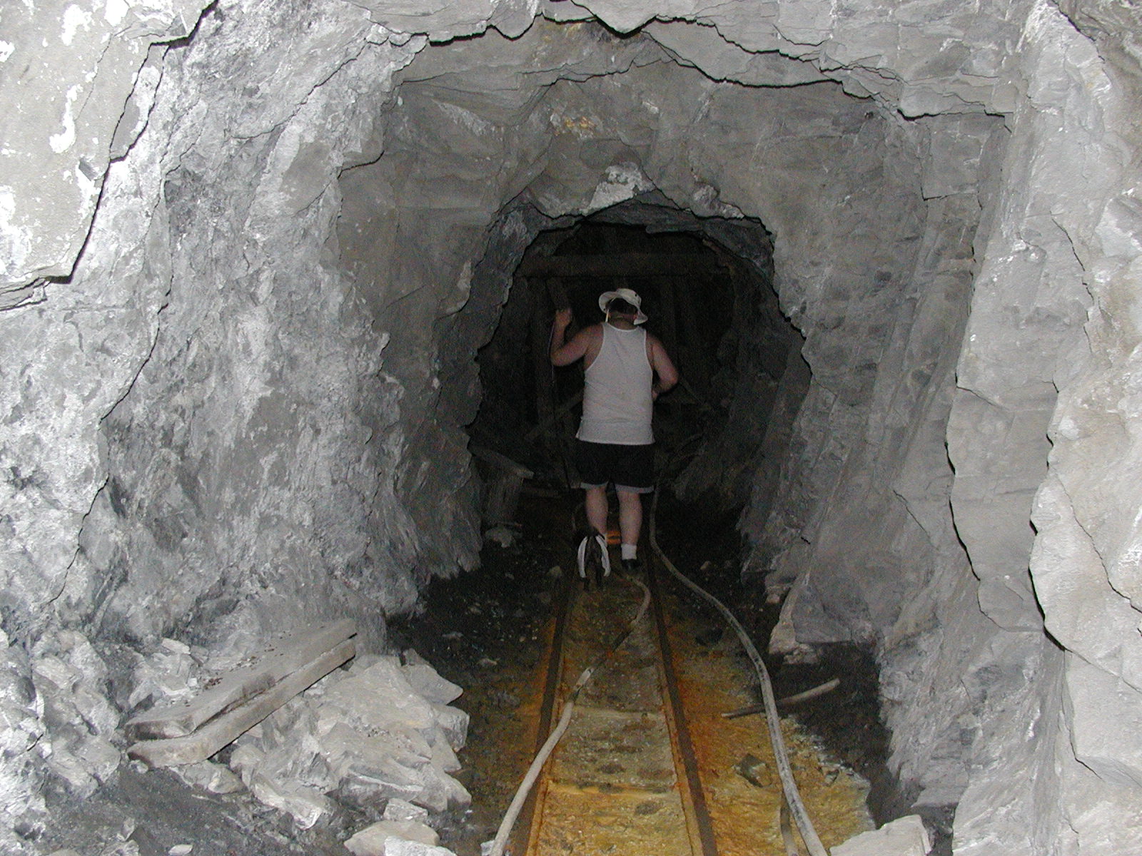
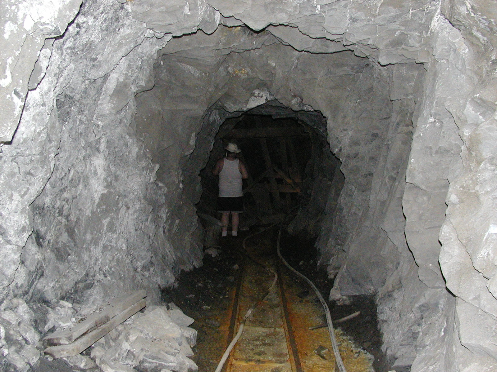
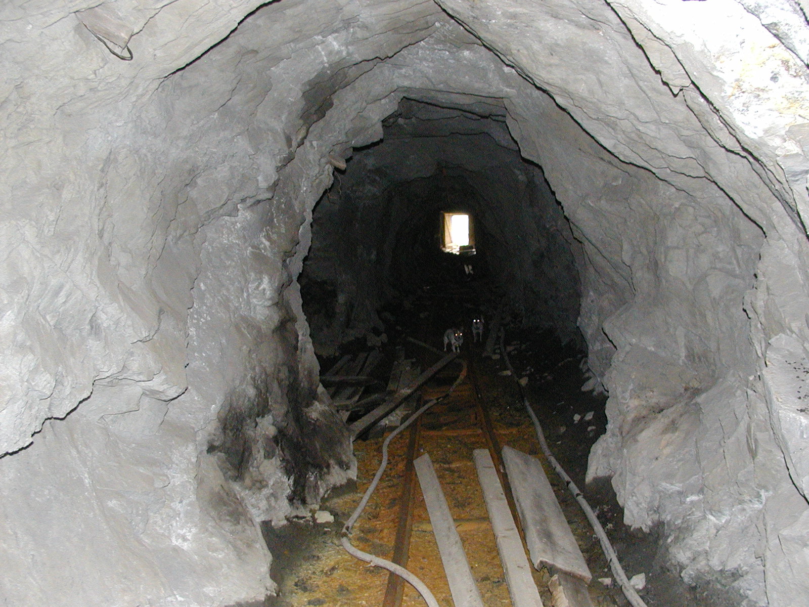
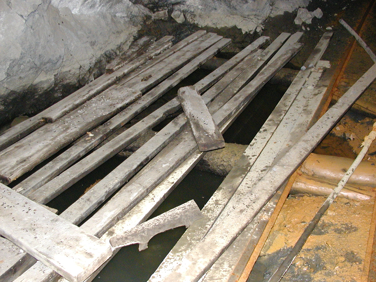
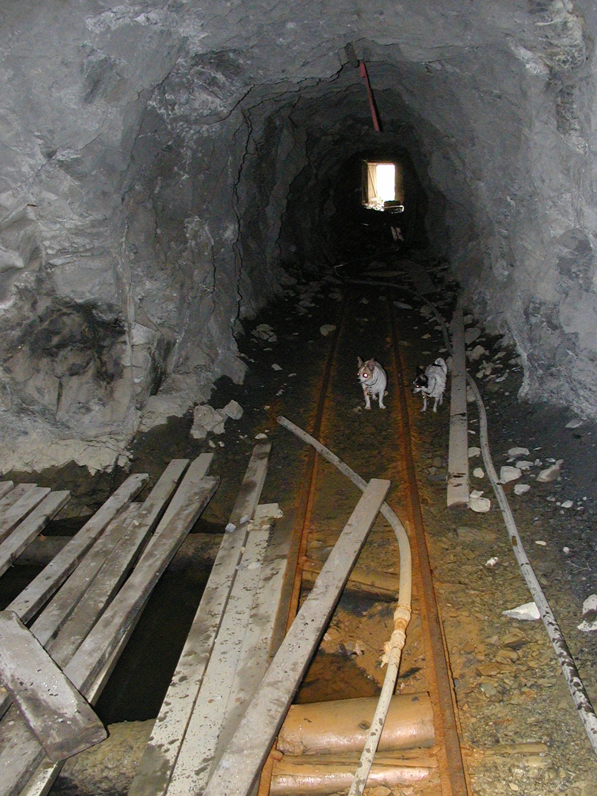
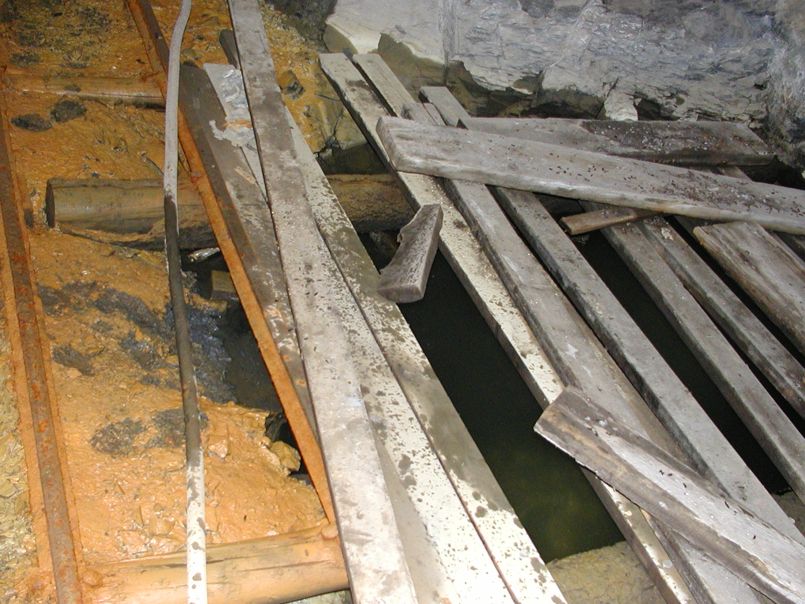
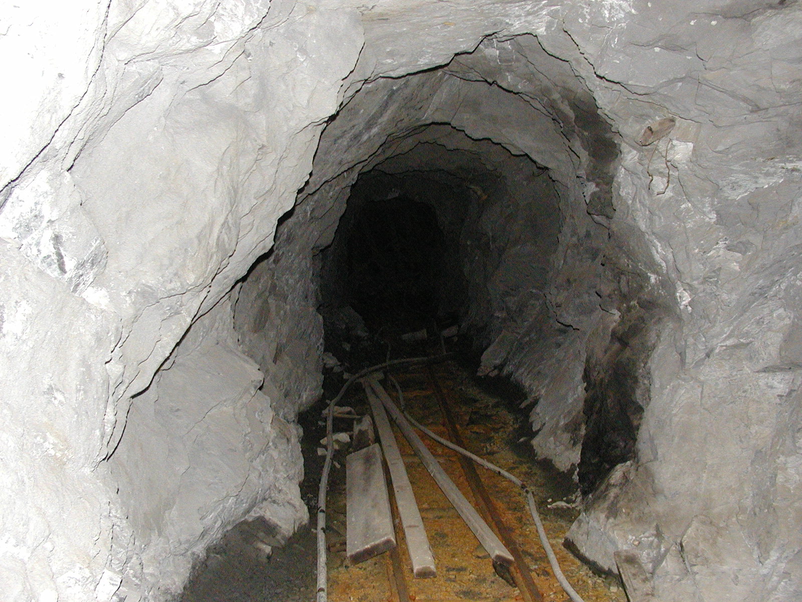
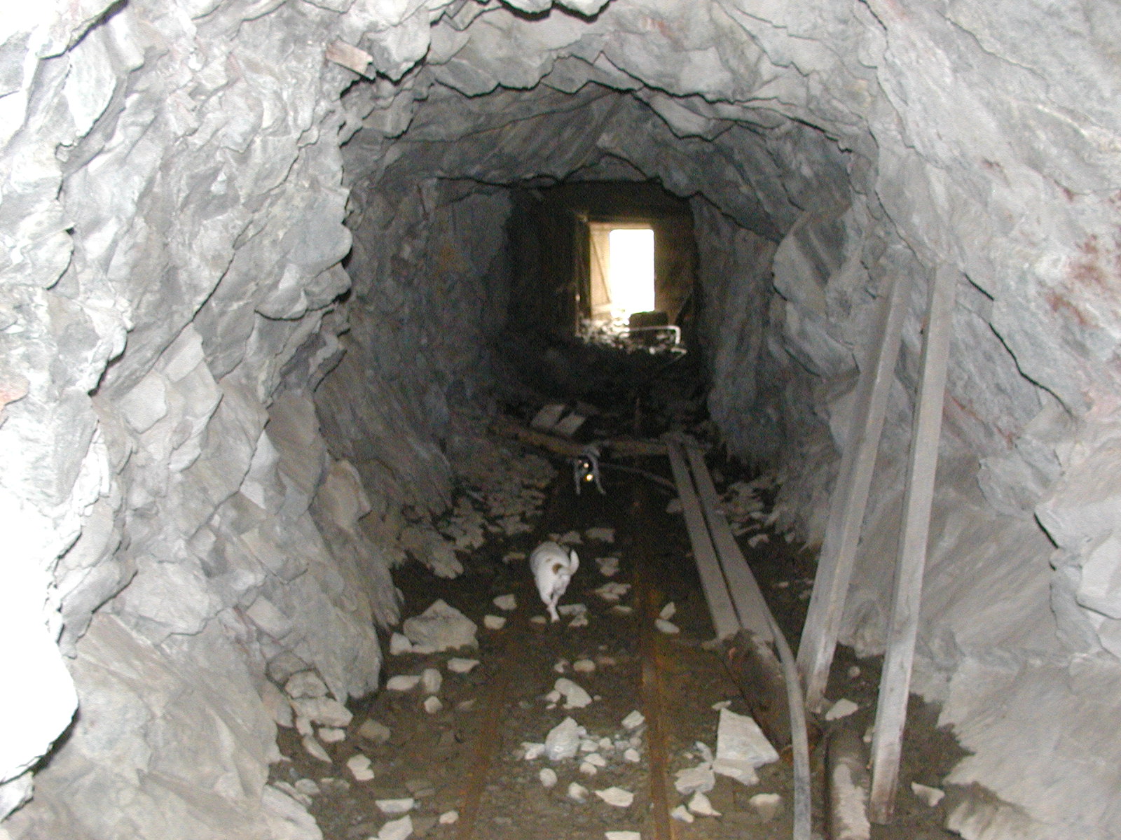
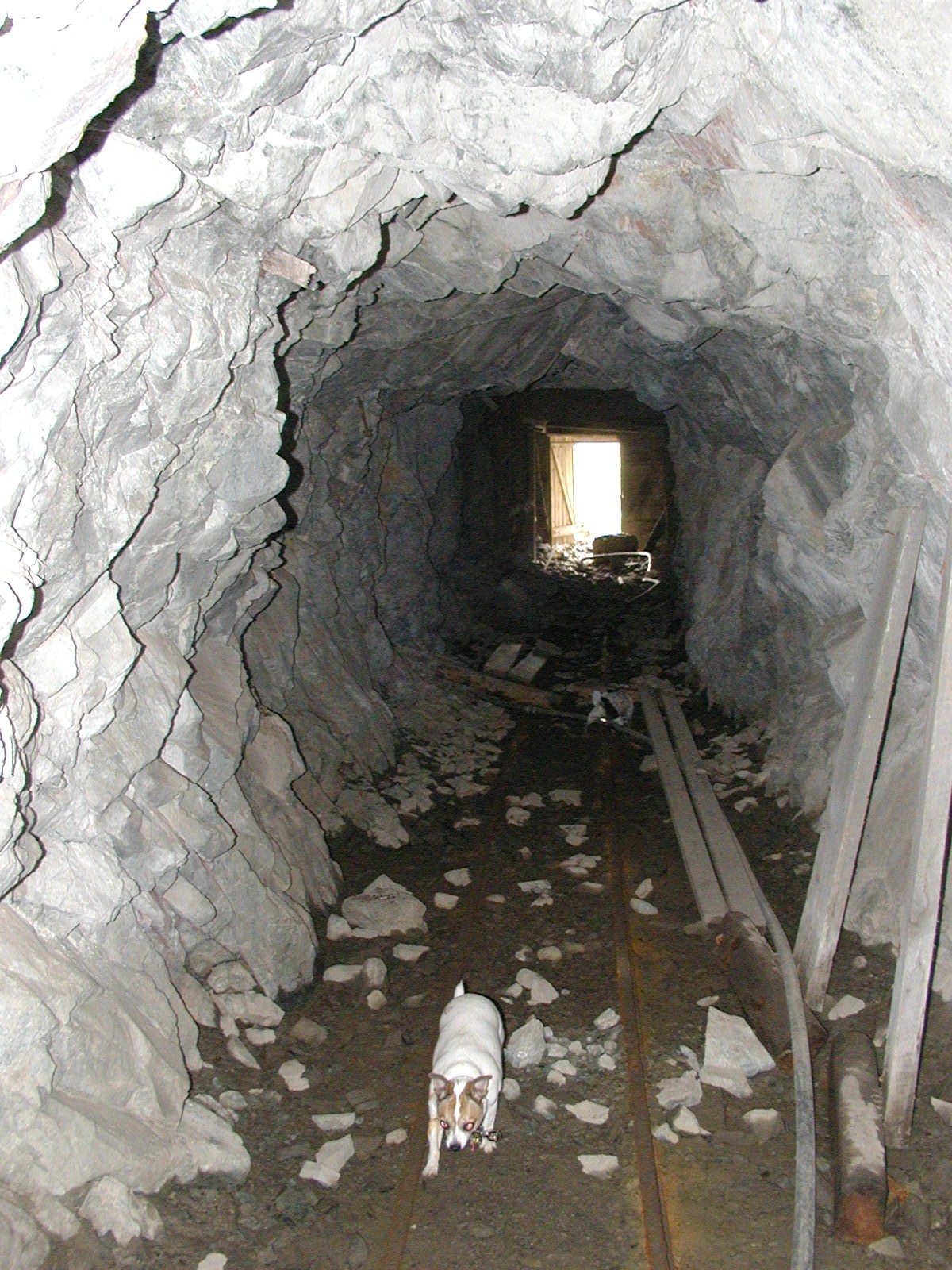
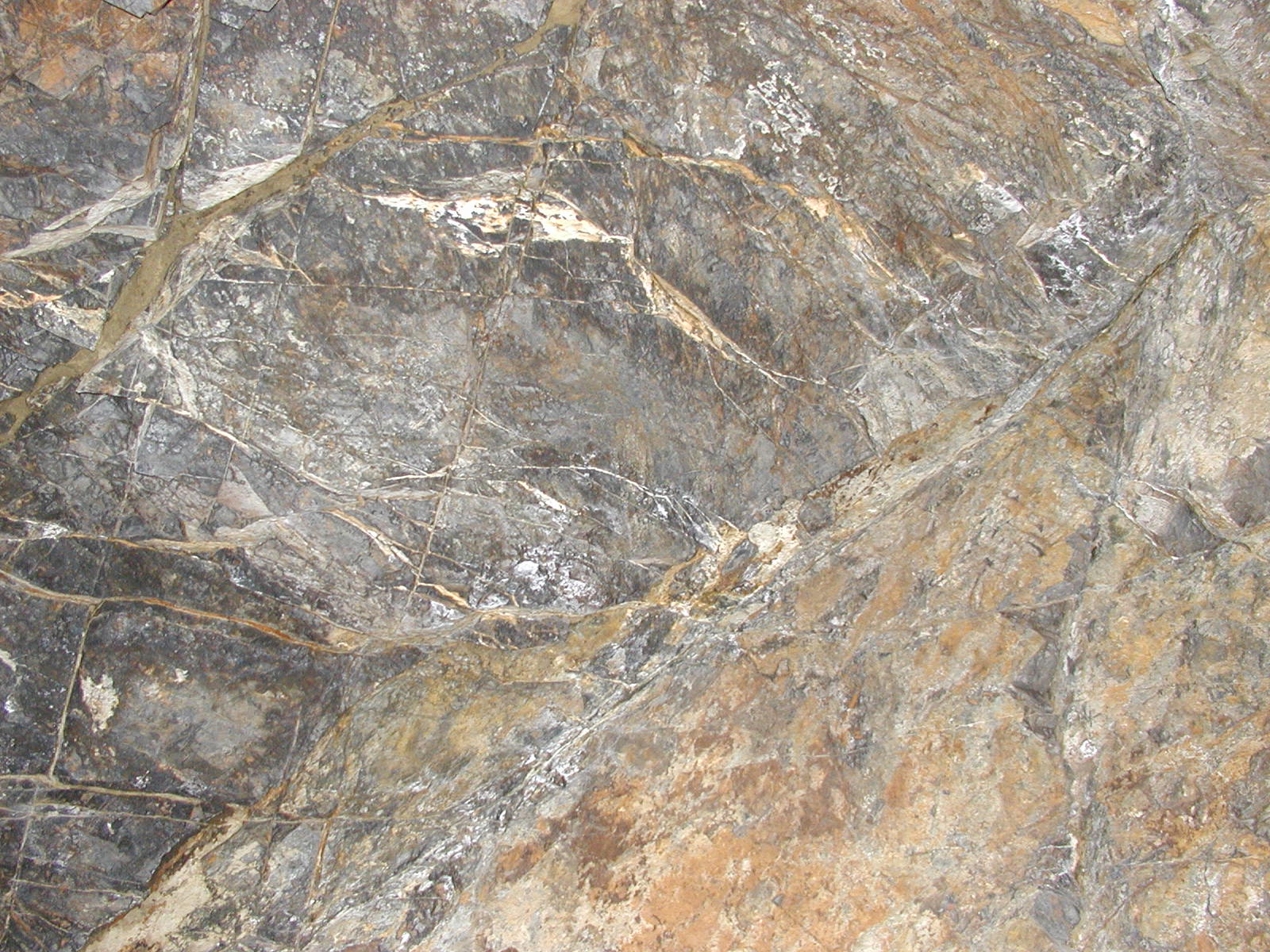
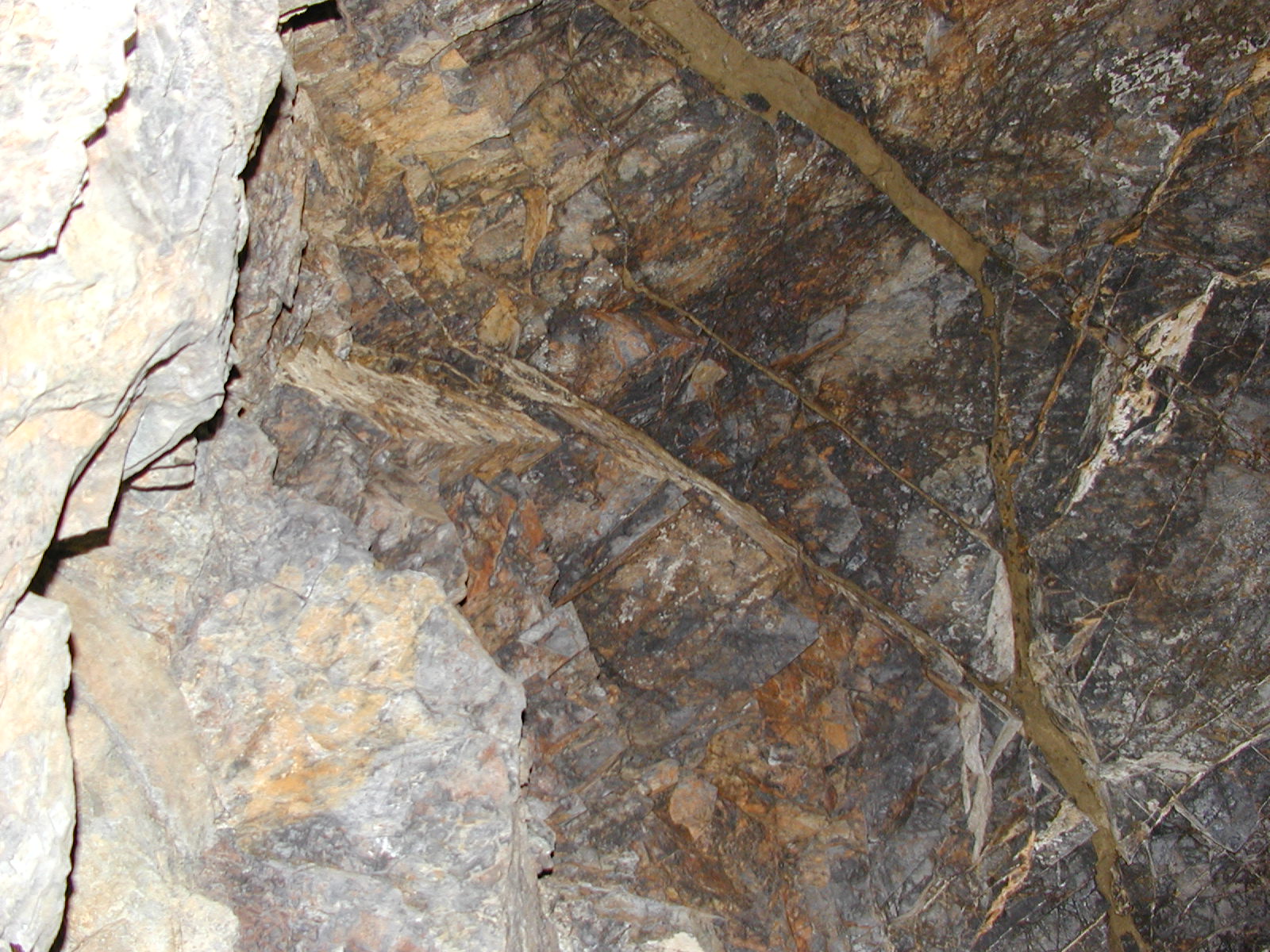
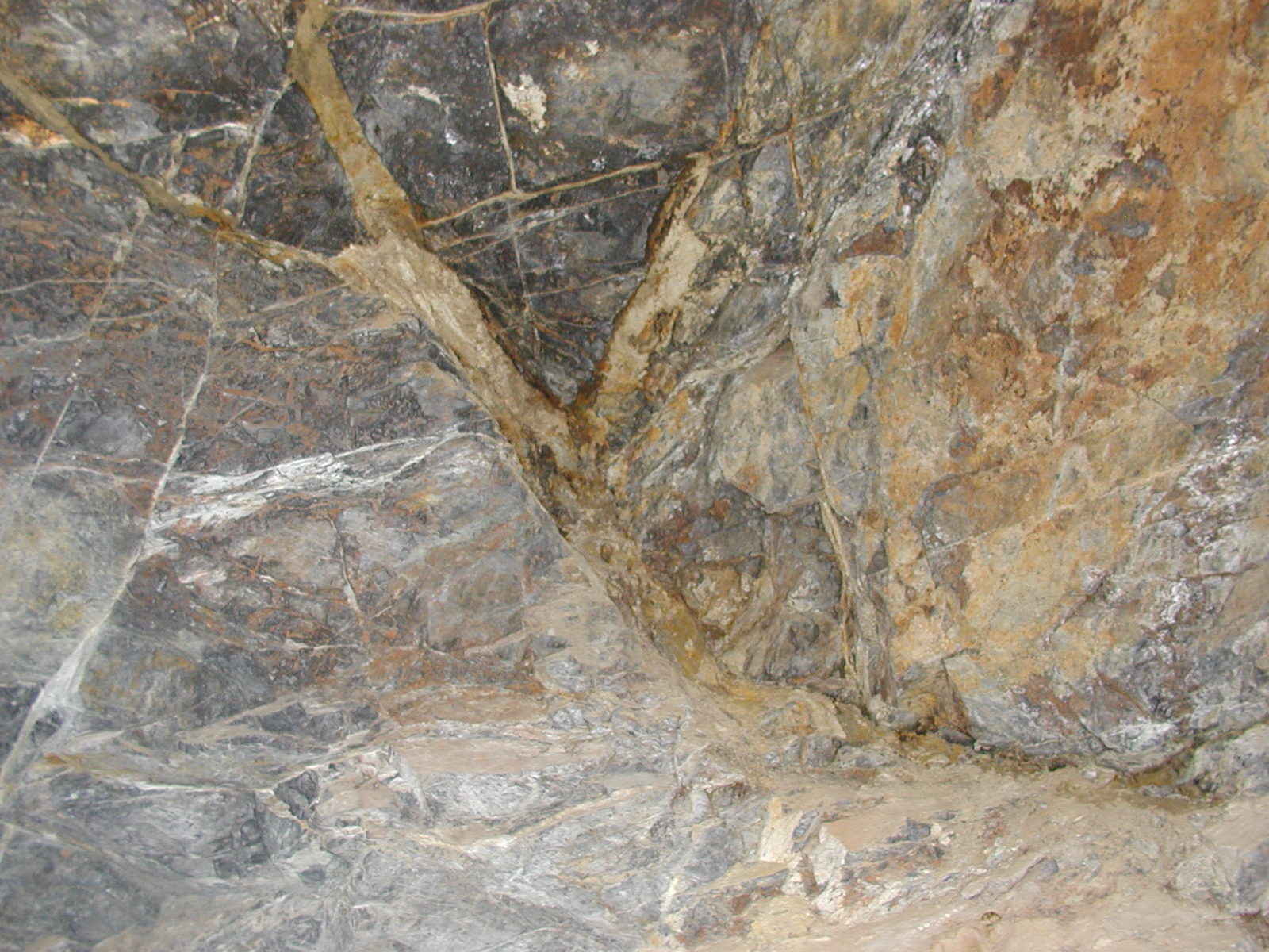
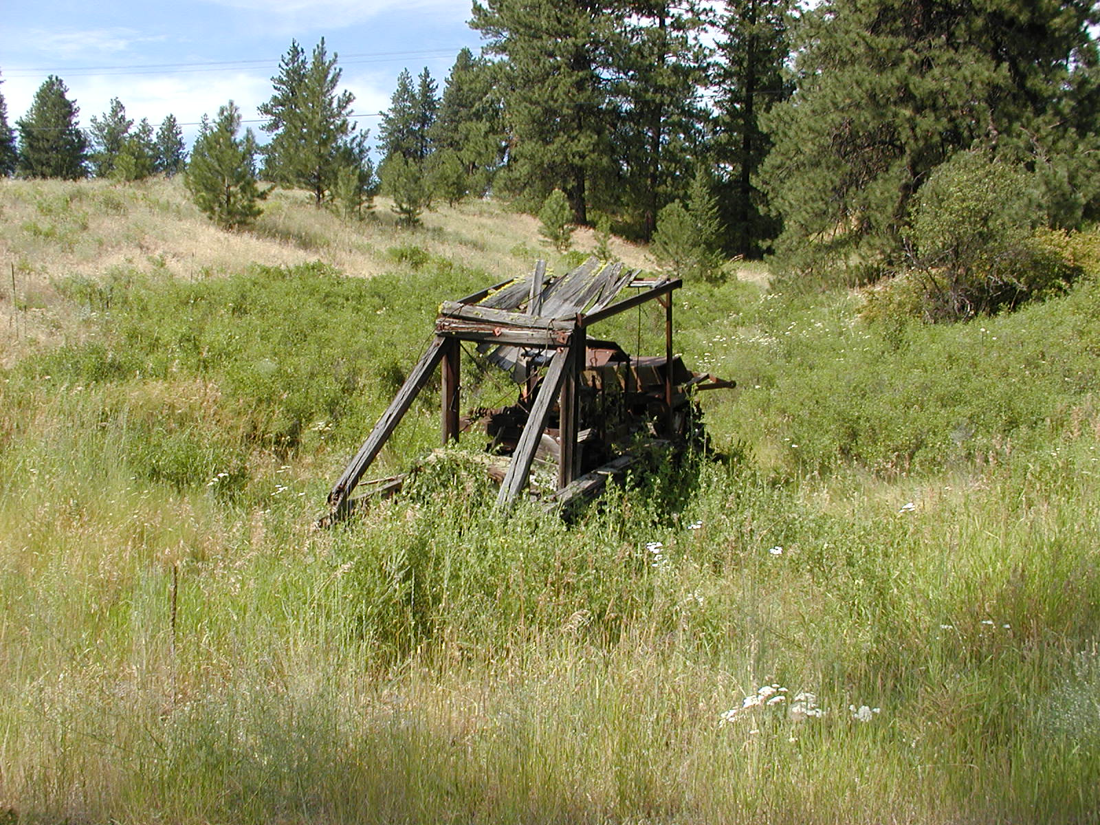
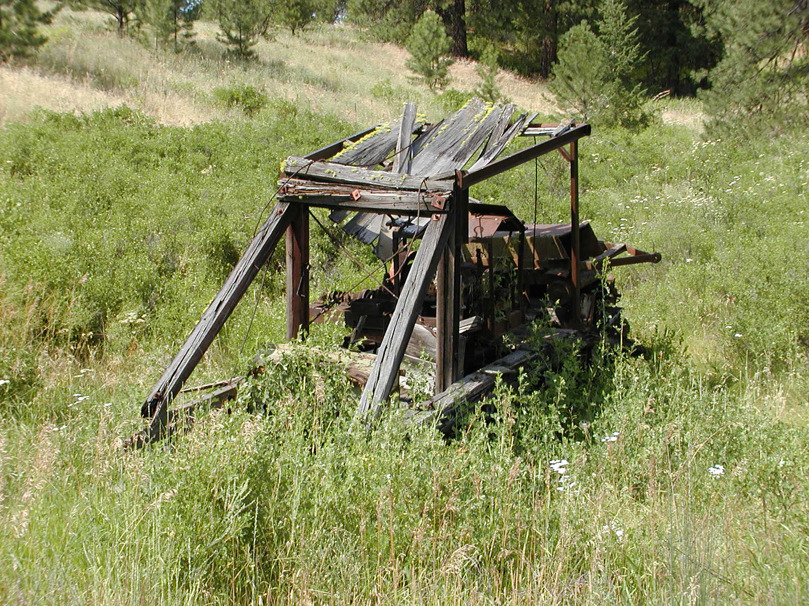
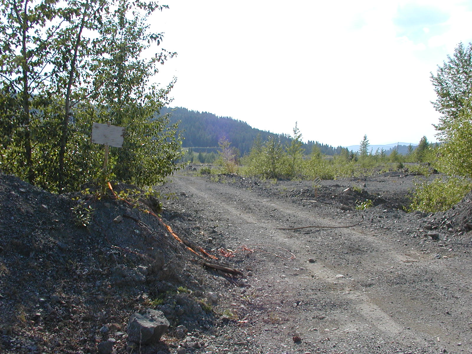
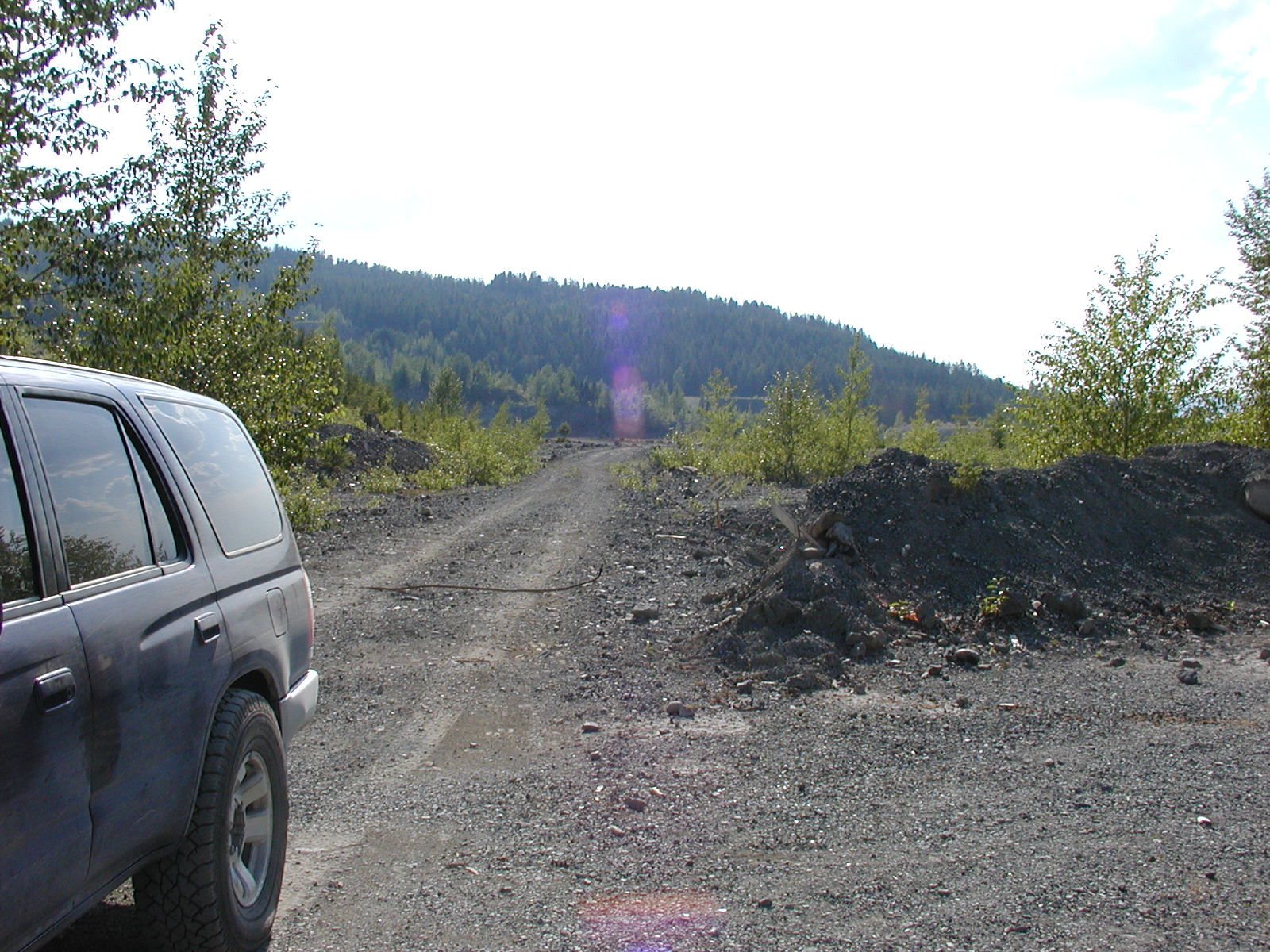
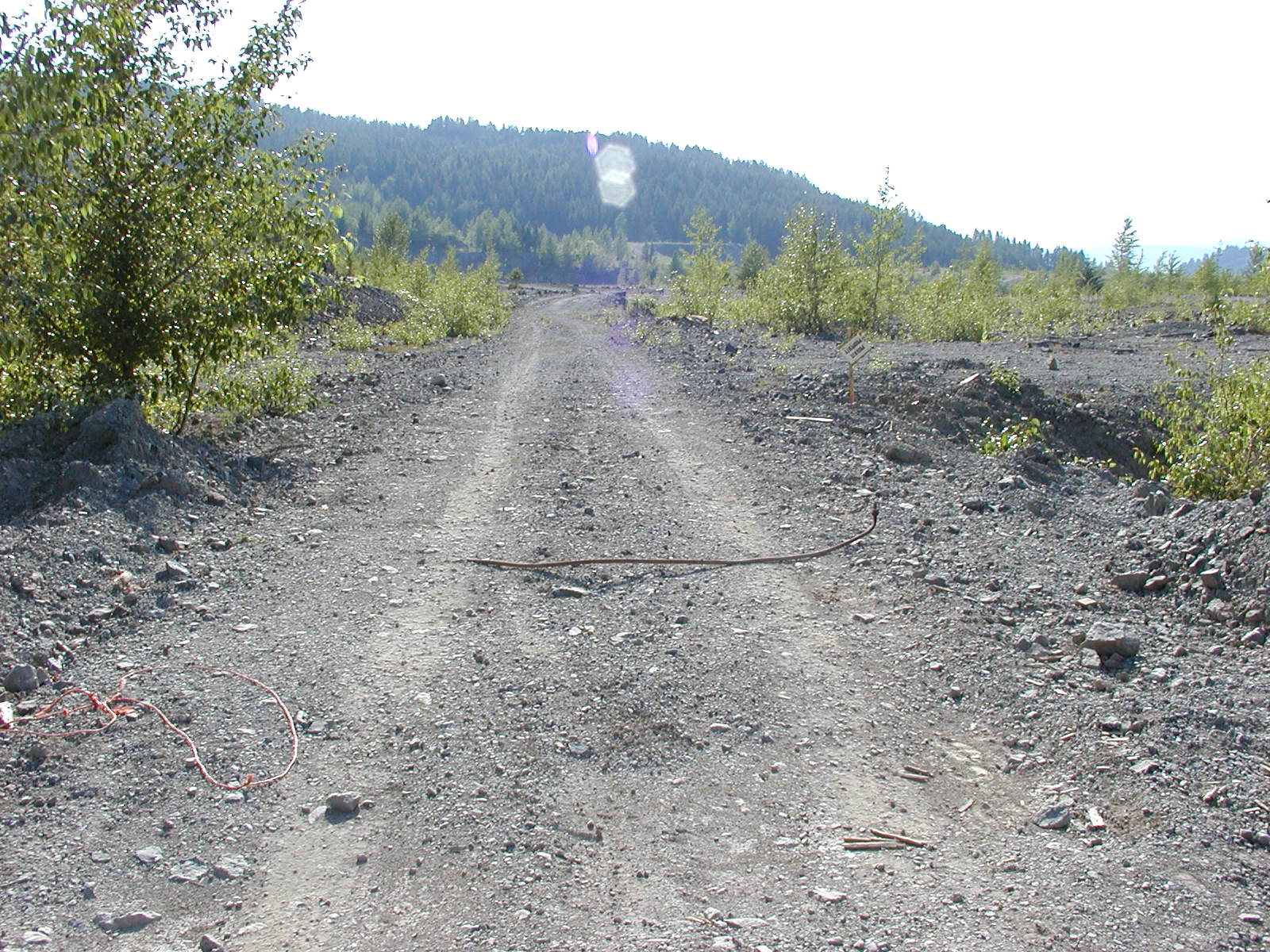
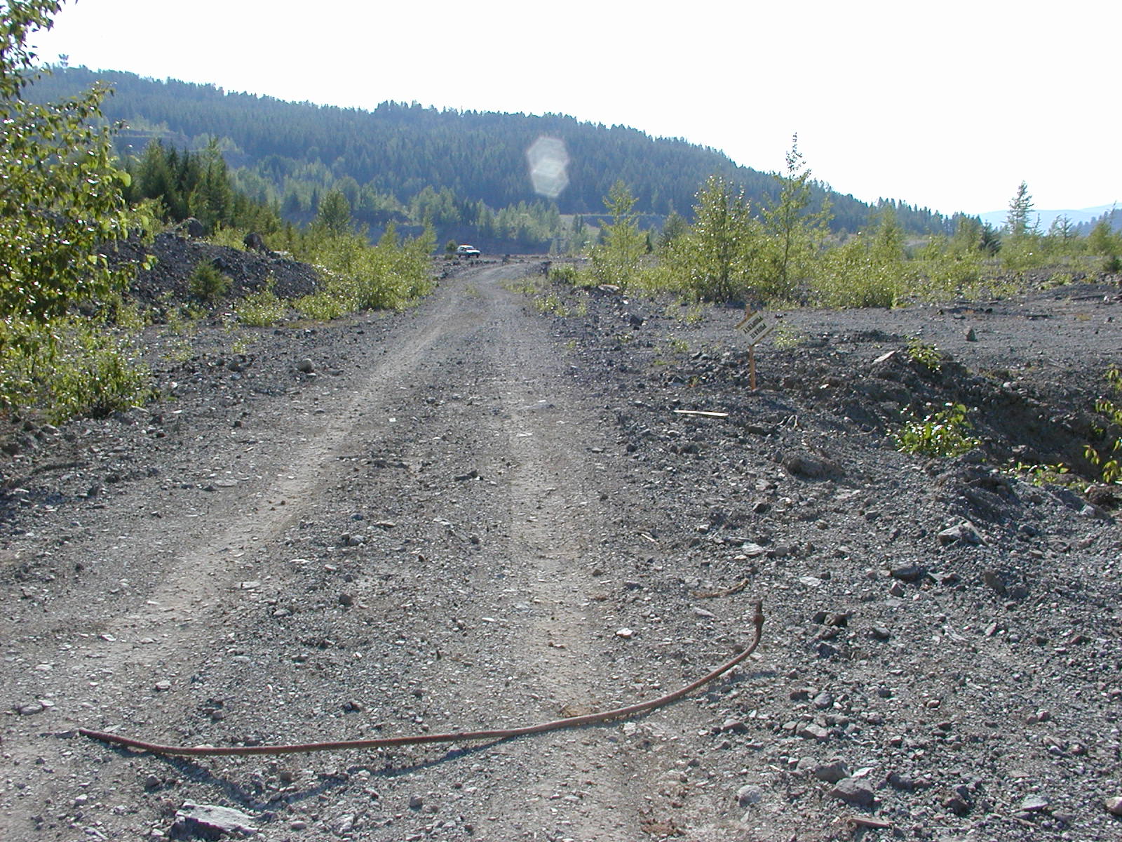
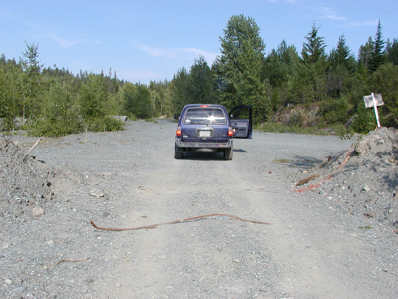
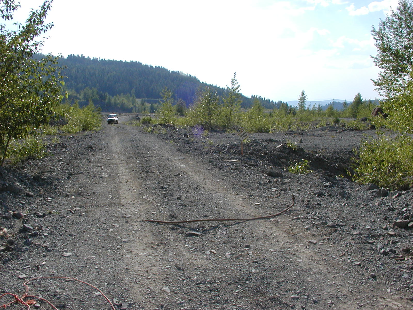
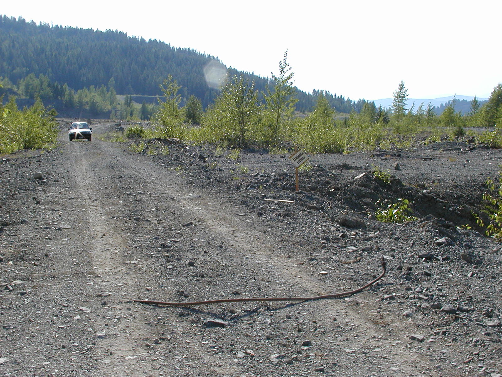
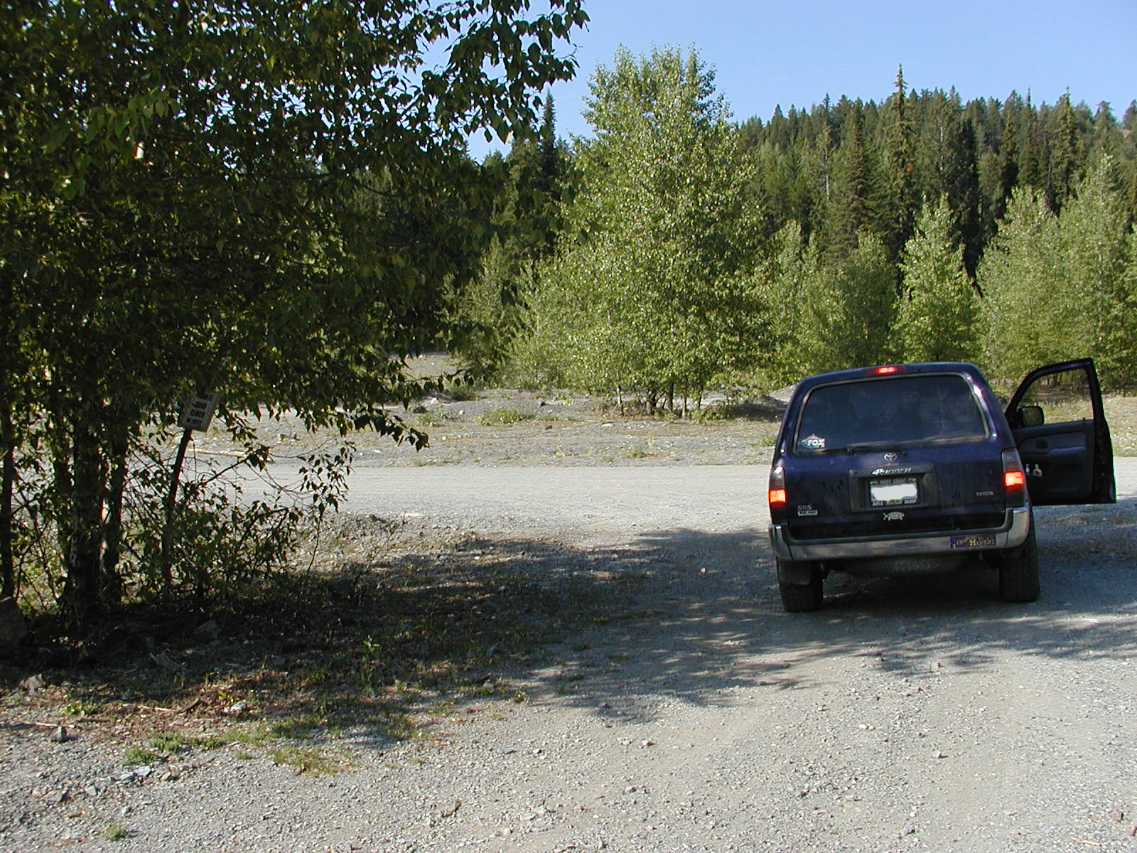
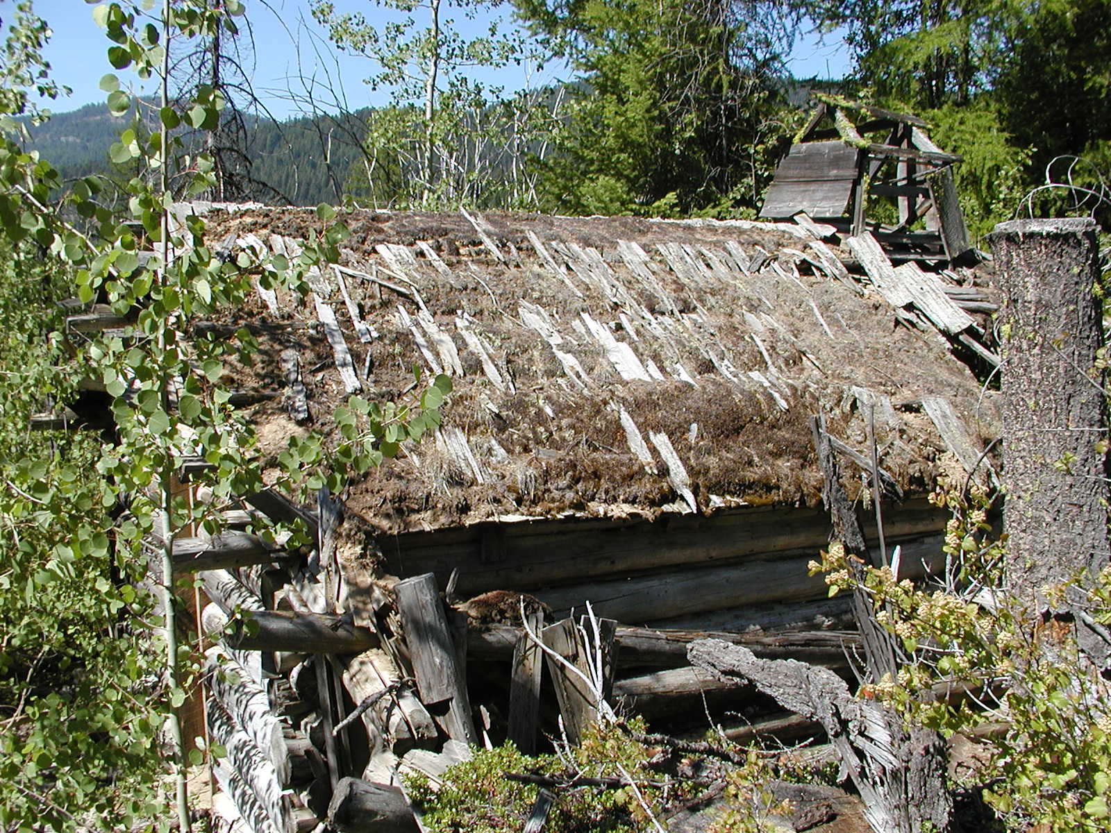
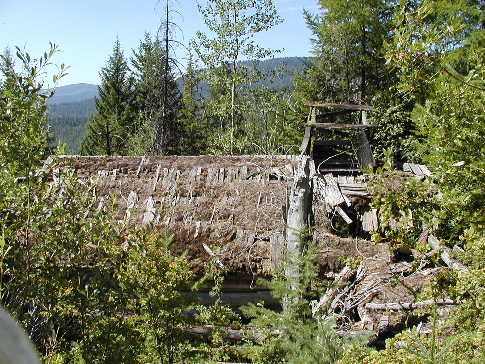
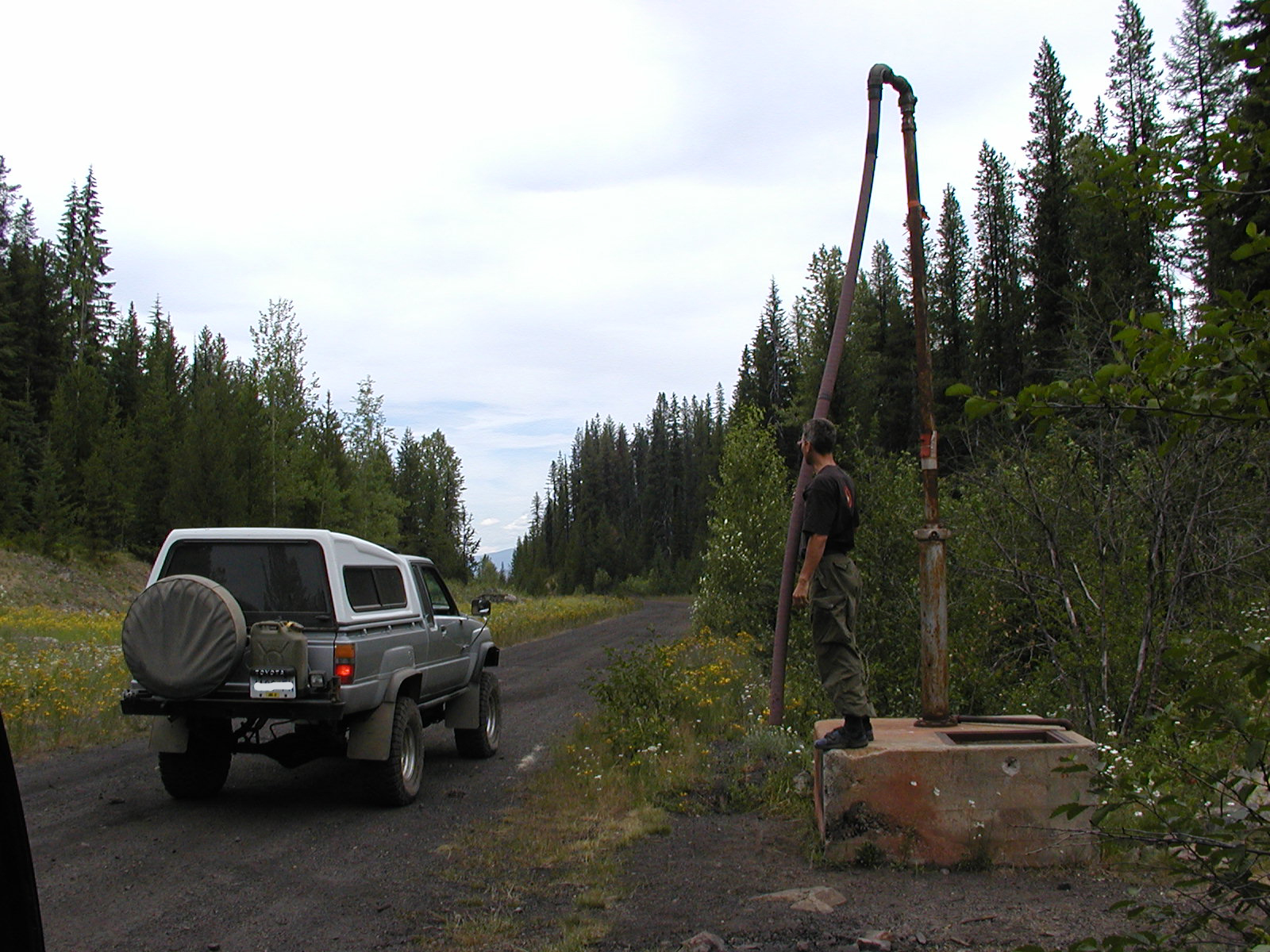
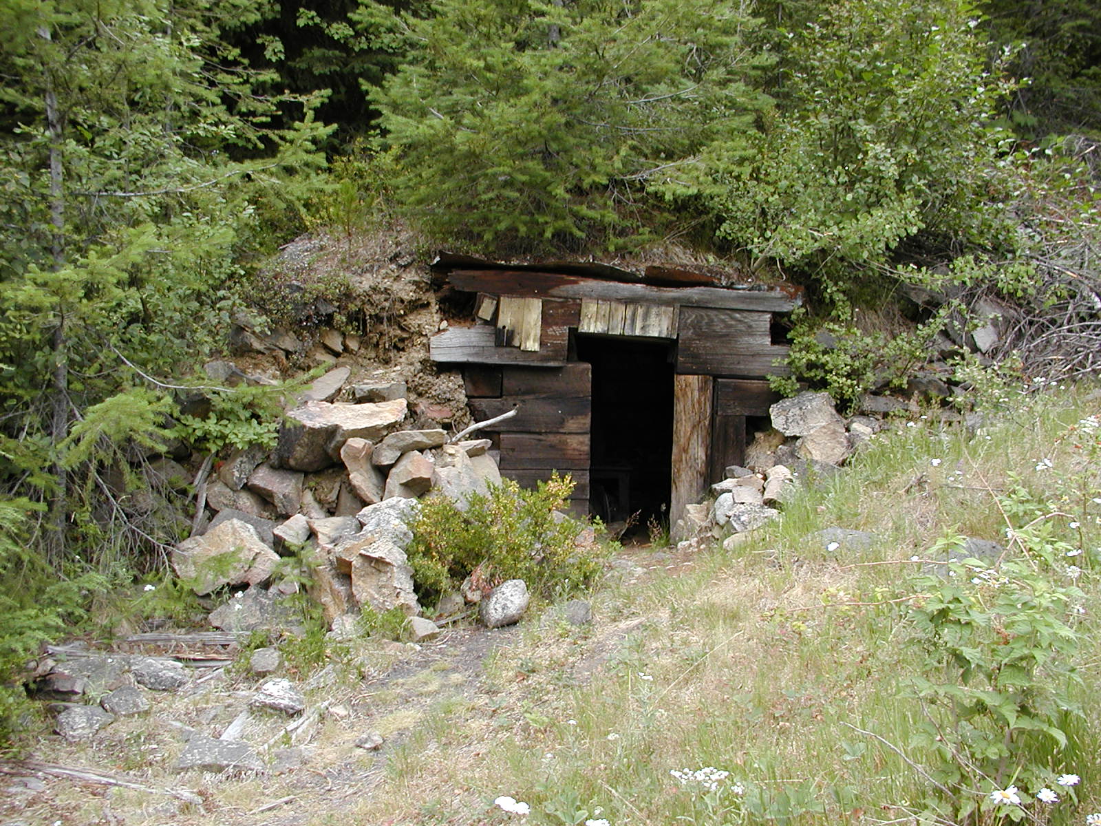
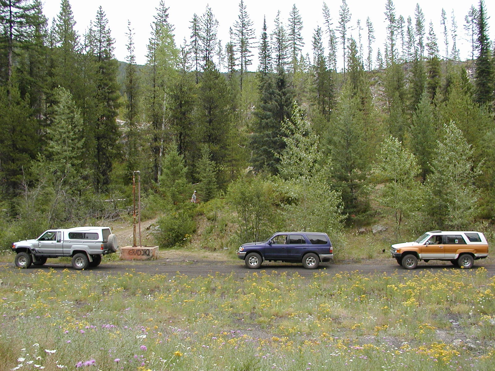
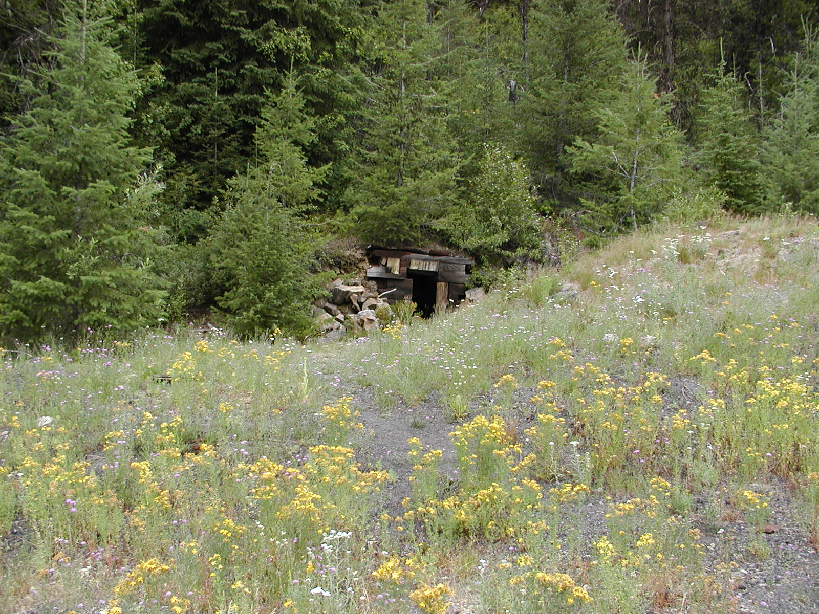
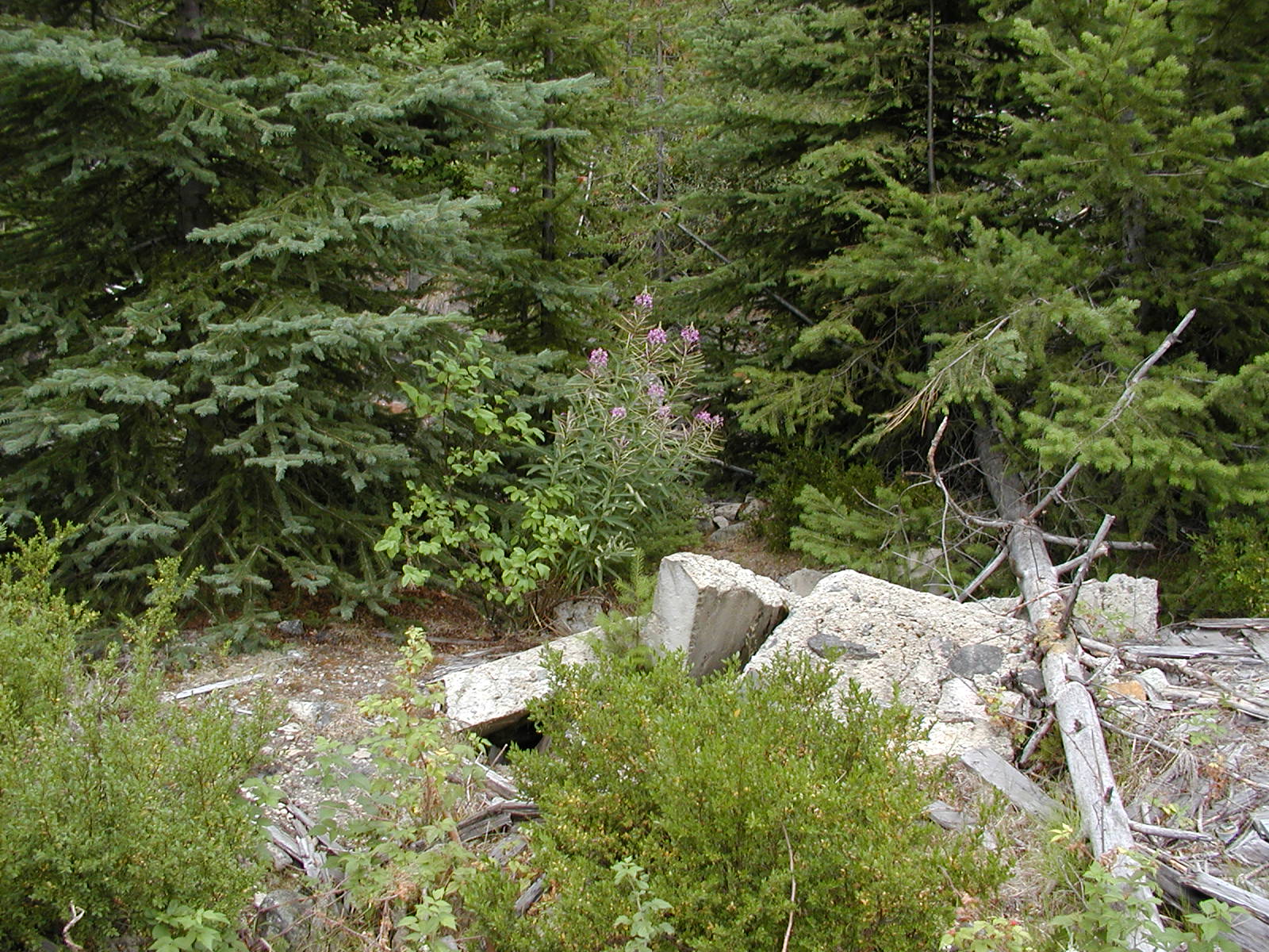
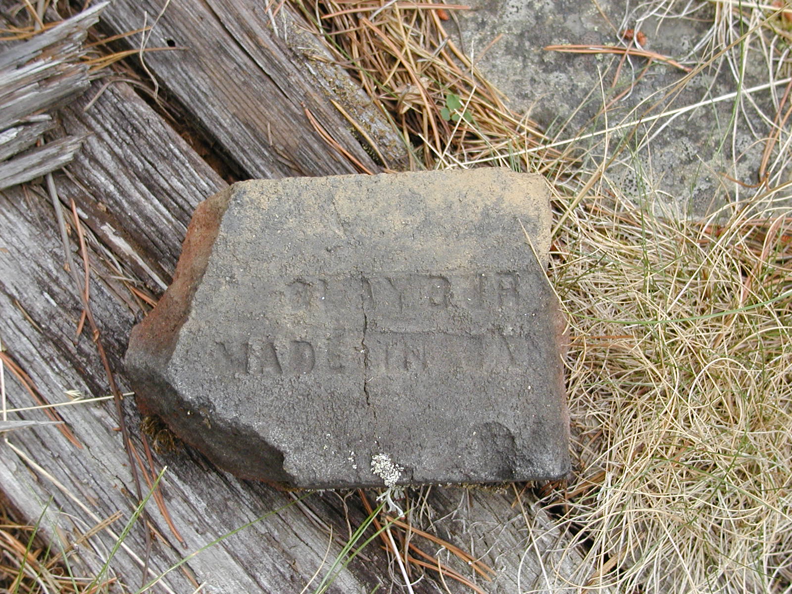
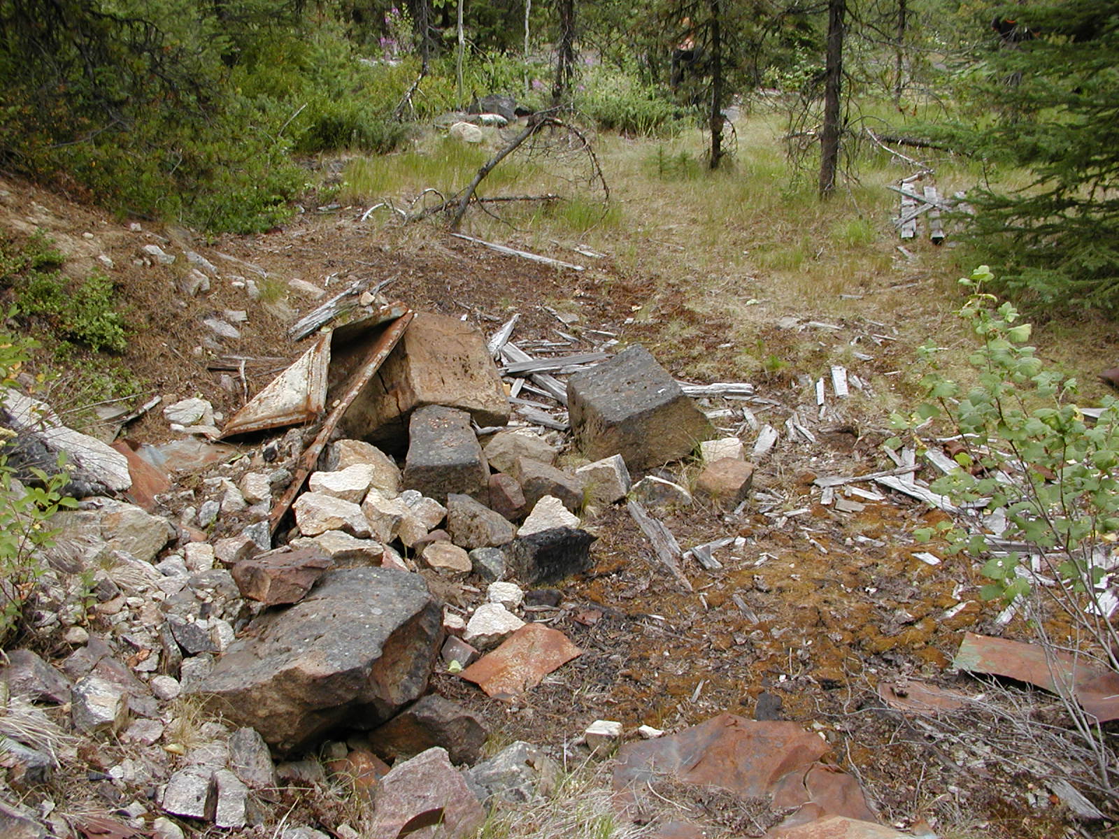
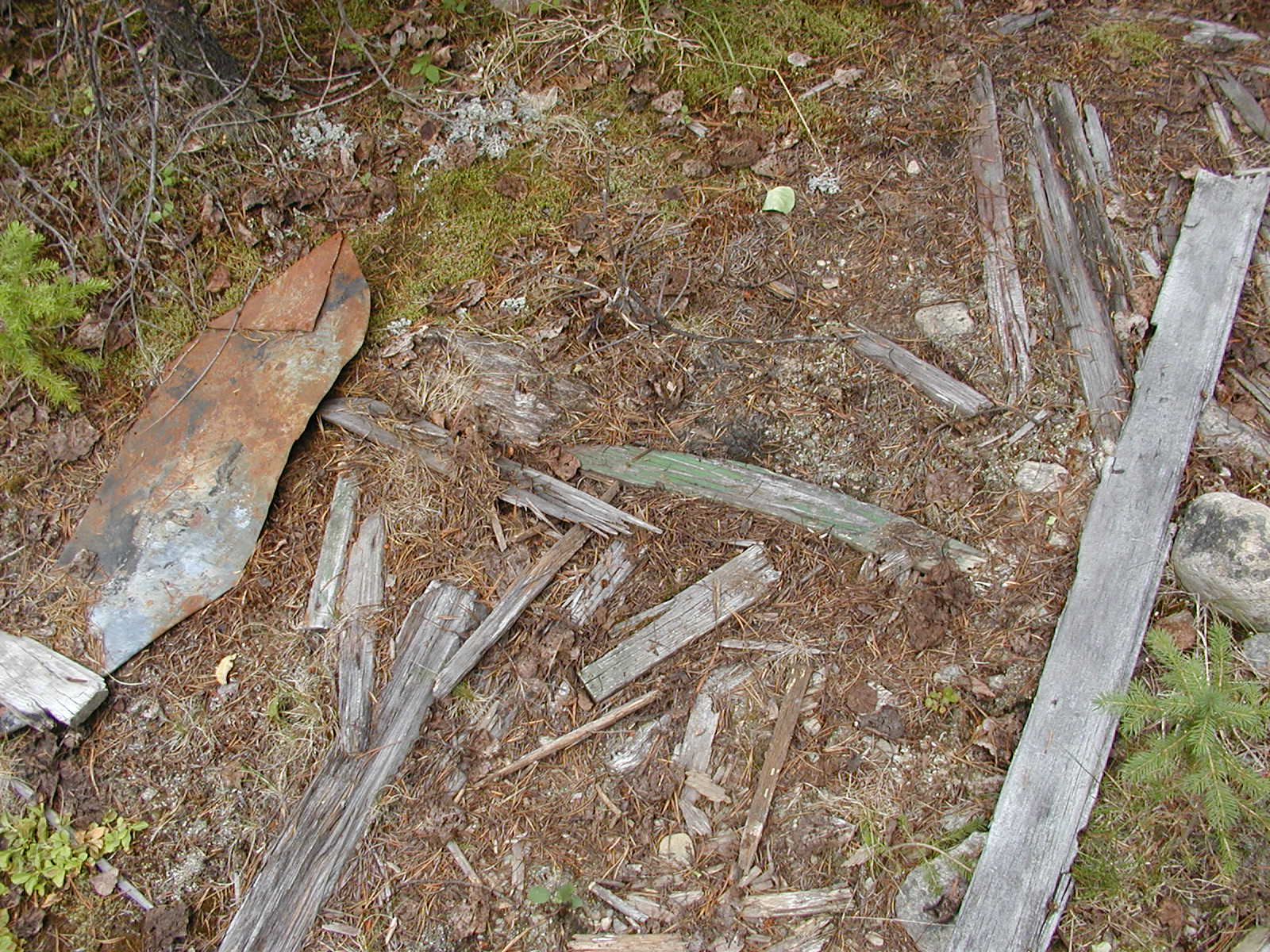
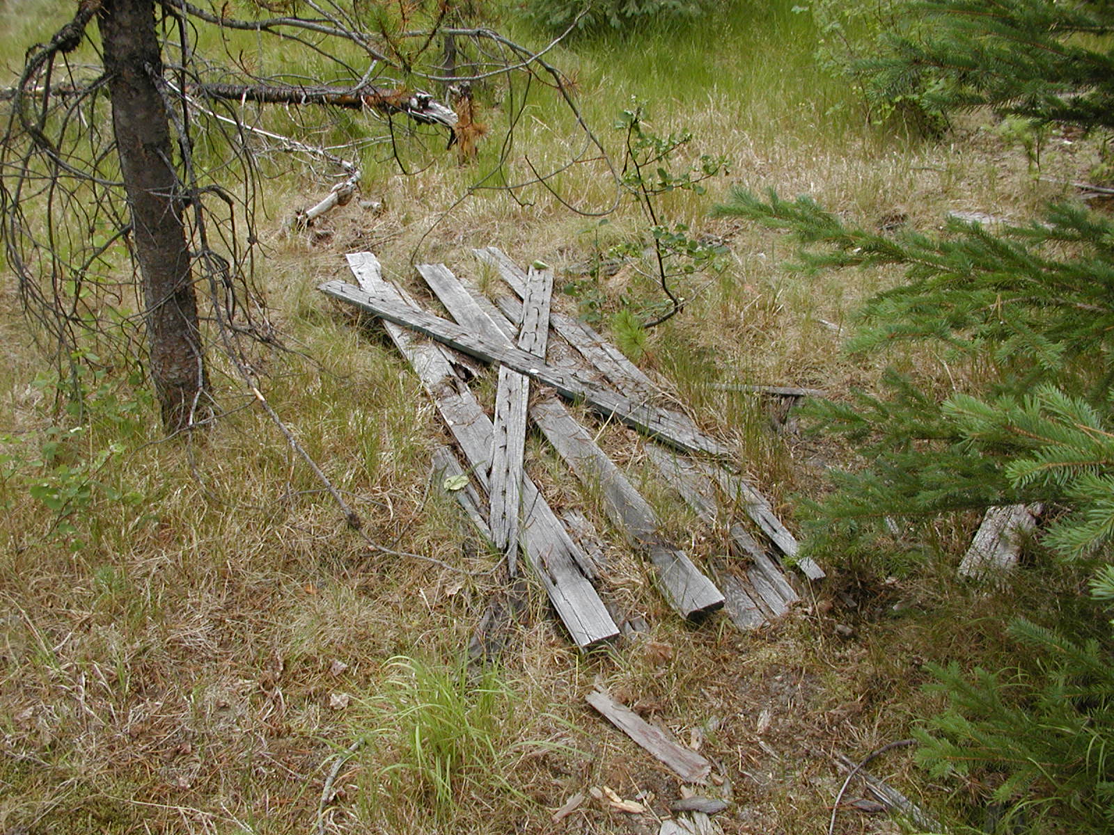
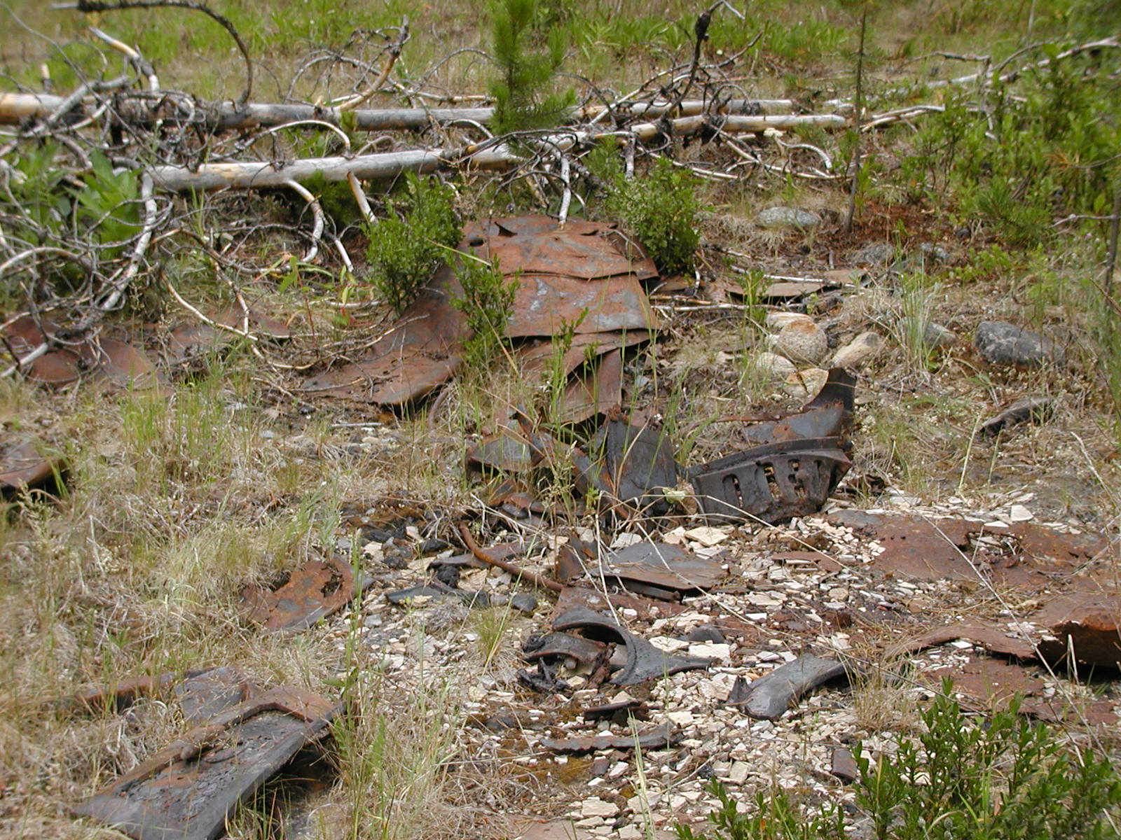
Mine Site on the north side of Anaconda - Greenwood, BC
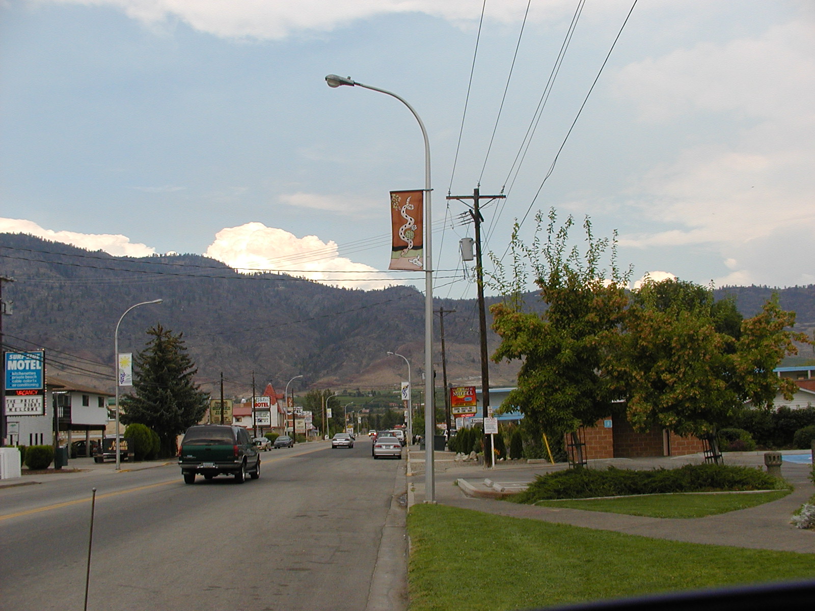
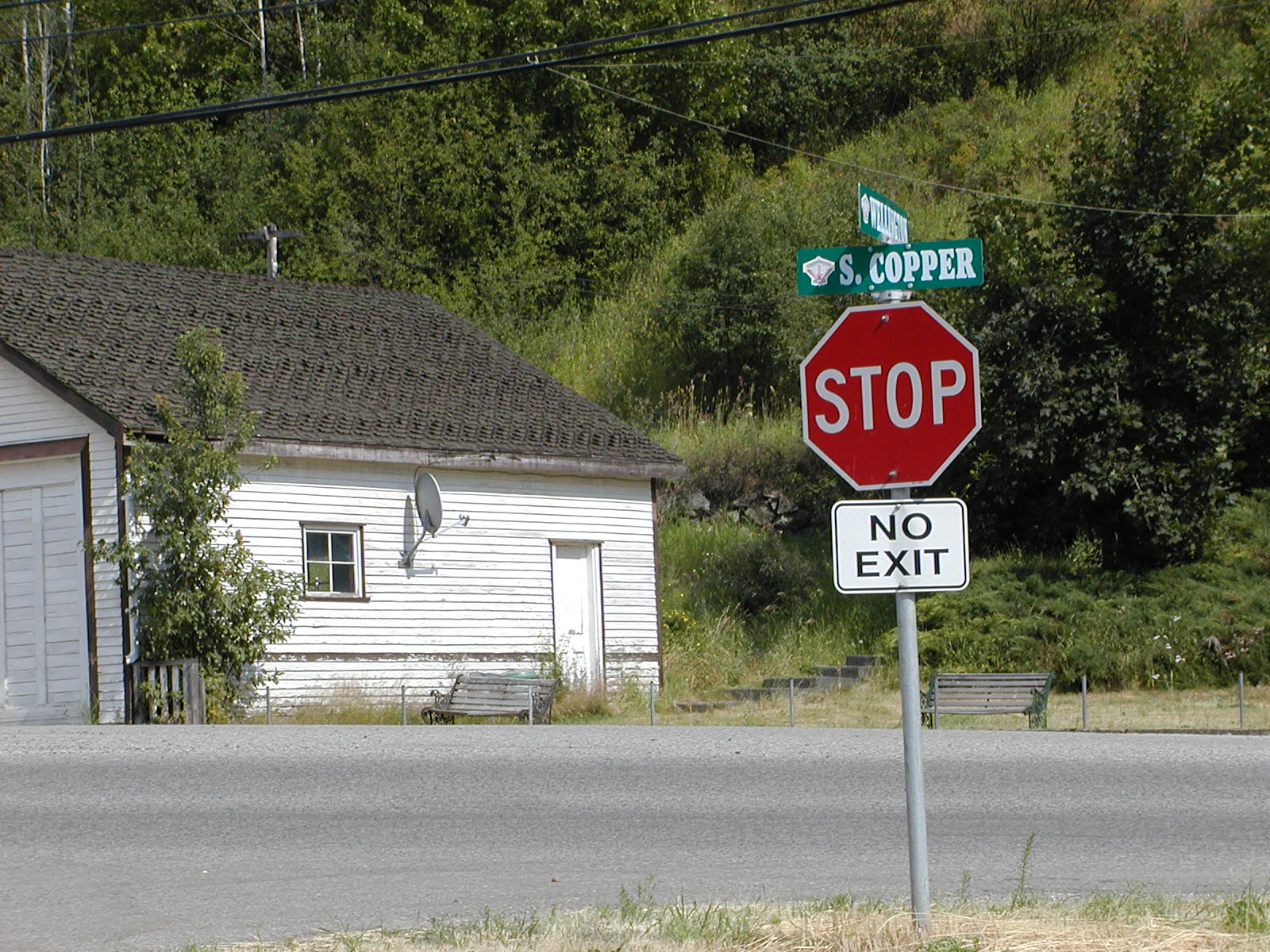
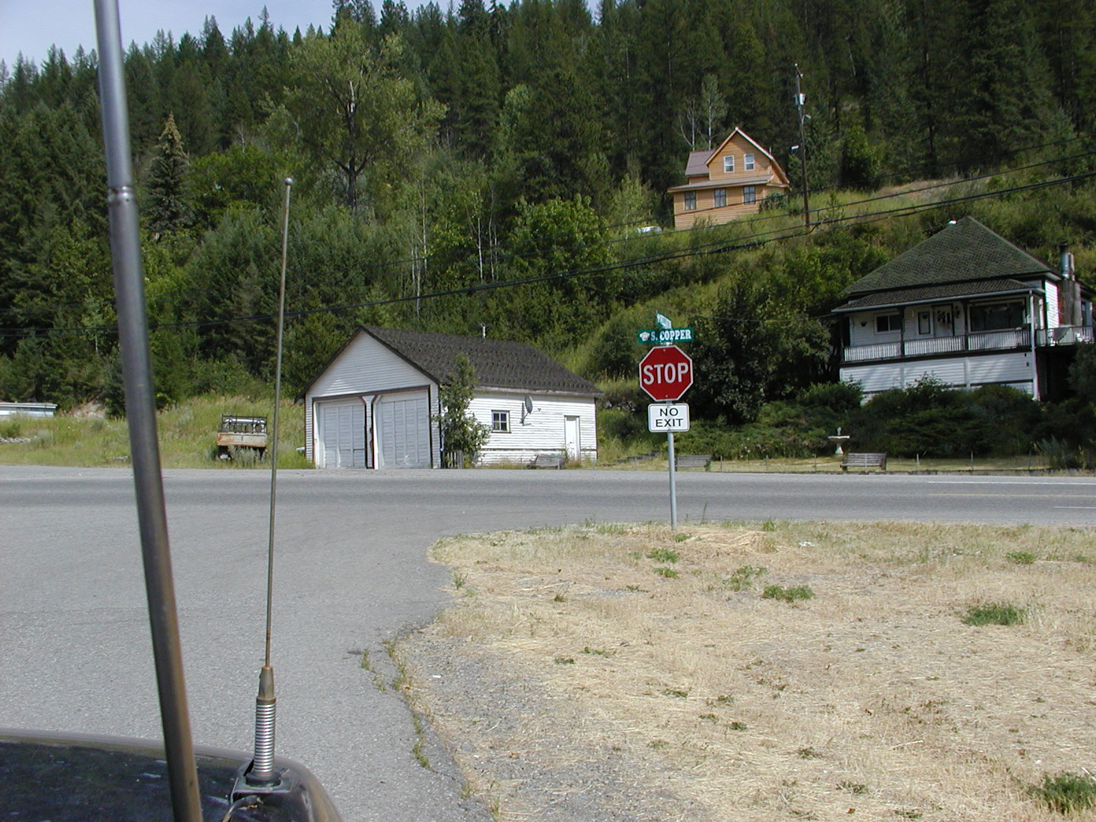
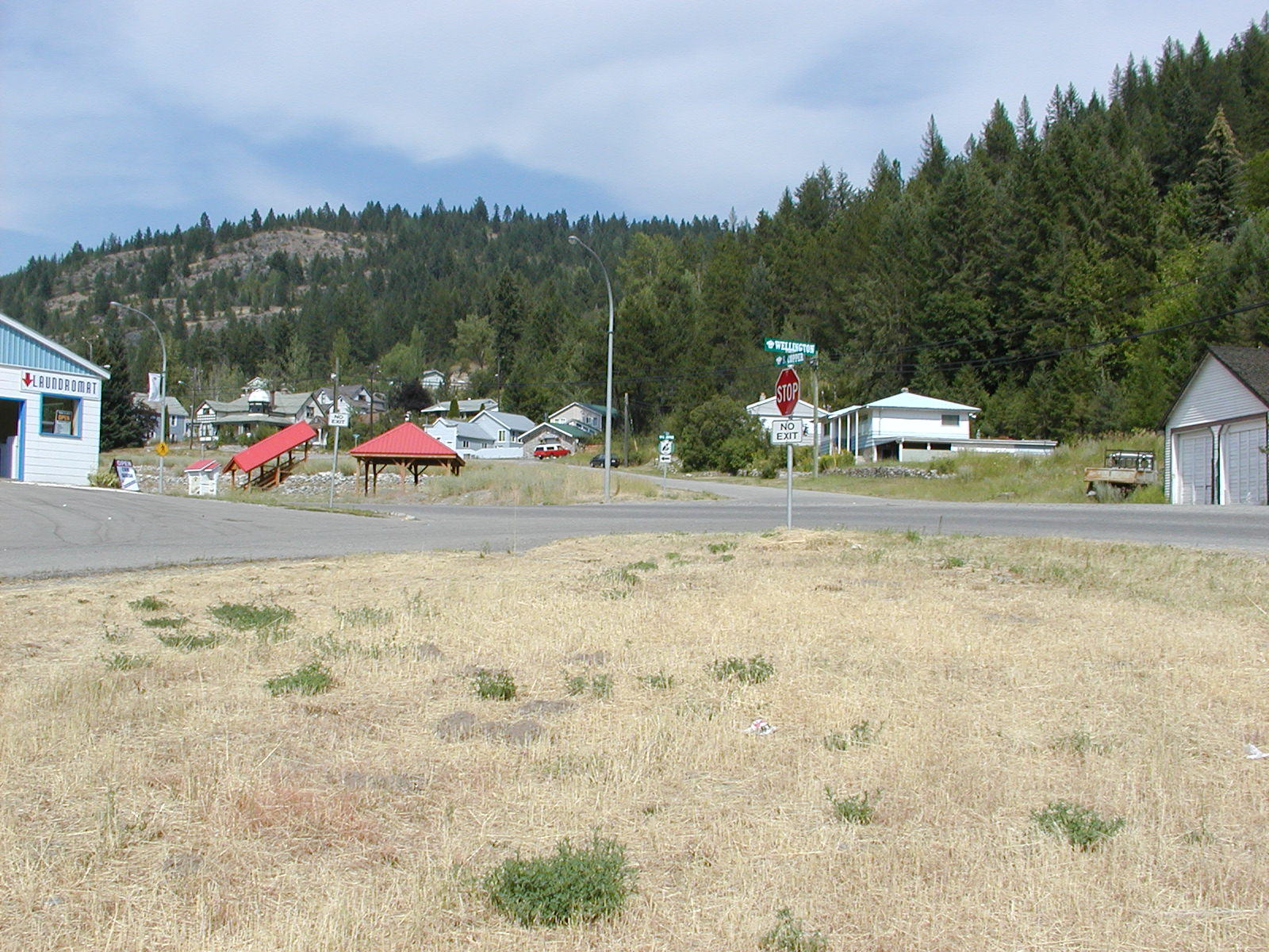
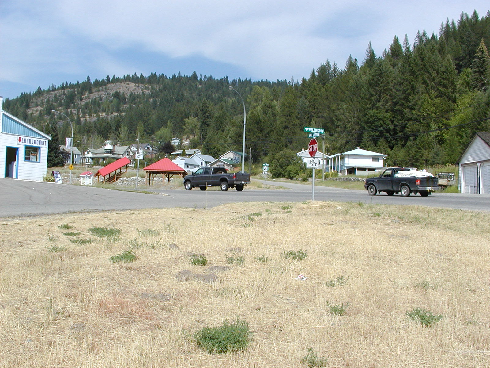
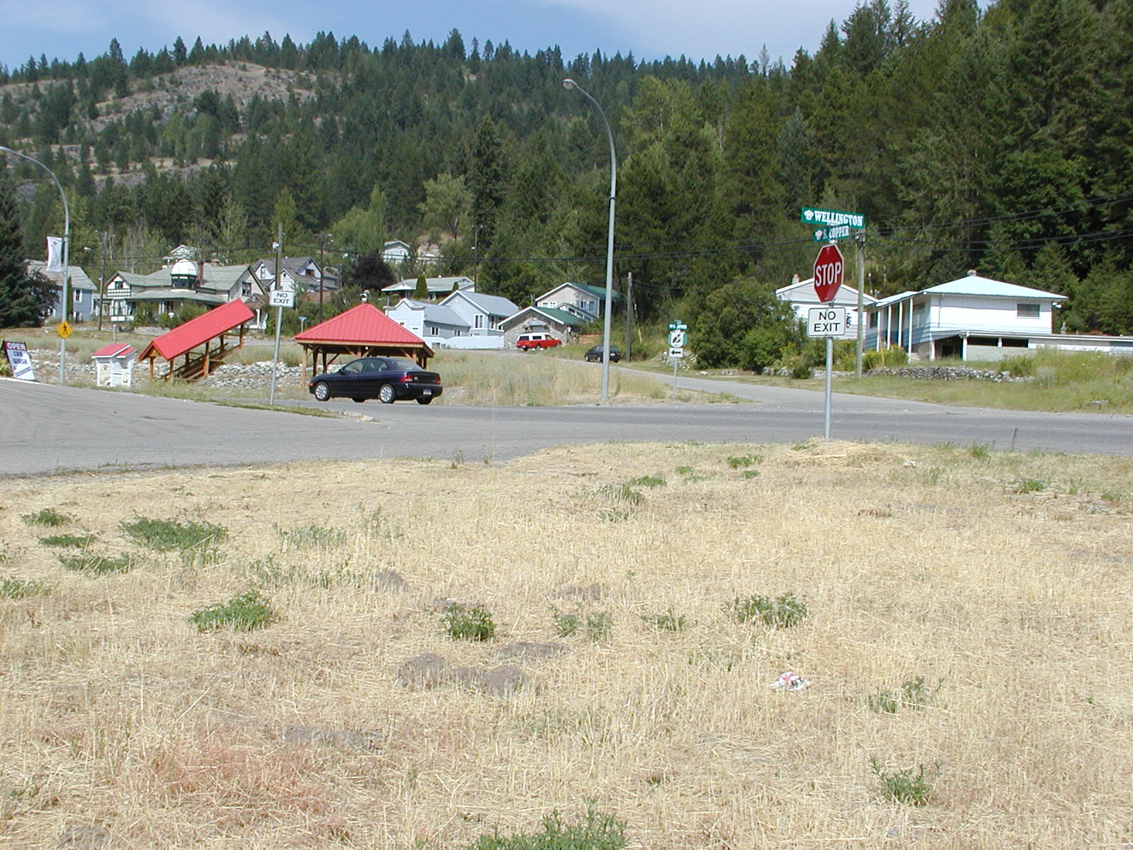
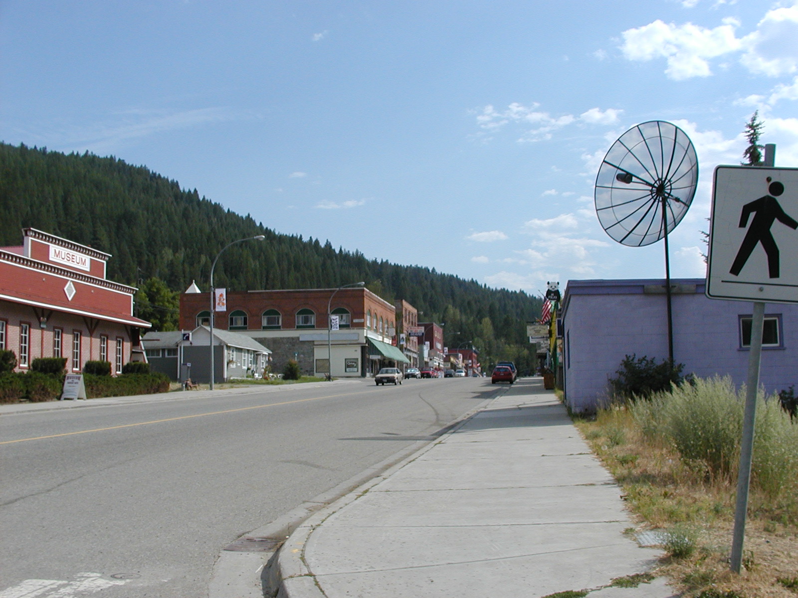
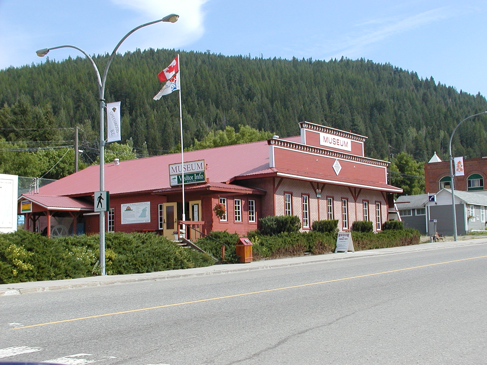
Greenwood City, BC

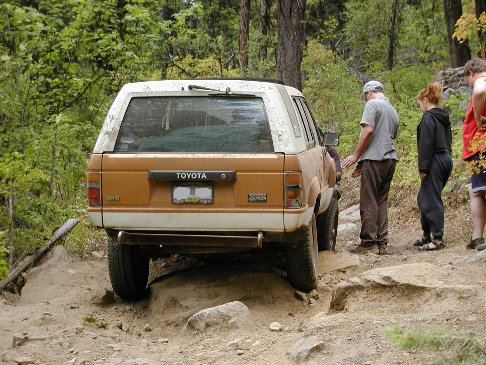
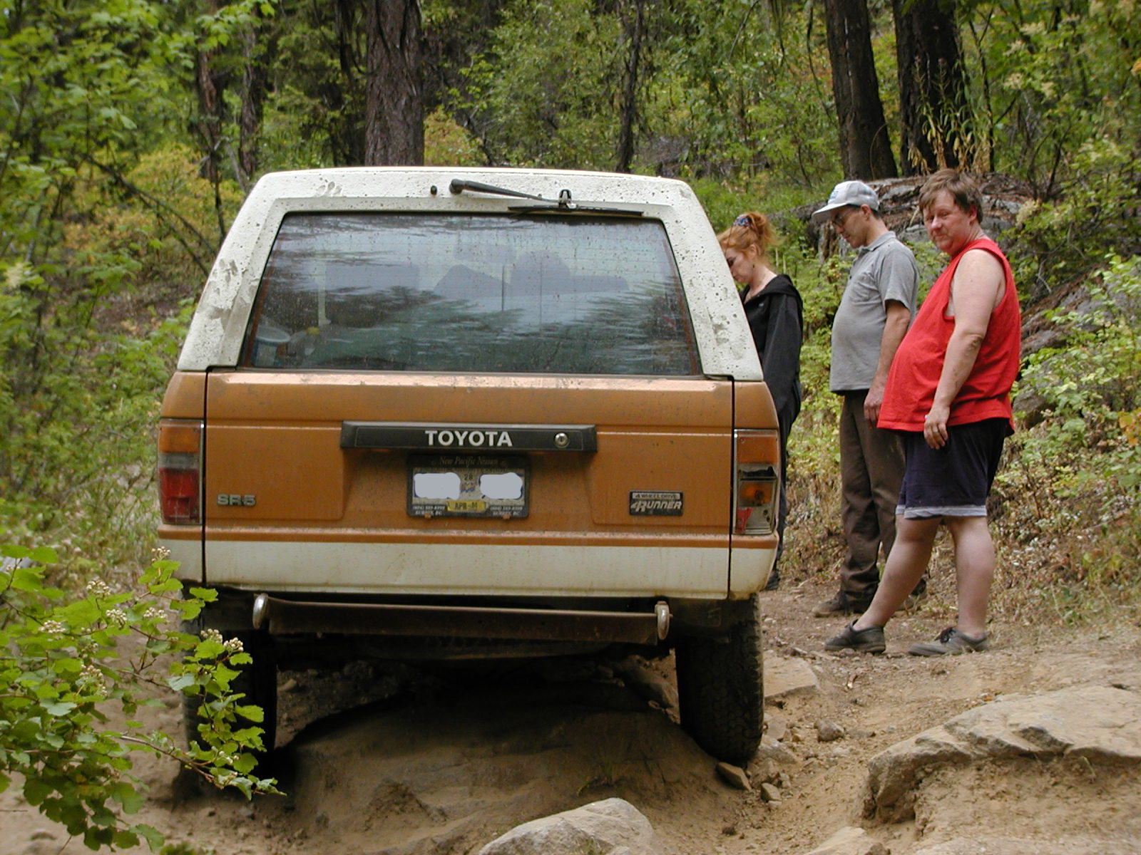
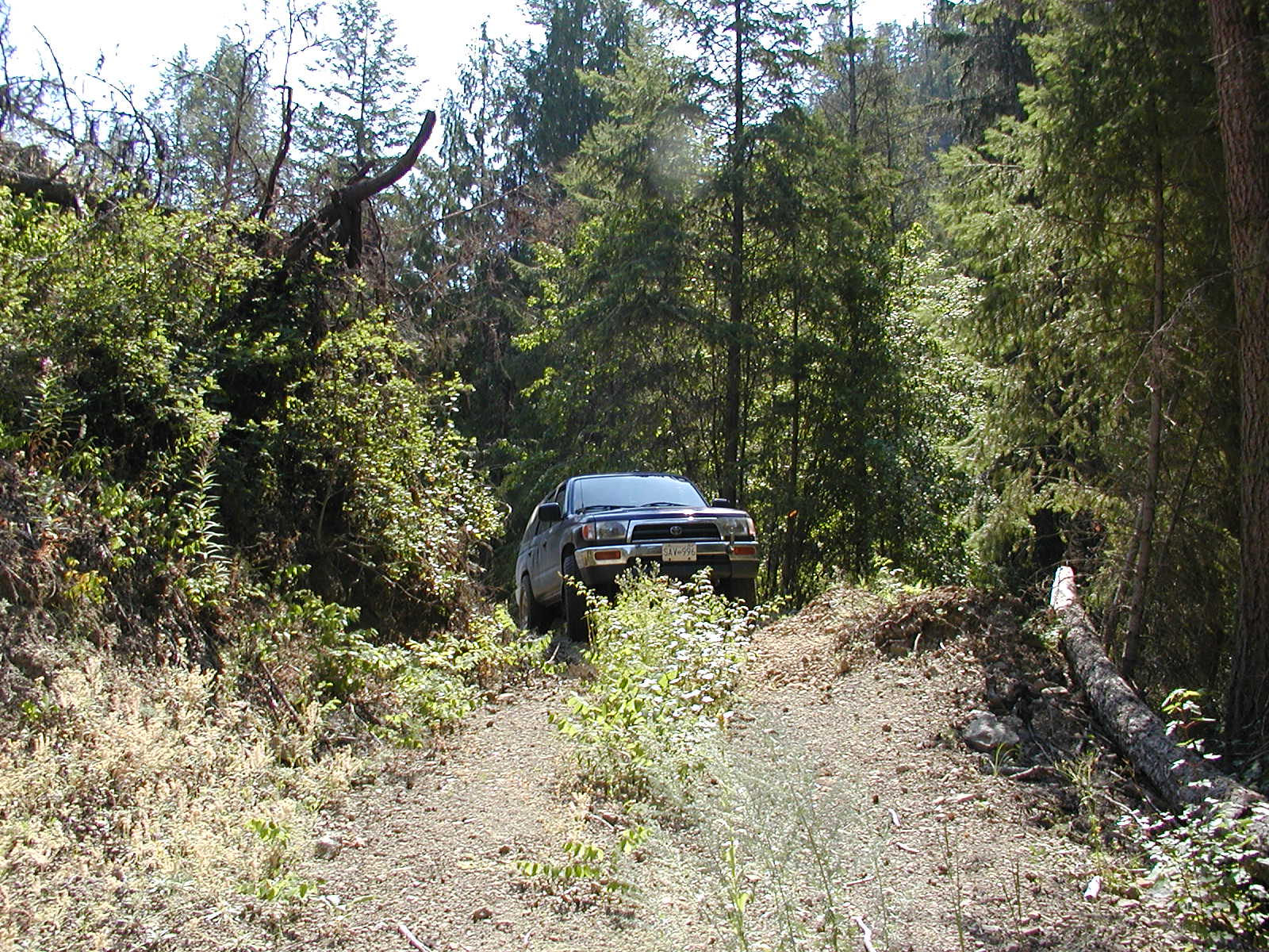
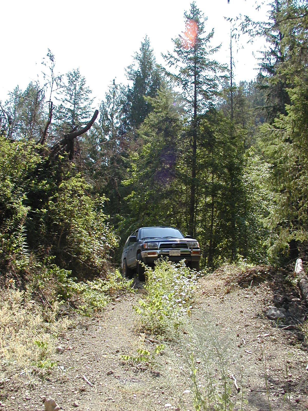
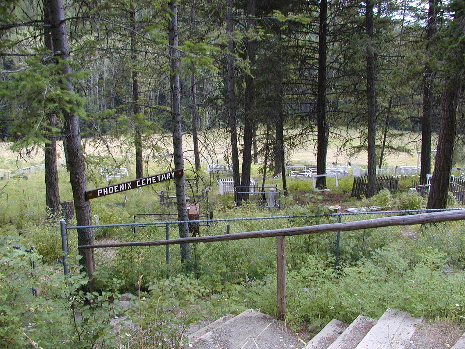
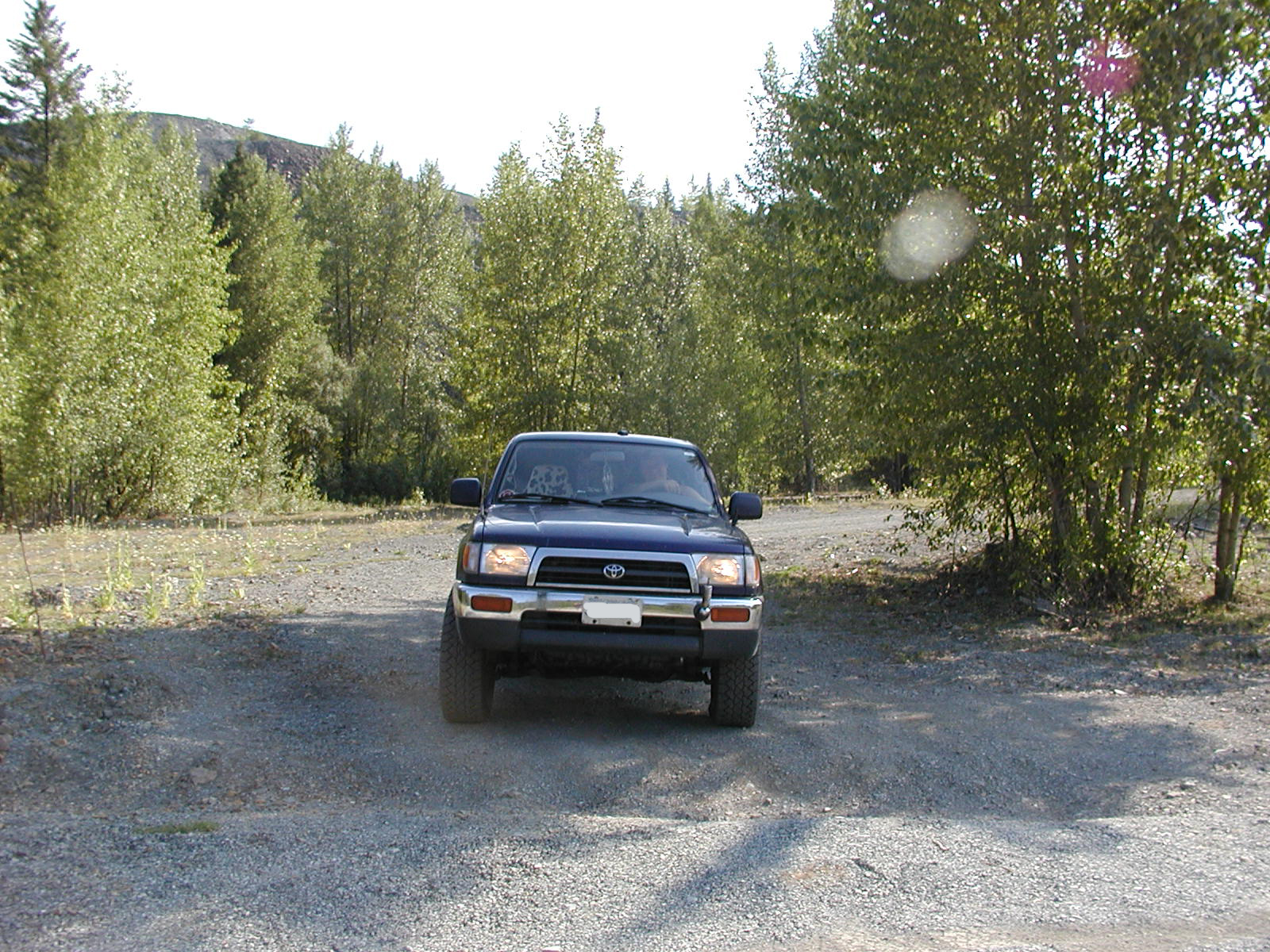
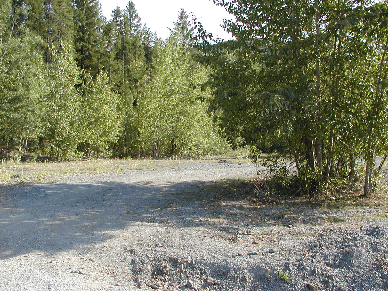
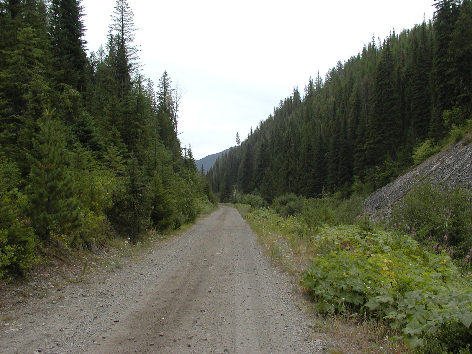
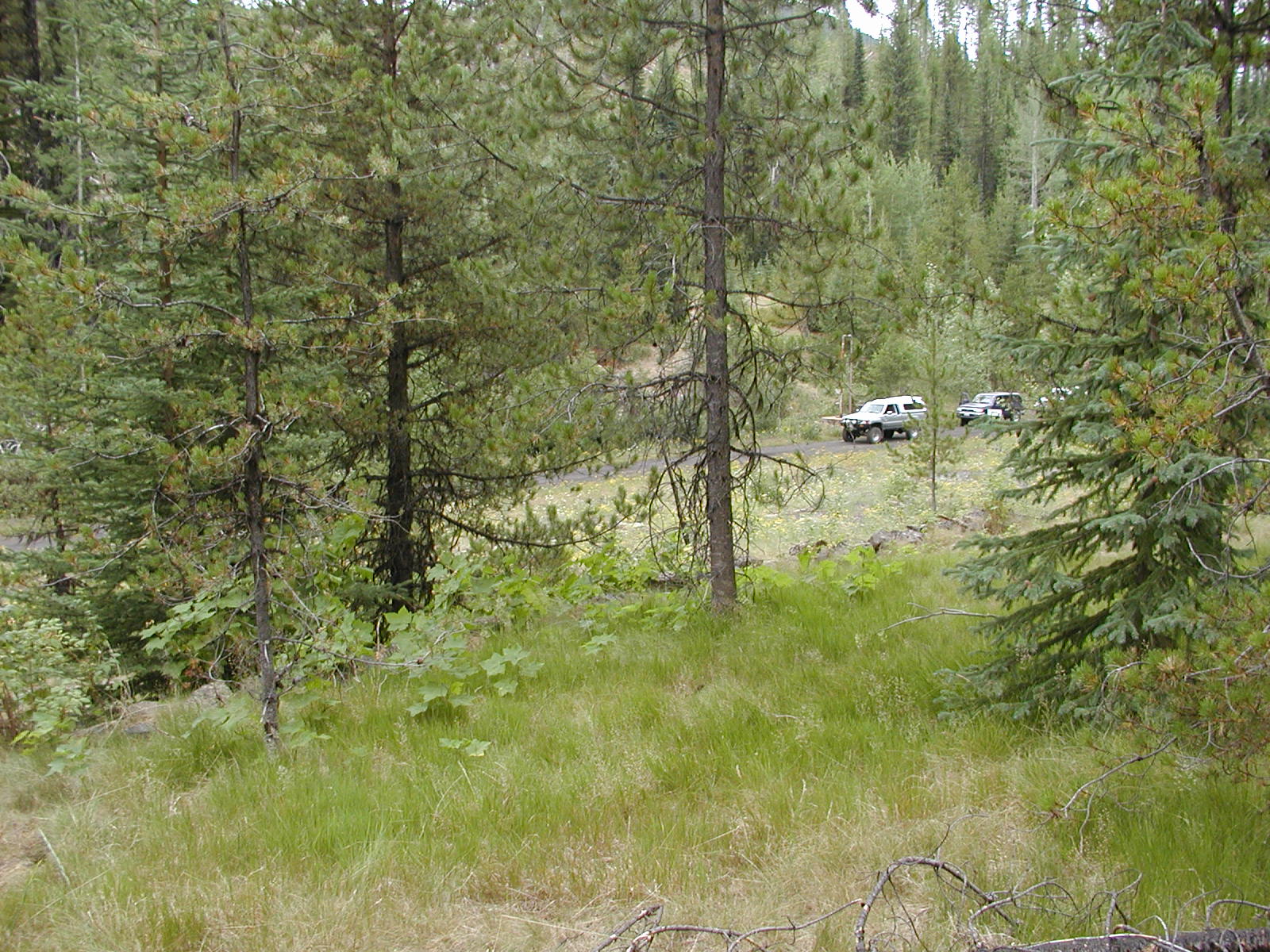
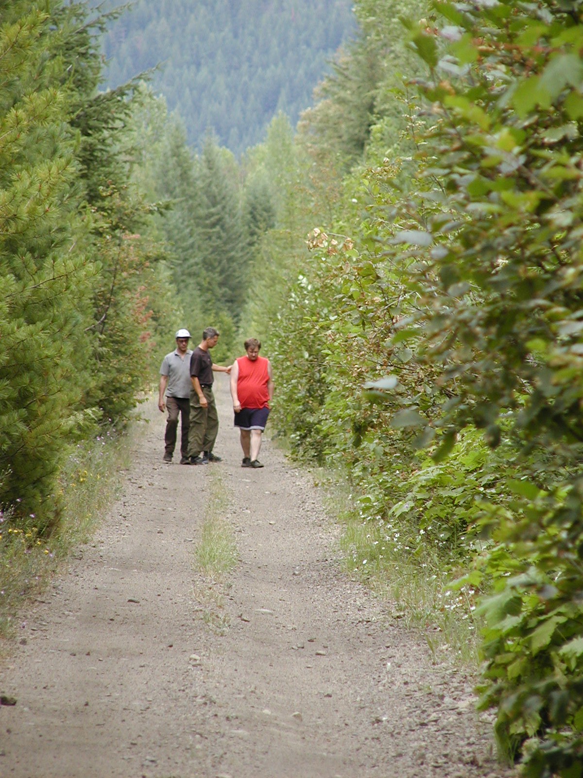
On the old Phoenix road from Greenwood.
![]()

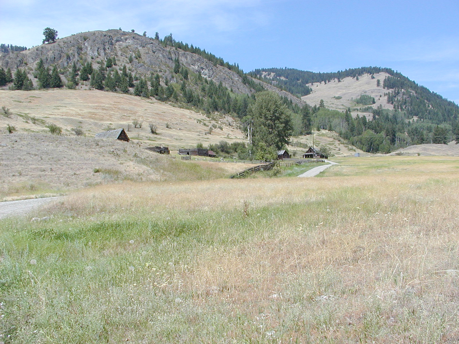
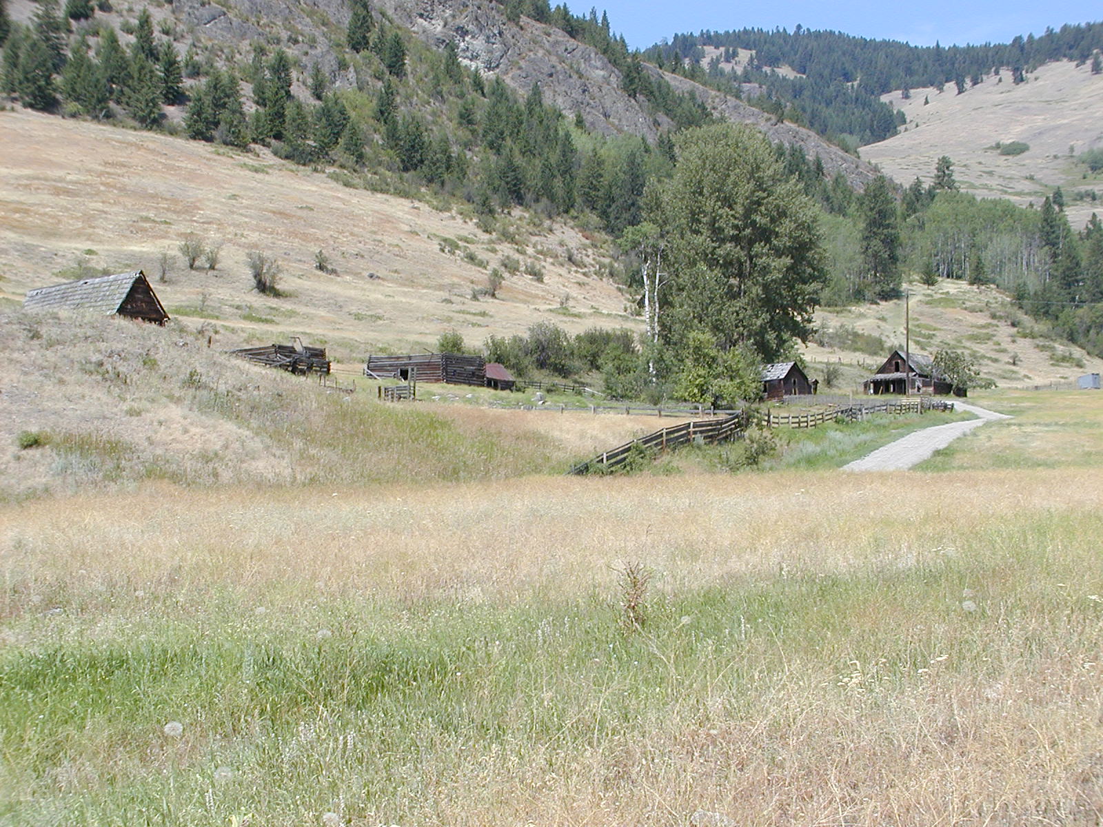
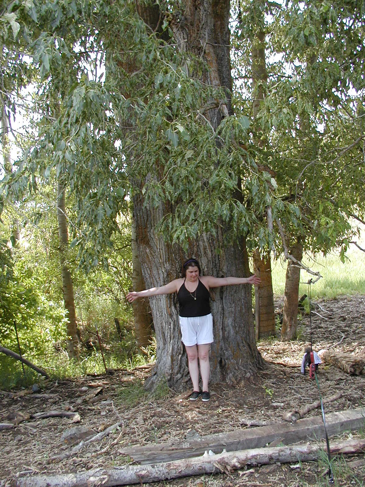
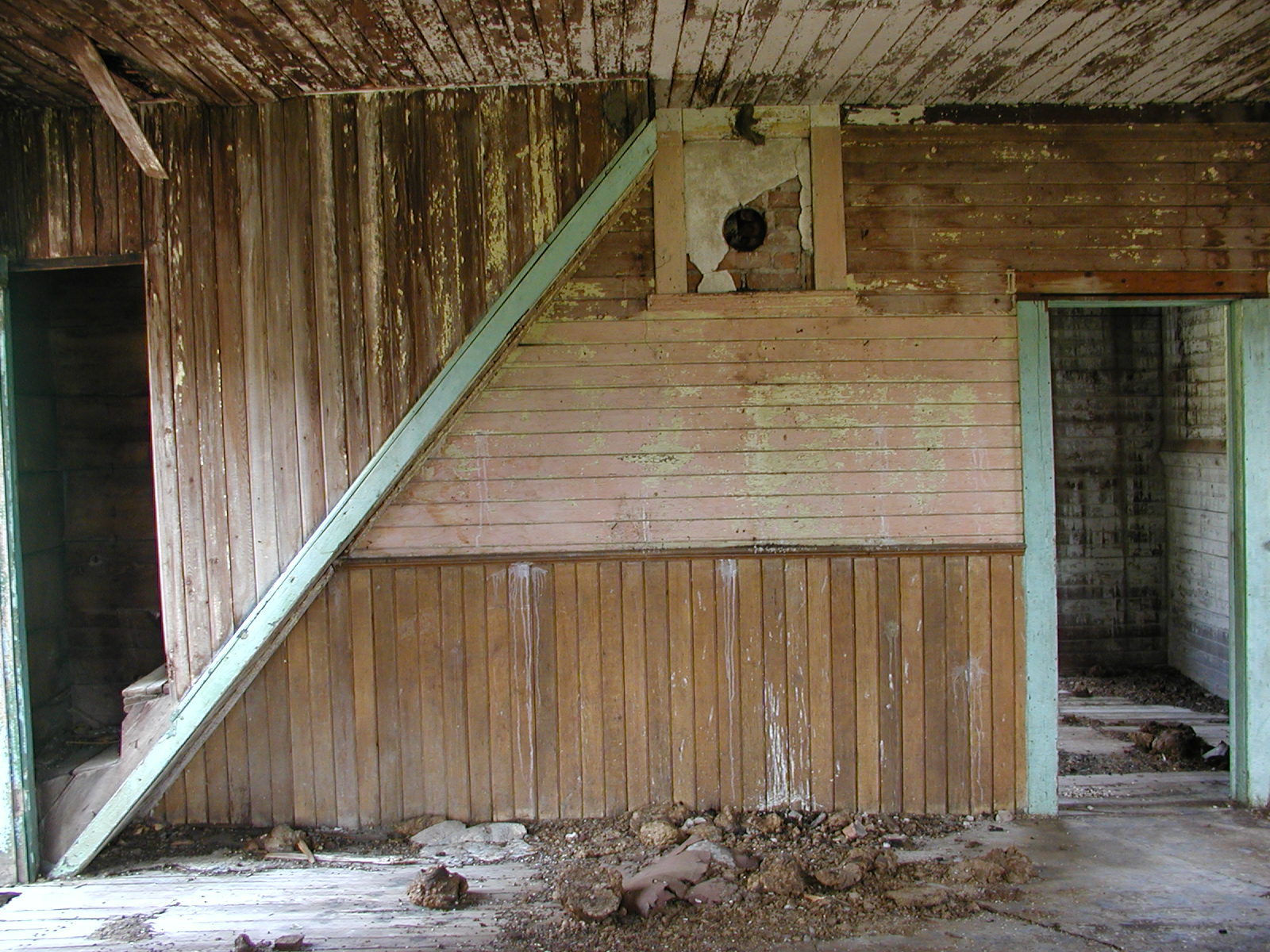
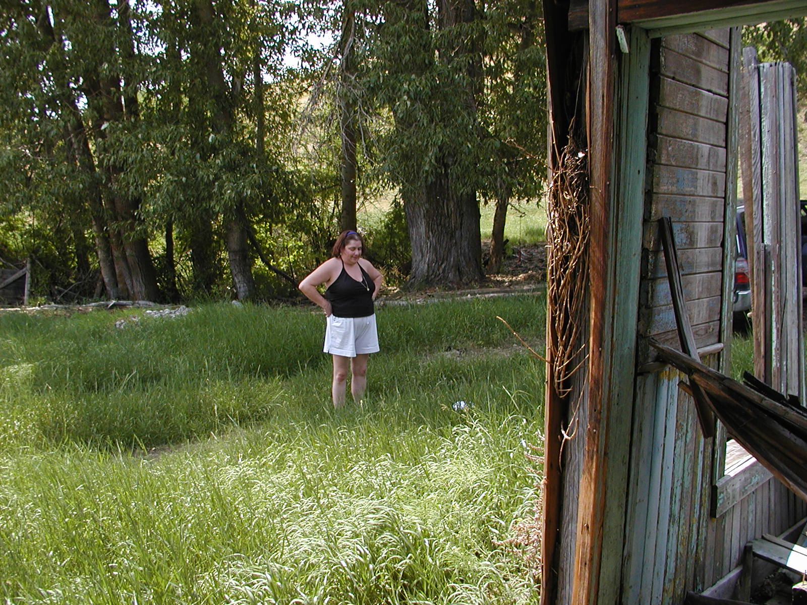
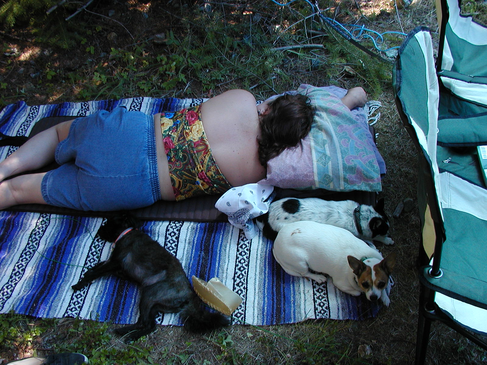
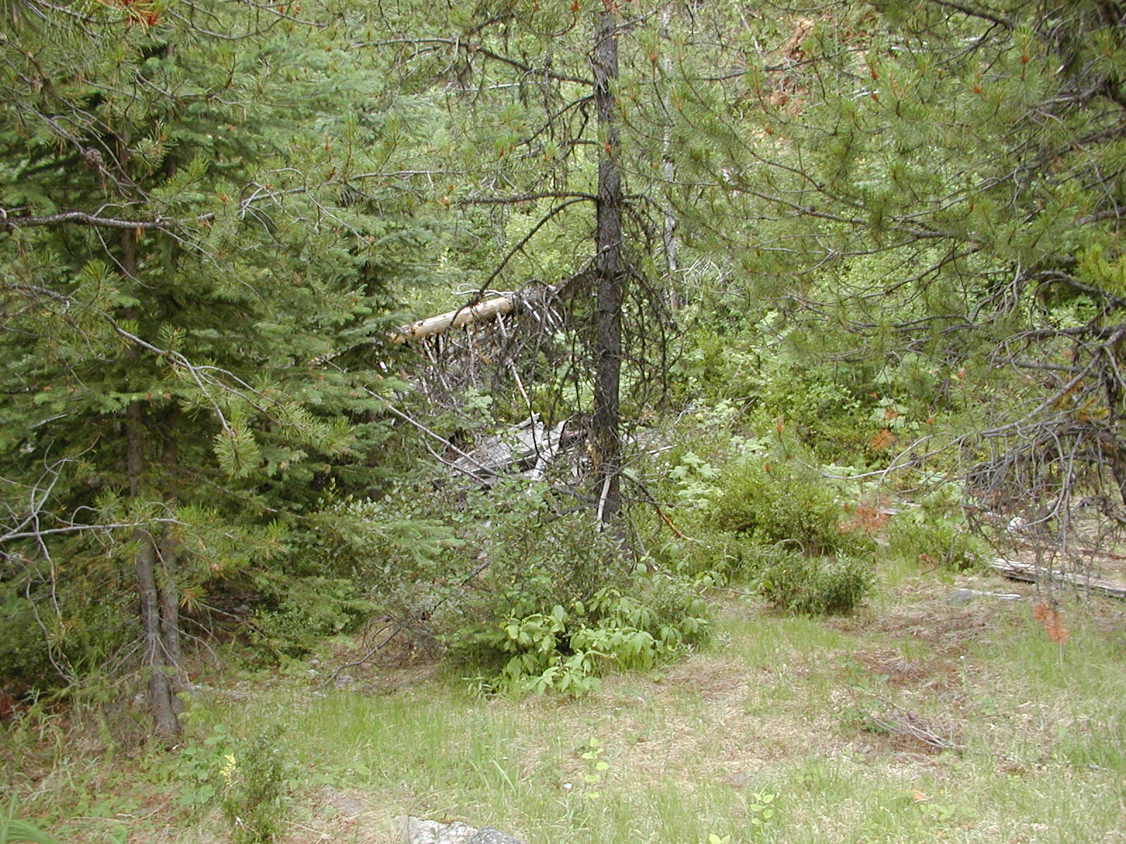
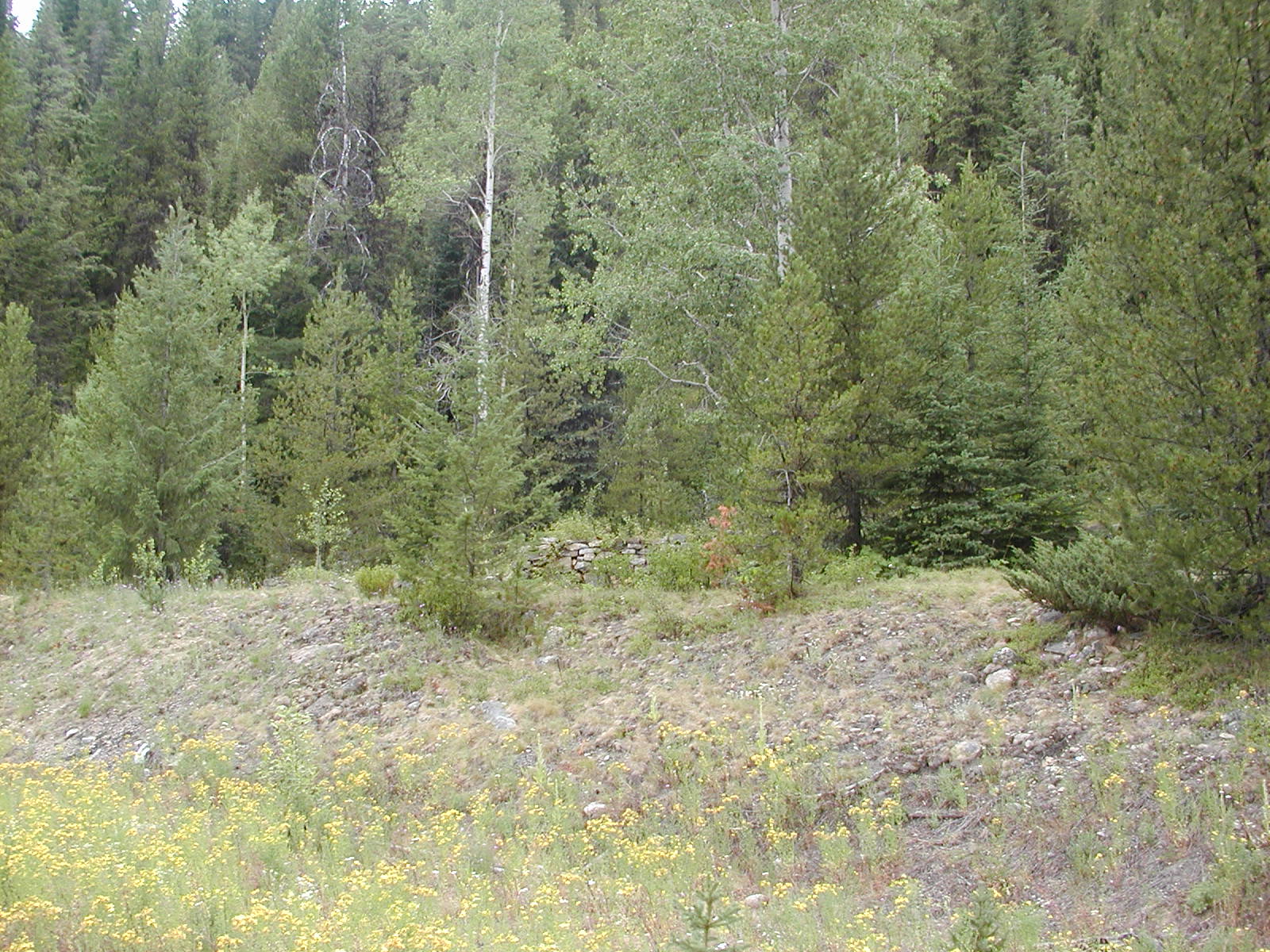
Camping out in the 38'C temperatures near the City of Paris Mine and townsite/church.


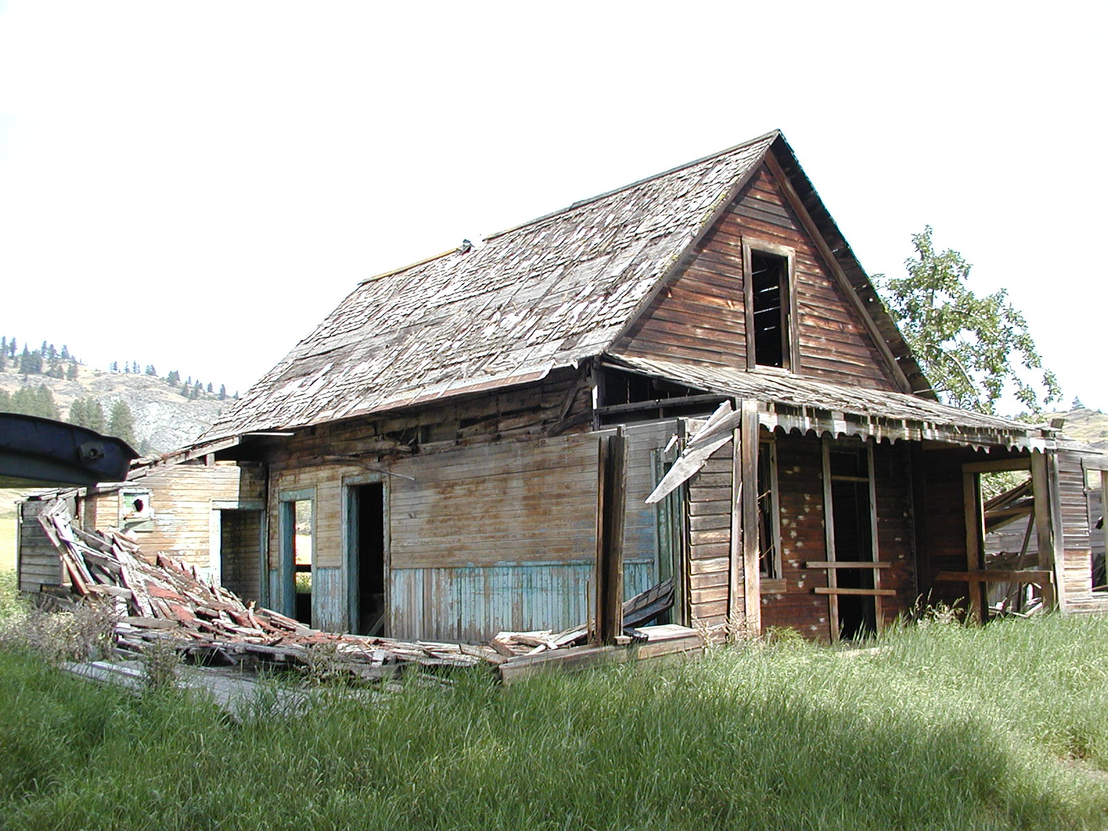
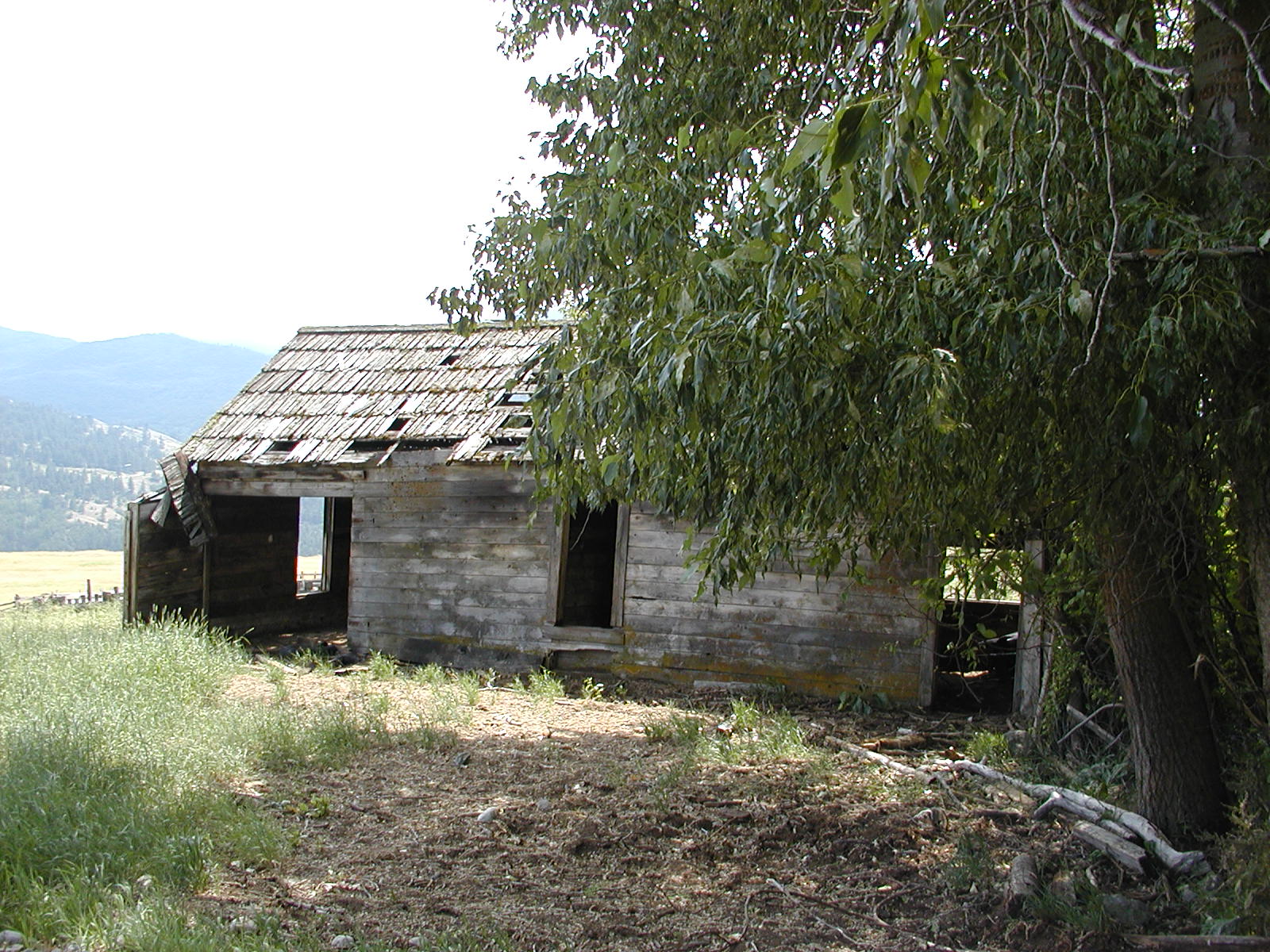
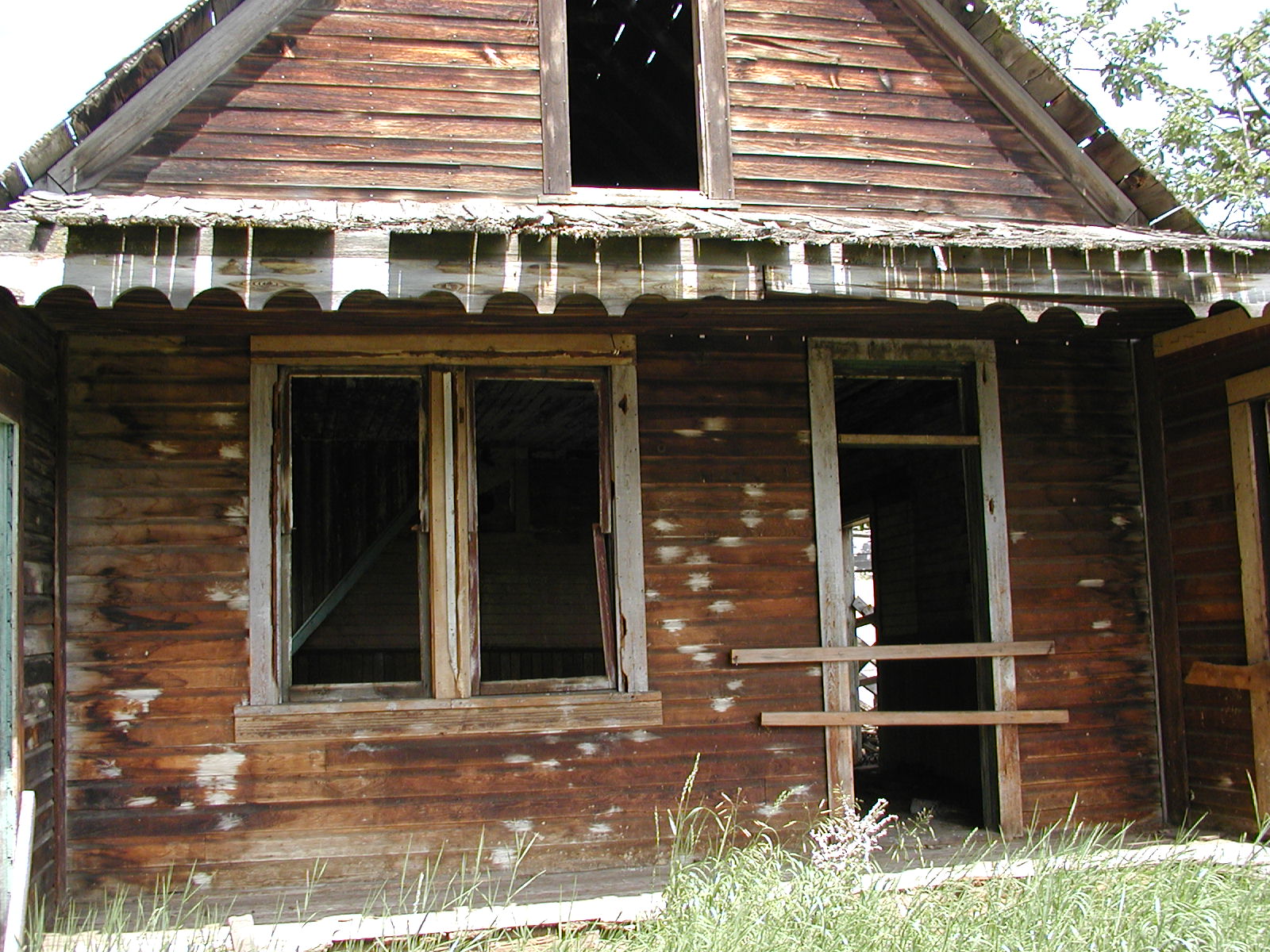
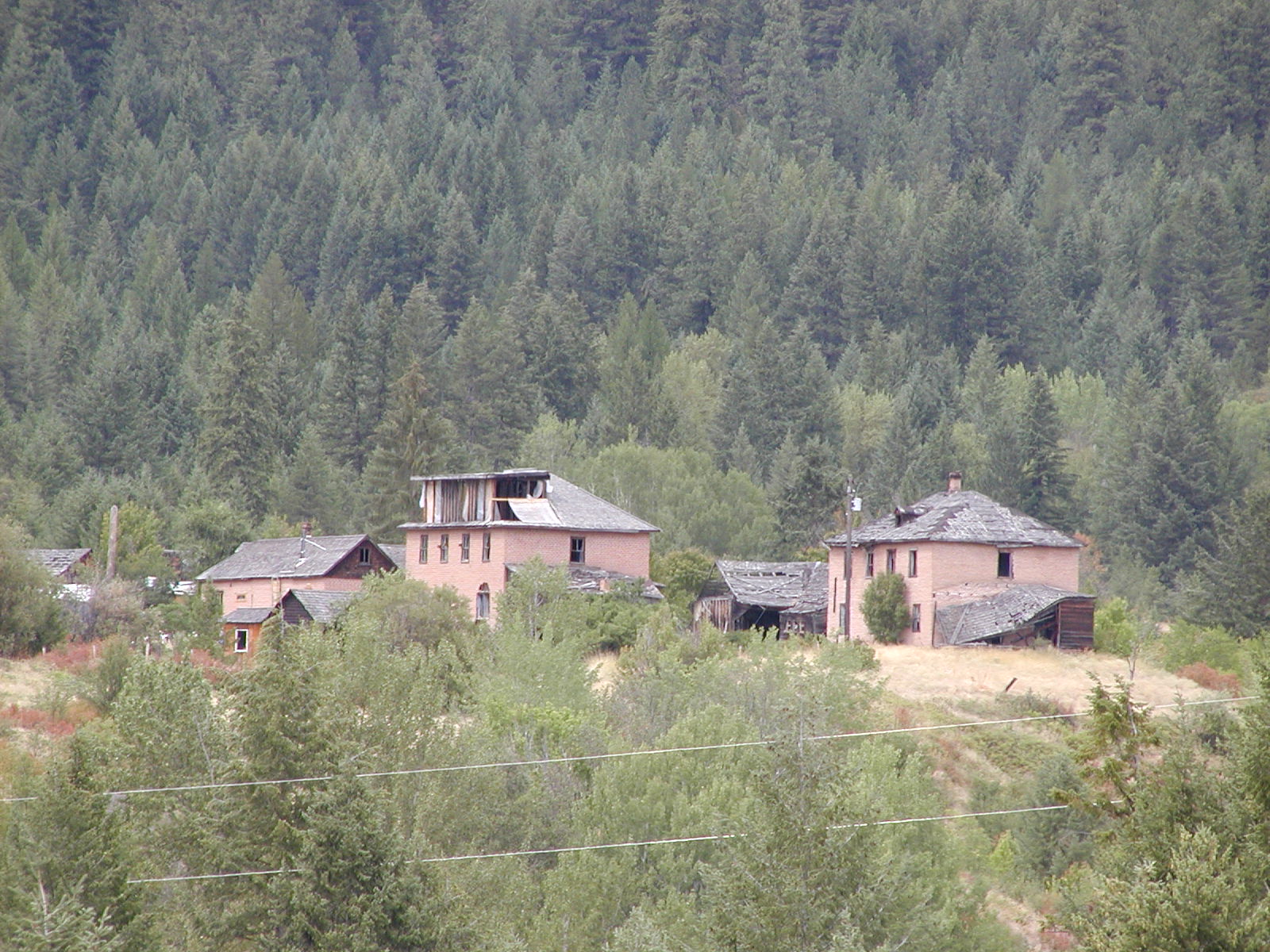
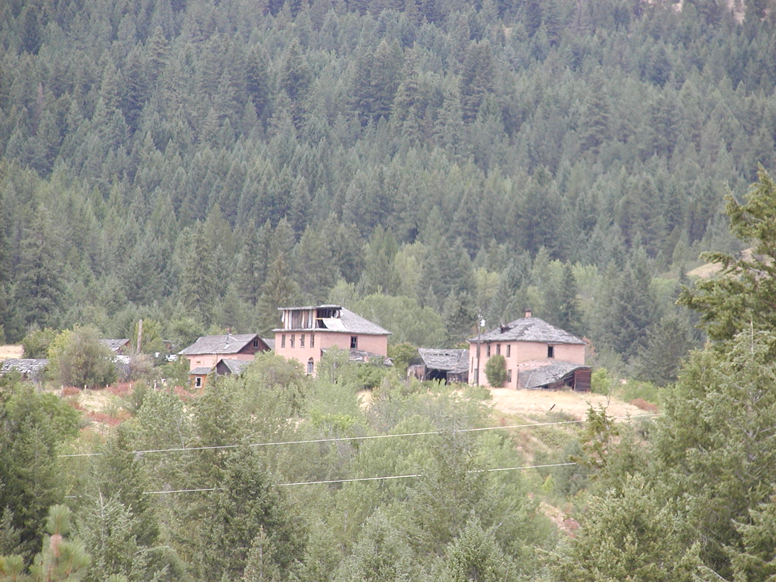
Doukhobor buildings still standing on the western edge of Grand Forks.


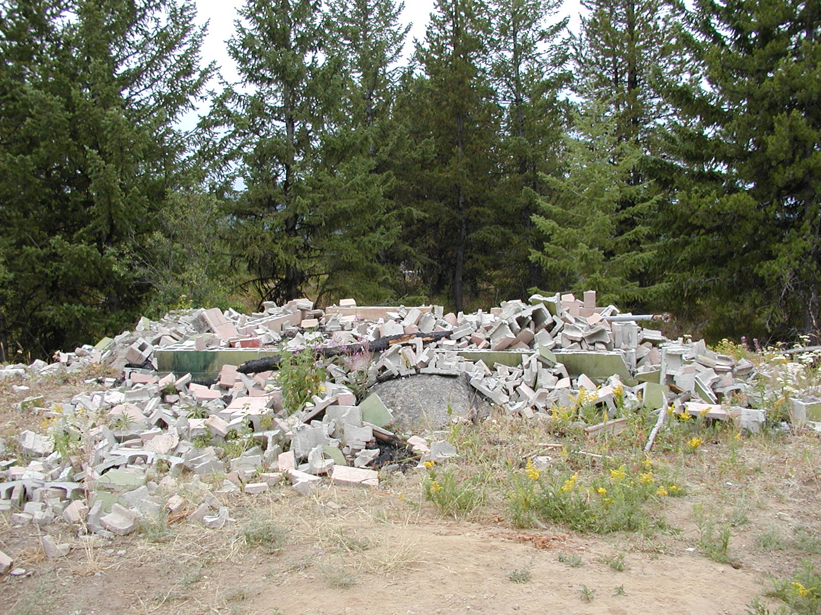
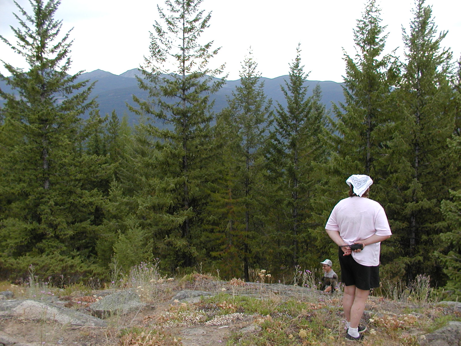
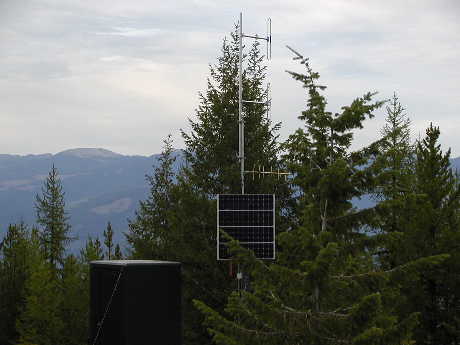
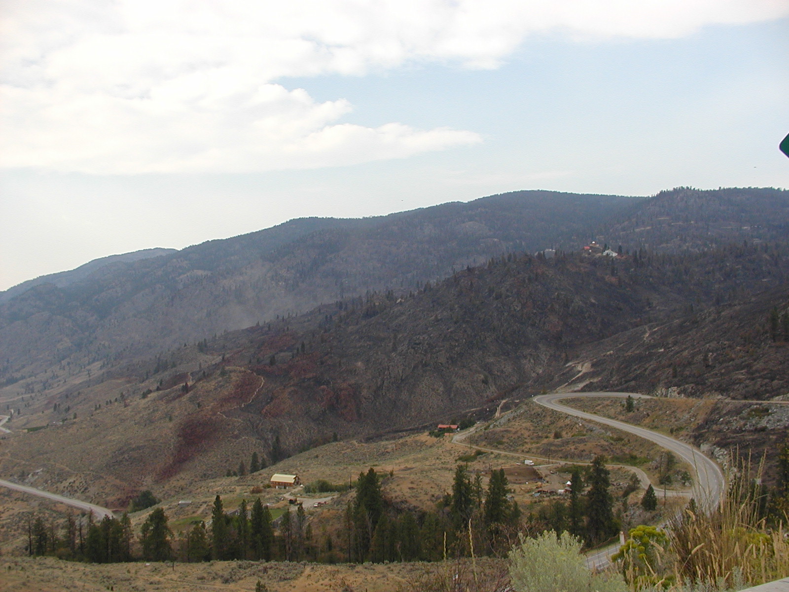
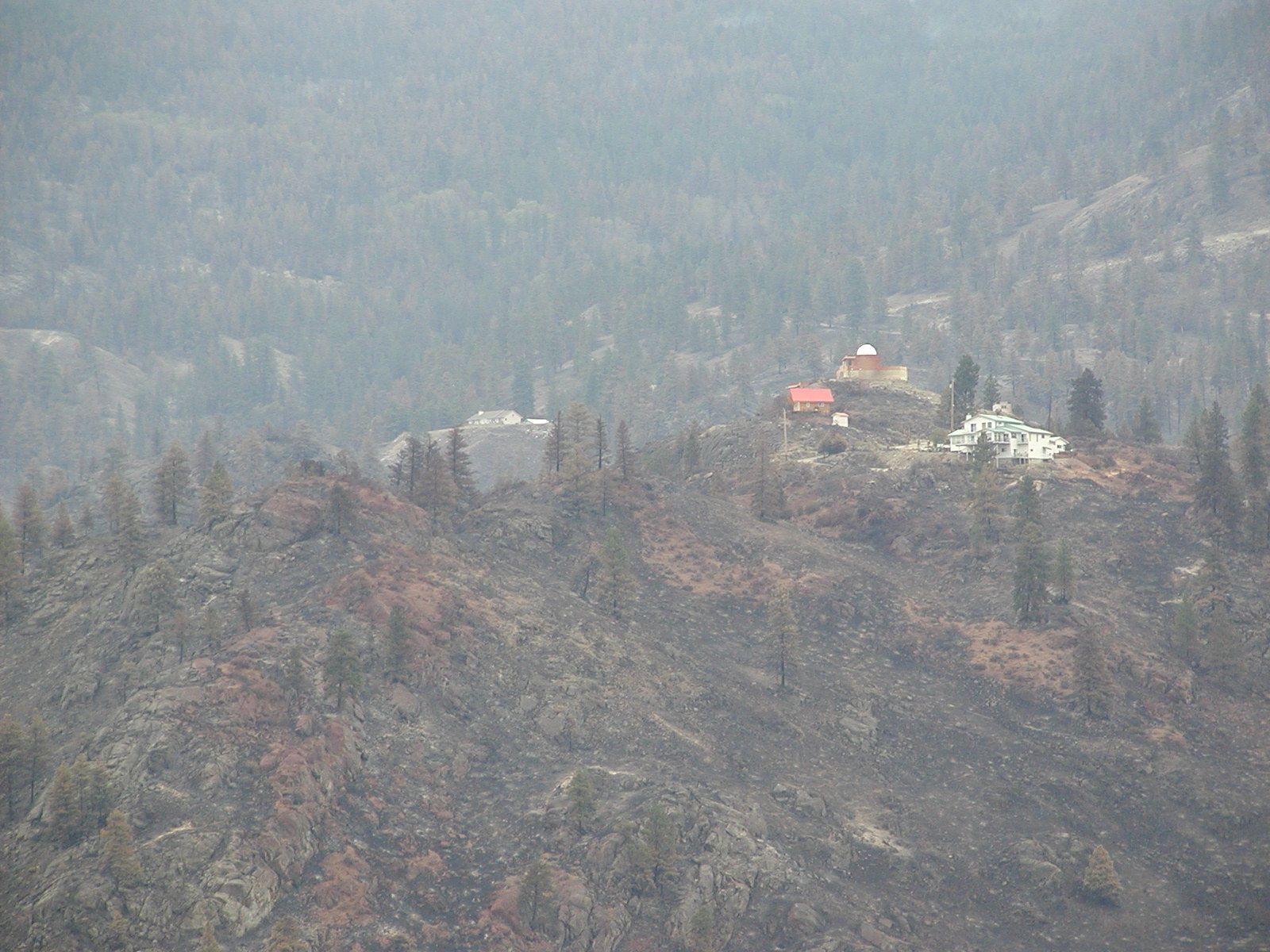
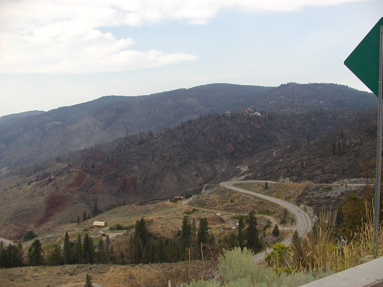
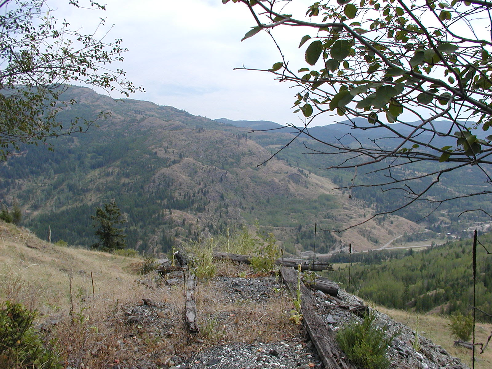
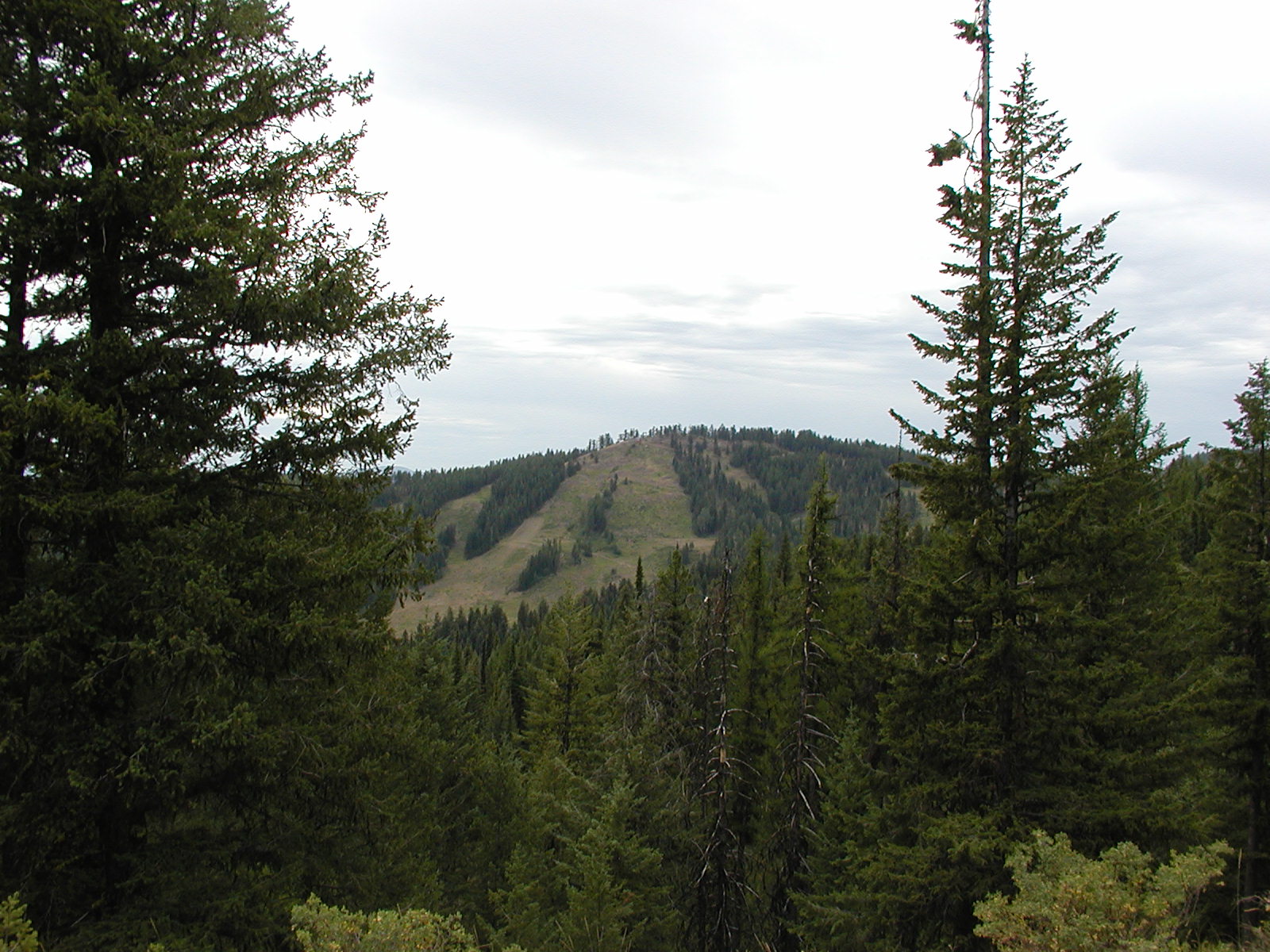
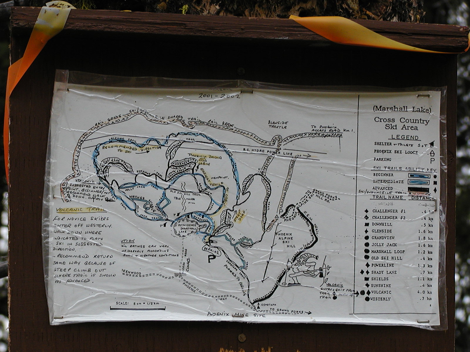
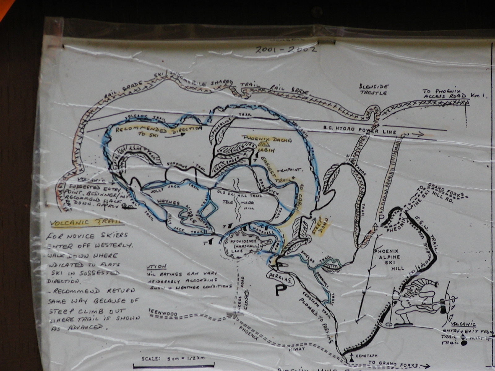
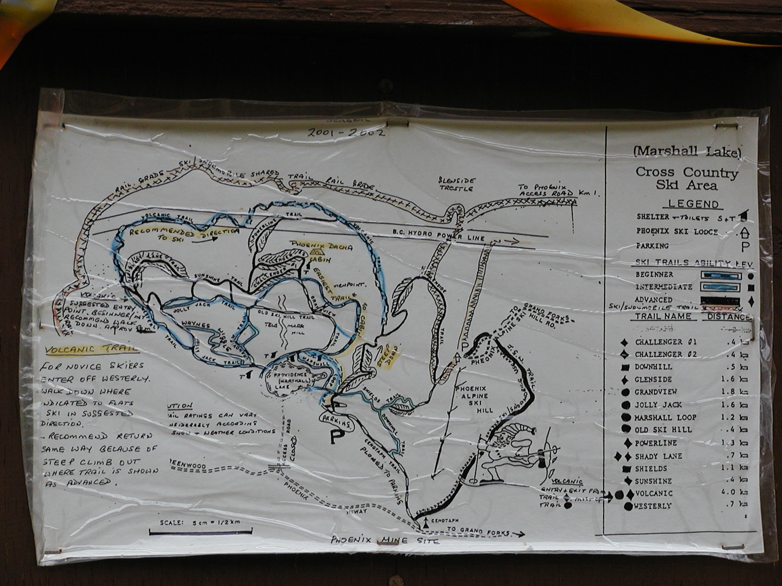
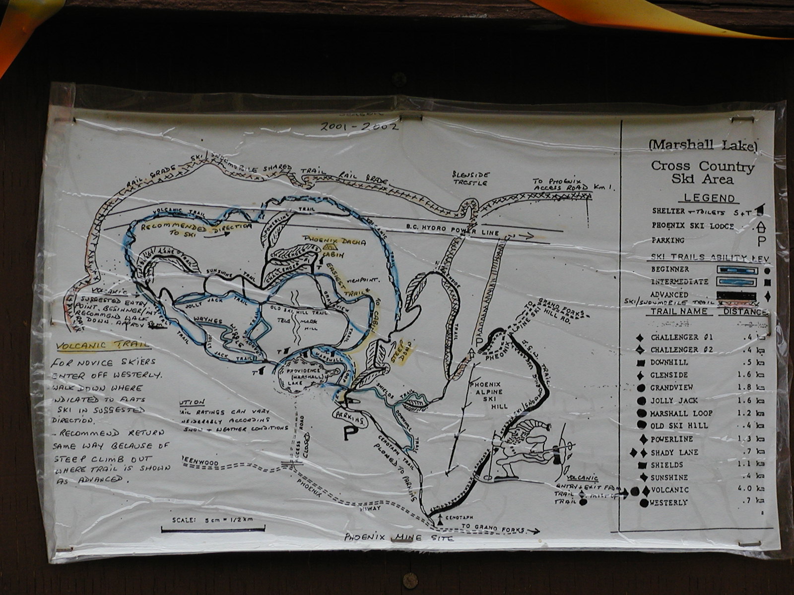
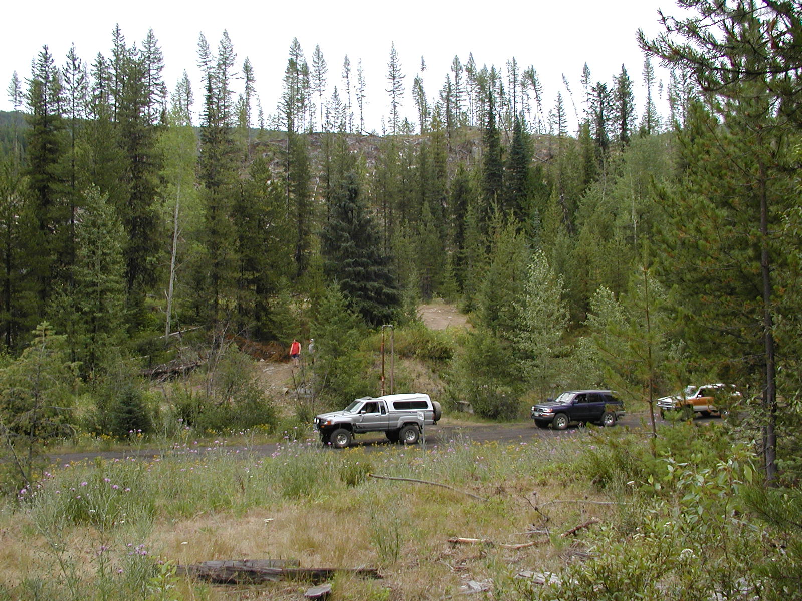
Phoenix Mountain Ski Resort Maps and views from the Forestry Rec Site at Marshall (Phoenix) Lake.
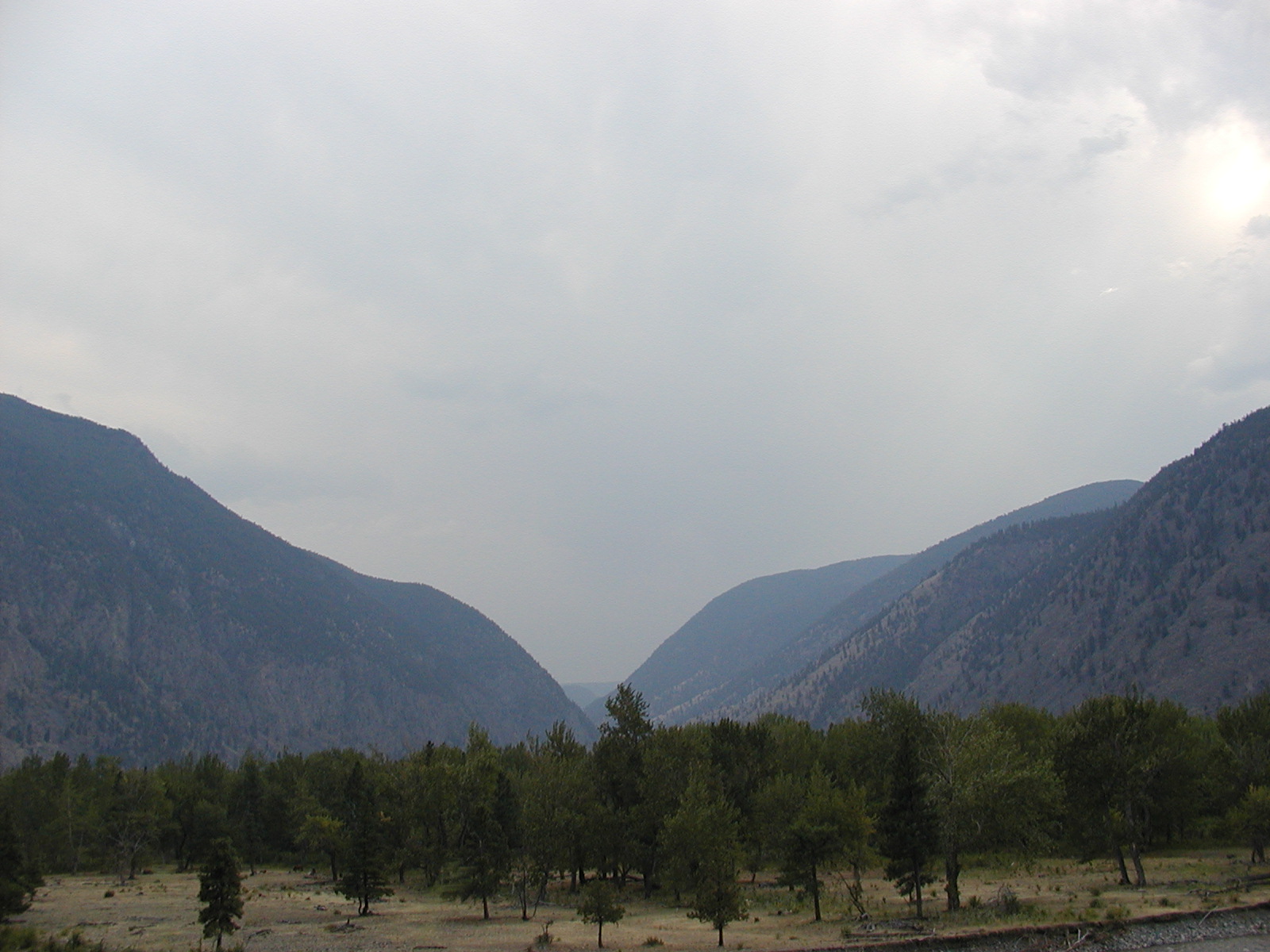
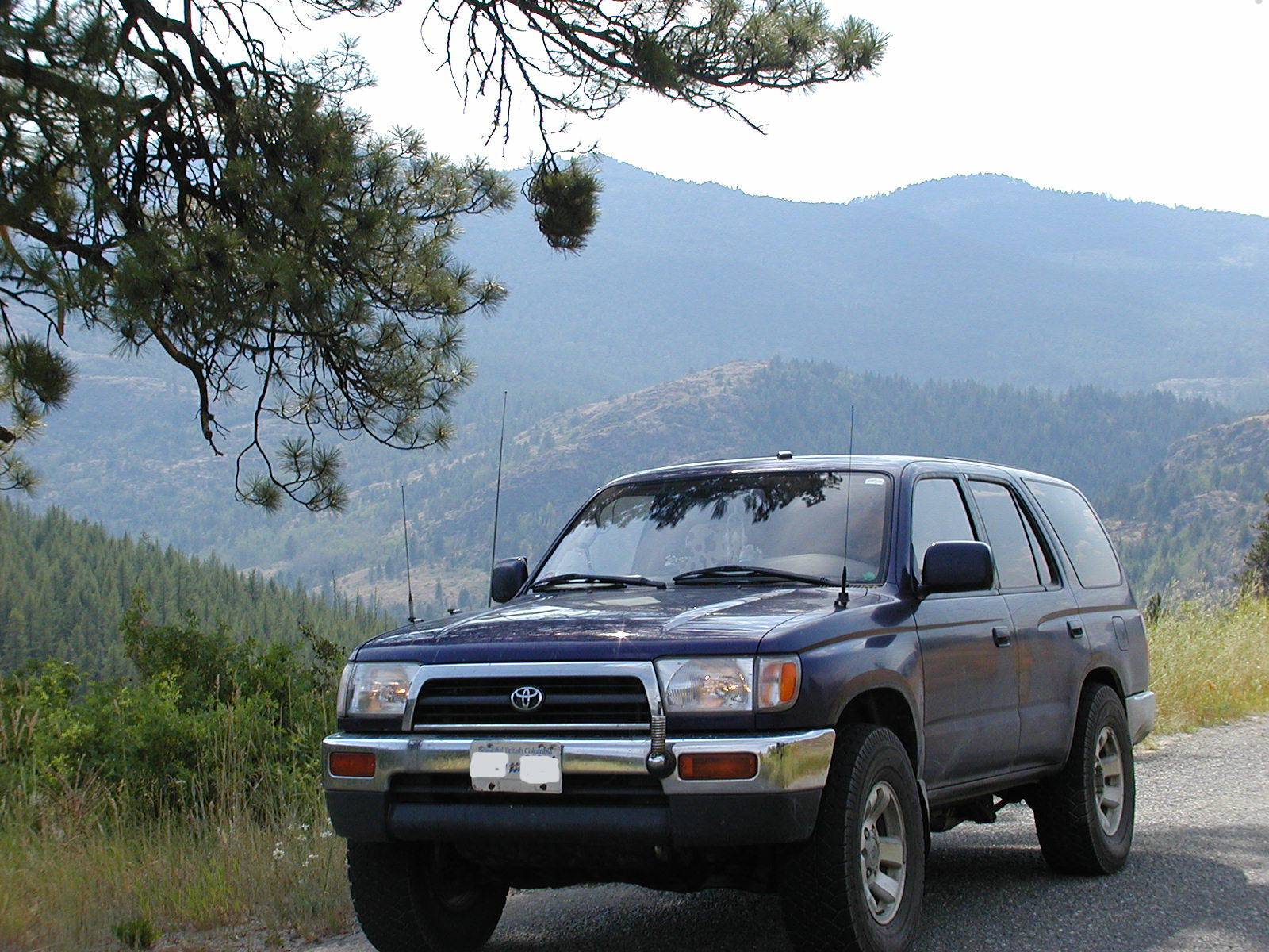
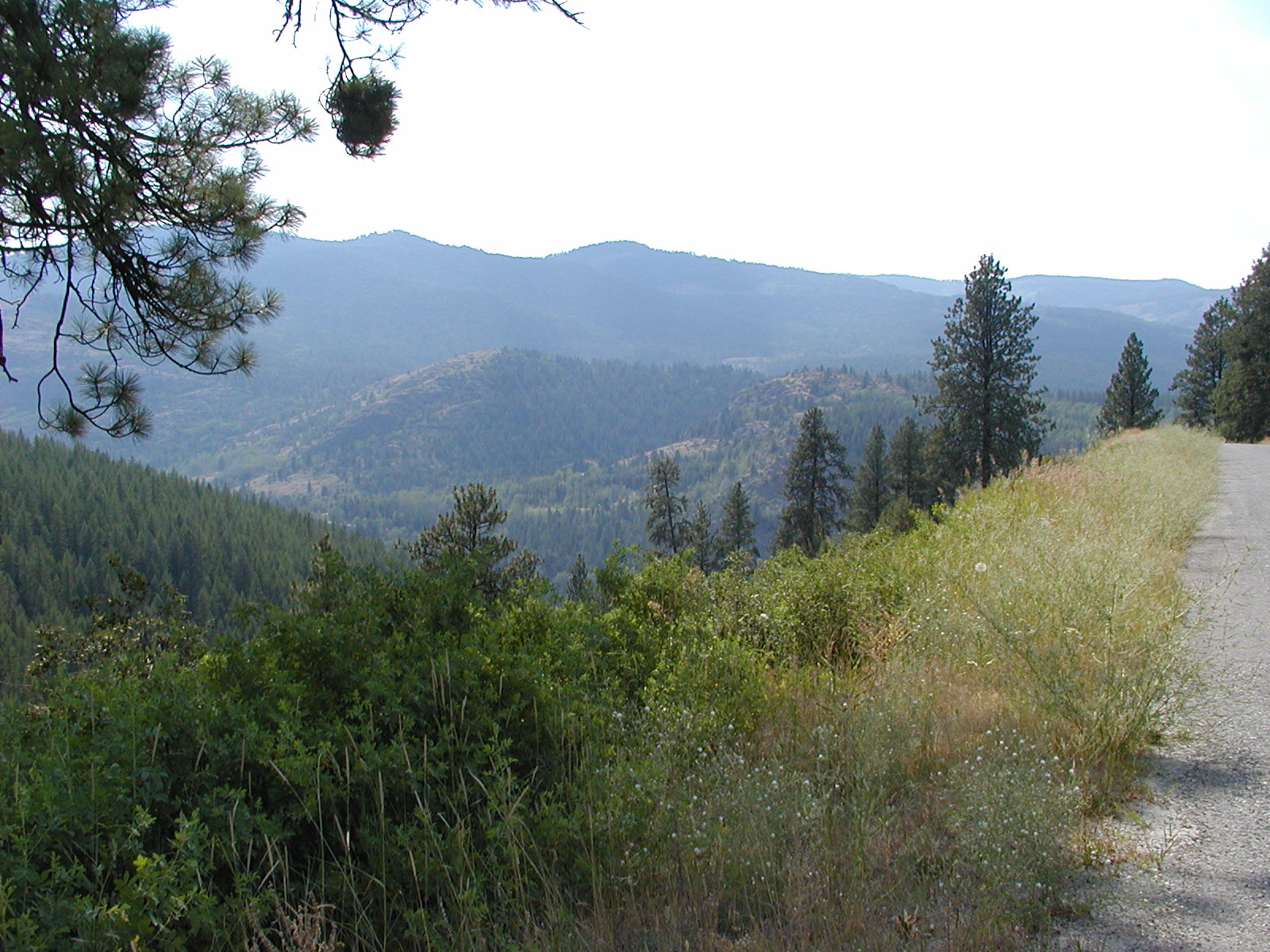
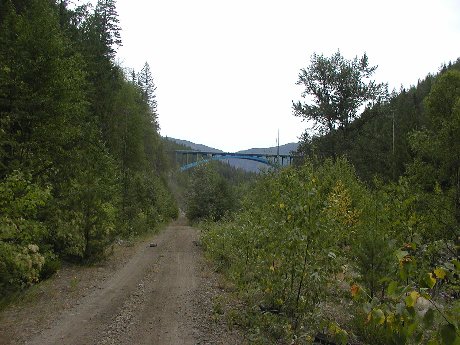
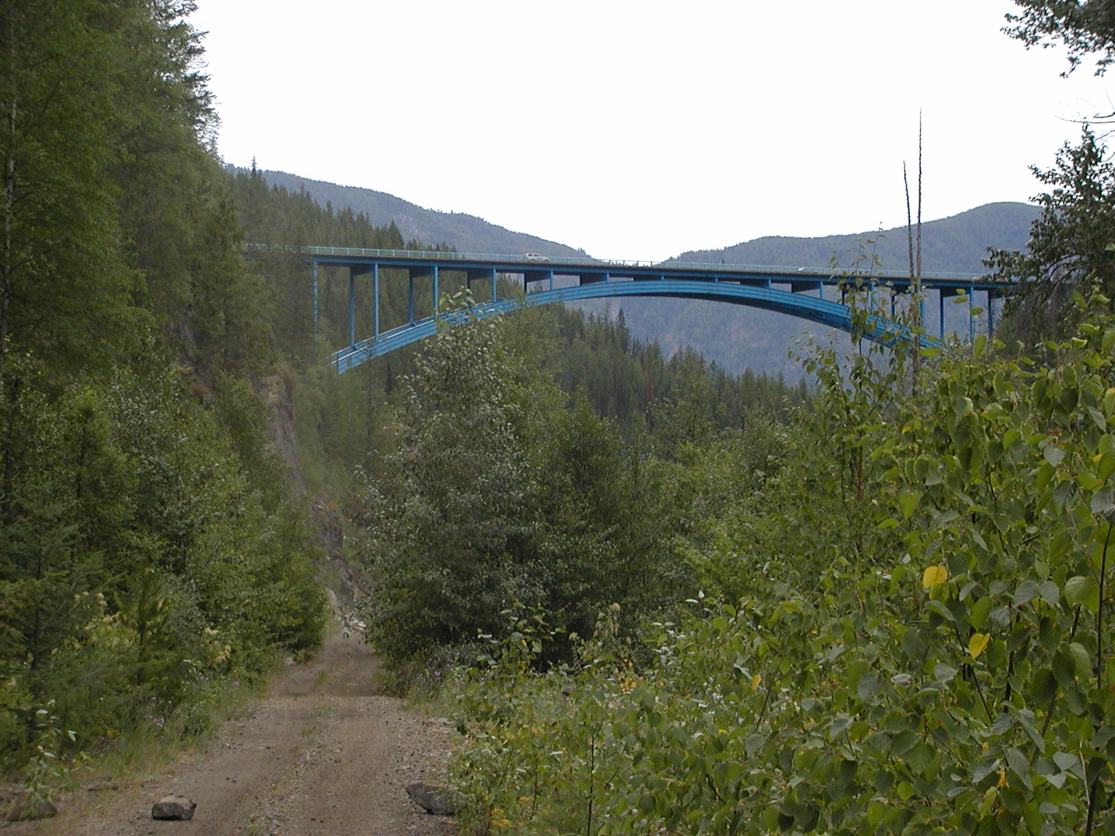
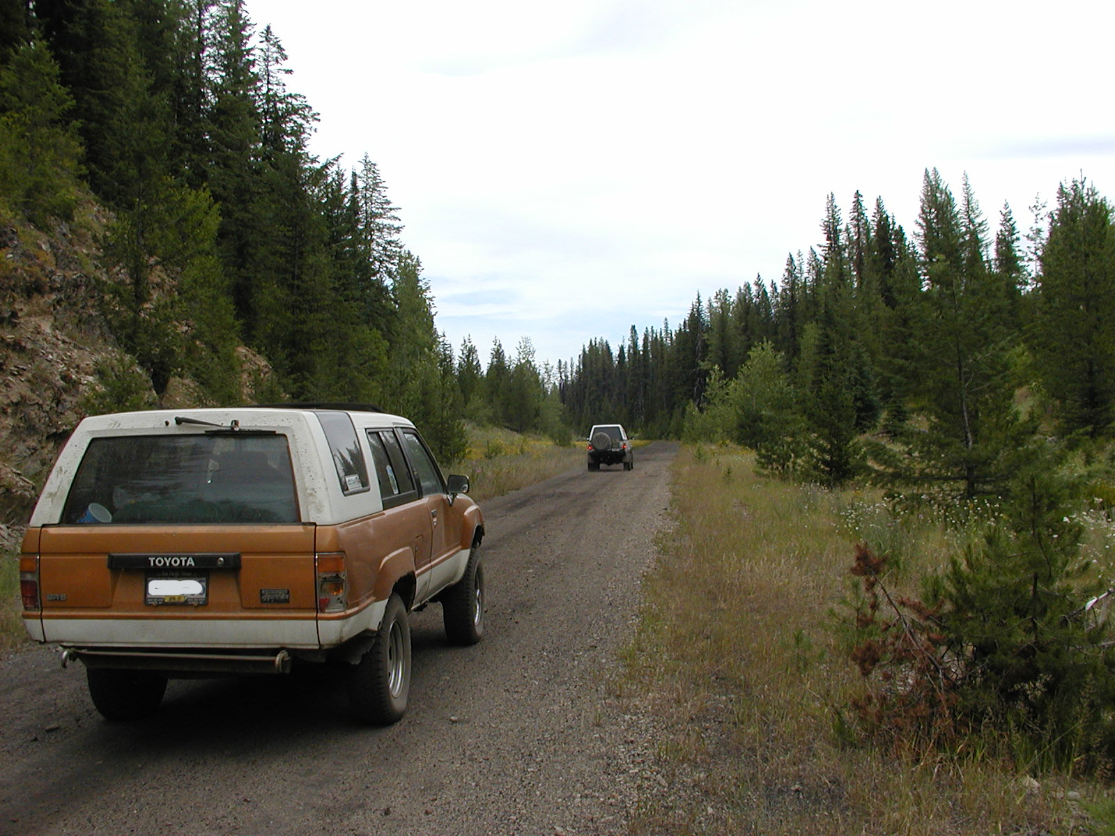
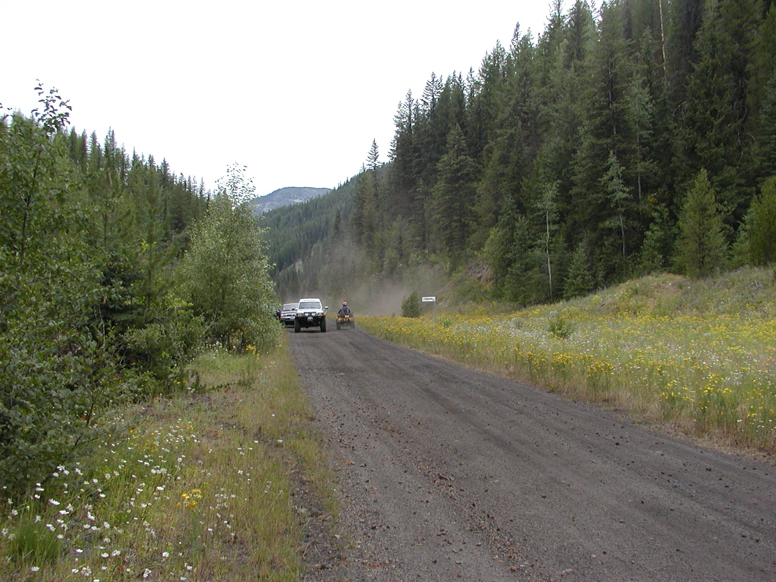
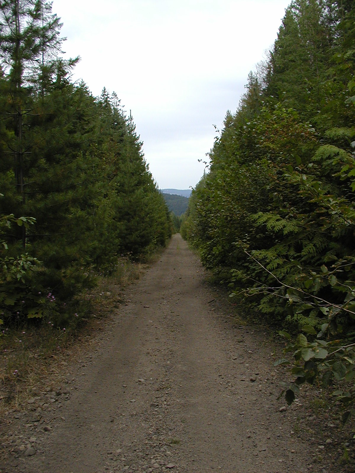
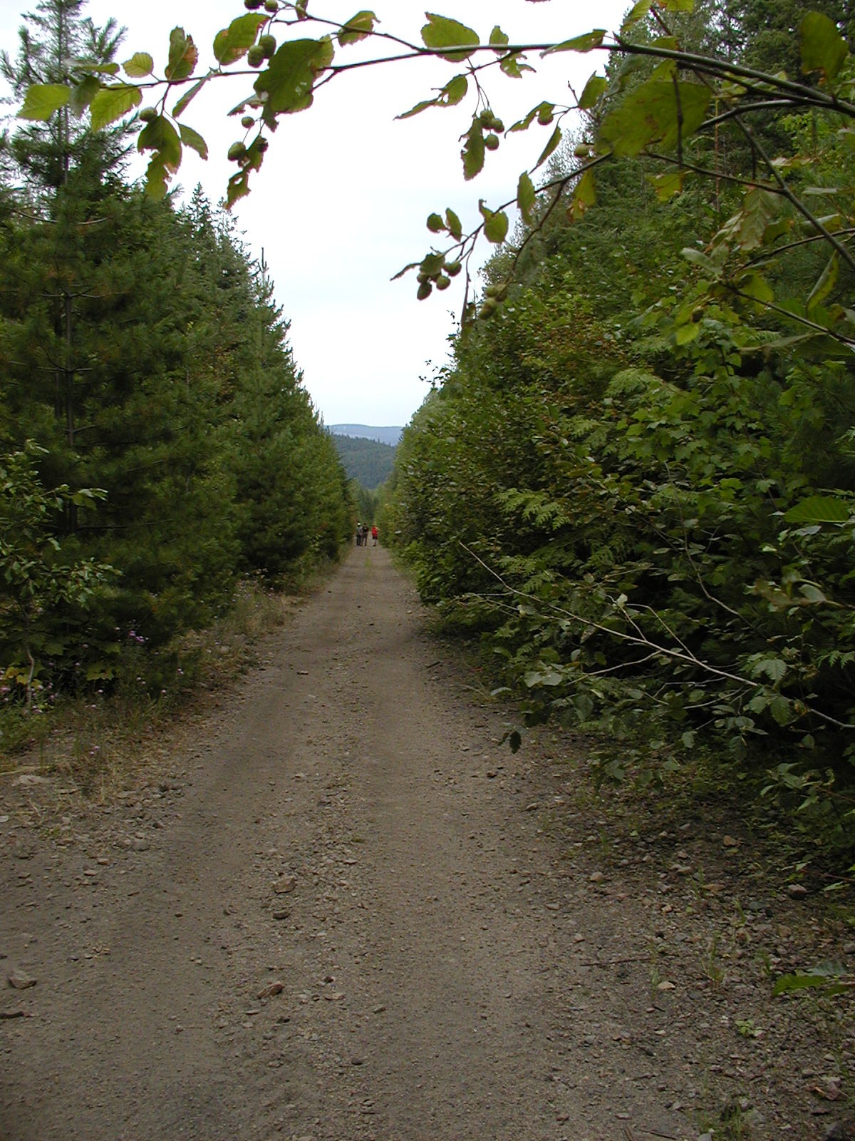
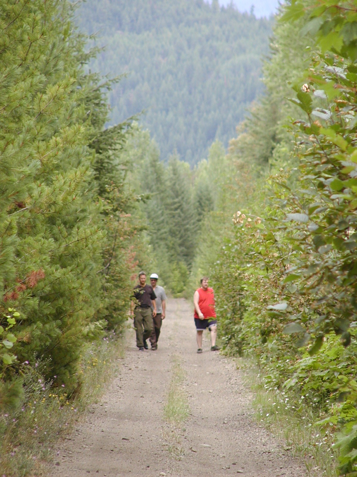
Past Christina Lake on Hwy 3 towards Castelgar, turning off towards Bulldog Mountain. Along the old Columbia & Western Railway line that ran from Grand Forks through Farron and on towards Castlegar.
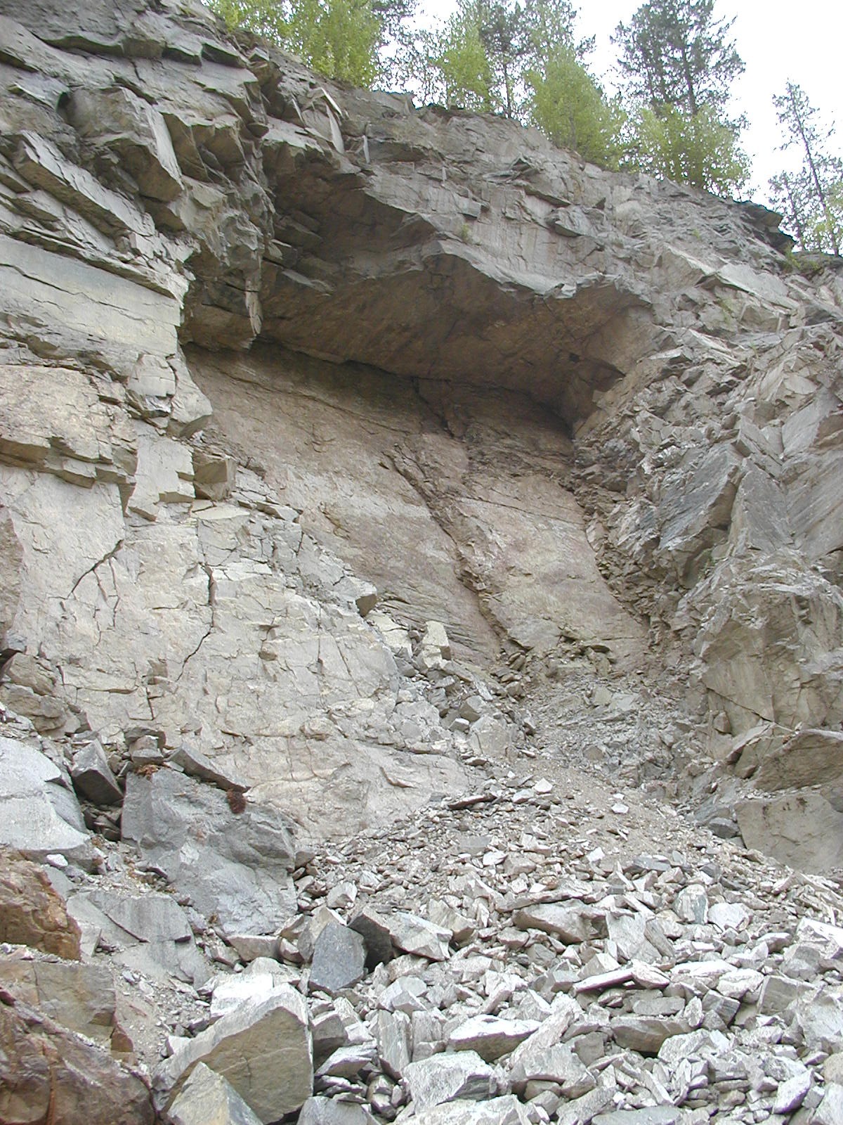

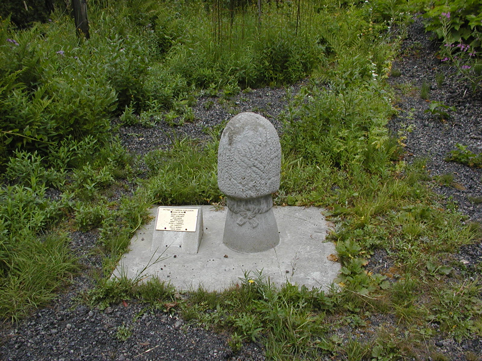
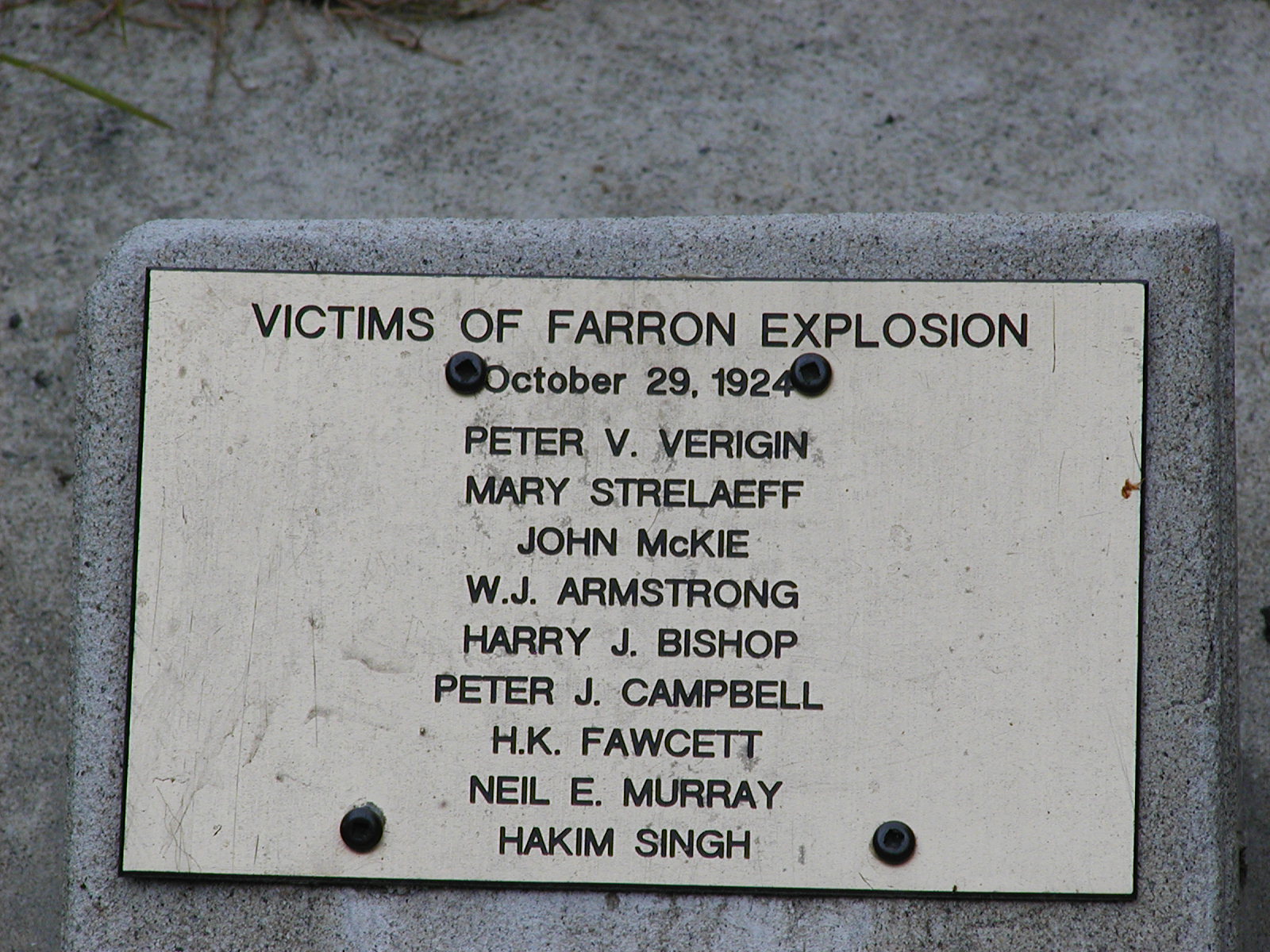
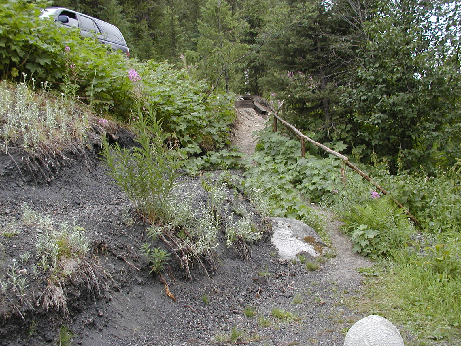
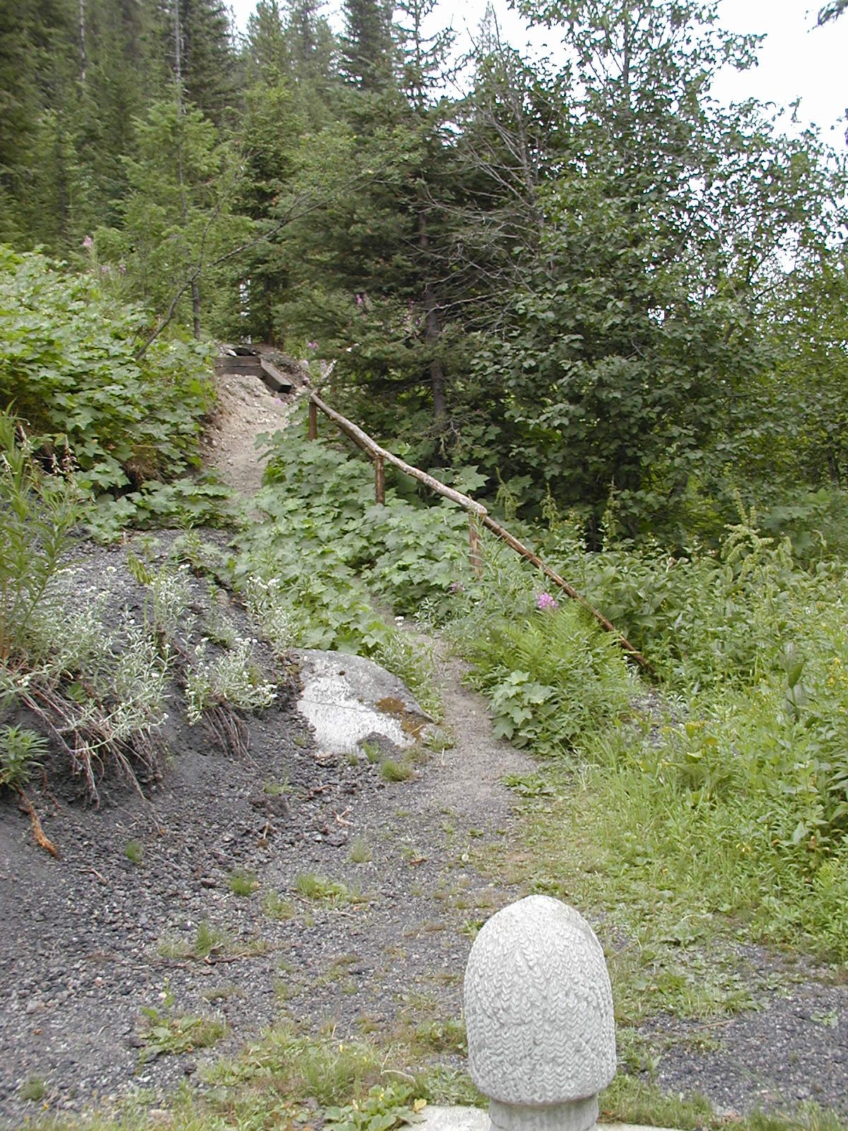
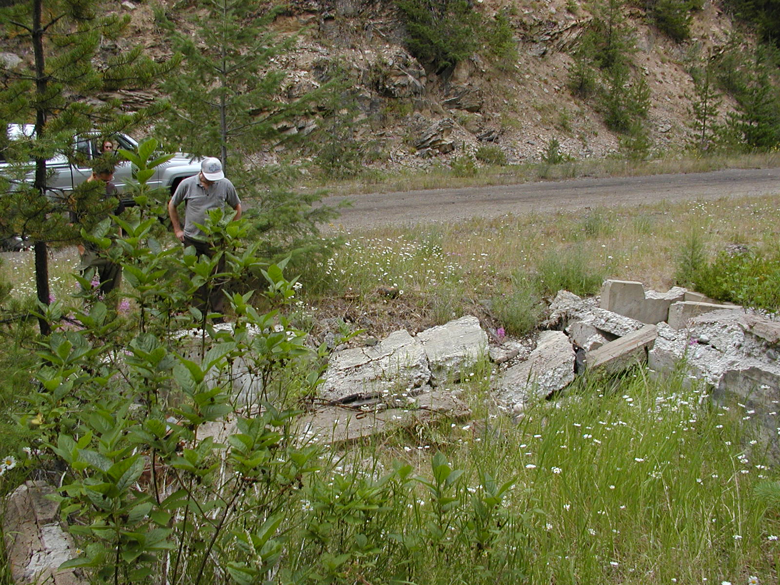
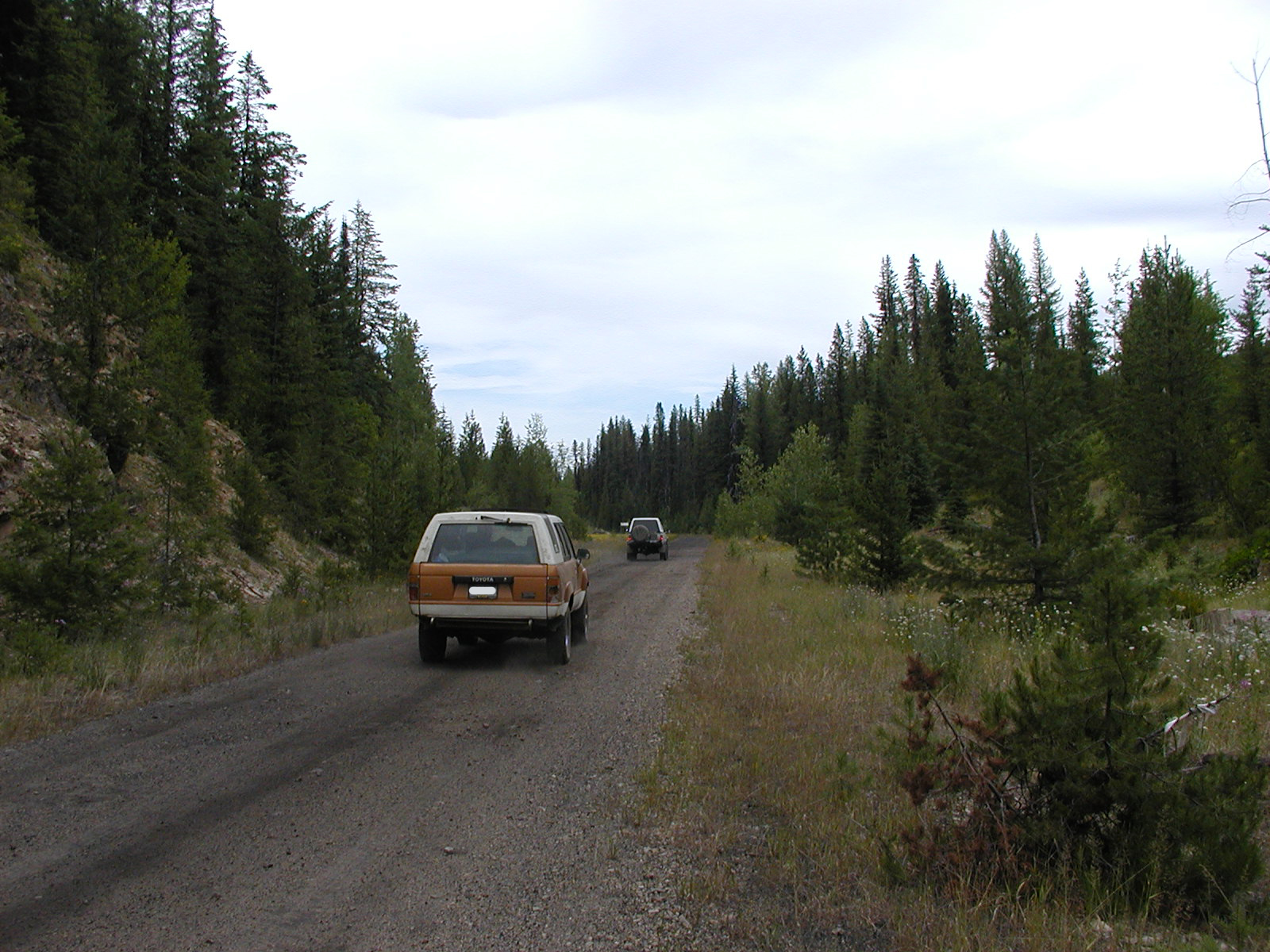
Along the way northern on the C & W Line towards the old townsite of Farron. We past by a memorial item commemorating the Farron Explosion in 1924. The BC Archives site had nothing on this event so we did a little web searching and found the following from different sites.
1.5km south of Farron you will find a small monument commemorating an explosion from a bomb planted on a passenger train in 1924. On its explosion it killed 9 passengers including Peter Verigin, leader of the Doukhobors. Another passenger was also a Member of Parliment. Hard to believe that terrorism was alive and well in Canada long before they flew airplanes into buildings. Doukhobors were settlers from Russia who settled into the Grand Forks area.

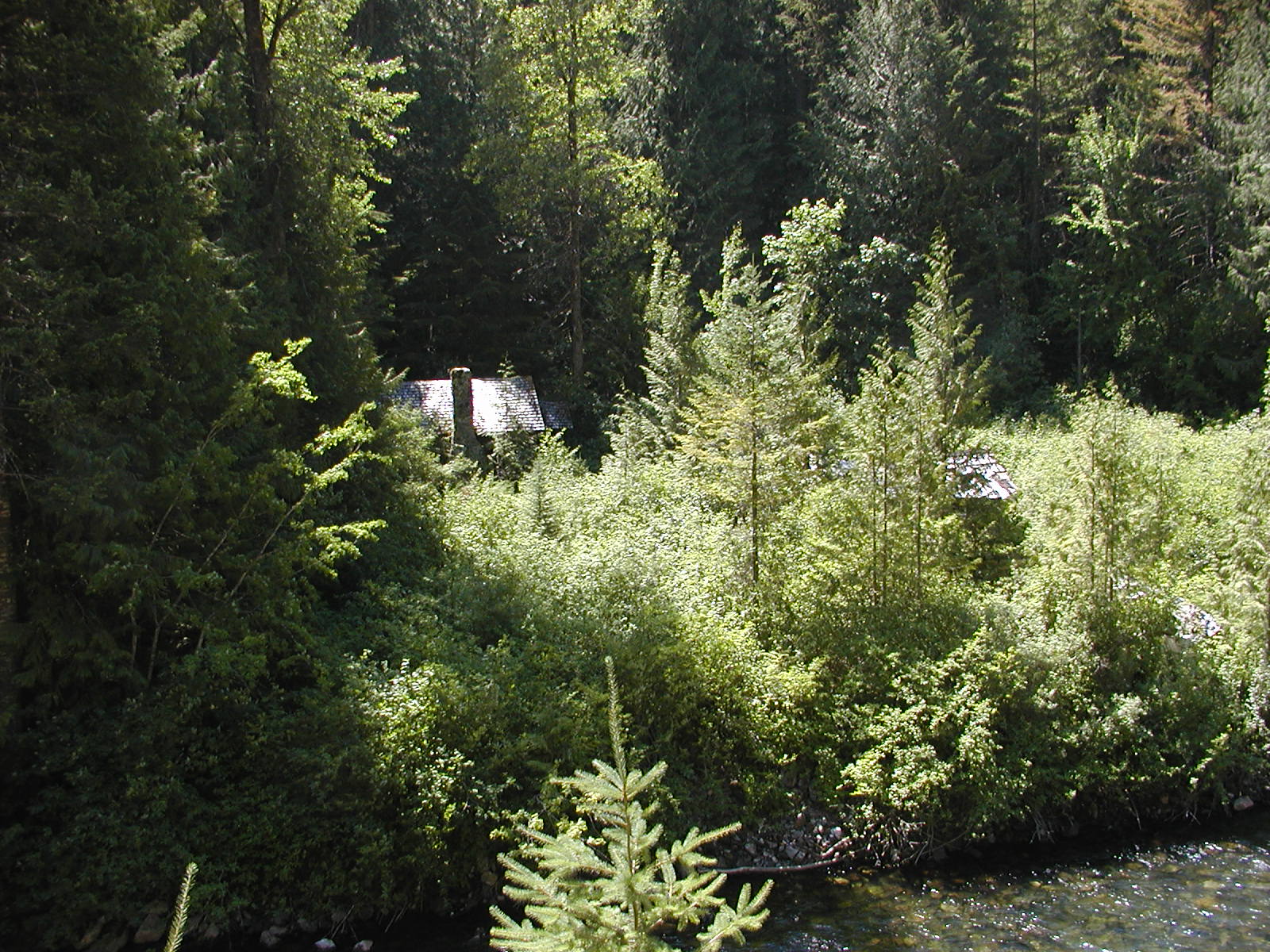
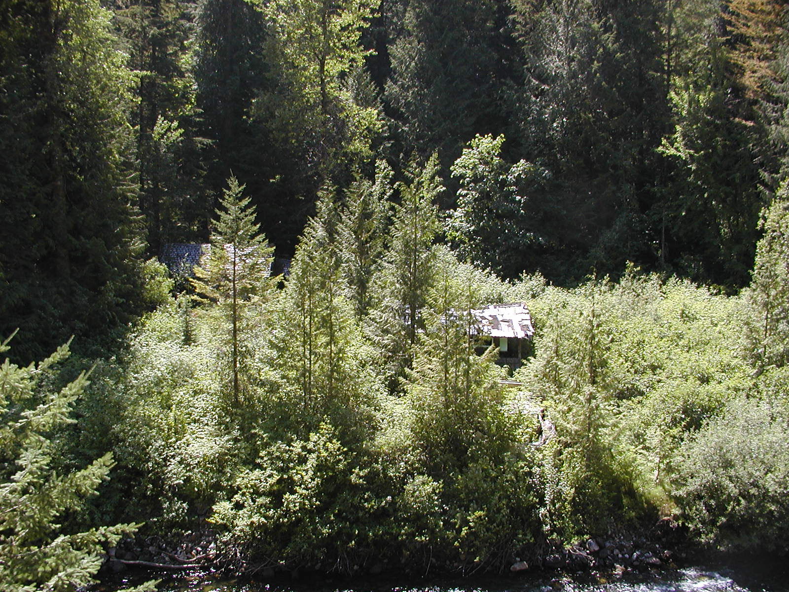
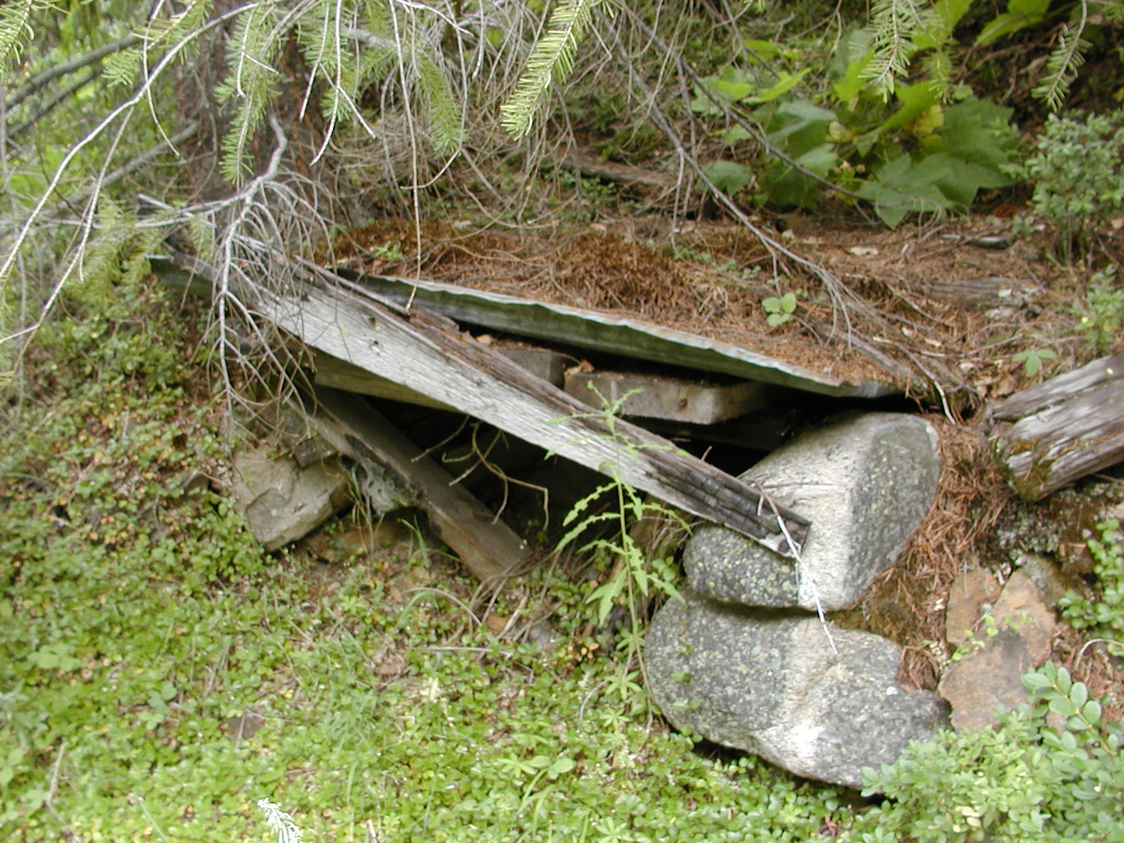
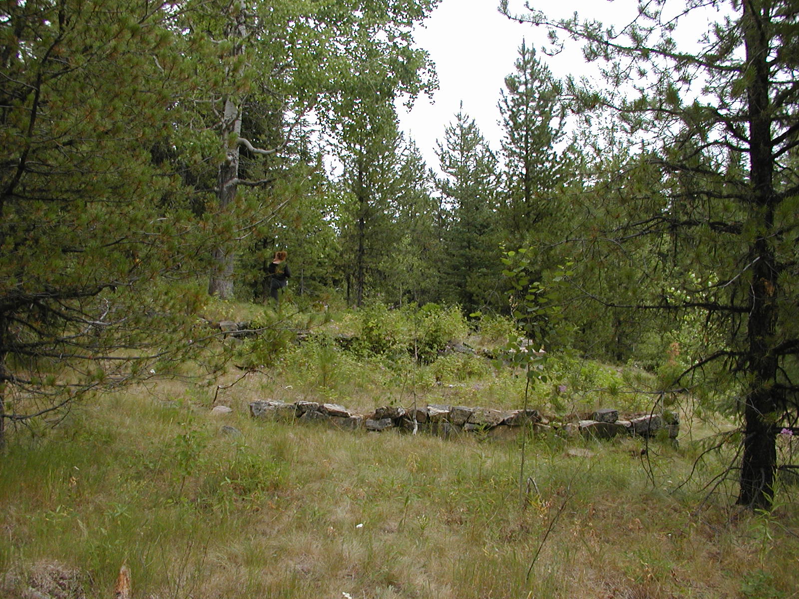
Old Townsite of Farron with water tower still standing. Railway Stop.


 \
\
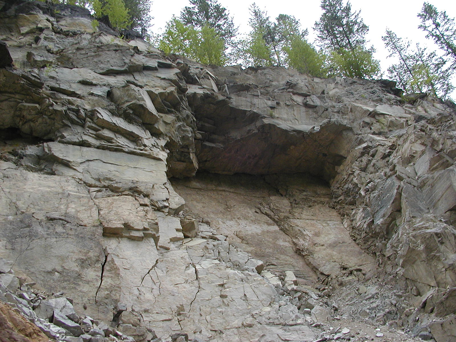
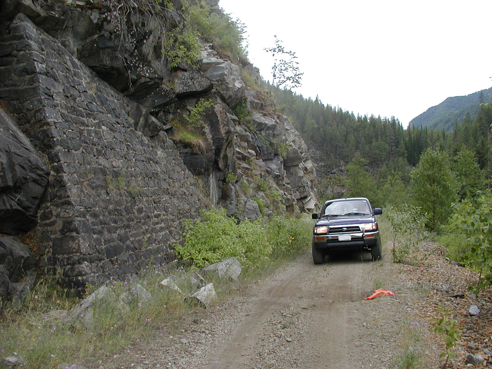
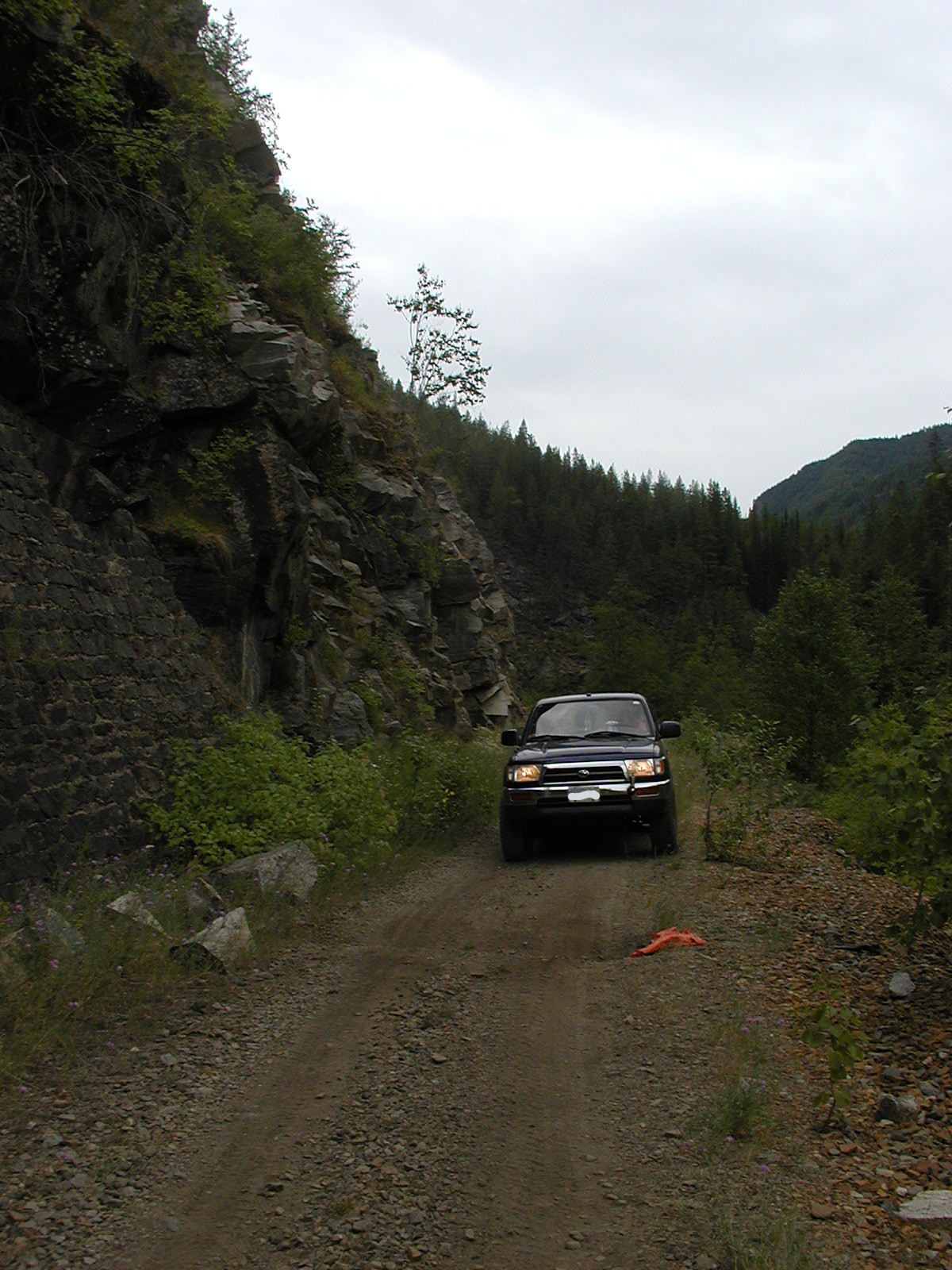
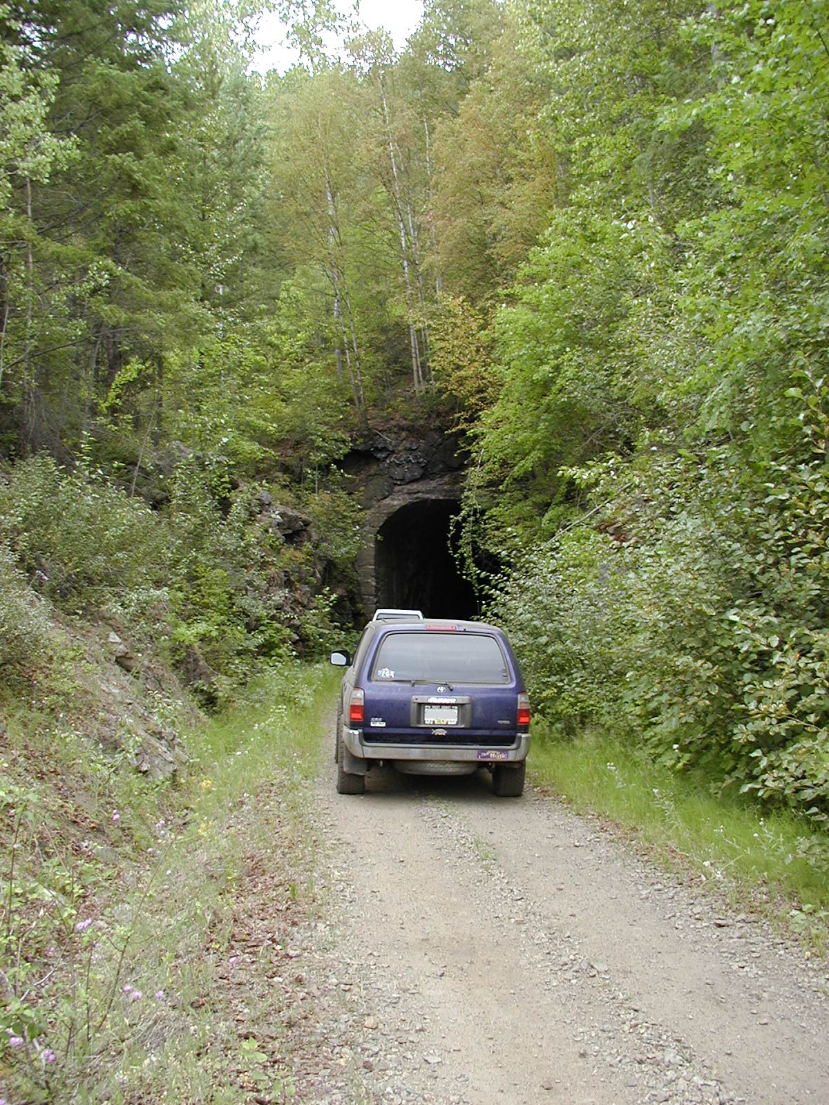
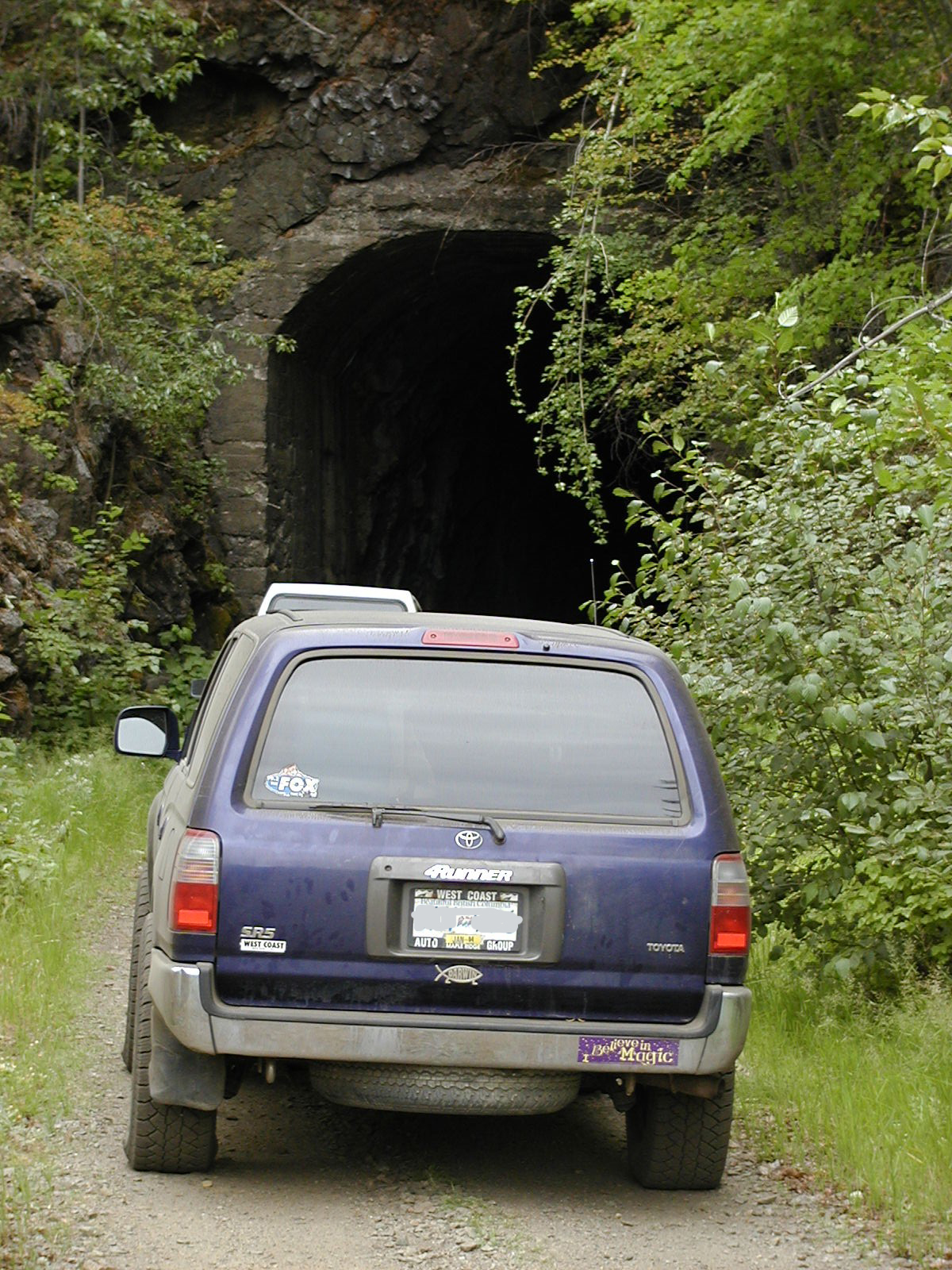
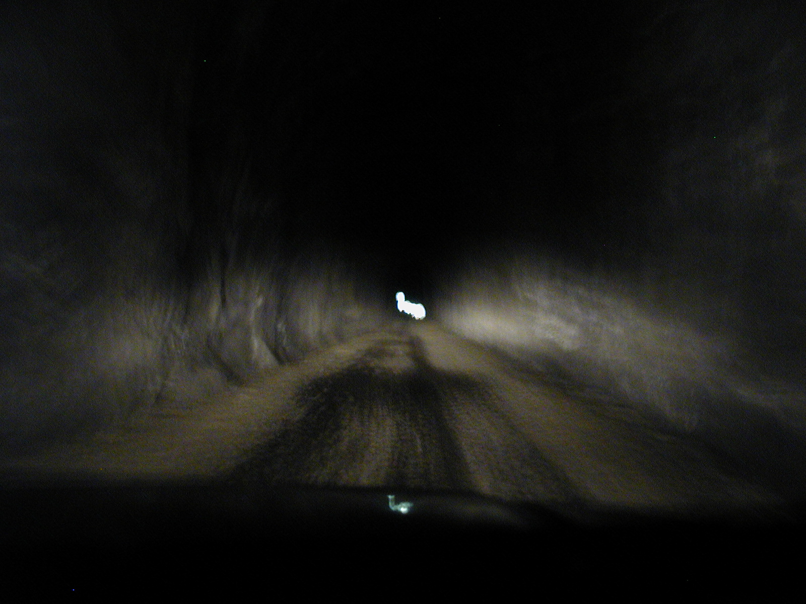
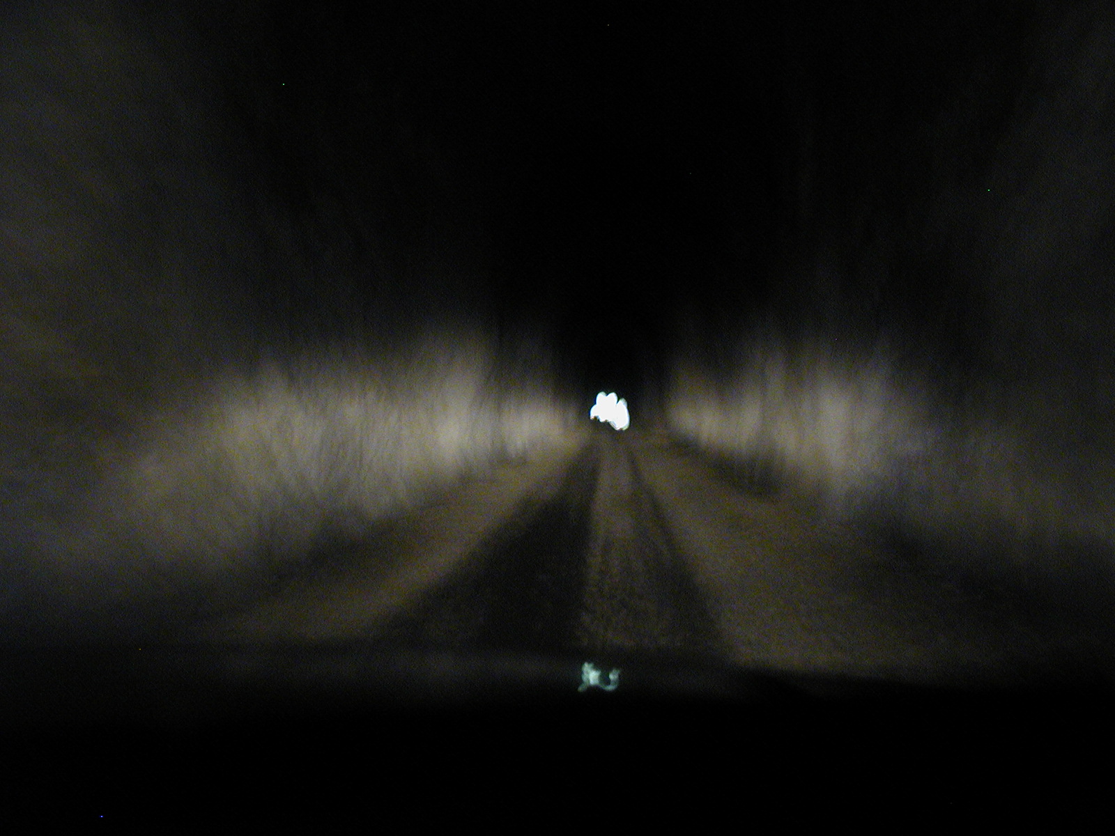
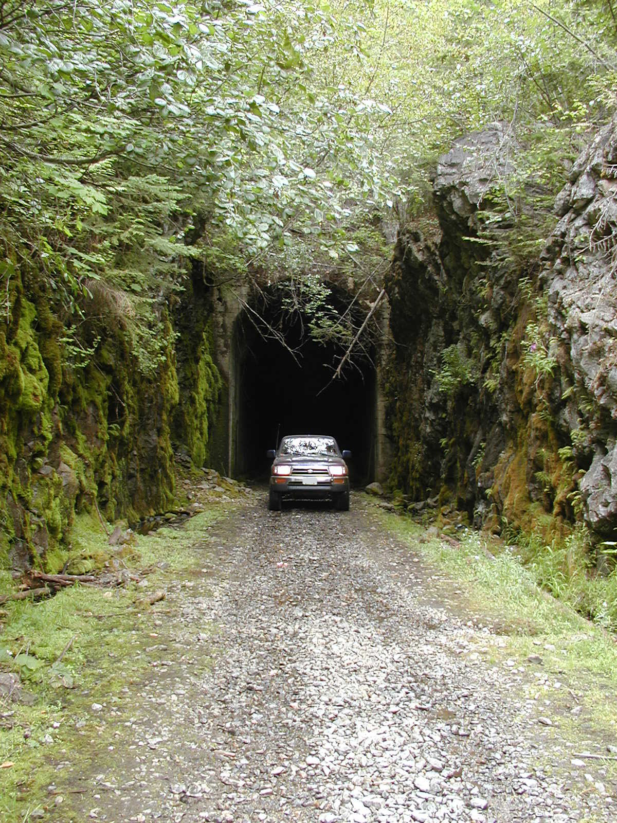
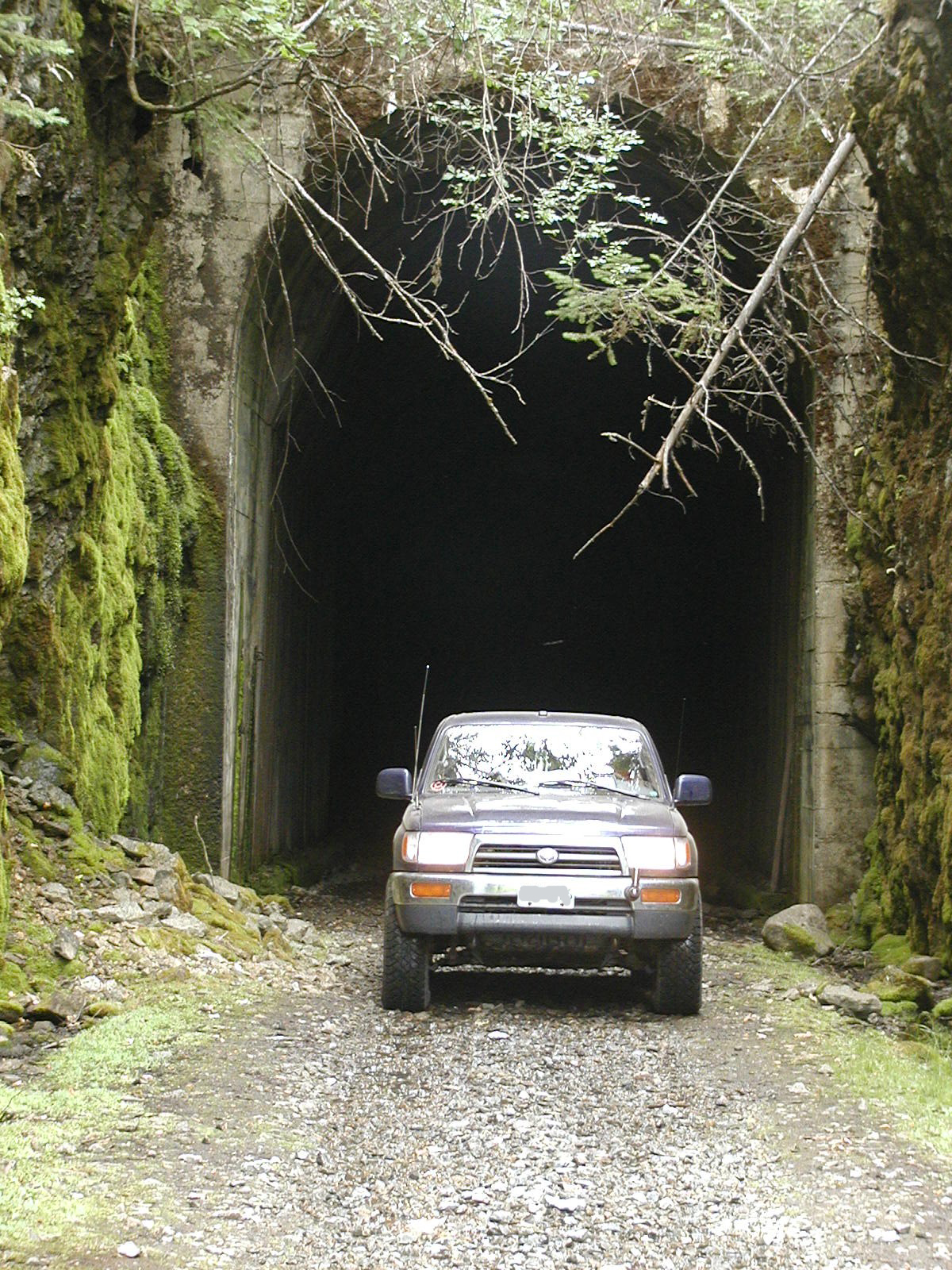
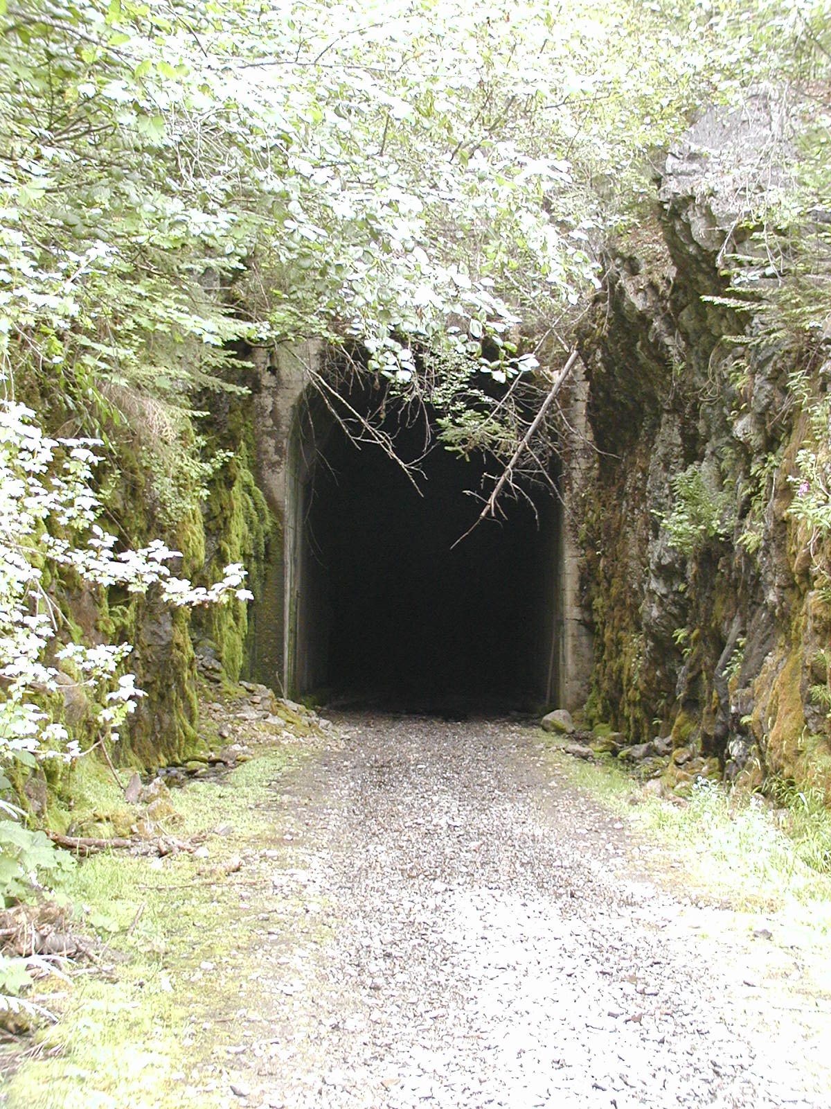
Bulldog Mountain Railway Tunnel - one of the longest ones contructed at that time being almost 1000 feet long with a curve that puts you into total darkness at one point.
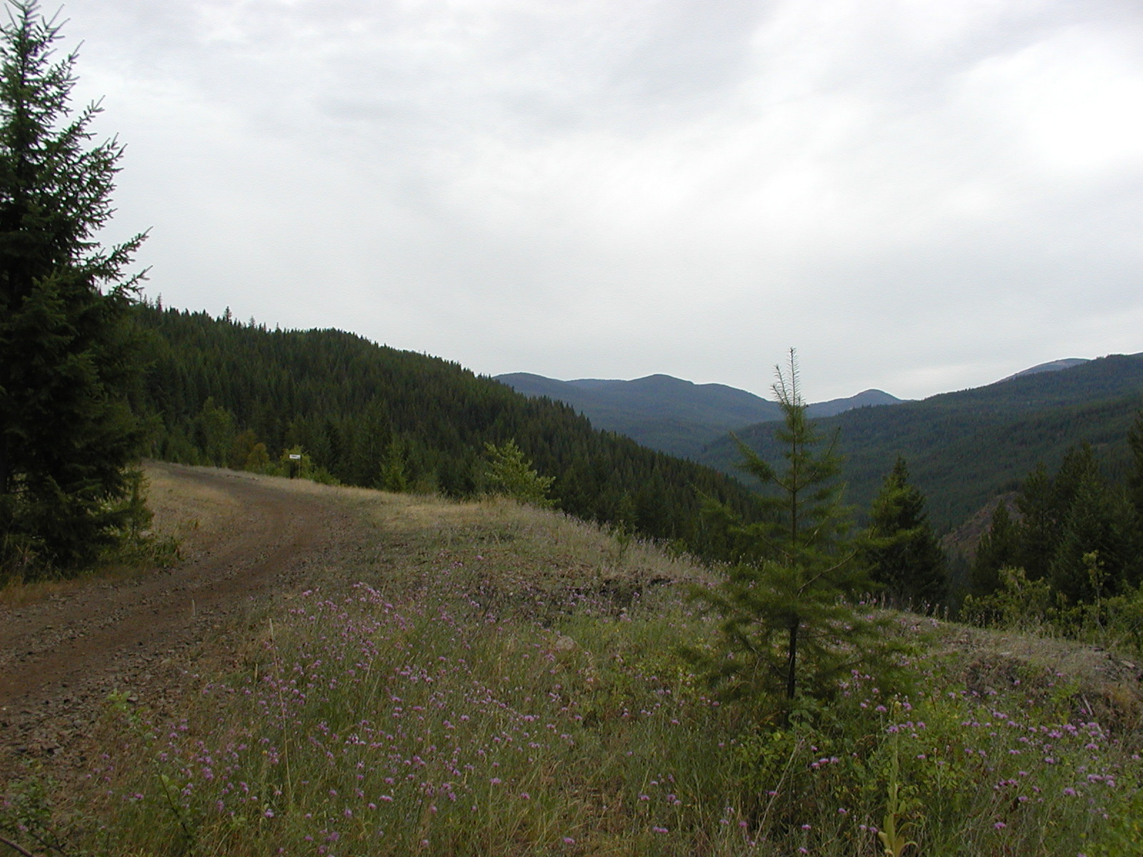

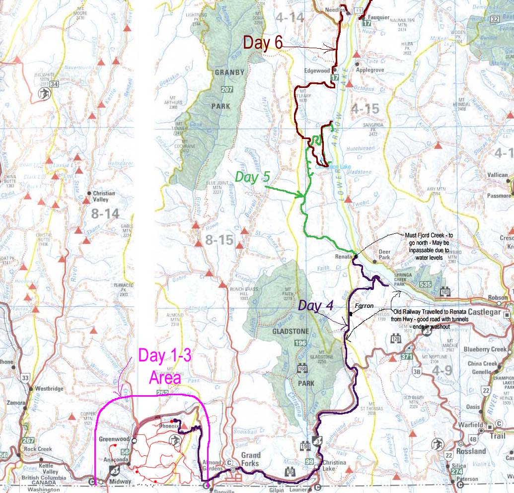
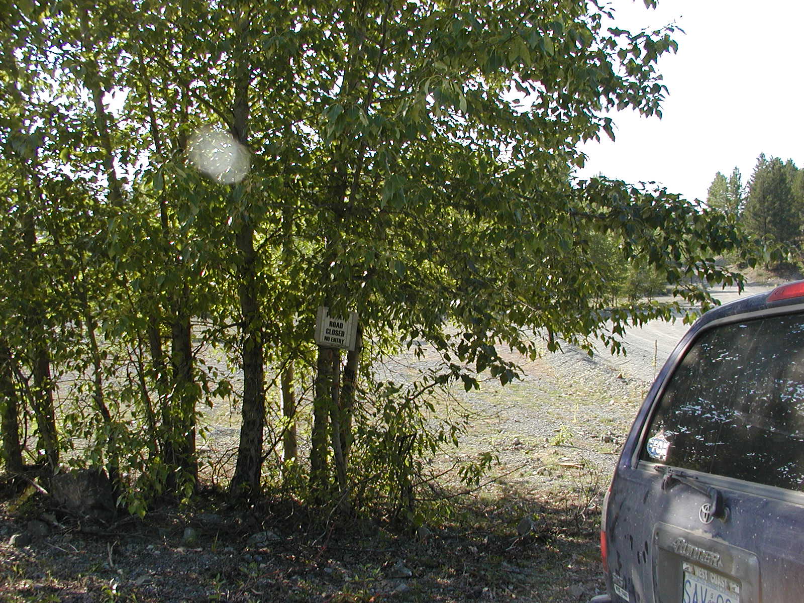
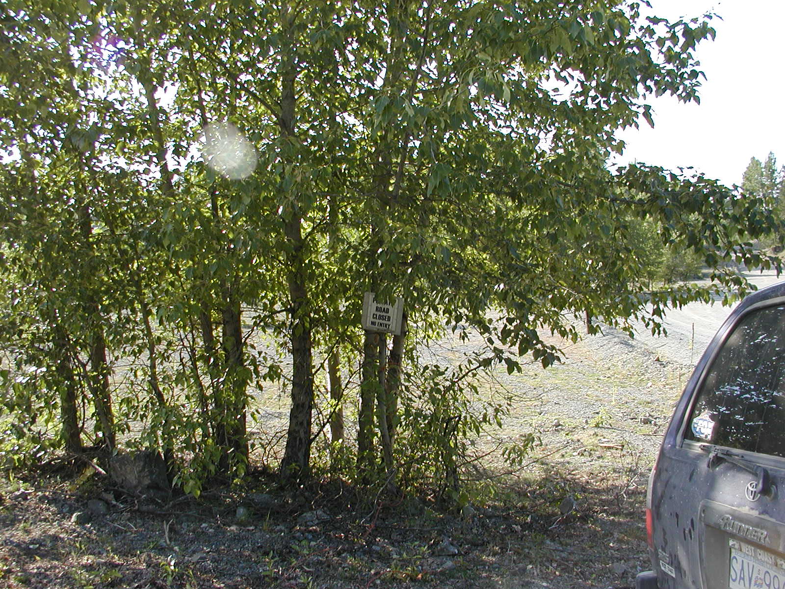
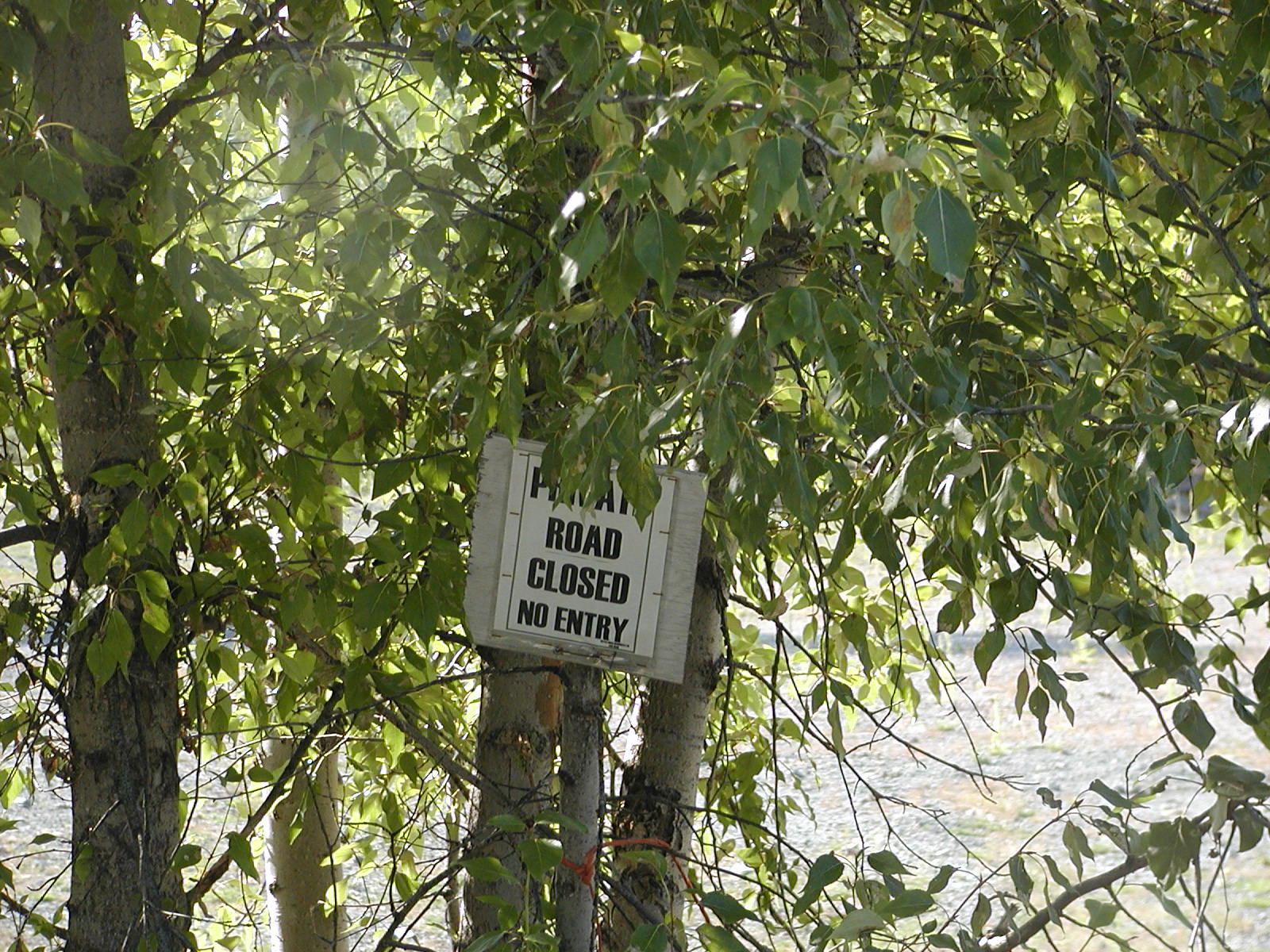
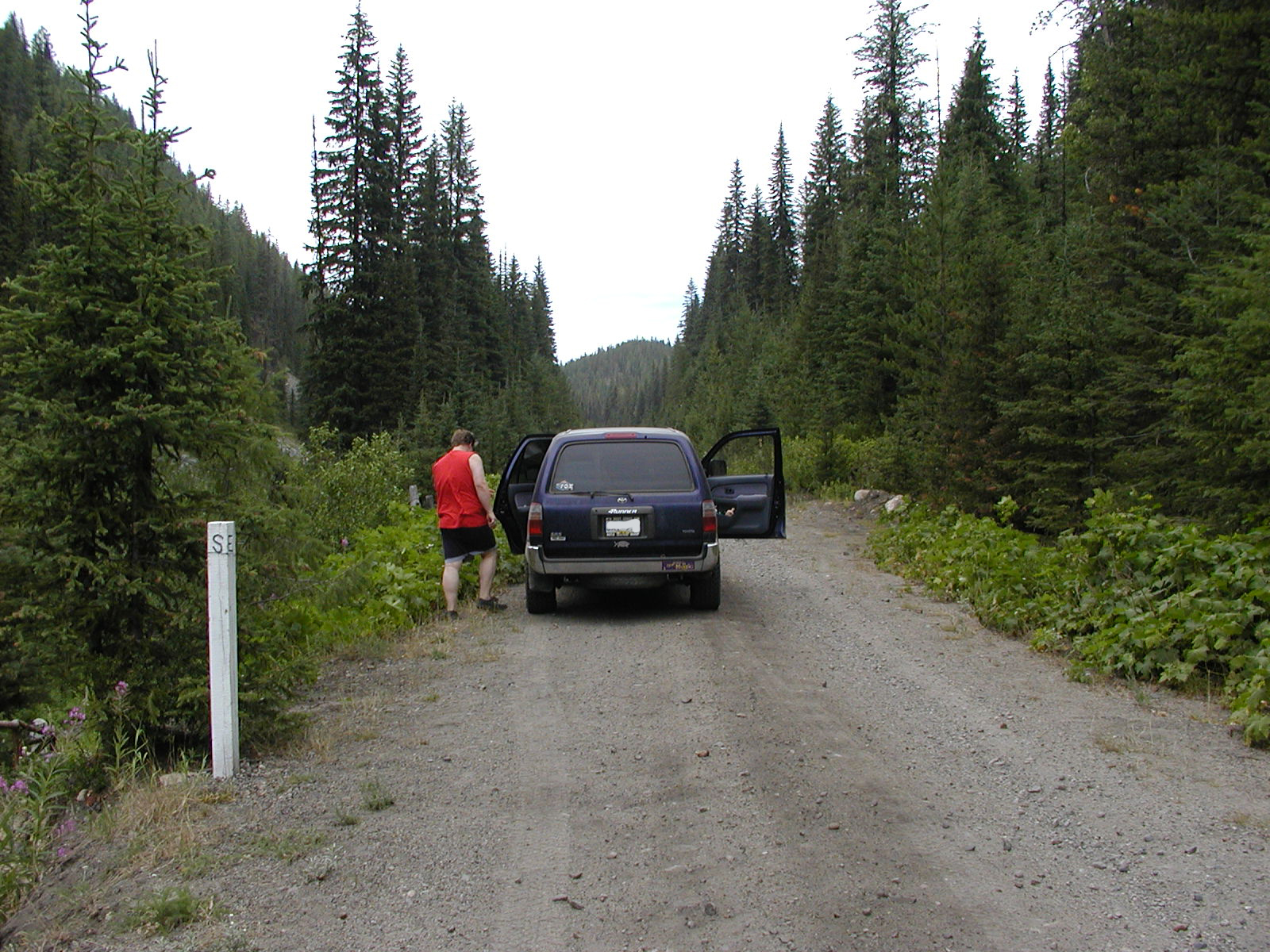
Taking the road around Bulldog Mountain up and over down into Renatta, on Lower Arrow Lake